
Search for another town

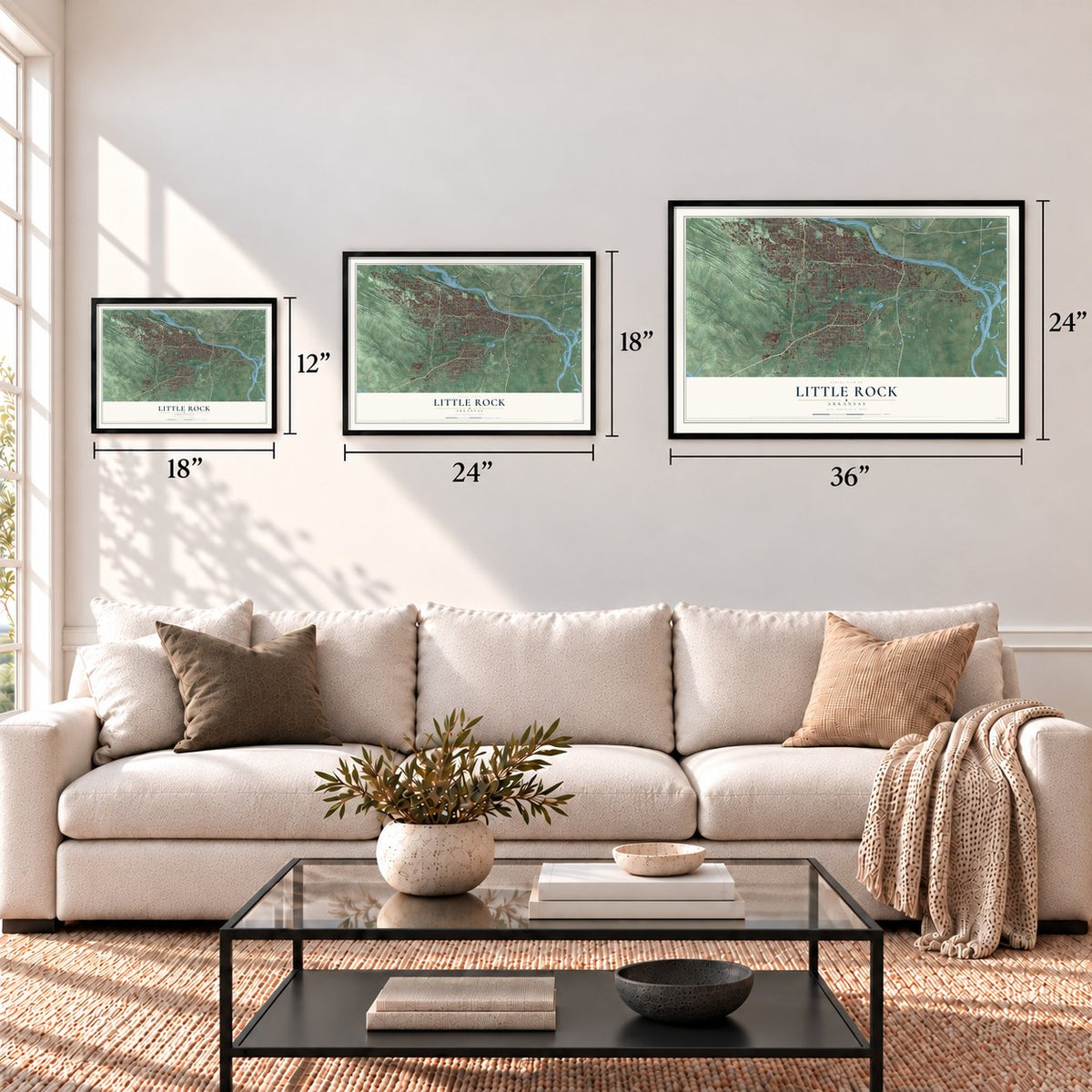

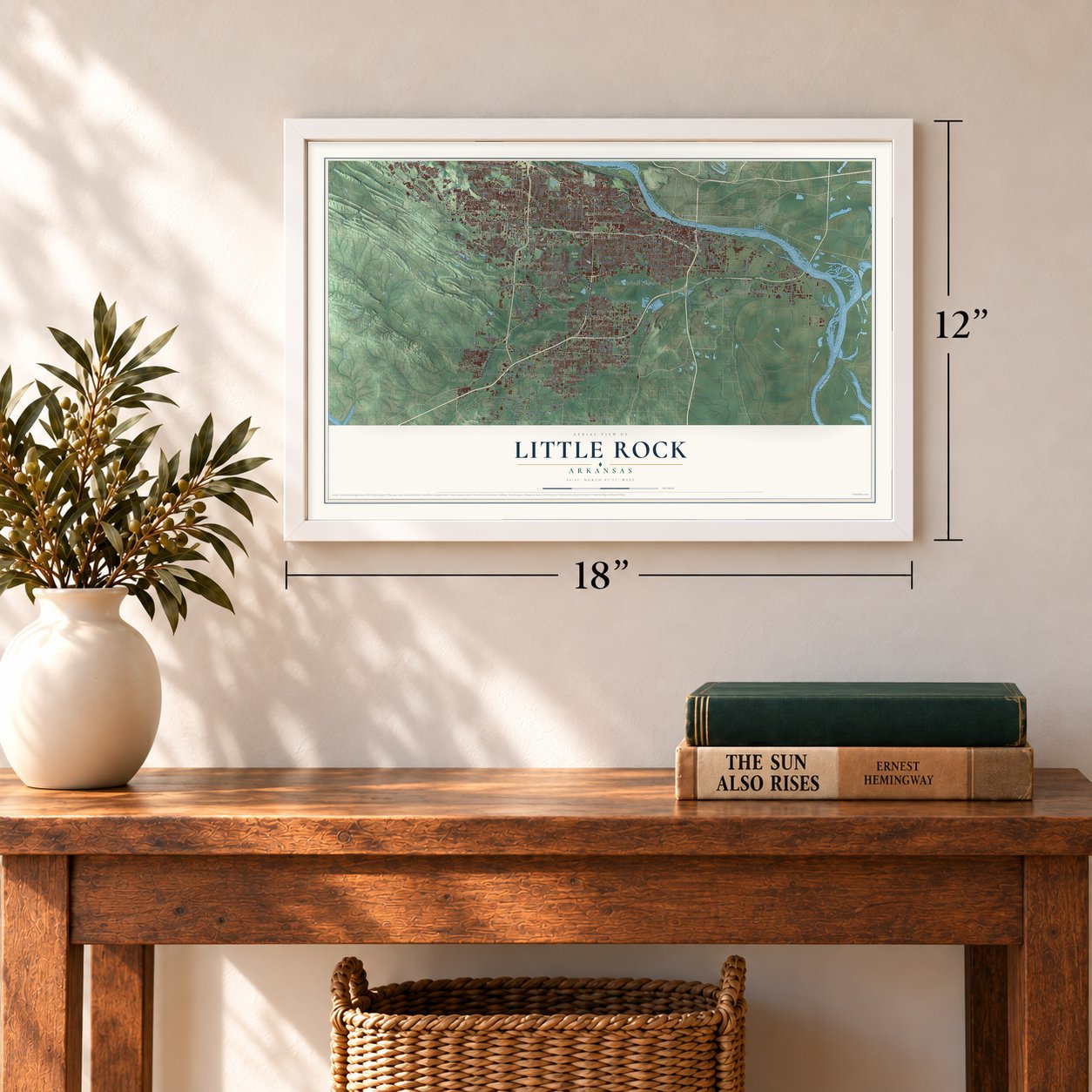

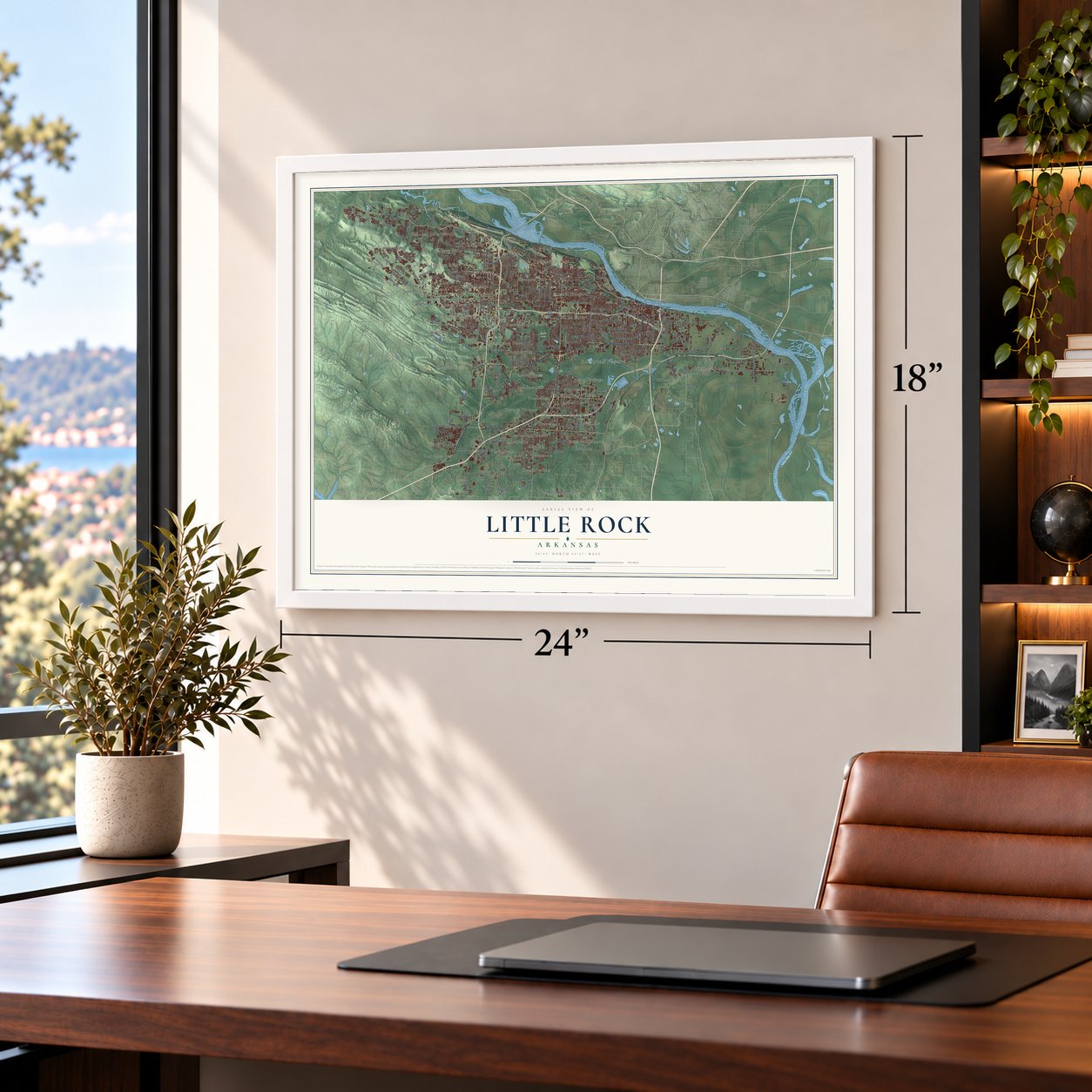

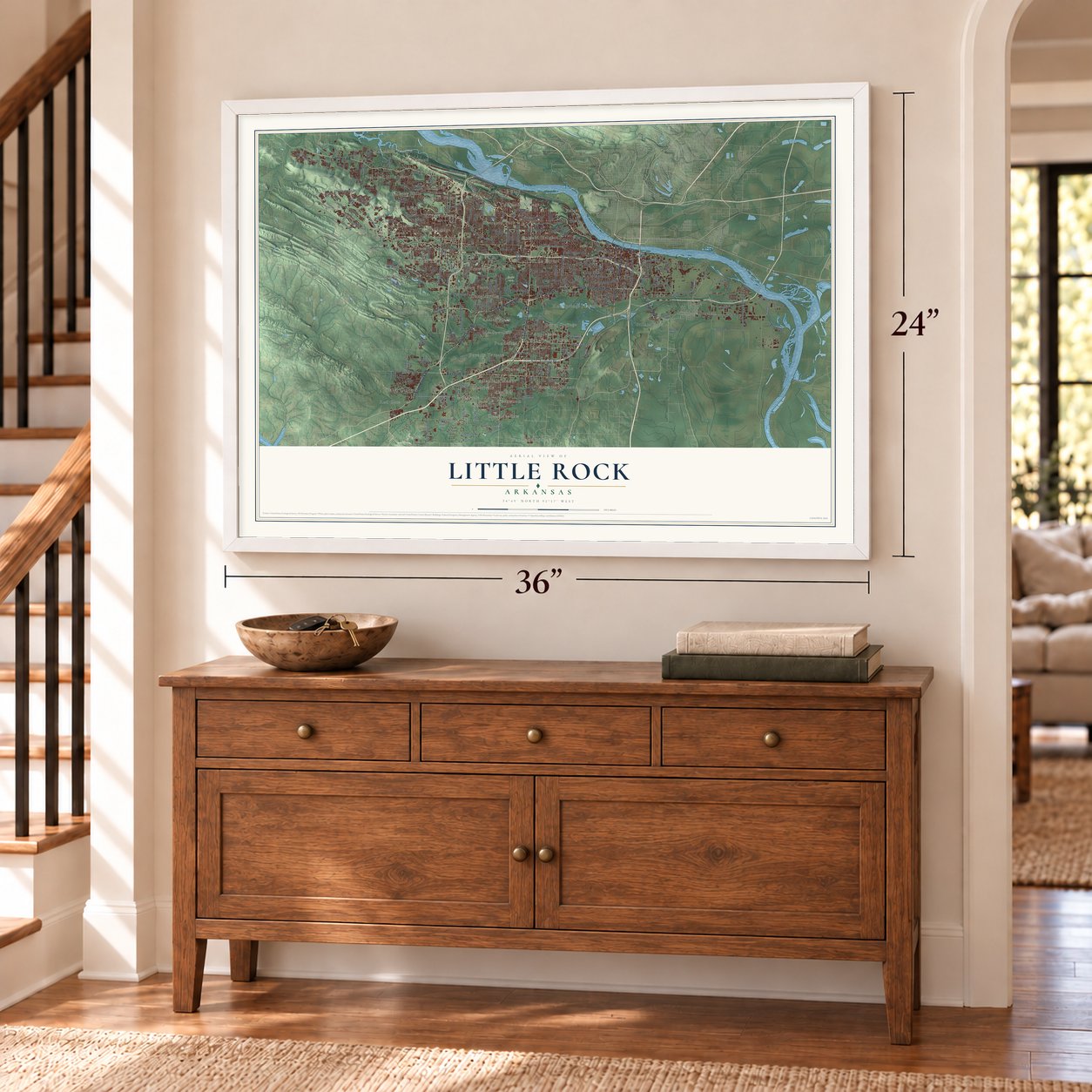

Free U.S. delivery 7 to 10 days after you order
Little Rock, Arkansas Map Art
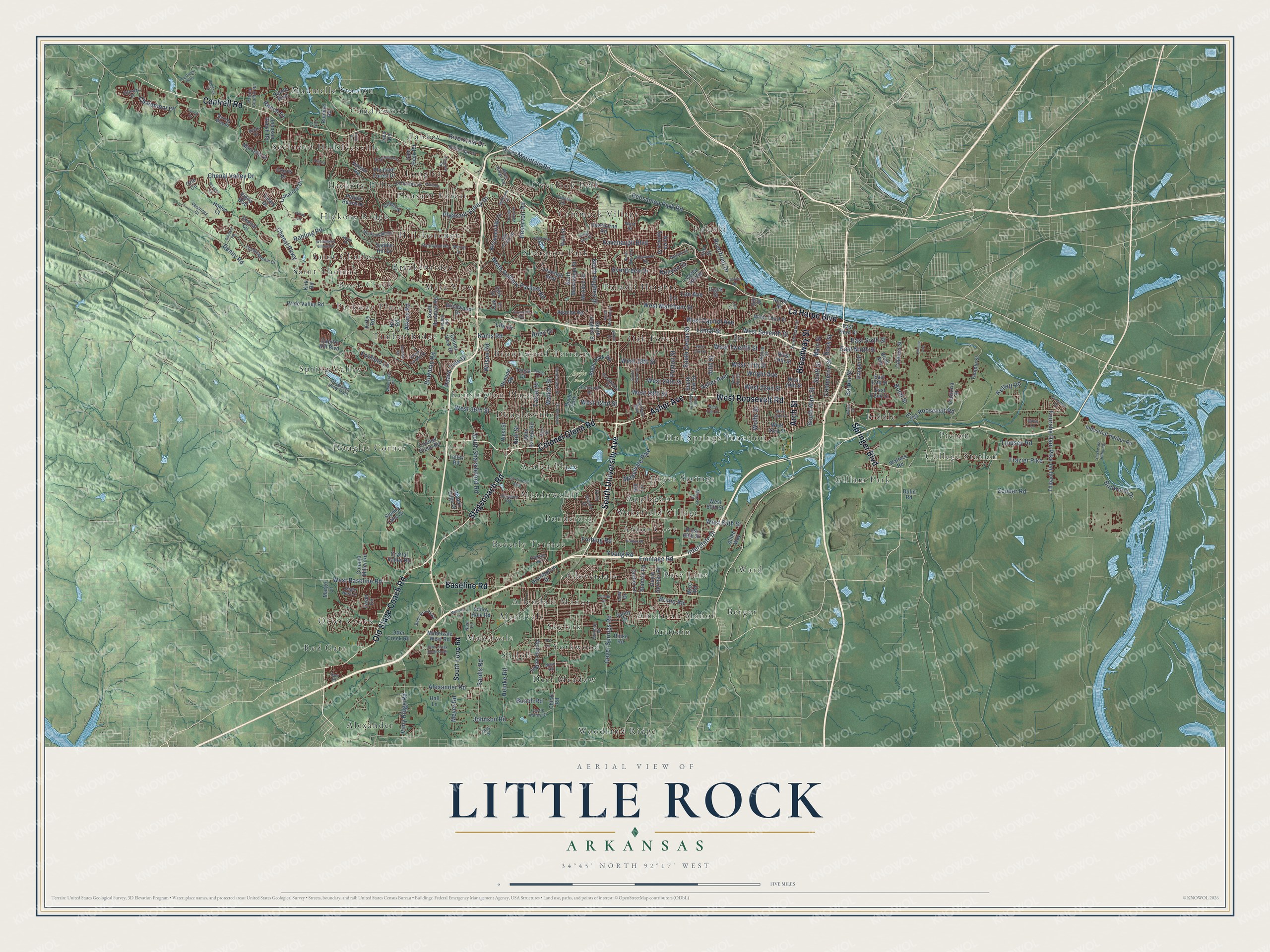
A new map of Little Rock, Arkansas, made in 2026 and printed to order on thick archival matte paper.
12" x 18" Archival Matte Print
A Map of Home. A Work of Art.
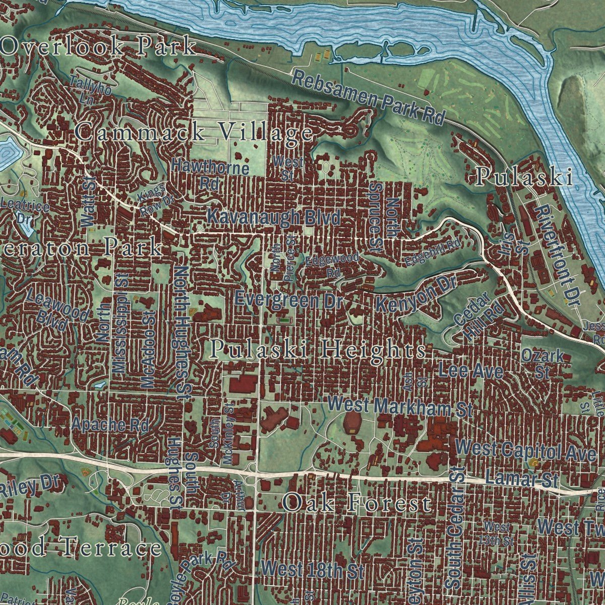
Explore Little Rock, Arkansas from a whole new perspective. Created using aerial imagery and detailed geographic data, this map captures Little Rock building by building, with labeled streets, familiar landmarks, and shaded topographical relief that highlights the natural contours of the landscape.
Combining modern data with the timeless character of a vintage atlas, this map is just as interesting up close as it is beautiful on the wall. Whether you grew up in Little Rock, spent memorable years there, or call it home today, this unique map is a great way to celebrate a place that means something to you. Zoom in on the preview to look for your street, and then order a print to put your memories on the wall.
Three ways to hang it
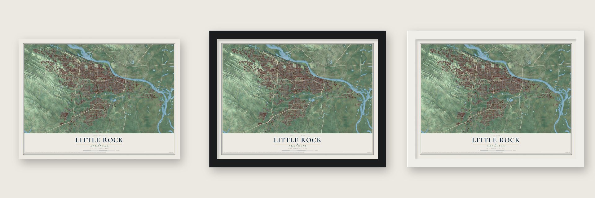
Unframed archival matte, a black wood frame or a white wood frame.
Up close
Geography Worth Displaying
This map was created using accurate cartographic data and authoritative geographic sources, including the U.S. Geological Survey and the Census Bureau. The map brings together terrain, waterways, roads, and building detail. The majority of the streets are labeled, houses are accurately depicted, and the topography is derived from government sources. Combining local data with carefully composed color and shading leads to this beautifully detailed Little Rock artwork for your wall.
Rather than simply showing street outlines, we’ve included as many of the street names as we could reasonably fit on the map while keeping their names legible. Zoom in on the high resolution preview to see exactly what’s on the map. We truly set out to create a statement piece for anyone who loves Little Rock. So whether it’s for you, or a gift for someone you love, we hope this map of Little Rock brings back fond memories.
Read the story behind this map of Little Rock, Arkansas from 2026.

About Little Rock, Arkansas
From the CALS Encyclopedia of Arkansas: "The name changed back to Little Rock, and in the fall of 1821, the Arkansas territorial capital was moved there from Arkansas Post. Little Rock was incorporated as a town in 1831 and as a city in 1835."
From the CALS Encyclopedia of Arkansas: "The first modern shopping center in Little Rock, the Town and Country Center at Asher and University, was built in 1956. Also in 1956, KOKY, Little Rock’s first radio station staffed by and aimed toward African Americans, was founded."
Find your street
Names on the Little Rock map
Every name below is printed on this map. Look for your street, your school, the park where you played, or the pond down the road.
Places and landmarks59
- Boyle Park
- Alexander
- Allendale Manor
- American Manor
- Applegate
- Arbor Cove
- Azalea Place
- Base Line
- Berger
- Beverly Terrace
- Biddle
- Breckenridge
Show all 59 places
- Brittain
- Brownwood Terrace
- Cammack Village
- Candlewood
- Cloverdale
- College Station
- Deer Meadow
- Douglas Corner
- Douglasville
- Geyer Springs
- Gillam Park
- Hickory Hills
- Hickory Ridge
- Hillsborough
- Hot Springs Junction
- Ivesville
- Kensington Place
- Longlea
- Mabelvale
- Maumelle Station
- Meadowcliff
- Merrivale
- Mesa View
- Oak Forest
- Otter Creek
- Overlook Park
- Pankey
- Parkway Place
- Picron
- Pleasant Forest
- Ponderosa
- Pulaski
- Pulaski Heights
- Red Gate
- Rock Creek
- Saint Charles
- Saint Thomas
- Secluded Hills
- Sheraton Park
- Shiloh
- Skylark
- Spring Valley
- Timber Ridge
- Wakefield Village
- Ward
- Woodland Ridge
- Yorkwood
Streets and roads267
- Cantrell Road
- South University Avenue
- Colonel Glenn Road
- West Roosevelt Road
- Asher Avenue
- Old Stage Coach Road
- Stagecoach Road
- Baseline Road
- Springer Boulevard
- Arch Street
- La Harpe Boulevard
- Broadway Street
- West Twelfth Street
- North Rodney Parham Road
- East Roosevelt Road
- West Capitol Avenue
- Barber Street
- Wright Avenue
- Chenal Valley Drive
- Frontage Road
- West Baseline Road
- Alexander Road
- West 17th Street
- South Cedar Street
- Chalamont Drive
- Chenal Parkway
- West Markham Street
- Kanis Road
- Mabelvale Pike
- Geyer Springs Road
Show all 267 streets
- Frazier Pike
- West 65th Street
- South Shackleford Road
- Rebsamen Park Road
- Rahling Road
- Kavanaugh Boulevard
- West 36th Street
- West Seventh Street
- West 24th Street
- West 22nd Street
- West 32nd Street
- Bowman Road
- West 18th Street
- Fourche Dam Pike
- West 28th Street
- East Ninth Street
- Lindsey Road
- Pleasant Valley Drive
- Rivercrest Drive
- Main Street
- Evergreen Drive
- Riverfront Drive
- East Sixth Street
- Sardis Road
- Lee Avenue
- River Mountain Road
- Vimy Ridge Road
- South Main Street
- Wolfe Street
- Bond Street
- Scott Street
- Young Road
- Heinke Road
- Denny Road
- Zeuber Road
- Reservoir Road
- Walker Street
- Peyton Street
- Rock Street
- North Hughes Street
- Holt Street
- Birdwood Drive
- Allis Street
- Commerce Street
- Interstate Drive
- Johnson Road
- Meyer Road
- Bunch Road
- Tatum Street
- Peach Tree Drive
- Ranch Drive
- Wilson Road
- Atkins Road
- Forbing Road
- Riley Drive
- Foxfield Lane
- Bruno Road
- Kenyon Drive
- Kellett Road
- Lamar Street
- Lile Drive
- South Loop Road
- Chicot Road
- Lamarche Drive
- West 14th Street
- West 20th Street
- South Bowman Road
- John Barrow Road
- Hinson Road
- West 33rd Street
- West Third Street
- Breckenridge Drive
- Pebble Beach Drive
- Sibley Hole Road
- Boyle Park Road
- Pleasant Forest Drive
- South Oak Street
- Valley Drive
- Bond Avenue
- East 17th Street
- Hawthorne Road
- Mabelvale West Road
- Romine Road
- Kirk Road
- North Mississippi Street
- Industrial Harbor Road
- Crystal Valley Road
- East Third Street
- North Spruce Street
- Pride Valley Road
- Ranch Boulevard
- Otter Creek Road
- Chenal Circle
- Thibault Road
- Doyle Springs Road
- Cedar Hill Road
- Dreher Lane
- East 22nd Street
- Talais Drive
- Sam Peck Road
- Factoria Street
- Legion Hut Road
- Saddle Hill Drive
- South Hughes Street
- North Street
- Colonel Miller Road
- Laver Circle
- Leawood Boulevard
- Marcella Drive
- Stanton Road
- West 60th Street
- Birchwood Drive
- Talley Road
- Distribution Drive
- Johnson Ranch Road
- Sienna Lake Drive
- Kirby Road
- Apache Road
- West Street
- Hanger Street
- Hallen Court
- Center View Drive
- Temple Street
- Calhoun Street
- McAdoo Street
- Hall Lane
- Allied Way
- Nix Road
- Capitol Hill Boulevard
- Waters Edge Drive
- Vigne Boulevard
- Courts Drive
- Rummel Road
- Orle Circle
- Watt Street
- Tanya Drive
- Rinke Road
- Walters Road
- Margo Lane
- West 69th Street
- Dulin Road
- Ozark Street
- Gill Street
- Lew Drive
- Iris Street
- Hill Lane
- Ellis Drive
- Mize Road
- Oak Lane
- Ives Road
- Broadmoor Drive
- Fair Park Boulevard
- South State Street
- Bishop Street
- Murray Street
- Old Forge Drive
- River Ridge Road
- Herndon Road
- El Dorado Drive
- Beckenham Drive
- Champagnolle Drive
- Leatrice Drive
- Zion Street
- Bass Pro Parkway
- Cherry Laurel Drive
- Vancouver Drive
- Bainbridge Drive
- Carmel Drive
- Merrill Drive
- Rainwood Road
- Nash Lane
- Castle Valley Drive
- Tallyho Lane
- Autumn Road
- Iviers Drive
- Epernay Place
- Patrick Country Road
- Berney Way Drive
- Archwood Drive
- Varennes Court
- Main Road
- Gorgeous View Trail
- Eagle Nest Court
- Stillman Drive
- Edwina Drive
- Don Drive
- Clay Street
- Ivy Drive
- Dove Lane
- West 13th Street
- West 31st Street
- West 29th Street
- North Pierce Street
- South Maple Street
- South Taylor Street
- Gamble Road
- The Divide Parkway
- Wellington Village Road
- Sologne Circle
- Doral Drive
- Gordon Road
- Millbrook Road
- Rice Street
- Slackwater Harbor Drive
- Welch Street
- Fairview Road
- Plantation Drive
- Edgehill Road
- South Rice Street
- Sugar Maple Lane
- South McKinley Street
- Otter Creek Road South
- Echo Valley Drive
- Tall Timber Boulevard
- Paddock Court
- Ash Street
- Edgewood Road
- Katherine Street
- Arthur Drive
- Sweetgrass Drive
- Meadow Lane
- Sheraton Drive
- Villas Circle
- Hanna Lane
- Cloverhill Road
- Halifax Drive
- Kings Row Drive
- Patriot Court
- Jerry Drive
- Corning Avenue
- Little Street
- Jessie Road
- Trelon Drive
- Senate Drive
- Jacob Place
- Tully Cv
- Pat Lane
Names are listed as they appear on the printed map. Zoom into the product photos to find them.
The art of mapping a place
How This Map Was Made
Real places. Remarkable detail. Discover the layers that turn geographic data into a map of home.

The view from above
Aerial imagery reveals the character of the land: woodland, open fields, and the patterns of a place.

The shape of the land
Elevation data brings hills, valleys, and subtle changes in the landscape into view.

The details of home
Roads, waterways, and building footprints come together to make the map feel unmistakably local.

Geography becomes art
Considered color, shading, and typography bring the layers together in a map made for your wall.


Process illustrated with Mendon, Massachusetts. Aerial imagery: USDA NAIP. Terrain: USGS 3D Elevation Program. Map details and finished artwork: KNOWOL.
The Details
About This Print
Choose an archival matte print, or a black or white Ayous wood frame. The archival matte print is unframed.
Select your size and finish above to see the matching product image and price.
Materials & Craftsmanship
A contemporary map with the character of a classic atlas, printed on archival matte paper. Optional frames are made from Ayous wood.
Your printed map does not include the watermark shown in the full-map preview.
Shipping & Delivery
Free shipping within the United States. Every print is made to order in the USA.
Buying a gift? Add a note in your cart and we'll include it. We never put prices in the package.
Prints ship within 2 to 3 business days. Allow 7 to 10 days total from ordering for delivery. Timing may vary during holidays or periods of high order volume.
Read our shipping policy.
Returns and damaged prints
Each print is made to order. Change-of-mind refunds are not available after production.
If your print arrives damaged, misprinted or incorrect, contact support@knowol.com within 30 days of receiving it. Include your order number, photos and a description of the issue.
Read our full refund and replacement policy. For questions about your order, email support@knowol.com.
Find your town
Looking for another city?
Find a map of home in our Arkansas collection, or any town in the country.
Nearby
Maps of towns near Little Rock
Know someone from one of these towns? Their map makes a great gift.
 Cammack Village
, Arkansas
From $39.99See the map
 Sweet Home
, Arkansas
From $39.99See the map
 College Station
, Arkansas
From $39.99See the map
More maps nearby: Shannon Hills, North Little Rock, Landmark, Alexander and Maumelle.