
Search for another town


Free U.S. delivery 7 to 10 days after you order
Louisville, Ohio Map Art
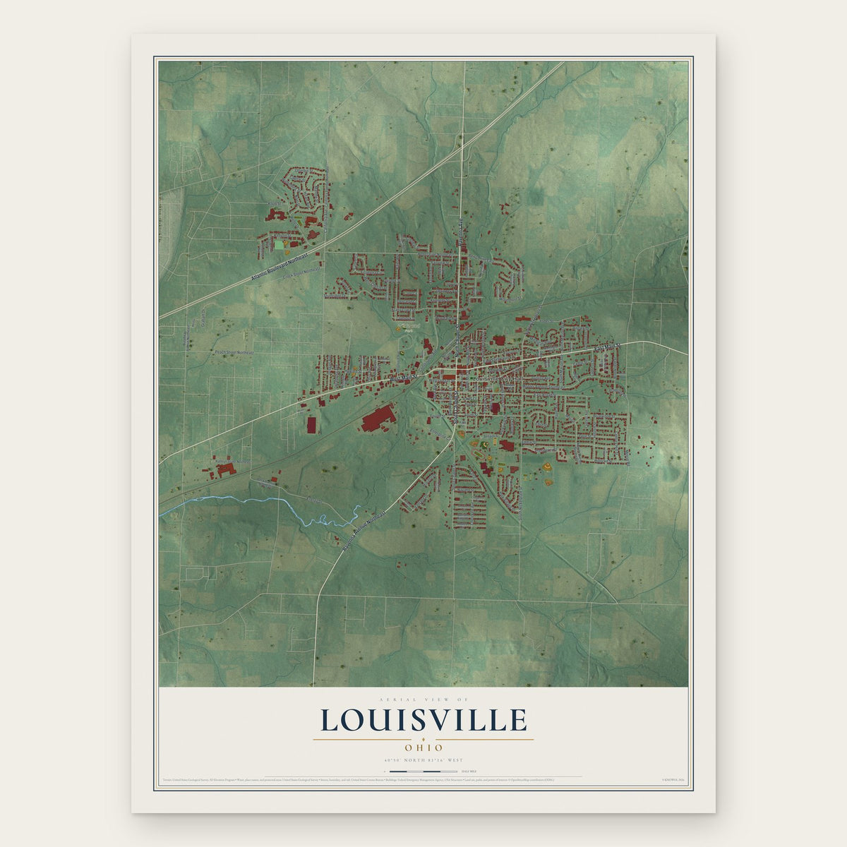
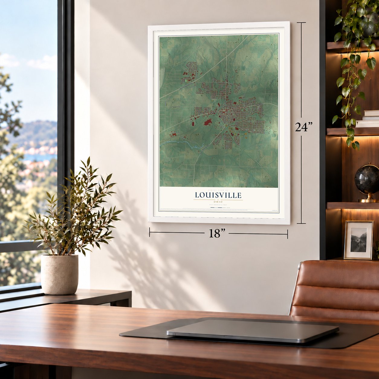
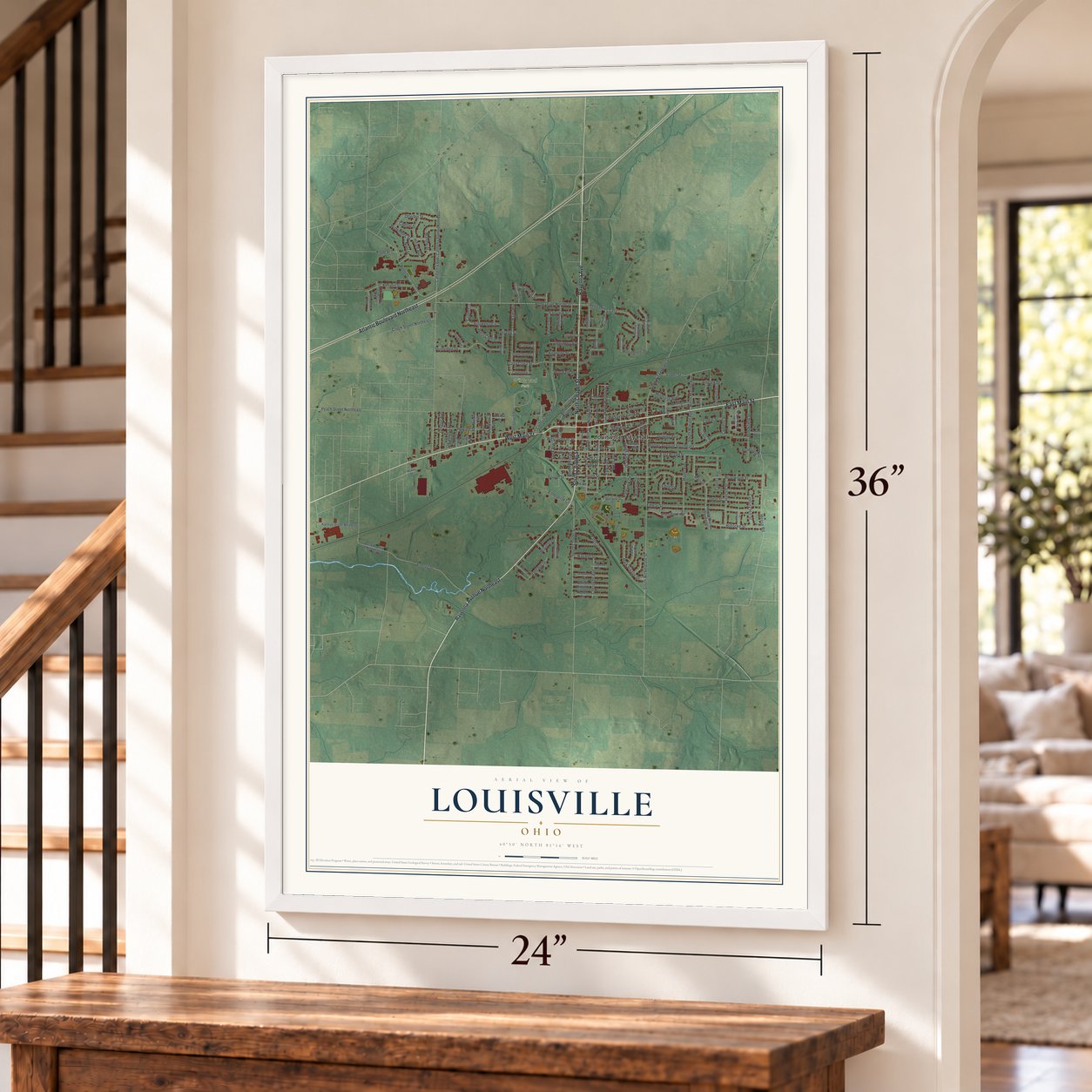
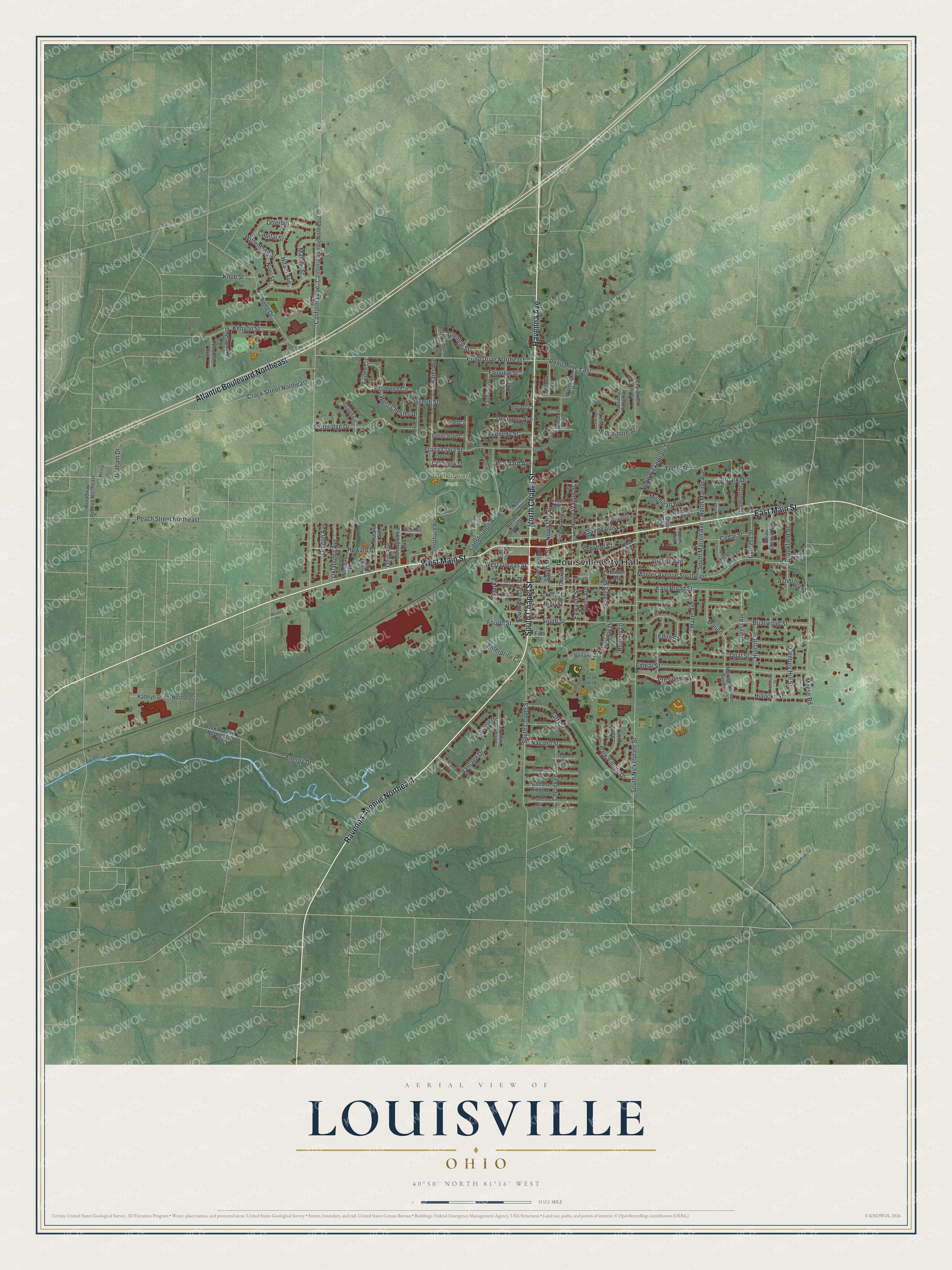
A new map of Louisville, Ohio, made in 2026 and printed to order on thick archival matte paper.
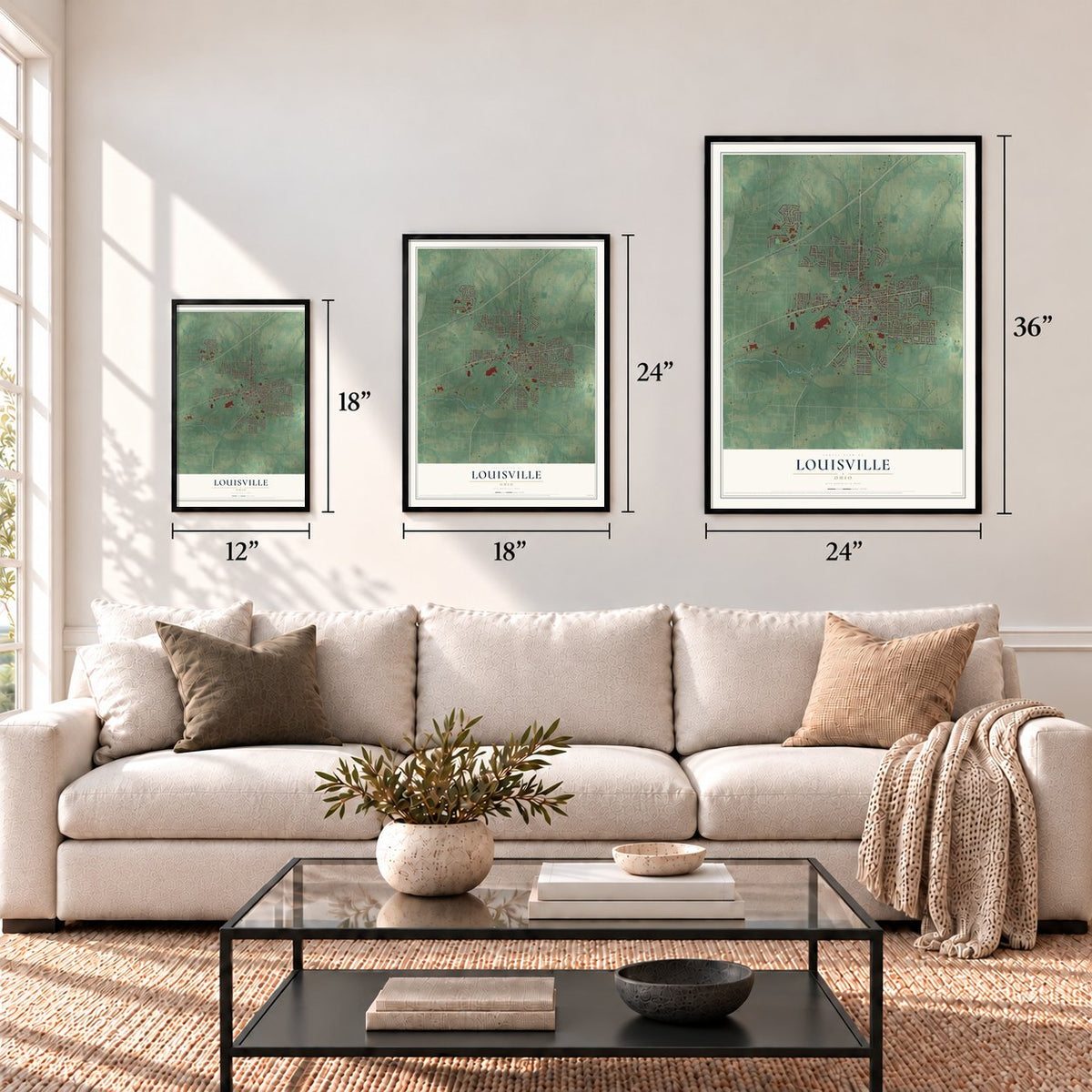
12" x 18" Archival Matte Print
A Map of Home. A Work of Art.
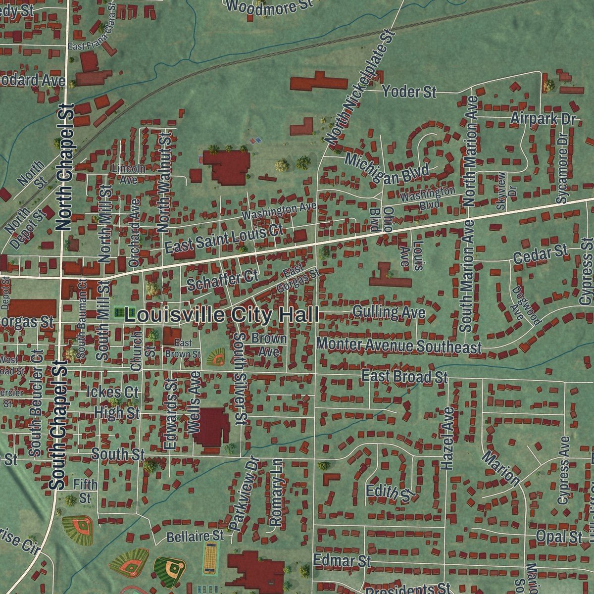
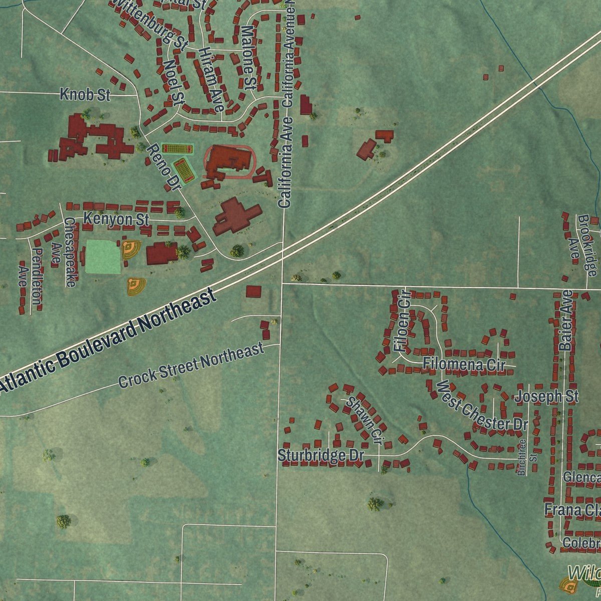
Explore Louisville, Ohio from a whole new perspective. Created using aerial imagery and detailed geographic data, this map captures Louisville building by building, with labeled streets, familiar landmarks, and shaded topographical relief that highlights the natural contours of the landscape.
Combining modern data with the timeless character of a vintage atlas, this map is just as interesting up close as it is beautiful on the wall. Whether you grew up in Louisville, spent memorable years there, or call it home today, this unique map is a great way to celebrate a place that means something to you. Zoom in on the preview to look for your street, and then order a print to put your memories on the wall.
Three ways to hang it
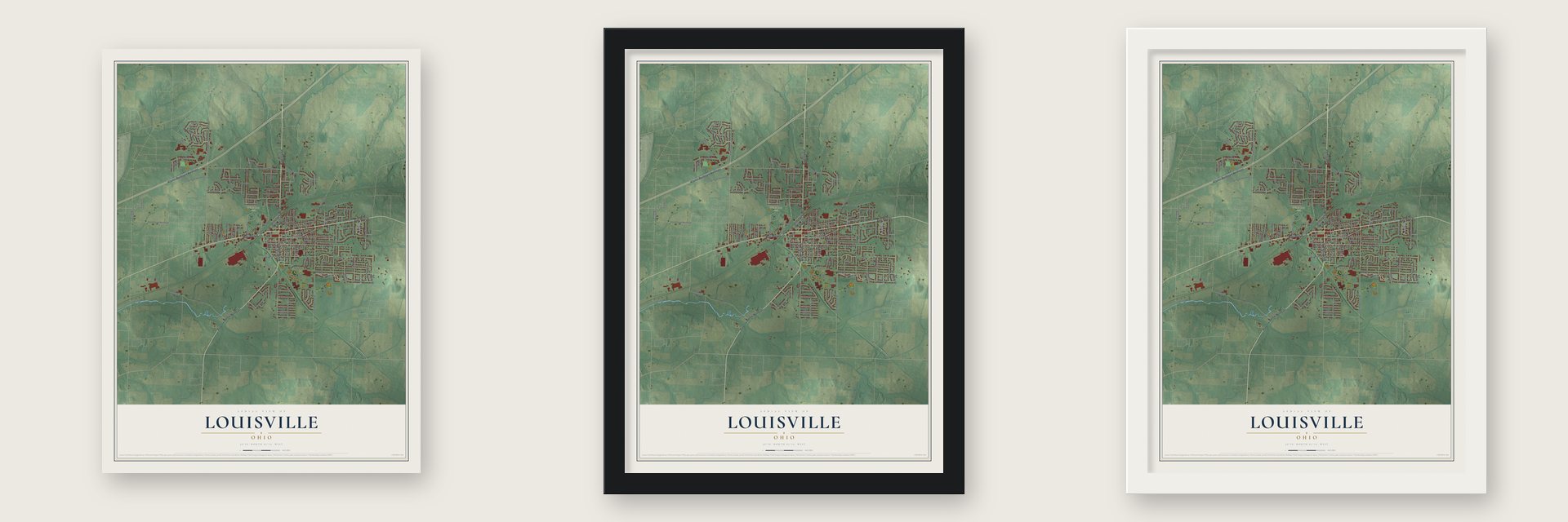
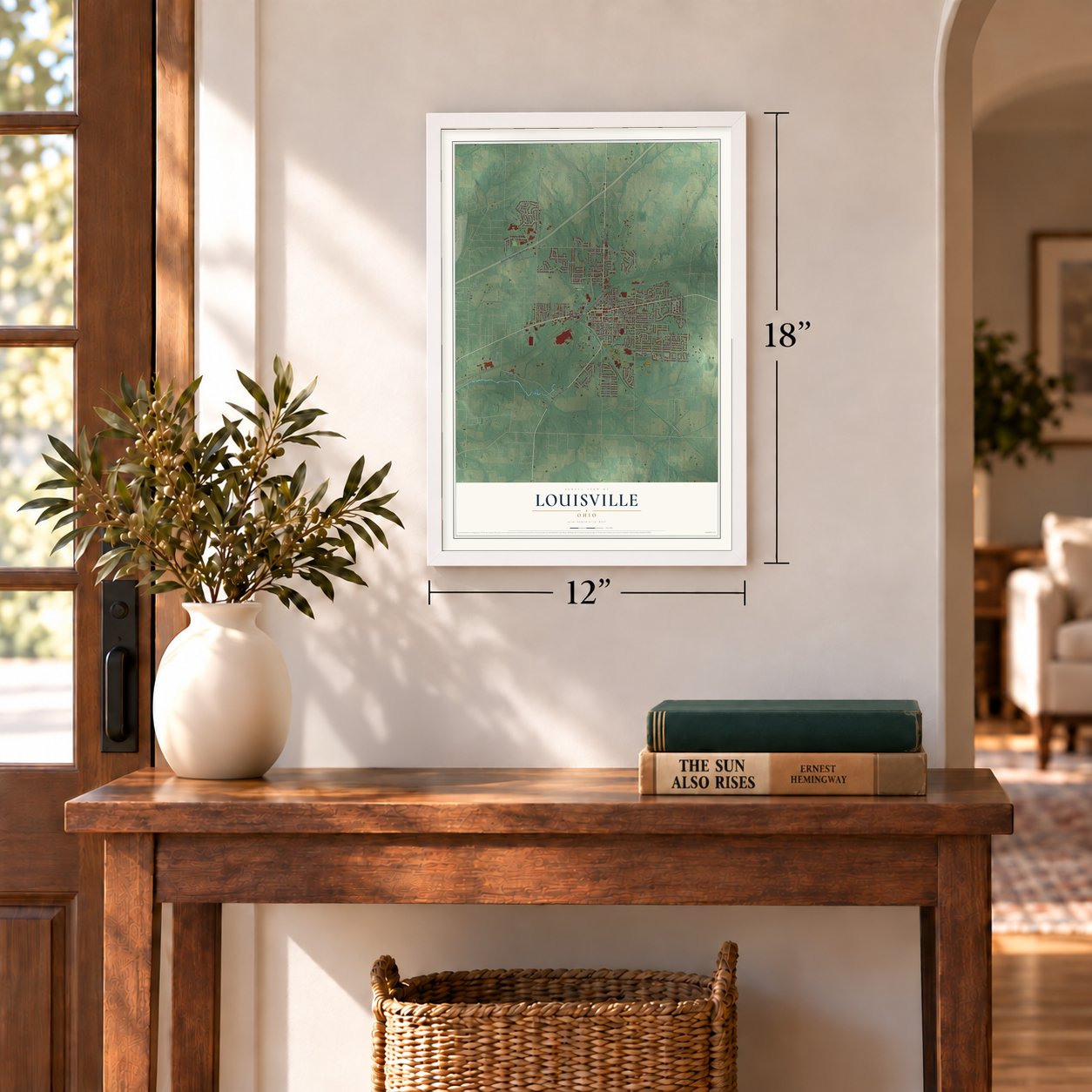
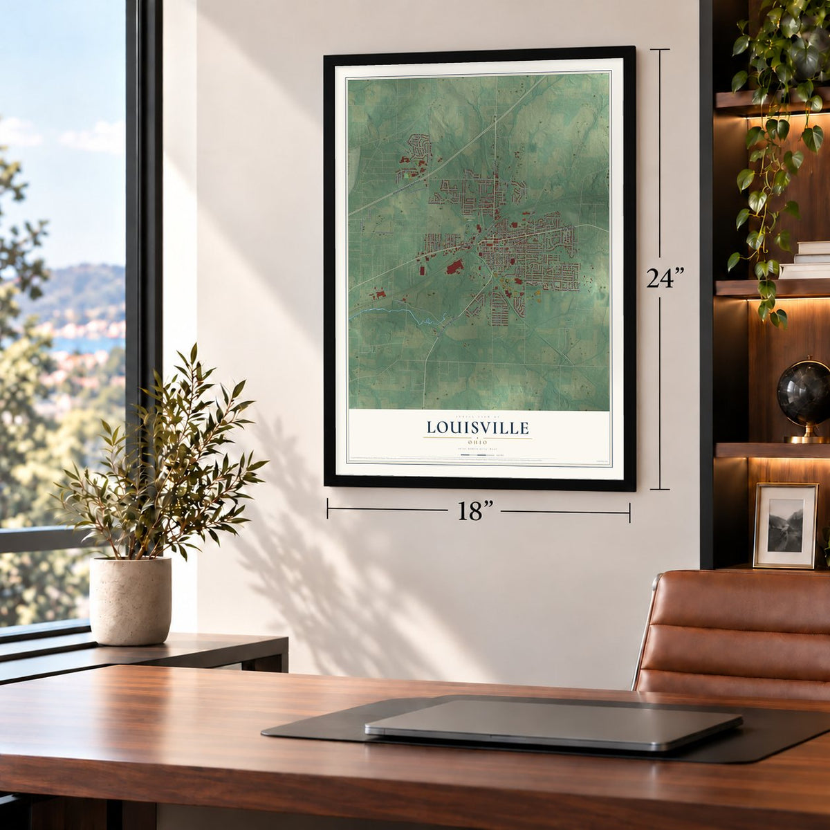
Unframed archival matte, a black wood frame or a white wood frame.
Up close
Geography Worth Displaying
This map was created using accurate cartographic data and authoritative geographic sources, including the U.S. Geological Survey and the Census Bureau. The map brings together terrain, waterways, roads, and building detail. The majority of the streets are labeled, houses are accurately depicted, and the topography is derived from government sources. Combining local data with carefully composed color and shading leads to this beautifully detailed Louisville artwork for your wall.
Rather than simply showing street outlines, we’ve included as many of the street names as we could reasonably fit on the map while keeping their names legible. Zoom in on the high resolution preview to see exactly what’s on the map. We truly set out to create a statement piece for anyone who loves Louisville. So whether it’s for you, or a gift for someone you love, we hope this map of Louisville brings back fond memories.
Read the story behind this map of Louisville, Ohio from 2026.

About Louisville, Ohio
Louisville is a city of 9,521 people in Stark County, on the east branch of Nimishillen Creek about 7 miles northeast of Canton. Henry Lautzenheiser, a German, and Frederick Fainot, a French Huguenot, settled the town on October 8, 1834, and named it Lewisville for Lautzenheiser's son Lewis. When Sam Petree opened the post office in 1837, officials found that Ohio already had a town called Lewisville, so the name was respelled Louisville.
In its early years Louisville competed for growth with Harrisburg, a stagecoach stop in the same township. The creek helped Louisville, but the turning point came in 1852, when the Pittsburgh, Fort Wayne and Chicago Railway came through town while Harrisburg still had to ship its wheat by barge. Louisville pulled ahead, became a village on April 1, 1872, with George Violand as its first mayor, and voted to become a city in 1960.
- The Constitution TownOn September 17, 1952, Olga T. Weber gathered Louisville residents to honor the day in 1787 when the U.S. Constitution was finished. Her lobbying worked: Governor Frank Lausche made September 17 Constitution Day in Ohio in 1953, and President Eisenhower proclaimed Constitution Week in 1955. On April 15, 1957, the City Council named Louisville "The Constitution Town," and the state marker calls its yearly celebration the longest running Constitution Day in the nation.
- St. Louis CollegeSt. Louis Church on North Chapel Street was finished in 1870 and dedicated in 1878, and it joined the National Register in 1979. Across the street, the Reverend Louis Hoffer opened St. Louis College in 1866. It closed in 1873 for lack of money and because students struggled to get there. The building later served as an orphanage until 1925 and a home for the elderly from 1927, and it was torn down in 1975.
- Twenty saloons at onceIn the late 19th century Louisville's businesses included a plow works, a brewery, tanneries, flour mills, a brickyard, a shoe factory, a basket factory and two hotels. At one point the town also had twenty saloons, which gave it a rough name. Two businesses from that era, Star Mill and the Town Tavern, are still open, and The Louisville Herald has been published since 1887.
- Street lights for Christmas 1884Telephone toll lines reached Louisville in the early 1880s, and for Christmas 1884 the town lit its first public street lights, twelve oil lamps downtown. A public water system followed in 1894 and sewers in 1910. In 1914 Main Street became the first road in town to be fully paved.
Find your street
Names on the Louisville map
Every name below is printed on this map. Look for your street, your school, the park where you played, or the pond down the road.
Places and landmarks2
- Louisville City Hall
- Wildwood Park
Streets and roads154
- East Main Street
- Ravenna Avenue Northeast
- Ravenna Avenue
- South Chapel Street
- West Main Street
- North Chapel Street
- Atlantic Boulevard Northeast
- Marion
- East Broad Street
- South Nickelplate Street
- Reno Drive
- California Avenue
- Crock Street Northeast
- East Saint Louis Court
- Edmar Street
- South Street
- High Street
- Monter Avenue Southeast
- Energy Drive
- Opal Street
- Reno Drive Northeast
- Peach Street Northeast
- Constitution Avenue
- Meese Road
- Reno Drive East
- Sturbridge Drive
- Frana Clara Street
- Briarwood Street
- Baier Avenue
- South Mill Street
Show all 154 streets
- North Nickelplate Street
- Howard Street
- Hazel Avenue
- West Chester Drive
- South Silver Street
- Edwards Street
- Hillocke Street
- Yoder Street
- Filomena Circle
- Kenyon Street
- Otterbin Street
- Park Village Drive
- South Marion Avenue
- Brookfield Street
- Hillcliff Street
- West Gorgas Street
- Hiram Avenue
- Taff Circle
- Wells Avenue
- Presidents Street
- Cypress Street
- Vantage Drive
- Wittenburg Street
- Cherokee Avenue
- Oregon Avenue
- Woodmore Street
- North Walnut Street
- South Beucler Court
- Oklahoma Avenue
- North Marion Avenue
- Ickes Court
- Graham Drive
- Glenbar Street
- Malone Street
- Century Hill Street
- Kennedy Street
- Michigan Boulevard
- Cedar Street
- Navaho Street
- Noel Street
- Filoen Circle
- Gulling Avenue
- Airpark Drive
- North Mill Street
- Stark Avenue
- Enterprise Circle
- Ohio Avenue
- Devinney Avenue
- Fourth Street
- Fairview Street
- Woodard Avenue
- Parkview Drive
- Edith Street
- Romary Lane
- Ashbrook Street
- Knob Street
- Schaffer Court
- Horizon Drive
- Capital Street
- Joseph Street
- California Avenue Northeast
- Stertzbach Avenue
- Beck Avenue Northeast
- Broadway Avenue Northeast
- Church Street
- Kathryn Street Northeast
- North Depot Street
- Menegay Road
- Buffalo Ridge Street
- Beau Chemin Avenue
- Cheverton Avenue
- Rodeo Circle
- Indiana Avenue
- Fairlawn Avenue
- Ohio Boulevard
- Pennsylvania Avenue
- Marion Avenue Southeast
- Zwick Avenue
- Shawn Circle
- Wynridge Drive
- Louis Avenue
- Sycamore Drive
- Faircliff Avenue
- Chesapeake Avenue
- Glencarlyn Circle
- Sand Lot Circle
- Fifth Street
- Bellaire Street
- Cypress Avenue
- Pendleton Avenue
- Brookridge Avenue
- Colebrook Street
- Orchard Avenue
- North Street
- Cresent Drive
- Joel Circle
- Clara Court
- Brown Avenue
- Mosby
- Washington Boulevard
- East Gorgas Street
- Washington Avenue
- South Bauman Court
- Lincoln Avenue
- Shawnee Circle
- Winding Ridge Avenue
- Liberty Drive
- View Pointe Avenue
- Dogwood Avenue
- Hillmore Street
- Michigan Avenue
- Cheyenne Circle
- Wellman Street
- Skyview Drive
- East Brown Street
- West Broad Street
- Birchtree Street
- South Depot Street
- Mercier Street
- East Frana Clara Street
- Willow Avenue
- Falling Brook Circle
- Monter Avenue
- Meade Road
Names are listed as they appear on the printed map. Zoom into the product photos to find them.
The art of mapping a place
How This Map Was Made
Real places. Remarkable detail. Discover the layers that turn geographic data into a map of home.

The view from above
Aerial imagery reveals the character of the land: woodland, open fields, and the patterns of a place.

The shape of the land
Elevation data brings hills, valleys, and subtle changes in the landscape into view.

The details of home
Roads, waterways, and building footprints come together to make the map feel unmistakably local.

Geography becomes art
Considered color, shading, and typography bring the layers together in a map made for your wall.


Process illustrated with Mendon, Massachusetts. Aerial imagery: USDA NAIP. Terrain: USGS 3D Elevation Program. Map details and finished artwork: KNOWOL.
The Details
About This Print
Choose an archival matte print, or a black or white Ayous wood frame. The archival matte print is unframed.
Select your size and finish above to see the matching product image and price.
Materials & Craftsmanship
A contemporary map with the character of a classic atlas, printed on archival matte paper. Optional frames are made from Ayous wood.
Your printed map does not include the watermark shown in the full-map preview.
Shipping & Delivery
Free shipping within the United States. Every print is made to order in the USA.
Buying a gift? Add a note in your cart and we'll include it. We never put prices in the package.
Prints ship within 2 to 3 business days. Allow 7 to 10 days total from ordering for delivery. Timing may vary during holidays or periods of high order volume.
Read our shipping policy.
Returns and damaged prints
Each print is made to order. Change-of-mind refunds are not available after production.
If your print arrives damaged, misprinted or incorrect, contact support@knowol.com within 30 days of receiving it. Include your order number, photos and a description of the issue.
Read our full refund and replacement policy. For questions about your order, email support@knowol.com.
Find your town
Looking for another city?
Find a map of home in our Ohio collection, or any town in the country.
Nearby
Maps of towns near Louisville
Know someone from one of these towns? Their map makes a great gift.
 East Canton
, Ohio
From $39.99See the map
 Middlebranch
, Ohio
From $39.99See the map
 Canton
, Ohio
From $39.99See the map
More maps nearby: Robertsville, North Canton, Marlboro, Meyers Lake and North Industry.