
Search for another town





Free U.S. delivery 7 to 10 days after you order
Lower Macungie, Pennsylvania Map Art
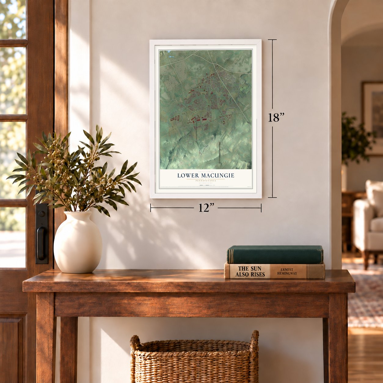
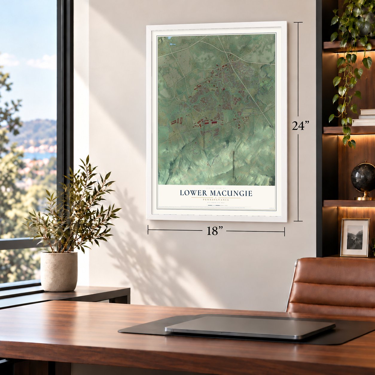
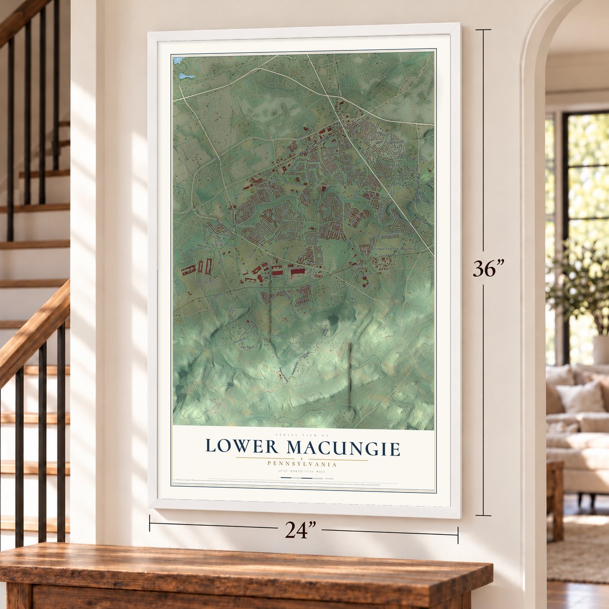
A new map of Lower Macungie, Pennsylvania, made in 2026 and printed to order on thick archival matte paper.
12" x 18" Archival Matte Print
A Map of Home. A Work of Art.
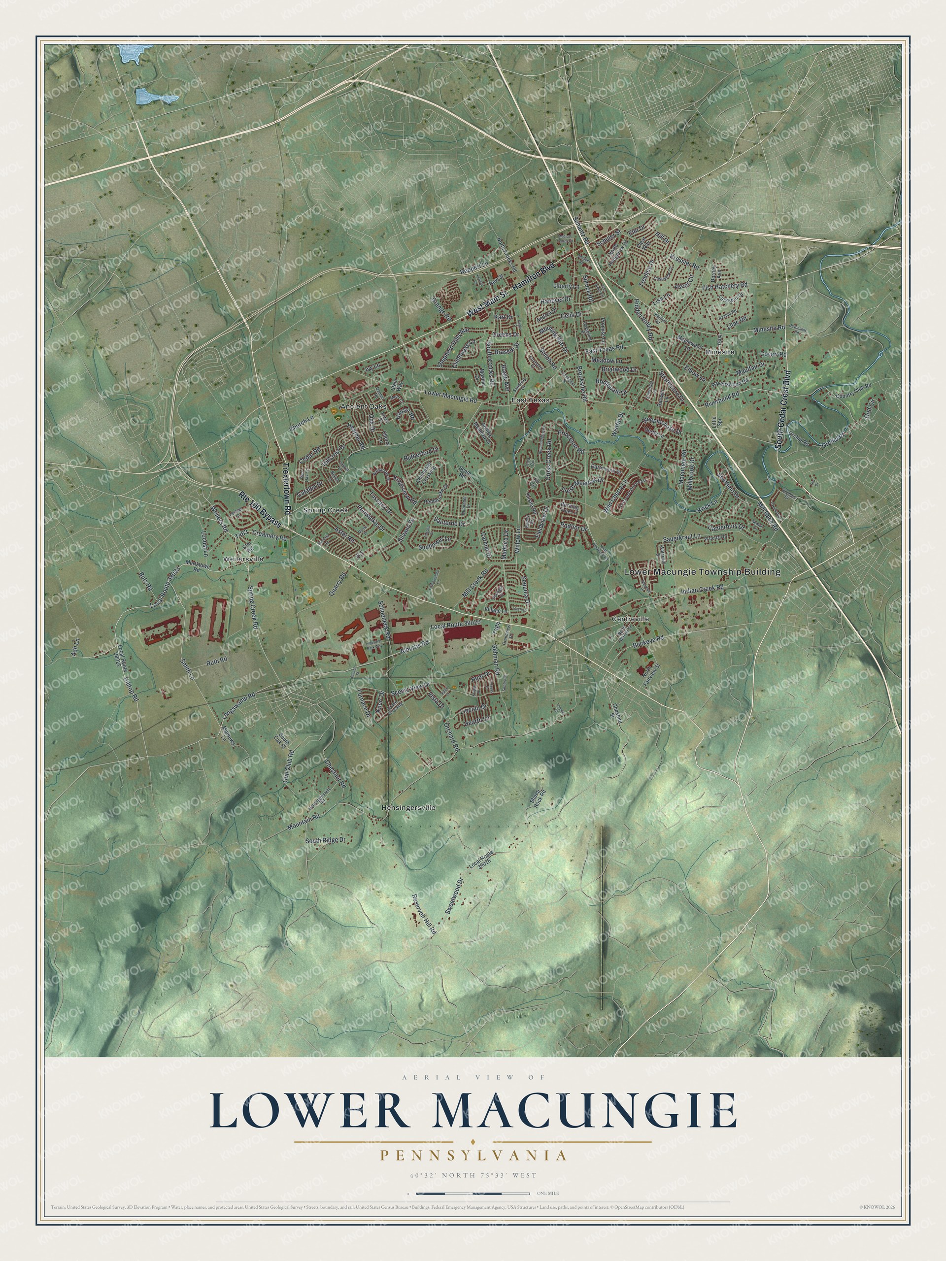
If you live off Hamilton Boulevard, grew up in Ancient Oaks, or have family near East Texas or Centreville, this map gives you plenty to find. It's a modern aerial view of Lower Macungie Township in Lehigh County, Pennsylvania, made from modern data and finished with a vintage look. Zoom in on the preview and look for your block.
Three ways to hang it
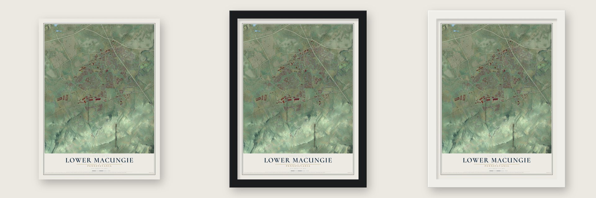
Unframed archival matte, a black wood frame or a white wood frame.
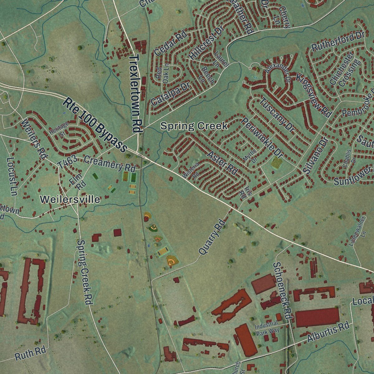
Up close
Real geography. Art worth displaying.
This map was created using accurate cartographic data and authoritative geographic sources, including the U.S. Geological Survey and the Census Bureau. The map brings together terrain, waterways, roads, and building detail. The majority of the streets are labeled, houses are accurately depicted, and the topography is derived from government sources. Combining local data with carefully composed color and shading leads to this beautifully detailed Lower Macungie artwork for your wall.
Rather than simply showing street outlines, we’ve included as many of the street names as we could reasonably fit on the map while keeping their names legible. Zoom in on the high resolution preview to see exactly what’s on the map. We truly set out to create a statement piece for anyone who loves Lower Macungie. So whether it’s for you, or a gift for someone you love, we hope this map of Lower Macungie brings back fond memories.
Read the story behind this map of Lower Macungie, Pennsylvania from 2026.

About Lower Macungie, Pennsylvania
Lower Macungie is a community in Pennsylvania with its own place in the state's local geography. The surviving source record identifies the community and preserves details that connect it with the surrounding area.
- 32,426 peopleCounted by the Census Bureau in 2020.
- Part of Lehigh CountyLower Macungie is identified in the source record as a community in Lehigh County.
Find your street
Names on the Lower Macungie map
Every name below is printed on this map. Look for your street, your school, the park where you played, or the pond down the road.
Places and landmarks8
- Lower Macungie Township Building
- Ancient Oaks
- Centreville
- East Texas
- Hensingersville
- Minesite
- Spring Creek
- Weilersville
Streets and roads202
- South Cedar Crest Boulevard
- Hamilton Boulevard
- West Main Street
- Route 100 Bypass
- Trexlertown Road
- Local Route 39023
- Local Route 39020
- Smith Lane
- Fish Hatchery Road
- Riverbend Road
- Hilltop Road
- East Texas Road
- Alburtis Road
- Longswamp Road
- Weilers Road
- Golf Circle
- Willow Lane
- Minesite Road
- Hauser Road
- Sauerkraut Lane
- Lower Macungie Road
- Spring Creek Road
- Mountain Road
- Mill Creek Road
- Brookside Road
- Schoeneck Road
- Indian Creek Road
- Macungie Road
- Sweetwood Drive
- Scenic View Drive
Show all 202 streets
- Wild Cherry Lane
- Reservoir Hill Road
- Mill Race Road
- Quarry Road
- Orchard Road
- Kressler Road
- Hidden Valley Road
- Ruth Road
- Sauterne Drive
- Sunflower Lane
- Fresh Meadow Drive
- Church Lane
- Treeline Drive
- Carmel Drive
- Sequoia Drive
- Princeton Road
- South Krocks Road
- Tuscany Drive
- Aster Road
- Gehman Road
- Rutherford Drive
- Morning Star Drive
- Fieldview Drive
- Lilac Road
- Gun Club Road
- Millbrook Drive
- Buckeye Road
- Schantz Road
- Shepherd Hills Avenue
- Periwinkle Drive
- Briarwood Drive
- Heather Road
- Hillcrest Drive
- Lincoln Drive
- Elbow Lane
- Canterbury Drive
- Creamery Road
- Cedar Road
- Celia Drive
- Cross Creek Road
- Sheffield Drive
- Bogie Avenue
- Hunt Drive
- Shiloh Road
- Steeplechase Drive
- Reppert Lane
- Ascot Circle
- Oak Drive
- Hanover Drive
- Hearth Lane
- Maulfair Drive
- Locust Lane
- Catalpa Drive
- Clubhouse Lane
- Bridlepath Drive
- Krick Lane
- Schuler Street
- Chestnut Road
- Meadow Lane
- Orchid Place
- Strathmore Drive
- Silvano Drive
- Liberty Lane
- South Ridge Drive
- Brassie Street
- Kingsview Road
- Lisa Lane
- Spruce Road
- Radnor Drive
- Butz Road
- Furnace Drive
- Hill Drive
- Wistful Drive
- Madeira Drive
- Grange Road
- Elm Drive
- Covert Road
- Ivy Lane
- Vista Drive
- Ash Lane
- Knerr Drive
- Greens Drive
- Kart Drive
- Mertztown Road
- South Oak Street
- Local Route 39022
- Chestnut Street
- Local Route 39018
- Country Club Road
- Pembrooke Drive
- Rolling Meadow Drive
- North Krocks Road
- Sheep Rock Road
- Mathews Lane
- Maplewood Lane
- Thistle Road
- Larkspur Drive
- Promise Lane
- Berwyn Lane
- Chichester Crossing
- Orchid Road
- North Hedgerow Drive
- Ravenswood Road
- Stein Way
- Andrea Drive
- Dartmouth Drive
- Little Spr
- North Fairview Street
- Eli Circle
- Clear Way
- Village Lane
- Dorney Avenue
- Derby Lane
- Mashie Drive
- Cherry Lane
- Burning Tree Lane
- Seem Road
- Elm Road
- New Street
- Alexander Drive
- Hensingersville Road
- Dubonnet Drive
- Covenant Court
- Terrwood Drive East
- Laurel Lane
- Crane Crossing
- Waterfall Drive
- Donegal Drive
- Watermill Drive
- Kaitlyn Road
- Clearview Circle
- Danner Road
- Fritch Drive
- North Walnut Street
- Red Oak Lane
- Grandview Drive
- Azalea Road
- Sandtrap Lane
- Beech Lane
- Mohr Cr
- Somerset Lane
- Dayspring Drive
- Tova Circle
- Olympic Drive
- Barley Drive
- Iris Road
- North Brookside Road
- Pine Grove Circle
- Sherman Drive
- Chablis Drive
- Autumn Ridge Road
- Heritage Street
- Lictenwalner Lane
- Wisteria Road
- Overlook Drive
- Myrtle Drive
- Lamplighter Drive
- Industrial Park Way
- Devonshire Road
- Fetters Lane
- Clauss Drive
- Swabia Court
- Eagle Street
- Knight Drive
- Medical Center Circle
- Stack Drive
- Oplinger Road
- Newton Circle
- Larch Lane
- Church Street
- Lorene Drive
- Dru Drive
Names are listed as they appear on the printed map. Zoom into the product photos to find them.
The art of mapping a place
How This Map Was Made
Real places. Remarkable detail. Discover the layers that turn geographic data into a map of home.

The view from above
Aerial imagery reveals the character of the land: woodland, open fields, and the patterns of a place.

The shape of the land
Elevation data brings hills, valleys, and subtle changes in the landscape into view.

The details of home
Roads, waterways, and building footprints come together to make the map feel unmistakably local.

Geography becomes art
Considered color, shading, and typography bring the layers together in a map made for your wall.


Process illustrated with Mendon, Massachusetts. Aerial imagery: USDA NAIP. Terrain: USGS 3D Elevation Program. Map details and finished artwork: KNOWOL.
The Details
About This Print
Choose an archival matte print, or a black or white Ayous wood frame. The archival matte print is unframed.
Select your size and finish above to see the matching product image and price.
Materials & Craftsmanship
A contemporary map with the character of a classic atlas, printed on archival matte paper. Optional frames are made from Ayous wood.
Your printed map does not include the watermark shown in the full-map preview.
Shipping & Delivery
Free shipping within the United States. Every print is made to order in the USA.
Buying a gift? Add a note in your cart and we'll include it. We never put prices in the package.
Prints ship within 2 to 3 business days. Allow 7 to 10 days total from ordering for delivery. Timing may vary during holidays or periods of high order volume.
Read our shipping policy.
Returns and damaged prints
Each print is made to order. Change-of-mind refunds are not available after production.
If your print arrives damaged, misprinted or incorrect, contact support@knowol.com within 30 days of receiving it. Include your order number, photos and a description of the issue.
Read our full refund and replacement policy. For questions about your order, email support@knowol.com.
Find your town
Looking for another city?
Find a map of home in our Pennsylvania collection.
Nearby
Maps of towns near Lower Macungie
Know someone from one of these towns? Their map makes a great gift.
 Ancient Oaks
, Pennsylvania
From $39.99See the map
 Macungie
, Pennsylvania
From $39.99See the map
 Trexlertown
, Pennsylvania
From $39.99See the map
More maps nearby: Wescosville, Alburtis, Breinigsville, Upper Milford and Emmaus.