
Search for another town
Free U.S. delivery 7 to 10 days after you order
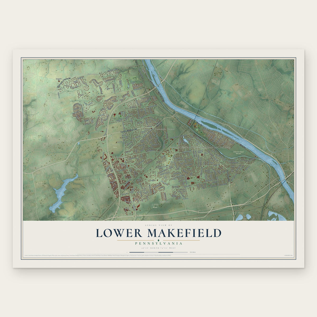
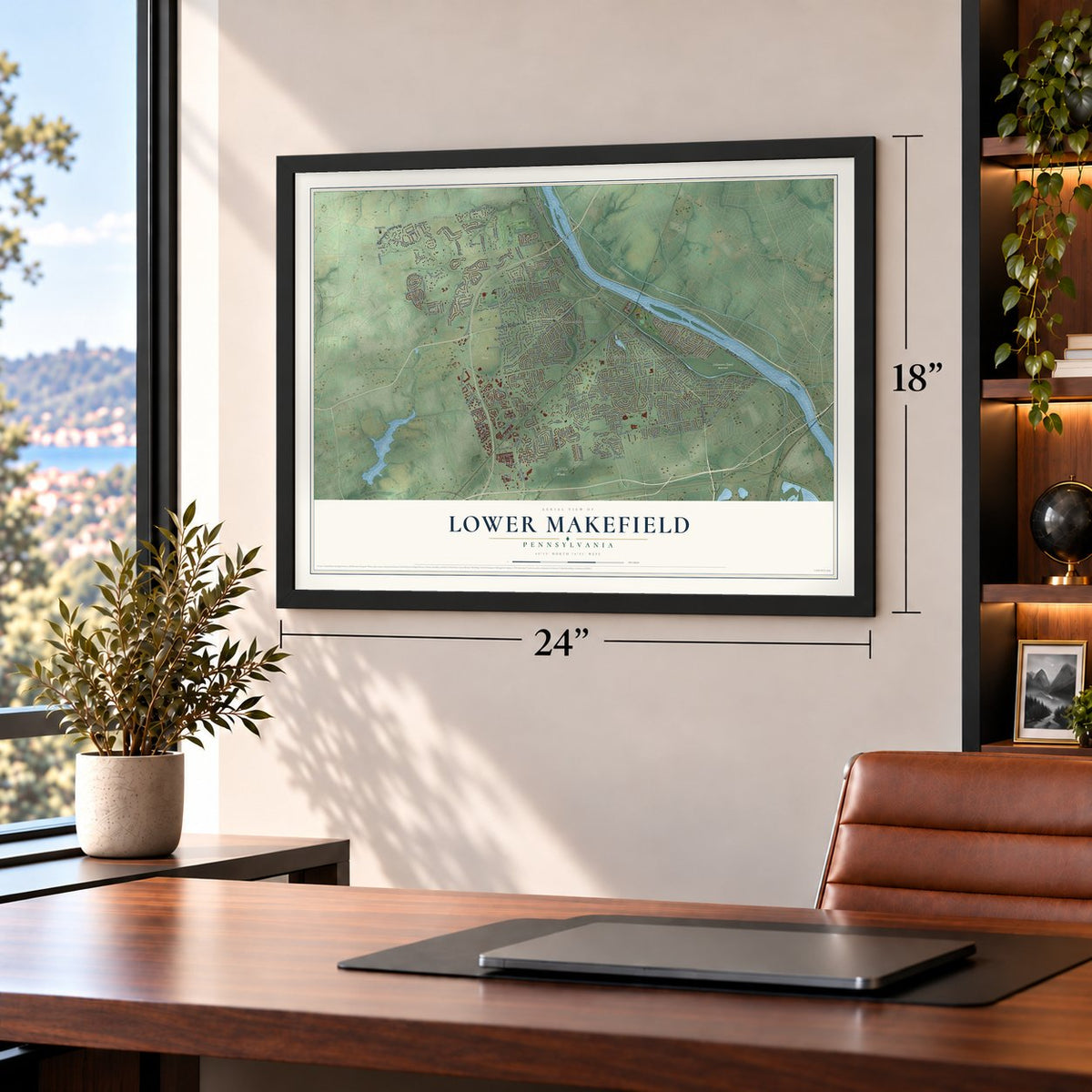
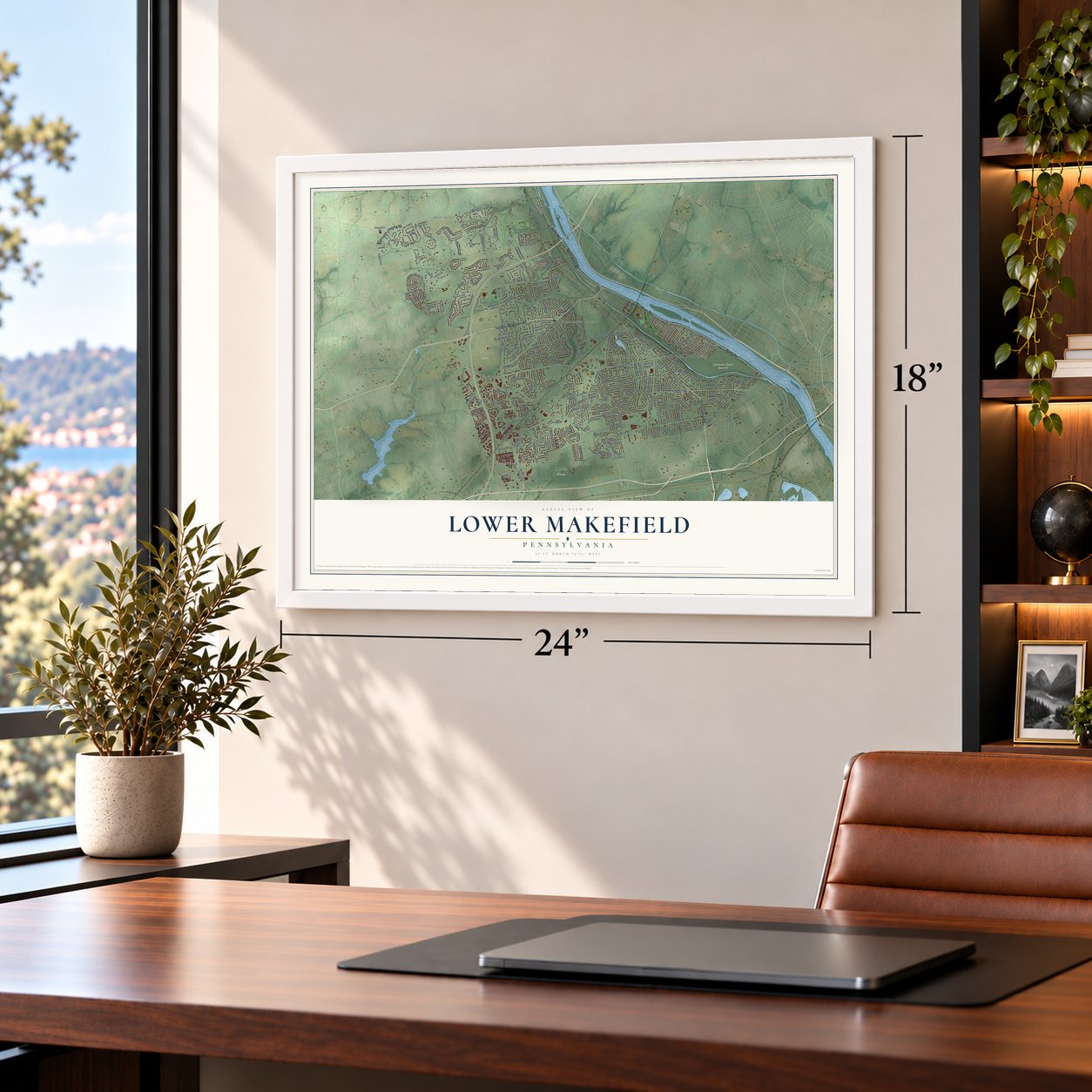
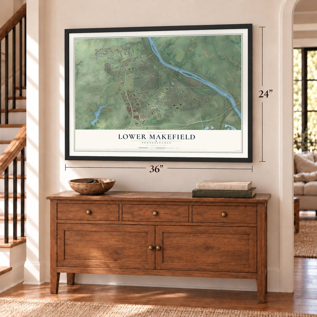
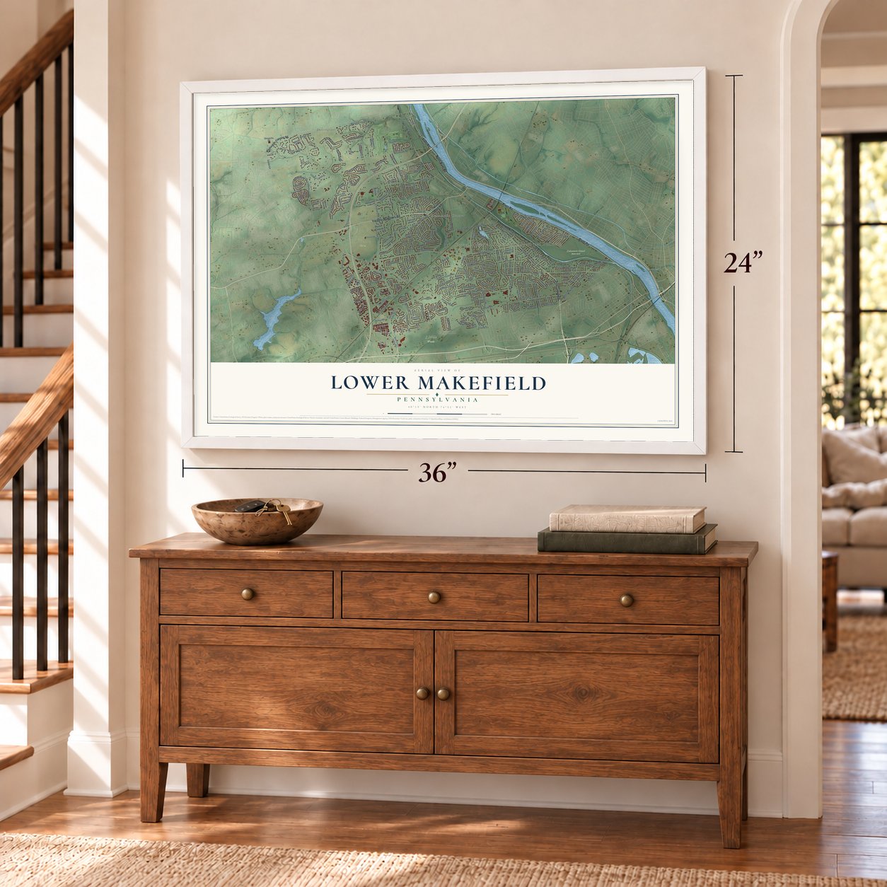
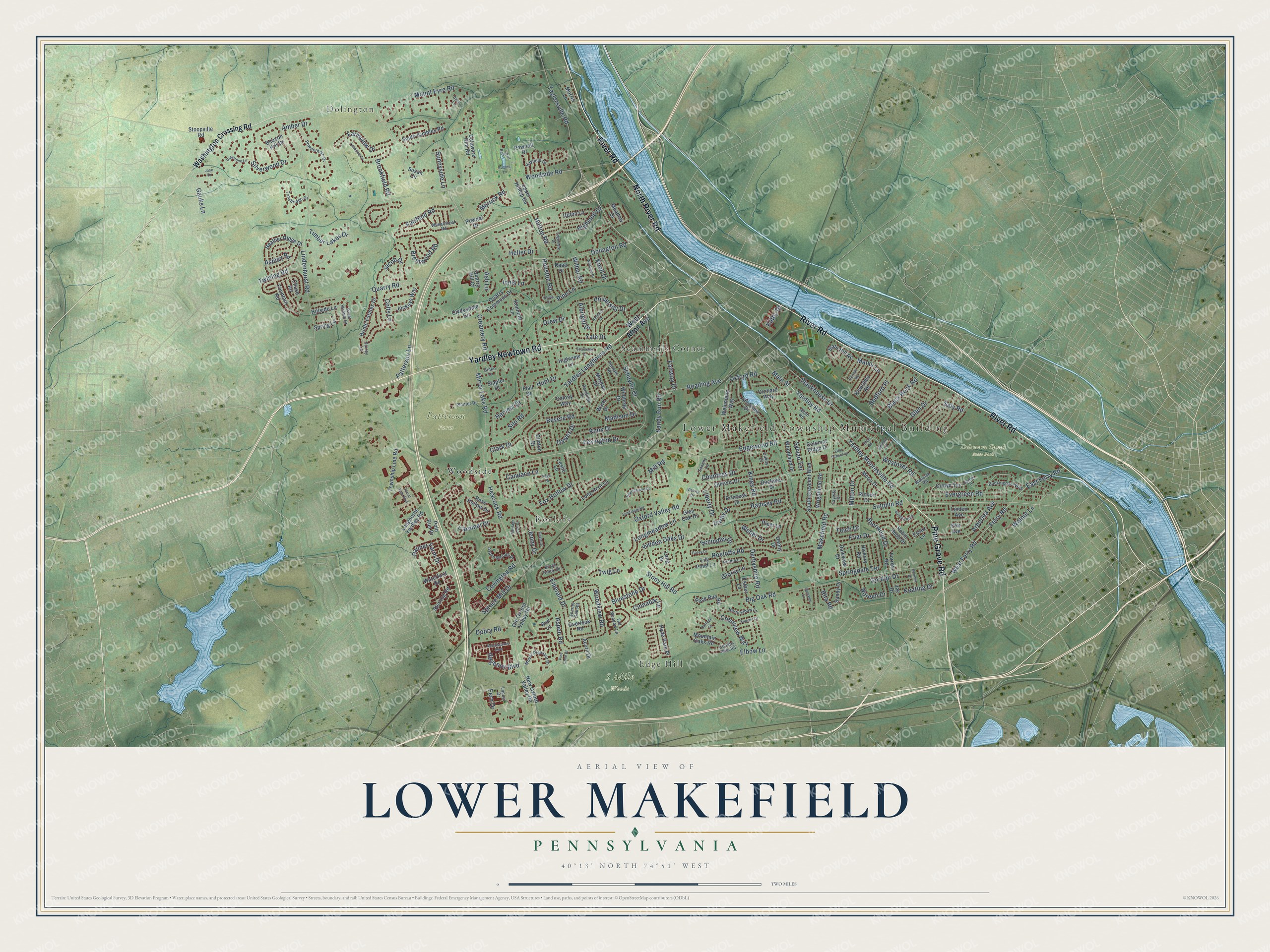
Lower Makefield, Pennsylvania Map Art
Building by building, with labeled streets and shaded relief.
12" x 18" Archival Matte Print
A Map of Home. A Work of Art.
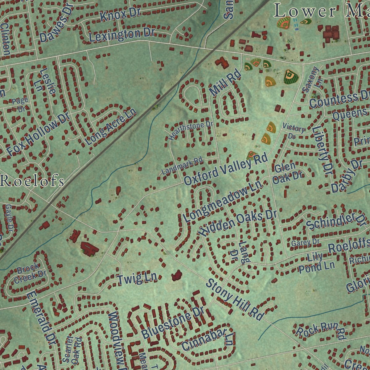
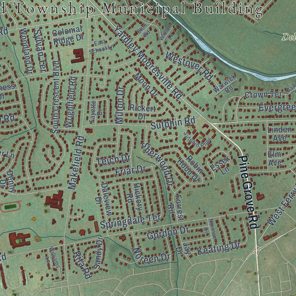
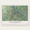
Explore Lower Makefield, Pennsylvania from a whole new perspective. Created using aerial imagery and detailed geographic data, this map captures Lower Makefield building by building, with labeled streets, familiar landmarks, and shaded topographical relief that highlights the natural contours of the landscape.
Combining modern data with the timeless character of a vintage atlas, this map is just as interesting up close as it is beautiful on the wall. Whether you grew up in Lower Makefield, spent memorable years there, or call it home today, this unique map is a great way to celebrate a place that means something to you. Zoom in on the preview to look for your street, and then order a print to put your memories on the wall.
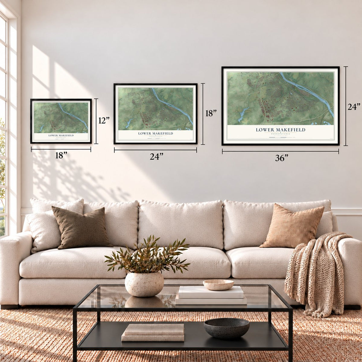
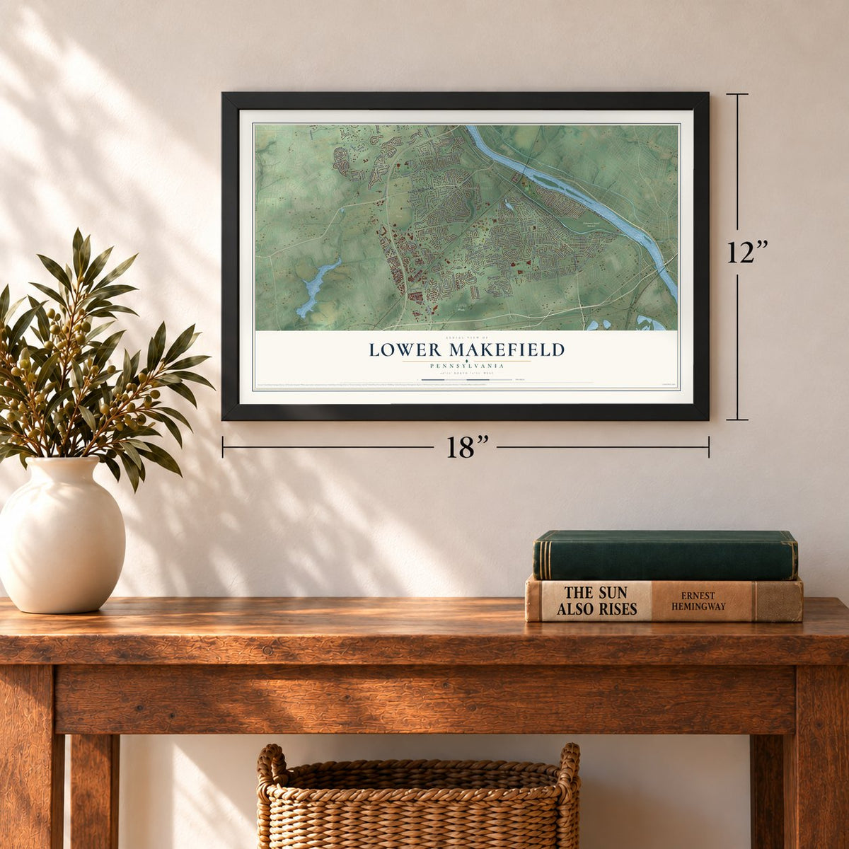
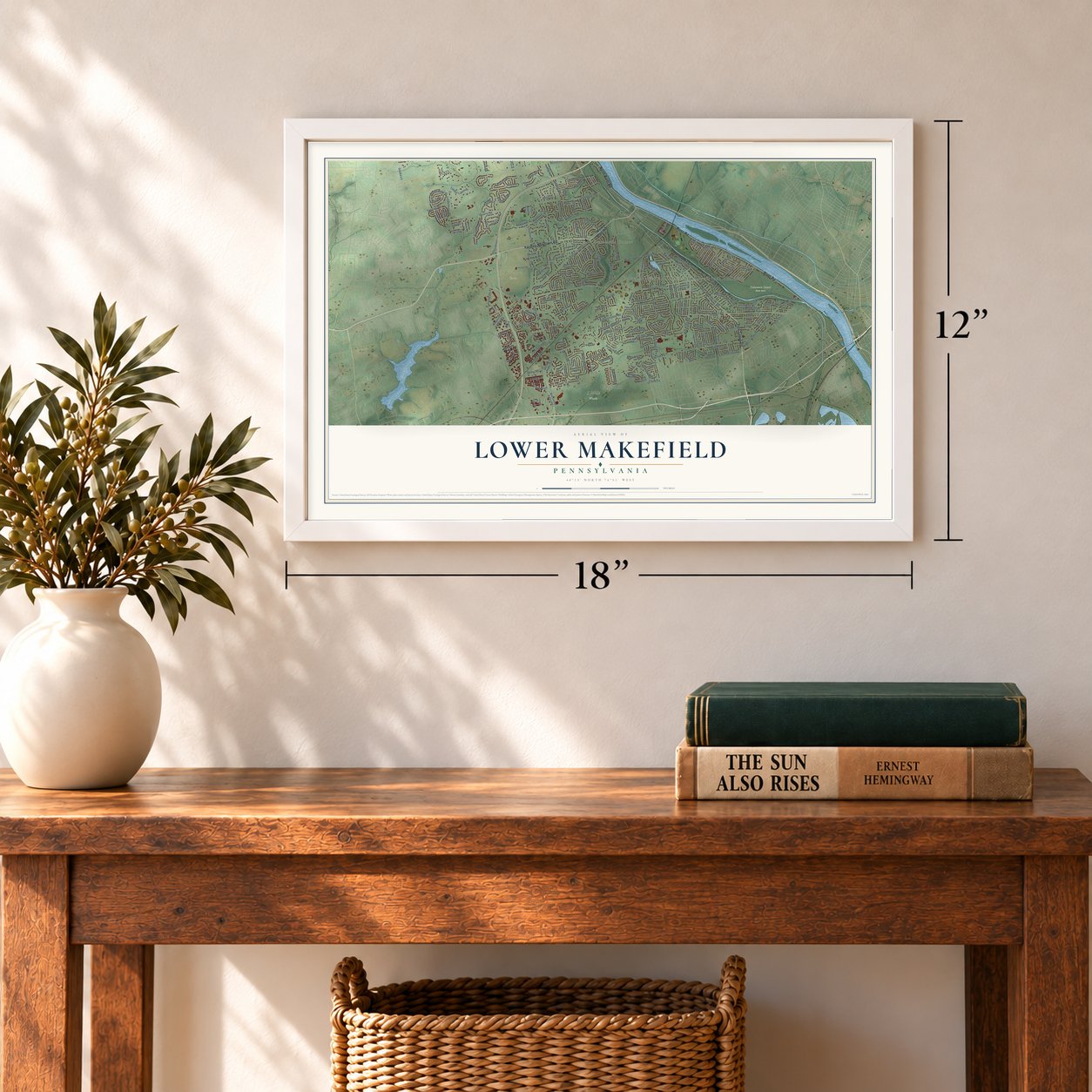
Three ways to hang it
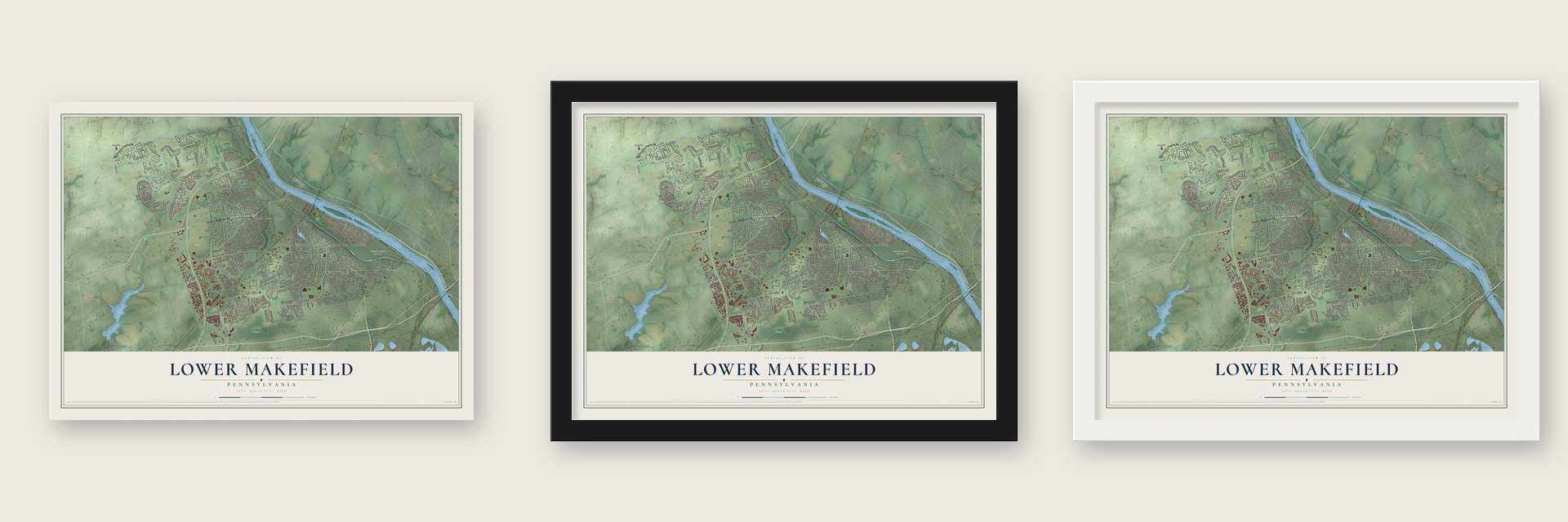
Unframed archival matte, a black wood frame or a white wood frame.
Up close
Geography Worth Displaying
This map was created using accurate cartographic data and authoritative geographic sources, including the U.S. Geological Survey and the Census Bureau. The map brings together terrain, waterways, roads, and building detail. The majority of the streets are labeled, houses are accurately depicted, and the topography is derived from government sources. Combining local data with carefully composed color and shading leads to this beautifully detailed Lower Makefield artwork for your wall.
Rather than simply showing street outlines, we’ve included as many of the street names as we could reasonably fit on the map while keeping their names legible. Zoom in on the high resolution preview to see exactly what’s on the map. We truly set out to create a statement piece for anyone who loves Lower Makefield. So whether it’s for you, or a gift for someone you love, we hope this map of Lower Makefield brings back fond memories.
Read the story behind this map of Lower Makefield, Pennsylvania from 2026.
Find your street
Names on the Lower Makefield map
Every name below is printed on this map. Look for your street, your school, the park where you played, or the pond down the road.
Places and landmarks9
- Lower Makefield Township Municipal Building
- 5 Mile Woods
- Delaware Canal State Park
- Patterson Farm
- Dolington
- Scammells Corner
- Roelofs
- Woodside
- Edge Hill
Streets and roads255
- River Road
- Yardley Newtown Road
- Pine Grove Road
- North River Road
- Yardley Road
- Taylorsville Road
- Yardley Mooresville Road
- Main Street
- East Ferry Road
- Edgewood Road
- Dolington Road
- Yardley Langhorne Road
- Emerald Drive
- Palmer Farm Drive
- Big Oak Road
- Stony Hill Road
- Oxford Valley Road
- Woodside Road
- Lindenhurst Road
- Makefield Road
- Quarry Road
- Roeloffs Road
- Mount Eyre Road
- Covington Road
- Revere Road
- Ramsey Road
- Heacock Road
- Sandy Run Road
- University Drive
- Silverwood Drive
Show all 255 streets
- Brookfield Road
- Countess Drive
- Schuyler Drive
- Bluestone Drive
- Woodview Road
- Mirror Lake Road
- Heller Drive
- Silo Road
- Ferry Road
- West Ferry Road
- Black Rock Road
- Fairfield Road
- Cardinal Drive
- Cinnabar Lane
- Spruce Mill Drive
- Stackhouse Drive
- Colts Lane
- Farmview Drive
- Fox Hollow Drive
- Westover Road
- Kings Road
- Brentwood Road
- Reading Avenue
- Sutphin Road
- Hunt Drive
- Friar Drive
- Arborlea Avenue
- Patterson Lane
- Knox Drive
- Springdale Terrace
- Weber Drive
- Merrick Road
- Evergreen Road
- Creamery Road
- Jacob Drive
- Highland Drive
- Mill Road
- Hidden Oaks Drive
- Crestview Way
- Aspen Road
- Houston Road
- Glen Drive
- Madison Drive
- Elbow Lane
- Saly Road
- Pine Lane
- Twig Lane
- Timber Lakes Drive
- Twining Road
- Keating Drive
- Lexington Drive
- Bedford Place
- Sherwood Drive
- Fairway Drive
- Longmeadow Lane
- Candace Lane
- Gordon Drive
- Hilltop Road
- Clark Drive
- Drew Drive
- Sunnyside Lane
- Derbyshire Road
- Dobry Road
- Schindler Drive
- Regency Boulevard
- Fern Drive
- Oxford Road
- Ash Lane
- Yale Drive
- Noreen Drive
- Milton Drive
- Walnut Lane
- Gauks Lane
- Dawes Drive
- Harvest Drive
- Darby Drive
- Gloria Lane
- Liberty Drive
- Jenny Drive
- Knoll Drive
- Albright Drive
- Sylvan Terrace
- Ashley Road
- Innis Lane
- Wilbur Road
- Manor Lane
- Amber Drive
- Kathy Drive
- Rita Road
- Teich Drive
- West Afton Avenue
- Washington Crossing Road
- Old Oxford Valley Road
- South Crescent Boulevard
- New Oxford Valley Road
- Leslie Lane
- Bridle Estates Drive
- Clydesdale Circle
- Long Acre Lane
- Polo Run Drive
- Rose Hollow Drive
- Queens Drive
- Heather Ridge Drive
- Sterling Road
- Quarry Commons Drive
- Princess Drive
- Crown Terrace
- Fountain Road
- Moon Drive
- Delaware Rim Road
- Waterford Road
- Stapler Drive
- South Kimbles Road
- Slate Hill Road
- Township Line Road
- Linden Avenue
- Stoopville Road
- Lakeview Drive
- Elm Avenue
- Daleview Drive
- Pownal Drive
- Langhorne Yardley Road
- Robin Hood Drive
- Jockeys Way
- Hyde Park Place
- Weinmann Way
- Mountain Oaks Road
- Piper Lane
- Clinton Drive
- Wrightfield Road
- Spring Lane
- Orchard Way
- Lang Drive
- Lily Pond Lane
- Pownall Drive
- Upton Lane
- Rickert Drive
- Riverdale Road
- Kenneth Lane
- Esther Lane
- Upper Hilltop Road
- Woodland Drive
- Rock Run Road
- Forrest Road
- Winthrop Drive
- Duchess Drive
- Ward Drive
- Highview Lane
- Sandy Drive
- Beacon Hill Drive
- Chase Road
- Meadow Drive
- Hillside Lane
- Overlook Road
- Morgan Drive
- Hickory Road
- Raab Drive
- Colonial Ridge Drive
- Glen Oak Drive
- Acorn Drive
- Bud Lane
- Susan Circle
- Jay Drive
- Colony Way
- Morris Lane
- Essex Lane
- Quarry Hill Court
- Denny Drive
- Flail Drive
- Mount Pleasant Drive
- Randolph Drive
- Powderhorn Drive
- Tall Meadow Lane
- Scarlet Oak Road
- North Elbow Lane
- Planter Drive
- Aspen Woods Drive
- Brock Creek Drive
- Buckingham Way
- Wheatsheaf Road
- Trowbridge Drive
- Hayfield Drive
- Silver Stream Drive
- Richie Lane
- Locust Drive
- Dukes Drive
- Country Hills Road
- Saxony Lane
- Putnam Road
- Ginko Lane
- Warwick Road
- Alton Road
- Fayette Drive
- Surrey Lane
- Floral Vale Boulevard
- Heritage Oak Drive
- Leedoms Drive
- Renaissance Boulevard
- Garey Drive
- Hearthstone Drive
- Victory Drive
- Harvard Drive
- Page Drive
- Landmark Road
- Scammell Drive
- Olivia Drive
- Graystone Lane
- Sutphin Pnes
- Wilshire Drive
- Williams Lane
- East School Lane
- Eton Road
- Gayle Drive
- Summit Drive
- Dyers Lane
- Vernon Lane
- Delvale Road
- Barlett Court
- Edgemere Drive
- Daffodil Drive
- Norman Drive
- Jase Drive
- Pine Cone Drive
- Garber Drive
- Burges Lane
Names are listed as they appear on the printed map. Zoom into the product photos to find them.
About Lower Makefield, Pennsylvania
From the LivingPlaces: "The Reading Railroad came to Lower Makefield in 1876 with stops at Stony Hill for Edgewood and Reading Road for Yardleyville. Mark Palmer built a boarding house just north of the Edgewood stop for summer visitors who wished to enjoy the country air."
Keep exploring Pennsylvania
Lower Makefield is one of 3,725 Pennsylvania towns we've mapped. Every dot on the map is a print of its own.
The search covers every state, Pennsylvania first.
Near Lower Makefield
Order 2 or more town maps and save 10%. Shown in the size and finish you picked above, so they hang as a set.
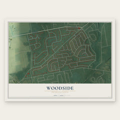
- Woodside 12" x 18" / Archival Matte Print $39.99
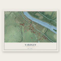
- Yardley 12" x 18" / Archival Matte Print $39.99
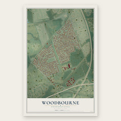
- Woodbourne 12" x 18" / Archival Matte Print $39.99
More maps nearby: Fairless Hills, Fallsington, Newtown Borough, Morrisville and Newtown Township.
The art of mapping a place
How This Map Was Made
Real places. Remarkable detail. Discover the layers that turn geographic data into a map of home.

The view from above
Aerial imagery reveals the character of the land: woodland, open fields, and the patterns of a place.

The shape of the land
Elevation data brings hills, valleys, and subtle changes in the landscape into view.

The details of home
Roads, waterways, and building footprints come together to make the map feel unmistakably local.

Geography becomes art
Considered color, shading, and typography bring the layers together in a map made for your wall.


Process illustrated with Mendon, Massachusetts. Aerial imagery: USDA NAIP. Terrain: USGS 3D Elevation Program. Map details and finished artwork: KNOWOL.
The Details
About This Print
Choose an archival matte print, or a black or white Ayous wood frame. The archival matte print is unframed.
Select your size and finish above to see the matching product image and price.
Materials & Craftsmanship
A contemporary map with the character of a classic atlas, printed on archival matte paper. Optional frames are made from Ayous wood.
Your printed map does not include the watermark shown in the full-map preview.
Shipping & Delivery
Free shipping within the United States. Every print is made to order in the USA.
Buying a gift? Add a note in your cart and we'll include it. We never put prices in the package.
Prints ship within 2 to 3 business days. Allow 7 to 10 days total from ordering for delivery. Timing may vary during holidays or periods of high order volume.
Read our shipping policy.
Returns and damaged prints
Each print is made to order. Change-of-mind refunds are not available after production.
If your print arrives damaged, misprinted or incorrect, contact support@knowol.com within 30 days of receiving it. Include your order number, photos and a description of the issue.
Read our full refund and replacement policy. For questions about your order, email support@knowol.com.