
Search for another town
Free U.S. delivery 7 to 10 days after you order
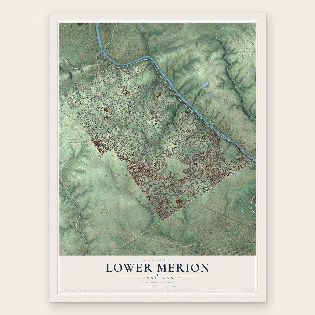
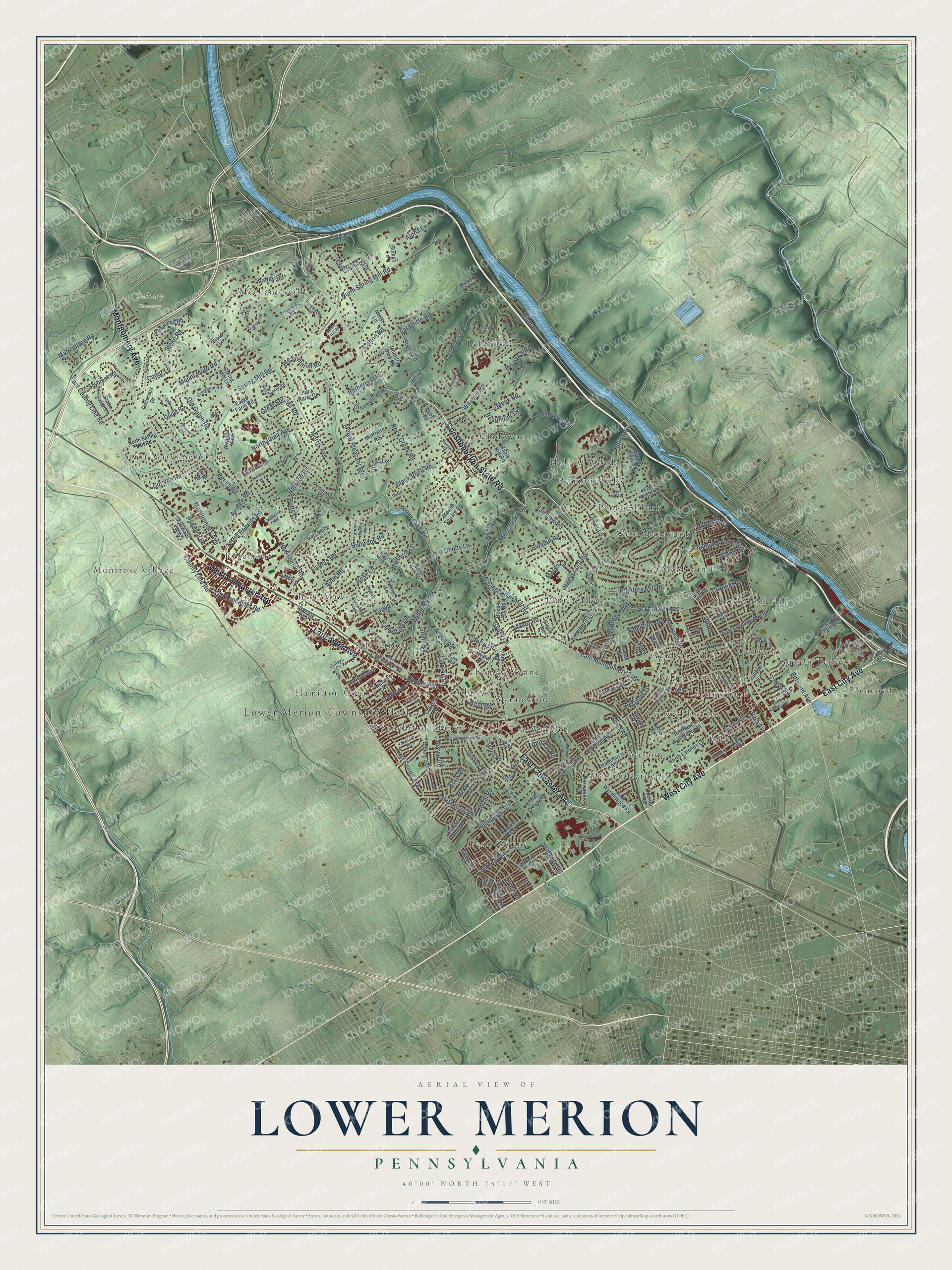
Lower Merion, Pennsylvania Map Art
Building by building, with labeled streets and shaded relief.
12" x 18" Archival Matte Print
A Map of Home. A Work of Art.
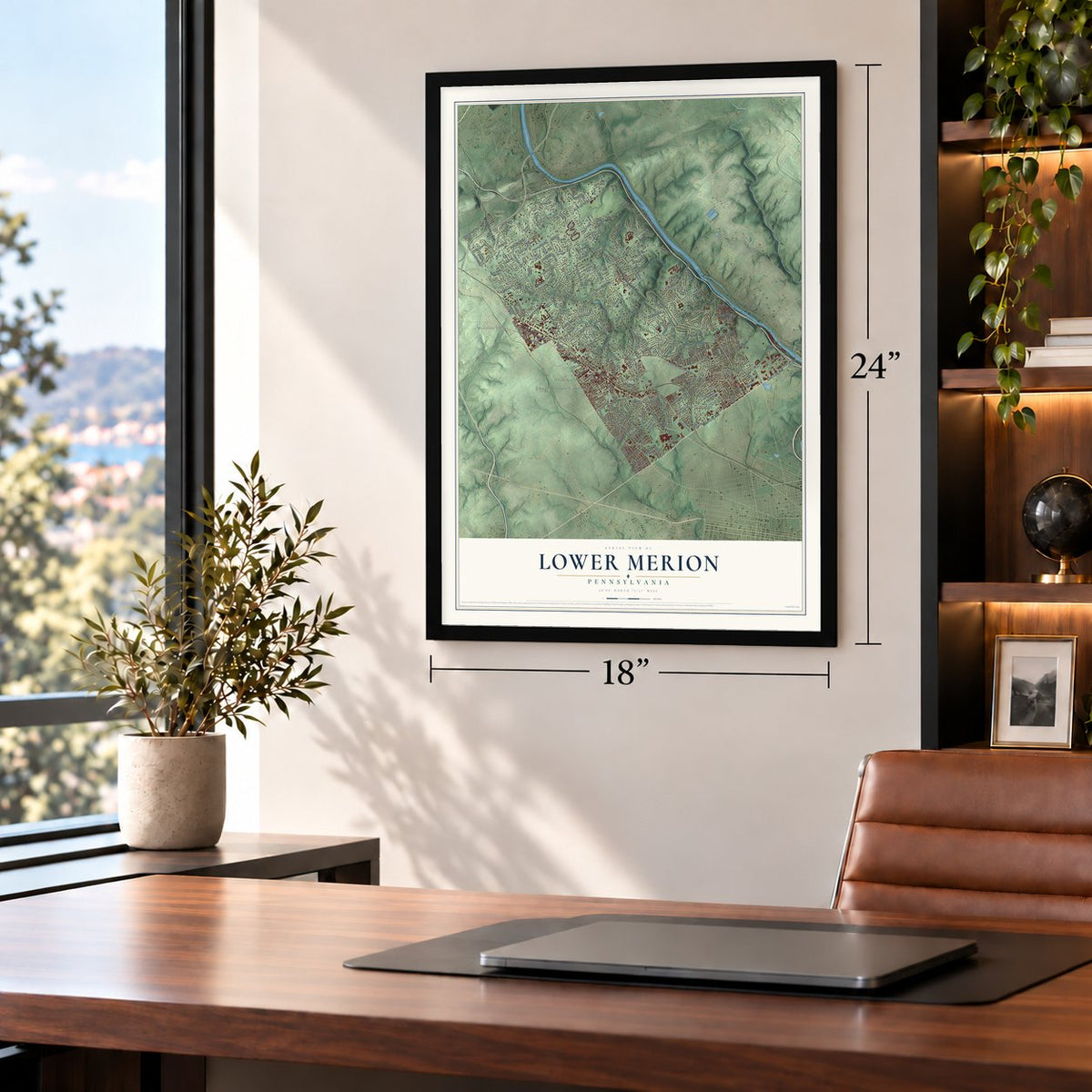
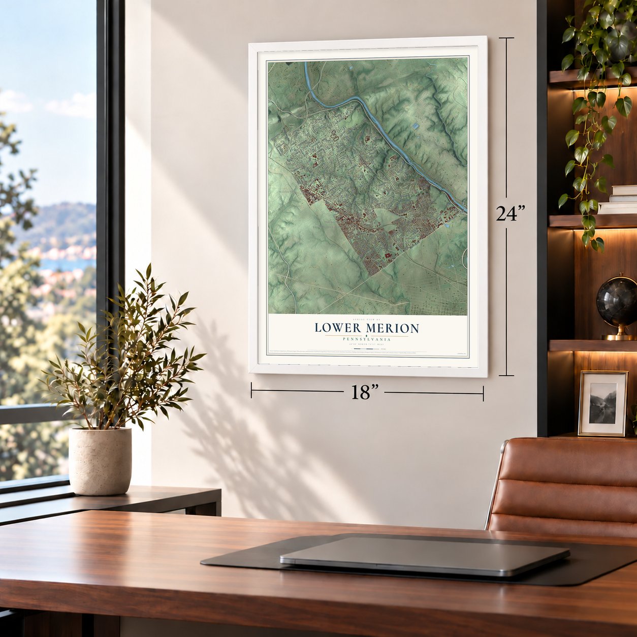
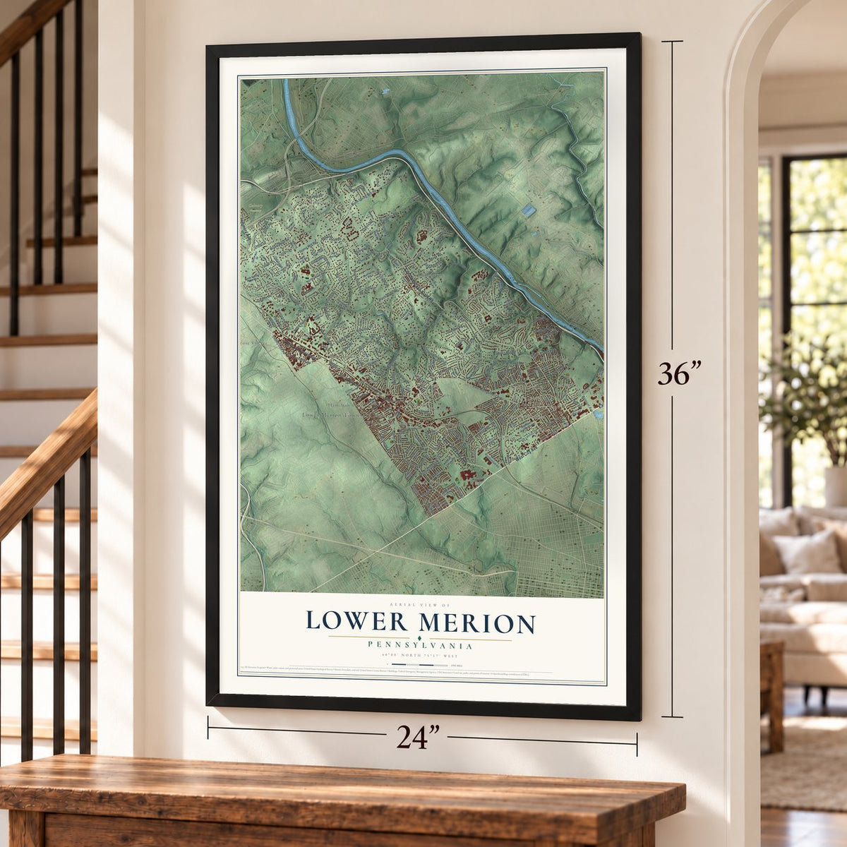
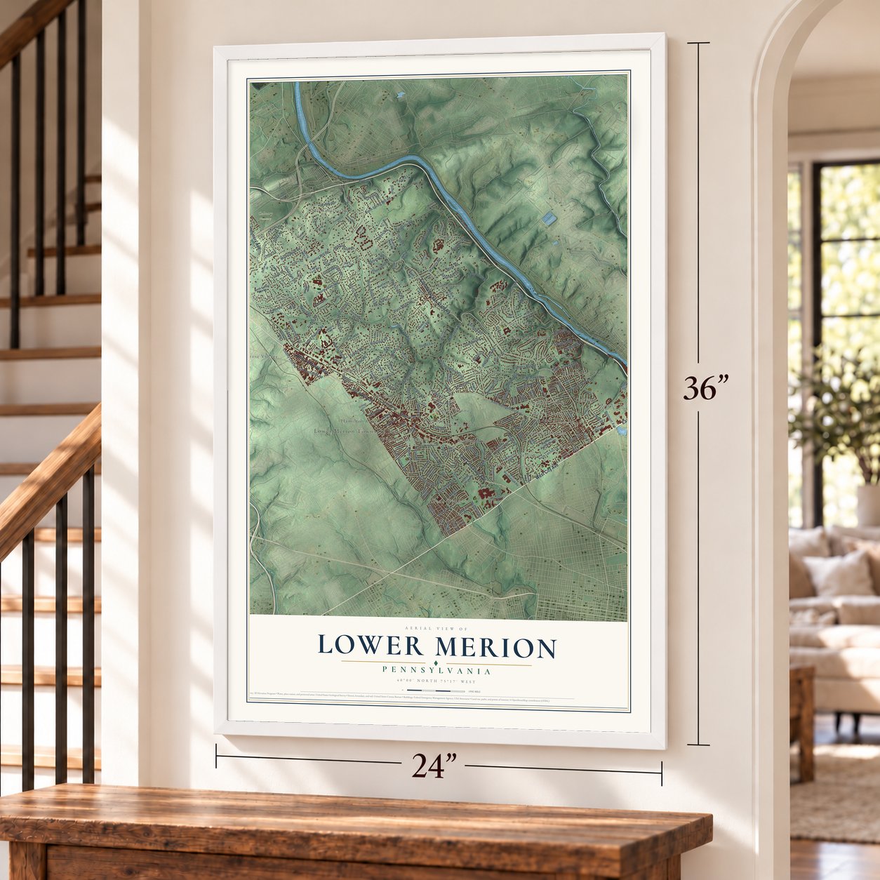
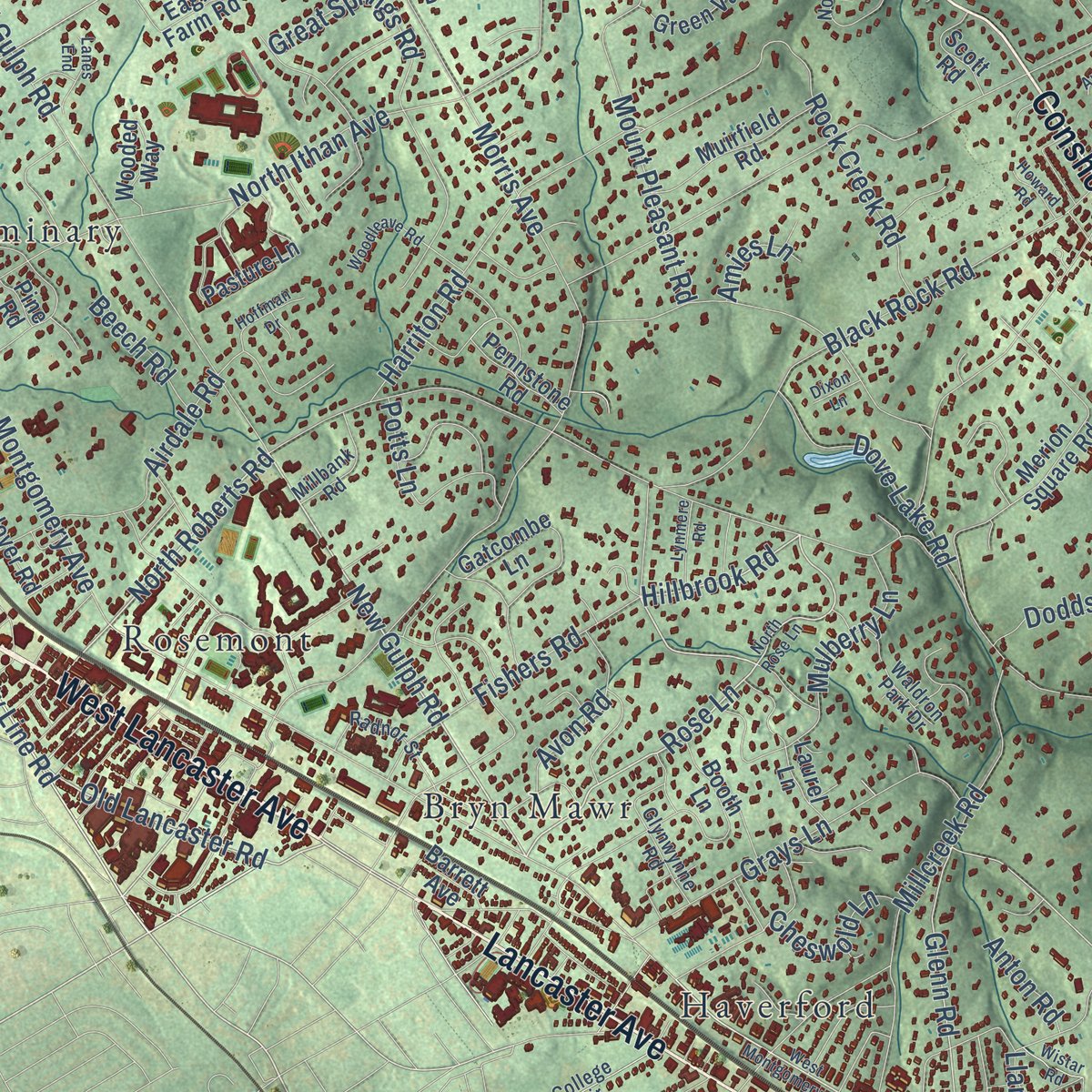
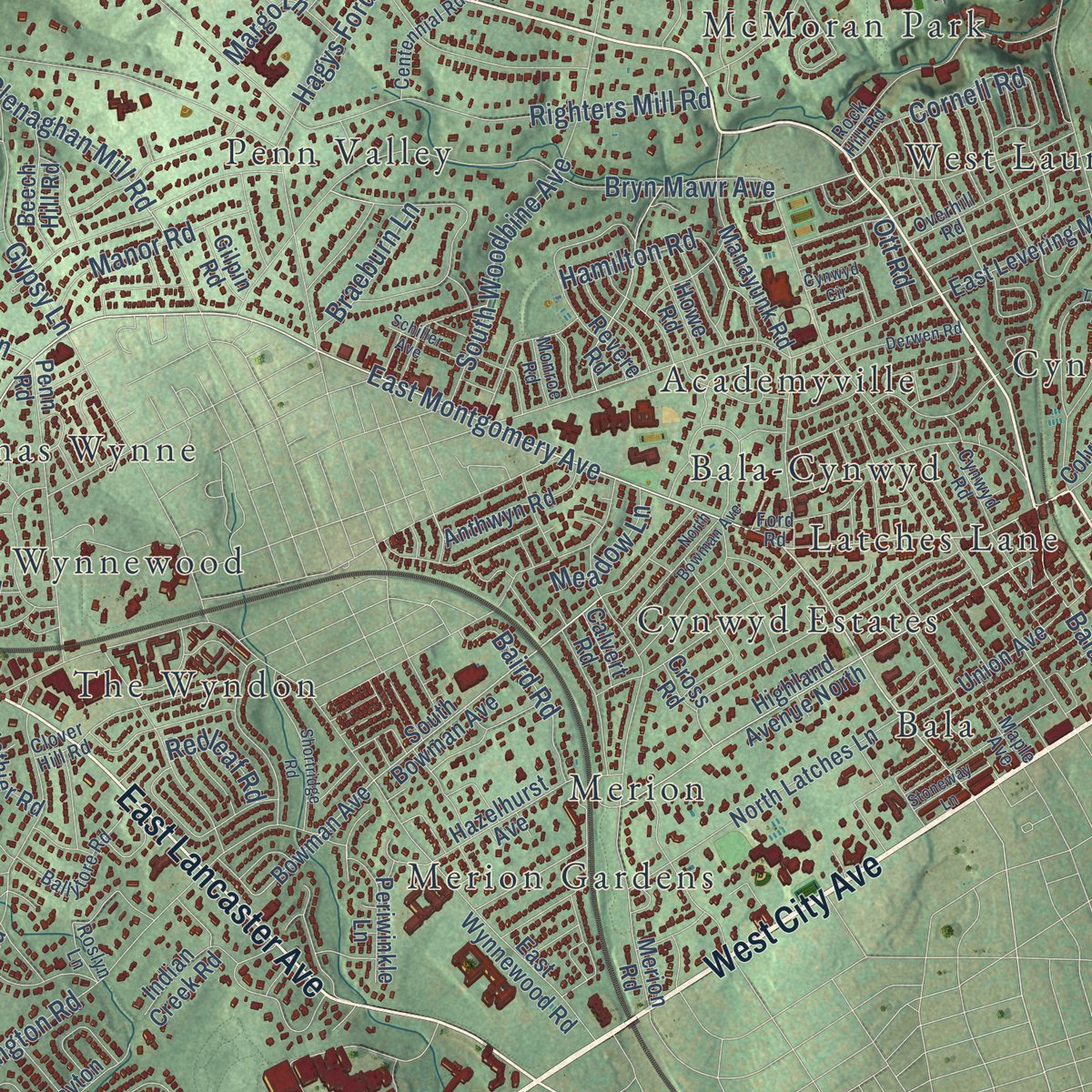
Explore Lower Merion, Pennsylvania from a whole new perspective. Created using aerial imagery and detailed geographic data, this map captures Lower Merion building by building, with labeled streets, familiar landmarks, and shaded topographical relief that highlights the natural contours of the landscape.
Combining modern data with the timeless character of a vintage atlas, this map is just as interesting up close as it is beautiful on the wall. Whether you grew up in Lower Merion, spent memorable years there, or call it home today, this unique map is a great way to celebrate a place that means something to you. Zoom in on the preview to look for your street, and then order a print to put your memories on the wall.
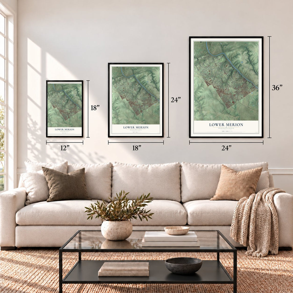
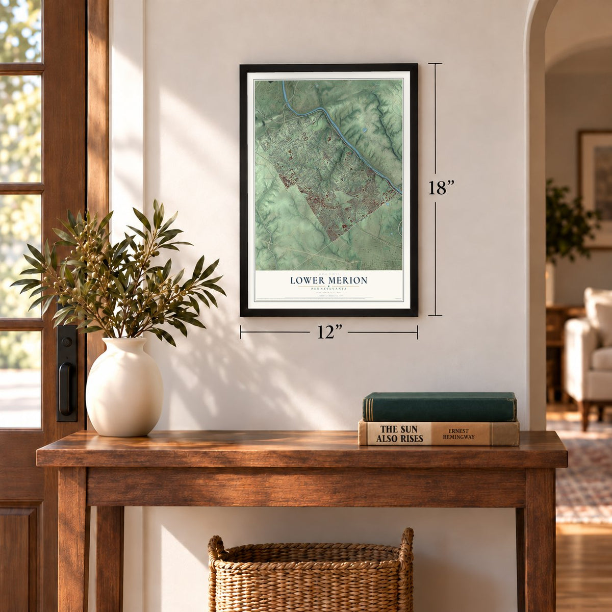
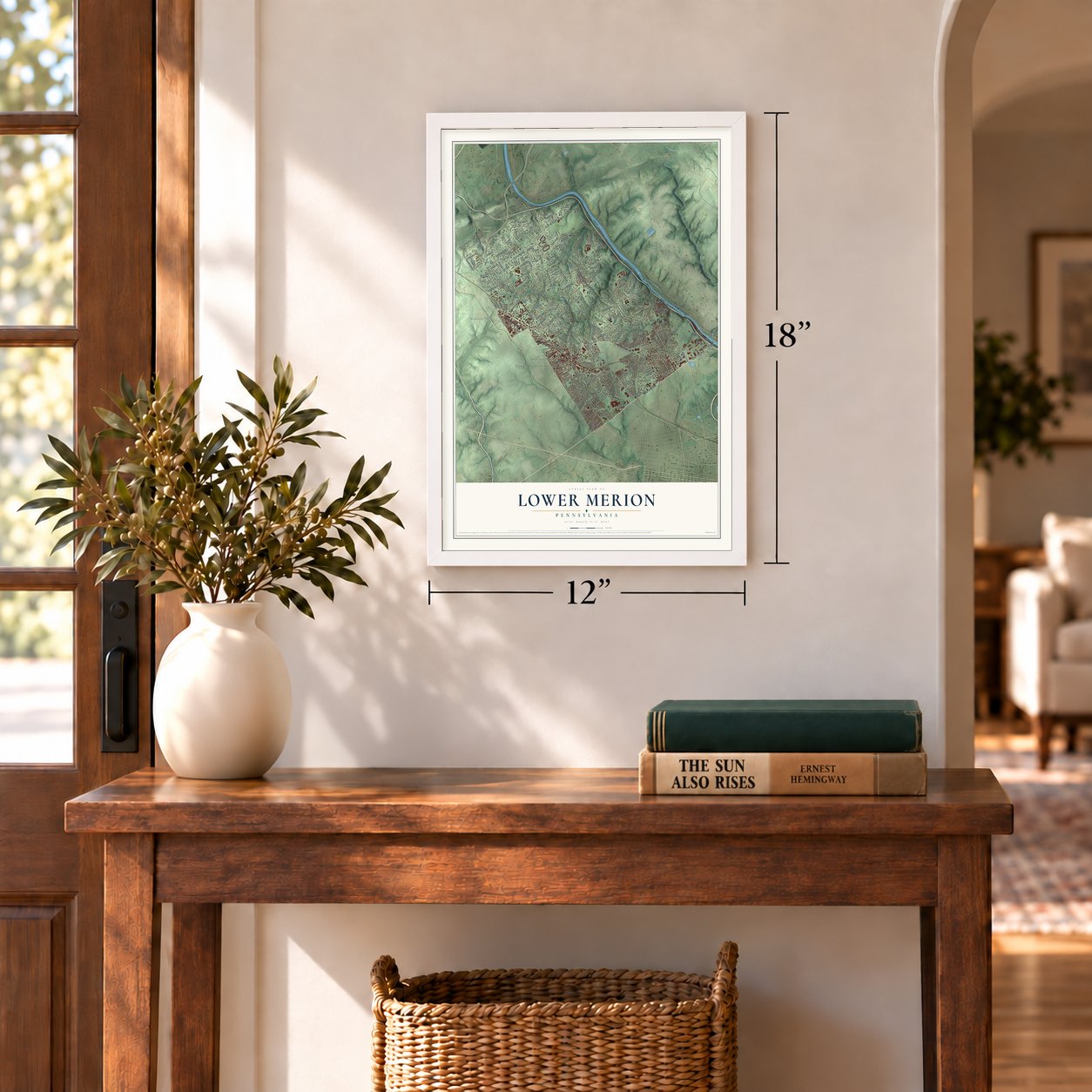
Three ways to hang it
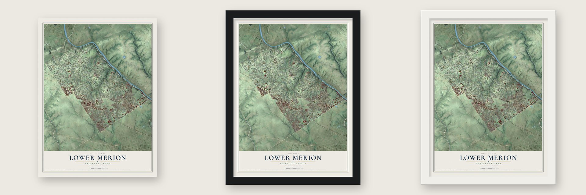
Unframed archival matte, a black wood frame or a white wood frame.
Up close
Geography Worth Displaying
This map was created using accurate cartographic data and authoritative geographic sources, including the U.S. Geological Survey and the Census Bureau. The map brings together terrain, waterways, roads, and building detail. The majority of the streets are labeled, houses are accurately depicted, and the topography is derived from government sources. Combining local data with carefully composed color and shading leads to this beautifully detailed Lower Merion artwork for your wall.
Rather than simply showing street outlines, we’ve included as many of the street names as we could reasonably fit on the map while keeping their names legible. Zoom in on the high resolution preview to see exactly what’s on the map. We truly set out to create a statement piece for anyone who loves Lower Merion. So whether it’s for you, or a gift for someone you love, we hope this map of Lower Merion brings back fond memories.
Read the story behind this map of Lower Merion, Pennsylvania from 2026.
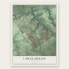
Find your street
Names on the Lower Merion map
Every name below is printed on this map. Look for your street, your school, the park where you played, or the pond down the road.
Places and landmarks34
- Lower Merion Township Hall
- Calvary Cemetery
- West Manayunk
- Bala
- Saint Marys Seminary
- Gladwyne
- Penn Wynne
- Merion Gardens
- Penn Valley
- Pencoyd
- Montrose Village
- Mechanicsville
Show all 34 places
- Bryn Mawr
- Thomas Wynne
- Hollow Woods
- Academyville
- West Laurel Hill
- Merion
- Cynwyd
- Lafayette
- The Wyndon
- Haverford
- Cynwyd Estates
- McMoran Park
- Rosemont
- Bala-Cynwyd
- Hamilton Court
- Wynnewood
- Latches Lane
- Pencoyd Park
- Belmont Hills
- Sutton Terrace
- Wynnebrook Manor
- Ardmore
Streets and roads227
- Conshohocken State Road
- West City Avenue
- East Lancaster Avenue
- East City Avenue
- West Lancaster Avenue
- Montgomery Avenue
- Lancaster Avenue
- East County Line Road
- Old Lancaster Road
- Rose Lane
- New Gulph Road
- County Line Road
- North Roberts Road
- Hillbrook Road
- East Montgomery Avenue
- Haverford Road
- Glenn Road
- Cherry Lane
- Old Gulph Road
- North Spring Mill Road
- Spring Mill Road
- Lafayette Road
- Morris Avenue
- Mount Pleasant Road
- Righters Mill Road
- Bryn Mawr Avenue
- Waverly Road
- Youngsford Road
- Mill Creek Road
- River Road
Show all 227 streets
- Belmont Avenue
- Stony Lane
- North Ithan Avenue
- Matsonford Road
- Hagys Ford Road
- Fairview Road
- Great Springs Road
- Remington Road
- Valley Road
- Black Rock Road
- Bala Avenue
- Rock Creek Road
- Millcreek Road
- Monk Road
- Rose Glen Road
- Hollow Road
- Sussex Road
- Fishers Road
- East Spring Avenue
- Argyle Road
- Grays Lane
- Avon Road
- Harriton Road
- Airdale Road
- Club House Road
- Morris Road
- McClenaghan Mill Road
- Llanfair Road
- Knox Road
- Mount Moro Road
- Trent Road
- Tower Lane
- Kent Road
- Manoa Road
- Wiltshire Road
- Hamilton Road
- Stoke Road
- Roscommon Road
- Cheswold Lane
- South Woodbine Avenue
- Briar Hill Road
- Clwyd Road
- Ashland Avenue
- Gypsy Lane
- Dove Lake Road
- Cornell Road
- Colton Road
- Cedar Lane
- Manor Road
- Summit Road
- Baird Road
- Jefferson Street
- Beaumont Drive
- Mulberry Lane
- Dodds Lane
- Curwen Road
- Barberry Road
- Braeburn Lane
- Coulter Avenue
- Meadow Lane
- Beech Road
- Margo Lane
- School Street
- Aloha Lane
- Redleaf Road
- Anton Road
- Potts Lane
- Amies Lane
- Ott Road
- Cricket Avenue
- Bowman Avenue
- South Bowman Avenue
- East Wynnewood Road
- Merion Road
- Righters Ferry Road
- Highland Avenue North
- Flat Rock Road
- Booth Lane
- Merion Square Road
- Indian Creek Road
- North Latches Lane
- Penn Road
- Hidden River Road
- Union Avenue
- Wister Road
- Revere Road
- Overbrook Parkway
- Manayunk Road
- Presidential Boulevard
- Drayton Lane
- Maple Hill Road
- Orchard Way
- East Levering Mill Road
- Church Road
- Laurel Lane
- Pennstone Road
- Wendover Road
- Stone Ridge Lane
- Pasture Lane
- Crosshill Road
- Ardmore Avenue
- Muirfield Road
- Panarama Road
- Green Valley Road
- Clothier Road
- Colwyn Lane
- Medford Road
- John Barry Drive
- Saybrook Road
- Hazelhurst Avenue
- Anthwyn Road
- Holland Avenue
- Country Club Road
- Eagle Farm Road
- Beech Hill Road
- Periwinkle Lane
- Powder Mill Lane
- Andover Road
- Spring Mill Lane
- Athens Avenue
- Gatcombe Lane
- Devereux Drive
- Scott Road
- Oriole Road
- Howe Road
- Wooded Way
- Barrett Avenue
- Ginkgo Lane
- Cross Road
- Gilpin Road
- Lark Lane
- Calvert Road
- North Lane
- Field Lane
- Henry Lane
- Pine Road
- Ford Street
- Centennial Road
- Woodmont Road
- Saint Asaphs Road
- Ballytore Road
- Maple Avenue
- Cynwyd Road
- Rock Hill Road
- Clover Hill Road
- Arrowmink Road
- Overhill Road
- Crosby Brown Road
- Ridgewood Road
- Norsam Road
- Glynwynne Road
- Creighton Road
- Radnor Street
- Pinewood Road
- Red Rose Lane
- Millbank Road
- Waldron Park Drive
- College Circle
- Sutton Road
- Fenimore Lane
- Fariston Drive
- Martins Lane
- Wesleys Run
- Monroe Road
- Roslyn Lane
- Cliff Road
- Ford Road
- West Montgomery Avenue
- North Rose Lane
- North Bowman Avenue
- West Wynnewood Road
- Derwen Road
- Woodleave Road
- Simpson Road
- Spruce Lane
- Hollingsworth Road
- Schiller Avenue
- Trevor Lane
- Brynllawn Road
- Shortridge Road
- Round Hill Road
- Surrey Lane
- Riverview Road
- Soapstone Road
- Fawn Hill Lane
- Cynwyd Circle
- Hoffman Drive
- Oakwood Drive
- Lynmere Road
- Stoneway Lane
- Lanes End
- Kyneton Road
- Sentry Lane
- Howard Road
- Wistar Road
- Arwyn Lane
- Dixon Lane
Names are listed as they appear on the printed map. Zoom into the product photos to find them.
About Lower Merion, Pennsylvania
Lower Merion is a township of 63,633 people in Montgomery County, on the Schuylkill River just west of Philadelphia. Welsh Quakers began settling here in 1682 on the Welsh Tract, land that William Penn granted them. They named it for Merioneth, a county in north Wales. In 1713 Lower Merion became a township of its own, with about 52 landholders and tenants, and in 1900 it became a First Class township.
The Pennsylvania Railroad's Main Line ran through the township, and its stations grew into the suburbs that still carry the railroad's name. After World War II the old farms gave way to houses, and Lower Merion changed from a farming township into a suburb.
- Pencoyd means tree-topsThe Roberts family started a homestead on land from William Penn in 1683 and gave it a Welsh name that means tree-tops. In 1852 Algernon and Percival Roberts began an iron works there, across the Schuylkill from Manayunk. They meant to make heavy hardware but forged only a few anvils. Seeing the railroads spread, they switched to axles for railroad cars and locomotives.
- Iron bridges from 1859In 1859 the Roberts brothers began building iron bridges at Pencoyd, and the 1884 county history says no other firm made them then. That same year they built the Lehigh Valley Railroad an iron span over the Delaware at Easton.
- Worship since 1695Quakers have met at the Merion Friends Meeting House without a break since 1695. No other place of worship in the United States has been used for so long without stopping.
- Street signs saved in 2012In 2012 a federal rule change would have forced the township to replace its old street signs, some of them put up in the early 1910s. Residents and Senator Pat Toomey pushed back. The Board of Commissioners then passed an ordinance making all of Lower Merion a historic district, and Secretary of Transportation Ray LaHood granted a waiver, so the signs stayed.
Keep exploring Pennsylvania
Lower Merion is one of 3,725 Pennsylvania towns we've mapped. Every dot on the map is a print of its own.
The search covers every state, Pennsylvania first.
Near Lower Merion
Order 2 or more town maps and save 10%. Shown in the size and finish you picked above, so they hang as a set.
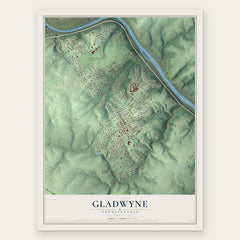
- Gladwyne 12" x 18" / Archival Matte Print $39.99
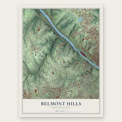
- Belmont Hills 12" x 18" / Archival Matte Print $39.99
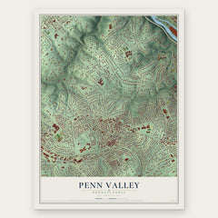
- Penn Valley 12" x 18" / Archival Matte Print $39.99
More maps nearby: Narberth, Ardmore, Bryn Mawr, Haverford College and Wynnewood.
The art of mapping a place
How This Map Was Made
Real places. Remarkable detail. Discover the layers that turn geographic data into a map of home.

The view from above
Aerial imagery reveals the character of the land: woodland, open fields, and the patterns of a place.

The shape of the land
Elevation data brings hills, valleys, and subtle changes in the landscape into view.

The details of home
Roads, waterways, and building footprints come together to make the map feel unmistakably local.

Geography becomes art
Considered color, shading, and typography bring the layers together in a map made for your wall.


Process illustrated with Mendon, Massachusetts. Aerial imagery: USDA NAIP. Terrain: USGS 3D Elevation Program. Map details and finished artwork: KNOWOL.
The Details
About This Print
Choose an archival matte print, or a black or white Ayous wood frame. The archival matte print is unframed.
Select your size and finish above to see the matching product image and price.
Materials & Craftsmanship
A contemporary map with the character of a classic atlas, printed on archival matte paper. Optional frames are made from Ayous wood.
Your printed map does not include the watermark shown in the full-map preview.
Shipping & Delivery
Free shipping within the United States. Every print is made to order in the USA.
Buying a gift? Add a note in your cart and we'll include it. We never put prices in the package.
Prints ship within 2 to 3 business days. Allow 7 to 10 days total from ordering for delivery. Timing may vary during holidays or periods of high order volume.
Read our shipping policy.
Returns and damaged prints
Each print is made to order. Change-of-mind refunds are not available after production.
If your print arrives damaged, misprinted or incorrect, contact support@knowol.com within 30 days of receiving it. Include your order number, photos and a description of the issue.
Read our full refund and replacement policy. For questions about your order, email support@knowol.com.