
Search for another town



Free U.S. delivery 7 to 10 days after you order
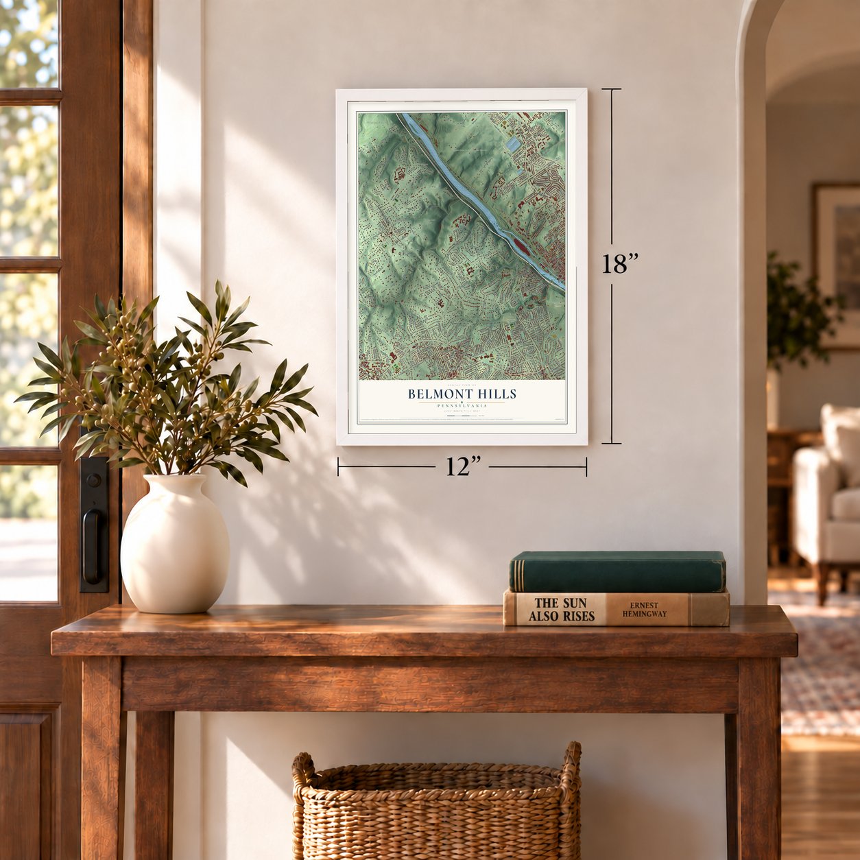
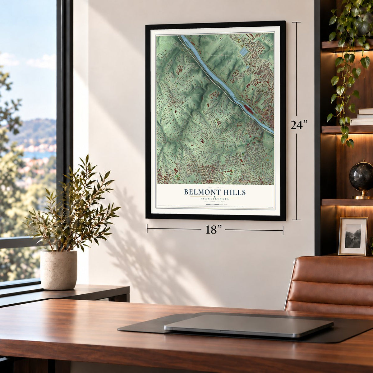
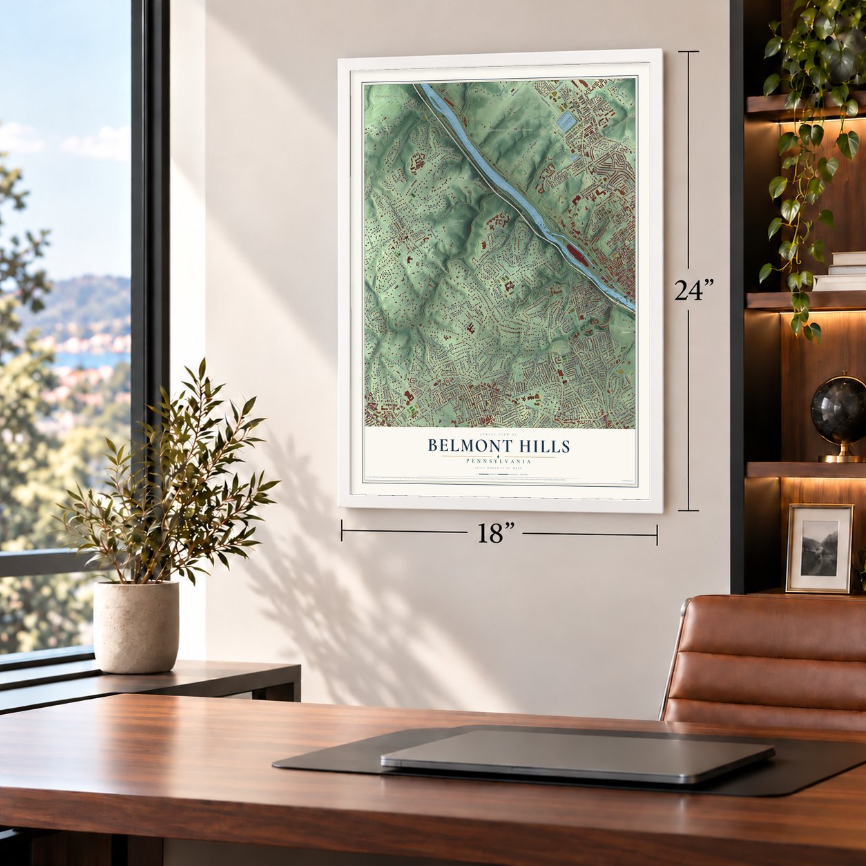
Belmont Hills, Pennsylvania Map Art
Building by building, with labeled streets and shaded relief.
12" x 18" Archival Matte Print
A Map of Home. A Work of Art.
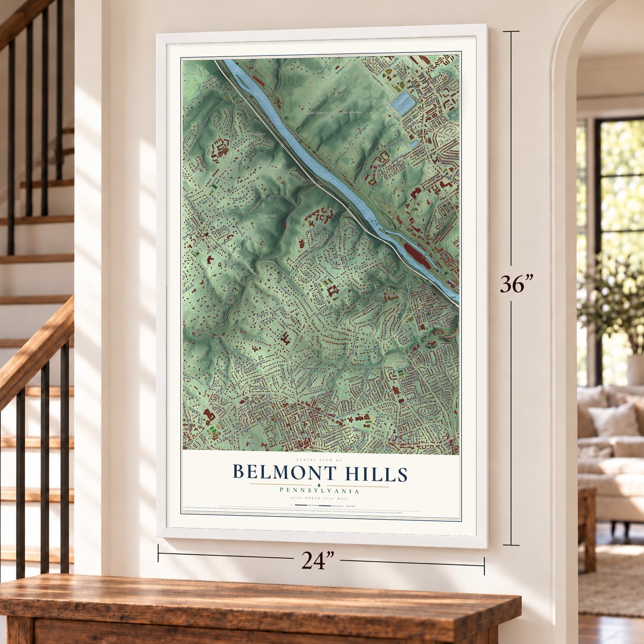
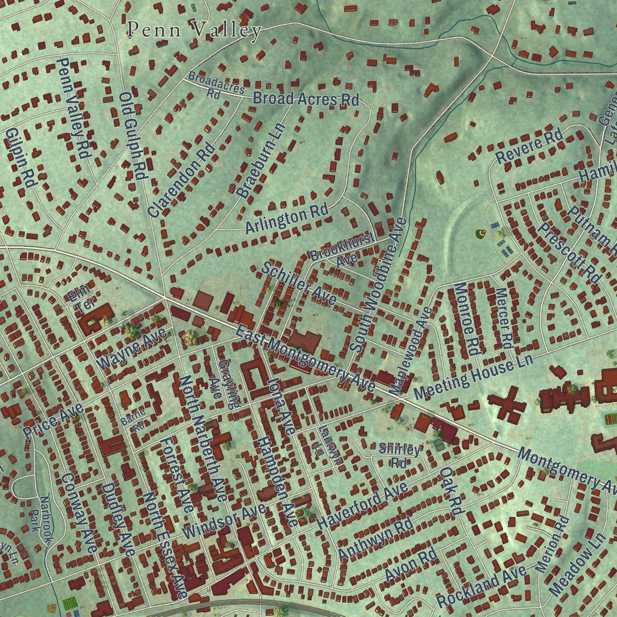
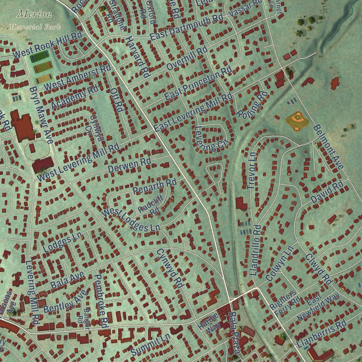
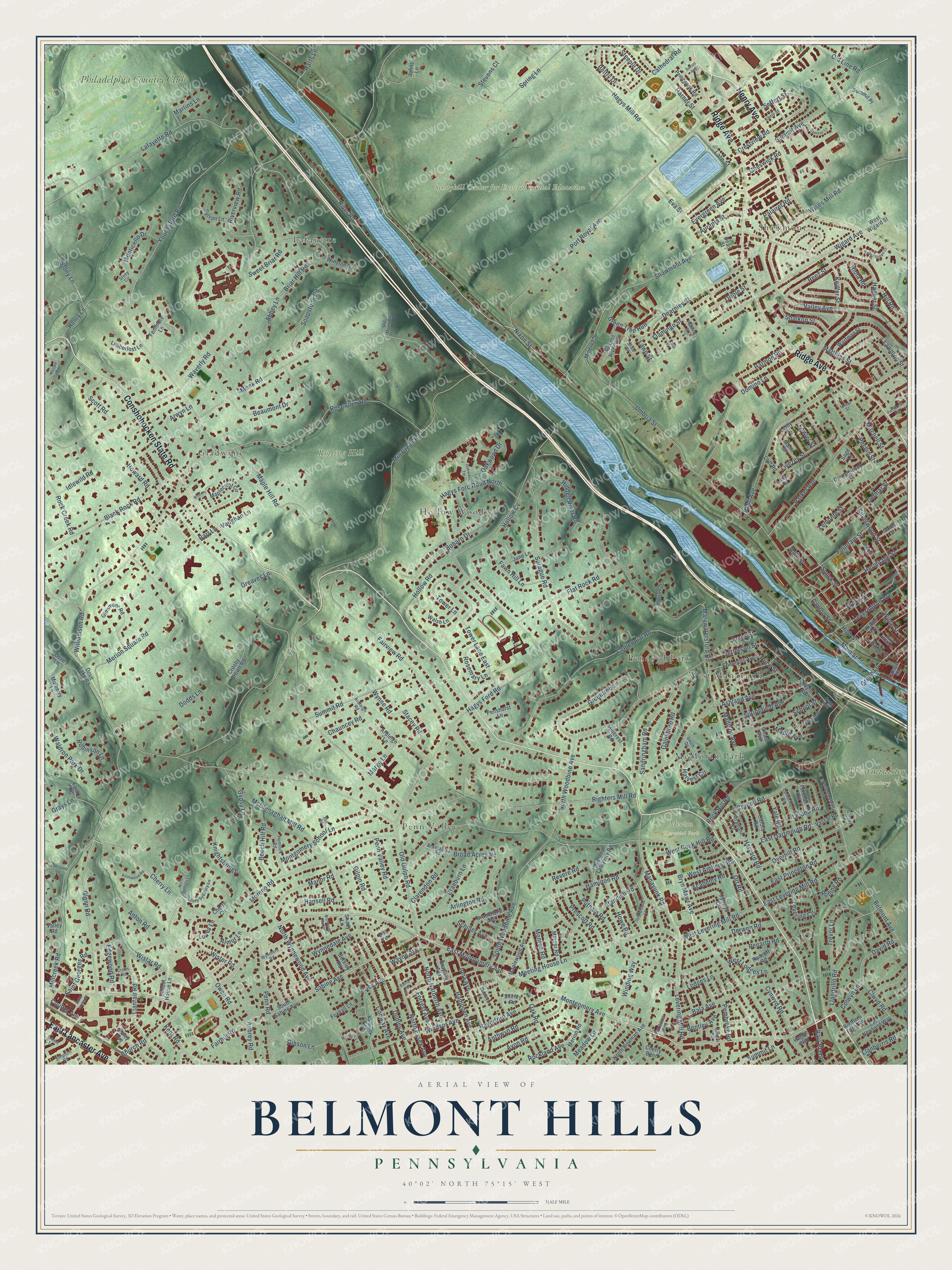
Explore Belmont Hills, Pennsylvania from a whole new perspective. Created using aerial imagery and detailed geographic data, this map captures Belmont Hills building by building, with labeled streets, familiar landmarks, and shaded topographical relief that highlights the natural contours of the landscape.
Combining modern data with the timeless character of a vintage atlas, this map is just as interesting up close as it is beautiful on the wall. Whether you grew up in Belmont Hills, spent memorable years there, or call it home today, this unique map is a great way to celebrate a place that means something to you. Zoom in on the preview to look for your street, and then order a print to put your memories on the wall.
Three ways to hang it
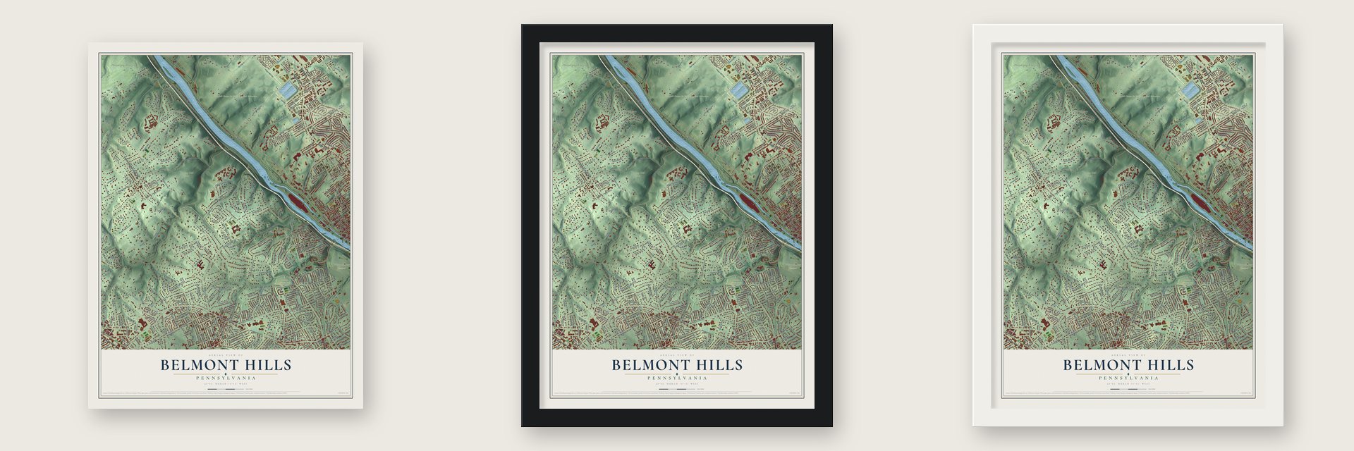
Unframed archival matte, a black wood frame or a white wood frame.
Up close
Geography Worth Displaying
This map was created using accurate cartographic data and authoritative geographic sources, including the U.S. Geological Survey and the Census Bureau. The map brings together terrain, waterways, roads, and building detail. The majority of the streets are labeled, houses are accurately depicted, and the topography is derived from government sources. Combining local data with carefully composed color and shading leads to this beautifully detailed Belmont Hills artwork for your wall.
Rather than simply showing street outlines, we’ve included as many of the street names as we could reasonably fit on the map while keeping their names legible. Zoom in on the high resolution preview to see exactly what’s on the map. We truly set out to create a statement piece for anyone who loves Belmont Hills. So whether it’s for you, or a gift for someone you love, we hope this map of Belmont Hills brings back fond memories.
Read the story behind this map: Detailed Map of Belmont Hills, Pennsylvania.

Find your street
Names on the Belmont Hills map
Every name below is printed on this map. Look for your street, your school, the park where you played, or the pond down the road.
Places and landmarks14
- Merion Memorial Park
- Rolling Hill Park
- Schuykill Center for Environmental Education
- Westminister Cemetery
- Penn Valley
- Lafayette
- Shawmont
- Pencoyd Park
- Gladwyne
- McMoran Park
- Hollow Woods
- West Manayunk
Show all 14 places
- Philadelphia Country Club
- Narbrook Park
Streets and roads342
- Henry Avenue
- East Lancaster Avenue
- Conshohocken State Road
- Ridge Avenue
- Montgomery Avenue
- River Road
- East Montgomery Avenue
- Llanfair Road
- Cherry Lane
- Glenn Road
- Sabine Avenue
- East Dartmouth Road
- Renz Street
- Righters Mill Road
- Bryn Mawr Avenue
- Youngsford Road
- Old Gulph Road
- Mill Creek Road
- Waverly Road
- Lafayette Road
- Port Royal Avenue
- Umbria Street
- Hagys Ford Road
- Fairview Road
- Centennial Road
- Shawmont Avenue
- Flat Rock Road
- Belmont Avenue
- Hagys Mill Road
- Millcreek Road
Show all 342 streets
- Monk Road
- Rose Glen Road
- Domino Lane
- North Woodbine Avenue
- Hollow Road
- Manor Road
- Winding Way
- Silverwood Street
- Summit Avenue
- Meeting House Lane
- Marywatersford Road
- Paoli Avenue
- Sprague Road
- Wigard Avenue
- Merion Square Road
- Bala Avenue
- McClenaghan Mill Road
- Parker Avenue
- Valley Avenue
- Tower Lane
- Flamingo Street
- Moreno Road
- Stony Lane
- Derwen Road
- Haverford Avenue
- Hamilton Road
- North Essex Avenue
- Wises Mill Road
- Hidden River Road
- Fountain Street
- North Wynnewood Avenue
- South Woodbine Avenue
- Black Rock Road
- Rock Hill Road
- Briar Hill Road
- Ashland Avenue
- Gypsy Lane
- Hill Road
- Broad Acres Road
- Dudley Avenue
- Wister Road
- Cornell Road
- Revere Road
- Windsor Avenue
- Hagys Ford Road North
- Kent Road
- Greentree Lane
- Manayunk Road
- Livezey Street
- Lemonte Street
- Eva Street
- Cynwyd Road
- Llandrillo Road
- Maple Hill Road
- East Levering Mill Road
- Penn Road
- Conway Avenue
- Dearnley Street
- North Narberth Avenue
- Bobarn Drive
- Summit Road
- Sandringham Road
- Jefferson Street
- Clwyd Road
- Beaumont Drive
- Saint Georges Road
- Shalkop Street
- Pechin Street
- Leverington Avenue
- Montgomery School Lane
- Fowler Street
- Overhill Road
- Iona Avenue
- Penarth Road
- Levering Mill Road
- Delmar Street
- Williamson Road
- Hermitage Street
- Smick Street
- Price Avenue
- Matthias Street
- Dodds Lane
- Schiller Avenue
- East Princeton Road
- Lawnton Street
- Avon Road
- Church Road
- Green Tree Run
- Crestview Road
- Main Street
- Rockland Avenue
- Trevor Lane
- Gibson Lane
- Braeburn Lane
- West Levering Mill Road
- Anthwyn Road
- Hampden Avenue
- Coulter Avenue
- Baker Street
- Evergreen Avenue
- Colwyn Lane
- Spring Lane
- Old Line Road
- Riverview Road
- Nixon Street
- Meadow Lane
- Margo Lane
- West Lodges Lane
- Grays Lane
- Academy Road
- Soapstone Road
- Wilde Street
- School Street
- Fairhill Road
- Keiffer Street
- Beech Hill Road
- Tower Lane East
- Springfield Avenue
- Sweet Briar Road
- Monticello Drive
- Cathedral Road
- Lare Street
- Oriole Street
- Levering Circle
- Ripka Street
- Rock Creek Road
- Fawn Hill Lane
- Abbey Lane
- Prescott Road
- Putnam Road
- Pembroke Road
- Standish Road
- Waldron Park Drive
- Anton Road
- Aubrey Road
- Harvard Road
- Owen Road
- Green Lane
- Stevens Court
- Hagner Street
- Scott Road
- Harmon Road
- Gainsboro Road
- Belfry Drive
- Howe Road
- Forrest Avenue
- Clarendon Road
- Maple Avenue
- Price Street
- West Rock Hill Road
- Hansell Road
- Yale Road
- Steeple Drive
- Mitchell Street
- Rosemary Lane
- Harner Street
- West Amherst Road
- Knightsbridge
- Wynne Road
- Lodges Lane
- Penn Valley Road
- Arlington Road
- Llanberris Road
- Bentley Avenue
- Ott Road
- Edgewood Road
- Robinson Lane
- Oak Road
- Wynnedale Avenue
- Oakwood Drive
- Rolling Road
- Martins Lane
- Aurania Street
- Loves Lane
- Harvest Circle
- Gilpin Road
- Seffert Street
- Harts Lane
- Madison Avenue
- Almur Lane
- Stacey Road
- Chauncey Road
- Bala Plaza
- Idlewild Road
- Cheswick Road
- Palairet Road
- Canton Street
- Summit Lane
- Hiola Road
- Howard Road
- Monroe Road
- Wistar Road
- David Road
- Henry Lane
- Vaughan Lane
- Greaves Lane
- Wayne Avenue
- Hollow Cv
- Ogle Street
- Arwyn Lane
- High Street
- Leland Road
- Jones Street
- Lawn Street
- Barr Lane
- Parsons Avenue
- North Bowman Avenue
- General Lafayette Road
- Cinnaminson Street
- Crosby Brown Road
- Oxford Road
- Maplecrest Circle
- Maplewood Avenue
- Dove Lake Road
- Glenmoor Road
- Brookhurst Avenue
- Righters Ferry Road
- Autumn River Run
- Grayling Avenue
- Merion Road
- June Lane
- Manti Street
- Cynwyd Circle
- Leroy Street
- Fenimore Lane
- Wartman Street
- South Sabine Avenue
- Gates Street
- Krams Avenue
- Sibley Avenue
- Ebenezer Avenue
- Minerva Street
- Mulberry Lane
- Hillcrest Road
- East Newfield Way
- Shirley Road
- Sylvan Lane
- Cherry Circle
- Radcliff Road
- Mercer Road
- Fordham Road
- Pembrook Road
- Limberlost Lane
- Carson Street
- Walsh Lane
- Belmont Terrace
- School House Lane
- Cherry Bend
- Cliff Road
- Penshurst Lane
- Stradone Road
- West Wigard Street
- Winston Road
- Summit Place
- Lyle Avenue
- Vassar Road
- Foxhall Lane
- Gerson Drive
- Ardleigh Lane
- Hardie Way
- Shady Lane
- Berkley Road
- Dove Lane
- Valley Road
- Farm Road
- Johns Lane
- Bean Street
- Girard Avenue
- Elm Terrace
- Sage Lane
- Shaw Street
- Broadacres Road
- Cambridge Road
- Hemlock Road
- Pawling Street
- Sheldon Street
- Keely Street
- South Sydbury Lane
- Simpson Road
- Pencoyd Avenue
- Smith Drive
- Lantwyn Lane
- Wynmere Road
- Bangor Road
- Old Monk Road
- Narwyn Lane
- Garnet Lane
- Culp Street
- Ardleigh Road
- Penn Avenue
- Cross Road
- Lodge Road
- Stony Circle
- Ulmer Street
- Saint Davids Street
- Springhouse Lane
- Greenough Street
- Brynwood Manor
- Norsam Road
- Sunset Avenue
- Valley Green Court
- North Sydbury Lane
- Cadillac Lane
- Winters Lane
- Keithwood Road
- Oakwood Terrace
- Saint James Place
- Cheswold Lane
- Fairthorne Avenue
- Cricket Terrace
- Bell Road
- Barrie Road
Names are listed as they appear on the printed map. Zoom into the product photos to find them.
About Belmont Hills, Pennsylvania
Before the Reading Railroad came, this neighborhood was called Rocky Hill. Later it was known as West Manayunk. In the 1950s residents took the name Belmont Hills. Belmont means beautiful mountain, a good fit for such hilly ground.
In 1948 a blast in the nearby quarry hurled a 30 pound stone onto the lawn of a home. Several residents found broken windows and cracked ceilings. No one was hurt.
- The hometown fire companyIn 1917 a civic group started a fire service in West Manayunk. Volunteers first pulled a chemical wagon by hand. A year later they bought a horse-drawn wagon. Their own fire station opened in 1926.
Keep exploring Pennsylvania
Belmont Hills is one of 3,725 Pennsylvania towns we've mapped. Every dot on the map is a print of its own.
The search covers every state, Pennsylvania first.
Near Belmont Hills
Order 2 or more town maps and save 10%. Shown in the size and finish you picked above, so they hang as a set.
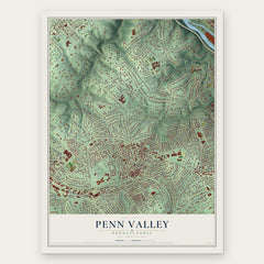
- Penn Valley 12" x 18" / Archival Matte Print $39.99
- Lower Merion 12" x 18" / Archival Matte Print $39.99
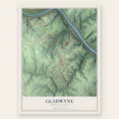
- Gladwyne 12" x 18" / Archival Matte Print $39.99

More maps nearby: Roxborough, Narberth, Manayunk, Merion Station and Bala Cynwyd.
The art of mapping a place
How This Map Was Made
Real places. Remarkable detail. Discover the layers that turn geographic data into a map of home.

The view from above
Aerial imagery reveals the character of the land: woodland, open fields, and the patterns of a place.

The shape of the land
Elevation data brings hills, valleys, and subtle changes in the landscape into view.

The details of home
Roads, waterways, and building footprints come together to make the map feel unmistakably local.

Geography becomes art
Considered color, shading, and typography bring the layers together in a map made for your wall.


Process illustrated with Mendon, Massachusetts. Aerial imagery: USDA NAIP. Terrain: USGS 3D Elevation Program. Map details and finished artwork: KNOWOL.
The Details
About This Print
Choose an archival matte print, or a black or white Ayous wood frame. The archival matte print is unframed.
Select your size and finish above to see the matching product image and price.
Materials & Craftsmanship
A contemporary map with the character of a classic atlas, printed on archival matte paper. Optional frames are made from Ayous wood.
Your printed map does not include the watermark shown in the full-map preview.
Shipping & Delivery
Free shipping within the United States. Every print is made to order in the USA.
Buying a gift? Add a note in your cart and we'll include it. We never put prices in the package.
Prints ship within 2 to 3 business days. Allow 7 to 10 days total from ordering for delivery. Timing may vary during holidays or periods of high order volume.
Read our shipping policy.
Returns and damaged prints
Each print is made to order. Change-of-mind refunds are not available after production.
If your print arrives damaged, misprinted or incorrect, contact support@knowol.com within 30 days of receiving it. Include your order number, photos and a description of the issue.
Read our full refund and replacement policy. For questions about your order, email support@knowol.com.