
Search for another town
Free U.S. delivery 7 to 10 days after you order
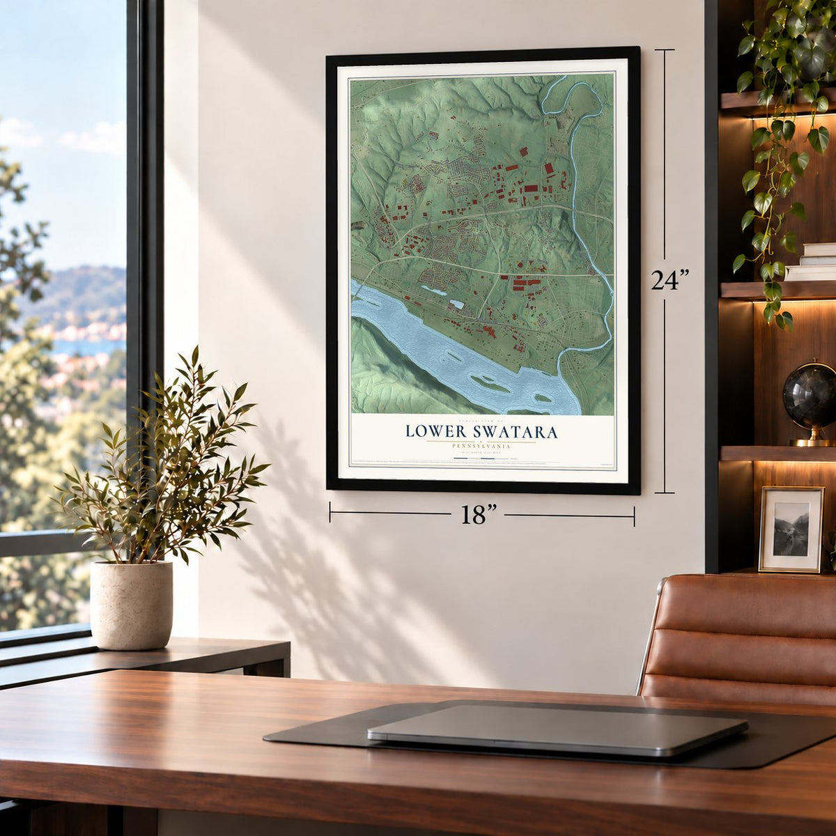
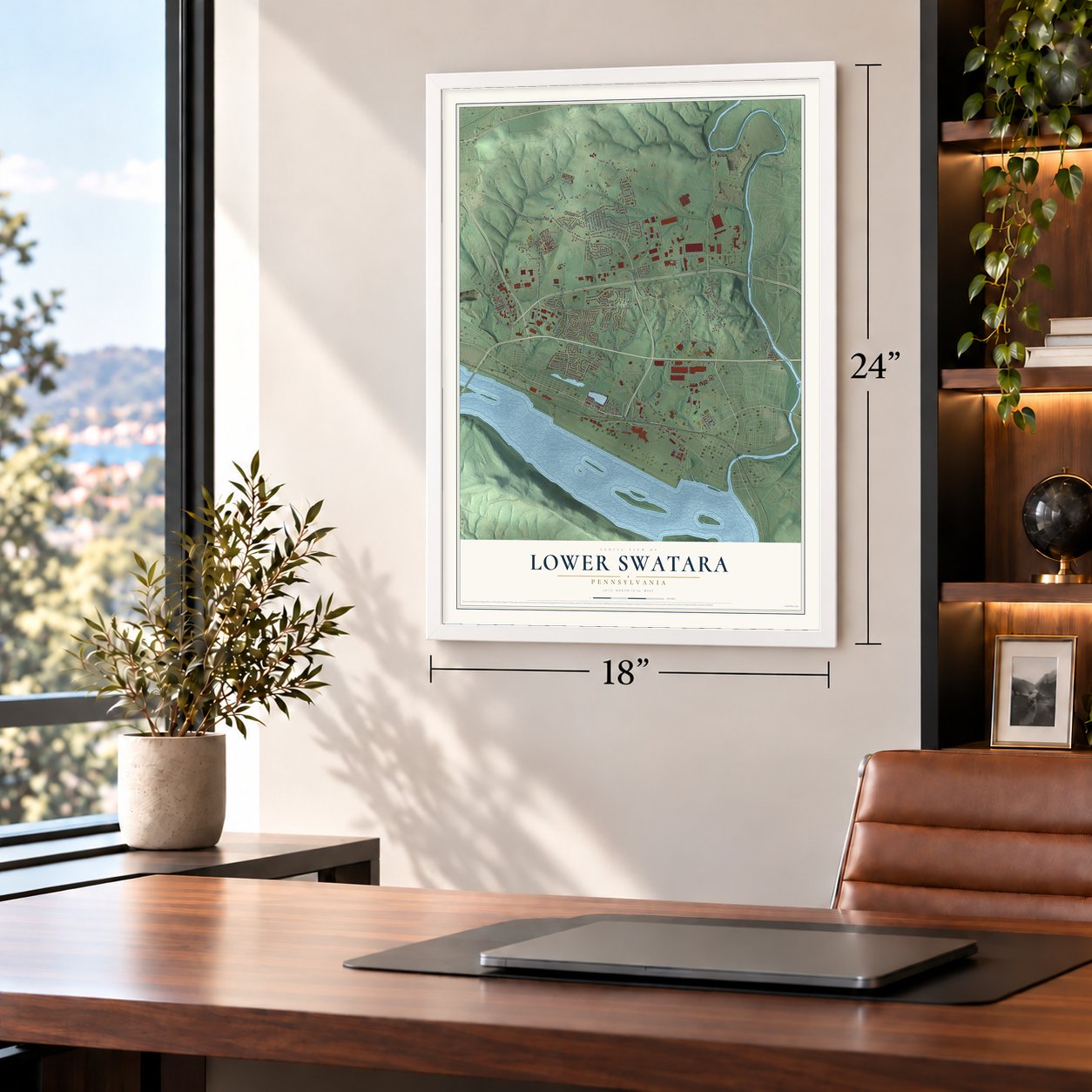
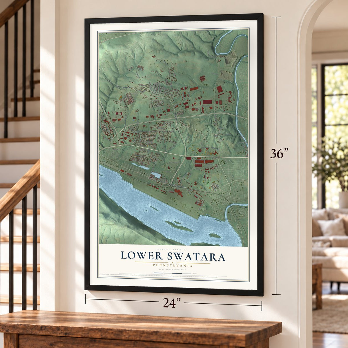
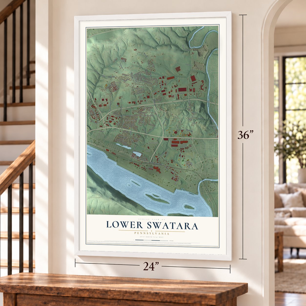
Lower Swatara, Pennsylvania Map Art
Building by building, with labeled streets and shaded relief.
12" x 18" Archival Matte Print
A Map of Home. A Work of Art.
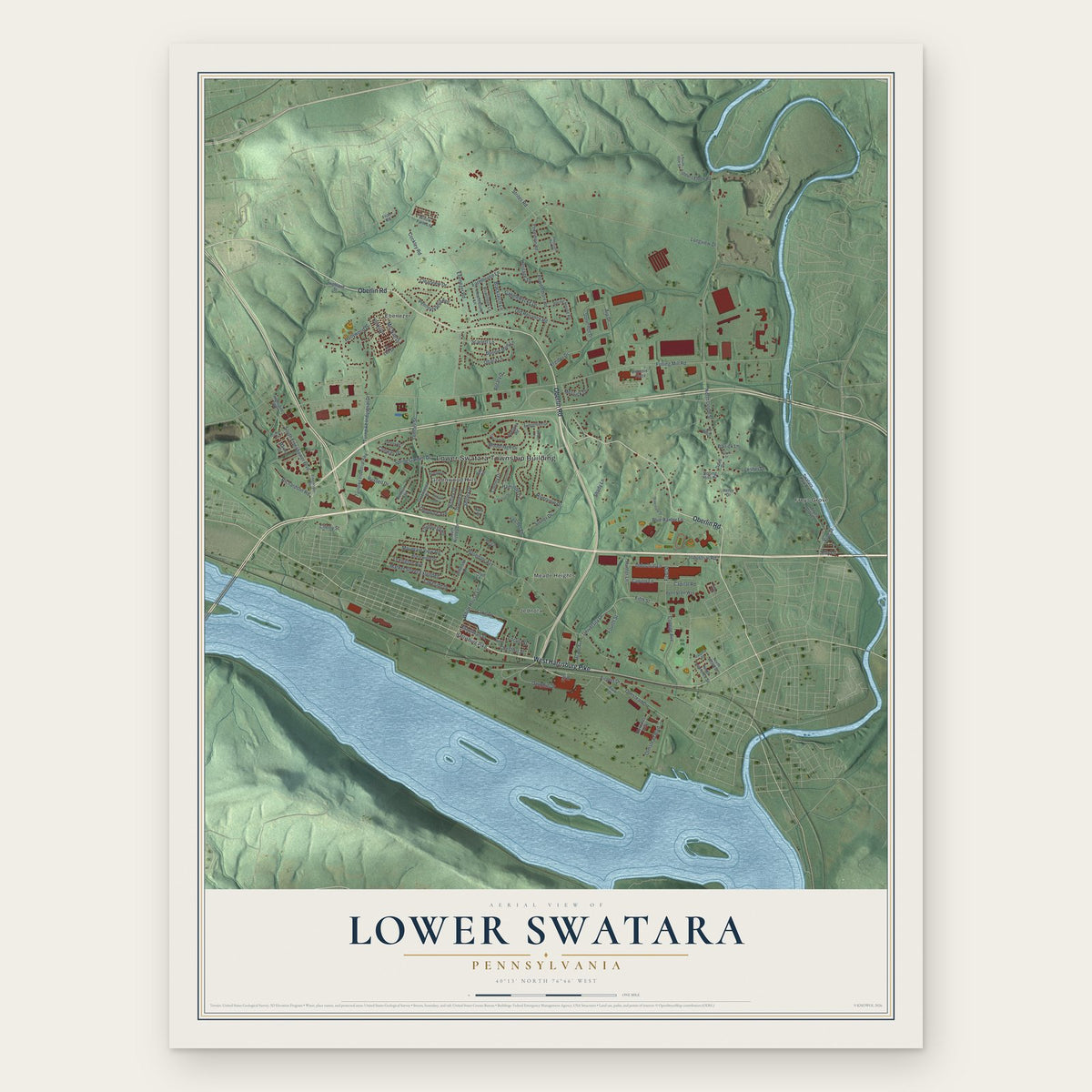
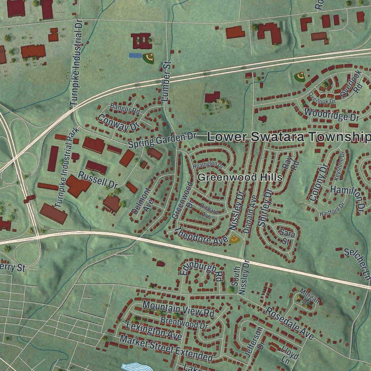
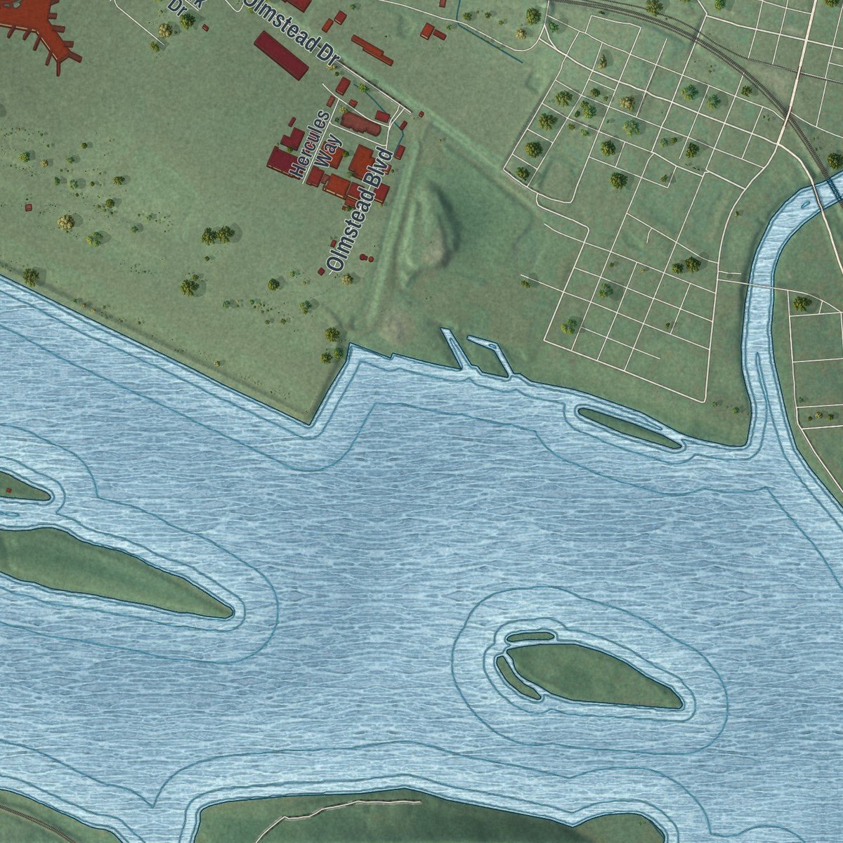
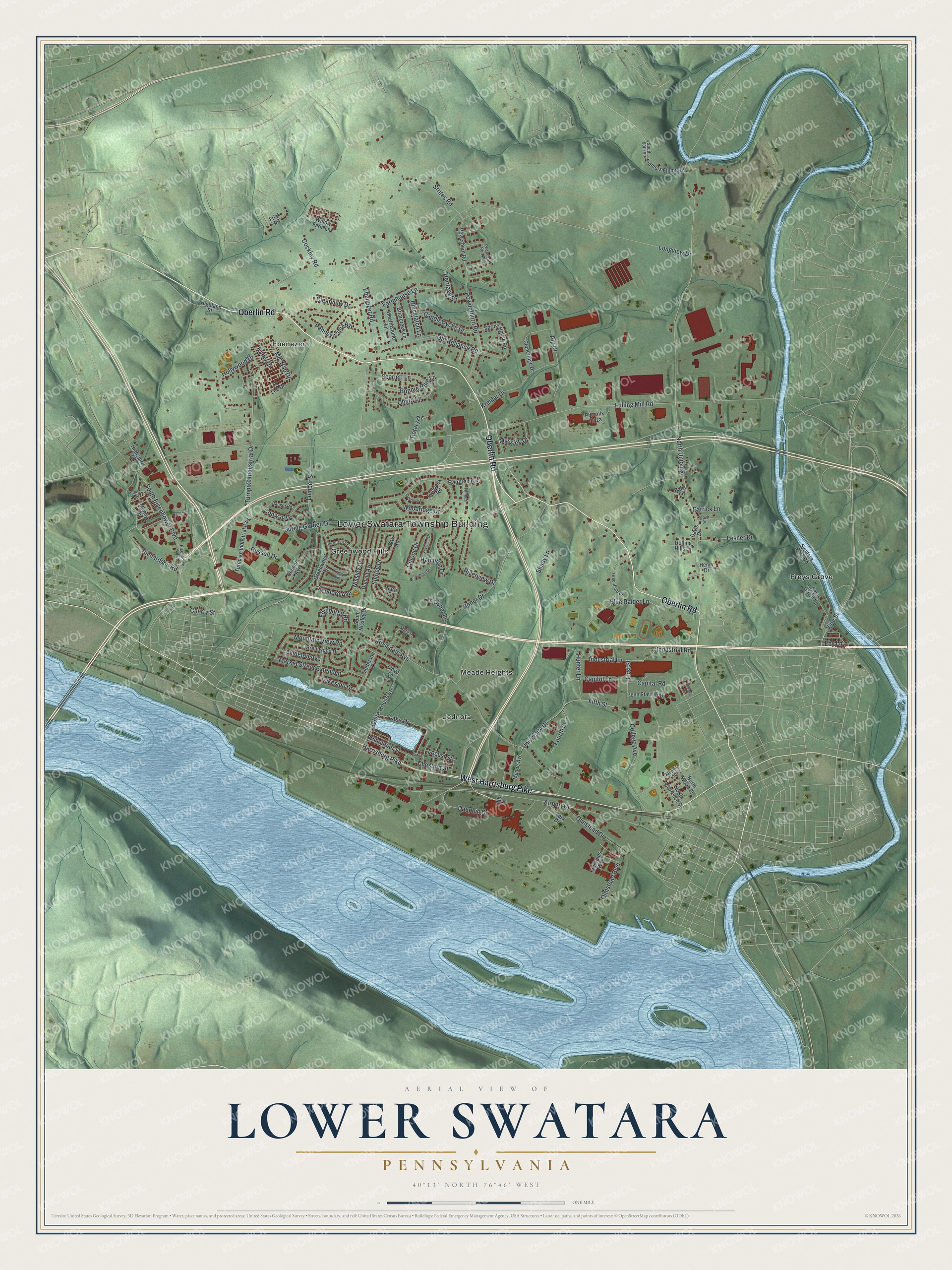
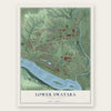
Explore Lower Swatara, Pennsylvania from a whole new perspective. Created using aerial imagery and detailed geographic data, this map captures Lower Swatara building by building, with labeled streets, familiar landmarks, and shaded topographical relief that highlights the natural contours of the landscape.
Combining modern data with the timeless character of a vintage atlas, this map is just as interesting up close as it is beautiful on the wall. Whether you grew up in Lower Swatara, spent memorable years there, or call it home today, this unique map is a great way to celebrate a place that means something to you. Zoom in on the preview to look for your street, and then order a print to put your memories on the wall.
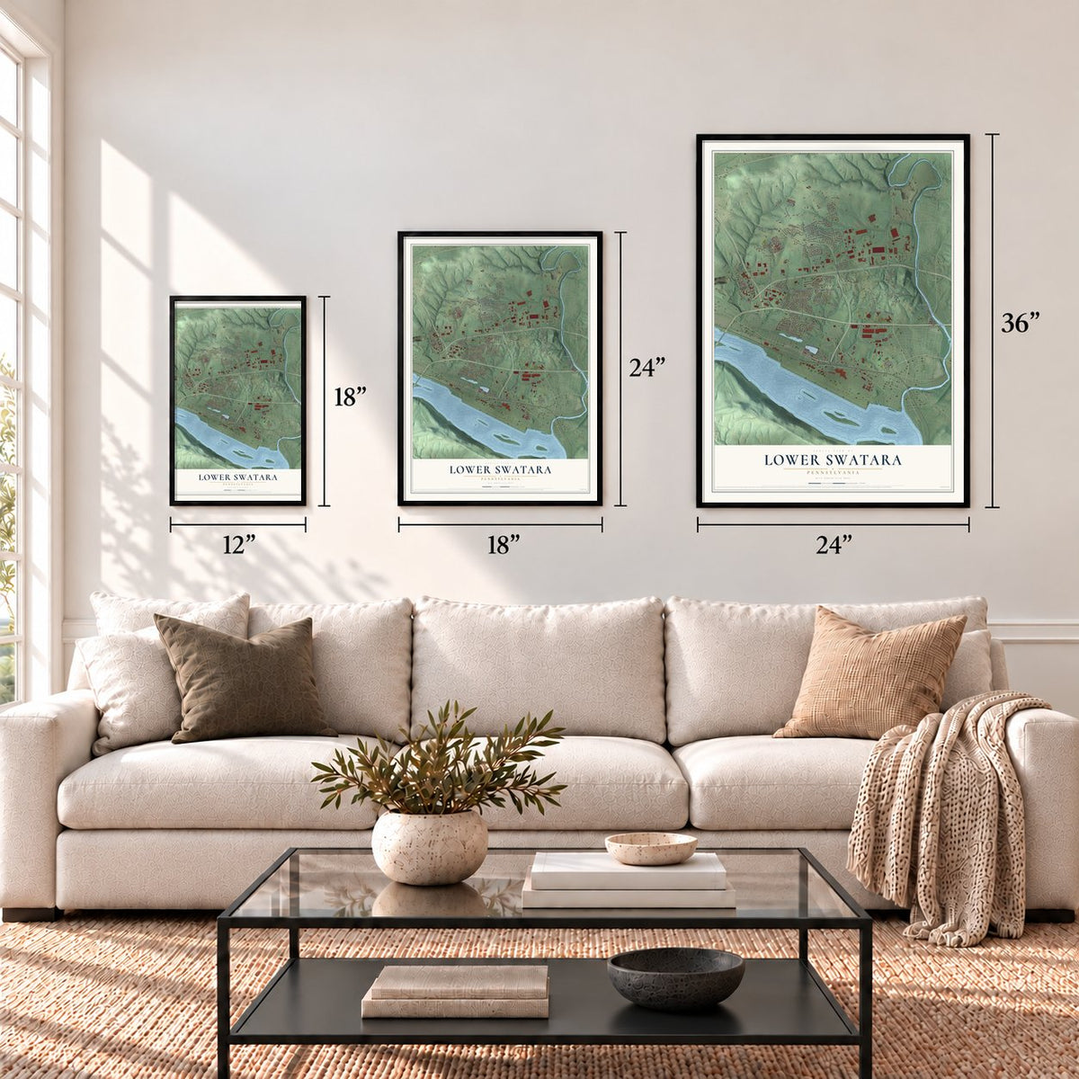
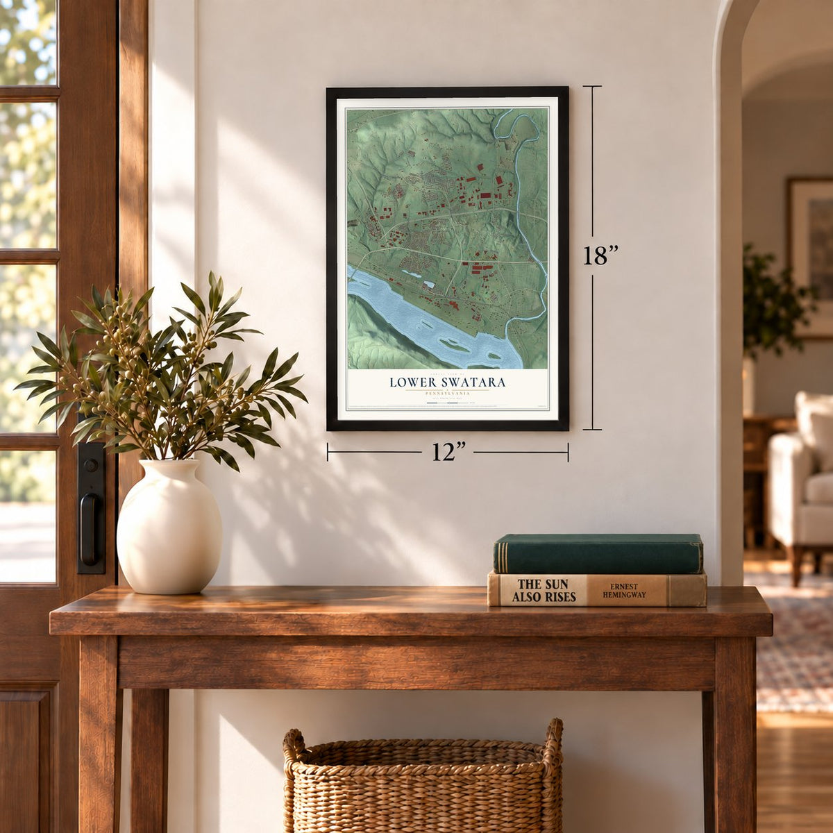
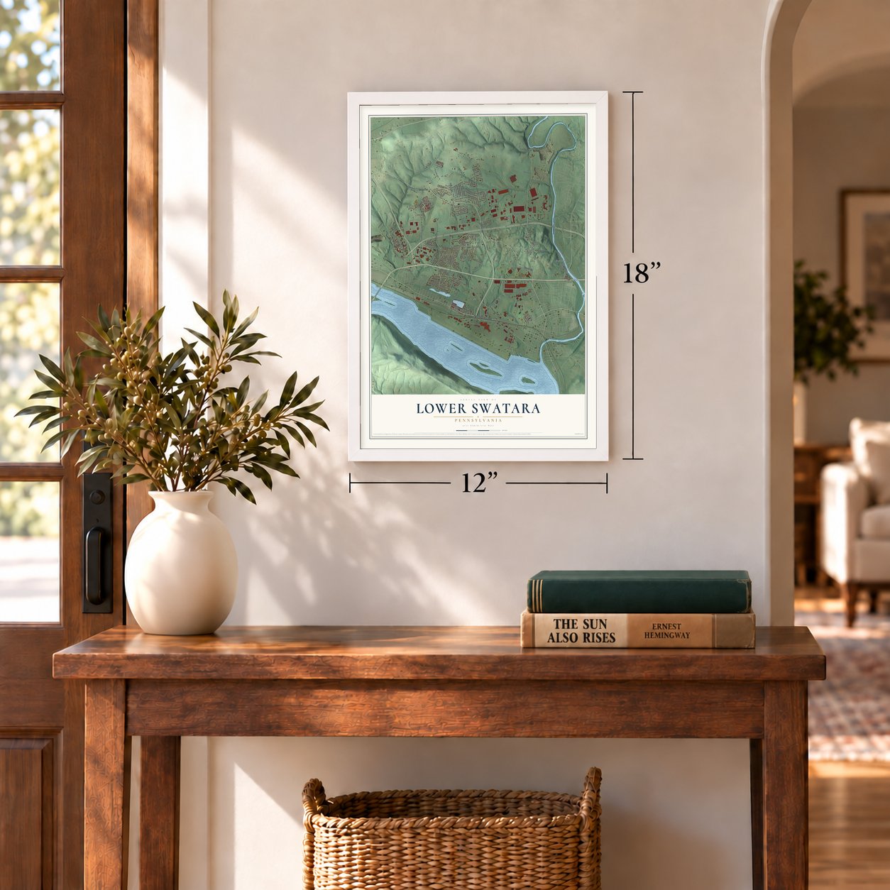
Three ways to hang it
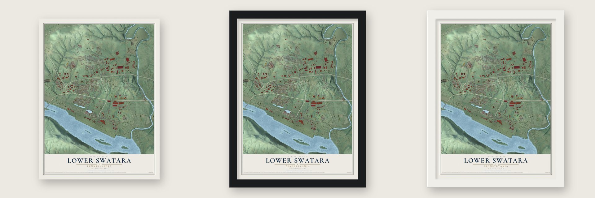
Unframed archival matte, a black wood frame or a white wood frame.
Up close
Geography Worth Displaying
This map was created using accurate cartographic data and authoritative geographic sources, including the U.S. Geological Survey and the Census Bureau. The map brings together terrain, waterways, roads, and building detail. The majority of the streets are labeled, houses are accurately depicted, and the topography is derived from government sources. Combining local data with carefully composed color and shading leads to this beautifully detailed Lower Swatara artwork for your wall.
Rather than simply showing street outlines, we’ve included as many of the street names as we could reasonably fit on the map while keeping their names legible. Zoom in on the high resolution preview to see exactly what’s on the map. We truly set out to create a statement piece for anyone who loves Lower Swatara. So whether it’s for you, or a gift for someone you love, we hope this map of Lower Swatara brings back fond memories.
Read the story behind this map of Lower Swatara, Pennsylvania from 2026.
Find your street
Names on the Lower Swatara map
Every name below is printed on this map. Look for your street, your school, the park where you played, or the pond down the road.
Places and landmarks7
- Lower Swatara Township Building
- Ebenezer
- Freys Grove
- Greenwood Hills
- Jednota
- Meade Heights
- Turnpike Industrial Park
Streets and roads128
- Oberlin Road
- West Harrisburg Pike
- Spring Garden Drive
- Turnpike Industrial Drive
- Vine Street
- Dauphin Drive
- North Union Street
- Airport Drive
- Theodore Avenue
- First Street
- Fulling Mill Road
- Longview Drive
- Rosedale Avenue
- Nissley Drive
- Stoner Drive
- Woodridge Drive
- Olmstead Drive
- South Eisenhower Boulevard
- Lumber Street
- Fifth Street
- Strites Road
- Richardson Road
- White House Lane
- University Drive
- Powderhorn Road
- College Avenue
- Pennsylvania Avenue
- Mountain View Road
- Old Reliance Road
- Market Street Extended
Show all 128 streets
- Hollywood Drive
- Ebenezer Road
- Blue Raider Lane
- Kreider Drive
- Shirley Drive
- Aip Drive
- Ohara Lane
- Capitol Lane
- Cockley Road
- Harrisburg Pike
- Farmhouse Lane
- Industrial Lane
- Riverview Drive
- Lake Drive
- Shady Lane
- Heritage Square
- Fourth Street
- Hunter Lane
- Candlewycke Drive
- Mic Nan Drive
- Olmstead Boulevard
- Conway Drive
- Scarlett Lane
- Edinburgh Road
- Lakeside Drive
- Lesher Drive
- Eshelman Street
- Kathy Drive
- Colony Drive
- Clearview Drive
- Bonnie Blue Lane
- Industrial Road
- Blacklatch Lane
- Eby Lane
- Messick Drive
- Hamilton Drive
- Lexington Avenue
- Rotary Drive
- Parrick Lane
- Chestnut Street
- Capital Road
- Cherry Street
- Russell Drive
- Locust Street
- Selcher Lane
- Powerhorn Road
- Swatara Park Road
- Spring House Road
- Donald Avenue
- Brentwood Drive
- Fiddlers Elbow Road
- Stoneridge Drive
- Greenwood Drive
- Jo Lee Drive
- York Drive
- South Nissley Drive
- Briarcreek Lane
- Hearthstone Lane
- Meade Avenue
- Penn State Way
- Fryes Grove Lane
- Manny Drive
- Ray Road
- North Lawrence Street
- North Wood Street
- Phoenix Plaza
- Evergreen Drive
- Willow Farm Lane
- Overlook Road
- Rolling Hills Drive
- Hercules Way
- Jefferson Drive
- Delmont Avenue
- Sara Street
- Highland Street
- Highspire Road
- Henry Drive
- Davis Drive
- Balls Lane
- Friar Road
- Lloyd Lane
- Eisenhower Boulevard
- Pheasant Run Road
- Greenfield Drive
- Morgan Drive
- Bangor Road
- Dauphin Street
- Timber Lane
- South 80th Street
- George Drive
- Richard Avenue
- Aldwyn Court
- Heathglen Drive
- Keystone Drive
- Hartford Drive
- Overlook Drive
- Floyd Drive
- Gate Lane
Names are listed as they appear on the printed map. Zoom into the product photos to find them.
About Lower Swatara, Pennsylvania
Lower Swatara is a township of 9,531 people in Dauphin County, with Swatara Creek on its east side and the Susquehanna River to the south. It was part of Swatara Township until a state law of March 18, 1840, made it a township of its own. That law traced the new boundary from landmark to landmark, beginning at the west end of the bridge that crossed Swatara Creek at Nissley's mill, and a second law that June moved a section of the boundary to Christian Good's fulling mill.
For years the township's voters turned down free public schools, because many farmers opposed the new state school law. Nearly everyone in the town of Portsmouth favored it. In 1843, with the roads nearly impassable, Martin Kendig, William F. Murray and others gathered every Portsmouth voter they could find and brought them to the polls. They bet that the farmers would stay home, and they were right: voters approved the law and elected a school board that favored it.
- Roads named for 1840 landmarksThe mills that marked the township's first boundary are gone from the record, but their names live on. Nissley Drive recalls Nissley's mill at the Swatara Creek bridge, and Fulling Mill Road recalls Christian Good's fulling mill, where the June 1840 law redrew part of the line.
- Portsmouth left in 1857Portsmouth, a town of about 750 people, carried the 1843 school vote for the whole township. Fourteen years later, in 1857, Portsmouth became part of Middletown.
- Eight schools by 1883The free school system took hold after the 1843 vote. When the county history was written in 1883, it counted eight good schools in Lower Swatara.
Keep exploring Pennsylvania
Lower Swatara is one of 3,725 Pennsylvania towns we've mapped. Every dot on the map is a print of its own.
The search covers every state, Pennsylvania first.
Near Lower Swatara
Order 2 or more town maps and save 10%. Shown in the size and finish you picked above, so they hang as a set.
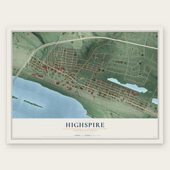
- Highspire 12" x 18" / Archival Matte Print $39.99
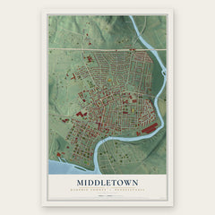
- Middletown 12" x 18" / Archival Matte Print $39.99
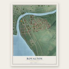
- Royalton 12" x 18" / Archival Matte Print $39.99
More maps nearby: Swatara, Bressler, Oberlin, Rutherford and Steelton.
The art of mapping a place
How This Map Was Made
Real places. Remarkable detail. Discover the layers that turn geographic data into a map of home.

The view from above
Aerial imagery reveals the character of the land: woodland, open fields, and the patterns of a place.

The shape of the land
Elevation data brings hills, valleys, and subtle changes in the landscape into view.

The details of home
Roads, waterways, and building footprints come together to make the map feel unmistakably local.

Geography becomes art
Considered color, shading, and typography bring the layers together in a map made for your wall.


Process illustrated with Mendon, Massachusetts. Aerial imagery: USDA NAIP. Terrain: USGS 3D Elevation Program. Map details and finished artwork: KNOWOL.
The Details
About This Print
Choose an archival matte print, or a black or white Ayous wood frame. The archival matte print is unframed.
Select your size and finish above to see the matching product image and price.
Materials & Craftsmanship
A contemporary map with the character of a classic atlas, printed on archival matte paper. Optional frames are made from Ayous wood.
Your printed map does not include the watermark shown in the full-map preview.
Shipping & Delivery
Free shipping within the United States. Every print is made to order in the USA.
Buying a gift? Add a note in your cart and we'll include it. We never put prices in the package.
Prints ship within 2 to 3 business days. Allow 7 to 10 days total from ordering for delivery. Timing may vary during holidays or periods of high order volume.
Read our shipping policy.
Returns and damaged prints
Each print is made to order. Change-of-mind refunds are not available after production.
If your print arrives damaged, misprinted or incorrect, contact support@knowol.com within 30 days of receiving it. Include your order number, photos and a description of the issue.
Read our full refund and replacement policy. For questions about your order, email support@knowol.com.