
Search for another town

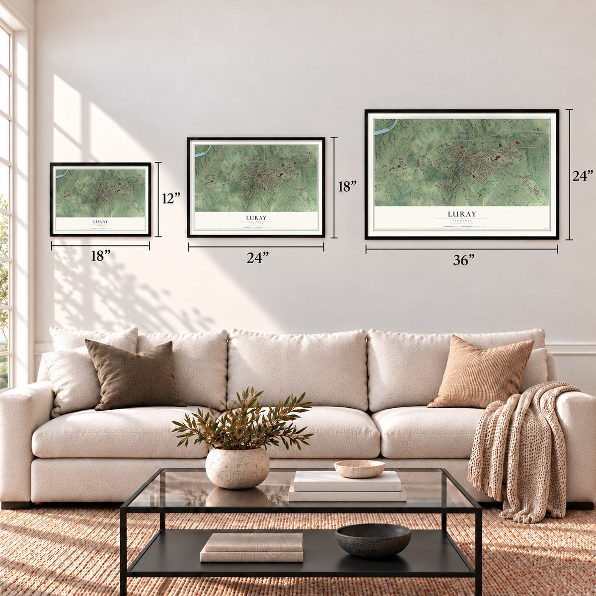

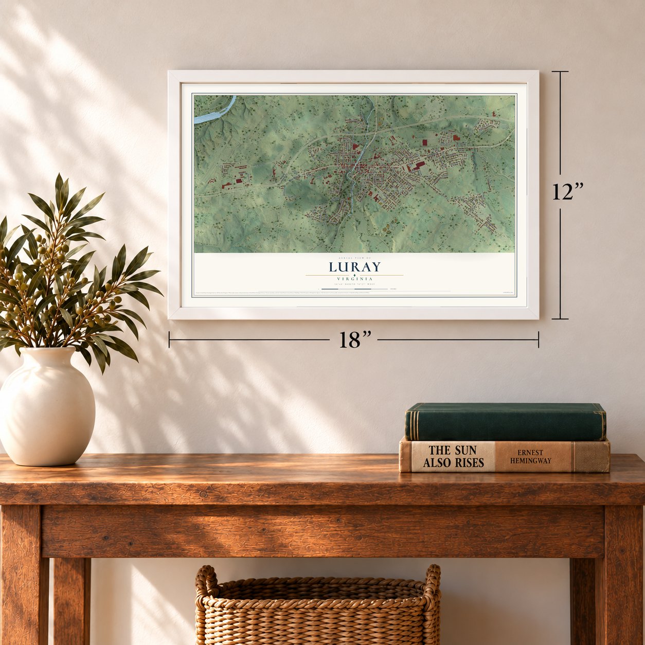
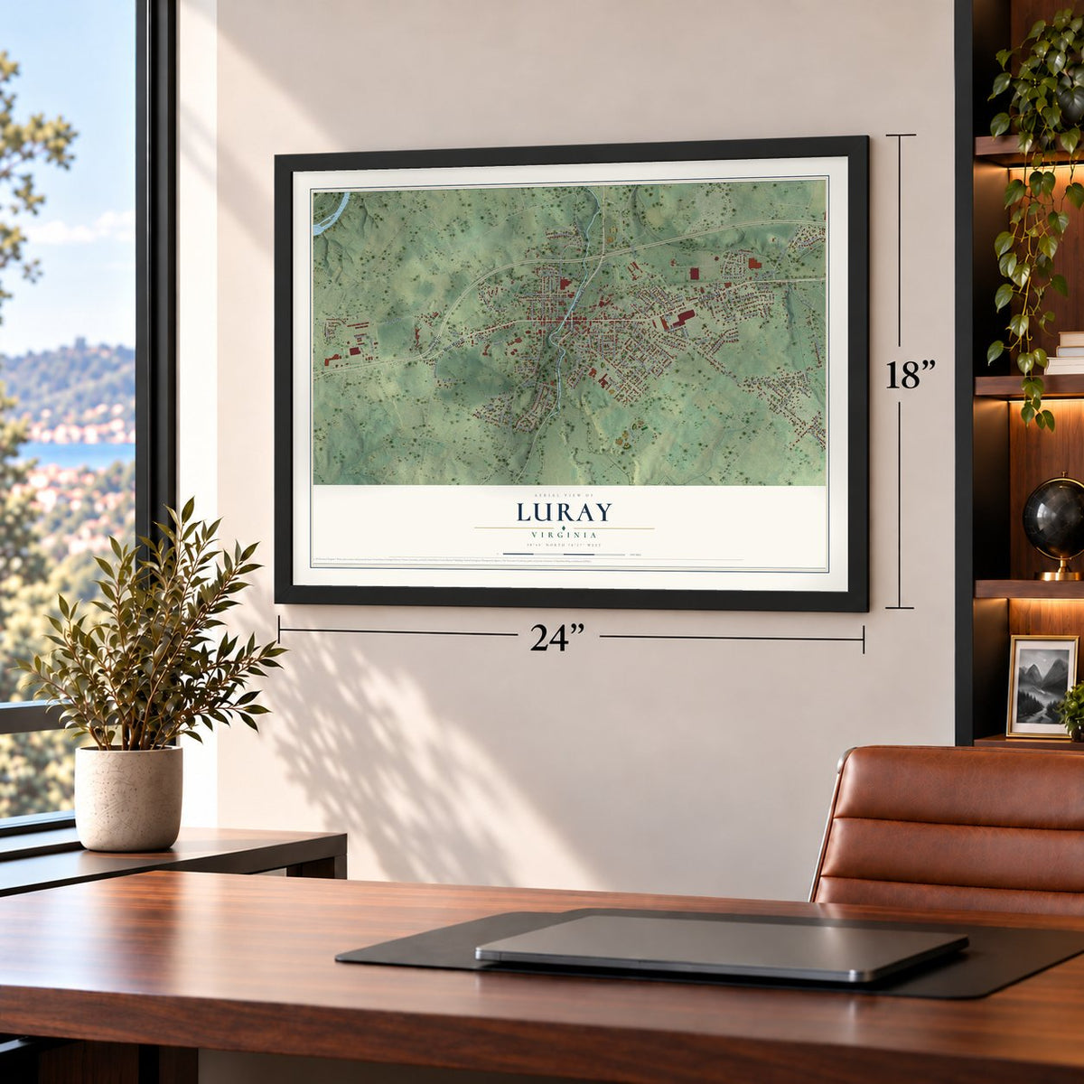
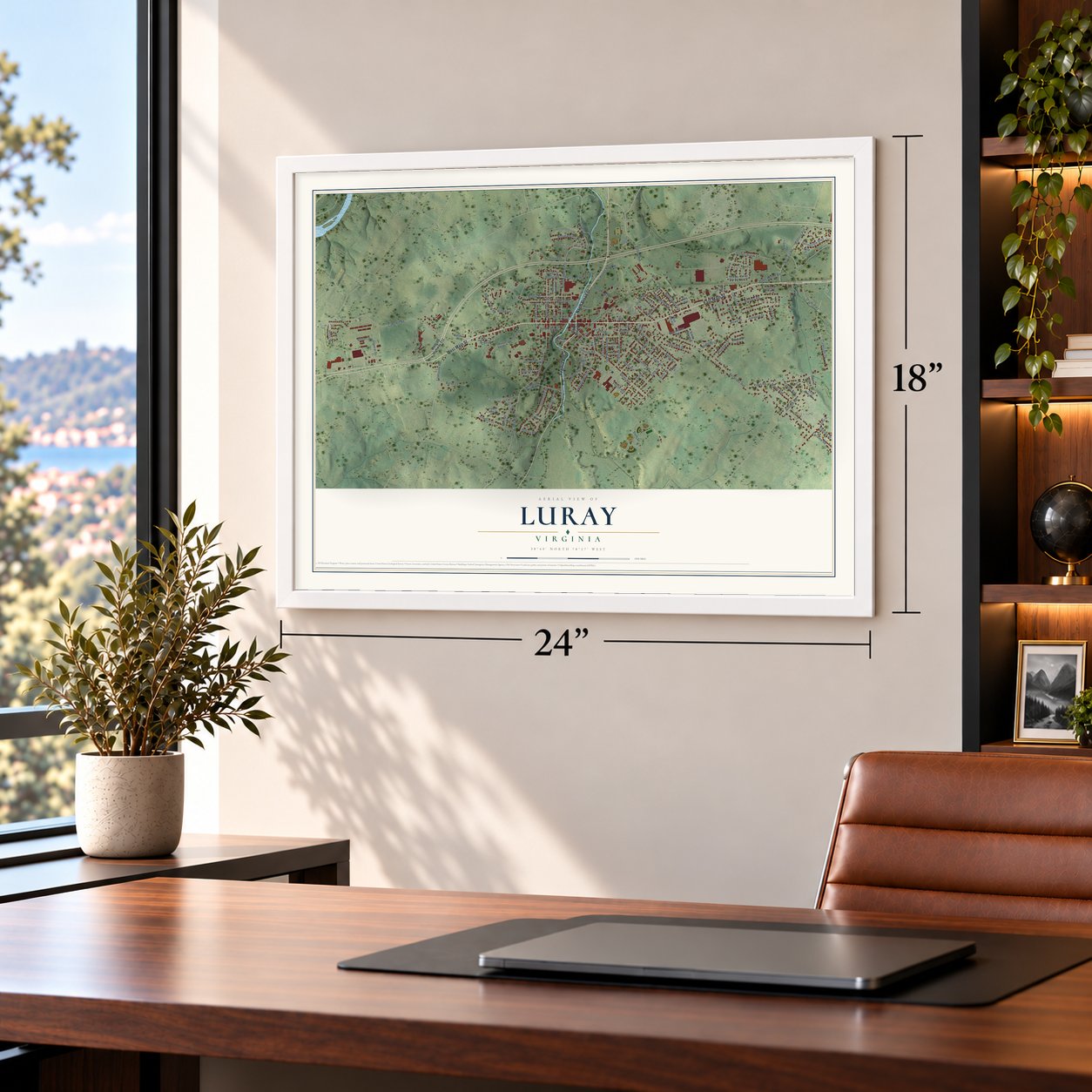
Free U.S. delivery 7 to 10 days after you order
Luray, Virginia Map Art
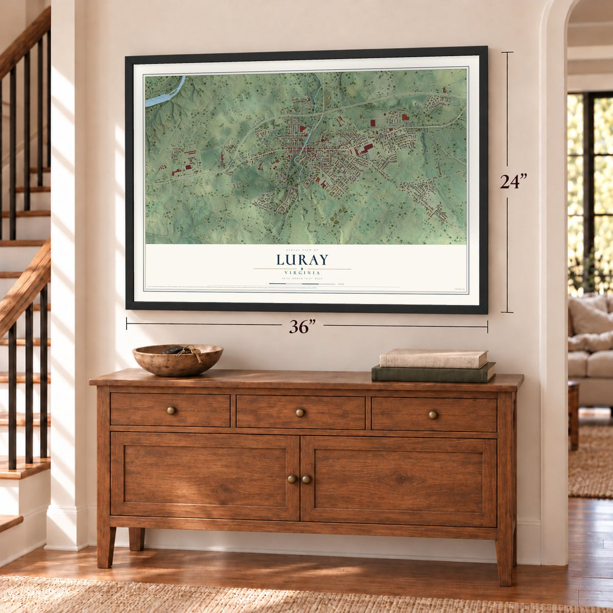
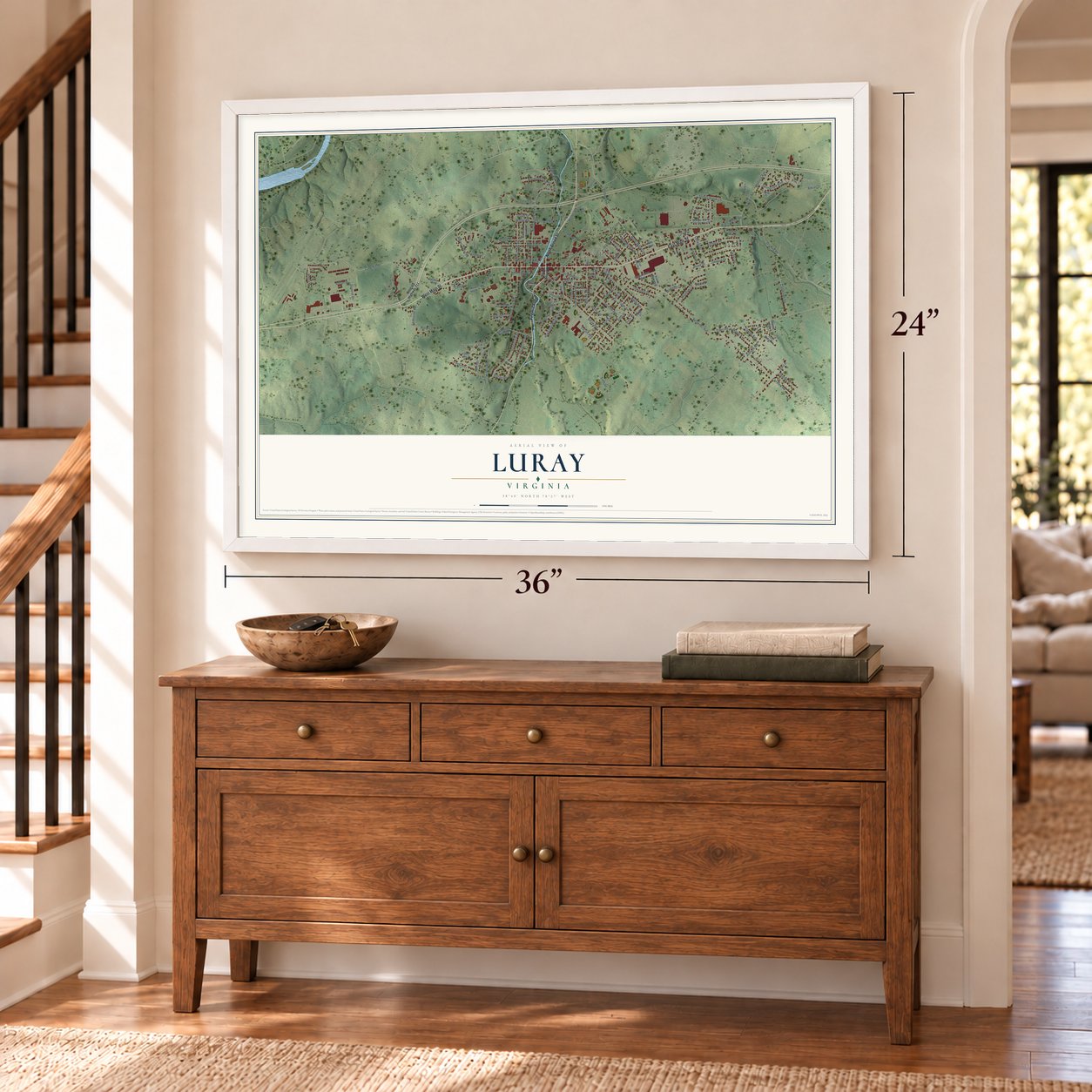
A new map of Luray, Virginia, made in 2026 and printed to order on thick archival matte paper.
12" x 18" Archival Matte Print
A Map of Home. A Work of Art.
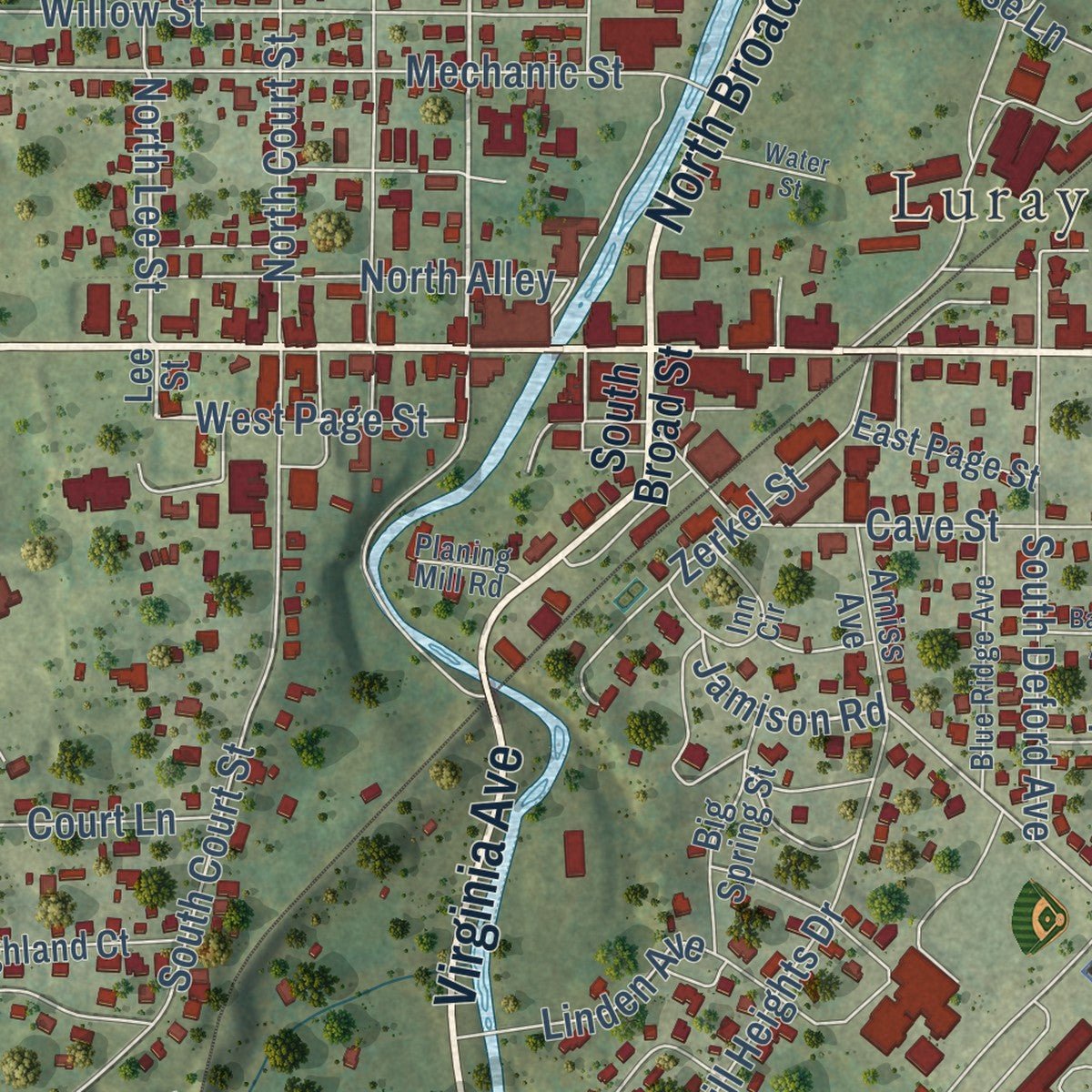
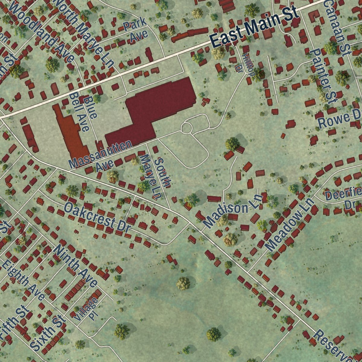
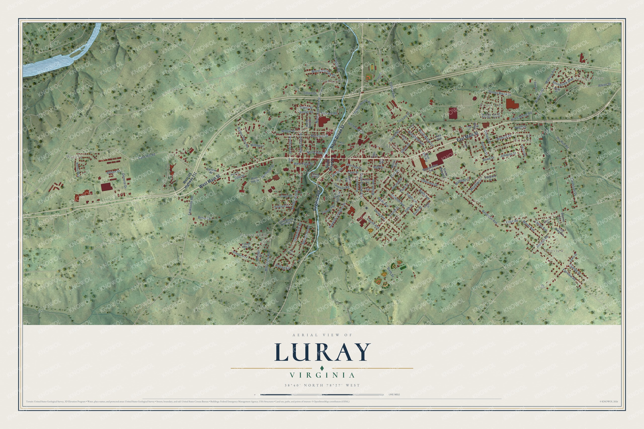
Explore Luray, Virginia from a whole new perspective. Created using aerial imagery and detailed geographic data, this map captures Luray building by building, with labeled streets, familiar landmarks, and shaded topographical relief that highlights the natural contours of the landscape.
Combining modern data with the timeless character of a vintage atlas, this map is just as interesting up close as it is beautiful on the wall. Whether you grew up in Luray, spent memorable years there, or call it home today, this unique map is a great way to celebrate a place that means something to you. Zoom in on the preview to look for your street, and then order a print to put your memories on the wall.
Three ways to hang it
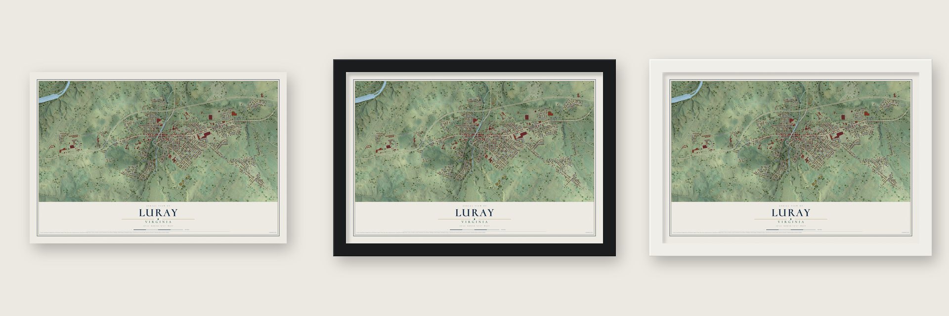
Unframed archival matte, a black wood frame or a white wood frame.
Up close
Geography Worth Displaying
This map was created using accurate cartographic data and authoritative geographic sources, including the U.S. Geological Survey and the Census Bureau. The map brings together terrain, waterways, roads, and building detail. The majority of the streets are labeled, houses are accurately depicted, and the topography is derived from government sources. Combining local data with carefully composed color and shading leads to this beautifully detailed Luray artwork for your wall.
Rather than simply showing street outlines, we’ve included as many of the street names as we could reasonably fit on the map while keeping their names legible. Zoom in on the high resolution preview to see exactly what’s on the map. We truly set out to create a statement piece for anyone who loves Luray. So whether it’s for you, or a gift for someone you love, we hope this map of Luray brings back fond memories.
Read the story behind this map of Luray, Virginia from 2026.

About Luray, Virginia
Luray is a town of 4,831 people in the Shenandoah Valley and the county seat of Page County. The Virginia General Assembly created it on February 6, 1812, on ten acres beside the Hawksbill Creek. That August 21, surveyors laid it out on land owned by Isaac Ruffner, with Main Street climbing west from the creek to the hilltop. The first house went up in 1814, and in 1818 the town grew by 26 lots, to 44 in all.
At the time this was the eastern part of Shenandoah County. People here rode 35 to 40 miles to Woodstock, over a mountain pass and across several streams, to record deeds, pay taxes or go to court. To spare them that hard trip, the General Assembly formed Page County in 1831 and chose centrally located Luray as its seat. The town had about 500 people around 1845 and still about 500 in 1867. It was incorporated on March 21, 1871, with about 442 acres, and in the 1880s its population more than doubled, from 630 to 1,386.
- Iron and mills from 1781In 1781 Dirreck Pennypacker set up the Redwell Furnace at Yager's Spring, about a mile north of today's town, where his forge and foundry turned out nails, farm tools, kettles and stoves. It was later renamed the Isabella Furnace. A mile south, at Willow Grove Mill, the village of Mundellsville had a flour mill, a carding mill, a tannery and a blacksmith shop, and Luray prospered from the trade these works brought.
- A mansion moved for an innPeter Bouck Borst, a lawyer in the mid-19th century, lived at Aventine Hall, which once stood on one of Luray's commanding hills. In the 1930s the house was carefully taken down from the hill to clear the site for the Mimslyn Inn, a hotel in the style of a Southern mansion that dates from 1931. Eleanor Roosevelt visited the Mimslyn in the late 1930s, and Aventine Hall still stands, as a private home on South Court Street.
- The Singing Tower, 1937The Luray Singing Tower went up in 1937 in memory of Belle Brown Northcott, wife of Col. Theodore Clay Northcott, the owner of Luray Caverns. The tower rises 117 feet, and its 47 bells came from John Taylor & Co of Loughborough, England. The largest weighs 7,640 pounds and measures six feet across. Free recitals are held through spring, summer and fall in the park across from the caverns.
- Cavalry clash in 1864After winning at Fisher's Hill, Union general Philip Sheridan sent about 6,000 cavalrymen under Brig. Gen. Alfred Torbert into the Luray Valley. On September 24, 1864, roughly three miles north of town, they met about 1,200 Confederate riders under Brig. Gen. Williams Wickham. Torbert won but camped overnight in Page County, short of the Massanutten, losing his chance to cut off Jubal Early's retreat.
- Bethany Veney and a schoolIn 1889 Bethany Veney published her autobiography, known as Aunt Betty's Story, which recounts her life in Luray as an enslaved woman. Decades later, in 1924-25, the Andrew Jackson School was built in Luray for the town's African American students. It was named for a local Black entrepreneur.
Find your street
Names on the Luray map
Every name below is printed on this map. Look for your street, your school, the park where you played, or the pond down the road.
Places and landmarks8
- Luray Town Hall
- Spring View
- Fairview
- Westlu
- Hilldale
- Brookside
- Forest Hills
- Woodland Park
Streets and roads134
- West Main Street
- North Broad Street
- Virginia Avenue
- East Main Street
- Cave Hill Road
- Yagers Road
- North Hawksbill Street
- West Page Street
- Bixlers Ferry Road
- North Lee Street
- Jamison Road
- Reservoir Avenue
- Eden Road
- Wallace Road
- Luray Avenue
- Fairview Road
- Rosser Drive
- Cole Street
- Collins Avenue
- South Court Street
- Dry Run Road
- Mechanic Street
- Springview Boulevard
- Sixth Street
- Atkins Drive
- Canaan Street
- First Street
- Third Street
- Second Street
- Fourth Street
Show all 134 streets
- Wallace Avenue
- Rufner House Road
- Creekside Drive
- Fifth Street
- Willow Street
- Greenfield Road
- Stoney Brook Lane
- Mill Creek Road
- Charles Street
- Court Lane
- Seventh Avenue
- Ninth Avenue
- Hawksbill Heights Drive
- North Court Street
- Lillard Drive
- Hill House Lane
- Oakcrest Drive
- Meadow Lane
- Nichols Road
- South Deford Avenue
- Wilson Avenue
- Antioch Road
- North Alley
- Woodland Park Drive
- Springcrest Drive
- Cave Street
- Sixth Avenue
- Linden Avenue
- Leaksville Road
- Zerkel Street
- Furnace Road
- North Marye Lane
- Butler Lane
- Rolling Road
- Moyer Avenue
- Oflinn Street
- Woodland Avenue
- Hilltop Lane
- Fourth Avenue
- Painter Street
- High Street
- Memorial Drive
- Hites Spring Road
- Lawler Avenue
- Allison Drive
- Stover Street
- Johnson Drive
- Madison Lane
- General Drive
- Rowe Drive
- Grove Road
- Cedar Drive
- Nunn Lane
- Terrace
- West US Highway 211
- South Broad Street
- Lee Street
- Westlu Boulevard
- North Bank Street
- Forest Hills Drive
- Eighth Avenue
- Highland Court
- Heritage Drive
- Carillon Road
- South Marye Lane
- Peter Street
- Massanutten Avenue
- Mont Vue Drive
- Lewis Street
- Big Spring Street
- Davis Lane
- Blue Bell Avenue
- Pinehurst Court
- Fair Lane Drive
- Court Street Extended
- East Page Street
- Point Place
- Amiss Avenue
- Deerfield Drive
- East Ridge Lane
- Park Avenue
- Bristol Avenue
- Sharma Lane
- Smith Street
- West Old Barn Road
- Blue Ridge Avenue
- Inn Circle
- Nelson Street
- Cedar Lane
- Parkview Road
- Village Place
- Planing Mill Road
- Berry Boulevard
- Cottage Drive
- East Old Barn Road
- Meade Street
- Cumbia Avenue
- Hilltop Drive
- Bartlett Avenue
- Water Street
- Rosser Street
- Fox Lane
- Elm Tree Lane
- Ellis Drive
Names are listed as they appear on the printed map. Zoom into the product photos to find them.
The art of mapping a place
How This Map Was Made
Real places. Remarkable detail. Discover the layers that turn geographic data into a map of home.

The view from above
Aerial imagery reveals the character of the land: woodland, open fields, and the patterns of a place.

The shape of the land
Elevation data brings hills, valleys, and subtle changes in the landscape into view.

The details of home
Roads, waterways, and building footprints come together to make the map feel unmistakably local.

Geography becomes art
Considered color, shading, and typography bring the layers together in a map made for your wall.


Process illustrated with Mendon, Massachusetts. Aerial imagery: USDA NAIP. Terrain: USGS 3D Elevation Program. Map details and finished artwork: KNOWOL.
The Details
About This Print
Choose an archival matte print, or a black or white Ayous wood frame. The archival matte print is unframed.
Select your size and finish above to see the matching product image and price.
Materials & Craftsmanship
A contemporary map with the character of a classic atlas, printed on archival matte paper. Optional frames are made from Ayous wood.
Your printed map does not include the watermark shown in the full-map preview.
Shipping & Delivery
Free shipping within the United States. Every print is made to order in the USA.
Buying a gift? Add a note in your cart and we'll include it. We never put prices in the package.
Prints ship within 2 to 3 business days. Allow 7 to 10 days total from ordering for delivery. Timing may vary during holidays or periods of high order volume.
Read our shipping policy.
Returns and damaged prints
Each print is made to order. Change-of-mind refunds are not available after production.
If your print arrives damaged, misprinted or incorrect, contact support@knowol.com within 30 days of receiving it. Include your order number, photos and a description of the issue.
Read our full refund and replacement policy. For questions about your order, email support@knowol.com.
Find your town
Looking for another city?
Find a map of home in our Virginia collection, or any town in the country.
Nearby
Maps of towns near Luray
Know someone from one of these towns? Their map makes a great gift.
 Stanley
, Virginia
From $39.99See the map
 Bowmans Crossing
, Virginia
From $39.99See the map
 New Market
, Virginia
From $39.99See the map
More maps nearby: Mount Jackson, Sperryville, Edinburg, Quicksburg and Woodstock.