
Search for another town



Free U.S. delivery 7 to 10 days after you order
Madison, Georgia Map Art
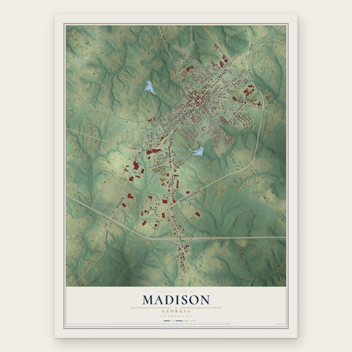
A new map of Madison, Georgia, made in 2026 and printed to order on thick archival matte paper.
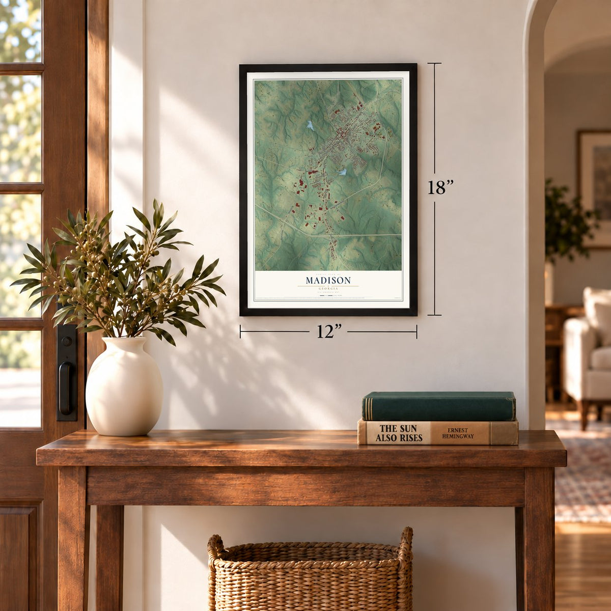
12" x 18" Archival Matte Print
A Map of Home. A Work of Art.
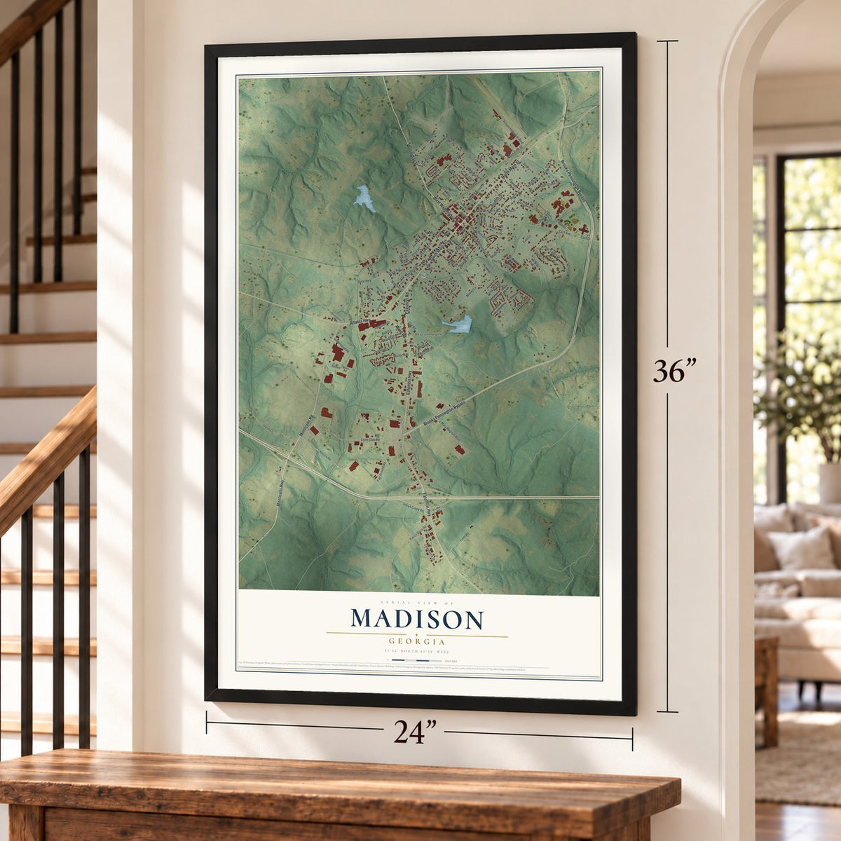
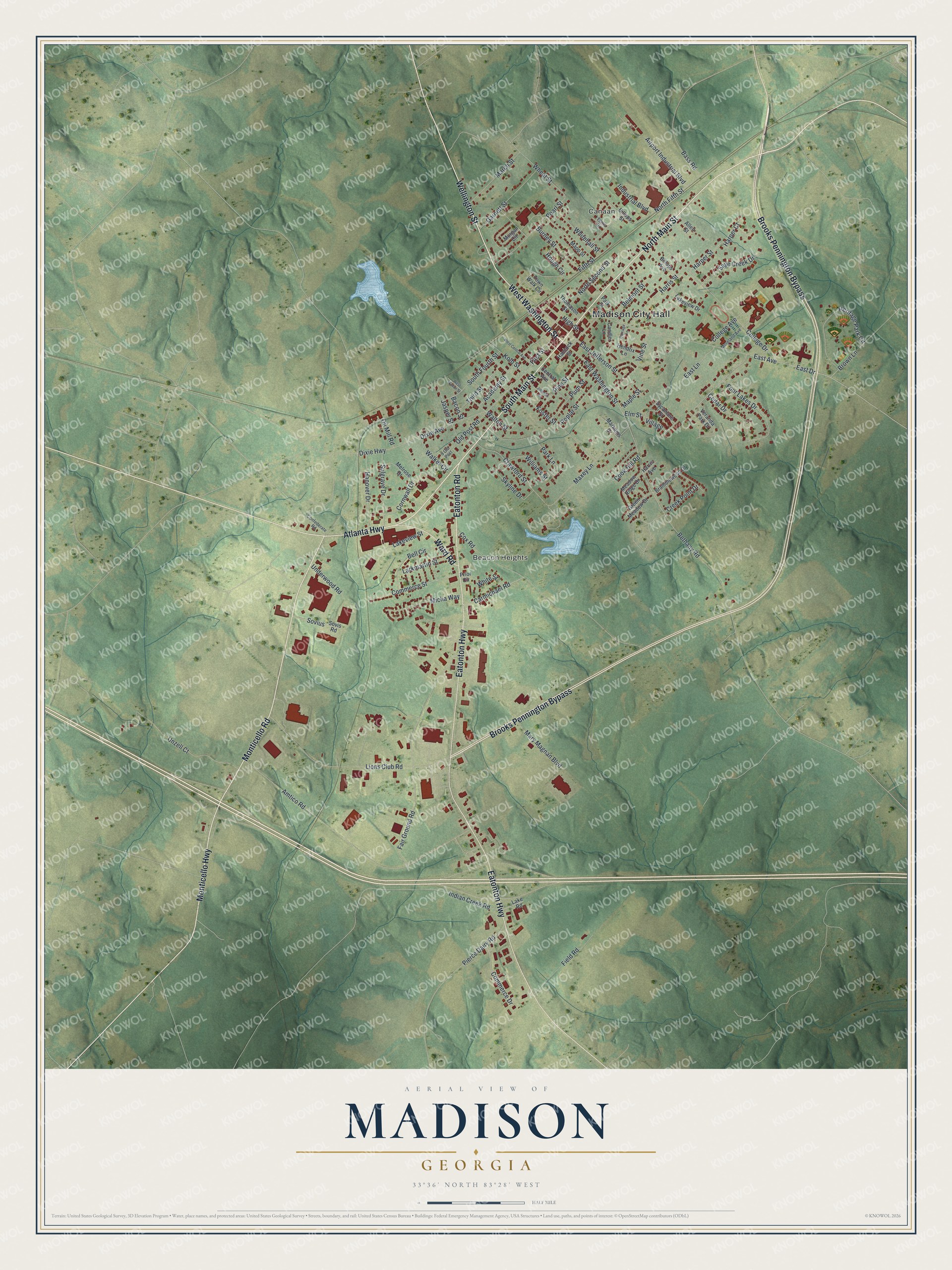
Explore Madison, Georgia from a whole new perspective. Created using aerial imagery and detailed geographic data, this map captures Madison building by building, with labeled streets, familiar landmarks, and shaded topographical relief that highlights the natural contours of the landscape.
Combining modern data with the timeless character of a vintage atlas, this map is just as interesting up close as it is beautiful on the wall. Whether you grew up in Madison, spent memorable years there, or call it home today, this unique map is a great way to celebrate a place that means something to you. Zoom in on the preview to look for your street, and then order a print to put your memories on the wall.
Three ways to hang it
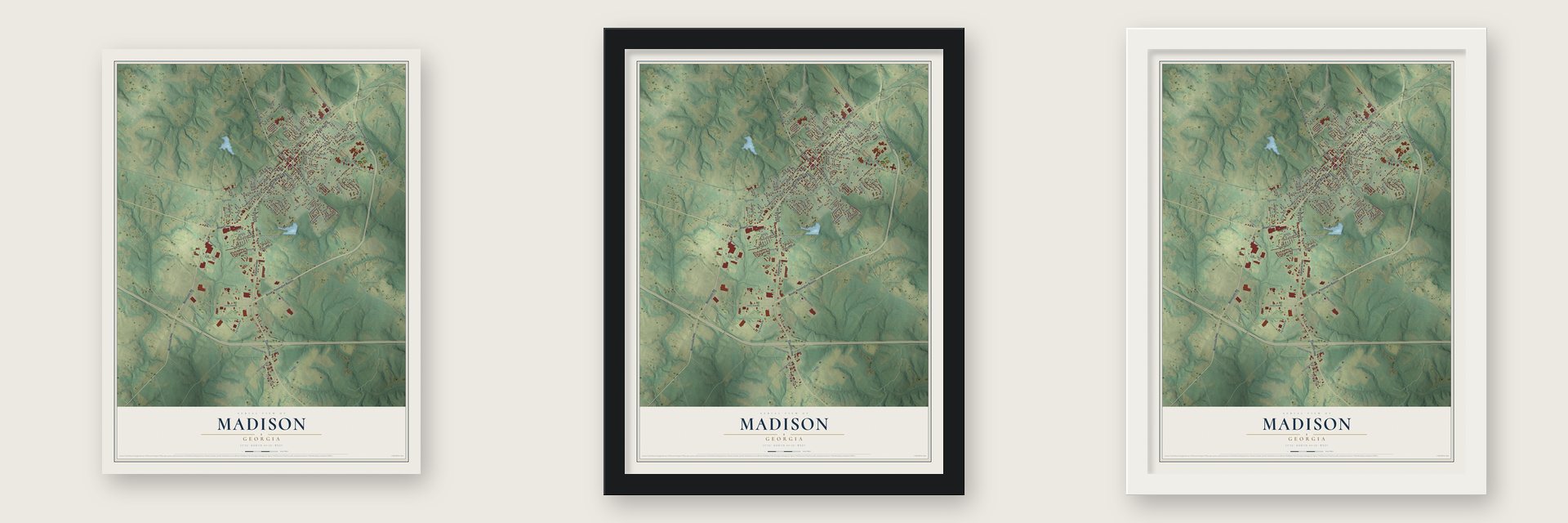
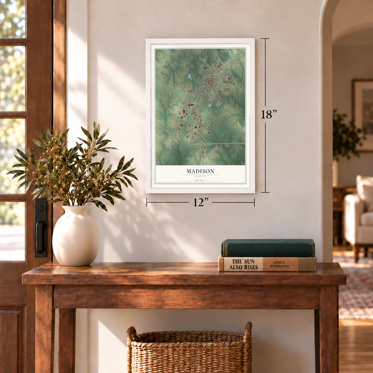
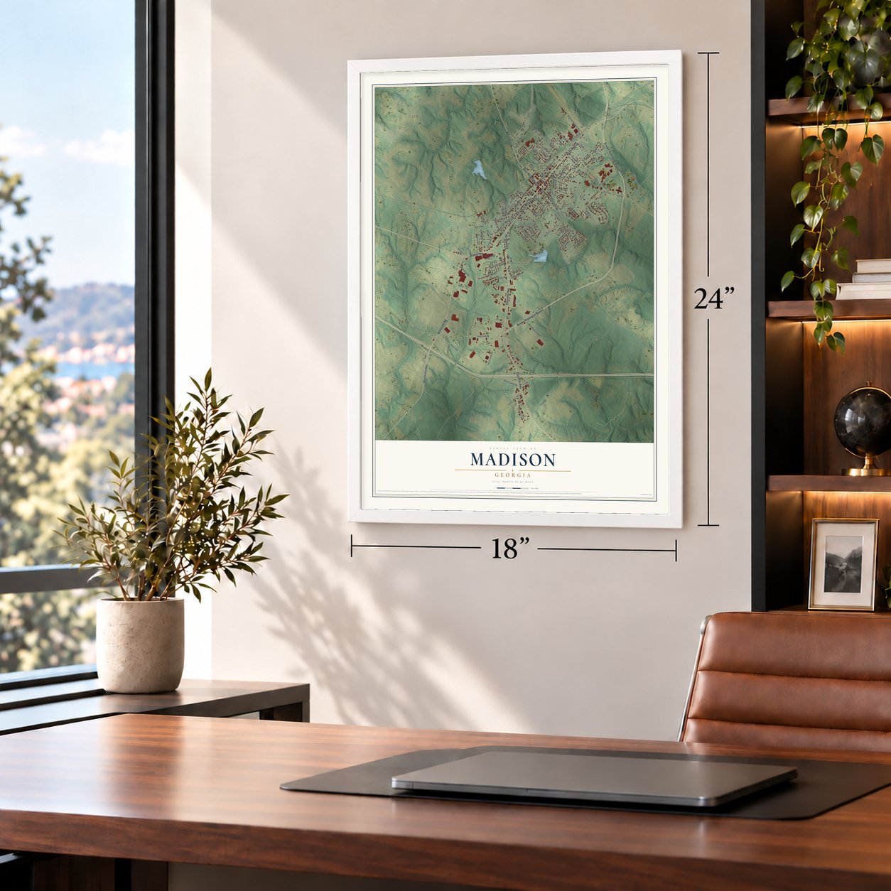
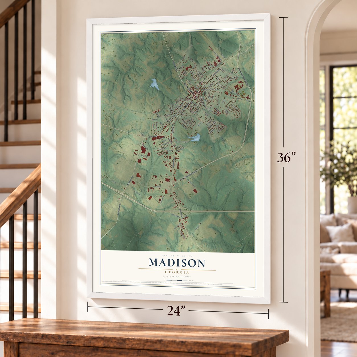
Unframed archival matte, a black wood frame or a white wood frame.
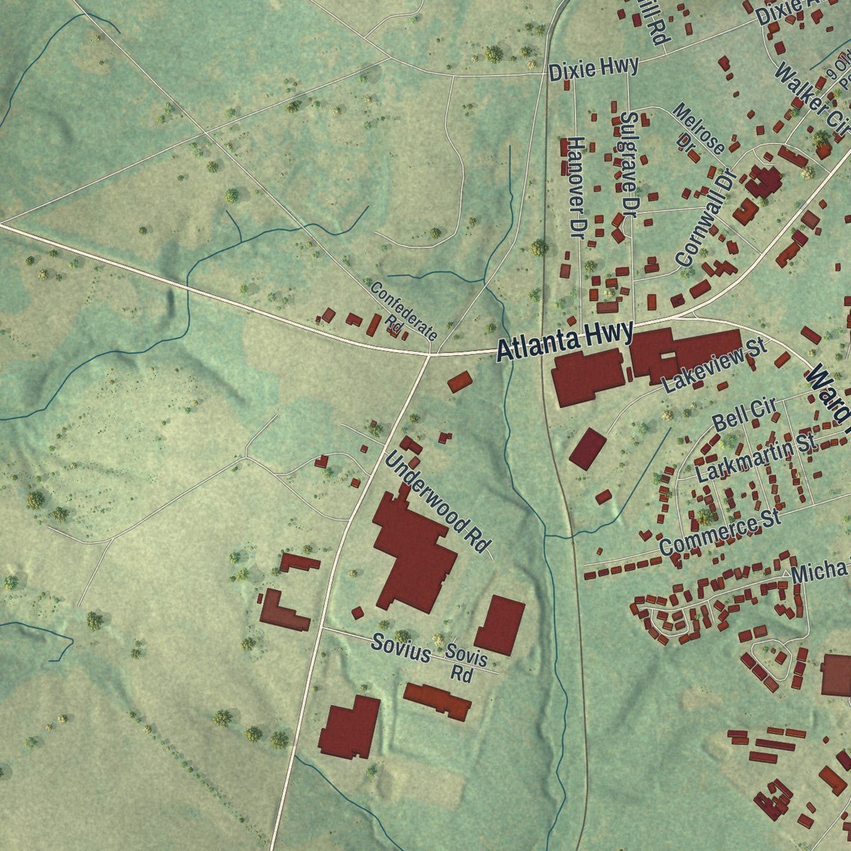
Up close
Geography Worth Displaying
This map was created using accurate cartographic data and authoritative geographic sources, including the U.S. Geological Survey (USGS) and FEMA. The map brings together terrain, waterways, roads, and building detail. The majority of the streets are labeled, houses are accurately depicted, and the topography is derived from government sources. Combining local data with carefully composed color and shading leads to this beautifully detailed Madison artwork for your wall.
Rather than simply showing street outlines, we’ve included as many of the street names as we could reasonably fit on the map while keeping their names legible. Zoom in on the high resolution preview to see exactly what’s on the map. We truly set out to create a statement piece for anyone who loves Madison. So whether it’s for you, or a gift for someone you love, we hope this map of Madison brings back fond memories.
Explore the full map of Madison, Georgia and read about the local places it shows.

About Madison, Georgia
Madison is a city of 4,447 people and the county seat of Morgan County, where it sits on a ridge that runs across the county. The town was incorporated on December 12, 1809, and took its name from James Madison, the fourth president. Its cotton boom ran from 1840 to 1860, and nearly 100 antebellum houses from those years and earlier survive, many of them restored, inside one of Georgia's largest historic districts.
A popular story says William Tecumseh Sherman left Madison standing on his March to the Sea because it was too lovely to burn. The likelier reason was politics. Madison was the home of Joshua Hill, a pro-Union congressman who had quit his seat rather than back secession and later became a senator. Hill had ties to Sherman's brother in the House of Representatives, and the town was spared.
“the most cultured and aristocratic town on the stagecoach route from Charleston to New Orleans.”
- Bonar Hall and the cotton boomBonar Hall was among the earliest of the large Federal-style houses that went up in Madison during its cotton years, from 1840 to 1860. It still stands, and the Madison Historic District around it is on the National Register and draws most of the town's visitors.
- A busy factory town in 1895By 1895 Madison had an oil mill worth $35,000, soap and fertilizer factories, four steam ginneries, a furniture factory, an ice plant, a cannery and a distillery that could make 120 gallons a day, along with a bank holding $75,000 in capital. One of its two carriage factories belonged to H. R. Goldwire, a leading African-American businessman.
- Heritage Hall, built in 1811The oldest part of Heritage Hall dates to 1811, and around 1830 the house was given its Greek Revival front. It stayed a private home until 1977, and the Morgan County Historical Society has since restored it for its architecture and its history.
- Unplugged in 1991The Madison-Morgan Cultural Center fills a restored Romanesque Revival building from 1895 in the middle of the historic district, with art, performances and an exhibit on Georgia's Piedmont. In 1991 the Athens band R.E.M. taped its MTV Unplugged show there and was joined by the Atlanta Symphony Orchestra on "Losing My Religion."
Find your street
Names on the Madison map
Every name below is printed on this map. Look for your street, your school, the park where you played, or the pond down the road.
Places and landmarks4
- Madison City Hall
- Canaan
- Beacon Heights
- Hill Park
Streets and roads124
- South Main Street
- North Main Street
- Atlanta Highway
- Wellington Street
- West Washington Street
- Eatonton Road
- Monticello Highway
- Monticello Road
- Brooks Pennington Bypass
- Eatonton Highway
- Ward Road
- East Washington Street
- East Avenue
- College Drive
- Four Lakes Drive
- Micha Way
- Old Post Road
- Williams Street
- Sovius
- First Street
- East Drive
- Amtico Road
- Fair Ground Road
- Lions Club Road
- Indian Creek Road
- Heritage Park Circle
- Unzell Court
- Maxey Lane
- Academy Street
- Foster Street
Show all 124 streets
- Bass Road
- Bethany Road
- Fifth Street
- Pearl Street
- Crawford Street
- Park Lane
- Airport Industrial Boulevard
- East Jefferson Street
- Commerce Street
- North Second Street
- Dixie Avenue
- North Fifth Street
- Burney Street
- Garnett Street
- Brown Lane
- Cornwall Drive
- Harris Street
- Pine Street
- Hanover Drive
- Sulgrave Drive
- South Fourth Street
- Vine Street
- Bell Circle
- Belmont Street
- March Street
- Pierce Dairy Road
- Saye Creek Drive
- Walton Street
- Mary Magnan Boulevard
- Commerce Drive
- Cedar Drive
- Plum Street
- Whitehall Street
- Field Road
- Wheat Street
- Cook Hill Road
- Jasper Street
- Third Street
- Poplar Street
- Skyline Drive
- Lakeview Street
- Larkmartin Street
- Walker Circle
- Carmichael Road
- Harper Street
- Village
- College Avenue
- Cox Road
- Kolb Street
- East Lane
- Underwood Road
- Industrial Boulevard
- Dixie Highway
- Creek Point Drive
- Oil Mill Road
- Maple Street
- White Street
- Harper Court
- Hough Circle
- High Street
- Bacon Street
- Elm Street
- Veranda Park Drive
- Billups Street
- Hancock Street
- Mapp Street
- Sovis Road
- Morgan Circle
- Central Avenue
- Meadow Ridge Drive
- Town Walk Circle
- Bramblewood Drive
- Lakeview Drive
- Billups Avenue
- Prior Circle
- Melrose Drive
- Green Meadow Drive
- Park Street
- Thomason Street
- Sycamore Street
- Allen Street
- Candler Lane
- Hendrix Lane
- Markams Drive
- Lake Road
- Harris Avenue
- Moreland Avenue
- 9 Old Post
- Confederate Road
- Terris Drive
- West Central Avenue
- Johnson Street
- Carriage Lane
- West Walton Street
Names are listed as they appear on the printed map. Zoom into the product photos to find them.
The art of mapping a place
How This Map Was Made
Real places. Remarkable detail. Discover the layers that turn geographic data into a map of home.

The view from above
Aerial imagery reveals the character of the land: woodland, open fields, and the patterns of a place.

The shape of the land
Elevation data brings hills, valleys, and subtle changes in the landscape into view.

The details of home
Roads, waterways, and building footprints come together to make the map feel unmistakably local.

Geography becomes art
Considered color, shading, and typography bring the layers together in a map made for your wall.


Process illustrated with Mendon, Massachusetts. Aerial imagery: USDA NAIP. Terrain: USGS 3D Elevation Program. Map details and finished artwork: KNOWOL.
The Details
About This Print
Choose an archival matte print, or a black or white Ayous wood frame. The archival matte print is unframed.
Select your size and finish above to see the matching product image and price.
Materials & Craftsmanship
A contemporary map with the character of a classic atlas, printed on archival matte paper. Optional frames are made from Ayous wood.
Your printed map does not include the watermark shown in the full-map preview.
Shipping & Delivery
Free shipping within the United States. Every print is made to order in the USA.
Buying a gift? Add a note in your cart and we'll include it. We never put prices in the package.
Prints ship within 2 to 3 business days. Allow 7 to 10 days total from ordering for delivery. Timing may vary during holidays or periods of high order volume.
Read our shipping policy.
Returns and damaged prints
Each print is made to order. Change-of-mind refunds are not available after production.
If your print arrives damaged, misprinted or incorrect, contact support@knowol.com within 30 days of receiving it. Include your order number, photos and a description of the issue.
Read our full refund and replacement policy. For questions about your order, email support@knowol.com.
Find your town
Looking for another city?
Find a map of home in our Georgia collection, or any town in the country.
Nearby
Maps of towns near Madison
Know someone from one of these towns? Their map makes a great gift.
 Buckhead
, Georgia
From $39.99See the map
 Rutledge
, Georgia
From $39.99See the map
 Godfrey
, Georgia
From $39.99See the map
More maps nearby: Bostwick, Newborn, Shady Dale, Social Circle and Mansfield.