
Search for another town




Free U.S. delivery 7 to 10 days after you order
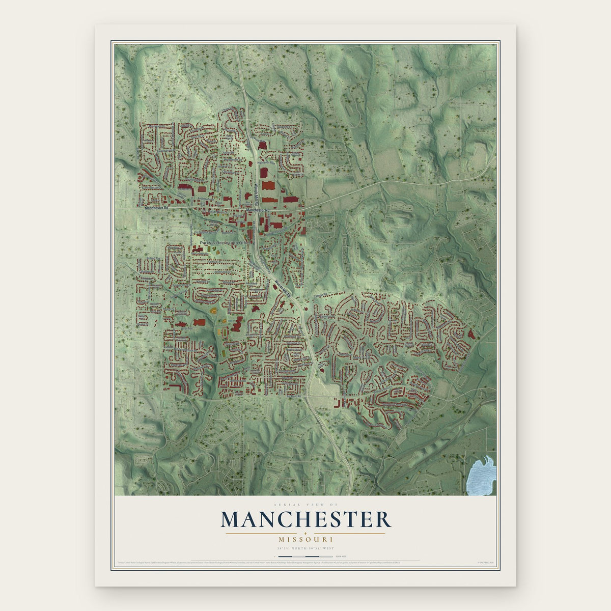
Manchester, Missouri Map Art
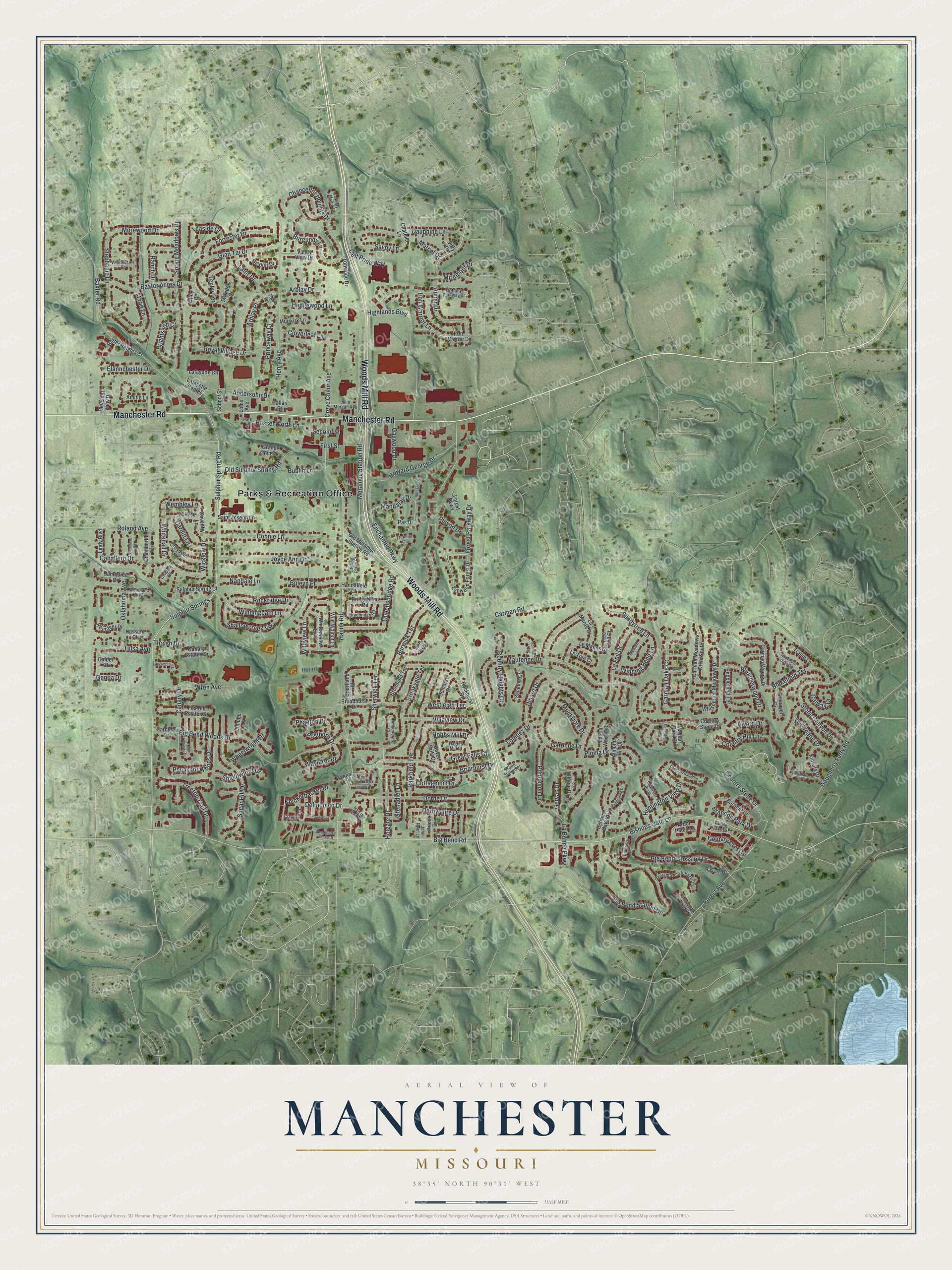
A new map of Manchester, Missouri, made in 2026 and printed to order on thick archival matte paper.
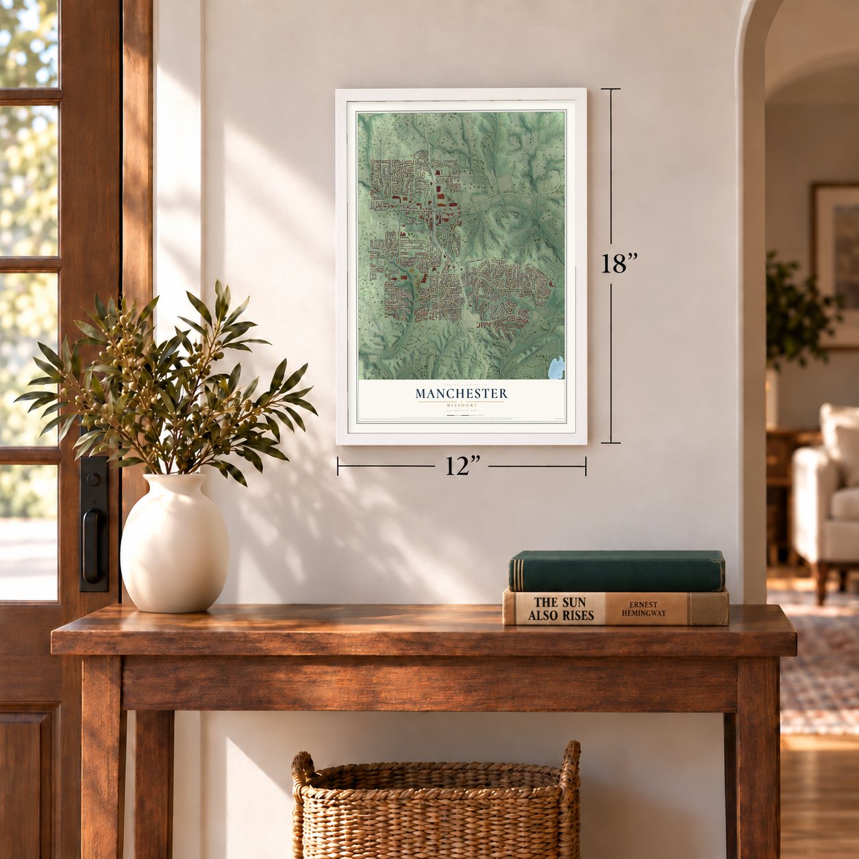
12" x 18" Archival Matte Print
A Map of Home. A Work of Art.
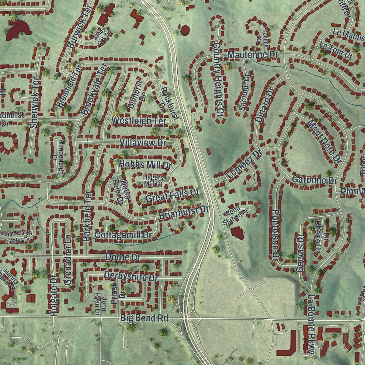
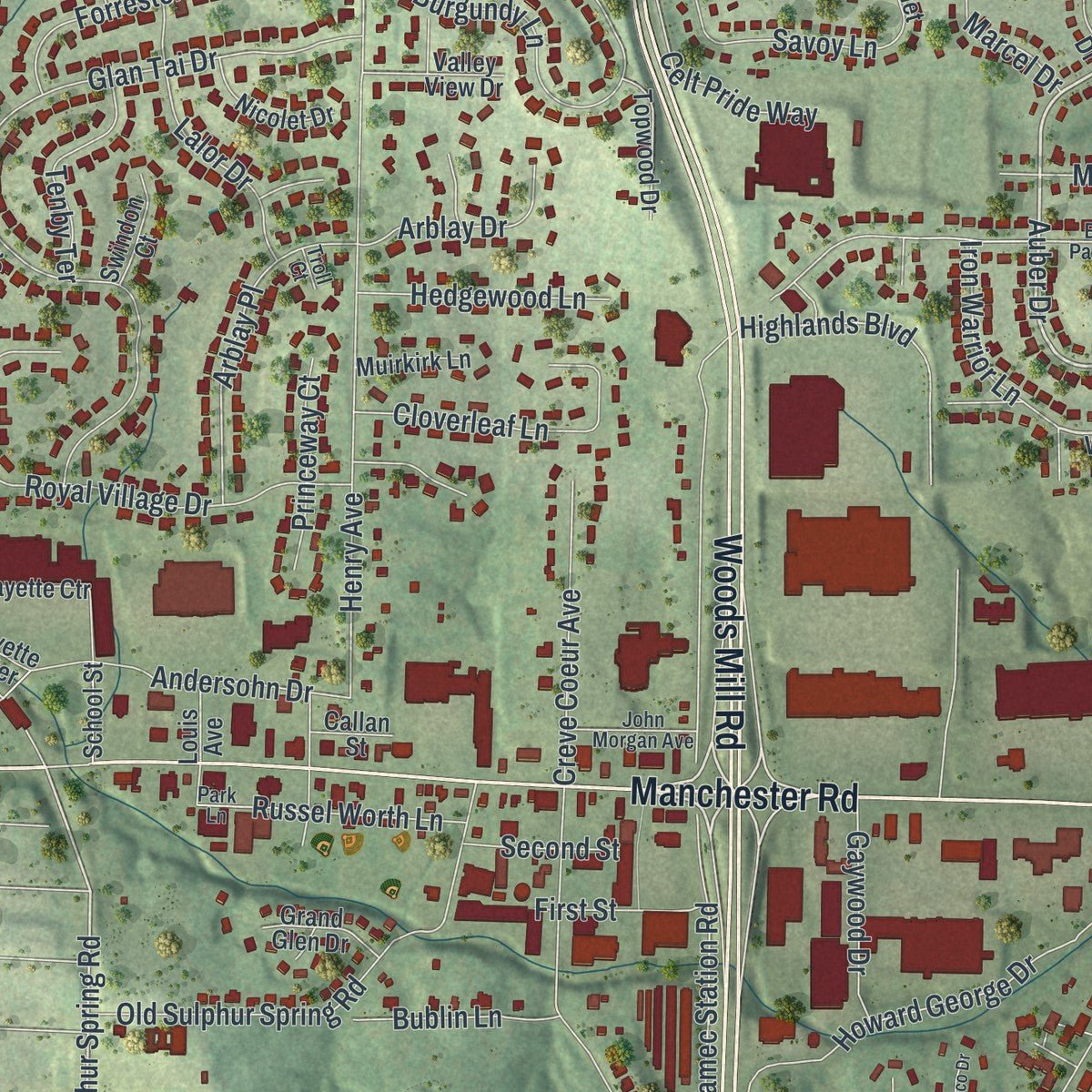
If you grew up off Manchester Road or Woods Mill Road, this map puts your part of town on the wall. It's a modern aerial view of Manchester with a vintage feel, in St. Zoom in on the preview and look for your block.
Three ways to hang it
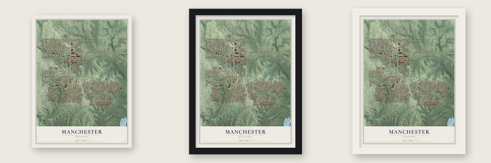
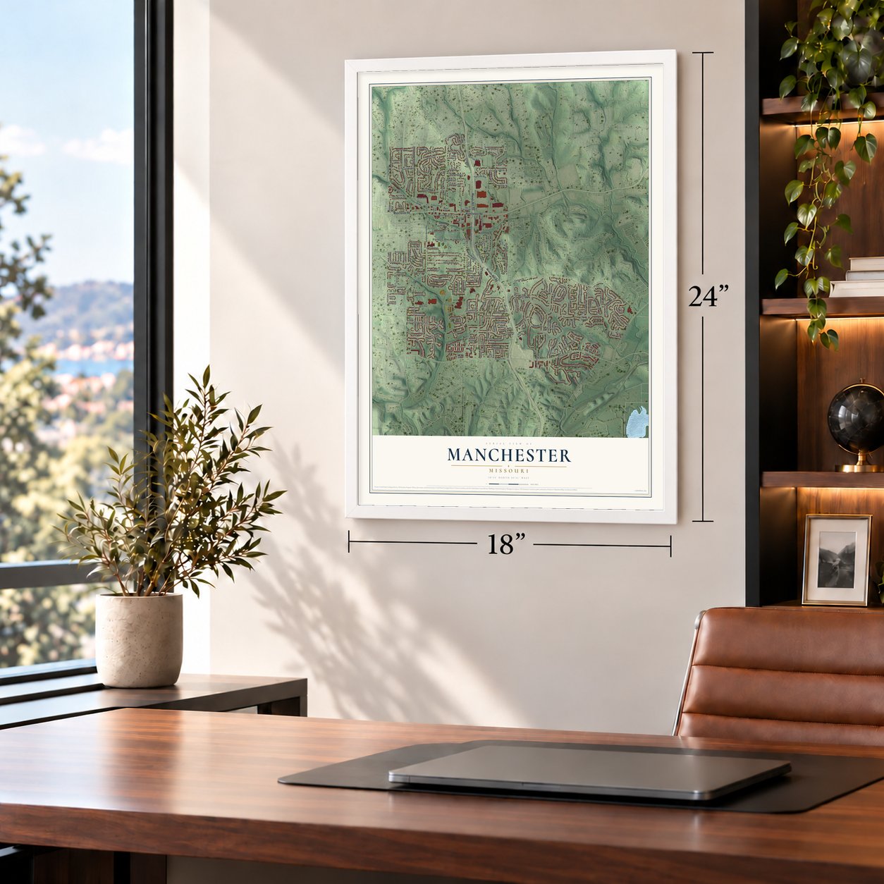
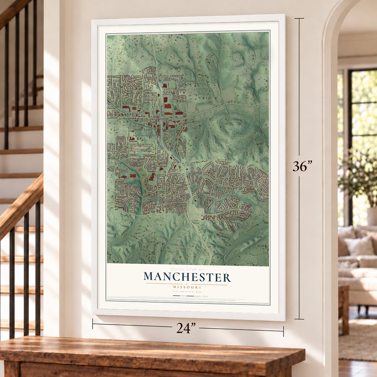
Unframed archival matte, a black wood frame or a white wood frame.
Up close
Real geography. Art worth displaying.
This map was created using accurate cartographic data and authoritative geographic sources, including the U.S. Geological Survey and the Census Bureau. The map brings together terrain, waterways, roads, and building detail. The majority of the streets are labeled, houses are accurately depicted, and the topography is derived from government sources. Combining local data with carefully composed color and shading leads to this beautifully detailed Manchester artwork for your wall.
Rather than simply showing street outlines, we’ve included as many of the street names as we could reasonably fit on the map while keeping their names legible. Zoom in on the high resolution preview to see exactly what’s on the map. We truly set out to create a statement piece for anyone who loves Manchester. So whether it’s for you, or a gift for someone you love, we hope this map of Manchester brings back fond memories.
Read the story behind this map of Manchester, Missouri from 2026.

About Manchester, Missouri
Manchester is a city in St. Louis County, Missouri, and the 2020 census recorded 18,333 residents. Its documented milestones and familiar places connect the present-day community with earlier generations. Together, those records give Manchester a distinct place in the story of St. Louis County.
- 18,333 peopleThe 2020 census recorded 18,333 residents in Manchester.
- St. Louis CountyManchester is a city in St. Louis County, Missouri.
- Incorporated in 1950Manchester became an incorporated community in 1950.
- 5.08 square milesThe Census Bureau reports a total area of 5.08 square miles.
- National Register landmarkManchester Methodist Episcopal Church entered the National Register in 1983.
Find your street
Names on the Manchester map
Every name below is printed on this map. Look for your street, your school, the park where you played, or the pond down the road.
Places and landmarks1
- Parks & Recreation Office
Streets and roads236
- Woods Mill Road
- Manchester Road
- Auber Drive
- Sulphur Springs
- Iron Warrior Lane
- Holgate Drive
- Wembley Lane
- Big Bend Road
- Sulphur Spring Road
- Whitehall Drive
- Carman Road
- Meramec Station Road
- Hanna Road
- La Bonne Parkway
- Enchanted Parkway
- Henry Avenue
- Bishops Gate Lane
- Country Stone Drive
- Glan Tai Drive
- Mautenne Drive
- Baxter Road
- Big Bend Woods Drive
- Big Bend Station Drive
- Forest Parkway Drive
- Spring Meadows Drive
- Windingpath Lane
- Sugar Hill Drive
- Big Bend Crossing Drive
- Burgundy Lane
- Howard George Drive
Show all 236 streets
- Parkfield Terrace
- Brookvale Terrace
- Canary Drive
- Highlands Boulevard
- Royal Village Drive
- Dauphine Lane
- Briarhurst Drive
- Connie Lane
- Joyce Ann Drive
- Old Sulphur Spring Road
- Stone Canyon Drive
- Blakefield Terrace
- Dorne Drive
- Carman Oaks Court
- Stephanie Lane
- Forest Avenue
- La Feil Drive
- Wren Avenue
- Marie Lane
- Queensbridge Road
- Ranch Drive
- Baxter Acres Drive
- Garonne Drive
- Dougherty Ferry Road
- Chancellor Heights Drive
- Rockridge Drive
- Lalor Drive
- Pheasant Woods Drive
- Burwick Terrace
- Treetop Trail Drive
- Cloverleaf Lane
- Country Crest Drive
- Gervas Drive
- Pontoison Drive
- Arblay Place
- Country Hill Lane
- Dinard Drive
- Forrester Drive
- Villaview Drive
- Andersohn Drive
- Sherwick Terrace
- Shallowcreek Vw
- Weatherwood Drive
- Oklahoma Avenue
- Huntington View Drive
- Creve Coeur Avenue
- Derbyshire Drive
- Celt Pride Way
- Caballero Drive
- Country Heights Court
- Morewood Drive
- Winding Bend Lane
- Boleyn Place
- Russel Worth Lane
- Brightsand Court
- Award Drive
- Cottagemill Drive
- Sunnytree Lane
- Ploma Drive
- Roland Avenue
- Hedgewood Lane
- Posthorn Drive
- Brandon Park Drive
- Tenby Terrace
- Lombez Drive
- Savoy Lane
- Grenadier Lane
- Mandalay Drive
- Gaywood Drive
- Shallowford Drive
- Tulsa Avenue
- Mont Dore Drive
- Miremont Drive
- Leaside Court
- Wheelwright Drive
- Princeway Court
- Elannchester Drive
- Phaeton Drive
- Bublin Lane
- Knickerbacker Drive
- Wayfarer Drive
- Delmonico Drive
- Cardiff Lane
- Westleigh Terrace
- Nandale Lane
- Galway Drive
- First Street
- Hobbs Mill Drive
- Arblay Drive
- Marcel Drive
- Wicklow Drive
- Great Falls Court
- Derrynane Drive
- Pinyon Drive
- Second Street
- Wildview Lane
- Genoa Drive
- Thrush Drive
- Iron Warrior Drive
- Old Meramec Station Road
- Lynwood Forest Drive
- Bromfield Terrace
- Century Oaks Drive
- Carman Woods Drive
- Baxter Heights Court
- Whispering Meadows Drive
- Kinsale Drive
- Carman Meadows Drive South
- Le Manns Drive
- Broadhurst Drive
- Lafayette Ctr
- Courtland Place
- Pebblefield Terrace
- Sulphur Spring Court
- Baronet Drive
- Bridgebend Road
- Reindeer Drive
- Coventry Lane
- Croydon Lane
- Jamboree Drive
- Whitewillow Lane
- Rockhurst Drive
- Hannafield Court
- Totem Woods Court
- Samone Court
- Forest Parkway
- Wild Walnut Lane
- Saint Joseph Lane
- Lindy Boulevard
- Canary Estates Drive
- Arbor Place Lane
- Topwood Drive
- Dover Falls Drive
- Almond Hill Court
- La Marite Drive
- Delhurst Drive
- Nicolet Drive
- Amitie Lane
- Valley View Drive
- Chamberlin Drive
- Fox Hill Estates Drive
- La Cherie Drive
- Tralee Lane
- Pleasant View Drive
- Dunraven Drive
- Grand Glen Drive
- Priest Drive
- Louis Avenue
- Lafayette Center
- Swindon Court
- Muirkirk Lane
- Cardinal Lane
- Chatelet Lane
- Le Tour Court
- Country Stone Court
- Gayola Drive
- Mayfair Park Court
- Hassam Court
- School Street
- Tree Hill Court
- Limoge Drive
- Vitry Drive
- Callan Street
- Pas Drive
- Calder Court
- Hanna Court
- Otley Court
- Brittany Parkway Drive
- Woodland Hill Court
- Hanna Bend Court
- Georgetowne Village Drive
- Imperial Point
- Braebridge Road
- Claygate Court
- Warwick Lane
- John Morgan Avenue
- Stirling Place Court
- Timberleigh Court
- Whitewater Drive
- Falling Oaks Drive
- Memoir Lane
- Park Lane
- Charleston Place Court
- Wood Station Place
- Arbor Pointe Drive
- Henry Manor Court
- Hagers Mill Court
- Treeline Court
- Chappel Court
- John Ryan Lane
- Troll Court
- Westbrooke Village Drive
- Conestoga Drive
- Woodmore Oaks Drive
- Alfresco Drive
- Connemara Drive
- Heron Woods Drive
- Chestnut Ridge Road
- Hanna Valley Estates Drive
- Sandpointe Court
- Sandy Oak Drive
- Larksmore Court
- Somme Court
- Caballero Court
- Dalton Terrace
- King George Court
Names are listed as they appear on the printed map. Zoom into the product photos to find them.
The art of mapping a place
How This Map Was Made
Real places. Remarkable detail. Discover the layers that turn geographic data into a map of home.

The view from above
Aerial imagery reveals the character of the land: woodland, open fields, and the patterns of a place.

The shape of the land
Elevation data brings hills, valleys, and subtle changes in the landscape into view.

The details of home
Roads, waterways, and building footprints come together to make the map feel unmistakably local.

Geography becomes art
Considered color, shading, and typography bring the layers together in a map made for your wall.


Process illustrated with Mendon, Massachusetts. Aerial imagery: USDA NAIP. Terrain: USGS 3D Elevation Program. Map details and finished artwork: KNOWOL.
The Details
About This Print
Choose an archival matte print, or a black or white Ayous wood frame. The archival matte print is unframed.
Select your size and finish above to see the matching product image and price.
Materials & Craftsmanship
A contemporary map with the character of a classic atlas, printed on archival matte paper. Optional frames are made from Ayous wood.
Your printed map does not include the watermark shown in the full-map preview.
Shipping & Delivery
Free shipping within the United States. Every print is made to order in the USA.
Buying a gift? Add a note in your cart and we'll include it. We never put prices in the package.
Prints ship within 2 to 3 business days. Allow 7 to 10 days total from ordering for delivery. Timing may vary during holidays or periods of high order volume.
Read our shipping policy.
Returns and damaged prints
Each print is made to order. Change-of-mind refunds are not available after production.
If your print arrives damaged, misprinted or incorrect, contact support@knowol.com within 30 days of receiving it. Include your order number, photos and a description of the issue.
Read our full refund and replacement policy. For questions about your order, email support@knowol.com.
Find your town
Looking for another city?
Find a map of home in our Missouri collection.
Nearby
Maps of towns near Manchester
Know someone from one of these towns? Their map makes a great gift.
 Winchester
, Missouri
From $39.99See the map
 Twin Oaks
, Missouri
From $39.99See the map
 Valley Park
, Missouri
From $39.99See the map
More maps nearby: Ballwin, Des Peres, Town and Country, Country Life Acres and Ellisville.