
Search for another town
Free U.S. delivery 7 to 10 days after you order
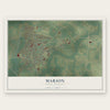
Marion, South Carolina Map Art
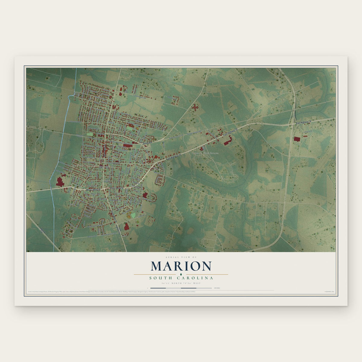
Building by building, with labeled streets and shaded relief.
12" x 18" Archival Matte Print
A Map of Home. A Work of Art.
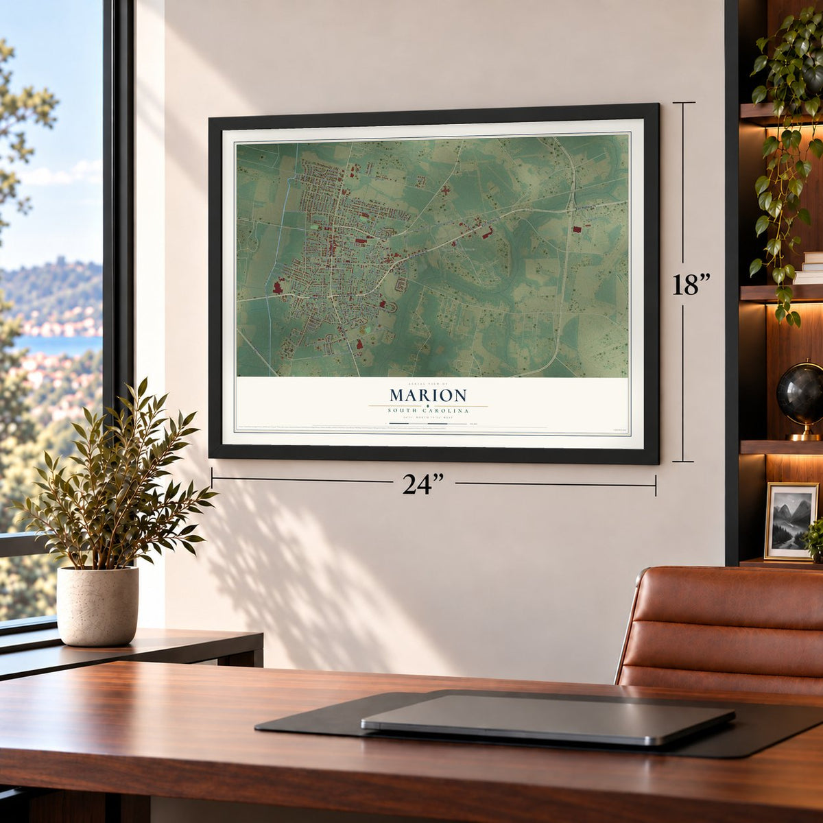
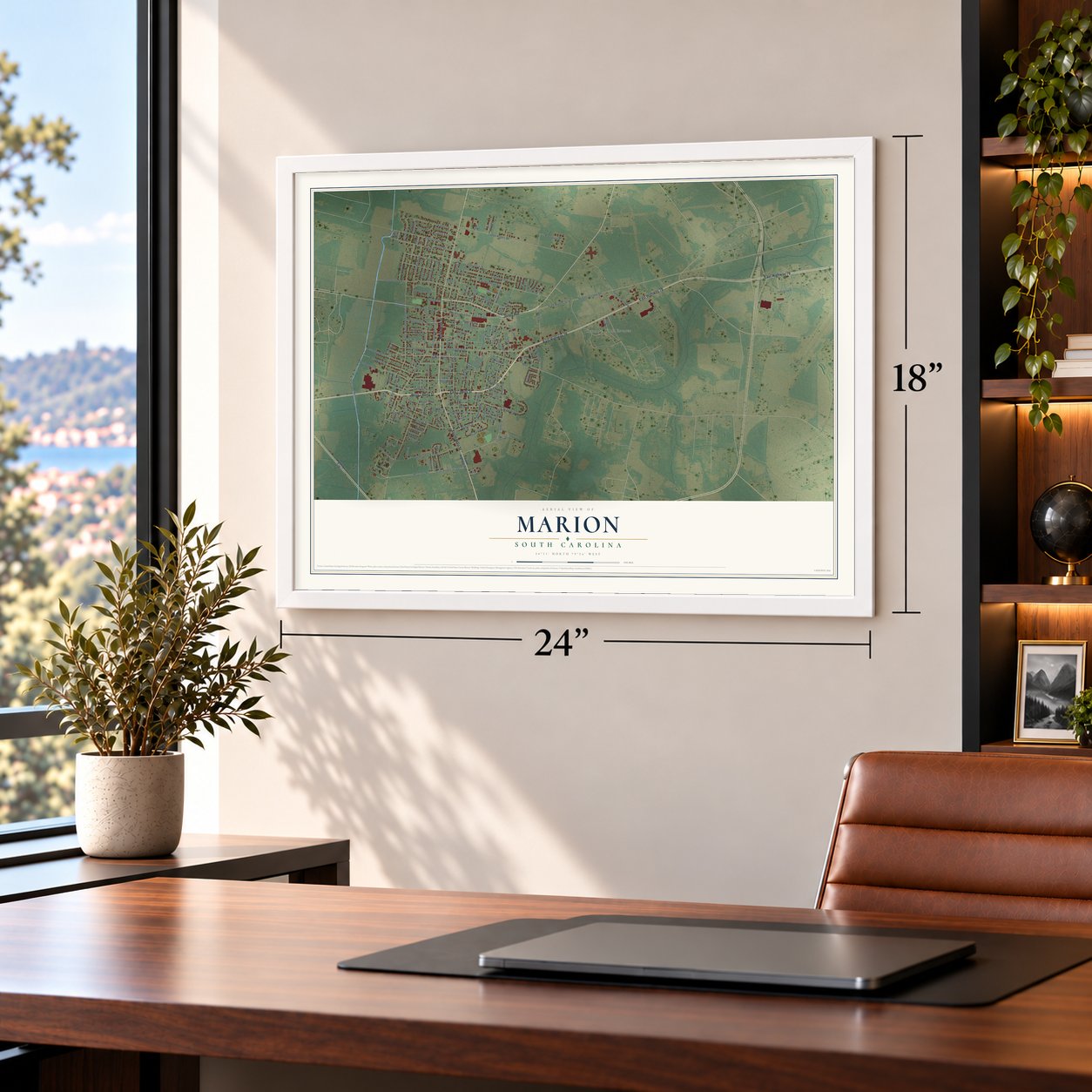
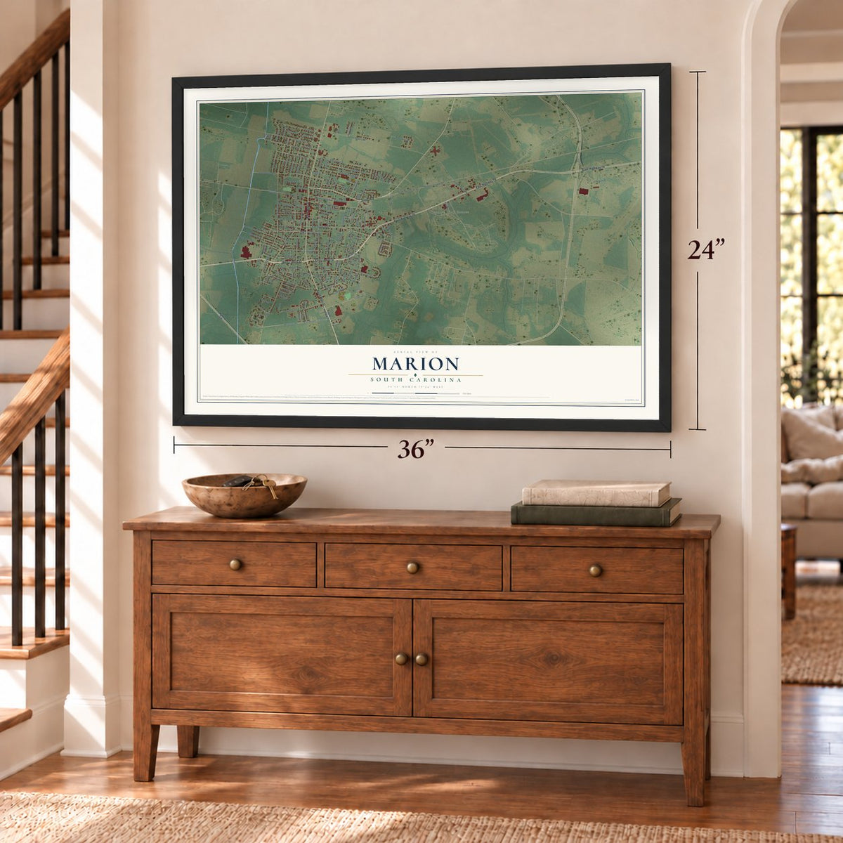
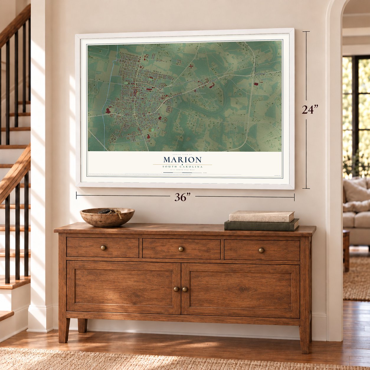
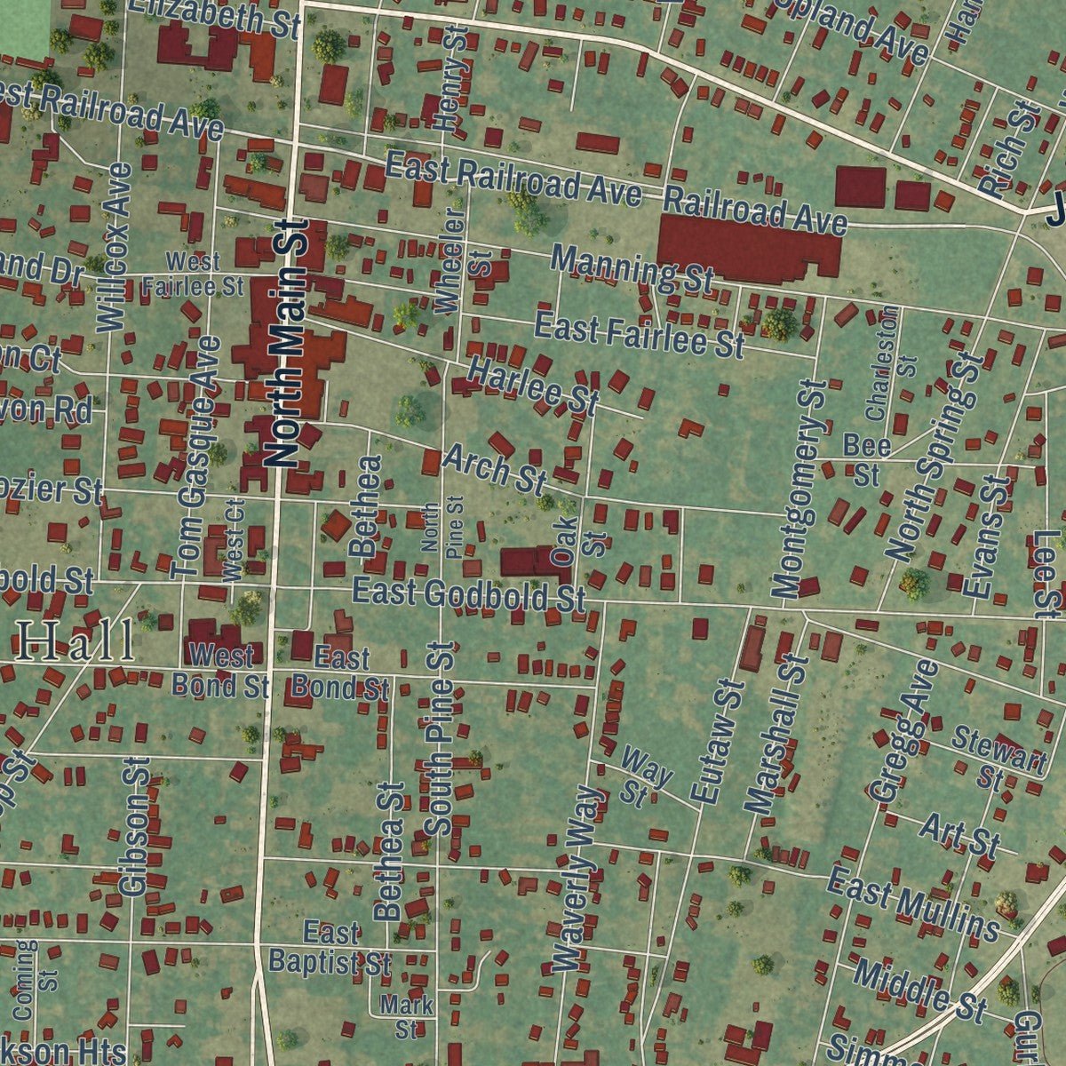
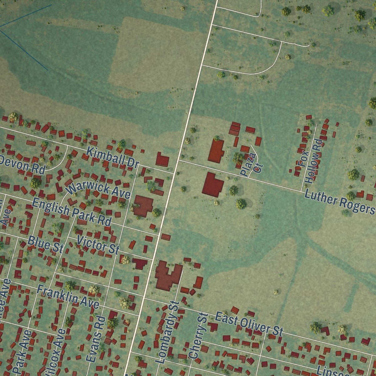
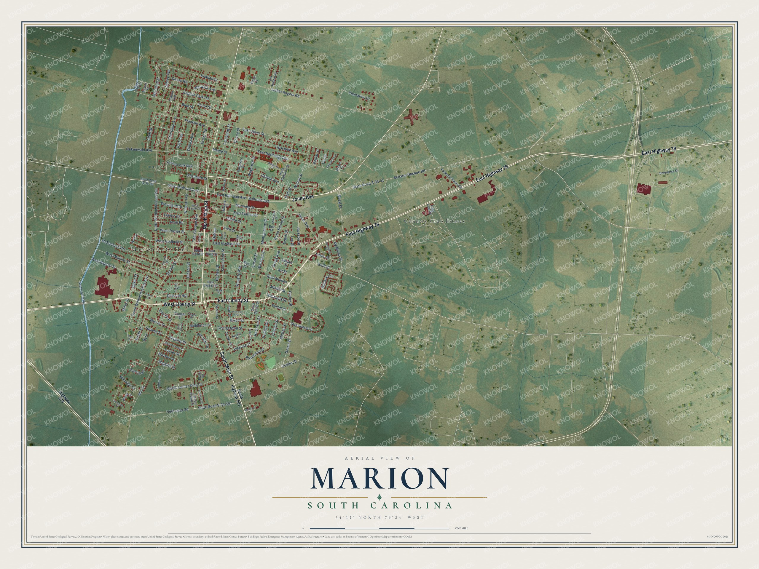
Explore Marion, South Carolina from a whole new perspective. Created using aerial imagery and detailed geographic data, this map captures Marion building by building, with labeled streets, familiar landmarks, and shaded topographical relief that highlights the natural contours of the landscape.
Combining modern data with the timeless character of a vintage atlas, this map is just as interesting up close as it is beautiful on the wall. Whether you grew up in Marion, spent memorable years there, or call it home today, this unique map is a great way to celebrate a place that means something to you. Zoom in on the preview to look for your street, and then order a print to put your memories on the wall.
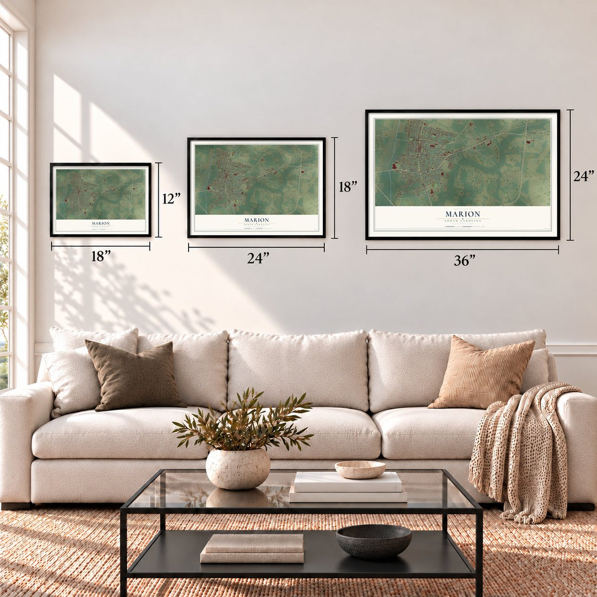
Three ways to hang it
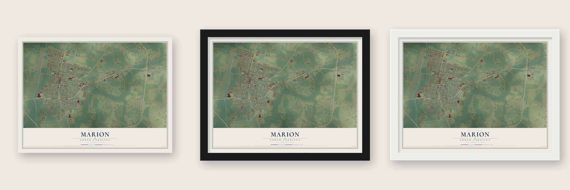
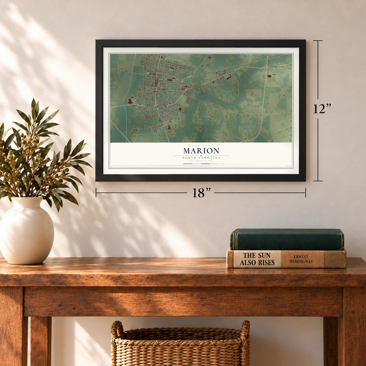
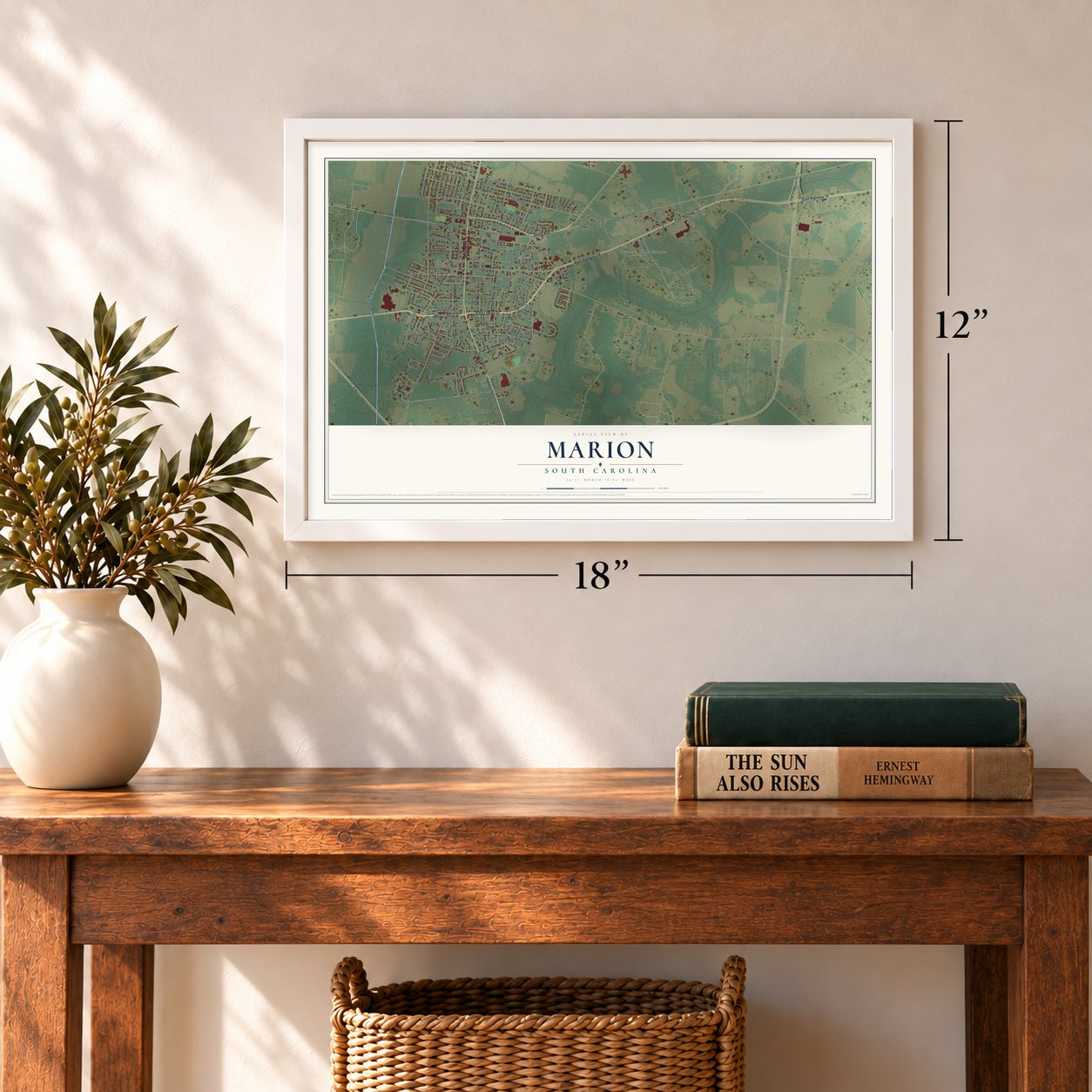
Unframed archival matte, a black wood frame or a white wood frame.
Up close
Geography Worth Displaying
This map was created using accurate cartographic data and authoritative geographic sources, including the U.S. Geological Survey and the Census Bureau. The map brings together terrain, waterways, roads, and building detail. The majority of the streets are labeled, houses are accurately depicted, and the topography is derived from government sources. Combining local data with carefully composed color and shading leads to this beautifully detailed Marion artwork for your wall.
Rather than simply showing street outlines, we’ve included as many of the street names as we could reasonably fit on the map while keeping their names legible. Zoom in on the high resolution preview to see exactly what’s on the map. We truly set out to create a statement piece for anyone who loves Marion. So whether it’s for you, or a gift for someone you love, we hope this map of Marion brings back fond memories.
Read the story behind this map of Marion, South Carolina from 2026.
Find your street
Names on the Marion map
Every name below is printed on this map. Look for your street, your school, the park where you played, or the pond down the road.
Places and landmarks2
- Marion City Hall
- Country Club Estates
Streets and roads170
- Jones Avenue
- South Main Street
- North Main Street
- East Liberty Street
- West Liberty Street
- East Highway 76
- Railroad Avenue
- West Railroad Avenue
- East Railroad Avenue
- Green Street
- Strawberry Street
- West Godbold Street
- Herb Levy Road
- Luther Rogers Road
- East Northside Avenue
- North Withlacoochee Avenue
- State Road S-34-557
- Mill Street
- South Withlacoochee Avenue
- East Godbold Street
- West Baptist Street
- Dunlop Street
- Senator Gasque Road
- State Road S-34-41
- East Oliver Street
- Evans Road
- Oakenwald Avenue
- West Mullins Street
- Manning Street
- East Mullins
Show all 170 streets
- Bluff Street
- Cherokee Avenue
- Blue Street
- Gibson Street
- English Park Road
- Georgetown Street
- Eutaw Street
- Kimball Drive
- Lombardy Street
- South Pine Street
- Willcox Avenue
- McEachern Heights
- Martin Luther King Drive
- Lipscomb Avenue
- Waycross Street
- Upland Avenue
- Gregg Avenue
- Franklin Avenue
- Park Avenue
- Tom Gasque Avenue
- East Fairlee Street
- McMillan Street
- Walnut Street
- Arch Street
- Plantation Drive
- Huggins Street
- Waverly Way
- Elizabeth Street
- Cherry Street
- West Dozier Street
- Dixon Street
- Metal Street
- North Spring Street
- Rosewood Drive
- Murray Street
- Holiday Street
- Harlee Street
- Whitehall Street
- Gurley Street
- Wallace Circle
- Allen Drive
- Smith Street
- Reaves Street
- Montgomery Street
- Wilcox Avenue
- Pickens Street
- Evans Street
- Dickson Heights
- Ashley Avenue
- Jackson Street
- Euclid Street
- Bethea Street
- Devon Road
- Lewis Street
- Woodland Drive
- Marshall Street
- Avon Road
- Victor Street
- Lee Street
- Pee Dee Circle
- Warwick Avenue
- Millridge Court
- Simmons Street
- Baker Street
- Layton Court
- Middleton Street
- McGee Street
- Phillips Street
- Middle Street
- Church Street
- Robinson Street
- Byrd
- Wiggins Street
- Maple Street
- Fowler Street
- Collins Street
- Watson Street
- Poplar Street
- Cedar
- Art Street
- Bethea
- Miles Street
- Rich Street
- South Highway 501
- Highway 576
- West Bond Street
- South Canal Road
- Harmon Park Boulevard
- Palmetto Pointe Road
- Gilchrist Road
- North Hampton Street
- East Bond Street
- Wheat Court
- Cooper Street
- Blake Circle
- Bee Street
- Dogwood Drive
- State Road S-34-38
- Mason Court
- Cartrell Brown Drive
- Fox Hollow Road
- Oak Street
- Enterprise Drive
- Wheeler Street
- South Spring Street
- East Baptist Street
- Pearl Street
- Spruce Street
- Wall Street
- Bryant Street
- Henry Street
- Leitner Court
- Stewart Street
- Way Street
- Fladger Street
- Sharon Avenue
- Plaza Court
- Long Leaf Road
- Watsonia Street
- Coleman Court
- Second Avenue
- West Pickens Street
- West Fairlee Street
- Charleston Street
- Edgewood Drive
- Beverly Street
- Ernest Drive
- Coming Street
- North Canal Street
- West Court
- Flagler Street
- Mark Street
- Silvertrace Court
- Stackhouse Street
- North Pine Street
- Southwood Drive
- Owens Street
- Saint John Court
- Foxworth Alley
- Floyd Street
Names are listed as they appear on the printed map. Zoom into the product photos to find them.
About Marion, South Carolina
Marion is a city of 6,448 people and the seat of Marion County. One of the first settlers nearby was Captain John Godbold, a retired sea captain from England, who traveled up the Big Pee Dee River and made his home on Catfish Creek, just southwest of today's city limits. The area later took the name Gilesboro, after Colonel Hugh Giles, who fought under Francis Marion in the Revolution, and in 1785 it was called Liberty for a short time.
The state legislature appointed commissioners to choose a site for a court house. Several landowners offered ground, Giles among them, but the commissioners accepted four acres from Thomas Godbold, the captain's grandson. On December 17, 1847, the legislature granted the town a charter under the name Marion, in honor of General Francis Marion.
- Court in a log buildingThe first court was set for the first Monday in March 1800, but the new court house wasn't ready. The judges gathered instead in a log building on Hugh Giles's plantation, roughly two miles below Marion, and for some time people called the place Gilesboro Court House. The court house standing today went up in 1854, the third one built on or near the same site.
- The railroad arrives in 1854By the time the railroad came, Marion already had a Masonic Lodge, built in 1823, and a weekly newspaper, started in 1846. Business and travel improved once the Wilmington and Manchester Railroad was finished in 1854. Its first president was Gen. W.W. Harllee, and Florence, to the west, was named for his daughter. The town of Mullins was named for the second president, Col. William S. Mullins.
- Spared by a flooded riverDuring the Civil War, Sherman's troops reached the Big Pee Dee River while it was at flood stage. They could not get across, so Marion County came through without damage from his army.
- Patriots and LoyalistsThe Revolution split the people of this county. Col. Hugh Giles, Capt. John Dozier and Capt. Stephen Godbold commanded the Patriots, and the Loyalists followed Maj. Micajah Ganey and Capt. Jessee Barfield. General Francis Marion's campaigns in the area won most of the Loyalists over before the war ended, and the county saw fighting at Port's Ferry, Blue Savannah and Bowling Green.
Keep exploring South Carolina
Marion is one of 540 South Carolina towns we've mapped. Every dot on the map is a print of its own.
The search covers every state, South Carolina first.
Near Marion
Order 2 or more town maps and save 10%. Shown in the size and finish you picked above, so they hang as a set.
- Rains 12" x 18" / Archival Matte Print $39.99
- Zion 12" x 18" / Archival Matte Print $39.99
- Mullins 12" x 18" / Archival Matte Print $39.99
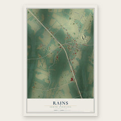
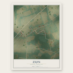
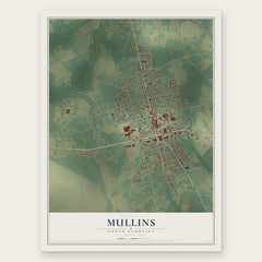
More maps nearby: Sellers, Floydale, Centenary, Latta and Ketchuptown.
The art of mapping a place
How This Map Was Made
Real places. Remarkable detail. Discover the layers that turn geographic data into a map of home.

The view from above
Aerial imagery reveals the character of the land: woodland, open fields, and the patterns of a place.

The shape of the land
Elevation data brings hills, valleys, and subtle changes in the landscape into view.

The details of home
Roads, waterways, and building footprints come together to make the map feel unmistakably local.

Geography becomes art
Considered color, shading, and typography bring the layers together in a map made for your wall.


Process illustrated with Mendon, Massachusetts. Aerial imagery: USDA NAIP. Terrain: USGS 3D Elevation Program. Map details and finished artwork: KNOWOL.
The Details
About This Print
Choose an archival matte print, or a black or white Ayous wood frame. The archival matte print is unframed.
Select your size and finish above to see the matching product image and price.
Materials & Craftsmanship
A contemporary map with the character of a classic atlas, printed on archival matte paper. Optional frames are made from Ayous wood.
Your printed map does not include the watermark shown in the full-map preview.
Shipping & Delivery
Free shipping within the United States. Every print is made to order in the USA.
Buying a gift? Add a note in your cart and we'll include it. We never put prices in the package.
Prints ship within 2 to 3 business days. Allow 7 to 10 days total from ordering for delivery. Timing may vary during holidays or periods of high order volume.
Read our shipping policy.
Returns and damaged prints
Each print is made to order. Change-of-mind refunds are not available after production.
If your print arrives damaged, misprinted or incorrect, contact support@knowol.com within 30 days of receiving it. Include your order number, photos and a description of the issue.
Read our full refund and replacement policy. For questions about your order, email support@knowol.com.