
Search for another town
Free U.S. delivery 7 to 10 days after you order
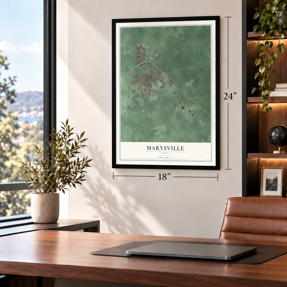
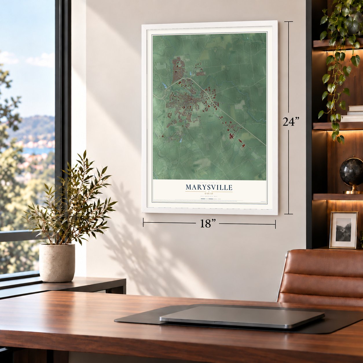
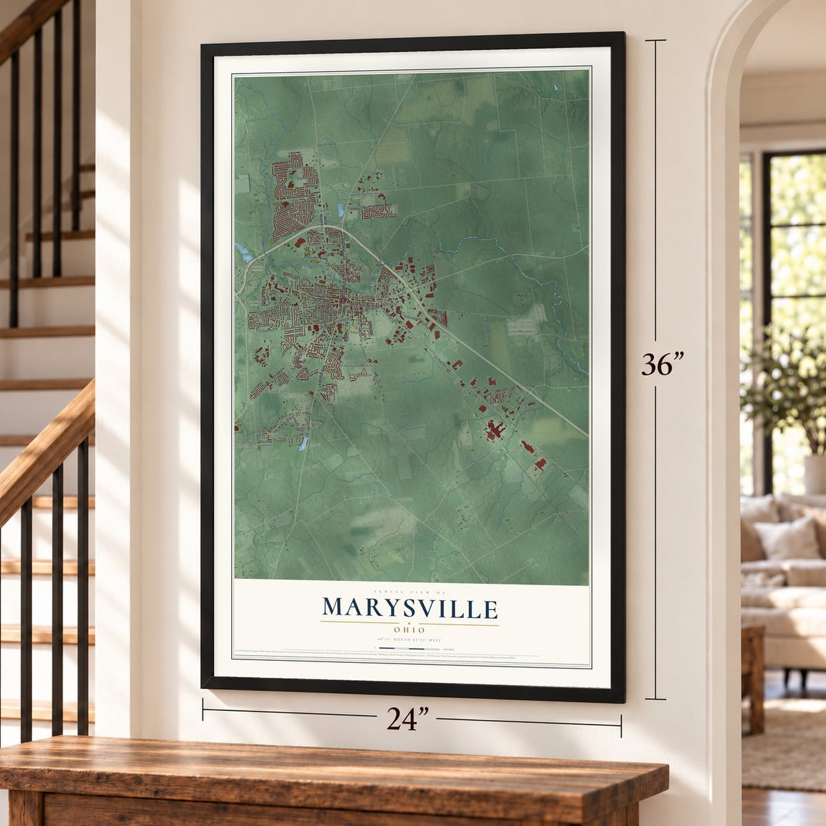
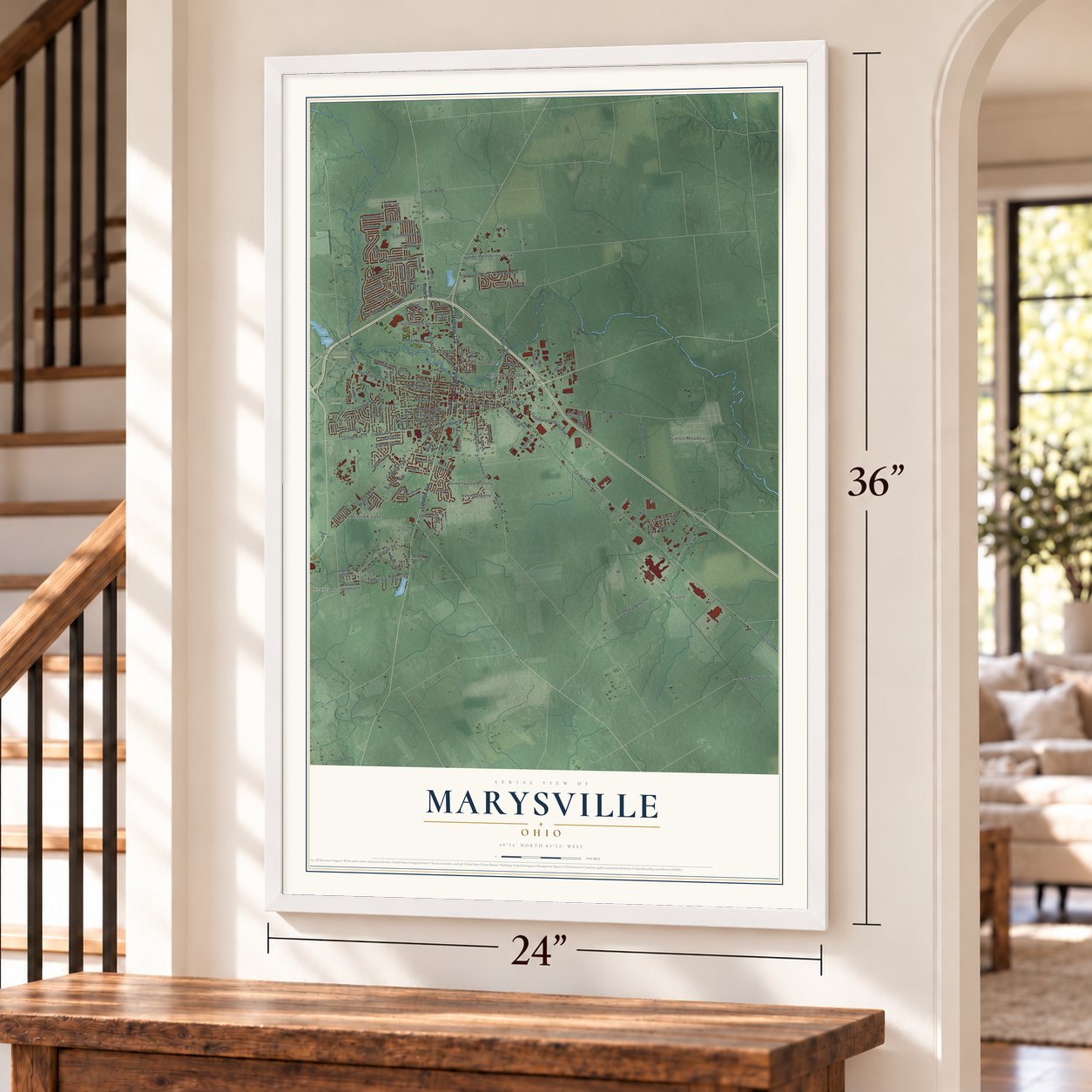
Marysville, Ohio Map Art
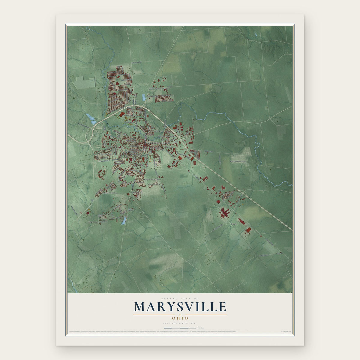
Building by building, with labeled streets and shaded relief.
12" x 18" Archival Matte Print
A Map of Home. A Work of Art.
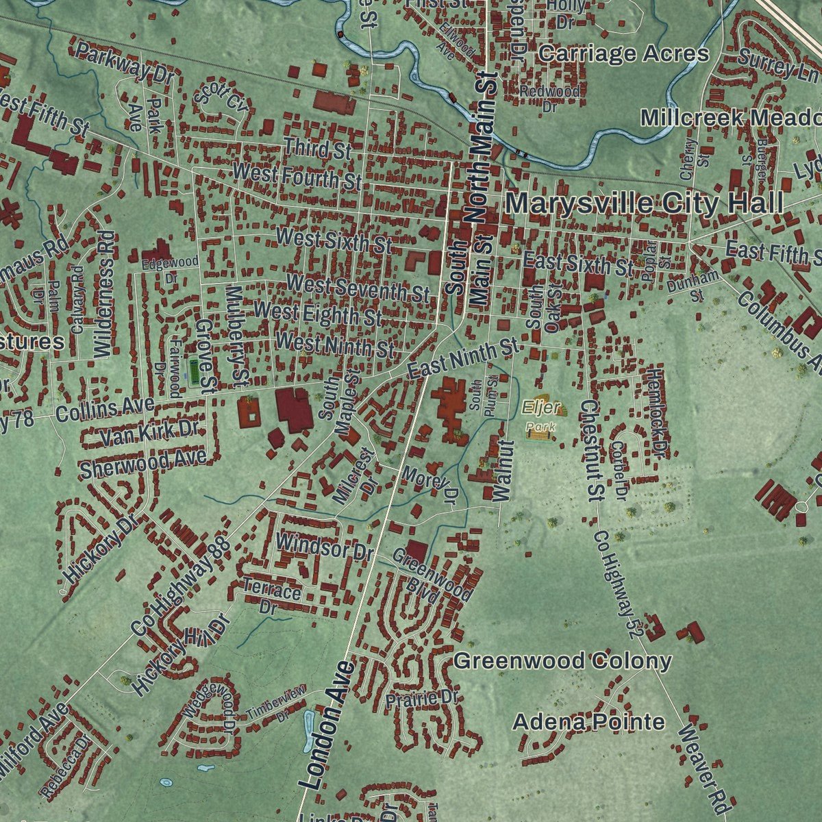
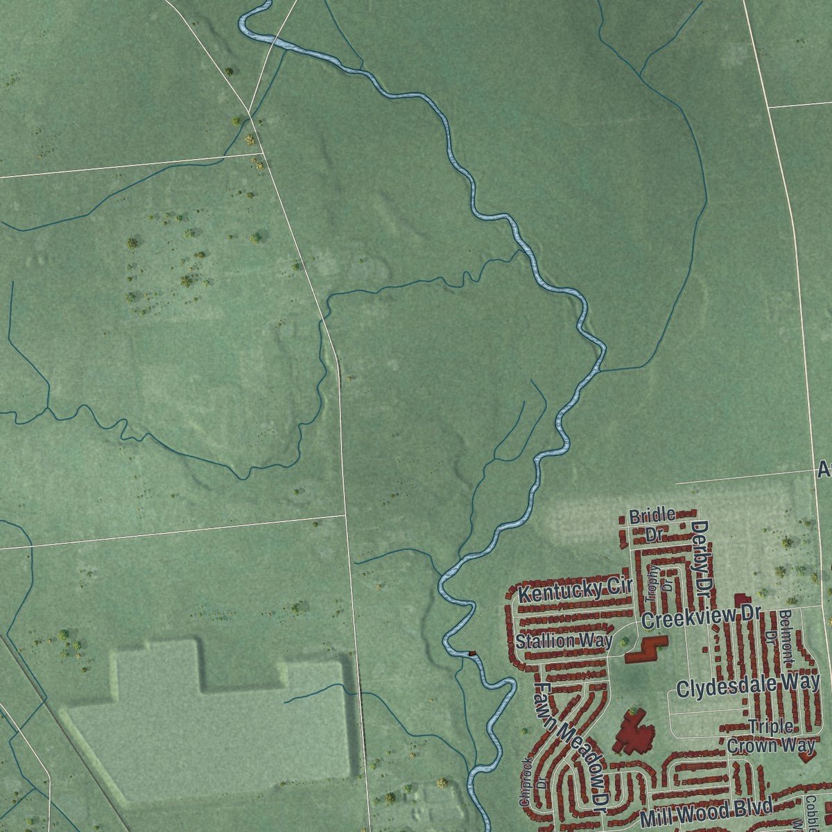
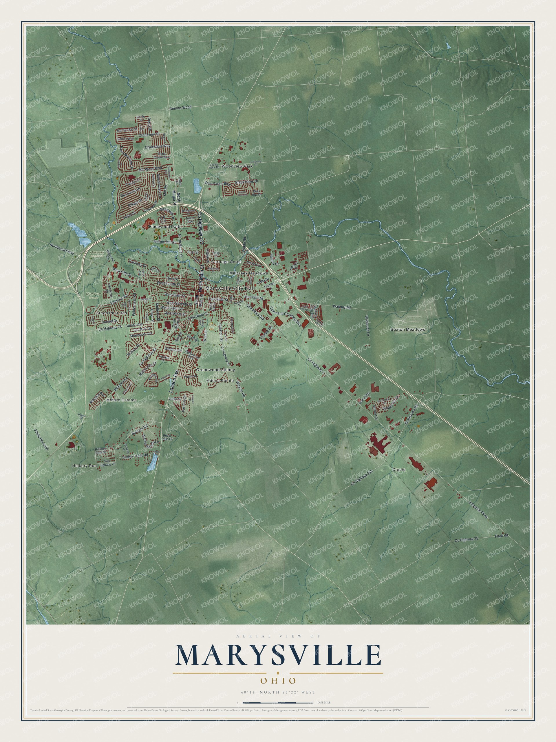
Explore Marysville, Ohio from a whole new perspective. Created using aerial imagery and detailed geographic data, this map captures Marysville building by building, with labeled streets, familiar landmarks, and shaded topographical relief that highlights the natural contours of the landscape.
Combining modern data with the timeless character of a vintage atlas, this map is just as interesting up close as it is beautiful on the wall. Whether you grew up in Marysville, spent memorable years there, or call it home today, this unique map is a great way to celebrate a place that means something to you. Zoom in on the preview to look for your street, and then order a print to put your memories on the wall.
Three ways to hang it
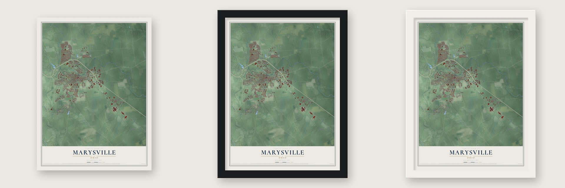
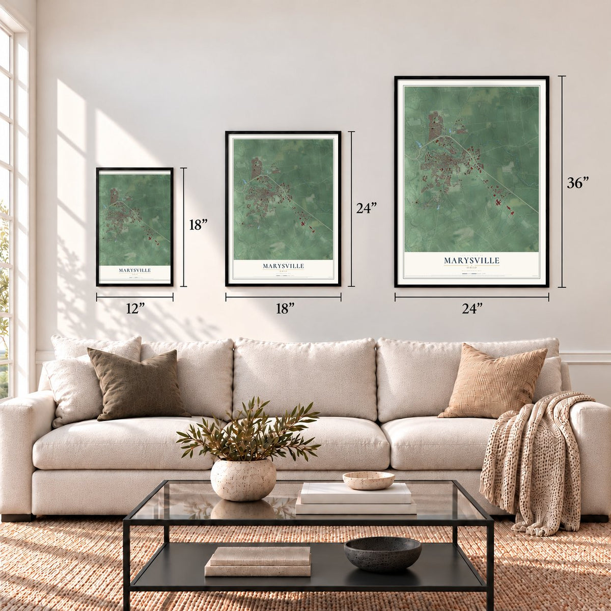
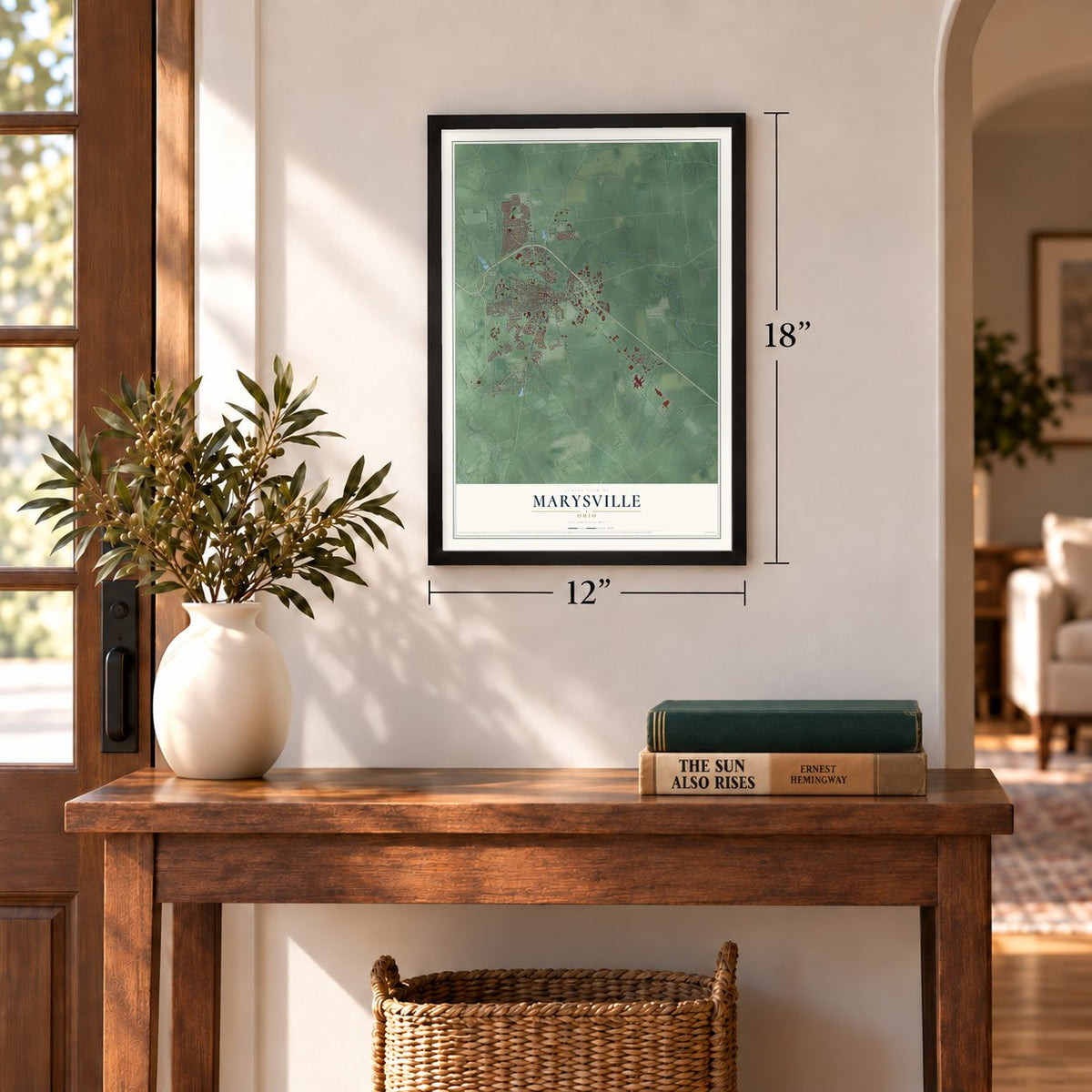
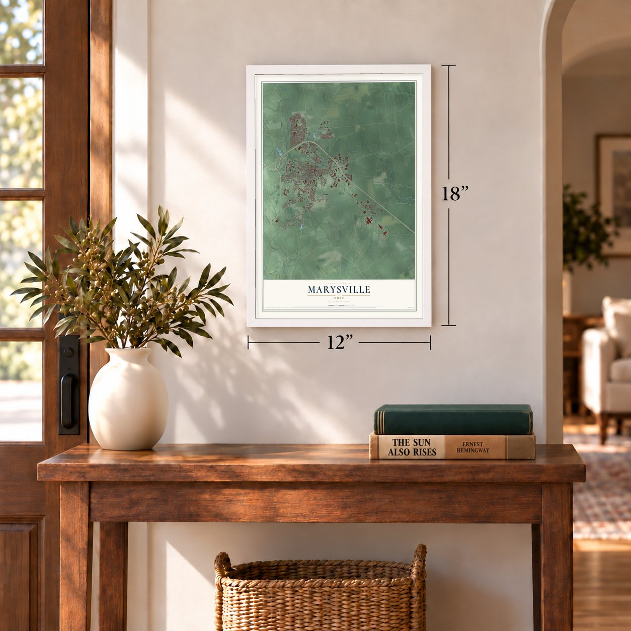
Unframed archival matte, a black wood frame or a white wood frame.
Up close
Geography Worth Displaying
This map was created using accurate cartographic data and authoritative geographic sources, including the U.S. Geological Survey and the Census Bureau. The map brings together terrain, waterways, roads, and building detail. The majority of the streets are labeled, houses are accurately depicted, and the topography is derived from government sources. Combining local data with carefully composed color and shading leads to this beautifully detailed Marysville artwork for your wall.
Rather than simply showing street outlines, we’ve included as many of the street names as we could reasonably fit on the map while keeping their names legible. Zoom in on the high resolution preview to see exactly what’s on the map. We truly set out to create a statement piece for anyone who loves Marysville. So whether it’s for you, or a gift for someone you love, we hope this map of Marysville brings back fond memories.
Read the story behind this map of Marysville, Ohio from 2026.
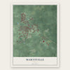
Find your street
Names on the Marysville map
Every name below is printed on this map. Look for your street, your school, the park where you played, or the pond down the road.
Places and landmarks15
- Marysville City Hall
- Hickory Run
- Dipple
- Milford Estates
- Eljer Park
- MacIvor Woods
- Oakdale Cemetery
- Adena Pointe
- Buxton Meadows
- Carriage Acres
- Fleetwood Park
- Green Pastures
Show all 15 places
- Greenwood Colony
- Millcreek Meadows
- Woodview Park
Streets and roads139
- North Main Street
- London Avenue
- County Highway 123
- Columbus Avenue
- North Maple Street
- Milford Avenue
- Waldo Road
- Hickory Drive
- West Fourth Street
- Watkins Road
- West Fifth Street
- East Fifth Street
- Grove Street
- County Highway 78
- County Highway 1
- Industrial Parkway
- County Highway 105
- Scottslawn Road
- Creekview Drive
- County Highway 88
- Colemans Crossing Boulevard
- Collins Avenue
- Boerger Road
- Weaver Road
- Scott Farms Boulevard
- Valley Drive
- Emmaus Road
- Square Drive
- Third Street
- Walnut
Show all 139 streets
- County Highway 35
- Fladt Road
- Mill Road
- Mill Wood Boulevard
- West Sixth Street
- Chestnut Street
- Kentucky Circle
- West Seventh Street
- Bay Laurel Drive
- West Eighth Street
- Northwest Parkway
- Clydesdale Way
- Philip Herre Road
- Wildwood Lane
- East Sixth Street
- Wilderness Road
- Black Hawk Drive
- Village Drive
- West Ninth Street
- Walker Woods Lane
- Mulberry Street
- Timber Trails Road
- East Ninth Street
- Meadowlark Lane
- Fawn Meadow Drive
- Woodcrest Drive
- Hickory Hill Drive
- Derby Drive
- Amrine Mill Road
- Carmel Drive
- Fox Fire Drive
- Amrine-Wood
- Clymer Road
- Poppy Lane
- Sherwood Avenue
- Meadows Drive
- Aspen Drive
- Van Kirk Drive
- Parkway Drive
- Surrey Lane
- Windsor Drive
- Lydia Drive
- Links Drive
- First Street
- South Main Street
- Echo Drive
- Twp Highway 70
- County Highway 52
- Damascus Road
- Raymond Road
- South Maple Street
- Triple Crown Way
- Taylor Avenue
- Cinnamon Drive
- Scott Circle
- Hickory Gate Drive
- Deer Run Drive
- Allenby Drive
- Milington Way
- South Oak Street
- Charles Lane
- Hillcrest Drive
- Greenwood Boulevard
- Park Avenue
- Holly Drive
- Watkins Glen Boulevard
- Stallion Way
- Saffron Drive
- Terrace Drive
- Hemlock Drive
- Suntra Way
- Bridle Drive
- Prairie Drive
- Morey Drive
- Milcrest Drive
- Royal Oaks Drive
- Cherry Street
- County Home Road
- Wedgewood Drive
- Palm Drive
- Pepper Lane
- Calvary Road
- Corbel Drive
- Springwood Lane
- Northcrest Drive
- Rebecca Drive
- Burkdale Drive
- Fairwood Drive
- White Oak Court
- Belmont Drive
- Redwood Drive
- Dunham Street
- Garden Drive
- Poplar Street
- Payne Road
- County Highway 132
- Trophy Drive
- South Plum Street
- Timber Lane
- Ellwood Avenue
- Chiprock Drive
- Timberview Drive
- Buerger Street
- Summer Tree Loop
- Watkins Glen Circle
- Bridge Water Drive
- Cobblestone Way
- Edgewood Drive
- Tamarac Drive
Names are listed as they appear on the printed map. Zoom into the product photos to find them.
About Marysville, Ohio
Marysville is a city of 25,571 people and the county seat of Union County, on Mill Creek about 27 miles northwest of Columbus. Samuel W. Culbertson, a Zanesville lawyer, had bought 450 acres here, and on August 10, 1819, he laid out a village where the creek crossed the Delaware to Urbana road. Charles Roberts surveyed its first 96 lots, and Culbertson named the place after Mary Ellen, the daughter born to him in 1810.
The new county took shape in 1820, and in 1822 the county court left Nathaniel Kazar's tavern in Milford for Matthias Collins's tavern in Marysville. The village grew slowly at first. In 1837 the Ohio Gazetteer described a small post town with a courthouse, a jail, forty-five homes and about 250 inhabitants. Marysville was incorporated in 1840, the 1859 census found 981 residents, and by 1890 the town, known as "the Shaded City" for its tree-lined streets, had 2,832.
- The Log Cabin SongOtway Curry, a poet known across the country, lived in Marysville and became its first mayor when the village incorporated in 1840. That same year he wrote the "Log Cabin Song," which inspired William Henry Harrison's Log Cabin Campaign. Harrison won the presidential election that fall.
- Scotts since 1868Orlando Scott founded O.M. Scotts and Company in Marysville in 1868. It grew into Scotts Miracle-Gro, the world's largest producer of horticulture products, and it still keeps its headquarters and research campus east of the city. The company's museum sits just south of the square in Uptown.
- America's largest asheryThe Marysville Pearlash Factory, an ashery, opened in 1848. By 1874 it had grown into the biggest one in the nation, part of a busy run of local industry that also included a brick wool factory built in 1864, a cheese works in 1871 and several carriage makers.
- Honda's first U.S. plantsHonda announced in 1977 that it would build a motorcycle assembly plant near Marysville. Its Marysville Motorcycle Plant ran from 1979 to 2009, and the Marysville Auto Plant, about six miles northwest of the city, opened in 1982. They were the first production plants Honda opened in the United States, and the auto plant has led production of the Honda Accord ever since. The growth brought an expansion of U.S. Route 33.
- The oldest brick houseIn 1832 Cyprian Lee completed a brick home at what is now West Sixth Street, beside City Hall. An Ohio historical marker names it the town's oldest brick house. Noah Orr, the showman billed as the Union County Giant, later made it his home.
Keep exploring Ohio
Marysville is one of 1,389 Ohio towns we've mapped. Every dot on the map is a print of its own.
The search covers every state, Ohio first.
Near Marysville
Order 2 or more town maps and save 10%. Shown in the size and finish you picked above, so they hang as a set.
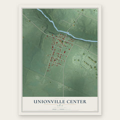
- Unionville Center 12" x 18" / Archival Matte Print $39.99
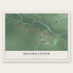
- Milford Center 12" x 18" / Archival Matte Print $39.99
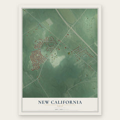
- New California 12" x 18" / Archival Matte Print $39.99
More maps nearby: Ostrander, Plain City, Jerome, Woodstock and Magnetic Springs.
The art of mapping a place
How This Map Was Made
Real places. Remarkable detail. Discover the layers that turn geographic data into a map of home.

The view from above
Aerial imagery reveals the character of the land: woodland, open fields, and the patterns of a place.

The shape of the land
Elevation data brings hills, valleys, and subtle changes in the landscape into view.

The details of home
Roads, waterways, and building footprints come together to make the map feel unmistakably local.

Geography becomes art
Considered color, shading, and typography bring the layers together in a map made for your wall.


Process illustrated with Mendon, Massachusetts. Aerial imagery: USDA NAIP. Terrain: USGS 3D Elevation Program. Map details and finished artwork: KNOWOL.
The Details
About This Print
Choose an archival matte print, or a black or white Ayous wood frame. The archival matte print is unframed.
Select your size and finish above to see the matching product image and price.
Materials & Craftsmanship
A contemporary map with the character of a classic atlas, printed on archival matte paper. Optional frames are made from Ayous wood.
Your printed map does not include the watermark shown in the full-map preview.
Shipping & Delivery
Free shipping within the United States. Every print is made to order in the USA.
Buying a gift? Add a note in your cart and we'll include it. We never put prices in the package.
Prints ship within 2 to 3 business days. Allow 7 to 10 days total from ordering for delivery. Timing may vary during holidays or periods of high order volume.
Read our shipping policy.
Returns and damaged prints
Each print is made to order. Change-of-mind refunds are not available after production.
If your print arrives damaged, misprinted or incorrect, contact support@knowol.com within 30 days of receiving it. Include your order number, photos and a description of the issue.
Read our full refund and replacement policy. For questions about your order, email support@knowol.com.