
Search for another town





Free U.S. delivery 7 to 10 days after you order
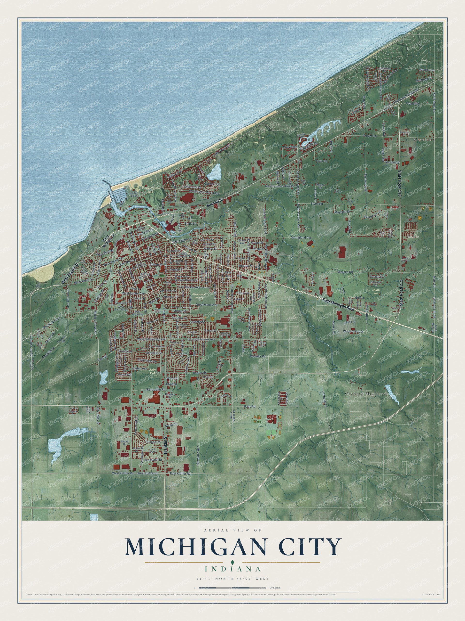
Michigan City, Indiana Map Art
Building by building, with labeled streets and shaded relief.
12" x 18" Archival Matte Print
A Map of Home. A Work of Art.
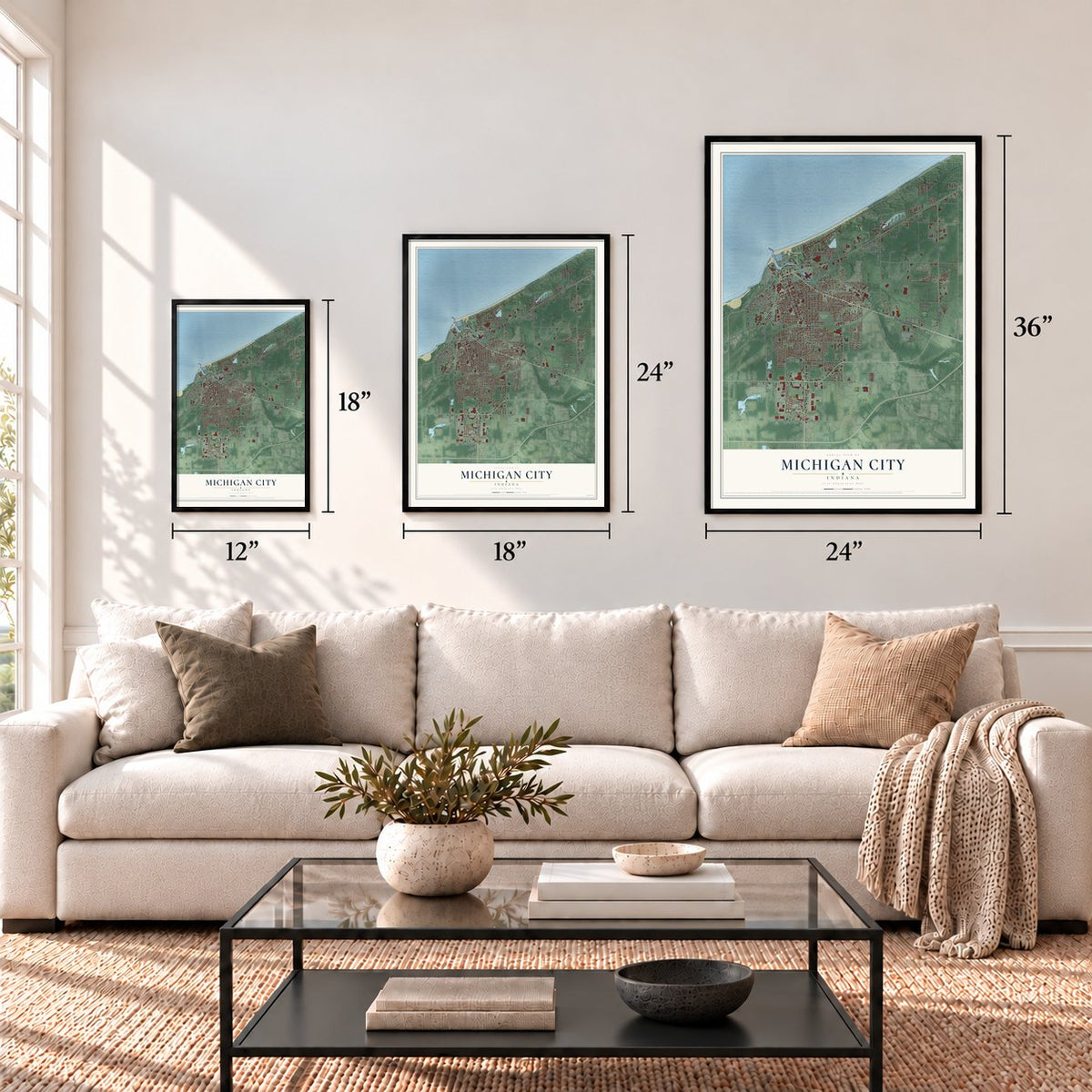
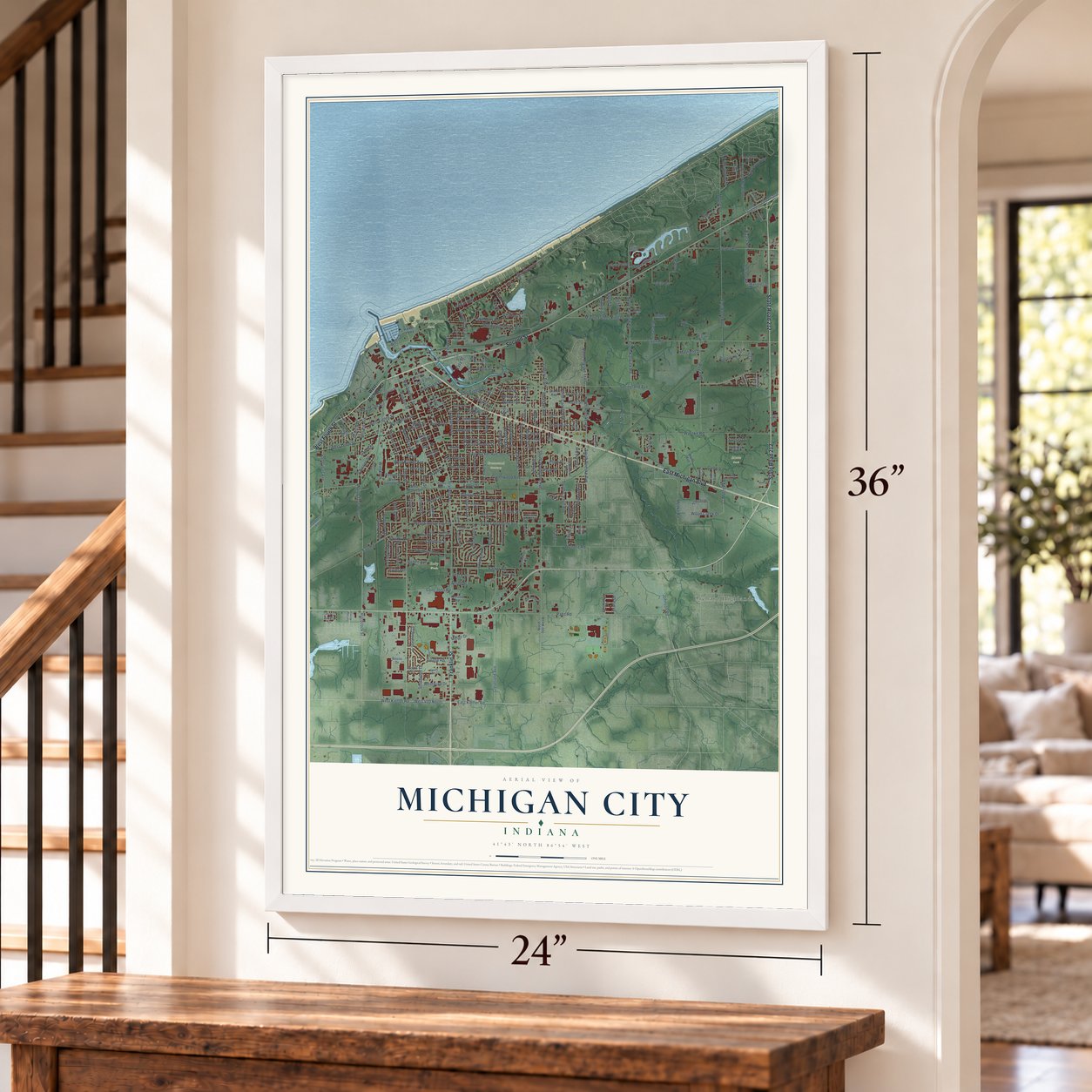
Explore Michigan City, Indiana from a whole new perspective. Created using aerial imagery and detailed geographic data, this map captures Michigan City building by building, with labeled streets, familiar landmarks, and shaded topographical relief that highlights the natural contours of the landscape.
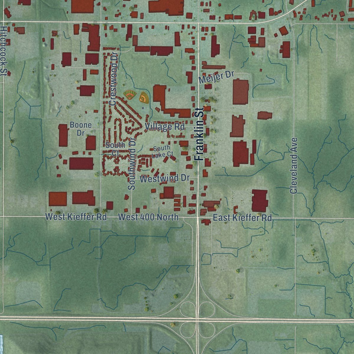
Combining modern data with the timeless character of a vintage atlas, this map is just as interesting up close as it is beautiful on the wall. Whether you grew up in Michigan City, spent memorable years there, or call it home today, this unique map is a great way to celebrate a place that means something to you. Zoom in on the preview to look for your street, and then order a print to put your memories on the wall.
Three ways to hang it
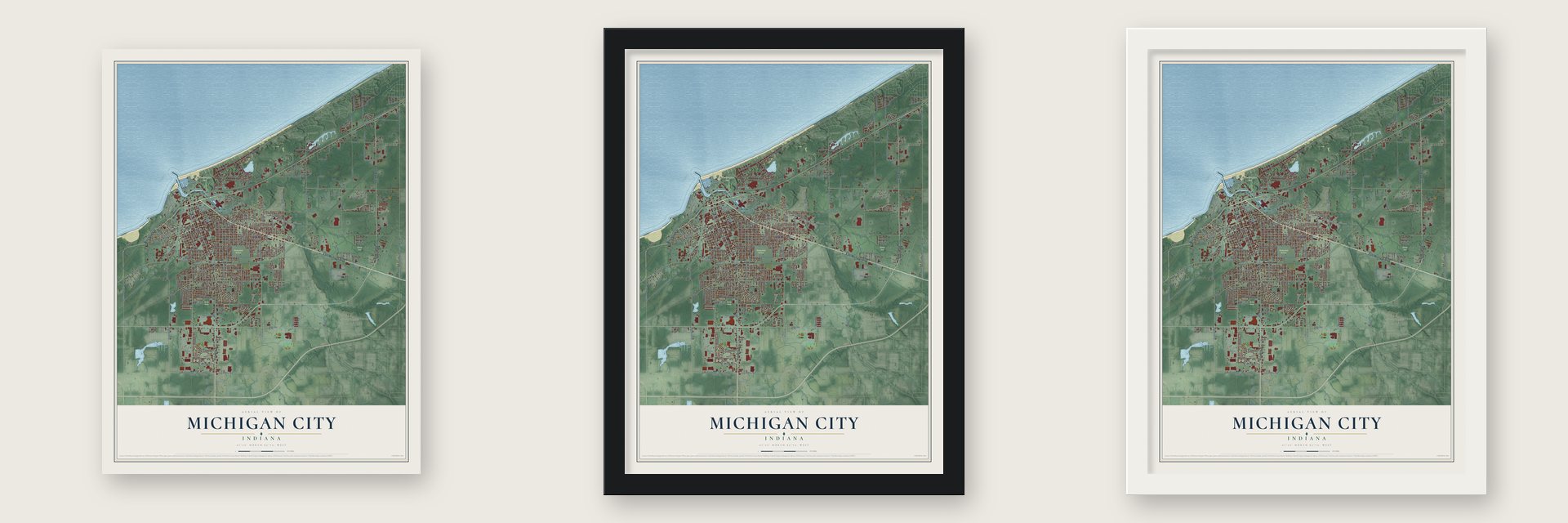
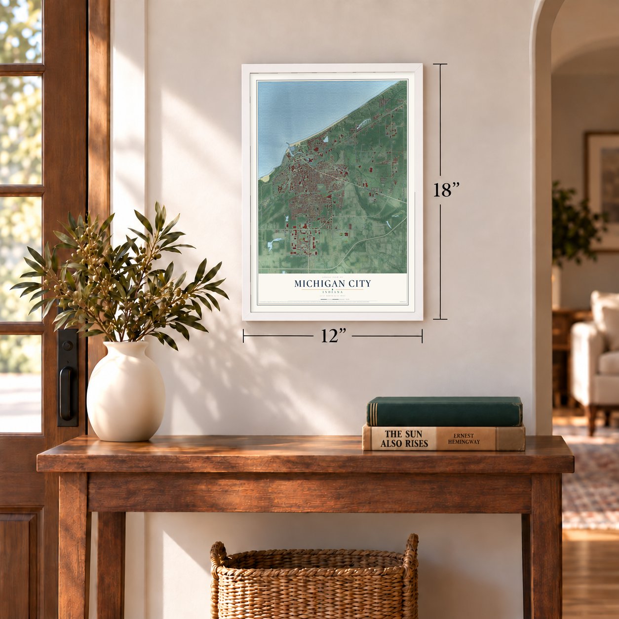
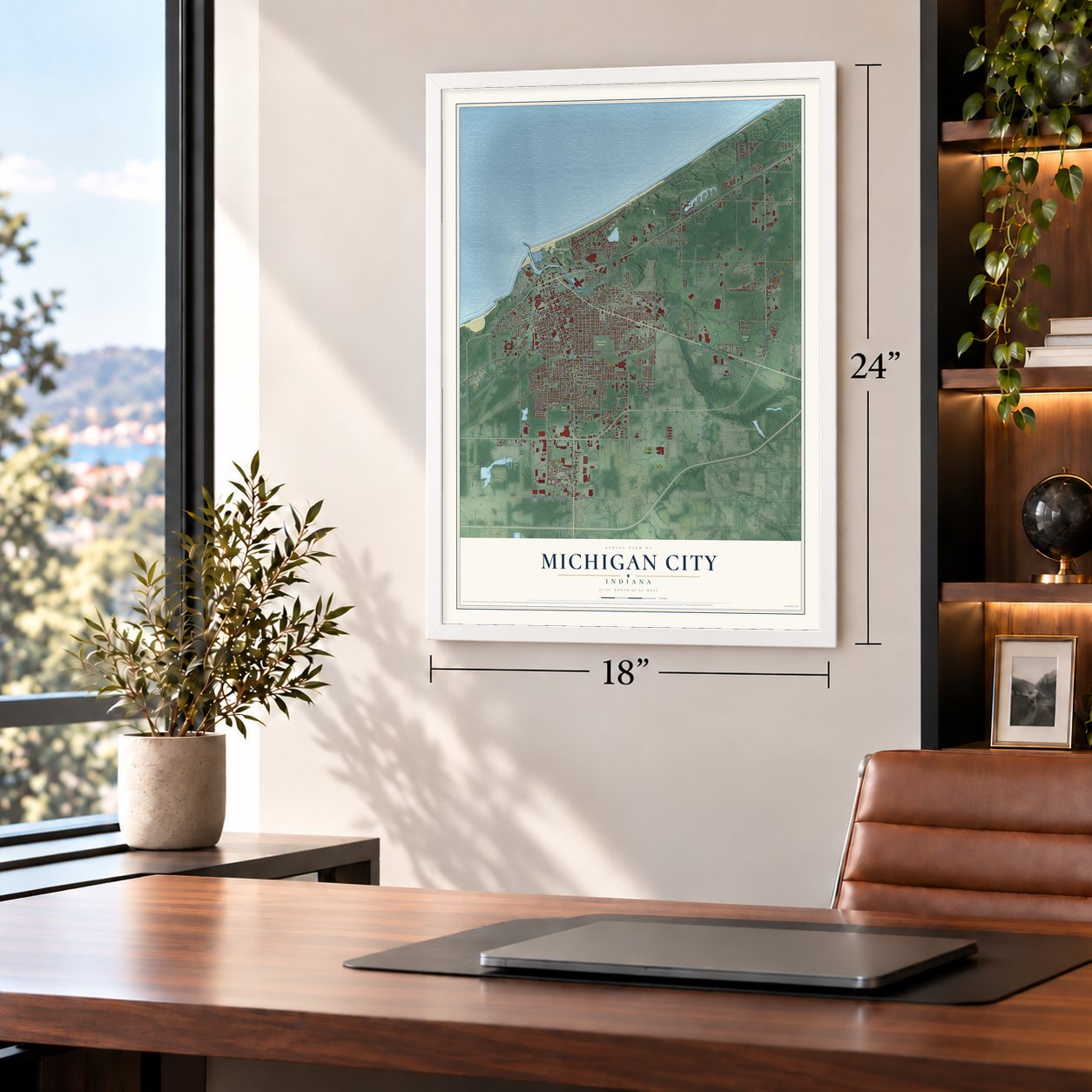
Unframed archival matte, a black wood frame or a white wood frame.
Up close
Geography Worth Displaying
This map was created using accurate cartographic data and authoritative geographic sources, including the U.S. Geological Survey and the Census Bureau. The map brings together terrain, waterways, roads, and building detail. The majority of the streets are labeled, houses are accurately depicted, and the topography is derived from government sources. Combining local data with carefully composed color and shading leads to this beautifully detailed Michigan City artwork for your wall.
Rather than simply showing street outlines, we’ve included as many of the street names as we could reasonably fit on the map while keeping their names legible. Zoom in on the high resolution preview to see exactly what’s on the map. We truly set out to create a statement piece for anyone who loves Michigan City. So whether it’s for you, or a gift for someone you love, we hope this map of Michigan City brings back fond memories.
Read the story behind this map of Michigan City, Indiana from 2026.

Find your street
Names on the Michigan City map
Every name below is printed on this map. Look for your street, your school, the park where you played, or the pond down the road.
Places and landmarks7
- Davis
- Greenwood Cemetery
- Motts Park
- Ruby Woods
- Washington Park
- Merrick
- Orchard Highlands
Streets and roads278
- East Michigan Boulevard
- Franklin Street
- State Road 212
- West Fourth Street
- Second Street
- Meer Road
- Hitchcock Street
- North 1100 West
- West 400 North
- West Kieffer Road
- Willard Avenue
- North Carroll Avenue
- Old Grand Beach Road
- North Roeske Trail
- East Kieffer Road
- Easy Street
- South Woodland Avenue
- County Line Road
- North 600 West
- Woodlawn Avenue
- Tryon Road
- North Karwick Road
- Green Street
- Spring Street
- North Roeske Avenue
- Water Street
- Lake Shore Drive
- Wabash Street
- South Karwick Road
- Warnke Road
Show all 278 streets
- Eastwood Road
- Lawndale Place
- Ohio Street
- Cleveland Avenue
- Springland Avenue
- Pahs Road
- North Meer Road
- Maple Street
- East Barker Avenue
- Oak Street
- Greenwood Avenue
- East Coolspring Avenue
- East Eighth Street
- Freyer Road
- Washington Street
- Jackson Street
- York Street
- Earl Road
- West Tenth Street
- Holliday Street
- West Eighth Street
- Pine Street
- Buffalo Street
- Manhattan Street
- Hoyt Street
- Elston Street
- Barker Road
- Royal Road
- Washington Park Boulevard
- South Carroll Avenue
- Elm Street
- Lafayette Street
- Boyd Circle
- South Roeske Avenue
- Gardena Street
- West Ninth Street
- Menke Road
- Moore Road
- West Coolspring Avenue
- Chicago Street
- Tilden Avenue
- Frazie Road
- Chandler Street
- Henry Street
- Walker Street
- Tennessee Street
- Martin Luther King Drive
- Southwind Drive
- Sheridan Avenue
- Liberty Trail
- Duneland Beach Drive
- East Homer Street
- West Barker Avenue
- Childers Lane
- Superior Street
- Dupage Street
- Dewey Street
- Village Road
- Pleasant Avenue
- South Oak Street
- Hobart Street
- Northbrook Drive
- Chestnut Street
- Riviera Drive
- West Sixth Street
- White Oak Drive
- Crestwood Drive
- Southwood Drive
- Pear Street
- Saint John Road
- Poplar Street
- Plum Street
- Meadow Drive
- Grand Street
- Lake Hills Road
- Butler Street
- Decatur Street
- Motts Parkway
- Grace Street
- Hendricks Street
- Wood Creek Drive
- Fir Street
- Arthur Street
- East Sixth Street
- Welnetz Road
- Anchor Road
- Twin Road
- Bolka Avenue
- Belle Road
- Second Place
- Westwood Drive
- Mayfield Drive
- Rose Street
- Westwind Drive
- Grant Avenue
- Shorewood Drive
- South Lake Avenue
- East Street
- Ferry Street
- Johnson Road
- Monroe Street
- Redpath Avenue
- Center Street
- Lady Lane
- Wildrose Drive
- East Fifth Street
- Ramion Avenue
- Lexington Road
- Nahas Street
- Shady Lane
- Meijer Drive
- Ann Street
- Helen Street
- Salem Court
- Colfax Avenue
- Cloud Street
- Briese Lane
- Detroit Street
- Winski Drive
- Emily Street
- Elmer Street
- Mariner Drive
- Sal Court
- Ogden Avenue
- Minnie Street
- Haack Road
- Victory Street
- Court Boulevard
- Golf Lane
- Sunset Drive
- May Avenue
- Crane Drive
- Alfred Street
- Joyce Street
- West Michigan Street
- South Meer Road
- West Garfield Street
- Chandler Road
- East Eleventh Street
- West Eleventh Street
- Russell Street
- Beverly Court
- Tremont Street
- West William Street
- Benton Street
- South Porter Street
- Bies Street
- Triquad Drive
- Grand Avenue
- Wall Street
- Esther Street
- Blackberry Trail
- West Arthur Street
- Euclid Avenue
- Short Street
- School Street
- Douglas Avenue
- Emma Street
- Woodside Drive
- Wolfe Avenue
- Hampden Road
- Tryon Street
- Mall Court
- East Fulton Street
- Broadbrook Lane
- Salem Street
- Fox Lake Avenue
- Elk Street
- Sanborn Street
- North 900 West
- Fern Street
- Power Lane
- Concord Drive
- Highland Avenue
- Shorelane Drive
- Davidson Avenue
- Chickadee Drive
- Leeds Avenue
- Parker Parkway
- Peru Street
- Hillcrest Road
- Kintzele Road
- South Court
- Charles Street
- Boone Drive
- Wilson Road
- Holly Road
- Alpine Drive
- Rice Street
- Dody Avenue
- Cook Street
- Lighthouse Place
- Pinewood Trail
- Grand Beach Drive
- South Dickson Street
- Garrettson Avenue
- East Tenth Street
- Cedar Street
- East Garfield Street
- Madison Street
- Belden Street
- Thomas Street
- Wilshire Avenue
- Kenwood Place
- Vail Street
- Normandy Drive
- Bristol Drive
- Autumn Trail South
- Brinkman Avenue
- Timber Trail
- East Fourth Street
- South Lake Court
- Schofield Court
- Willow Spring Drive
- Burnside Court
- Terrace Acres
- Fairway Drive
- North County Line Road
- Overhill Trail
- East Second Street
- Beachwalk Lane
- Huron Street
- Barker Avenue
- Cherry Street
- Blaine Street
- Lincoln Avenue
- Tryon Farm Road
- Indian Ridge Drive
- Belmont Court
- Providence Street
- Dorchester Road
- Felton Street
- Western Avenue
- Top Flight Road
- Rogers Avenue
- Pytynia Parkway
- Tulip Tree Drive
- Tall Timber Drive
- Dunewood Drive
- Lincoln Drive
- Cedar Lake Avenue
- Lumber Center Road
- Harvey Court
- Turner Court
- Glen Drive
- Virginia Court
- Tryon Farm Lane
- Beech Street
Names are listed as they appear on the printed map. Zoom into the product photos to find them.
About Michigan City, Indiana
Michigan City is a city of 32,075 people in LaPorte County, on the shore of Lake Michigan where Trail Creek flows into it. In 1830 Isaac C. Elston, a land speculator who had made his money in Crawfordsville, bought 160 acres here for about $200. The town grew fast, and by the time it was incorporated in 1836 it already had 1,500 residents.
In those first six years the town gained a newspaper, a post office, a church, ten hotels and a business district, and the State Bank of Indiana opened a branch here in 1836. The first schoolhouse, built in 1834, doubled as the place where people gathered to worship. Much later, on January 4, 1960, the city annexed the neighboring town of Lakeland and took in 3,000 more residents.
- Du Sable was here in 1779Jean Baptiste Point du Sable, remembered as Chicago's first permanent resident, was living where Michigan City now stands in 1779. That year British soldiers arrested him because they suspected he sided with the Americans in the Revolutionary War.
- Hoosier Slide and singing sandA huge dune called Hoosier Slide once rose where the electrical generating station stands today, until it was dug away for its sand in the late 19th century. Mount Baldy, a large dune that slowly moves, still sits at the eastern edge of Indiana Dunes National Park, and the local beach sand is called "singing sand" for the sound it makes.
- Pan Am sailing in 1987Indianapolis hosted the 1987 Pan American Games, but the sailing races were held on Lake Michigan at Michigan City. Lighthouse Place Premium Outlets, an outdoor mall on the city's north end, opened the same year.
Keep exploring Indiana
Michigan City is one of 1,023 Indiana towns we've mapped. Every dot on the map is a print of its own.
The search covers every state, Indiana first.
Near Michigan City
Order 2 or more town maps and save 10%. Shown in the size and finish you picked above, so they hang as a set.
- Pottawattamie Park 12" x 18" / Archival Matte Print $39.99
- Trail Creek 12" x 18" / Archival Matte Print $39.99
- Long Beach 12" x 18" / Archival Matte Print $39.99
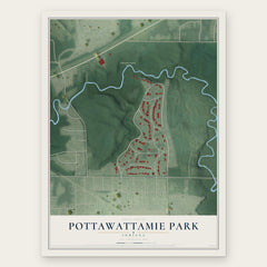
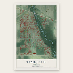
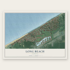
More maps nearby: Duneland Beach, Michiana Shores, Pines, Springfield and Beverly Shores.
The art of mapping a place
How This Map Was Made
Real places. Remarkable detail. Discover the layers that turn geographic data into a map of home.

The view from above
Aerial imagery reveals the character of the land: woodland, open fields, and the patterns of a place.

The shape of the land
Elevation data brings hills, valleys, and subtle changes in the landscape into view.

The details of home
Roads, waterways, and building footprints come together to make the map feel unmistakably local.

Geography becomes art
Considered color, shading, and typography bring the layers together in a map made for your wall.


Process illustrated with Mendon, Massachusetts. Aerial imagery: USDA NAIP. Terrain: USGS 3D Elevation Program. Map details and finished artwork: KNOWOL.
The Details
About This Print
Choose an archival matte print, or a black or white Ayous wood frame. The archival matte print is unframed.
Select your size and finish above to see the matching product image and price.
Materials & Craftsmanship
A contemporary map with the character of a classic atlas, printed on archival matte paper. Optional frames are made from Ayous wood.
Your printed map does not include the watermark shown in the full-map preview.
Shipping & Delivery
Free shipping within the United States. Every print is made to order in the USA.
Buying a gift? Add a note in your cart and we'll include it. We never put prices in the package.
Prints ship within 2 to 3 business days. Allow 7 to 10 days total from ordering for delivery. Timing may vary during holidays or periods of high order volume.
Read our shipping policy.
Returns and damaged prints
Each print is made to order. Change-of-mind refunds are not available after production.
If your print arrives damaged, misprinted or incorrect, contact support@knowol.com within 30 days of receiving it. Include your order number, photos and a description of the issue.
Read our full refund and replacement policy. For questions about your order, email support@knowol.com.