
Search for another town





Free U.S. delivery 7 to 10 days after you order
Middle, New Jersey Map Art
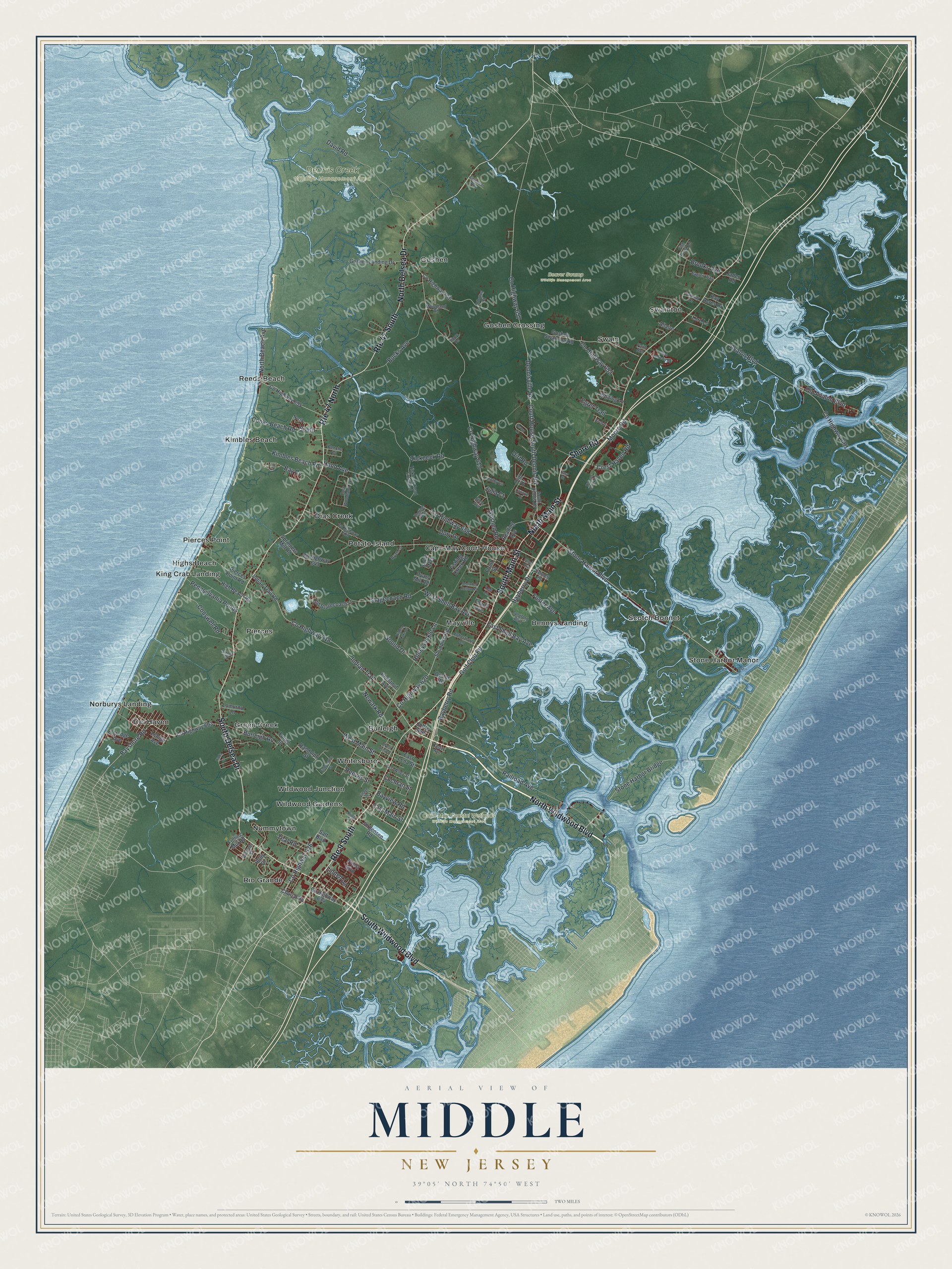
A new map of Middle, New Jersey, made in 2026 and printed to order on thick archival matte paper.
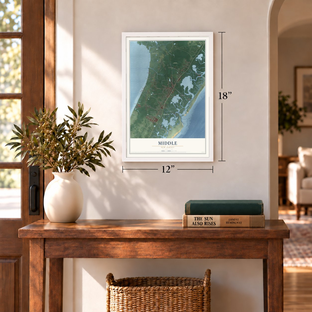
12" x 18" Archival Matte Print
A Map of Home. A Work of Art.
Bring a piece of Middle home. Whether it’s where you grew up, your current home, or simply a moment in your life, this Middle, New Jersey map print brings those memories to your wall. Antique-inspired styling and modern geographic detail combine to create artwork that’s beautiful from across the room, with plenty to study and explore when you get up close.
Three ways to hang it
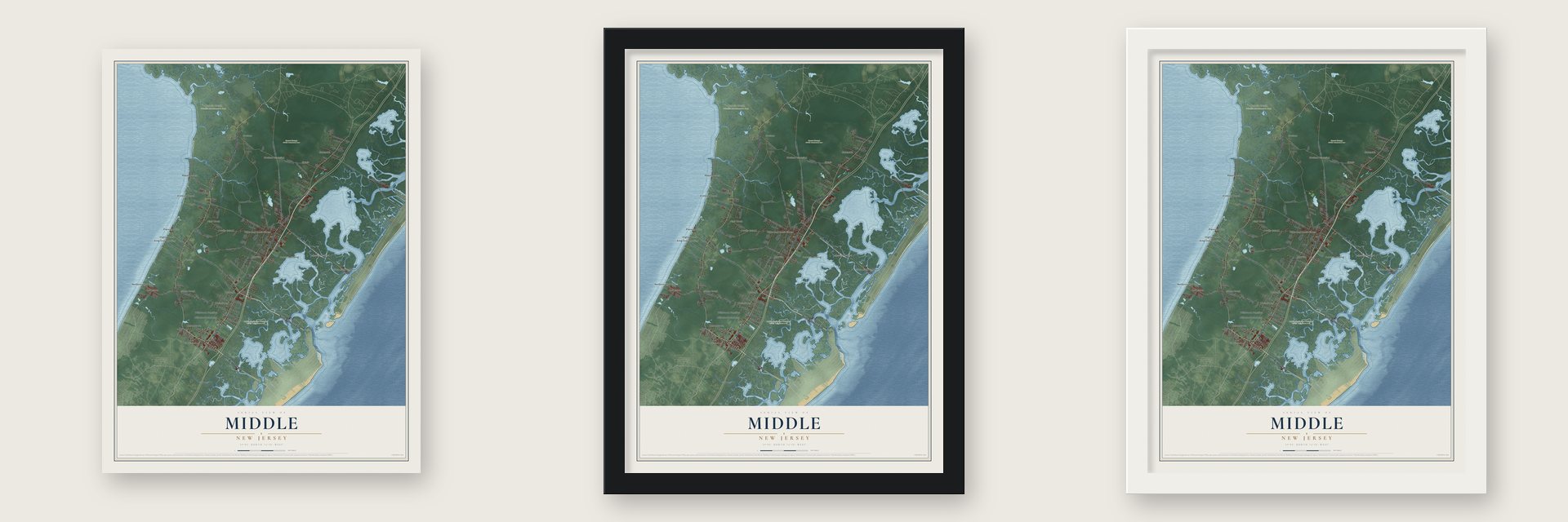
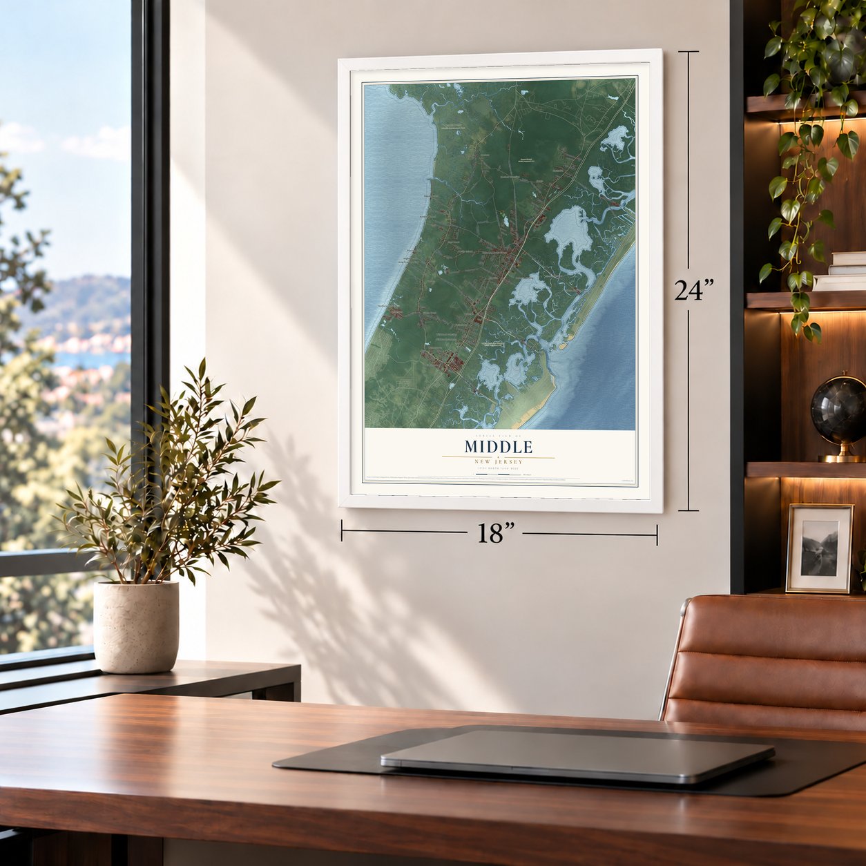
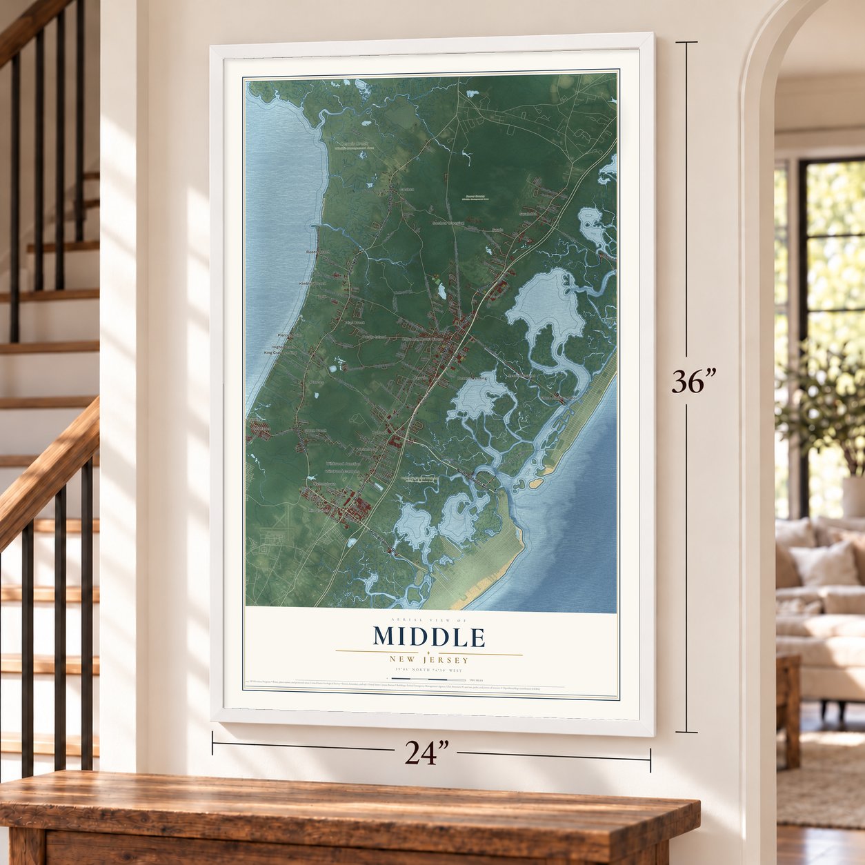
Unframed archival matte, a black wood frame or a white wood frame.
Up close
Real geography. Art worth displaying.
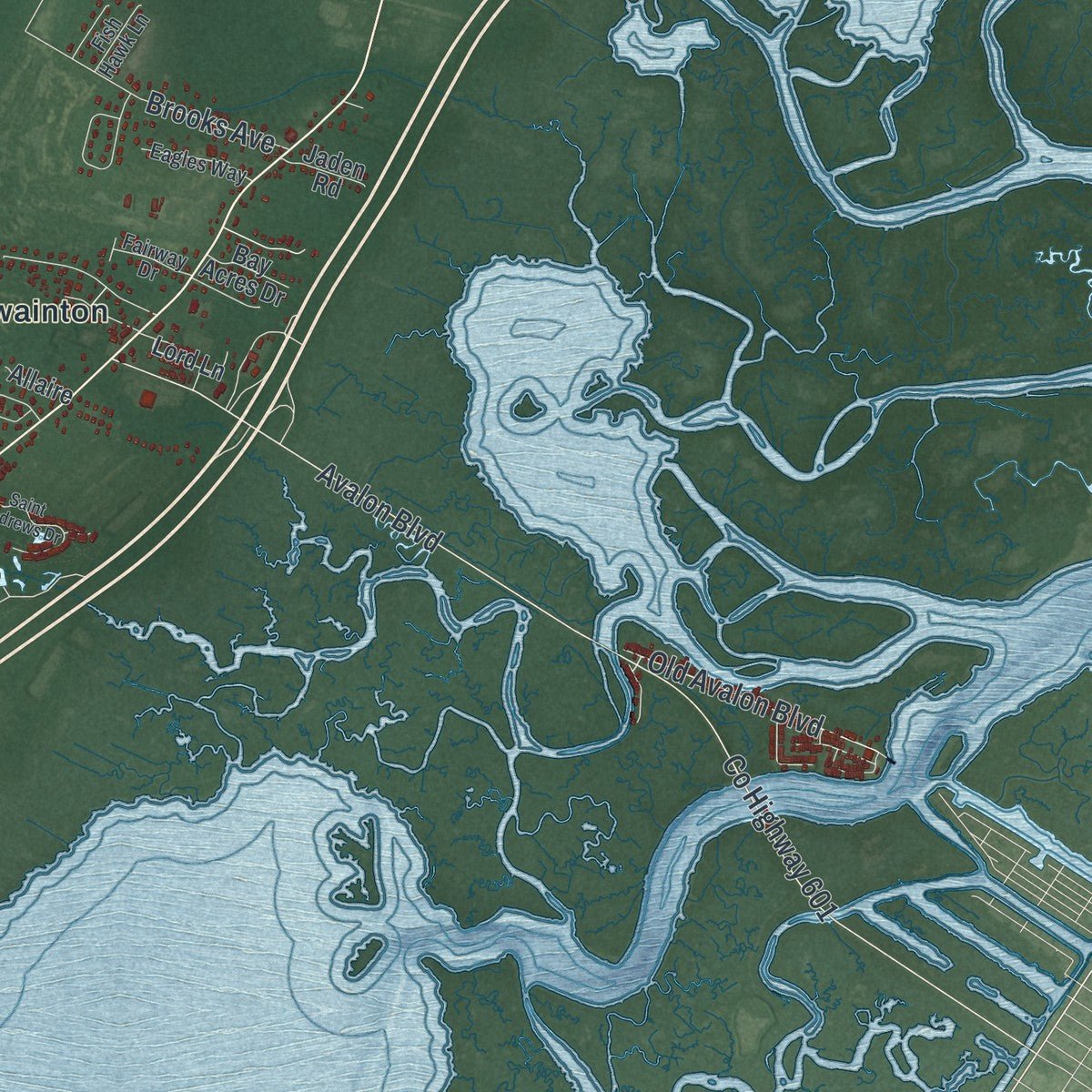
This map was created using accurate cartographic data and authoritative geographic sources, including the U.S. Geological Survey (USGS) and FEMA. The map brings together terrain, waterways, roads, and building detail. The majority of the streets are labeled, houses are accurately depicted, and the topography is derived from government sources. Combining local data with carefully composed color and shading leads to this beautifully detailed Middle artwork for your wall.
Rather than simply showing street outlines, we’ve included as many of the street names as we could reasonably fit on the map while keeping their names legible. Zoom in on the high resolution preview to see exactly what’s on the map. We truly set out to create a statement piece for anyone who loves Middle. So whether it’s for you, or a gift for someone you love, we hope this map of Middle brings back fond memories.
Explore the full map of Middle, New Jersey and read about the local places it shows.

About Middle, New Jersey
Middle is documented as a township in Cape May County, and the 2020 census recorded 20,380 residents there. Its civic record reaches to April 2, 1723, when it was incorporated or formally organized, a date that remains part of the community's established local identity.
- 20,380 peopleThe United States census recorded this population in 2020.
- Cape May CountyMiddle is identified as a township in this New Jersey county.
- Organized in 1723The community was incorporated or formally organized on April 2, 1723.
Find your street
Names on the Middle map
Every name below is printed on this map. Look for your street, your school, the park where you played, or the pond down the road.
Places and landmarks29
- Beaver Swamp Wildlife Management Area
- Cape May Coastal Wetlands Wildlife Management Area
- Dennis Creek Wildlife Management Area
- Bennys Landing
- Burleigh
- Cape May Court House
- Del Haven
- Dias Creek
- Goshen
- Goshen Crossing
- Green Creek
- Highs Beach
Show all 29 places
- Kimbles Beach
- King Crab Landing
- Mayville
- Norburys Landing
- Nummytown
- Pierces
- Pierces Point
- Potato Island
- Reeds Beach
- Rio Grande
- Scotch Bonnet
- Stone Harbor Manor
- Swain
- Swainton
- Whitesboro
- Wildwood Gardens
- Wildwood Junction
Streets and roads145
- Route 47 South
- North Wildwood Boulevard
- South Main Street
- Route 9 South
- North Main Street
- Route 47 North
- South Delsea Drive
- Shore Road
- North Delsea Drive
- South Wildwood Boulevard
- County Highway 618
- West Main Street
- East Main Street
- Honeysuckle Lane
- Bayshore Road
- County Highway 615
- Stone Harbor Boulevard
- Railroad Avenue
- County Highway 626
- Old Avalon Boulevard
- County Highway 657
- County Highway 620
- Golf Club Road
- Stone Harbor Bridge
- Bayberry Road
- Indian Trail
- Avalon Boulevard
- Reeves Street
- Dennisville Road
- Court House South Dennis Road
Show all 145 streets
- Goshen Road
- Hand Avenue
- County Highway 658
- County Highway 601
- Stagecoach Road
- Tickneck Road
- David Road
- Bayberry Drive
- Bucks Avenue
- Crest Haven Road
- West Shell Bay Avenue
- Kimbles Beach Road
- Bay Cv
- Conswell Road
- Cooks Beach Road
- County Highway 652
- Brooks Avenue
- Burleigh Road
- Pennsylvania Ponds
- Moore Road
- North Beach Avenue
- East Shell Bay Avenue
- Foster Avenue
- Egret Trail
- Sound Drive
- Dory Drive
- Bayview Road
- Teal Road
- South
- Cochran Street
- Newark Road
- Linden Lane
- Julia Court
- Dirt Road
- Chestnut Avenue
- Randolph Street
- County Highway 603
- Shunpike Road
- County Highway 646
- Goshen Swainton Road
- Indian Trail Road
- County Highway 643
- Springers Mill Road
- Holly Drive
- County Highway 655
- High Beach Road
- Reading Avenue
- Pierces Point Road
- Goshen Landing Drive
- Old Stagecoach Lane
- Oyster Road
- Jorgensen Road
- Priest Boulevard
- County Highway 634
- Eldredge Avenue
- Whiting Lane
- Fishing Creek Road
- Solar Way
- Satt Boulevard
- Church Road
- Fulton Street
- Lomurno Lane
- Lord Lane
- East Lena Street
- Lehigh Avenue
- Fulling Mill Road
- Jaden Road
- Bay Acres Drive
- Fourth Avenue
- Joffre Avenue
- Allaire
- Dyars Mill Road
- Olin Drive
- Front Street
- Cedar Avenue
- Ellen Avenue
- County Highway 612
- South Dennis Road
- Langford Boulevard
- Tickneck Road Extended
- Benche Court
- Williams Street
- Bennett Road
- East Woodland Avenue
- Johnstown Lane
- East Wiley Street
- Eagles Way
- North
- Woodland Road
- Timothy Lane
- Fairway Drive
- Fish Hawk Lane
- Ryan Lane
- Arbutus Court
- Lee Lane
- English Way
- King Street
- Faith Run
- Acorn Lane
- Saint Andrews Drive
- Village Drive
- Cynwyd Drive
- Steel Road
- Hidden Lake Drive
- Fishbourne Street
- Holmes Creek Road
- Linda Lane
- West Lena Street
- Easement Row
- Birch Drive
- Secluded Hollow Road
- Smoke Road
- Moore Terrace
- Easy Street
- Teal
Names are listed as they appear on the printed map. Zoom into the product photos to find them.
The art of mapping a place
How This Map Was Made
Real places. Remarkable detail. Discover the layers that turn geographic data into a map of home.

The view from above
Aerial imagery reveals the character of the land: woodland, open fields, and the patterns of a place.

The shape of the land
Elevation data brings hills, valleys, and subtle changes in the landscape into view.

The details of home
Roads, waterways, and building footprints come together to make the map feel unmistakably local.

Geography becomes art
Considered color, shading, and typography bring the layers together in a map made for your wall.


Process illustrated with Mendon, Massachusetts. Aerial imagery: USDA NAIP. Terrain: USGS 3D Elevation Program. Map details and finished artwork: KNOWOL.
The Details
About This Print
Choose an archival matte print, or a black or white Ayous wood frame. The archival matte print is unframed.
Select your size and finish above to see the matching product image and price.
Materials & Craftsmanship
A contemporary map with the character of a classic atlas, printed on archival matte paper. Optional frames are made from Ayous wood.
Your printed map does not include the watermark shown in the full-map preview.
Shipping & Delivery
Free shipping within the United States. Every print is made to order in the USA.
Buying a gift? Add a note in your cart and we'll include it. We never put prices in the package.
Prints ship within 2 to 3 business days. Allow 7 to 10 days total from ordering for delivery. Timing may vary during holidays or periods of high order volume.
Read our shipping policy.
Returns and damaged prints
Each print is made to order. Change-of-mind refunds are not available after production.
If your print arrives damaged, misprinted or incorrect, contact support@knowol.com within 30 days of receiving it. Include your order number, photos and a description of the issue.
Read our full refund and replacement policy. For questions about your order, email support@knowol.com.
Find your town
Looking for another city?
Find a map of home in our New Jersey collection.
Nearby
Maps of towns near Middle
Know someone from one of these towns? Their map makes a great gift.
 Cape May Court House
, New Jersey
From $39.99See the map
 Burleigh
, New Jersey
From $39.99See the map
 Whitesboro
, New Jersey
From $39.99See the map
More maps nearby: Goshen, Stone Harbor, Avalon, Rio Grande and South Dennis.