
Search for another town

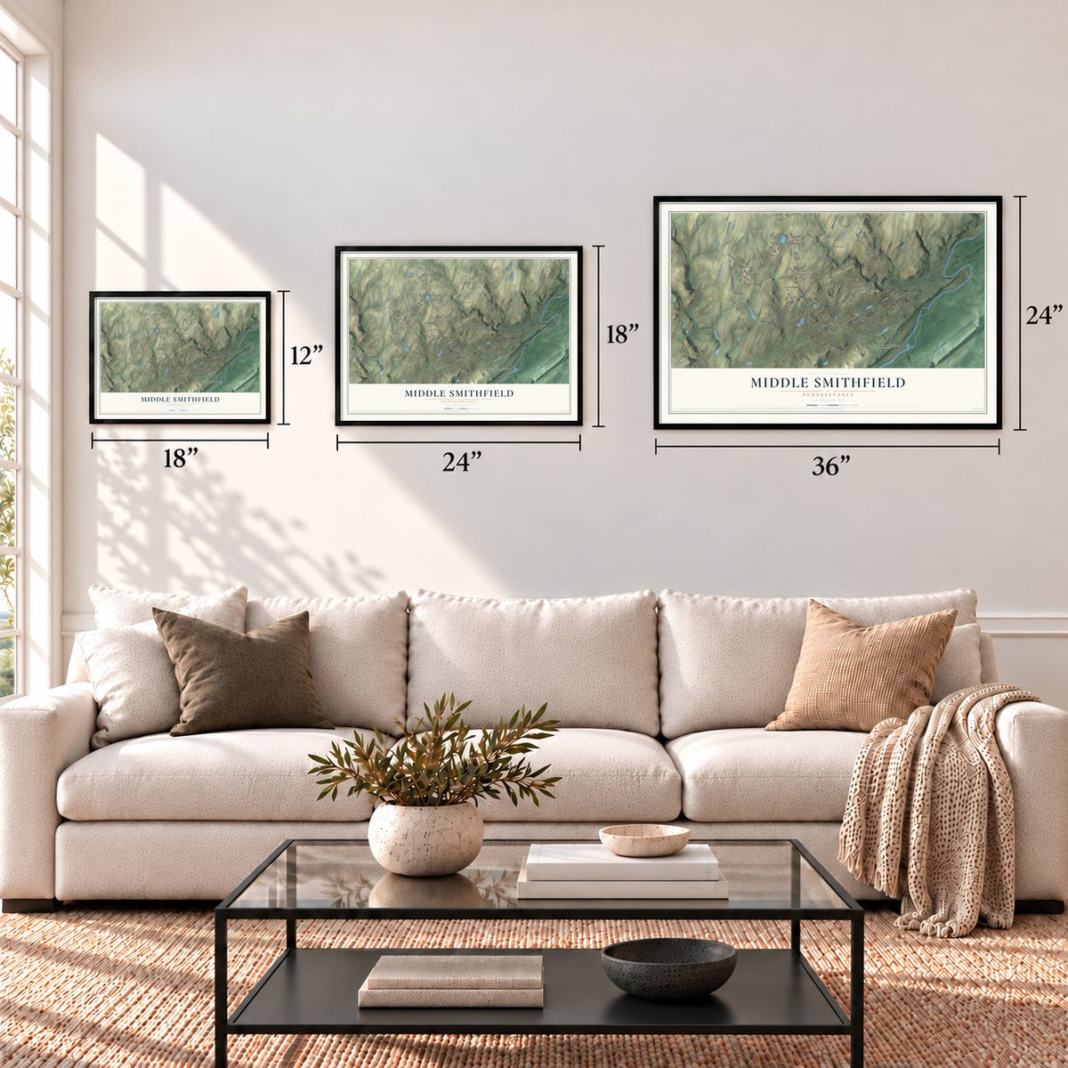

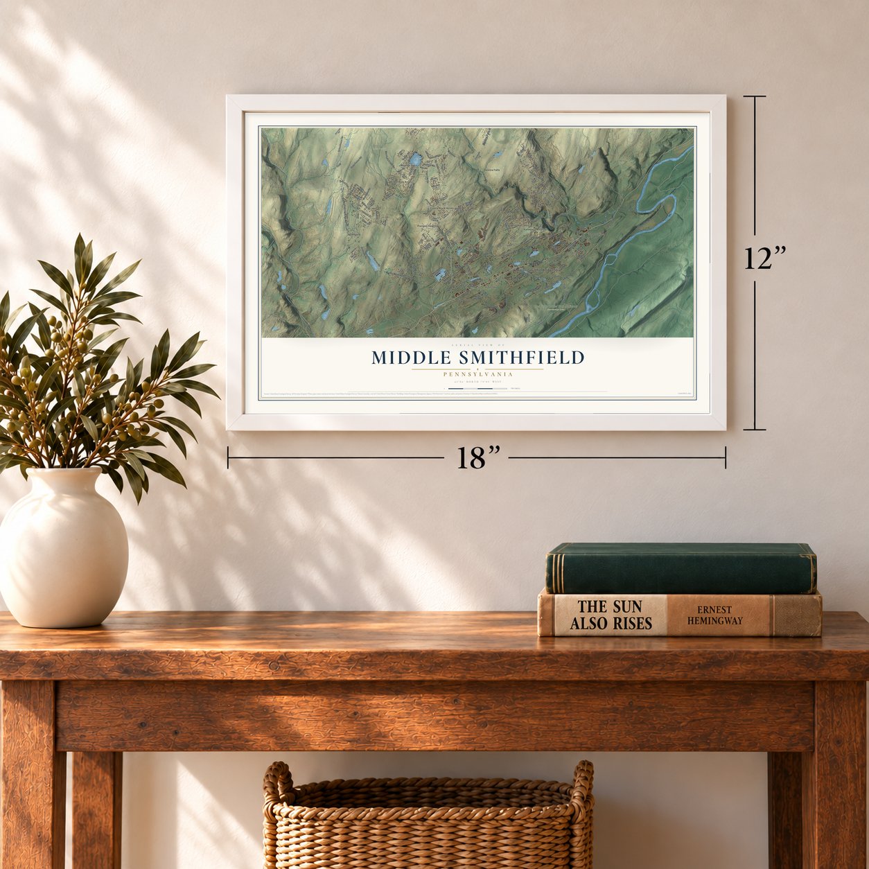

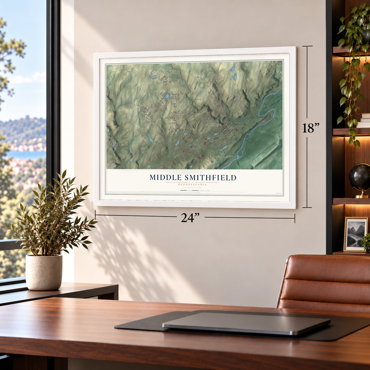

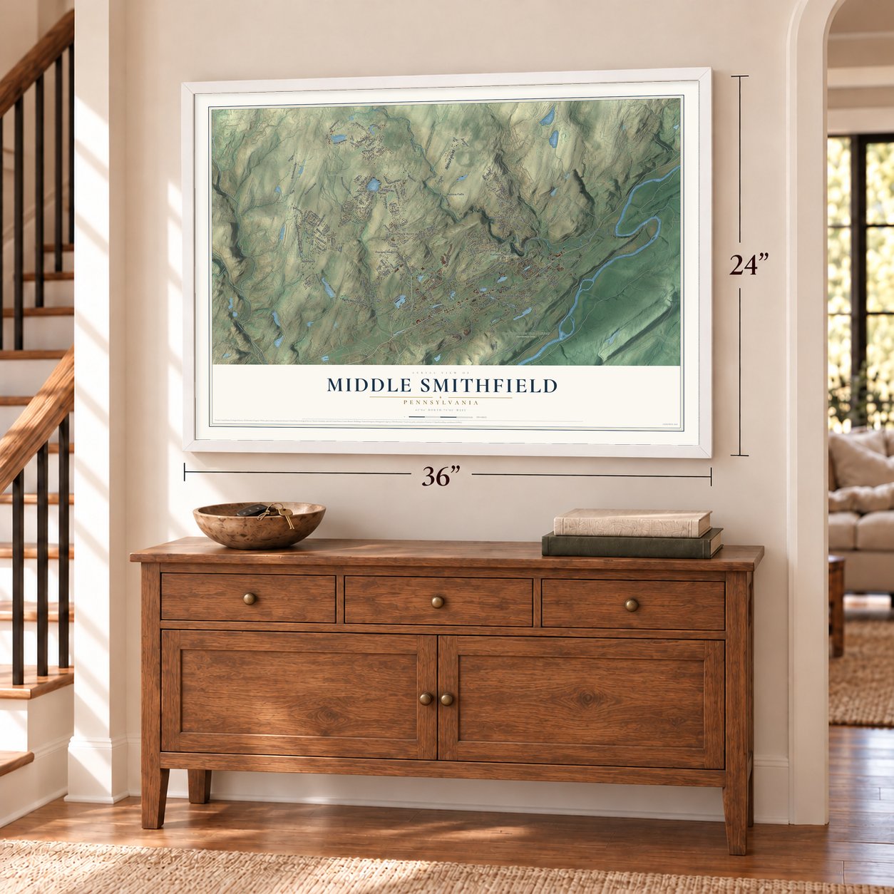

Free U.S. delivery 7 to 10 days after you order
Middle Smithfield, Pennsylvania Map Art
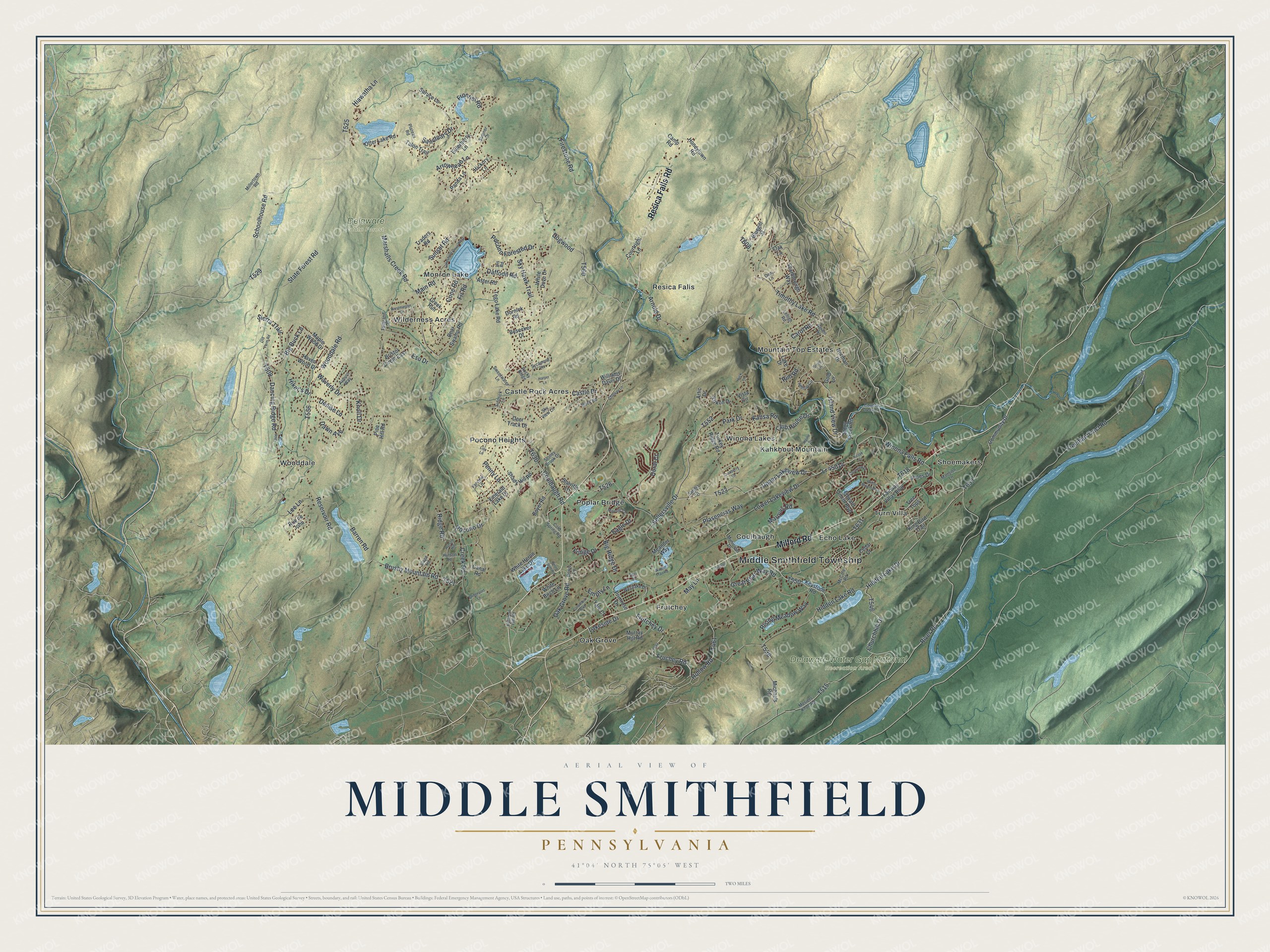
A new map of Middle Smithfield, Pennsylvania, made in 2026 and printed to order on thick archival matte paper.
12" x 18" Archival Matte Print
A Map of Home. A Work of Art.
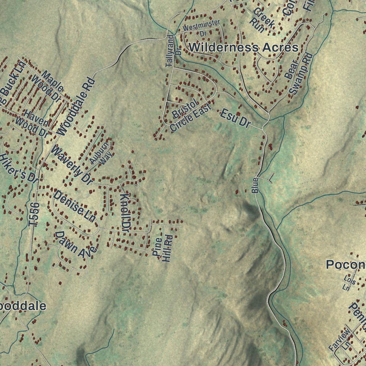
If you grew up along Milford Road or have family near Echo Lake, Resica Falls or Winona Lakes, this map gives you a lot to find. It's a modern aerial view of Middle Smithfield Township in Monroe County, Pennsylvania, made from modern data with a vintage look. Zoom in on the preview and look for your block.
Three ways to hang it
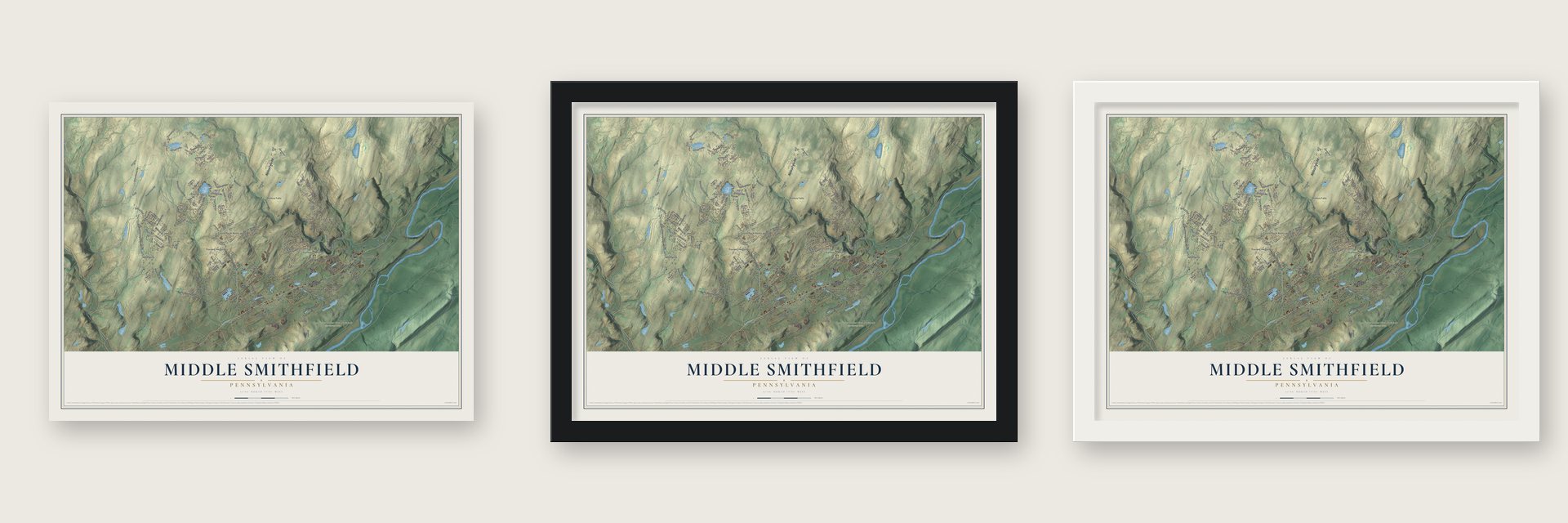
Unframed archival matte, a black wood frame or a white wood frame.
Up close
Real geography. Art worth displaying.
This map was created using accurate cartographic data and authoritative geographic sources, including the U.S. Geological Survey and the Census Bureau. The map brings together terrain, waterways, roads, and building detail. The majority of the streets are labeled, houses are accurately depicted, and the topography is derived from government sources. Combining local data with carefully composed color and shading leads to this beautifully detailed Middle Smithfield artwork for your wall.
Rather than simply showing street outlines, we’ve included as many of the street names as we could reasonably fit on the map while keeping their names legible. Zoom in on the high resolution preview to see exactly what’s on the map. We truly set out to create a statement piece for anyone who loves Middle Smithfield. So whether it’s for you, or a gift for someone you love, we hope this map of Middle Smithfield brings back fond memories.
Read the story behind this map of Middle Smithfield, Pennsylvania from 2026.
About Middle Smithfield, Pennsylvania
Middle Smithfield is a township in Monroe County with a 2020 population of 16,053. Milford Road connects places including Turn Villa, Shoemakers, Frutchey, and Oak Grove, while nearby features include Echo Lake and Resica Falls. A notable local discovery occurred near Marshalls Creek, where mastodon remains were uncovered in 1968.
- 2020 PopulationMiddle Smithfield Township had 16,053 residents in 2020.
- Mastodon DiscoveryJohn W. Leap and other workers uncovered mastodon bones at a peat bog near Marshalls Creek in 1968.
- Museum SpecimenThe mastodon died about 12,000 years ago, and its specimen is now held by the State Museum of Pennsylvania.
- Milford Road CommunitiesMilford Road passes Turn Villa and Shoemakers to the northeast, and Frutchey and Oak Grove to the southwest.
- Route to Resica FallsFrom Oak Grove, Resica Falls Road runs north past Poplar Bridge toward Resica Falls, with Castle Rock Acres nearby.
Find your street
Names on the Middle Smithfield map
Every name below is printed on this map. Look for your street, your school, the park where you played, or the pond down the road.
Places and landmarks19
- Middle Smithfield Township
- Delaware State Forest
- Delaware Water Gap National Recreation Area
- Castle Rock Acres
- Coolbaugh
- Echo Lake
- Frutchey
- Kahkhout Mountain
- Monroe Lake
- Mountain Top Estates
- Oak Grove
- Pocono Heights
Show all 19 places
- Poplar Bridge
- Resica Falls
- Shoemakers
- Turn Villa
- Wilderness Acres
- Winona Lakes
- Wooddale
Streets and roads180
- Resica Falls Road
- Milford Road
- Upper Lakeview Drive
- Dancing Ridge Road
- Timothy Lake Road
- Island View Drive
- Lr 45014
- Carol Road
- Hidden Lake Drive
- Churchhill Drive
- Marshalls Creek Road
- Coolbaugh Road
- River Road
- Creek Road
- Hidden Lake Road
- Schoolhouse Road
- Freeman Tract Road
- Lower Lakeview Drive
- Big Ridge Drive
- Sellersville Drive
- Firestone Road
- Hiawatha Lane
- Arnold Drive
- Barren Road
- Pocono Drive
- State Forest Road
- Hollow Road
- Great Bear Way Road
- Brushy Mountain Road
- Wooddale Road
Show all 180 streets
- Fruchey Road
- Frutchey Drive
- Park Drive
- Club House Drive
- Oak Grove Road
- Denise Lane
- Winona Falls Road
- Rising Meadow Way
- Reservoir Road
- Frontier Road
- Sierra Trail
- Sky Hawk Trail
- Pocono Forested Drive
- Plasencias Way
- Marquis Road
- Castle Drive
- Waverly Drive
- Big Buck Lane
- Arrowhead Lane
- Doral Court
- Eagle Drive
- Sanctuary Drive
- Ridge Road
- Dogwood
- Dawn Avenue
- Main Road
- Kansa Road
- Daffodil Road
- Empty Lane
- Lee Lane
- Fringe Drive
- Lakeside Drive
- Hiker's Drive
- Sunset Road
- Knoll Drive
- Cone Road
- Esu Drive
- May Lane
- Penny Lane
- Rim Road
- Fir Road
- Stony Creek Road
- Norman Drive
- Bristol Circle East
- Keystone Road
- Tree Tops
- White Birch Lane
- Emerald Lake Drive
- Scarborough Way
- Otter Lake Road
- Community Drive
- Turkey Ridge Road
- Tego Lake Road
- Bear Swamp Road
- Michaels Road
- White Dove Drive
- Fairway Villas Boulevard
- White Heron Lake Drive
- Primrose Drive
- Deer Track Drive
- Rue de John
- Vista Circle
- Yukon Drive
- King Bird Trail
- Courtright Lane
- Besecker Drive
- Shady Hill Road
- Maple Wood Drive
- Murray Hill Road
- Canal Road
- Haven Wood Drive
- Edward Smith Boulevard
- Elderberry Lane
- Boyer Road
- Pines Drive
- Yale Court
- Artic Drive
- Honeytown Road
- Bluegill Street
- Williams Davis Drive
- Talon Trail
- Lake Drive
- Spruce Lane
- Panda Lane
- Hickory Lane
- Creek Run
- Aster Road
- Sheriffs Lane
- Meander Way
- Pine Hill Road
- Traders Road
- Dornick Road
- Cedar Court
- Gold Lane
- Camp Road
- Oak Lane
- County Creek Lane
- McCole Road
- Farview Lane
- Mosiers Knob Road
- Sweetwater Lane
- Rocky Ridge
- Mansion Lane
- Cold Spring Road
- Sumner Drive
- Municipal Drive
- Hutson Hl
- Sycamore Lane
- Rock Road
- Hilltop Circle
- Sidorick Lane
- Westlake Drive
- Stoney Brook Drive
- Tallyrand Drive
- Auburn Way
- Plateau Road
- Millertown Road
- Slope Road
- Sky View Lane
- Huffman Hill Road
- Bowie Lane
- Sandra Court
- Lehigh Road
- Dani Lane
- Blue
- Iris Road
- Navaho Road
- Alpine Drive
- Westminster Drive
- Wilbur Bloom Boulevard
- Lakeshore Drive West
- Majestic Court
- Columbia Boulevard
- Wagon Trail Road
- Lace Drive
- Clearview Drive
- Old Farm Road
- Hutson Hill
- Chateau Lane
- River Road North
- Cranberry Lane
- Harper Lane
- Kosak Cr
- Bridgeport Lane
- School
- Huck Lane
- Heron Point Road
- Green Lane
- Lois Lane
- Tiger Court
Names are listed as they appear on the printed map. Zoom into the product photos to find them.
The art of mapping a place
How This Map Was Made
Real places. Remarkable detail. Discover the layers that turn geographic data into a map of home.

The view from above
Aerial imagery reveals the character of the land: woodland, open fields, and the patterns of a place.

The shape of the land
Elevation data brings hills, valleys, and subtle changes in the landscape into view.

The details of home
Roads, waterways, and building footprints come together to make the map feel unmistakably local.

Geography becomes art
Considered color, shading, and typography bring the layers together in a map made for your wall.


Process illustrated with Mendon, Massachusetts. Aerial imagery: USDA NAIP. Terrain: USGS 3D Elevation Program. Map details and finished artwork: KNOWOL.
The Details
About This Print
Choose an archival matte print, or a black or white Ayous wood frame. The archival matte print is unframed.
Select your size and finish above to see the matching product image and price.
Materials & Craftsmanship
A contemporary map with the character of a classic atlas, printed on archival matte paper. Optional frames are made from Ayous wood.
Your printed map does not include the watermark shown in the full-map preview.
Shipping & Delivery
Free shipping within the United States. Every print is made to order in the USA.
Buying a gift? Add a note in your cart and we'll include it. We never put prices in the package.
Prints ship within 2 to 3 business days. Allow 7 to 10 days total from ordering for delivery. Timing may vary during holidays or periods of high order volume.
Read our shipping policy.
Returns and damaged prints
Each print is made to order. Change-of-mind refunds are not available after production.
If your print arrives damaged, misprinted or incorrect, contact support@knowol.com within 30 days of receiving it. Include your order number, photos and a description of the issue.
Read our full refund and replacement policy. For questions about your order, email support@knowol.com.
Find your town
Looking for another city?
Find a map of home in our Pennsylvania collection.
Nearby
Maps of towns near Middle Smithfield
Know someone from one of these towns? Their map makes a great gift.
 Saw Creek
, Pennsylvania
From $39.99See the map
 Smithfield
, Monroe County, Pennsylvania
From $39.99See the map
 Price
Price, Pennsylvania
From $39.99See the map
More maps nearby: East Stroudsburg, Pine Ridge, Lehman, Penn Estates and Arlington Heights.