
Search for another town




Free U.S. delivery 7 to 10 days after you order
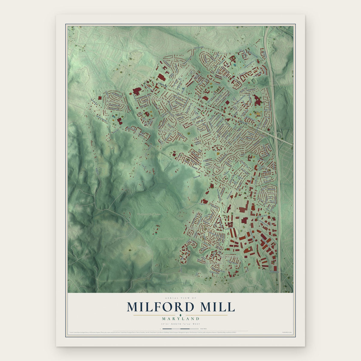
Milford Mill, Maryland Map Art
Building by building, with labeled streets and shaded relief.
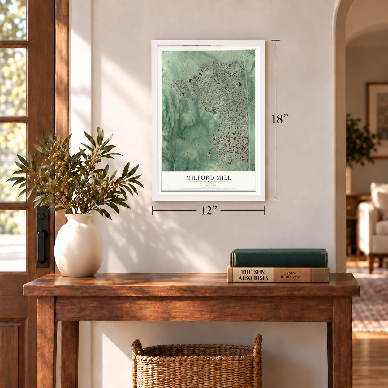
12" x 18" Archival Matte Print
A Map of Home. A Work of Art.
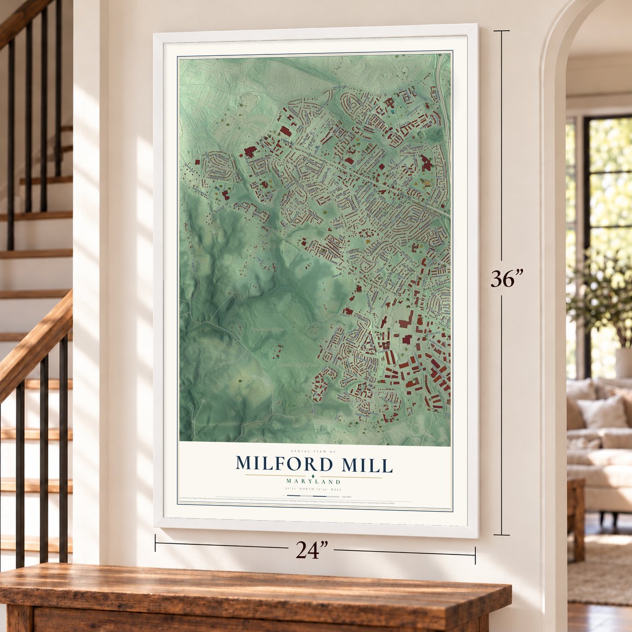
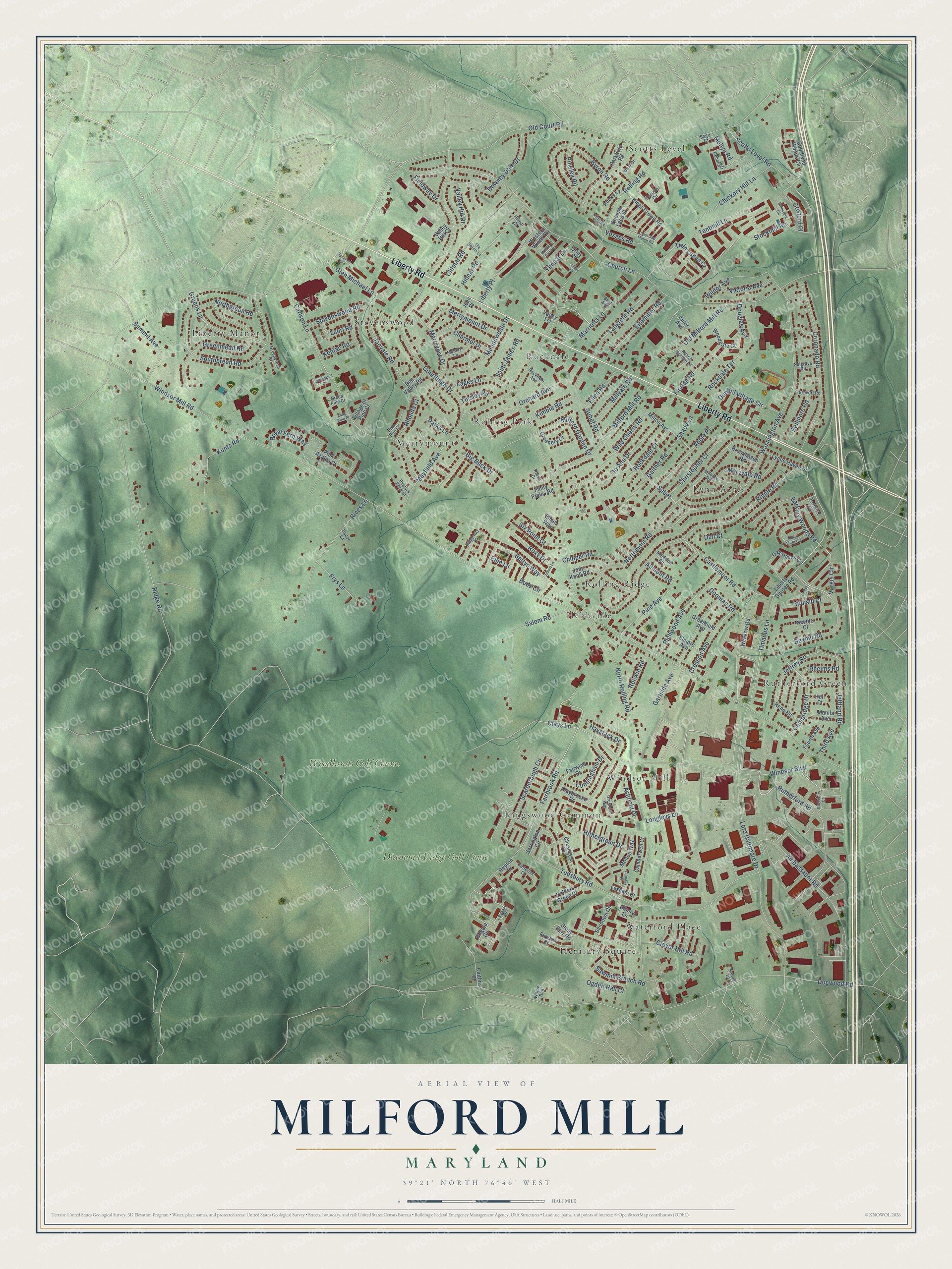
Explore Milford Mill, Maryland from a whole new perspective. Created using aerial imagery and detailed geographic data, this map captures Milford Mill building by building, with labeled streets, familiar landmarks, and shaded topographical relief that highlights the natural contours of the landscape.
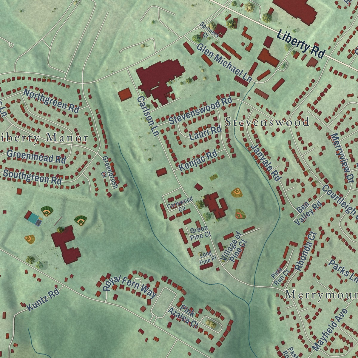
Combining modern data with the timeless character of a vintage atlas, this map is just as interesting up close as it is beautiful on the wall. Whether you grew up in Milford Mill, spent memorable years there, or call it home today, this unique map is a great way to celebrate a place that means something to you. Zoom in on the preview to look for your street, and then order a print to put your memories on the wall.
Three ways to hang it
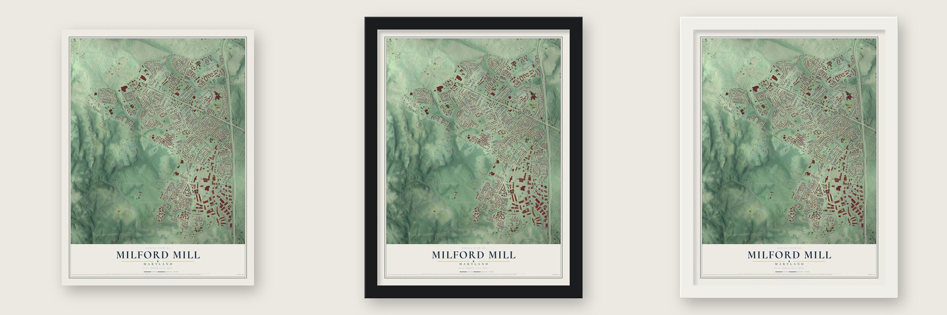
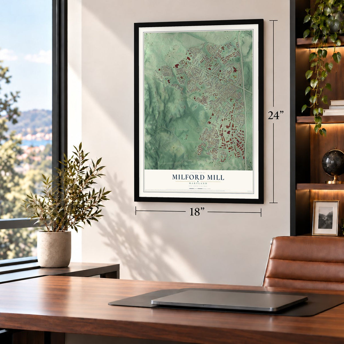
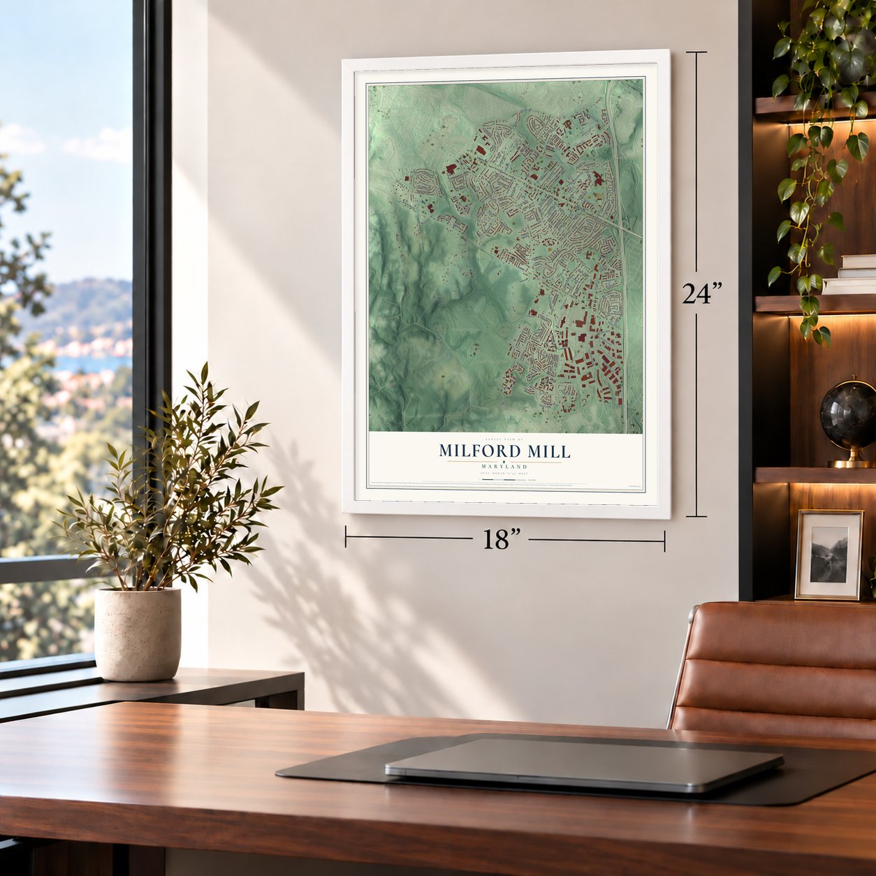
Unframed archival matte, a black wood frame or a white wood frame.
Up close
Geography Worth Displaying
This map was created using accurate cartographic data and authoritative geographic sources, including the U.S. Geological Survey and the Census Bureau. The map brings together terrain, waterways, roads, and building detail. The majority of the streets are labeled, houses are accurately depicted, and the topography is derived from government sources. Combining local data with carefully composed color and shading leads to this beautifully detailed Milford Mill artwork for your wall.
Rather than simply showing street outlines, we’ve included as many of the street names as we could reasonably fit on the map while keeping their names legible. Zoom in on the high resolution preview to see exactly what’s on the map. We truly set out to create a statement piece for anyone who loves Milford Mill. So whether it’s for you, or a gift for someone you love, we hope this map of Milford Mill brings back fond memories.
Read the story behind this map of Milford Mill, Maryland from 2026.

Find your street
Names on the Milford Mill map
Every name below is printed on this map. Look for your street, your school, the park where you played, or the pond down the road.
Places and landmarks16
- Rolling Ridge
- Scotts Level
- Heraldry Square
- Liberty Manor
- Rockdale
- Windsor Mill
- Lynn Acres
- Merrymount
- Rutherford Green
- Stevenswood
- Kingswood Common
- Rolling Park
Show all 16 places
- Waterford Place
- Hebbville
- Diamond Ridge Golf Couse
- Woodlands Golf Course
Streets and roads212
- Liberty Road
- Vargis Circle
- Fairbrook Road
- Bexhill Road
- Lord Baltimore Drive
- Liberty Place
- Clays Lane
- Bettys Way
- Twin Lakes Court
- Greens Lane
- Rudisill Court
- Old Court Road
- Windsor Mill Road
- North Rolling Road
- Ridge Road
- Dogwood Road
- Milford Mill Road
- Church Lane
- Courtleigh Drive
- Washington Avenue
- Ripple Road
- Tudsbury Road
- Carlson Lane
- Windsor Boulevard
- Subet Road
- Ambassador Road
- Coronado Road
- Scotts Level Road
- Mayfield Avenue
- Greenmead Road
Show all 212 streets
- Gaither Road
- Byron Road
- Tentmill Lane
- Langrehr Road
- Salem Road
- Southgreen Road
- Rices Lane
- Scarborough Circle
- Rolling Road
- Northmont Road
- Clifmar Road
- Gartside Avenue
- Wild Cherry Road
- Northgreen Road
- Rutherford Road
- Downey Dale Drive
- Timanus Lane
- Castlemoor Road
- Abbie Place
- Hilmar Road
- Jeffland Road
- Richwood Avenue
- Barkley Woods Road
- Stevenswood Road
- Glen Michael Lane
- Cambridge Drive
- Hithergreen Drive
- Big Buck Drive
- Wildor Avenue
- Jo Ann Drive
- Chickory Hill Lane
- Meadowdale Drive
- Jeffrey Road
- Stockmill Road
- Dunhill Village Circle
- Janvale Road
- Merrymount Drive
- Pine Avenue
- Rheims Road
- Eitemiller Road
- Christopher Court
- Old Milford Mill Road
- Milford Garden Drive
- Kuntz Road
- Saint James Road
- Merryview Drive
- Maryvale Road
- Cresson Avenue
- Florida Road
- Summit Avenue
- Dooman Road
- Yennar Lane
- Rockdale Terrace
- Frys Lane
- Roxy Drive
- Lages Lane
- Cunningham Drive
- Vosges Road
- Rockdale Court
- Millvale Road
- Buds Circle
- Clover Hill Road
- Victoria Avenue
- Mollye Road
- Marriotts Lane
- Chipper Road
- Sawmill Branch Road
- Bellmore Road
- Ashfield Drive
- Kimble Road
- Rollwin Road
- Royal Fern Way
- Six Point Court
- Valley Hill Drive
- Ogden Hall Court
- Pinelea Road
- Haystack Drive
- Ellen Road
- Charmel Drive
- Rhonda Court
- Crisford Place
- Fieldway Drive
- Lauri Road
- Kenjac Road
- Orchard Avenue
- Tinsley Road
- Douglas Avenue
- Third Avenue
- Longleys Lane
- Allmont Road
- Parks Lane
- Dell Court
- Shady Lane
- Subet
- Ellie Lane
- Rogate Circle
- Lynne Haven Drive
- Sandown Circle
- Stony Barr Road
- Claybrooke Drive
- Parkfield Road
- Jody Knoll Road
- Oak Haven Circle
- Sarrington Circle
- Woodgate Court
- Courtland Woods Circle
- Pink Azalea Court
- Western Winds Circle
- Weekow Road
- Kings Crown Road
- Jean Drive
- Molton Way
- Elmore Avenue
- Milton Avenue
- Liberty Garden Road
- Repton Court
- Cheshaire Drive
- Village of Pine Court
- Camberwell Court
- Greenfield Avenue
- Flaxton Court
- Manila Avenue
- Lexham Court
- Brookhaven Road
- Fairwind Drive
- Golders Green Court
- Queens Lace Street
- Flinty Plains Road
- Ben Valley Road
- Reno Road
- Greenery Court
- Euler Avenue
- Fourth Avenue
- Bibury Lane
- Rocky Lane
- Caitlins Court
- Valley Hill Court
- Neville Court
- Ethan Way
- Tamers Court
- Hull Court
- Valley Terrace
- Otley Court
- Gresham Way
- Ridgeway Place
- Horizon Circle
- Milbury Road
- Debelin Circle
- Melody Lane
- Catterick Court
- Pine Run Court
- Rockdale Avenue
- Brevort Road
- Virunga Court
- Peach Bottom Lane
- Greenbrush Court
- Selgrave Road
- Millwood Road
- Green Pine Court
- Pasture Rose Court
- Ideal Court
- Dacor Lane
- Willow Run
- Sage Court
- Hanna Court
- Hilmar Court
- Karen Drive
- Best Avenue
- Bytham Court
- Courtland Manor Road
- Brookford Circle
- Western Cicle Drive
- Derby Shire Circle
- Carlswood Circle
- Carnaby Drive
- Governors Court
- Flinn Court
- Jilbert Lane
- The Sisters Lane
- Spinners Court
- Turgot Lane
- Long Pine Place
Names are listed as they appear on the printed map. Zoom into the product photos to find them.
About Milford Mill, Maryland
Milford Mill is a community of 30,622 people in Baltimore County, spread over 7.0 square miles where Liberty Road crosses Milford Mill Road, close to Pikesville, Randallstown and Woodlawn. Its proper name is simply Milford. People kept calling it Milford Mill after an old mill that once worked along Milford Mill Road in nearby Pikesville, and that longer name stuck.
- A church older than 1850Union Bethel African Methodist Episcopal Church goes back at least to 1850, when a county map marked a Black Methodist meeting house on its site. Cornerstones dated 1870 and 1880, saved from the earlier church, were set into the congregation's brick church. That earlier church, a two-story frame building clad in brown shingles, still stands on the hillside by the cemetery.
- Worship at the Emmarts' homeIn 1806 a Methodist congregation started gathering in the home of the Emmart family. Caleb Emmart later donated land for a proper church, and the members raised a stone building there in 1855. It was dedicated the next year, in 1856, as Emmarts Methodist Episcopal Church.
- The FBI's Baltimore officeThe Federal Bureau of Investigation runs its Baltimore field office from Milford Mill.
Keep exploring Maryland
Milford Mill is one of 874 Maryland towns we've mapped. Every dot on the map is a print of its own.
The search covers every state, Maryland first.
Near Milford Mill
Order 2 or more town maps and save 10%. Shown in the size and finish you picked above, so they hang as a set.
- Lochearn 12" x 18" / Archival Matte Print $39.99
- Randallstown 12" x 18" / Archival Matte Print $39.99
- Woodlawn 12" x 18" / Archival Matte Print $39.99


More maps nearby: Seton Business Park, Fallstaff, Reisterstown Station, Grove Park and Purnell.
The art of mapping a place
How This Map Was Made
Real places. Remarkable detail. Discover the layers that turn geographic data into a map of home.

The view from above
Aerial imagery reveals the character of the land: woodland, open fields, and the patterns of a place.

The shape of the land
Elevation data brings hills, valleys, and subtle changes in the landscape into view.

The details of home
Roads, waterways, and building footprints come together to make the map feel unmistakably local.

Geography becomes art
Considered color, shading, and typography bring the layers together in a map made for your wall.


Process illustrated with Mendon, Massachusetts. Aerial imagery: USDA NAIP. Terrain: USGS 3D Elevation Program. Map details and finished artwork: KNOWOL.
The Details
About This Print
Choose an archival matte print, or a black or white Ayous wood frame. The archival matte print is unframed.
Select your size and finish above to see the matching product image and price.
Materials & Craftsmanship
A contemporary map with the character of a classic atlas, printed on archival matte paper. Optional frames are made from Ayous wood.
Your printed map does not include the watermark shown in the full-map preview.
Shipping & Delivery
Free shipping within the United States. Every print is made to order in the USA.
Buying a gift? Add a note in your cart and we'll include it. We never put prices in the package.
Prints ship within 2 to 3 business days. Allow 7 to 10 days total from ordering for delivery. Timing may vary during holidays or periods of high order volume.
Read our shipping policy.
Returns and damaged prints
Each print is made to order. Change-of-mind refunds are not available after production.
If your print arrives damaged, misprinted or incorrect, contact support@knowol.com within 30 days of receiving it. Include your order number, photos and a description of the issue.
Read our full refund and replacement policy. For questions about your order, email support@knowol.com.