
Search for another town




Free U.S. delivery 7 to 10 days after you order
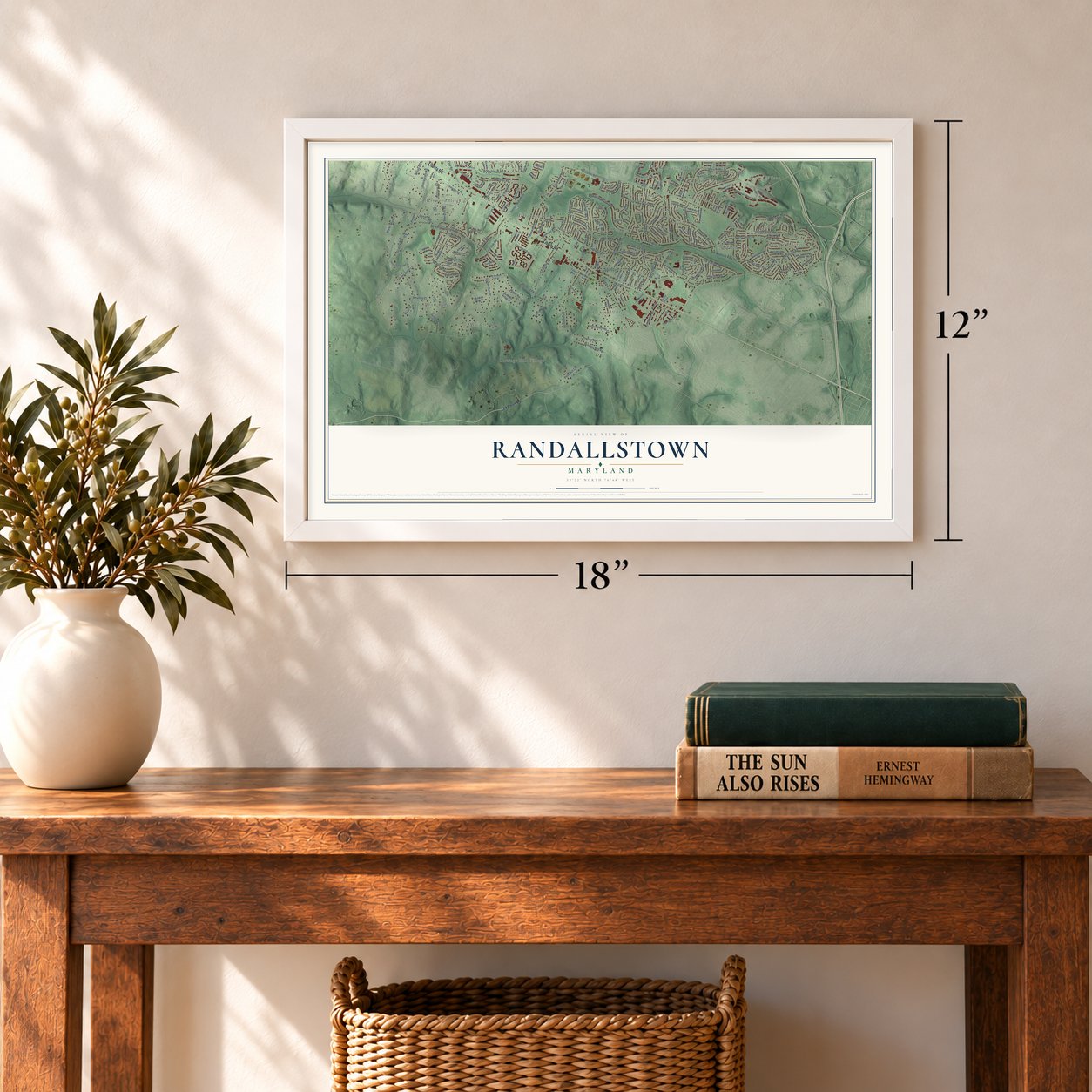
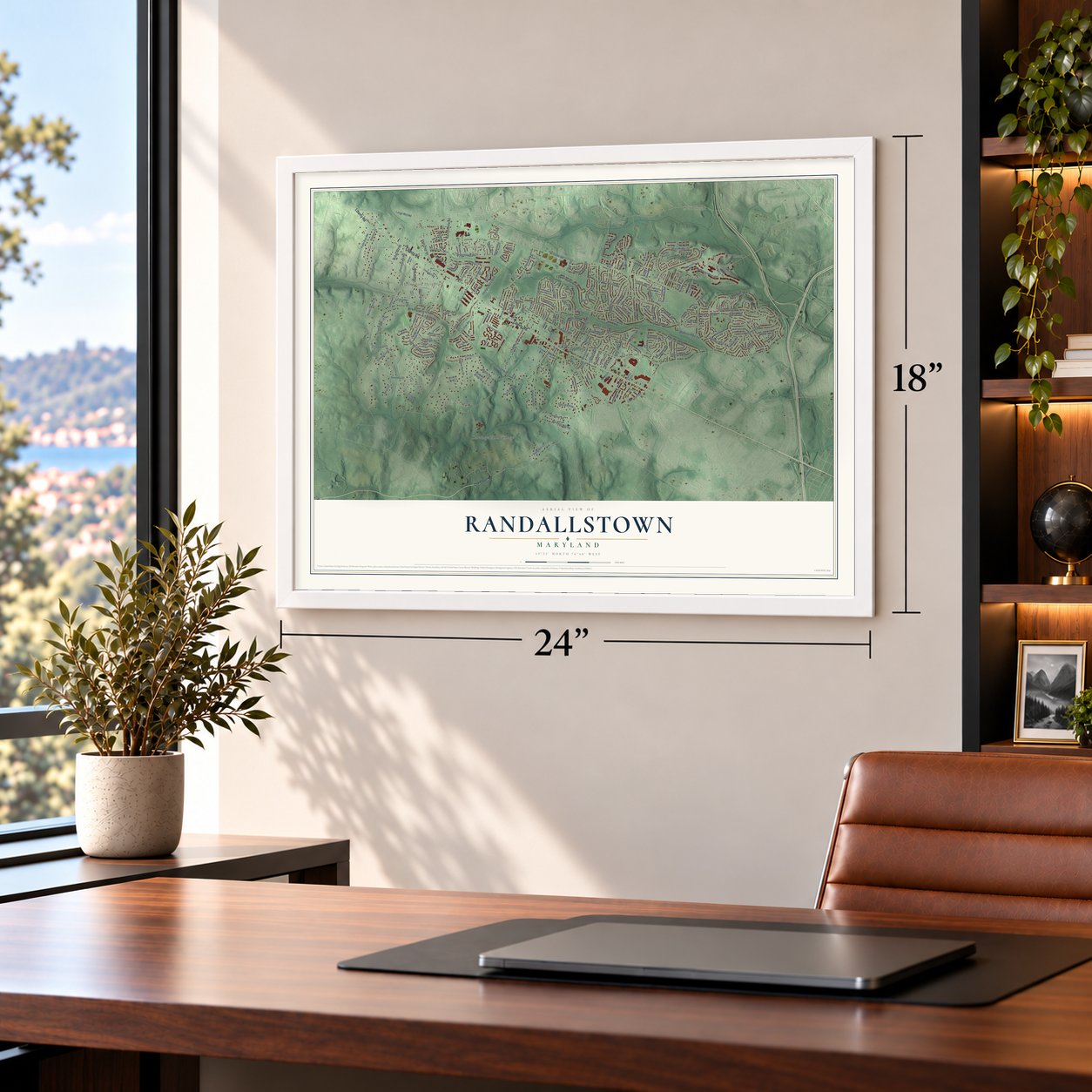
Randallstown, Maryland Map Art
Building by building, with labeled streets and shaded relief.
12" x 18" Archival Matte Print
A Map of Home. A Work of Art.
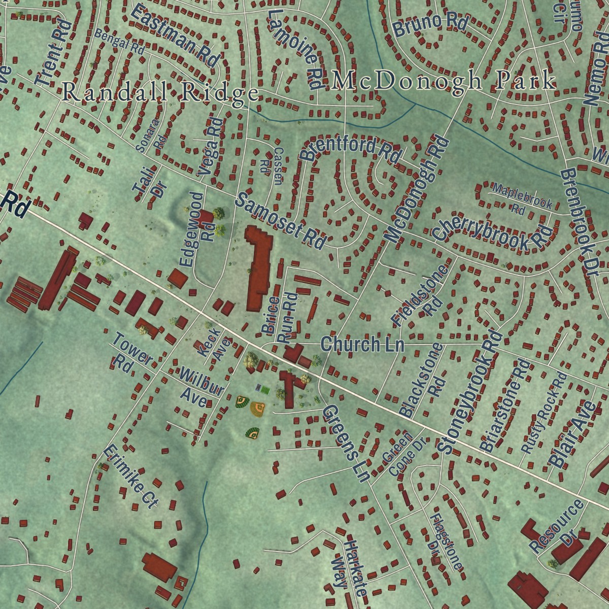
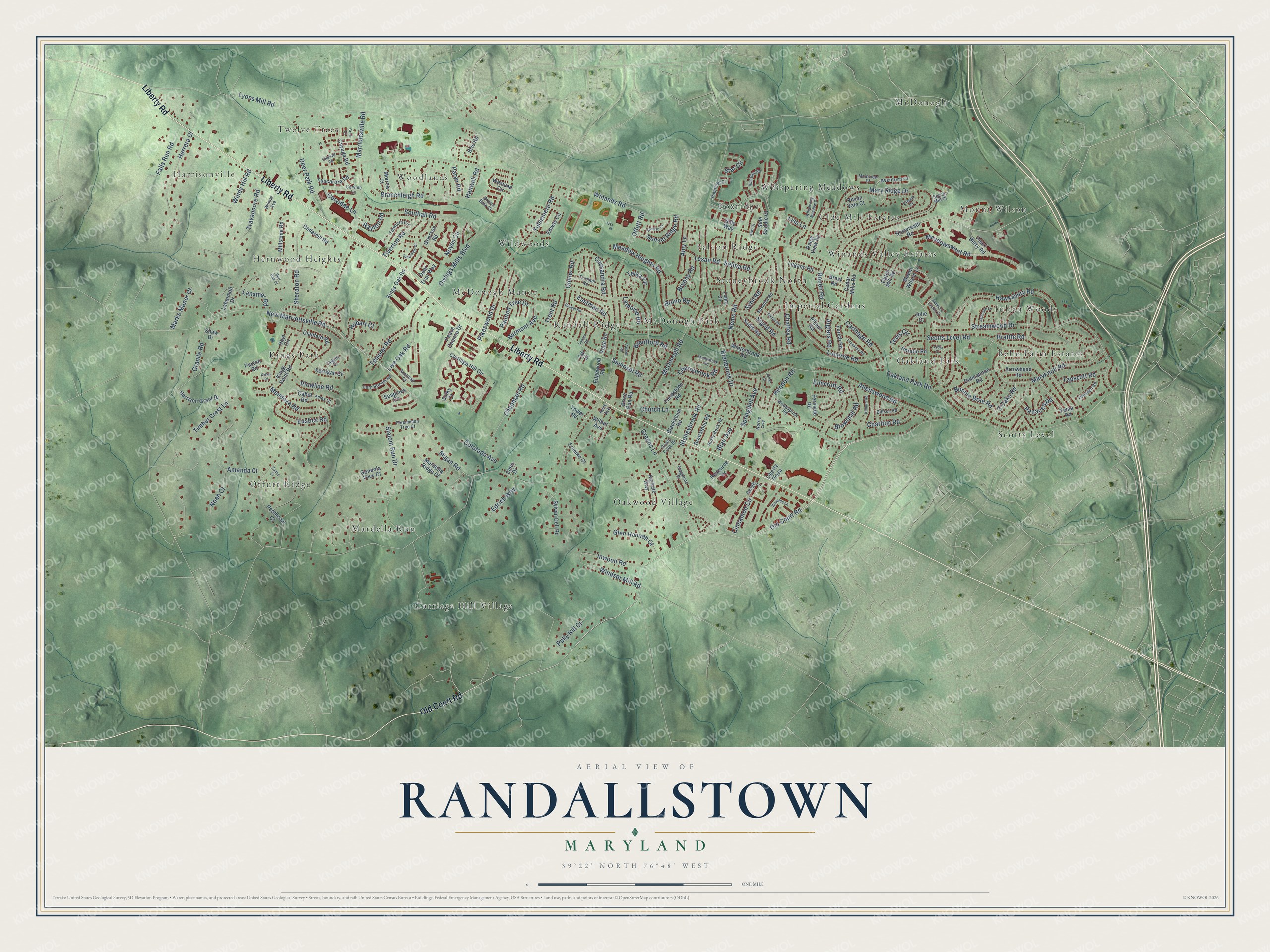
Explore Randallstown, Maryland from a whole new perspective. Created using aerial imagery and detailed geographic data, this map captures Randallstown building by building, with labeled streets, familiar landmarks, and shaded topographical relief that highlights the natural contours of the landscape.
Combining modern data with the timeless character of a vintage atlas, this map is just as interesting up close as it is beautiful on the wall. Whether you grew up in Randallstown, spent memorable years there, or call it home today, this unique map is a great way to celebrate a place that means something to you. Zoom in on the preview to look for your street, and then order a print to put your memories on the wall.
Three ways to hang it
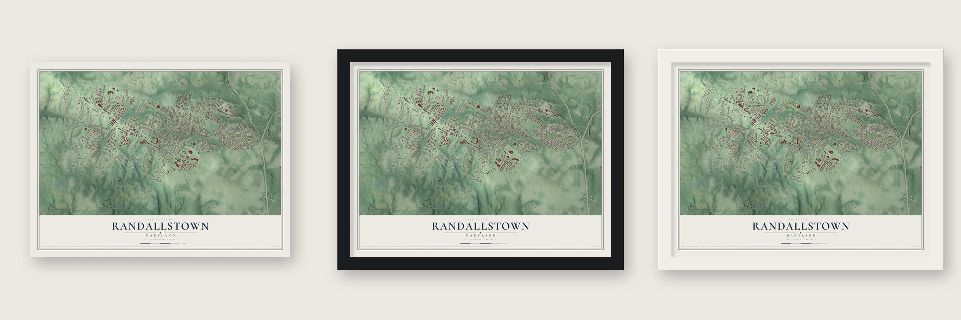
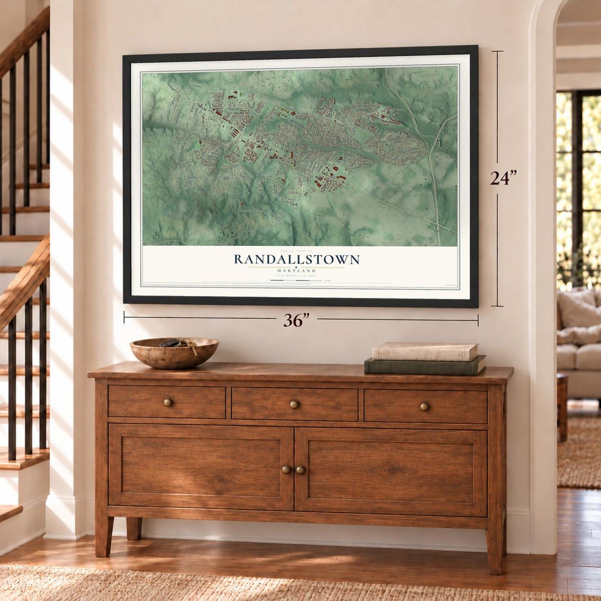
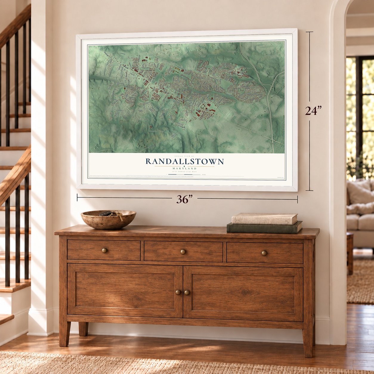
Unframed archival matte, a black wood frame or a white wood frame.
Up close
Geography Worth Displaying
This map was created using accurate cartographic data and authoritative geographic sources, including the U.S. Geological Survey and the Census Bureau. The map brings together terrain, waterways, roads, and building detail. The majority of the streets are labeled, houses are accurately depicted, and the topography is derived from government sources. Combining local data with carefully composed color and shading leads to this beautifully detailed Randallstown artwork for your wall.
Rather than simply showing street outlines, we’ve included as many of the street names as we could reasonably fit on the map while keeping their names legible. Zoom in on the high resolution preview to see exactly what’s on the map. We truly set out to create a statement piece for anyone who loves Randallstown. So whether it’s for you, or a gift for someone you love, we hope this map of Randallstown brings back fond memories.
Read the story behind this map of Randallstown, Maryland from 2026.
Find your street
Names on the Randallstown map
Every name below is printed on this map. Look for your street, your school, the park where you played, or the pond down the road.
Places and landmarks26
- Mount Wilson
- Harrisonville
- Carriage Hill Village
- Falcon Ridge
- Oakwood Village
- Scotts Level
- Kings Park
- Wildwoods
- Olde Mill Estates
- Offutt Ridge
- Julian Woods
- McDonogh Park
Show all 26 places
- McDonogh
- Twelve Trees
- Hernwood Heights
- McDonogh Manor
- Oakland Park
- Woodlands
- Mardella Run
- Imperial Gardens
- Randall Ridge
- Foxridge
- Belle Farm Estates
- Whispering Meadows
- Winands Valley Estates
- Stoneybrook North
Streets and roads210
- Liberty Road
- Old Court Road
- Winands Road
- Offutt Road
- Marriottsville Road
- Allenswood Road
- Lyons Mill Road
- McDonogh Road
- Brenbrook Drive
- Granite Road
- Meadow Heights Road
- Mary Ridge Drive
- Church Lane
- Streamwood Drive
- Hawksbury Road
- Scotts Level Road
- New Marriottsville Road
- Lucerne Road
- Chapman Road
- Carthage Road
- Owings Mills Boulevard
- Maryknoll Road
- Tulsemere Road
- Branchleigh Road
- Samoset Road
- Slalom Run Drive
- Mendoza Road
- Greens Lane
- Southall Road
- Bonnie Brae Road
Show all 210 streets
- Nemo Road
- Deer Park Road
- Meadowsweet Road
- Tiverton Road
- Pikeswood Drive
- Elmcroft Road
- Stoneybrook Road
- Cinnamon Circle
- Sheraton Road
- Travancore Road
- Live Oak Road
- Herrera Court
- Brattle Road
- Windsor Mill Road
- Noyes Circle
- Collier Road
- Charlton Road
- Lisa Lane
- Hanwell Road
- Eustice Road
- Amanda Court
- Brentford Road
- Terka Circle
- Sigrid Road
- Brownhill Road
- Burmont Avenue
- Falls Run Road
- Inwood Road
- Plowline Road
- Templar Road
- Windy Hill Road
- Cassandra Road
- Sunset Ridge Road
- Polly Hill Court
- Lanamer Road
- Timber Crest Lane
- Glen Hannah Court
- Chaffey Road
- Edrich Way
- Eastman Road
- Migan Road
- 3 Oaks Road
- Marks Manor Court
- Springdell Avenue
- Amy Lane
- Hendon Road
- Tapscott Road
- Sybil Road
- Rouen Road
- Painted Tree Drive
- Noah Court
- Cherrybrook Road
- Oakland Park Road
- Bryony Road
- Lesan Road
- Paran Road
- Trent Road
- Cervidae Lane
- Star Circle
- Algiers Road
- Panacea Road
- Colorado Avenue
- Hobart Court
- Tevis Circle
- Lamoine Road
- Blair Avenue
- Bruno Road
- Rayton Road
- Selina Road
- Mount Wilson Lane
- Carriage Hill Circle
- Peddicoat Court
- Millstone Road
- Kings Point Road
- Cedarhill Road
- Liberty Plaza
- Arrowhead Road
- Hoyt Circle
- Kings Oak Road
- Paige View Road
- Fernside Road
- Fieldstone Road
- Kerrigan Court
- Clanford Road
- Harkate Way
- Laburman Drive
- Harrison Grant Drive
- Mardella Ridge Court
- Brice Run Road
- Edway Circle
- Sylvan Dell Road
- Sadie Road
- Lumo Circle
- Winterbrook Road
- Gilly Way
- Seapines Circle
- Tuscarora Road
- Side Saddle Court
- Gondola View Court
- Wesland Circle
- Duncannon Road
- Aventura Court
- Dutch Mill Road
- Cabot Road
- Edgewood Road
- Zurich Road
- Cayuga Road
- Pilsen Road
- Lugano Road
- Briarstone Road
- Peace Chance Drive
- Pearl Berry Road
- Cedar Mills Road
- Grierson Road
- Brie Road
- Snowreath Road
- Paxton Road
- Vega Road
- Blackstone Road
- Brest Road
- Horatio Road
- Erimike Court
- Resource Drive
- Vivian Vale Court
- Morrow Court
- Deer Trail Way
- Wilbur Avenue
- Sulky Court
- Tema Road
- Tower Road
- Jolie Court
- Shaw Drive
- Tali Drive
- Elmo Drive
- Susanna Road
- Persimmon Tree Court
- Brown Bark Circle
- Pinefield Court
- Tolworth Circle
- Woodspring Road
- Axehead Court
- Rusty Rock Road
- Turnbull Road
- Cervine Lane
- Corn Stream Road
- Beagle Lane
- Dresden Road
- Billson Road
- Spyce Mill Court
- Green Cone Drive
- Mainview Court
- Laguna Court
- Wilmar Avenue
- Flagstone Drive
- Elwell Court
- Ames Court
- Keck Avenue
- Norris Avenue
- Whispering Meadow Drive
- Bengal Road
- Kilburn Road
- Sonara Road
- Lausanne Road
- Sonya Road
- Huntshire Road
- Maplebrook Road
- Cassen Road
- Sunrise Court
- Jameson Lane
- Ojibway Road
- Innerdale Court
- Bramble Lane
- Rebecca Lauren Court
- Kiwi Court
- Zadoc Court
- Kiska Court
- Burr Oak Court
- Julian Court
- Lydia Court
- Cree Court
Names are listed as they appear on the printed map. Zoom into the product photos to find them.
About Randallstown, Maryland
Randallstown is a community of 33,655 people in Baltimore County, and it has grown into a suburb of Baltimore. It started in the first half of the 1700s as a crossroads where the Randall brothers, who came from England, ran a tavern for travelers.
In those early years the crossroads stood at a tollgate on the Liberty Turnpike, a major road running east and west. Its older name was Soldiers Delight Road, but by the early 1800s people called it Liberty Road because it carried travelers to Libertytown in Frederick County. By 1850 the place counted roughly fifty people, with a pair of stores and one tavern, and by 1880 it had grown to 100.
- Union Bethel since 1826Union Bethel A.M.E. Church dates to 1826, which makes it the oldest African American congregation in Randallstown. Near the close of the 1800s, two Black neighborhoods took shape here. One was Win-Oak, where Winands and Oakland Park roads meet, and the other grew up along Church Lane.
- A new majority in the 1990sAs Randallstown grew into a Baltimore suburb, it became a majority African American community during the 1990s. By 2020, 72 percent of its people were African American. The Winands Road Synagogue Center served the area from 1968 to 2019.
- The subway that stopped shortPlanners once picked Randallstown as the end of the line for the Baltimore Metro Subway. The tracks were finally built only as far as nearby Owings Mills, so the town has no station of its own.
Keep exploring Maryland
Randallstown is one of 881 Maryland towns we've mapped. Every dot on the map is a print of its own.
The search covers every state, Maryland first.
Near Randallstown
Order 2 or more town maps and save 10%. Shown in the size and finish you picked above, so they hang as a set.
- Milford Mill 12" x 18" / Archival Matte Print $39.99
- Hernwood 12" x 18" / Archival Matte Print $39.99
- Owings Mills 12" x 18" / Archival Matte Print $39.99

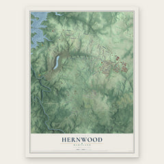
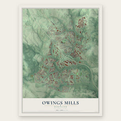
More maps nearby: Garrison, Lochearn, Fallstaff, Woodlawn and Reisterstown Station.
The art of mapping a place
How This Map Was Made
Real places. Remarkable detail. Discover the layers that turn geographic data into a map of home.

The view from above
Aerial imagery reveals the character of the land: woodland, open fields, and the patterns of a place.

The shape of the land
Elevation data brings hills, valleys, and subtle changes in the landscape into view.

The details of home
Roads, waterways, and building footprints come together to make the map feel unmistakably local.

Geography becomes art
Considered color, shading, and typography bring the layers together in a map made for your wall.


Process illustrated with Mendon, Massachusetts. Aerial imagery: USDA NAIP. Terrain: USGS 3D Elevation Program. Map details and finished artwork: KNOWOL.
The Details
About This Print
Choose an archival matte print, or a black or white Ayous wood frame. The archival matte print is unframed.
Select your size and finish above to see the matching product image and price.
Materials & Craftsmanship
A contemporary map with the character of a classic atlas, printed on archival matte paper. Optional frames are made from Ayous wood.
Your printed map does not include the watermark shown in the full-map preview.
Shipping & Delivery
Free shipping within the United States. Every print is made to order in the USA.
Buying a gift? Add a note in your cart and we'll include it. We never put prices in the package.
Prints ship within 2 to 3 business days. Allow 7 to 10 days total from ordering for delivery. Timing may vary during holidays or periods of high order volume.
Read our shipping policy.
Returns and damaged prints
Each print is made to order. Change-of-mind refunds are not available after production.
If your print arrives damaged, misprinted or incorrect, contact support@knowol.com within 30 days of receiving it. Include your order number, photos and a description of the issue.
Read our full refund and replacement policy. For questions about your order, email support@knowol.com.