
Search for another town
Free U.S. delivery 7 to 10 days after you order
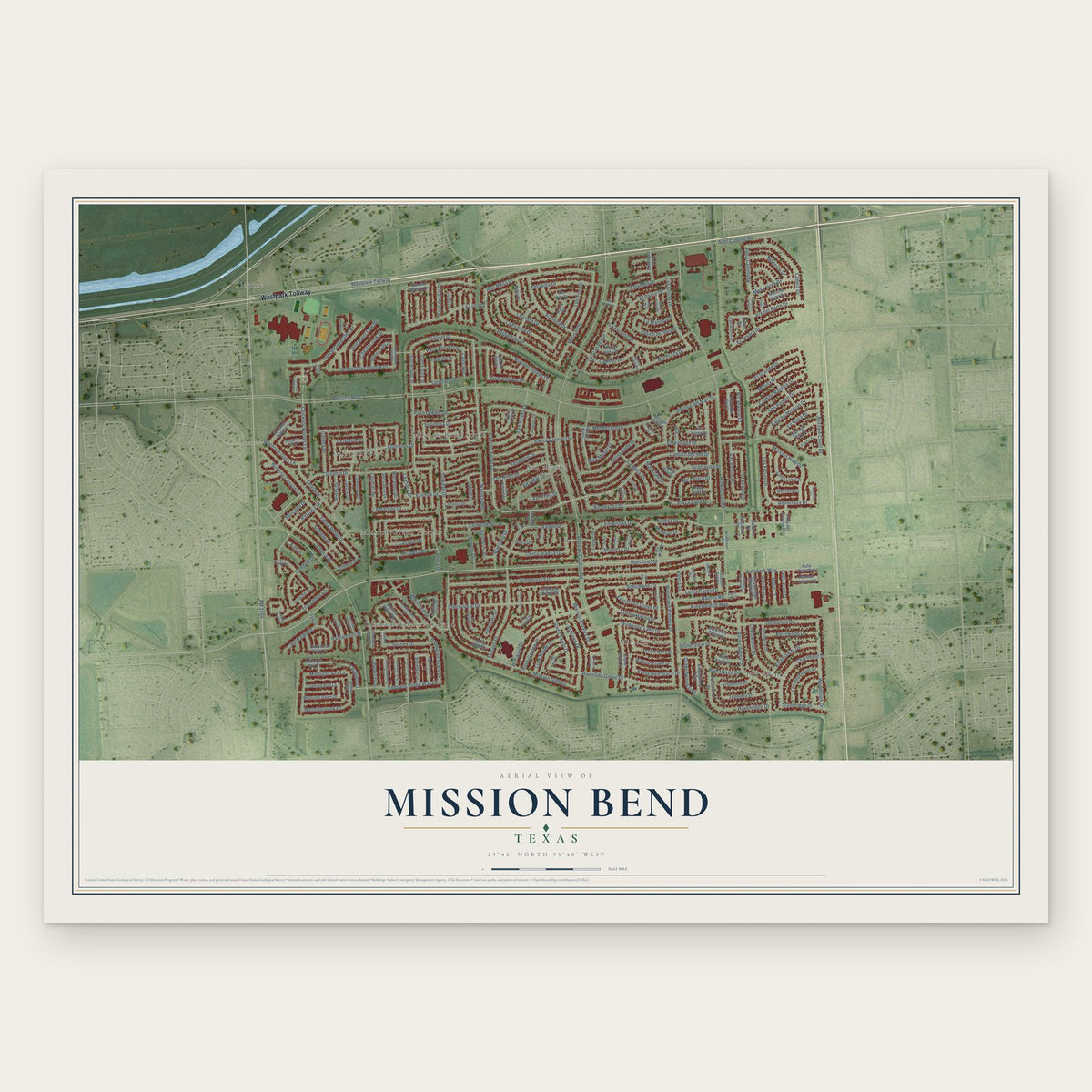
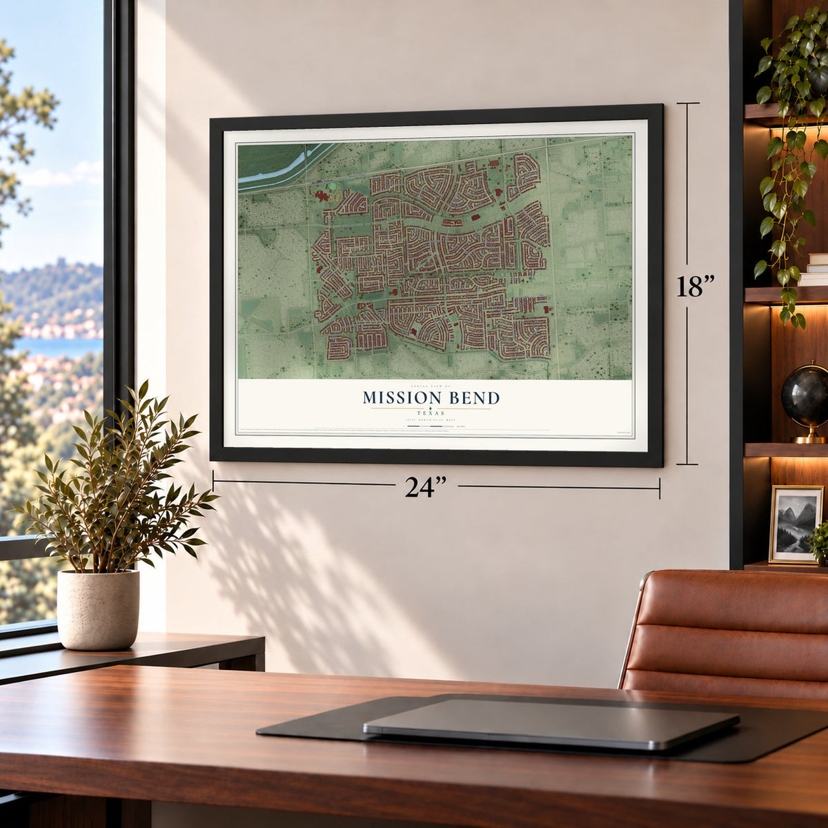
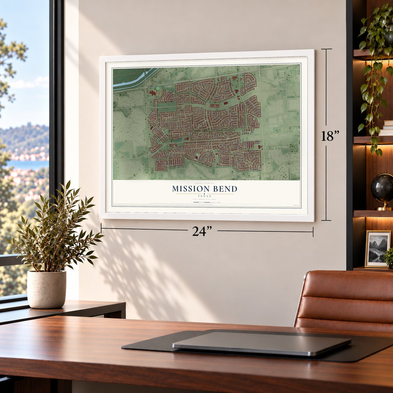
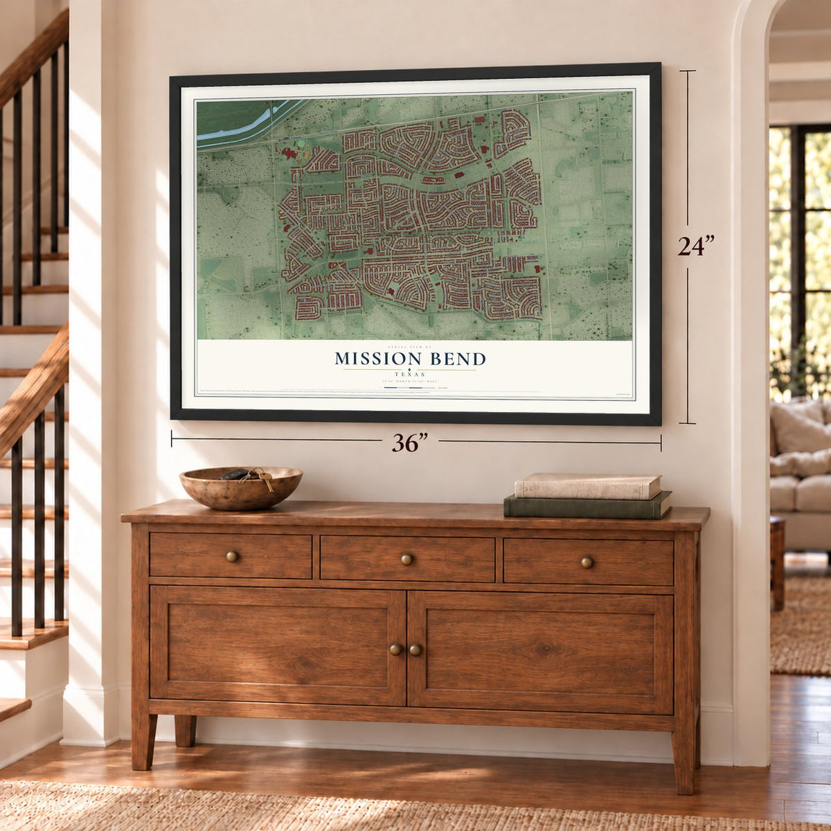
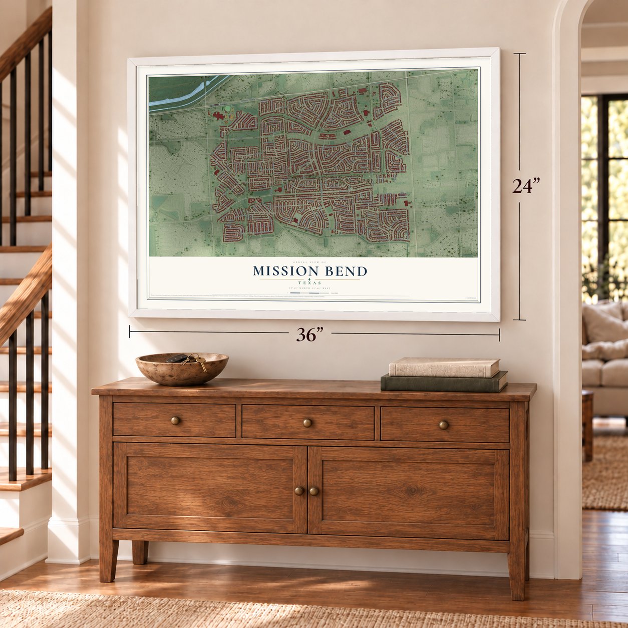
Mission Bend, Texas Map Art
Building by building, with labeled streets and shaded relief.
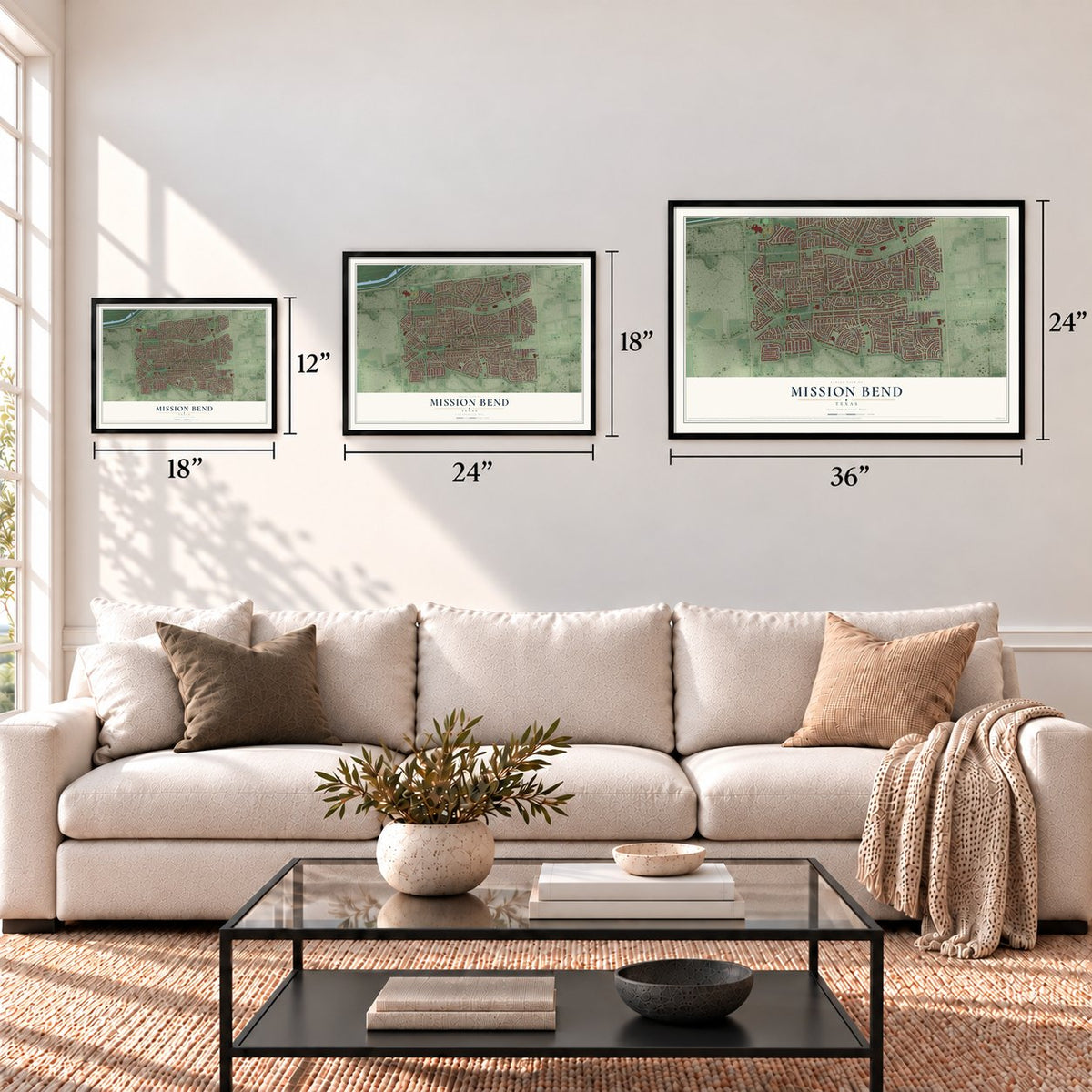
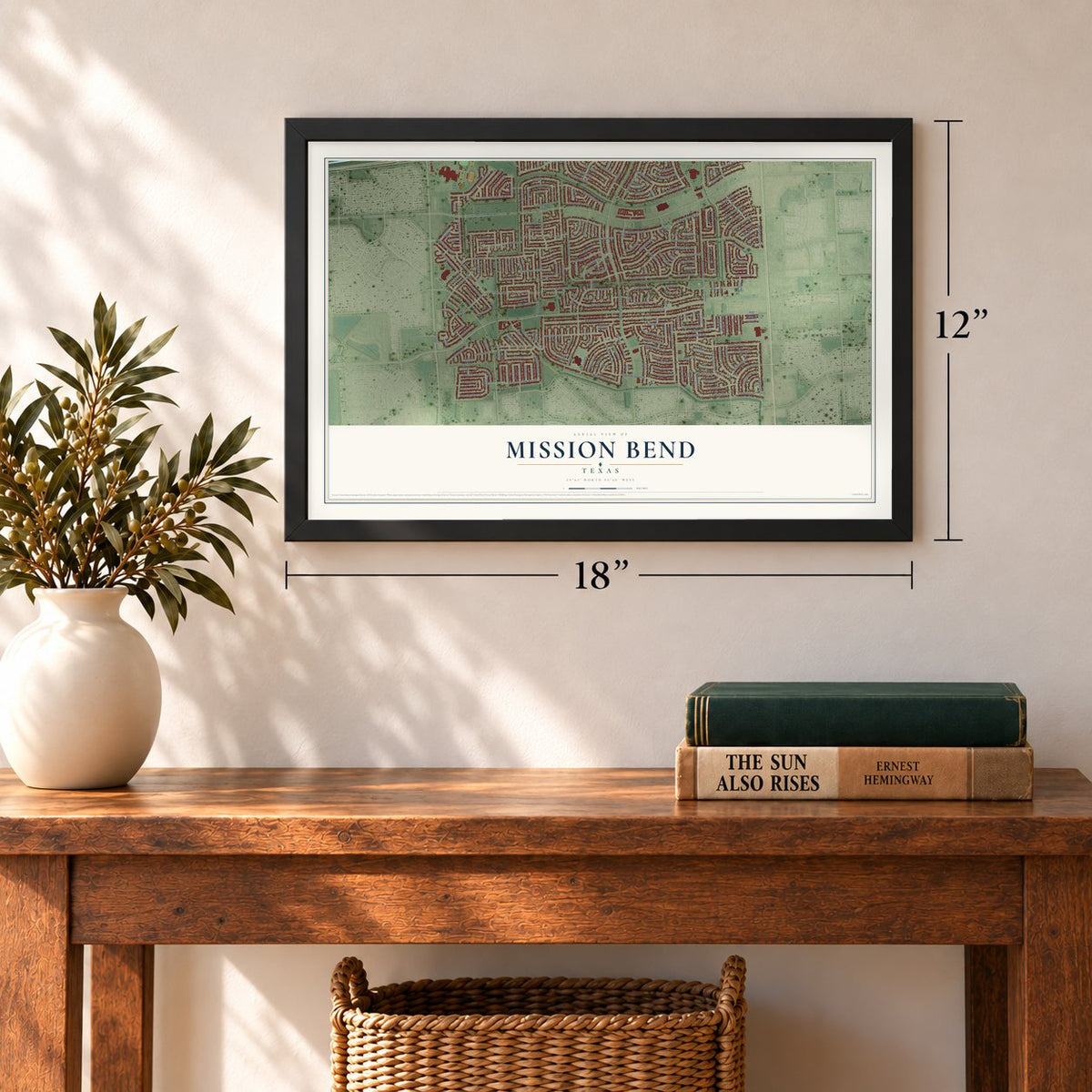
12" x 18" Archival Matte Print
A Map of Home. A Work of Art.
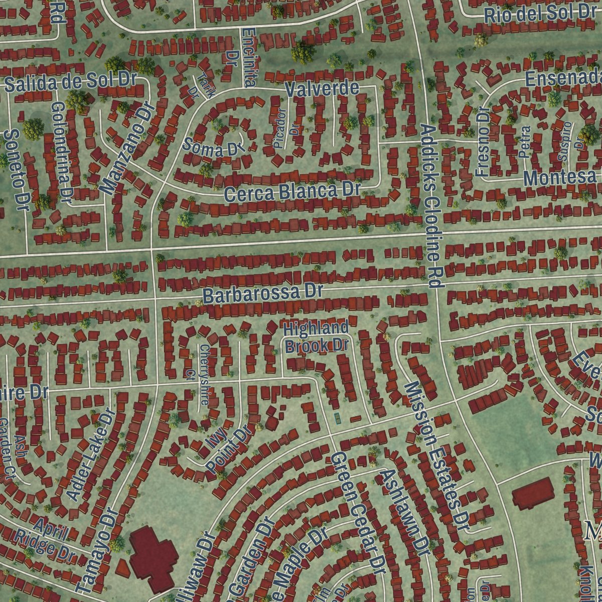
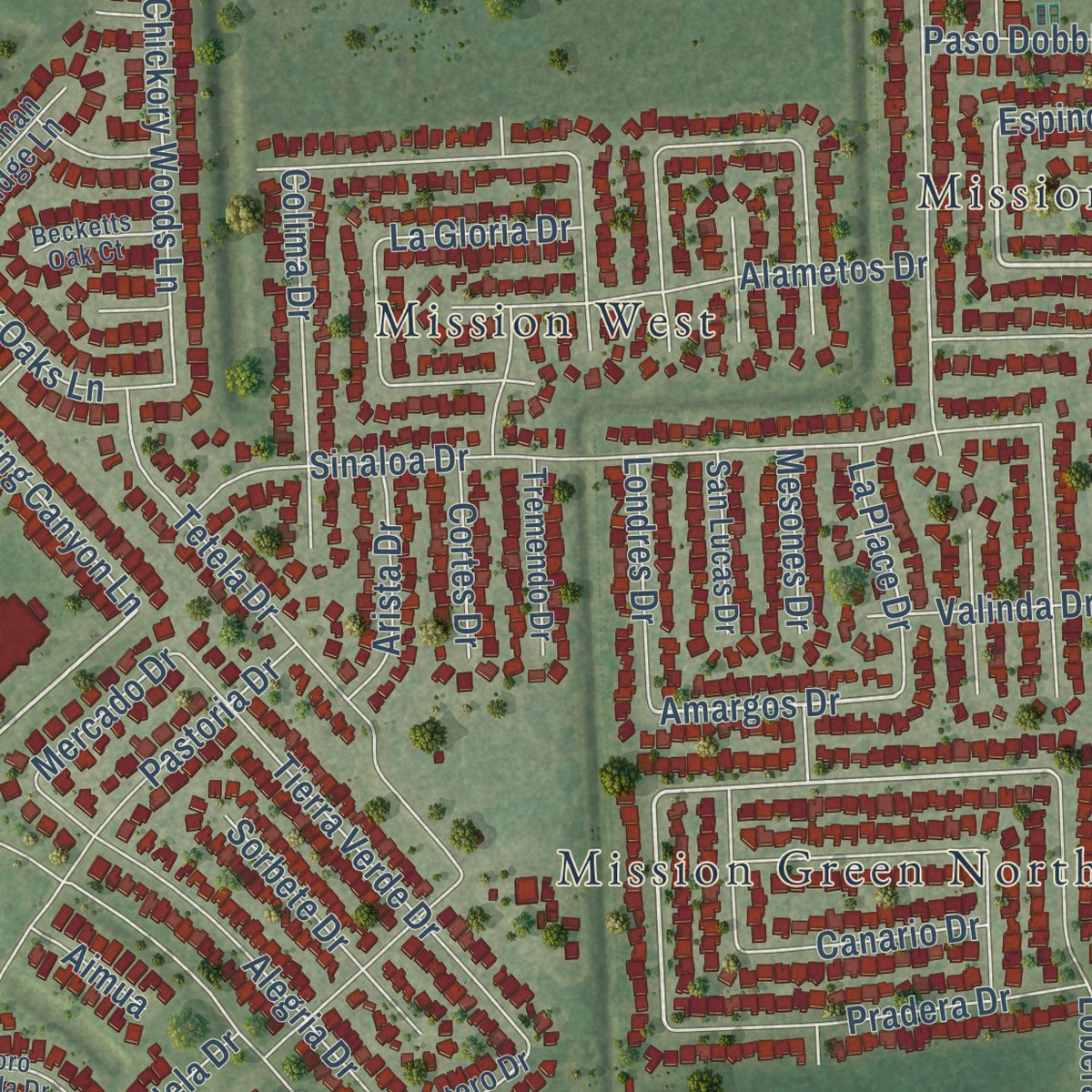
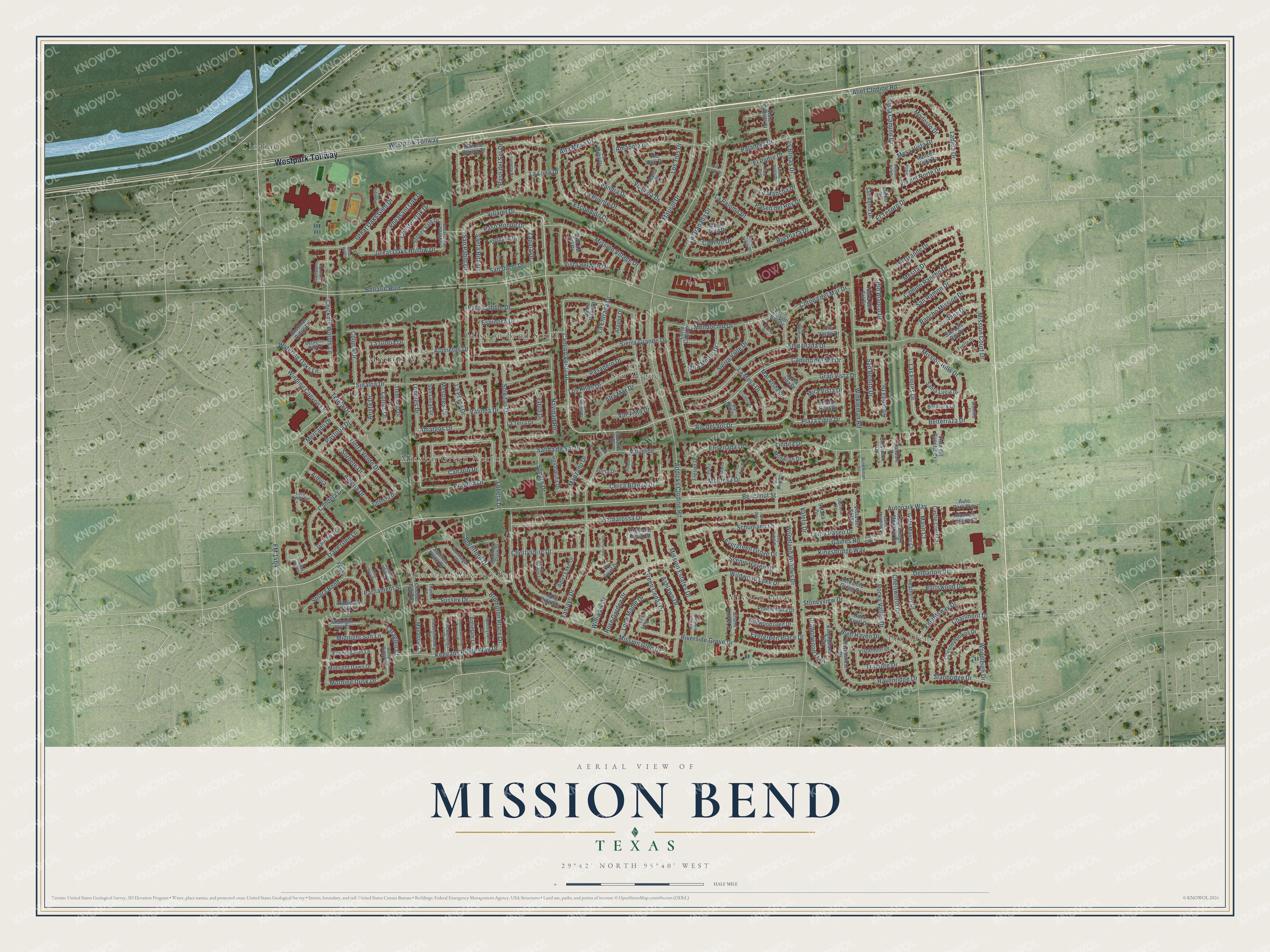
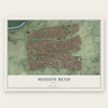
Explore Mission Bend, Texas from a whole new perspective. Created using aerial imagery and detailed geographic data, this map captures Mission Bend building by building, with labeled streets, familiar landmarks, and shaded topographical relief that highlights the natural contours of the landscape.
Combining modern data with the timeless character of a vintage atlas, this map is just as interesting up close as it is beautiful on the wall. Whether you grew up in Mission Bend, spent memorable years there, or call it home today, this unique map is a great way to celebrate a place that means something to you. Zoom in on the preview to look for your street, and then order a print to put your memories on the wall.
Three ways to hang it
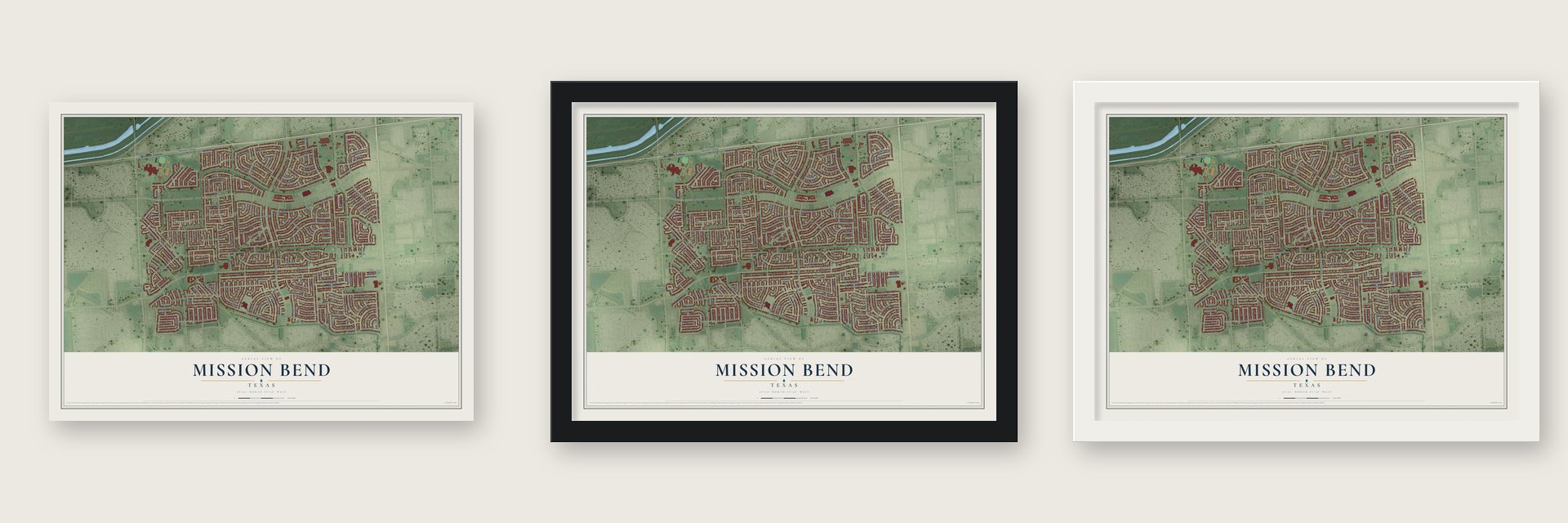
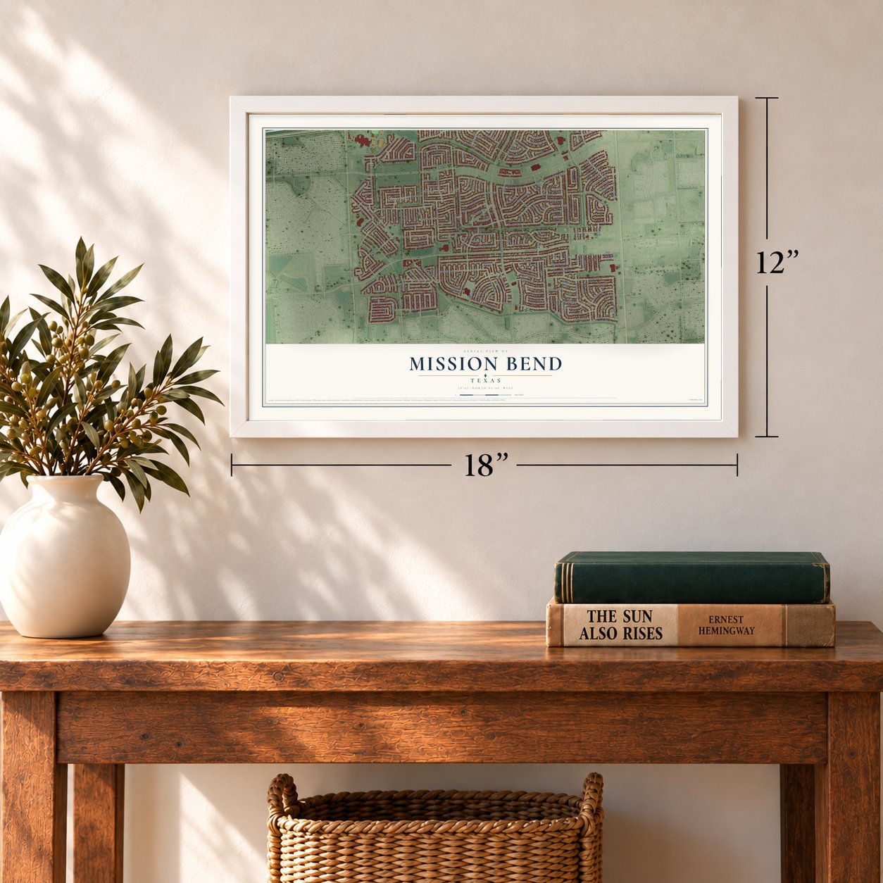
Unframed archival matte, a black wood frame or a white wood frame.
Up close
Geography Worth Displaying
This map was created using accurate cartographic data and authoritative geographic sources, including the U.S. Geological Survey and the Census Bureau. The map brings together terrain, waterways, roads, and building detail. The majority of the streets are labeled, houses are accurately depicted, and the topography is derived from government sources. Combining local data with carefully composed color and shading leads to this beautifully detailed Mission Bend artwork for your wall.
Rather than simply showing street outlines, we’ve included as many of the street names as we could reasonably fit on the map while keeping their names legible. Zoom in on the high resolution preview to see exactly what’s on the map. We truly set out to create a statement piece for anyone who loves Mission Bend. So whether it’s for you, or a gift for someone you love, we hope this map of Mission Bend brings back fond memories.
Read the story behind this map of Mission Bend, Texas from 2026.
Find your street
Names on the Mission Bend map
Every name below is printed on this map. Look for your street, your school, the park where you played, or the pond down the road.
Places and landmarks8
- Mission West
- Providence
- Chelsea at Mission Bend
- San Miguel
- Clodine
- Mission Glen
- Mission Green North
- Mission Bend South
Streets and roads274
- Westpark Tollway
- Camino del Sol Drive
- Navidad Road
- Las Brisas Drive
- Camino Verde Drive
- Alametos Drive
- Rio del Sol Drive
- Plaza Libre Drive
- FM 1464
- Beechnut Street
- La Granada Drive
- Santa Rita Drive
- Villaret Drive
- Las Flores Drive
- Empanada Drive
- Londres Drive
- Vista Camino Drive
- Loma Paseo Drive
- Amargos Drive
- Alief Clodine Road
- Addicks Clodine Road
- Marisol Drive
- Gran Vista Drive
- Mission Estates Drive
- Mira Monte Drive
- Autopark Way
- Belterraza Drive
- Winkleman Road
- Barbarossa Drive
- Bellaire Boulevard
Show all 274 streets
- Soledad Drive
- Gaines Road
- Sierra Grande Drive
- San Pablo Drive
- Mission Glen Drive
- Mendocino Drive
- Delbarton Drive
- Tamayo Drive
- Lindita Drive
- Espinosa Drive
- Ensenada Drive
- Alta Mesa Drive
- Riverside Grove Drive
- Sinaloa Drive
- Paso del Sol Drive
- Escondido Drive
- Cherryshire Drive
- Rocky Valley Drive
- Williwaw Drive
- Los Altos Drive
- Rio Plaza Drive
- Woodland Willows Drive
- Candela Drive
- Pasadero Drive
- Salida de Sol Drive
- Lobera Drive
- Chickory Woods Lane
- Great Oaks Glen Drive
- La Paloma Drive
- La Puente Drive
- Ladera Drive
- Ashlawn Drive
- Pastoria Drive
- Tetela Drive
- Woodleigh Drive
- Schumann Lane
- Cerca Blanca Drive
- Cabildo Drive
- Leandra Drive
- Mission Village Drive
- Sierra Valle Drive
- La Luna Drive
- Mission Hills Drive
- Corona del Mar Drive
- Alcomita Drive
- Charlmont Drive
- Vialinda Drive
- El Padre Drive
- Tierra Verde Drive
- San Ramon Drive
- Wildwood Lake Drive
- Amapola Drive
- Solara Bend
- Kingsbridge Way
- Rancho Mission Drive
- Alegria Drive
- Keegans Ridge Way Drive
- Brentford Drive
- Tramore Drive
- Via del Norte Drive
- Chelsworth Drive
- Mission Court Drive
- Rose Garden Drive
- Scenic Haven Drive
- Zapata Drive
- Great Oaks Hollow Drive
- El Grande Drive
- Watering Oaks Lane
- Paso Dobble Drive
- Paladora Drive
- Mesita Drive
- El Tesoro Drive
- Montesa Drive
- Stoneyview Drive
- La Mesa Drive
- Pradera Drive
- Rio Blanco Drive
- San Benito Drive
- Camino Rancho Drive
- High Haven Drive
- Havenridge Drive
- Canario Drive
- La Entrada Drive
- Paso Hondo Drive
- Knightsway Drive
- Alta Mar Drive
- Pheasant Oak Drive
- Green Cedar Drive
- Winding Canyon Lane
- Arista Drive
- Evergreen Place Drive
- Brompton Place Drive
- Colima Drive
- Chester Oak Drive
- Mesones Drive
- Earlswood Drive
- Trace Glen Lane
- Evergreen Grove Drive
- Morning Dusk Drive
- Paseo del Rey Drive
- La Gloria Drive
- Modesto Drive
- Vista del Mar Drive
- Sussex Drive
- Mira Vista Drive
- Manzano Drive
- Los Tios Drive
- Valinda Drive
- Lone Maple Drive
- Mesa Vista Drive
- San Dario Drive
- Stanbridge Drive
- Soneto Drive
- La Mancha Drive
- Midnight Sun Lane
- Sorbete Drive
- Dragonwood Trail
- Valverde
- La Place Drive
- La Rana Drive
- Taraglen Court
- Mar Vista Drive
- Malin Court
- Parliament Street
- Val Vista Drive
- Cortes Drive
- Mercado Drive
- Hablo Drive
- Valeta Drive
- Aimua
- Delgado Drive
- Vista del Sol Drive
- Knightsland Trail
- San Remo Drive
- Alannah Lagoon Court
- San Lucas Drive
- April Ridge Drive
- Grand Knolls Drive
- Rancho Blanco Drive
- Chesney Downs Drive
- San Luis Rey Drive
- Prairie Oaks Drive
- Heatherly Drive
- Plaza del Sol Drive
- Wildwood Glen Drive
- Stoney Vale Drive
- Midnight Dawn Drive
- Vista del Rancho Drive
- Evening Run Lane
- Squires Place Drive
- Wahl Manor Court
- Castle Crest Court
- Havencrest Drive
- Golondrina Drive
- Sherman Ridge Lane
- Berkshire Green Drive
- Vistamont Drive
- Santa Lucia Drive
- Adler Lake Drive
- Ivy Point Drive
- Vista Grande Street
- Chelsea Bend Court
- Kingsbridge Meadow Drive
- Rancho Vista Drive
- Mondrian Drive
- Manassas Lane
- Tremendo Drive
- Antietam Lane
- Auto Park Way
- La Terra Drive
- Monte Vista Drive
- Corte Calle Drive
- Siena Vista Drive
- Rock Knoll Drive
- Midnight Sky Court
- La Mora Drive
- Rio Dell Drive
- Gaucho Drive
- Bellflora Court
- Feliza
- Crestwick Drive
- Costero Drive
- Fresno Drive
- Halldale Drive
- Marta Drive
- Aragon Drive
- Via Verde Drive
- Soma Drive
- Paladora Park Lane
- Paso Real Drive
- Solana Drive
- Villa del Sol Drive
- Mission Bay Drive
- Highland Brook Drive
- Loma Alta Drive
- Encinita Drive
- Menlo Drive
- La Violetta Drive
- Winkleman Drive
- Loro Linda Drive
- Granvia Drive
- Ash Garden Court
- Worthington Drive
- Great Oaks Shadow
- Sonesta Point Lane
- Fredericksburg Lane
- Via Bella Drive
- Withers Ridge Drive
- Chickamauga Lane
- Spotslyvania Lane
- Paddington Place Drive
- Elm Lake Drive
- Hampton Glen Court
- San Simeon Drive
- Gaines Meadow Drive
- Fuerte Drive
- Mona Vista Drive
- Becketts Oak Court
- Hanlon Court
- Via Real Drive
- Sierra Trails Drive
- Tico Drive
- Glorieta Drive
- Montilla Court
- Petra
- Thames Lane
- Salta Drive
- Mission Bell Drive
- Chancellorsville Lane
- Viny Ridge Drive
- Aliso Canyon Lane
- Mission Terrace Drive
- El Cresta Drive
- Cherryshire Court
- Picador Drive
- Castle Gate Drive
- El Sereno Drive
- La Brea Street
- Suspiro Drive
- Morning Glen Lane
- Del Prado Drive
- El Sabio
- Great Hill Court
- Tarik Drive
Names are listed as they appear on the printed map. Zoom into the product photos to find them.
About Mission Bend, Texas
Mission Bend is a community of 36,914 people around Texas State Highway 6, on the line between Fort Bend and Harris counties. It lies 20 miles southwest of Downtown Houston and 4 miles northwest of Sugar Land's city hall. Its subdivisions went up in the early 1980s, and the area filled quickly, reaching 24,945 residents by 1990.
By 2000, many people who lived in Mission Bend drove to jobs in Houston. The community sits inside Houston's extraterritorial jurisdiction, and after 2000 the city annexed part of it for limited purposes.
- Two counties, two districtsFamilies on the Fort Bend side attend Fort Bend ISD schools, and those on the Harris side attend Alief ISD schools. George Bush High School stands in Mission Bend and serves its Fort Bend half, while students on the Alief side are assigned at random to Elsik, Hastings or Taylor high schools.
- Schools merged and closedMission Bend and Glen elementary schools combined in 2023 because fewer children were enrolling. In 2026 Fort Bend ISD faced a $56 million budget deficit and closed seven elementary schools, and Mission West Elementary was one of them.
Keep exploring Texas
Mission Bend is one of 2,049 Texas towns we've mapped. Every dot on the map is a print of its own.
The search covers every state, Texas first.
Near Mission Bend
Order 2 or more town maps and save 10%. Shown in the size and finish you picked above, so they hang as a set.
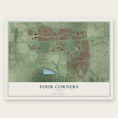
- Four Corners 12" x 18" / Archival Matte Print $39.99
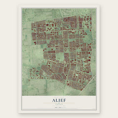
- Alief 12" x 18" / Archival Matte Print $39.99
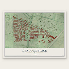
- Meadows Place 12" x 18" / Archival Matte Print $39.99
More maps nearby: Cinco Ranch, Pecan Grove, Memorial Parkway, Sugar Land and Stafford.
The art of mapping a place
How This Map Was Made
Real places. Remarkable detail. Discover the layers that turn geographic data into a map of home.

The view from above
Aerial imagery reveals the character of the land: woodland, open fields, and the patterns of a place.

The shape of the land
Elevation data brings hills, valleys, and subtle changes in the landscape into view.

The details of home
Roads, waterways, and building footprints come together to make the map feel unmistakably local.

Geography becomes art
Considered color, shading, and typography bring the layers together in a map made for your wall.


Process illustrated with Mendon, Massachusetts. Aerial imagery: USDA NAIP. Terrain: USGS 3D Elevation Program. Map details and finished artwork: KNOWOL.
The Details
About This Print
Choose an archival matte print, or a black or white Ayous wood frame. The archival matte print is unframed.
Select your size and finish above to see the matching product image and price.
Materials & Craftsmanship
A contemporary map with the character of a classic atlas, printed on archival matte paper. Optional frames are made from Ayous wood.
Your printed map does not include the watermark shown in the full-map preview.
Shipping & Delivery
Free shipping within the United States. Every print is made to order in the USA.
Buying a gift? Add a note in your cart and we'll include it. We never put prices in the package.
Prints ship within 2 to 3 business days. Allow 7 to 10 days total from ordering for delivery. Timing may vary during holidays or periods of high order volume.
Read our shipping policy.
Returns and damaged prints
Each print is made to order. Change-of-mind refunds are not available after production.
If your print arrives damaged, misprinted or incorrect, contact support@knowol.com within 30 days of receiving it. Include your order number, photos and a description of the issue.
Read our full refund and replacement policy. For questions about your order, email support@knowol.com.