
Search for another town


Free U.S. delivery 7 to 10 days after you order
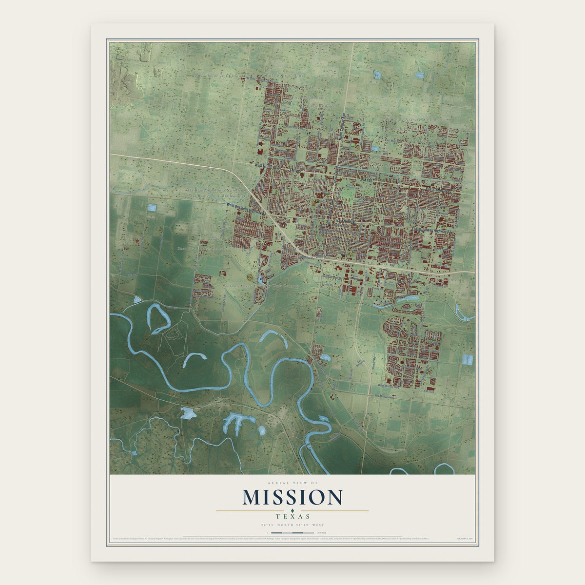
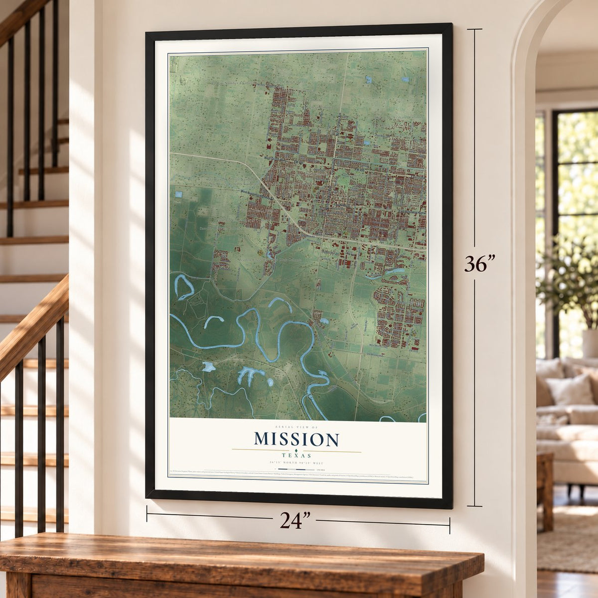
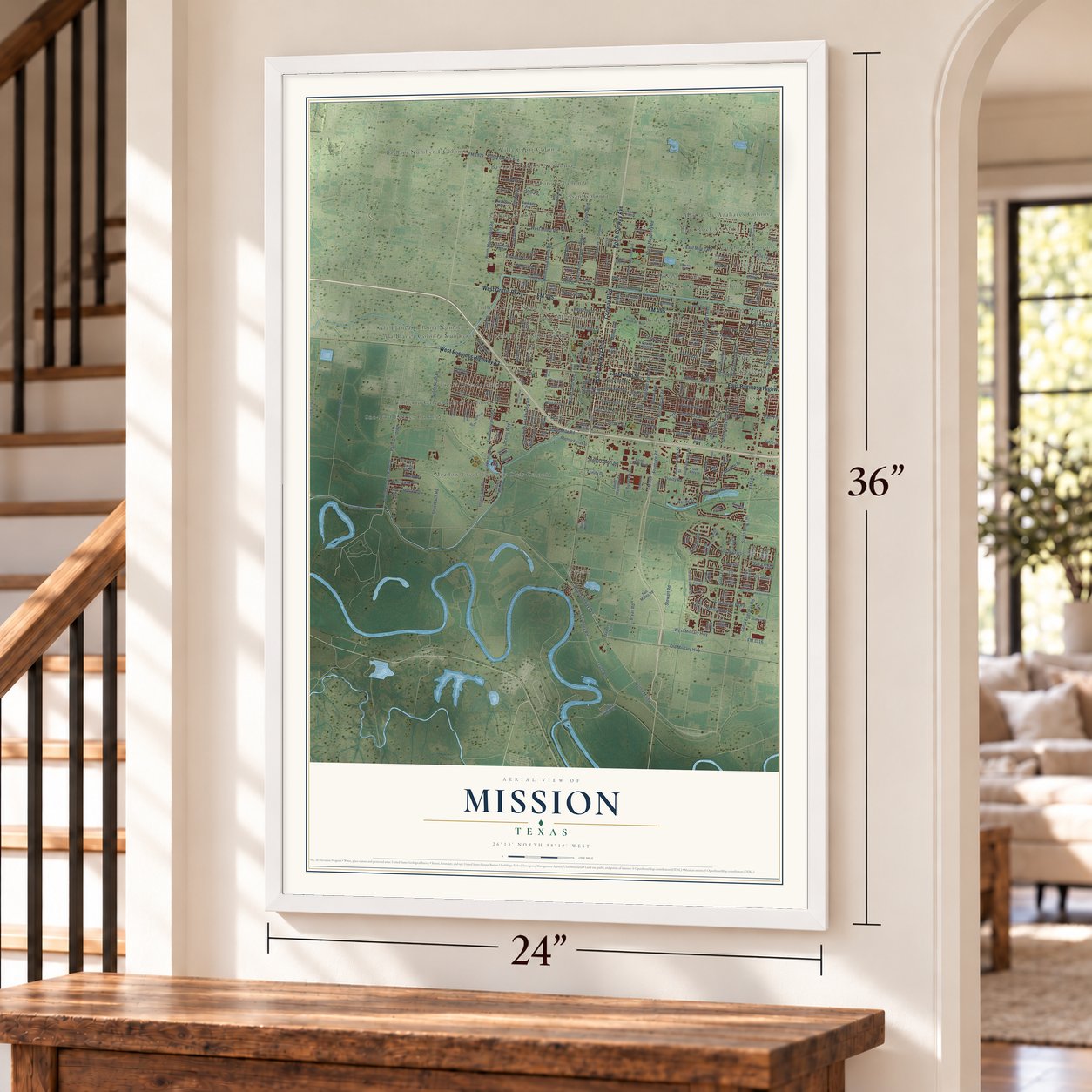
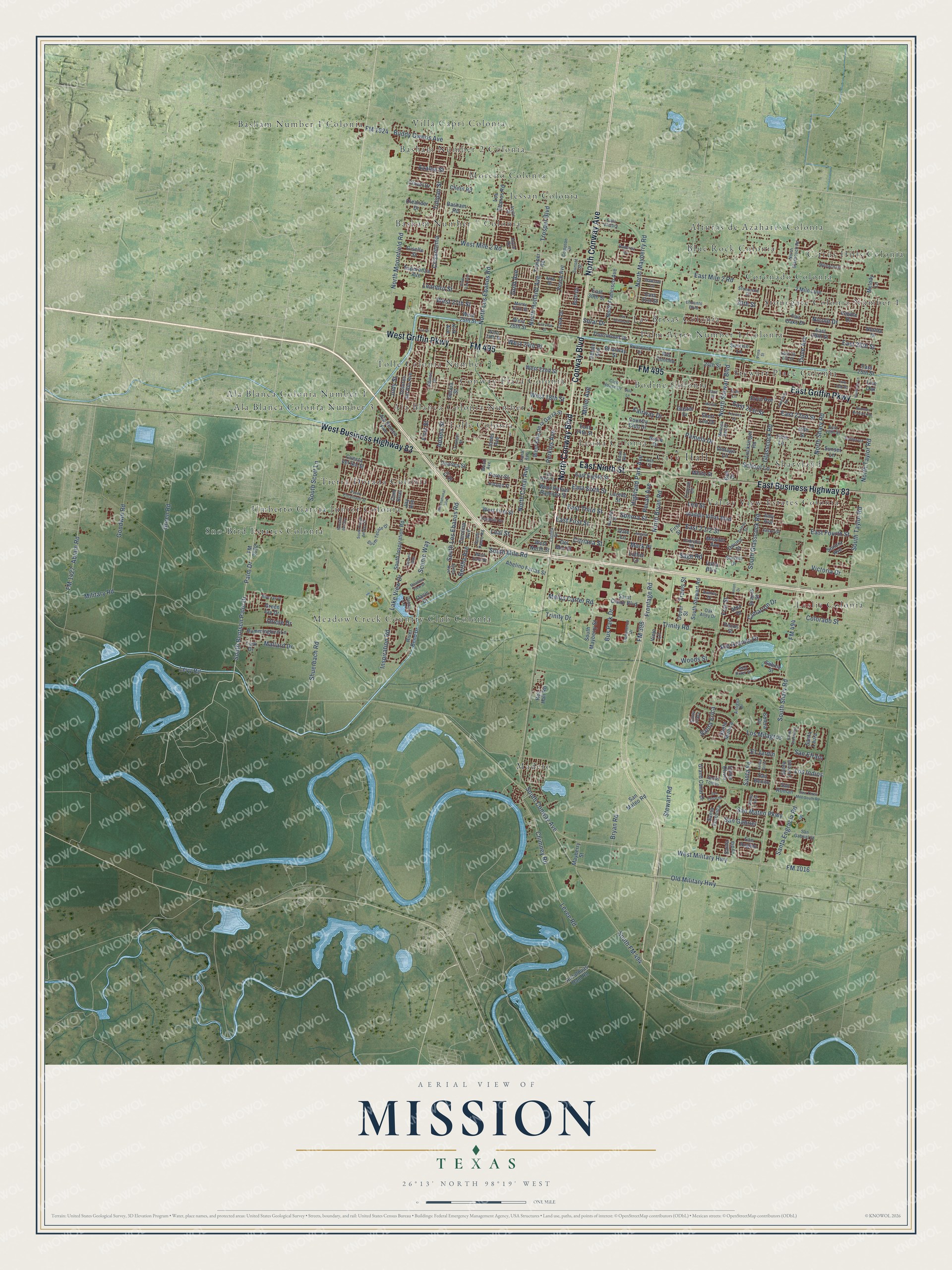
Mission, Texas Map Art
Building by building, with labeled streets and shaded relief.
12" x 18" Archival Matte Print
A Map of Home. A Work of Art.
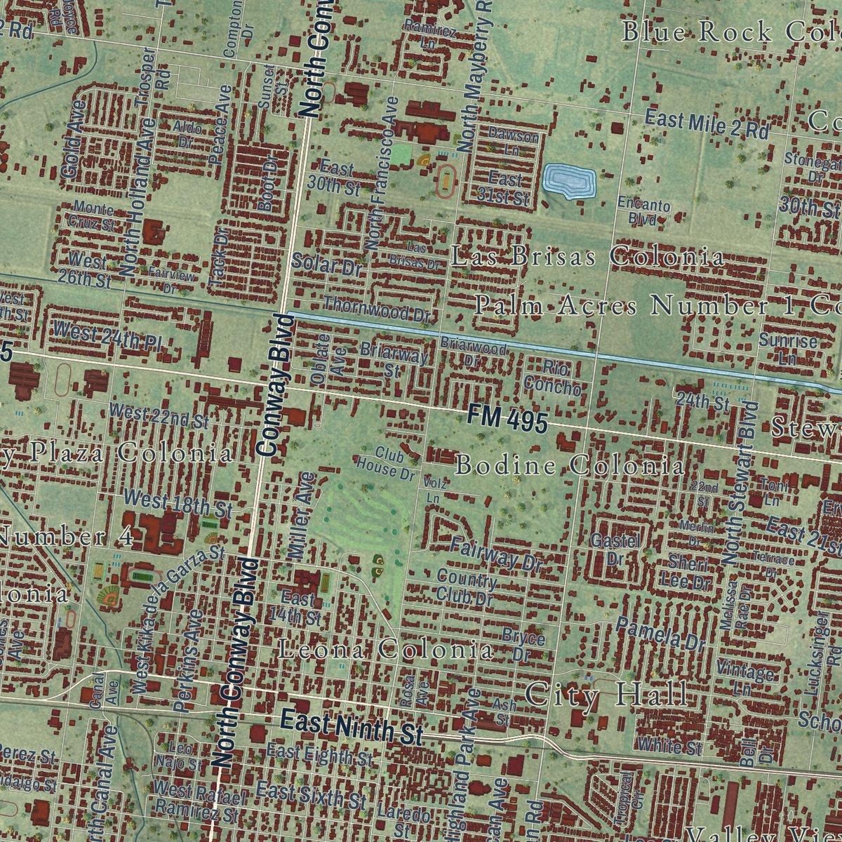
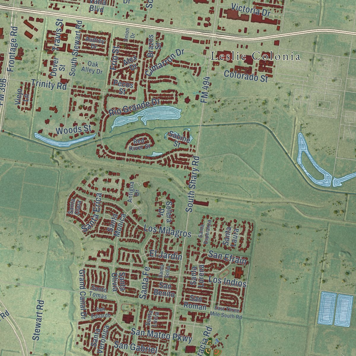
Explore Mission, Texas from a whole new perspective. Created using aerial imagery and detailed geographic data, this map captures Mission building by building, with labeled streets, familiar landmarks, and shaded topographical relief that highlights the natural contours of the landscape.
Combining modern data with the timeless character of a vintage atlas, this map is just as interesting up close as it is beautiful on the wall. Whether you grew up in Mission, spent memorable years there, or call it home today, this unique map is a great way to celebrate a place that means something to you. Zoom in on the preview to look for your street, and then order a print to put your memories on the wall.
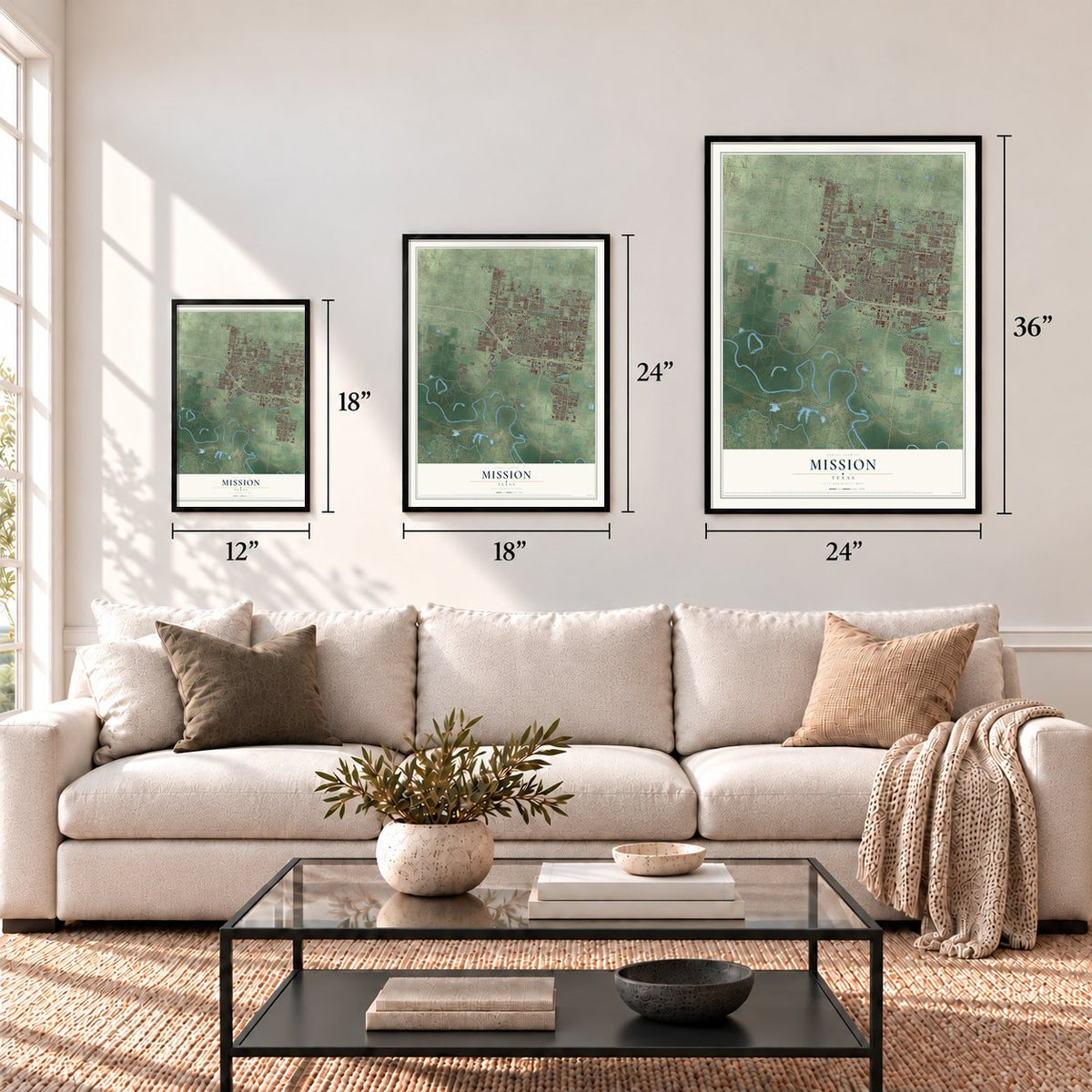
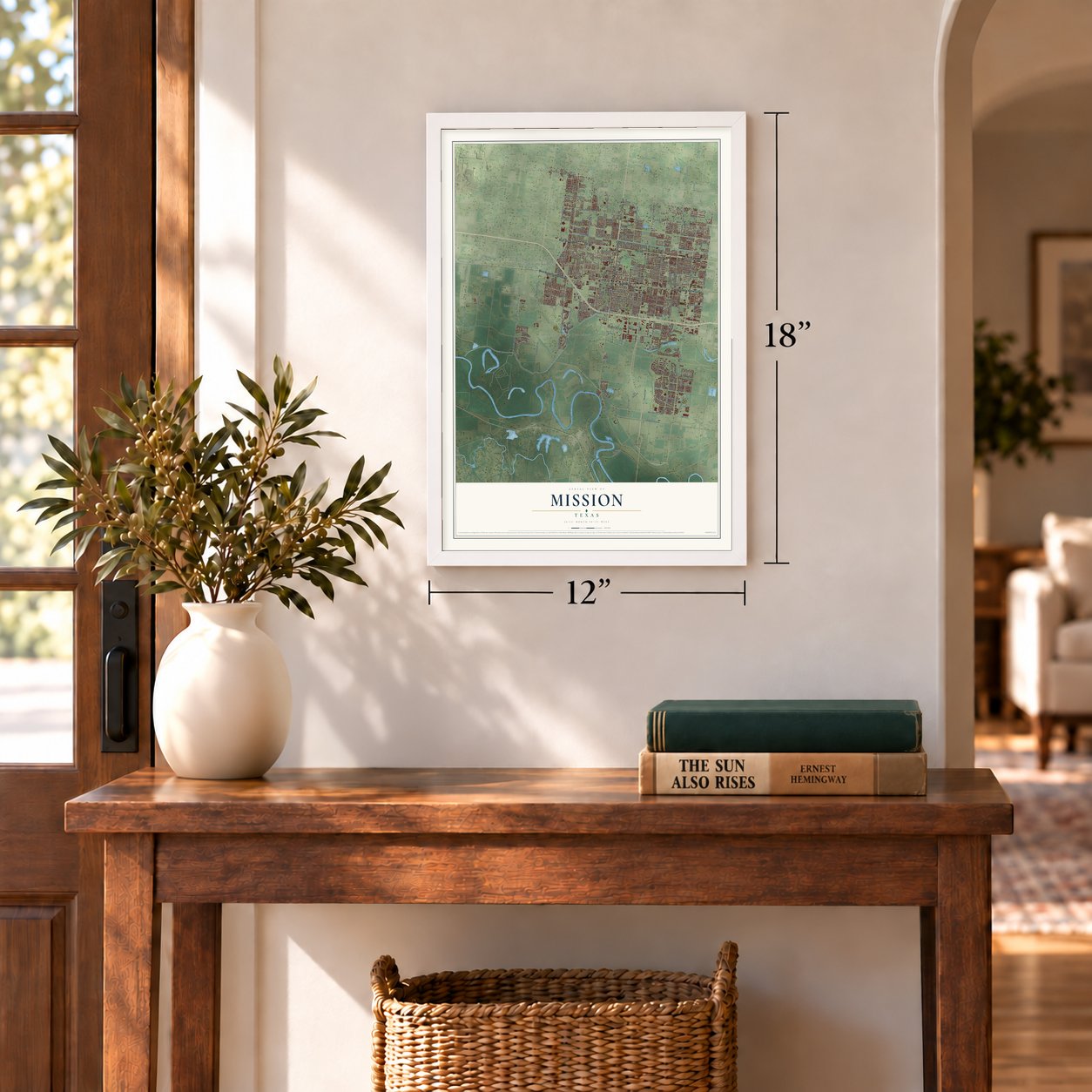
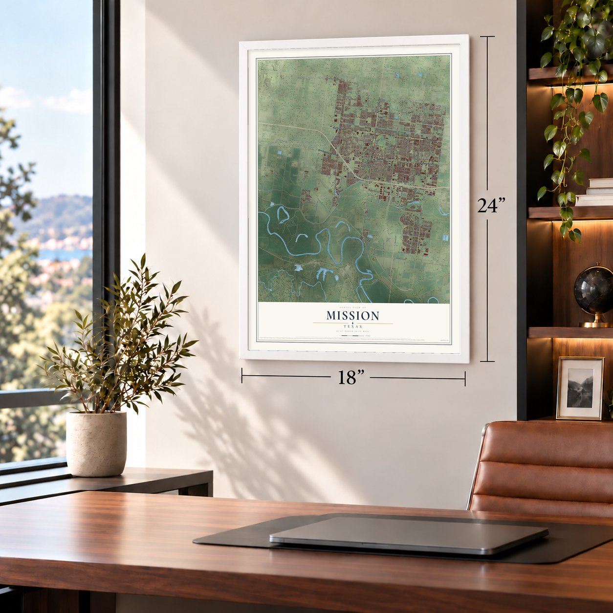
Three ways to hang it
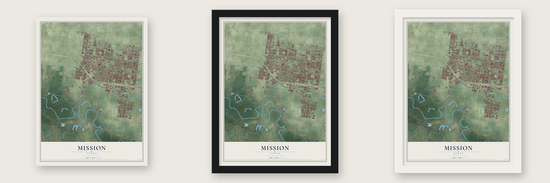
Unframed archival matte, a black wood frame or a white wood frame.
Up close
Geography Worth Displaying
This map was created using accurate cartographic data and authoritative geographic sources, including the U.S. Geological Survey and the Census Bureau. The map brings together terrain, waterways, roads, and building detail. The majority of the streets are labeled, houses are accurately depicted, and the topography is derived from government sources. Combining local data with carefully composed color and shading leads to this beautifully detailed Mission artwork for your wall.
Rather than simply showing street outlines, we’ve included as many of the street names as we could reasonably fit on the map while keeping their names legible. Zoom in on the high resolution preview to see exactly what’s on the map. We truly set out to create a statement piece for anyone who loves Mission. So whether it’s for you, or a gift for someone you love, we hope this map of Mission brings back fond memories.
Find your street
Names on the Mission map
Every name below is printed on this map. Look for your street, your school, the park where you played, or the pond down the road.
Places and landmarks31
- City Hall
- Citrus Hills Colonia
- Madero
- Villa Capri Colonia
- Tierra Dorada Colonia
- Stewart Place Colonia
- Tolle Colonia Number 2
- Leslie Colonia
- Sno-Bird Estates Colonia
- Blue Rock Colonia
- Jessan Colonia
- Meadow Creek Country Club Colonia
Show all 31 places
- Sharyland
- Conway Plaza Colonia
- Ala Blanca Colonia Number 1
- Basham Number 7 Colonia
- Las Brisas Colonia
- Stonegate Colonia Number 1
- Umberto Garcia Junior Colonia
- Leona Colonia
- Basham Number 2 Colonia
- Tolle Colonia
- Alturas de Azahares Colonia
- Bodine Colonia
- Valley View Estates Colonia
- Basham Number 1 Colonia
- Coronado Colonia
- Palm Acres Number 1 Colonia
- Moreno Colonia
- Ala Blanca Colonia Number 4
- Ala Blanca Colonia Number 3
Streets and roads291
- North Conway Avenue
- Conway Boulevard
- North Conway Boulevard
- West Griffin Parkway
- East Griffin Parkway
- FM 495
- East Business Highway 83
- West Business Highway 83
- East Ninth Street
- South Conway Avenue
- North Bryan Road
- West Mile 2 Road
- East First Street
- South Bentsen Palm Drive
- FM 1924
- Palm Drive
- FM 494
- Military Road
- Chimney Road
- Old Military Highway
- San Mateo Parkway
- FM 1016
- Levee Road
- FM 396
- North Canal Avenue
- East Mile 2 Road
- San Gabriel
- South Scott Lane
- Glasscock Road
- North Los Ebanos Road
Show all 291 streets
- South Los Ebanos Road
- Shuerbach Road
- Highland Park Avenue
- Abram Road
- Gold Avenue
- South Shary Road
- East 28th Street
- West 27th Street
- East Sixth Street
- Nicole Drive
- 30th Street
- North Shary Road
- North Stewart Boulevard
- Los Indios
- West Military Highway
- North Taylor Road
- North Moorefield Road
- North Holland Avenue
- North Mayberry Road
- South Mile Road
- South Taylor Road
- Buddy Owens Avenue
- Rio Grande Drive
- Green Road
- Miller Avenue
- Solar Drive
- Goodwin Road
- Los Milagros
- Lake View Drive
- South Glasscock Road
- Trinity Road
- East Fourth Street
- Adams Street
- Perkins Avenue
- Levy Road
- East 21st Street
- Santa Fe
- East 22nd Street
- Tulipan Street
- School Lane
- Pamela Drive
- Inspiration Road
- Bryan Road
- Azalea Street
- Crisantema
- San Efrain
- Colorado Street
- West 18th Street
- Trosper Boulevard
- Bus Park Drive
- FM 1427
- Santa Erica
- Cimarron Drive
- Frontage Road
- Trinity Drive
- El Jardin
- Santa Engracia Road
- Bertha Avenue
- Pecan Avenue
- Leandro Street
- Fairway Drive
- West 24th Place
- Scenic Way
- Melba Carter Road
- Victoria Drive
- Mallard Drive
- Sonora Street
- East Third Street
- Stewart Road
- Citriana Street
- Travis Street
- Mark Place
- Frio Street
- South FM 494
- Dove Avenue
- Woods Street
- Leal Street
- Judy Street
- Oriole Drive
- First Street
- Sage Road
- Leo Street
- FM 2062
- West Kika de la Garza Street
- 2 Mile Line
- Norma Drive
- Thornwood Drive
- Trosper Road
- Sunrise Lane
- Oblate Avenue
- East 29th Street
- South Inspiration Road
- South Stewart Road
- East Eighth Street
- Grand Canal Drive
- North Francisco Avenue
- Los Ebanos Road
- San Roman
- West First Street
- Pebble Drive
- River Bend Drive
- Santa Olivia
- Esperanza Avenue
- South Mayberry Street
- Country Club Drive
- West 22nd Street
- East 25th Street
- 24th Street
- Santa Monica
- Dolores del Rio Avenue
- West Rafael Ramirez Street
- Giselle Street
- Peace Avenue
- West 26th Street
- West 25th Street
- Abelino Farias Street
- Bryce Drive
- Santa Lydia
- Lucksinger Road
- Sunset Lane
- Aladdin Villas Boulevard
- Melody Lane
- Vatia Boulevard
- Carolina Avenue
- Hummingbird Lane
- Kirk Avenue
- Solera Drive
- Pecos Street
- Clavel Drive
- Tillie Lane
- Boot Drive
- San Mateo Road
- Tack Drive
- San Angelo
- Cuesta del Sol Street
- Ala Blanca Avenue
- Cheril Road
- Sheri Lee Drive
- Santa Laura
- Laredo Street
- Basham Road
- Saint Claire Boulevard
- Jones Avenue
- Cam Real
- Anzalduas Dam Road
- Green Jay Drive
- Sonora Avenue
- Rec - Hall Road
- Santa Veronica
- Del Mar Street
- Brazos Street
- East 14th Street
- White Street
- Santa Lorena
- Charles Street
- Sunset Drive
- Amy Avenue
- Jay Avenue
- Oleander Drive
- Mayberry Street
- West North Street
- East 30th Street
- Briarway Street
- Mission Avenue
- Ervin Avenue
- Sabine Street
- Perez Street
- East 31st Street
- Gastel Drive
- Rio Concho
- Alex Drive
- Vintage Lane
- Fair Oaks Drive
- Davina Street
- San Benito
- Garcia Street
- Viejo Lane
- Dover Street
- Oasis Drive
- Luther Lane
- Lark Drive
- 19th Street
- Live Oak
- Bell Drive
- Date Lane
- Fir Street
- Canal Avenue
- North Glasscock Road
- San Gabriel Street
- Melissa Rae Drive
- Stonegate Drive
- East 20th Street
- Erma Avenue
- Red River Street
- Ramirez Lane
- South Tecate Drive
- Briarwood Drive
- Salinas Drive
- Truman Street
- Joyce Drive
- Tropical Circle
- Monte Cruz Street
- West 24th Street
- Audrey Drive
- Antigua Drive
- Ash Street
- Toni Lane
- Dawson Lane
- Santo Tomas
- Santa Lucia
- Lomita Drive
- Naranjo Street
- Encanto Boulevard
- Acapulo Drive
- East Victory
- Monaco Drive
- Santa Clara
- Commerce Drive
- Aldo Drive
- Leo Najo Street
- Hidalgo Street
- Club House Drive
- Rosa Avenue
- Camellia Road
- Jason Street
- South Pedro Road
- Compton Drive
- Oak Alley Drive
- West East Street
- Walsh Avenue
- Sunset Street
- Debby Lane
- Joyce Road
- Paseo Encantado Street
- Las Brisas Drive
- Santa Sofia
- Rancho del Rey
- Harmony Lane
- East Three Mile South Road
- Terrace Drive
- Merlin Drive
- Silver Oak Avenue
- South Paseo del Rey Street
- San Eduardo
- Blue Jay Drive
- Lawndale Road
- Ponderosa
- International Boulevard
- Summer Breeze Avenue
- Fairview Drive
- Volz Lane
- Live Oak Street
- Santa Esperanza
- Viola Street
- 22nd Street
- Liz Drive
- Angela Drive
- Greens Way
- Meadow View Drive
- Toledo Street
- Union Drive
Names are listed as they appear on the printed map. Zoom into the product photos to find them.
About Mission, Texas
Mission is a city of 85,778 people in Hidalgo County, a few miles north of the Rio Grande. Its roots are at La Lomita, where the Oblates of Mary Immaculate built a small chapel, and the first settlement grew up there about 1865. In 1907 John J. Conway and J. W. Holt bought the Oblate fathers' 17,000-acre La Lomita Ranch. They bought 10,000 more acres from James B. Wells and John Closner, then began selling land to newcomers.
The Missouri Pacific line came up from Brownsville in 1904 but ended at Mamie, 5½ miles from La Lomita over a terrible mud road. A new station, a siding and a gift of twenty acres of irrigated land persuaded the railroad to move its agent from Sam Fordyce to the new site, and the settlement moved with it. On December 8, 1908, the post office followed and was renamed Mission, because Texas already had a Lomita. A school opened that year, a newspaper and a hotel were running by 1909, and Mission incorporated in 1910.
- Home of the Ruby RedFarmers here started growing citrus around 1910, and irrigation let the fields yield three crops a year. John H. Shary rebuilt the irrigation system and sold small citrus farms, and he also founded Sharyland and its school. Mission has called itself the Home of the Ruby Red since 1921, and its Citrus Fiesta, first held in 1932, still honors the grapefruit.
- Training pilots for two warsShary and a group of local businessmen bought a tract northwest of town in 1941 for an air base, then sold it to the federal government for what they had paid. About 3,000 men were in training at Moore Air Force Base at any time from 1941 to 1946, and many came back to live in Mission after the war.
- A senator and a coachLloyd Bentsen, the U.S. senator and vice-presidential nominee, was born in Mission in 1921. Tom Landry, the Hall of Fame coach of the Dallas Cowboys, was born and raised here and played for Mission High School. William Jennings Bryan, three times a candidate for President, also kept a home in Mission.
Keep exploring Texas
Mission is one of 2,049 Texas towns we've mapped. Every dot on the map is a print of its own.
The search covers every state, Texas first.
Near Mission
Order 2 or more town maps and save 10%. Shown in the size and finish you picked above, so they hang as a set.
- Palmview South 12" x 18" / Archival Matte Print $39.99
- Palmview 12" x 18" / Archival Matte Print $39.99
- Palmhurst 12" x 18" / Archival Matte Print $39.99
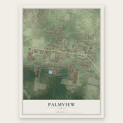
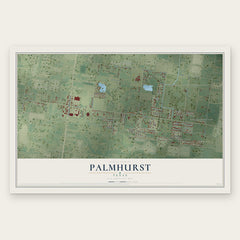
More maps nearby: West Sharyland, Granjeno, McAllen, Abram and Perezville.
The art of mapping a place
How This Map Was Made
Real places. Remarkable detail. Discover the layers that turn geographic data into a map of home.

The view from above
Aerial imagery reveals the character of the land: woodland, open fields, and the patterns of a place.

The shape of the land
Elevation data brings hills, valleys, and subtle changes in the landscape into view.

The details of home
Roads, waterways, and building footprints come together to make the map feel unmistakably local.

Geography becomes art
Considered color, shading, and typography bring the layers together in a map made for your wall.


Process illustrated with Mendon, Massachusetts. Aerial imagery: USDA NAIP. Terrain: USGS 3D Elevation Program. Map details and finished artwork: KNOWOL.
The Details
About This Print
Choose an archival matte print, or a black or white Ayous wood frame. The archival matte print is unframed.
Select your size and finish above to see the matching product image and price.
Materials & Craftsmanship
A contemporary map with the character of a classic atlas, printed on archival matte paper. Optional frames are made from Ayous wood.
Your printed map does not include the watermark shown in the full-map preview.
Shipping & Delivery
Free shipping within the United States. Every print is made to order in the USA.
Buying a gift? Add a note in your cart and we'll include it. We never put prices in the package.
Prints ship within 2 to 3 business days. Allow 7 to 10 days total from ordering for delivery. Timing may vary during holidays or periods of high order volume.
Read our shipping policy.
Returns and damaged prints
Each print is made to order. Change-of-mind refunds are not available after production.
If your print arrives damaged, misprinted or incorrect, contact support@knowol.com within 30 days of receiving it. Include your order number, photos and a description of the issue.
Read our full refund and replacement policy. For questions about your order, email support@knowol.com.