
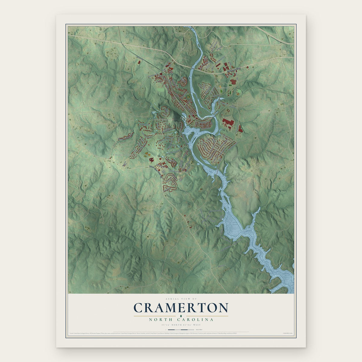


Search for another town





Free U.S. delivery 7 to 10 days after you order
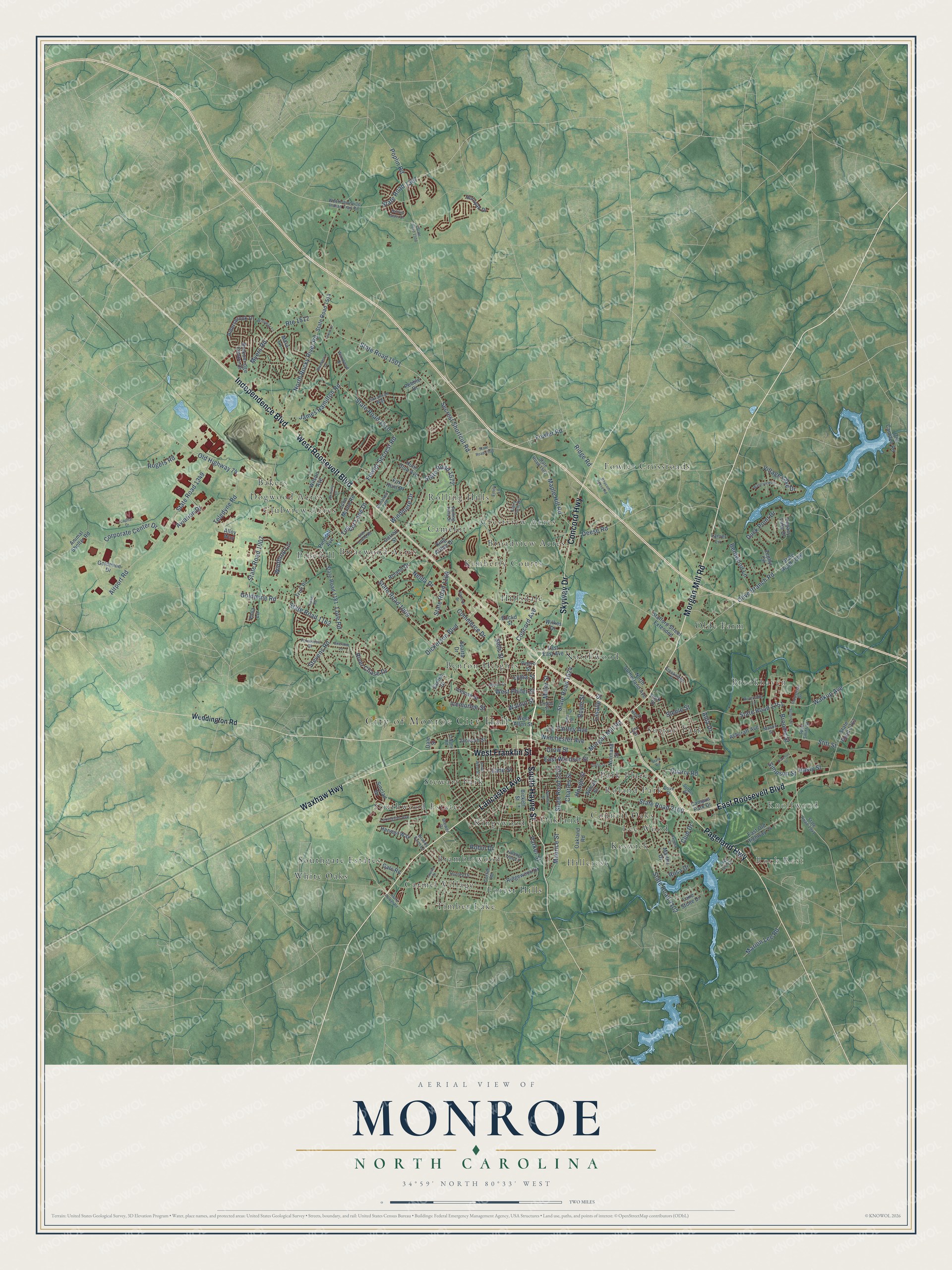
Monroe, North Carolina Map Art
Building by building, with labeled streets and shaded relief.
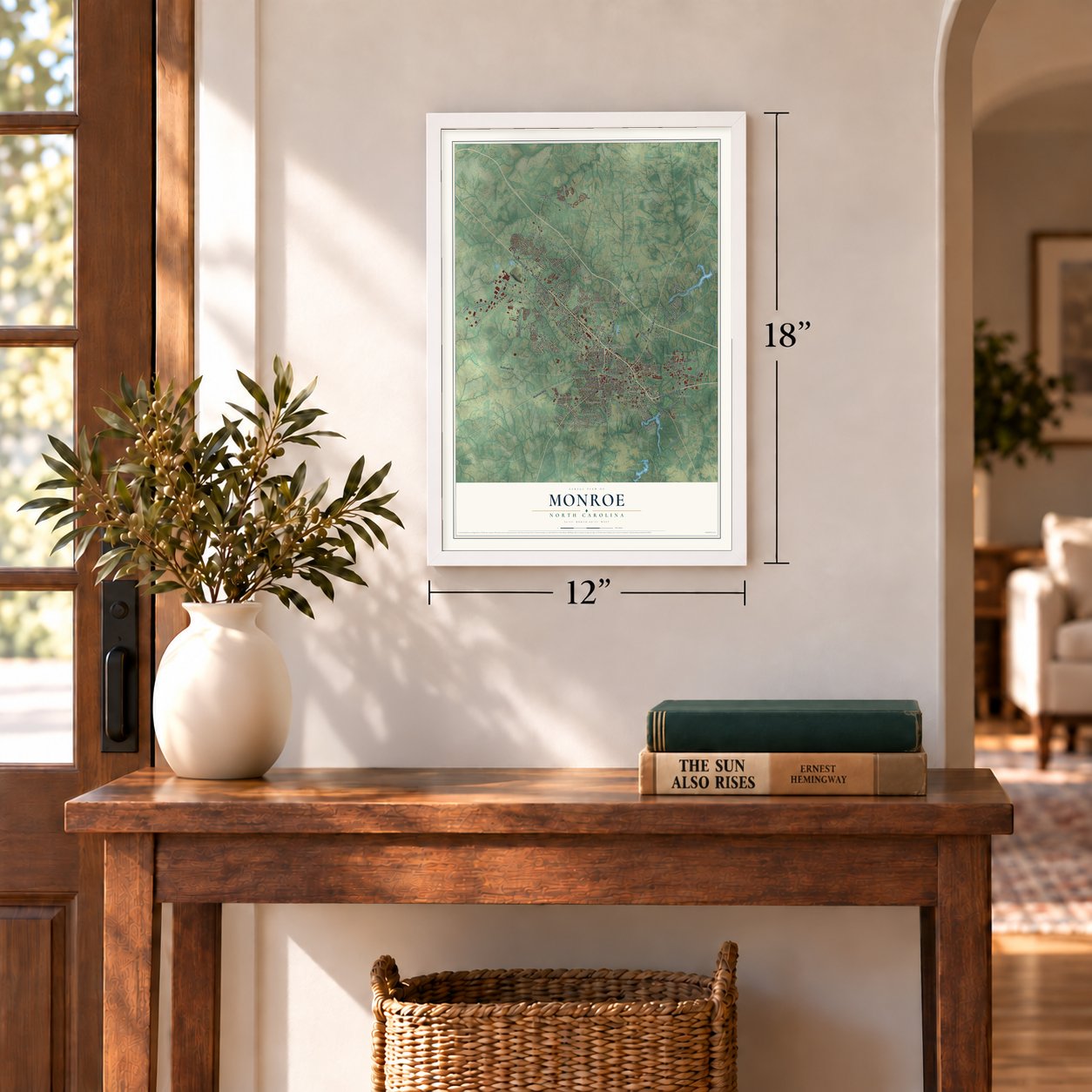
12" x 18" Archival Matte Print
A Map of Home. A Work of Art.
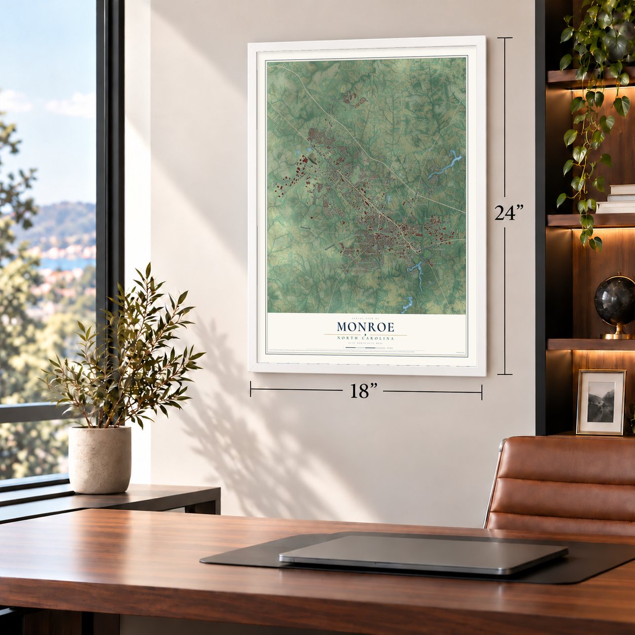
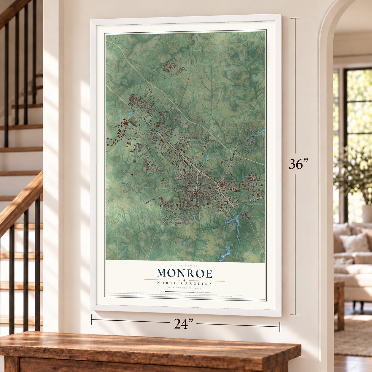
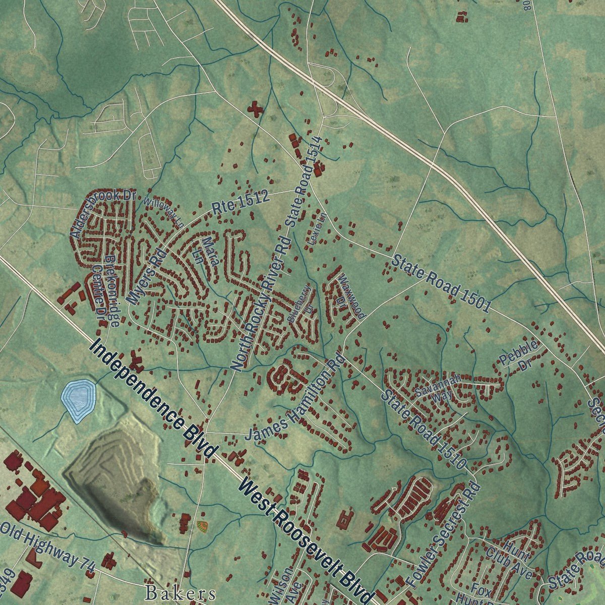
Explore Monroe, North Carolina from a whole new perspective. Created using aerial imagery and detailed geographic data, this map captures Monroe building by building, with labeled streets, familiar landmarks, and shaded topographical relief that highlights the natural contours of the landscape.
Combining modern data with the timeless character of a vintage atlas, this map is just as interesting up close as it is beautiful on the wall. Whether you grew up in Monroe, spent memorable years there, or call it home today, this unique map is a great way to celebrate a place that means something to you. Zoom in on the preview to look for your street, and then order a print to put your memories on the wall.
Three ways to hang it
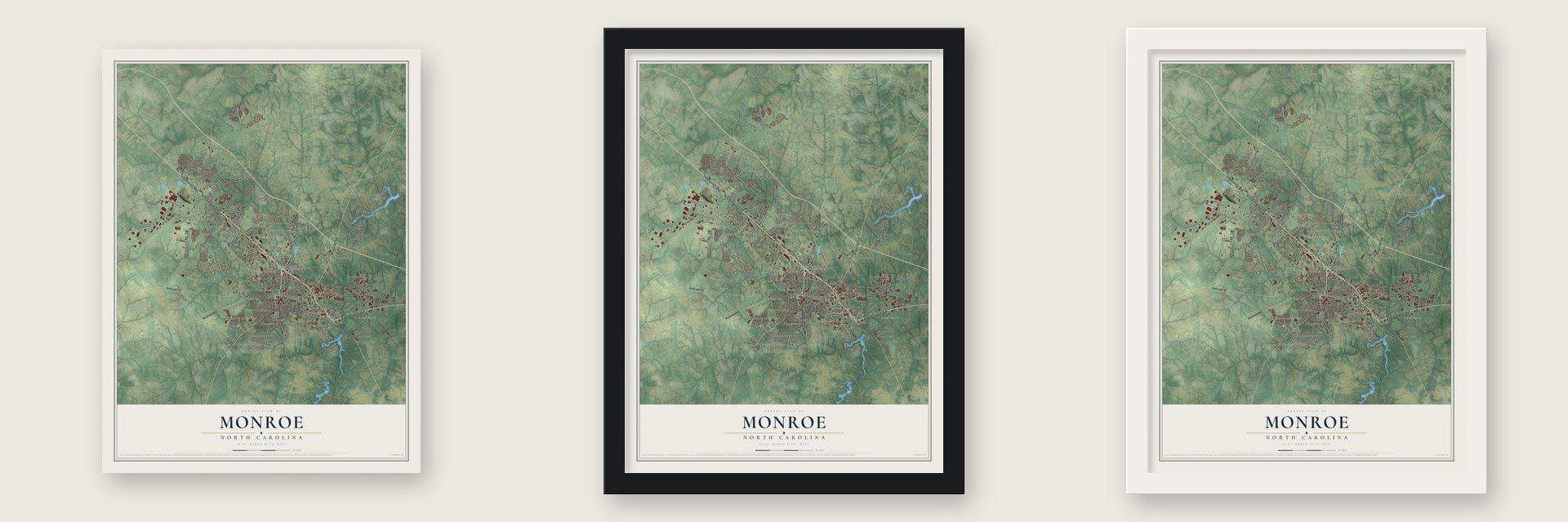
Unframed archival matte, a black wood frame or a white wood frame.
Up close
Geography Worth Displaying
This map was created using accurate cartographic data and authoritative geographic sources, including the U.S. Geological Survey and the Census Bureau. The map brings together terrain, waterways, roads, and building detail. The majority of the streets are labeled, houses are accurately depicted, and the topography is derived from government sources. Combining local data with carefully composed color and shading leads to this beautifully detailed Monroe artwork for your wall.
Rather than simply showing street outlines, we’ve included as many of the street names as we could reasonably fit on the map while keeping their names legible. Zoom in on the high resolution preview to see exactly what’s on the map. We truly set out to create a statement piece for anyone who loves Monroe. So whether it’s for you, or a gift for someone you love, we hope this map of Monroe brings back fond memories.
Read the story behind this map of Monroe, North Carolina from 2026.

Find your street
Names on the Monroe map
Every name below is printed on this map. Look for your street, your school, the park where you played, or the pond down the road.
Places and landmarks36
- City of Monroe City Hall
- Rock Rest
- Knollwood
- Bakers
- Benton Heights
- Bramblewood
- Briarwood Acres
- Broadview Acres
- Brookhaven
- Camelot
- Carmel Village
- Clubview Acres
Show all 36 places
- Council Oaks
- Crestview Acres
- Dogwood Acres
- Forest Hills
- Fowler Crossroads
- Hillcrest
- Hillsdale
- Keswick
- Kimberly Courts
- Kingswood
- Lee Wood
- Northwood
- Oakland
- Olde Farm
- Park Place
- Pinedell
- Roland Park
- Rolling Hills
- Southgate Estates
- Southwood Estates
- Stewart Park
- Sutton Park
- Timber Lake
- White Oaks
Streets and roads193
- Skyway Drive
- Morgan Mill Road
- Lancaster Avenue
- South Hayne Street
- East Roosevelt Boulevard
- West Roosevelt Boulevard
- Independence Boulevard
- Concord Highway
- Waxhaw Highway
- West Franklin Street
- Pageland Highway
- State Road 1009
- East Windsor Street
- Old Highway 74
- Secrest Shortcut Road
- Dickerson Boulevard
- State Road 1501
- North Rocky River Road
- State Road 1162
- Goldmine Road
- Walkup Avenue
- State Road 1751
- State Road 1007
- State Road 1572
- Fowler Secrest Road
- State Road 1510
- Airport Road
- State Road 1349
- State Road 1624
- State Road 2100
Show all 193 streets
- Olive Branch Road
- Concord Avenue
- Myers Road
- Route 1512
- State Road 2102
- Maurice Street
- State Road 2103
- State Road 1367
- Stitt Street
- Parker Street
- Corporate Center Drive
- Poplin Road
- Maple Hill Road
- Icemorlee Street
- Love Road
- Winchester Avenue
- Miller Street
- James Hamilton Road
- Broome Street
- Teledyne Road
- Ridge Road
- Charles Street
- State Road 1169
- Fairley Avenue
- Fowler Road
- River Chase Drive
- West Phifer Street
- Bentwood Lane
- Simpson Street
- Boyte Street
- Deese Road
- Stevens Road
- Lasalle Street
- Timber Lane Drive
- Village Lake Drive
- Nelda Drive
- Steele Street
- Rosa Drive
- Marion Lee Road
- Rogers Road
- Commerce Drive
- Duck Point Drive
- Lane Street
- Windmere Drive
- Winthrop Lane
- Quarry Road
- Aviation Drive
- Hasty Street
- Crow Street
- Walnut Street
- Lydia Street
- Alda Drive
- Hough Street
- Club Drive
- Robin Drive
- Sells Street
- Weddington Road
- Normand Street
- State Road 1514
- State Road 1006
- North Sutherland Avenue
- Stafford Street Extended
- East Old Highway 74
- Ashcraft Avenue
- State Road 1181
- Ridgewood Drive
- Aldersbrook Drive
- State Road 1763
- Fox Hunt Drive
- Oakland Road
- Brekonridge Centre Drive
- Roland Drive
- East East Avenue
- Bickett Street
- Carroll Street
- Pinedell Avenue
- Old Camden Road
- Wilson Avenue
- John Moore Road
- Wilkes Drive
- Iceman Street
- Zephyr Circle
- Harvest Way
- King Arthur Drive
- Hunt Club Avenue
- Goldmine Drive
- Jackson Street
- Legacy Lake Drive
- Hornyak Drive
- Trull Place
- Euclid Street
- Lake Stone Drive
- Viola Lane
- Gate Road
- Pedro Street
- Animal Shelter Road
- Campus Park Drive
- Martha Drive
- Sinclair Drive
- Sanlee Drive
- Alloy Way
- West Allen Street
- Pebble Drive
- Wilson Street
- Sparta Drive
- Mara Lane
- Lanier Lane
- Dale Street
- Polk Street
- West Unionville Indian Trail Road
- Rolling Hills Drive
- Griffith Road
- State Road 1502
- Foxworth Drive
- Creekridge Drive
- Mason Street
- Savannah Way
- Lexington Avenue
- State Road 1941
- Dove Street
- Dairy Farm Drive
- Brooks Farm Lane
- Bonanza Road
- Hunley Drive
- Emily Lane
- Waxwood Drive
- Riverside Lane
- Industrial Drive
- Spud Smith Street
- Lake Lee Drive
- Cedar Street
- Sutton Place
- Falling Tree Lane
- Colony Road
- Brewer Drive
- Lynn Street
- Nash Street
- State Road 1508
- Curtis Street
- State Road 1503
- South West Street
- Bearskin Lane
- Waterview Lane
- Balting Glass Drive
- Benton Street
- Pamela Drive
- Romany Drive
- John Street
- Capital Drive
- Olde Towne Road
- Cureton Street
- Hanover Drive
- Blueberry Drive
- Willoway Lane
- Louise Street
- Sutton Street
- Tucker Road
- Baucom Deese Road
- Avery Parker Road
- Lexie Lane
- Hill Street
- Summit Street
- State Road
Names are listed as they appear on the printed map. Zoom into the product photos to find them.
About Monroe, North Carolina
Monroe is a city of 34,562 people and the county seat of Union County, near Charlotte. It was planned from the start. In 1843 the first county commissioners, chosen by the General Assembly, picked a spot in the middle of the new county for its seat. The town took the name of James Monroe, the fifth president, and it grew into a market town for the tobacco farms of the Piedmont.
After World War II, Marine veteran Robert F. Williams took charge of the local NAACP chapter in 1951 and pushed to open the library and the city pool to Black residents. The fight over the pool in 1957 drew a reported 7,500 Klan members to a city of about 12,000, many of them from South Carolina, 14 miles away. In 1961 Williams was accused of kidnapping a white couple he had sheltered in his home, so he and his wife fled to Cuba and later to China. They came home in 1969, and North Carolina dropped the charges before his trial, which was set for 1975.
- Hometown of Jesse HelmsJesse Helms Jr. was born and raised in Monroe, where his father, Jesse Helms Sr., was police and fire chief for many years. The son served five terms in the U.S. Senate, from 1973 to 2003, and helped Ronald Reagan win the presidency.
- NASCAR at the StarliteThe Starlite Speedway, a half-mile dirt track, ran in Monroe in the 1960s and 1970s. On May 13, 1966, it hosted NASCAR's Independent 250, and Darel Dieringer took the win.
- Ludwig Drums since 1984Ludwig has built its drums and timpani in Monroe since 1984.
Keep exploring North Carolina
Monroe is one of 952 North Carolina towns we've mapped. Every dot on the map is a print of its own.
The search covers every state, North Carolina first.
Near Monroe
Order 2 or more town maps and save 10%. Shown in the size and finish you picked above, so they hang as a set.
- Rock Rest 12" x 18" / Archival Matte Print $39.99
- Unionville 12" x 18" / Archival Matte Print $39.99
- Wingate 12" x 18" / Archival Matte Print $39.99


More maps nearby: Indian Trail, Lake Park, Wesley Chapel, Mineral Springs and Hemby Bridge.
The art of mapping a place
How This Map Was Made
Real places. Remarkable detail. Discover the layers that turn geographic data into a map of home.

The view from above
Aerial imagery reveals the character of the land: woodland, open fields, and the patterns of a place.

The shape of the land
Elevation data brings hills, valleys, and subtle changes in the landscape into view.

The details of home
Roads, waterways, and building footprints come together to make the map feel unmistakably local.

Geography becomes art
Considered color, shading, and typography bring the layers together in a map made for your wall.


Process illustrated with Mendon, Massachusetts. Aerial imagery: USDA NAIP. Terrain: USGS 3D Elevation Program. Map details and finished artwork: KNOWOL.
The Details
About This Print
Choose an archival matte print, or a black or white Ayous wood frame. The archival matte print is unframed.
Select your size and finish above to see the matching product image and price.
Materials & Craftsmanship
A contemporary map with the character of a classic atlas, printed on archival matte paper. Optional frames are made from Ayous wood.
Your printed map does not include the watermark shown in the full-map preview.
Shipping & Delivery
Free shipping within the United States. Every print is made to order in the USA.
Buying a gift? Add a note in your cart and we'll include it. We never put prices in the package.
Prints ship within 2 to 3 business days. Allow 7 to 10 days total from ordering for delivery. Timing may vary during holidays or periods of high order volume.
Read our shipping policy.
Returns and damaged prints
Each print is made to order. Change-of-mind refunds are not available after production.
If your print arrives damaged, misprinted or incorrect, contact support@knowol.com within 30 days of receiving it. Include your order number, photos and a description of the issue.
Read our full refund and replacement policy. For questions about your order, email support@knowol.com.