
Search for another town





Free U.S. delivery 7 to 10 days after you order
Moraine, Ohio Map Art
Building by building, with labeled streets and shaded relief.
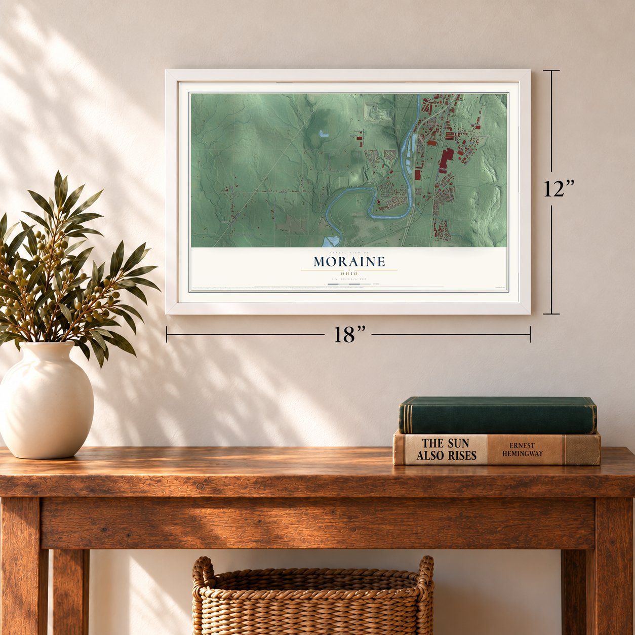
12" x 18" Archival Matte Print
A Map of Home. A Work of Art.
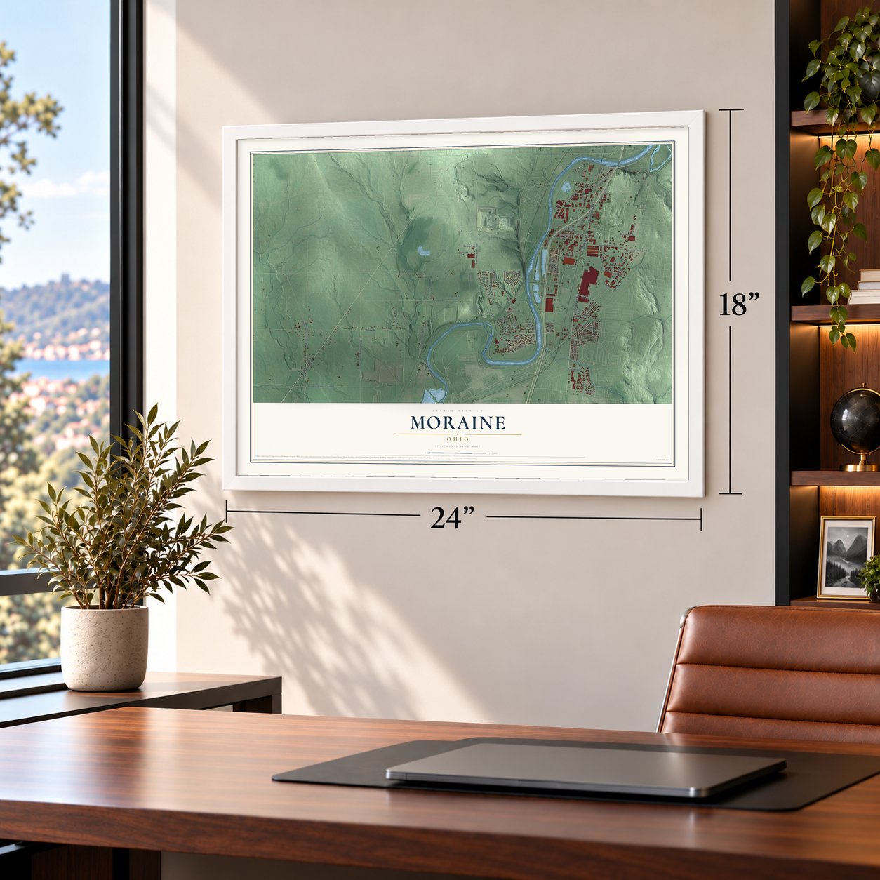
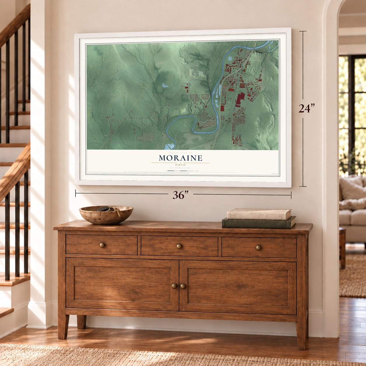
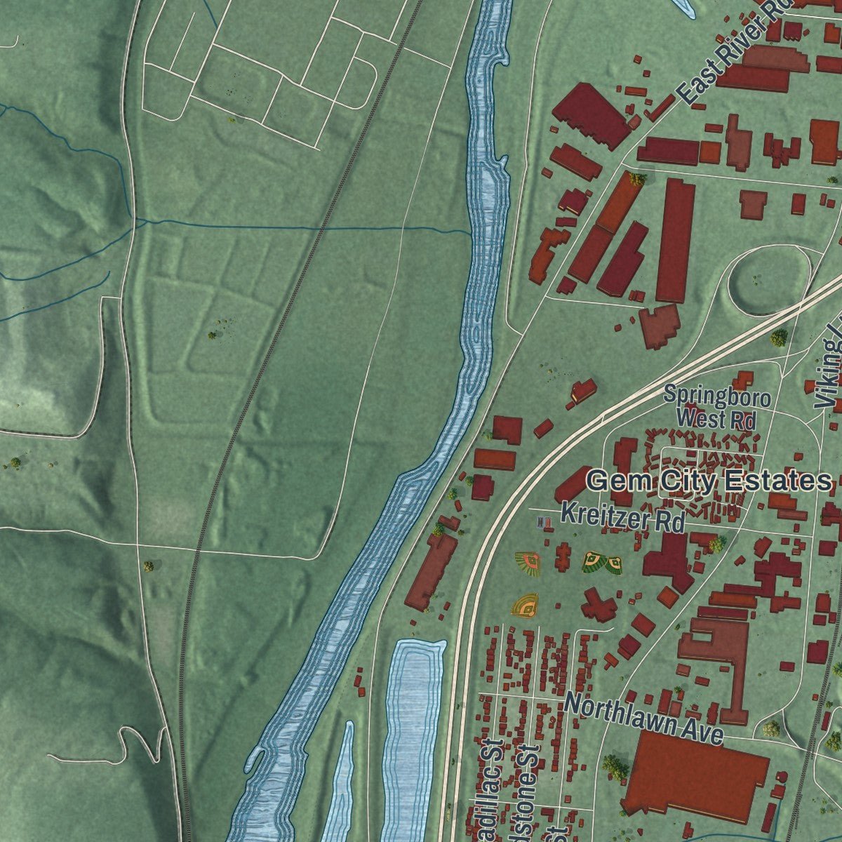
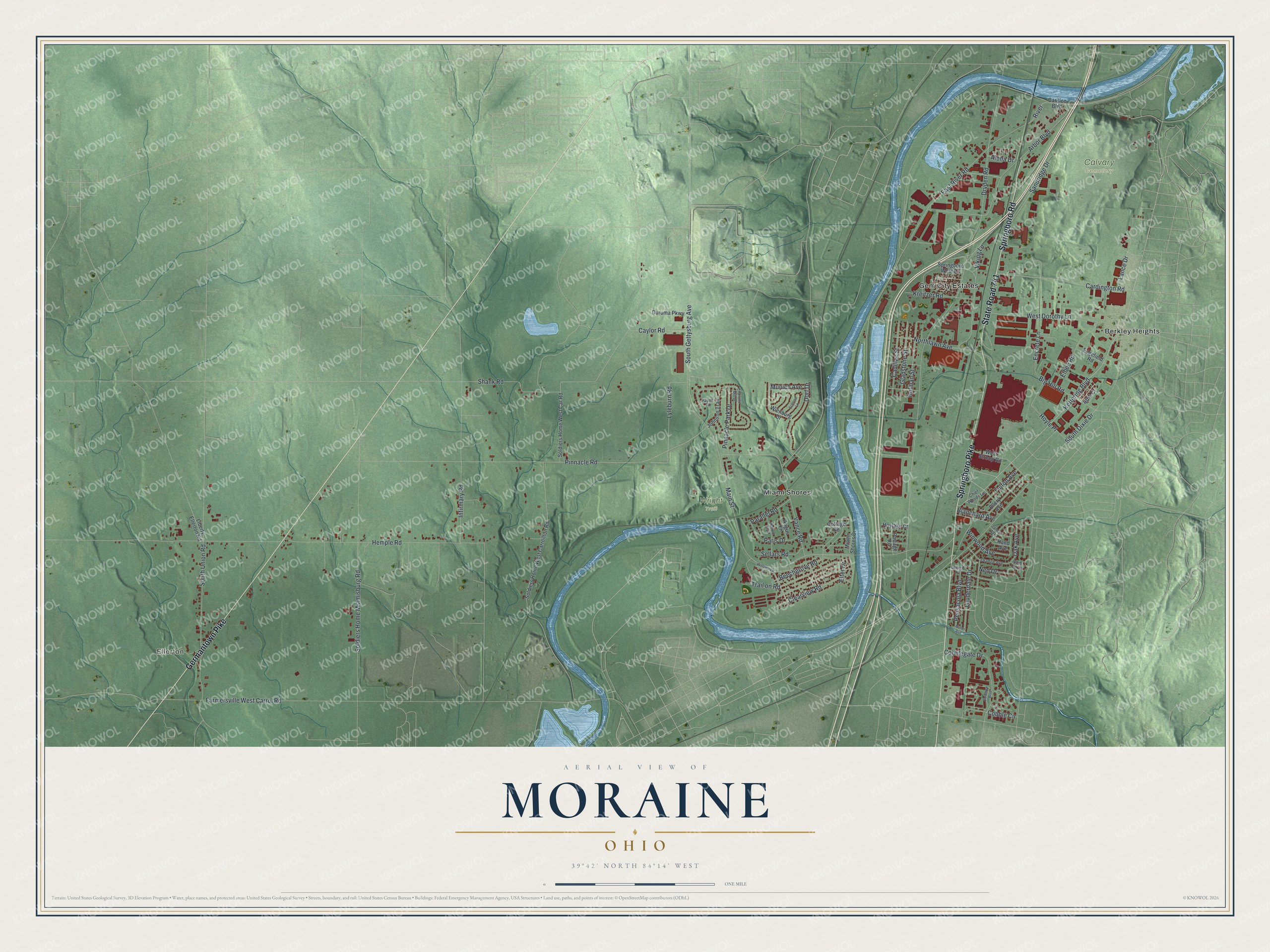
Explore Moraine, Ohio from a whole new perspective. Created using aerial imagery and detailed geographic data, this map captures Moraine building by building, with labeled streets, familiar landmarks, and shaded topographical relief that highlights the natural contours of the landscape.
Combining modern data with the timeless character of a vintage atlas, this map is just as interesting up close as it is beautiful on the wall. Whether you grew up in Moraine, spent memorable years there, or call it home today, this unique map is a great way to celebrate a place that means something to you. Zoom in on the preview to look for your street, and then order a print to put your memories on the wall.
Three ways to hang it
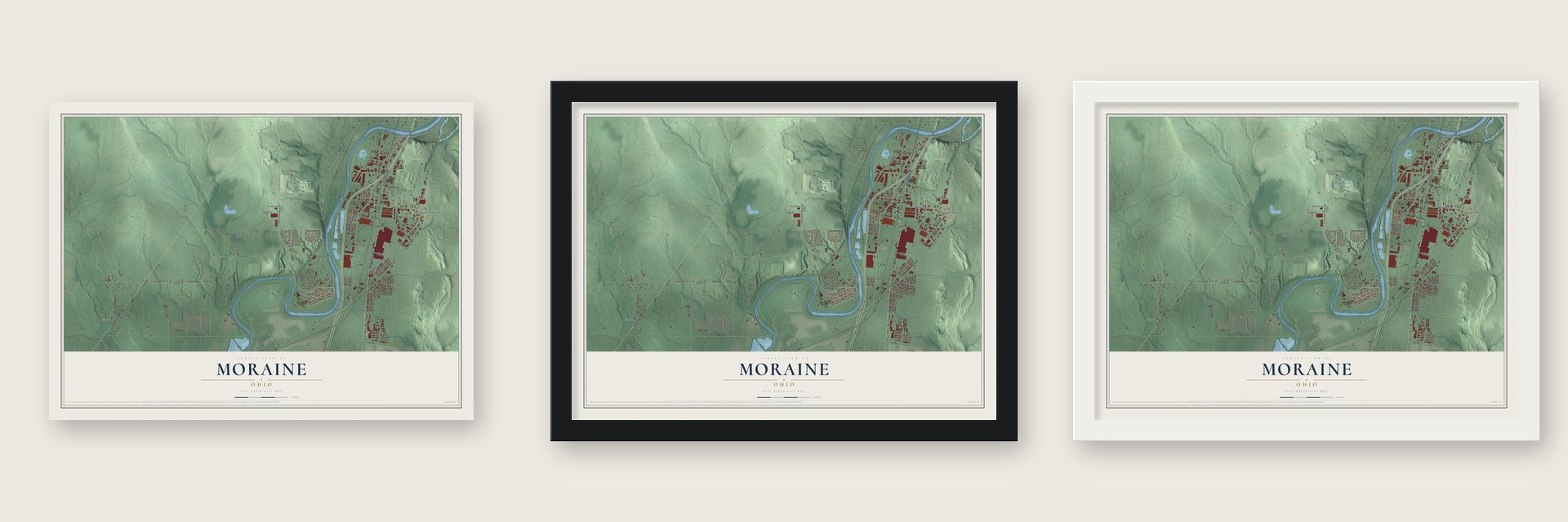
Unframed archival matte, a black wood frame or a white wood frame.
Up close
Geography Worth Displaying
This map was created using accurate cartographic data and authoritative geographic sources, including the U.S. Geological Survey and the Census Bureau. The map brings together terrain, waterways, roads, and building detail. The majority of the streets are labeled, houses are accurately depicted, and the topography is derived from government sources. Combining local data with carefully composed color and shading leads to this beautifully detailed Moraine artwork for your wall.
Rather than simply showing street outlines, we’ve included as many of the street names as we could reasonably fit on the map while keeping their names legible. Zoom in on the high resolution preview to see exactly what’s on the map. We truly set out to create a statement piece for anyone who loves Moraine. So whether it’s for you, or a gift for someone you love, we hope this map of Moraine brings back fond memories.

Find your street
Names on the Moraine map
Every name below is printed on this map. Look for your street, your school, the park where you played, or the pond down the road.
Places and landmarks6
- Ellerton
- Calvary Cemetery
- Wright Trail
- Berkley Heights
- Gem City Estates
- Miami Shores
Streets and roads86
- Springboro Pike
- Springboro Road
- State Road 741
- Germantown Pike
- Kettering Boulevard
- River
- South Dixie Drive
- Pinnacle Road
- Lyleburn Road
- Dryden Road
- Aloha Drive
- Beechgrove Road
- East River Road
- Main Street
- Hemple Road
- Arbor Boulevard
- Vance Road
- South Union Road
- Soldiers Home Miamisburg Road
- Farmersville West Carrol Road
- Cardington Road
- Infirmary Road
- West Dorothy Lane
- Encrete Lane
- South Gettysburg Avenue
- Pensacola Boulevard
- Cobblegate Drive
- Shank Road
- Sandridge Drive
- Trail on Road
Show all 86 streets
- Northlawn Avenue
- Clearview Road
- Holman Street
- Hoyle Place
- Dorf Drive
- Gladstone Street
- Big Hill Road
- Cadillac Street
- Lauderdale Drive
- Oak Avenue
- Lance Drive
- Cobble Circle
- Pinnacle Park Drive
- Fulton Avenue
- Kreitzer Road
- Elbee Road
- Paris Drive
- Caylor Road
- Winwood Avenue
- Sellars Road
- Parallel Road
- Ned Drive
- Viking Lane
- Blanchard Avenue
- Munich Avenue
- Elter Drive
- Carillon Boulevard
- Soldiers Home West Car Road
- Soldiers Home West Carrollton Road
- Springboro West Road
- Johnson Trail
- Artie Court
- West Stroop Road
- Ellery Avenue
- Wienburg Drive
- Miami Shores Drive
- Duruma Parkway
- Cottage Road
- Angus Lane
- Edgefield Road
- Liberty Ellerton Road
- Hoylake Court
- Portage Road
- Rand Avenue
- Lehigh Place
- Orange Avenue
- Chief Woods Lane
- Payne Place
- Janco Avenue
- Charlotte Mill Drive
- Dovetree Boulevard
- Willowview Drive
- Herford Trail
- Schloss Lane
- White Oak Court
- Butler Avenue
Names are listed as they appear on the printed map. Zoom into the product photos to find them.
About Moraine, Ohio
Moraine is a city of 6,393 people in Montgomery County, set on both banks of the Great Miami River just south of Dayton. Its land was first part of Van Buren Township and then, for a short time, part of Kettering. In 1953 most of Kettering's share broke away and became Moraine Township, which turned itself into a village in 1957.
The village took in pieces of Miami Township and became a city in 1965, and it later added parts of Jefferson Township. Much of its growth came from one big factory site. The Dayton Wright Airplane company worked there between 1917 and 1923 and turned out more than 4000 aircraft, among them the DeHavilland observer and bomber, a British design from the First World War.
- From airplanes to refrigeratorsGeneral Motors bought Dayton-Wright in 1919 and gave up making aircraft in 1923. In 1926 GM enlarged and modernized the plant and began building refrigerators in it. Frigidaire appliances came off the line in Moraine until 1979, when GM sold Frigidaire but chose to keep the building and refit it for vehicles.
- Blazers and Jimmys from 1981The plant reopened in 1981 building the Chevrolet S-10 Blazer and the GMC S-15 Jimmy. In the 1990s it gained a paint shop and the DMAX engine plant, a joint venture with Isuzu. The assembly plant turned out SUVs until December 23, 2008, when GM closed it and let 2,400 workers go. The DMAX plant kept running on its own.
- Glass and American FactoryIn 2014 China's Fuyao Glass Industry Group bought the closed GM plant, and in October 2015 it began producing glass for cars inside the building, which covers 1.4 million square feet. By the end of 2016 about 2,000 people worked there. The opening of the plant became the subject of the documentary American Factory.
- The first practical airplaneThe Wright brothers began building the Wright Flyer III on May 23, 1905, but at first it flew poorly, and that month's longest flight lasted only 19.5 seconds. They rebuilt it with a larger elevator and rudder, separate controls for the pilot and propeller tips they nicknamed "Little Jokers." The finished plane is kept at Carillon Park, and it joined the National Register in 1990.
- Orville's seaplanesAfter Wilbur died in 1912, Orville Wright flew seaplanes on the Great Miami River in 1913 and 1914. A dam kept the water deep, and a sharp bend let him take off in whichever direction the wind allowed. In June and July 1913 he made more than 100 flights, many of them with passengers.
Keep exploring Ohio
Moraine is one of 1,389 Ohio towns we've mapped. Every dot on the map is a print of its own.
The search covers every state, Ohio first.
Near Moraine
Order 2 or more town maps and save 10%. Shown in the size and finish you picked above, so they hang as a set.
- West Carrollton 12" x 18" / Archival Matte Print $39.99
- Drexel 12" x 18" / Archival Matte Print $39.99
- Oakwood 12" x 18" / Archival Matte Print $39.99
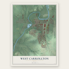
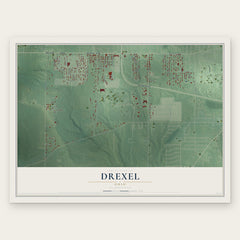
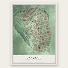
More maps nearby: South Park, Miamisburg, Kettering, Oregon District and Dayton.
The art of mapping a place
How This Map Was Made
Real places. Remarkable detail. Discover the layers that turn geographic data into a map of home.

The view from above
Aerial imagery reveals the character of the land: woodland, open fields, and the patterns of a place.

The shape of the land
Elevation data brings hills, valleys, and subtle changes in the landscape into view.

The details of home
Roads, waterways, and building footprints come together to make the map feel unmistakably local.

Geography becomes art
Considered color, shading, and typography bring the layers together in a map made for your wall.


Process illustrated with Mendon, Massachusetts. Aerial imagery: USDA NAIP. Terrain: USGS 3D Elevation Program. Map details and finished artwork: KNOWOL.
The Details
About This Print
Choose an archival matte print, or a black or white Ayous wood frame. The archival matte print is unframed.
Select your size and finish above to see the matching product image and price.
Materials & Craftsmanship
A contemporary map with the character of a classic atlas, printed on archival matte paper. Optional frames are made from Ayous wood.
Your printed map does not include the watermark shown in the full-map preview.
Shipping & Delivery
Free shipping within the United States. Every print is made to order in the USA.
Buying a gift? Add a note in your cart and we'll include it. We never put prices in the package.
Prints ship within 2 to 3 business days. Allow 7 to 10 days total from ordering for delivery. Timing may vary during holidays or periods of high order volume.
Read our shipping policy.
Returns and damaged prints
Each print is made to order. Change-of-mind refunds are not available after production.
If your print arrives damaged, misprinted or incorrect, contact support@knowol.com within 30 days of receiving it. Include your order number, photos and a description of the issue.
Read our full refund and replacement policy. For questions about your order, email support@knowol.com.