
Search for another town
Free U.S. delivery 7 to 10 days after you order
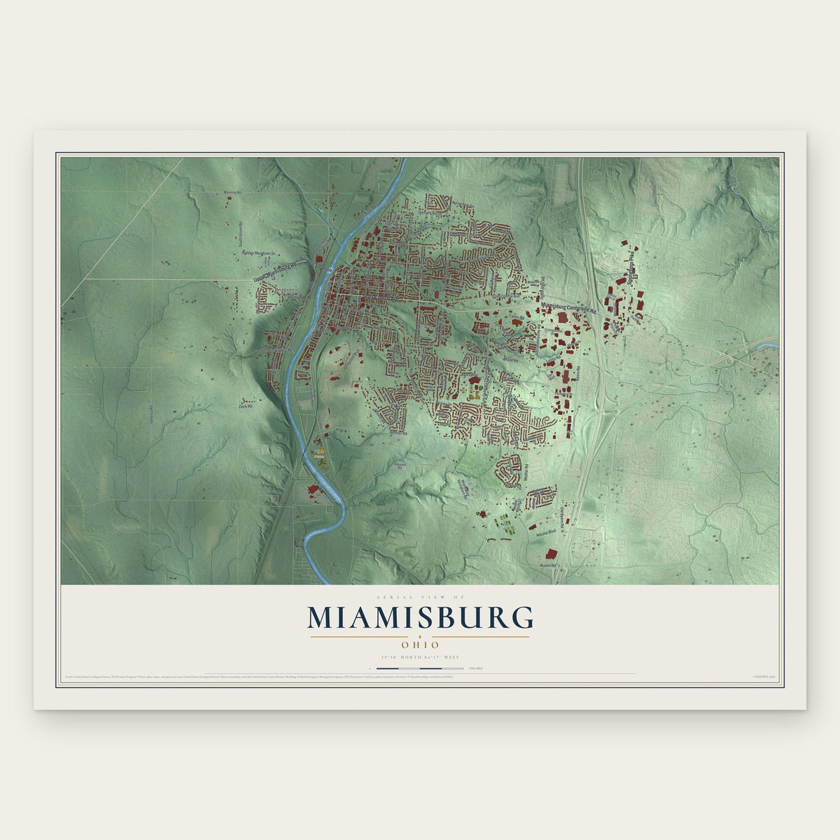
Miamisburg, Ohio Map Art
Building by building, with labeled streets and shaded relief.
12" x 18" Archival Matte Print
A Map of Home. A Work of Art.
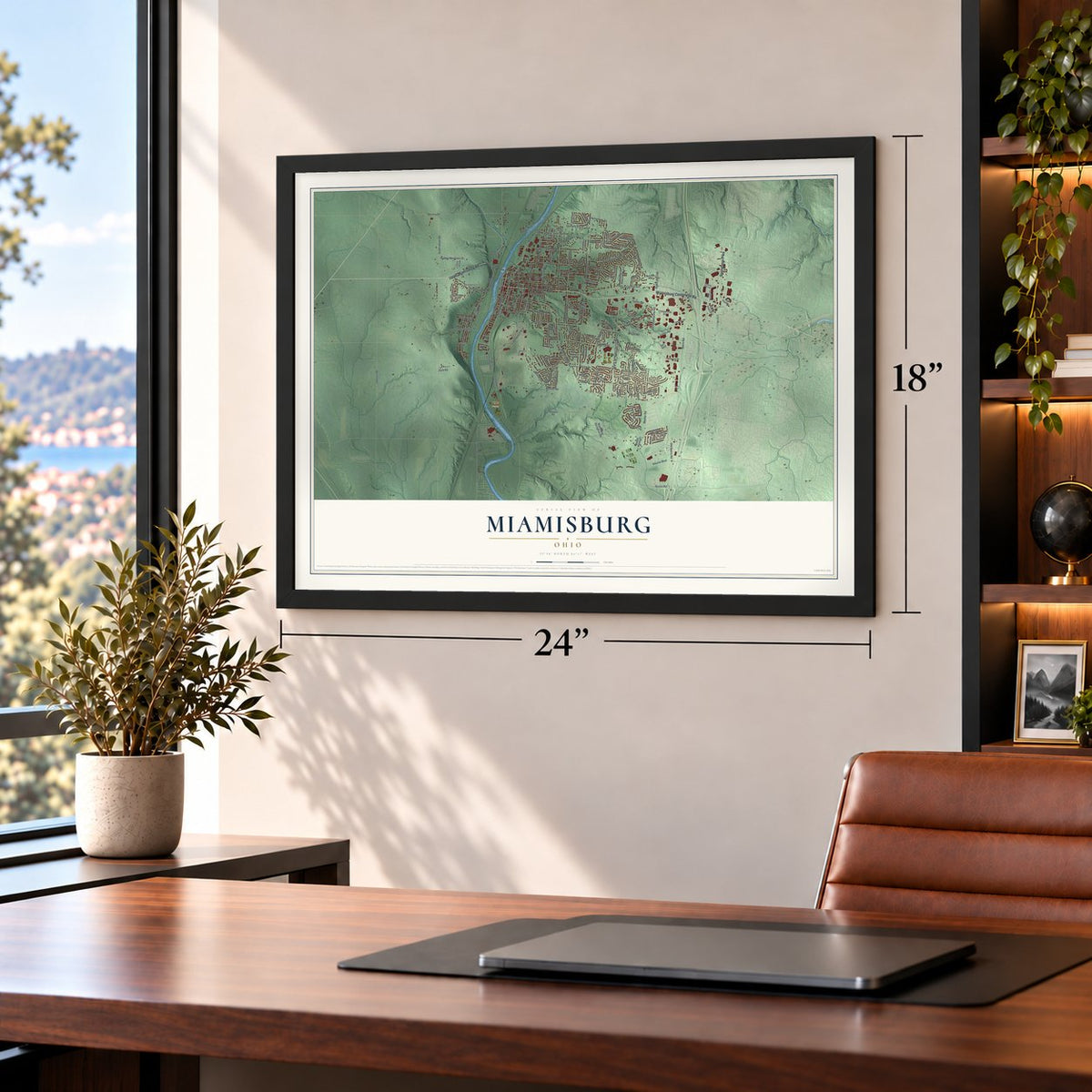
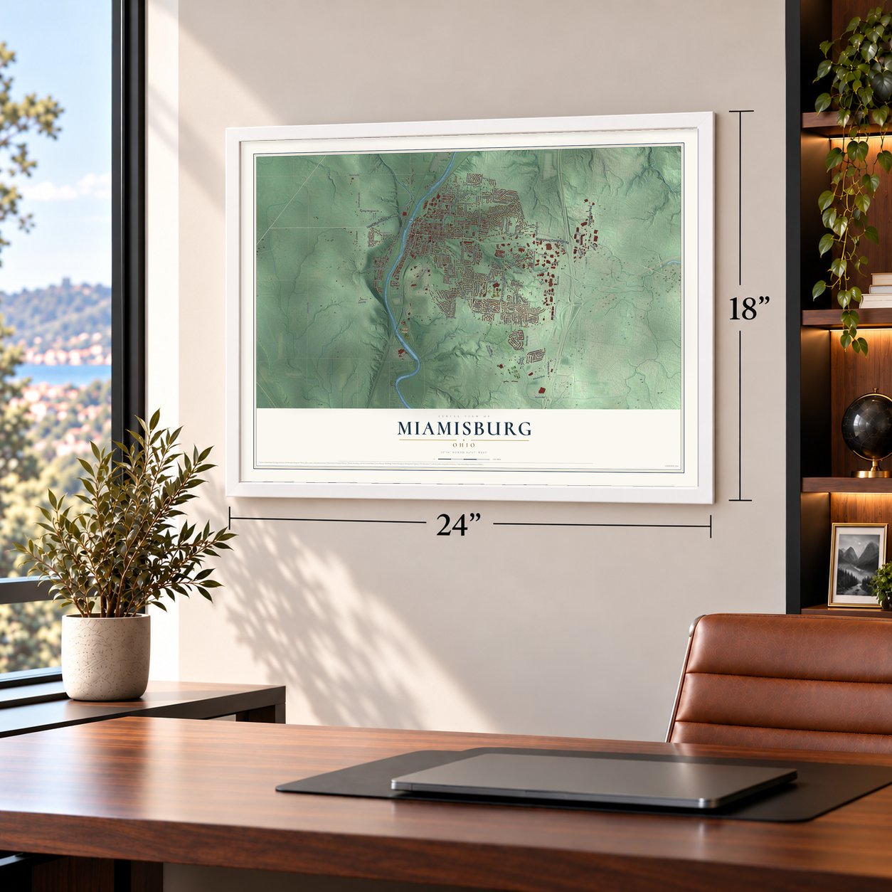
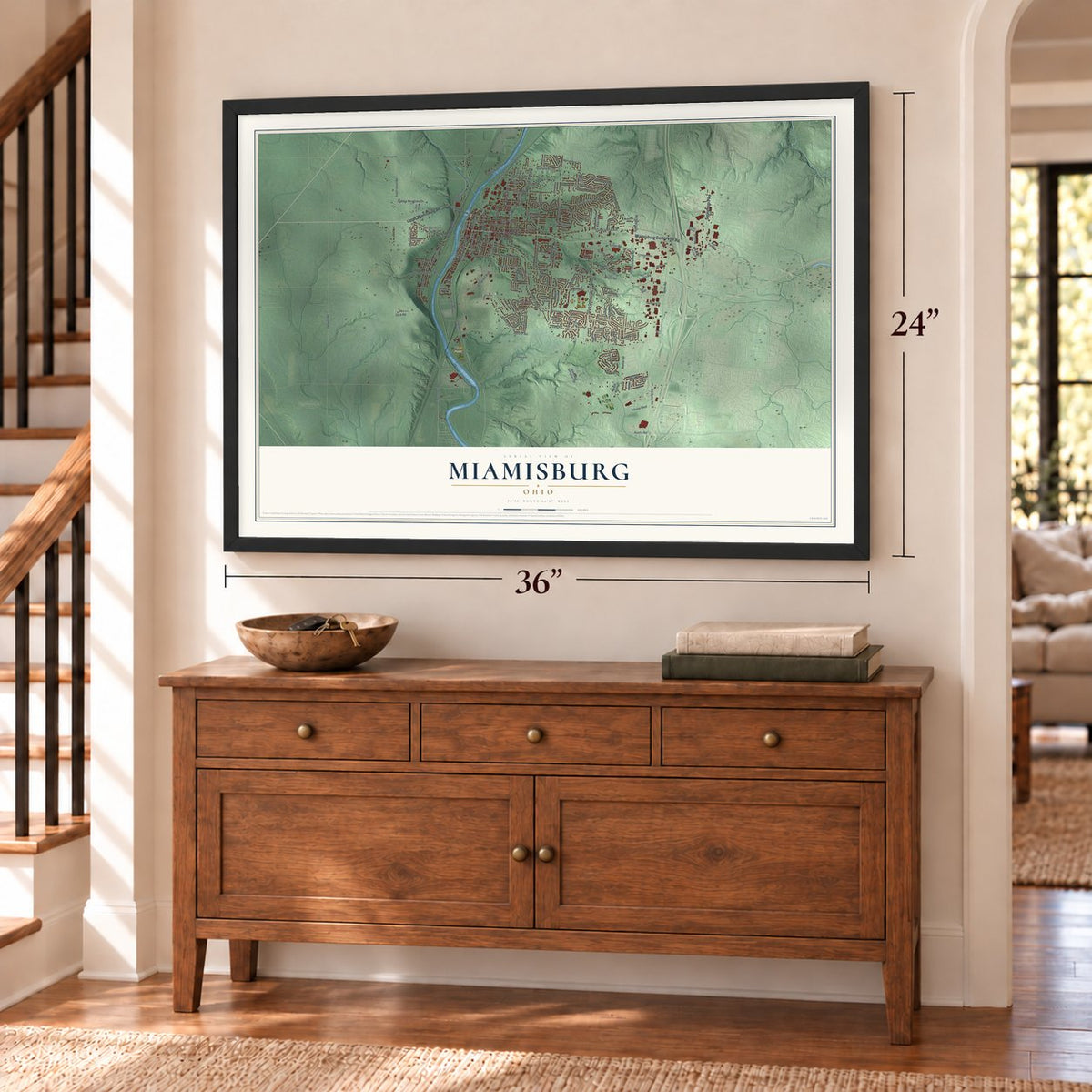
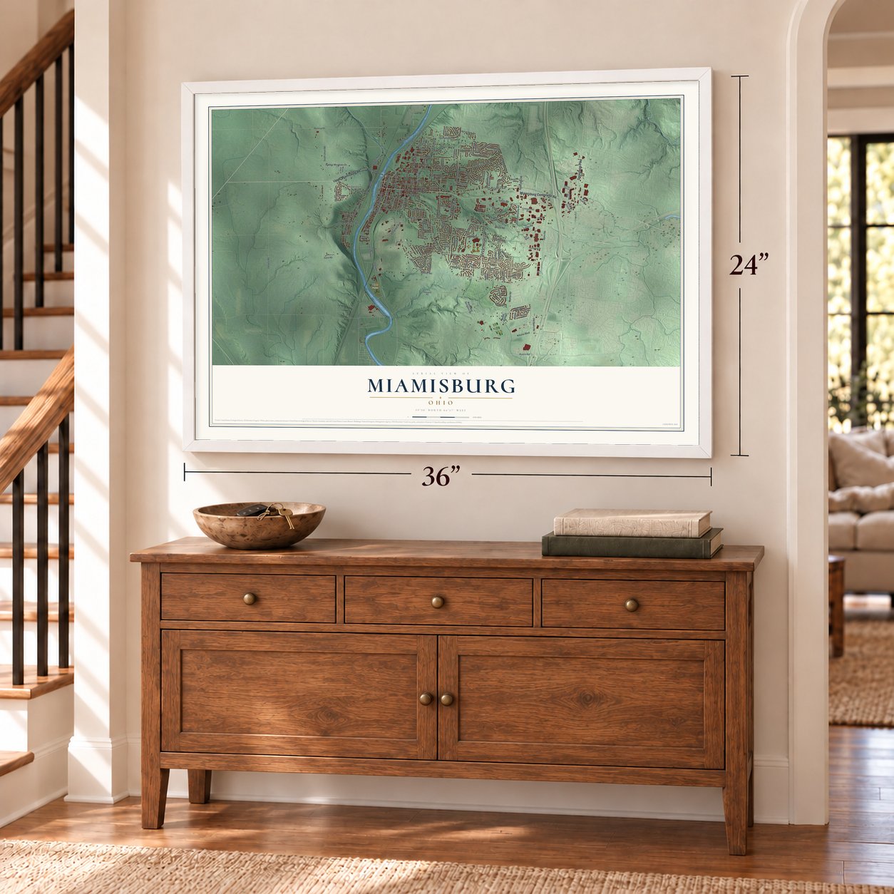
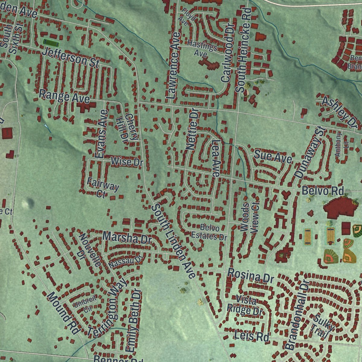
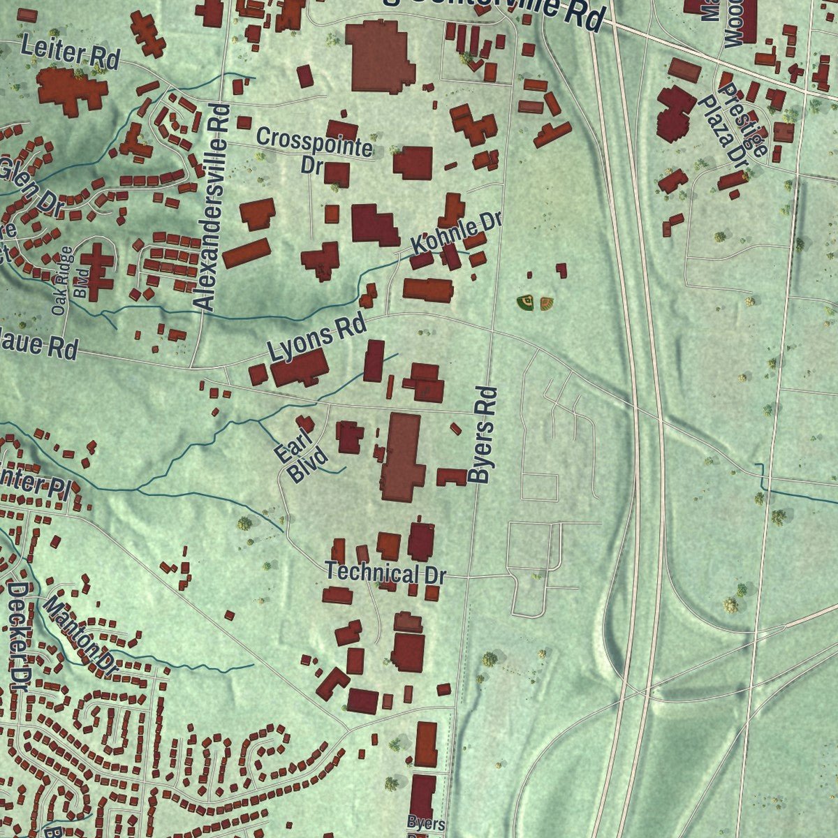
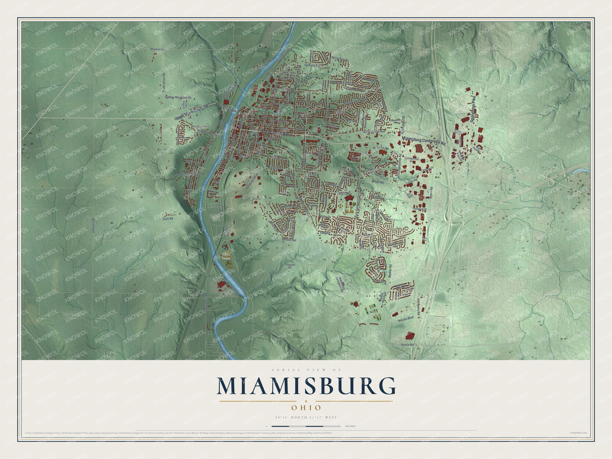
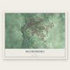
Explore Miamisburg, Ohio from a whole new perspective. Created using aerial imagery and detailed geographic data, this map captures Miamisburg building by building, with labeled streets, familiar landmarks, and shaded topographical relief that highlights the natural contours of the landscape.
Combining modern data with the timeless character of a vintage atlas, this map is just as interesting up close as it is beautiful on the wall. Whether you grew up in Miamisburg, spent memorable years there, or call it home today, this unique map is a great way to celebrate a place that means something to you. Zoom in on the preview to look for your street, and then order a print to put your memories on the wall.
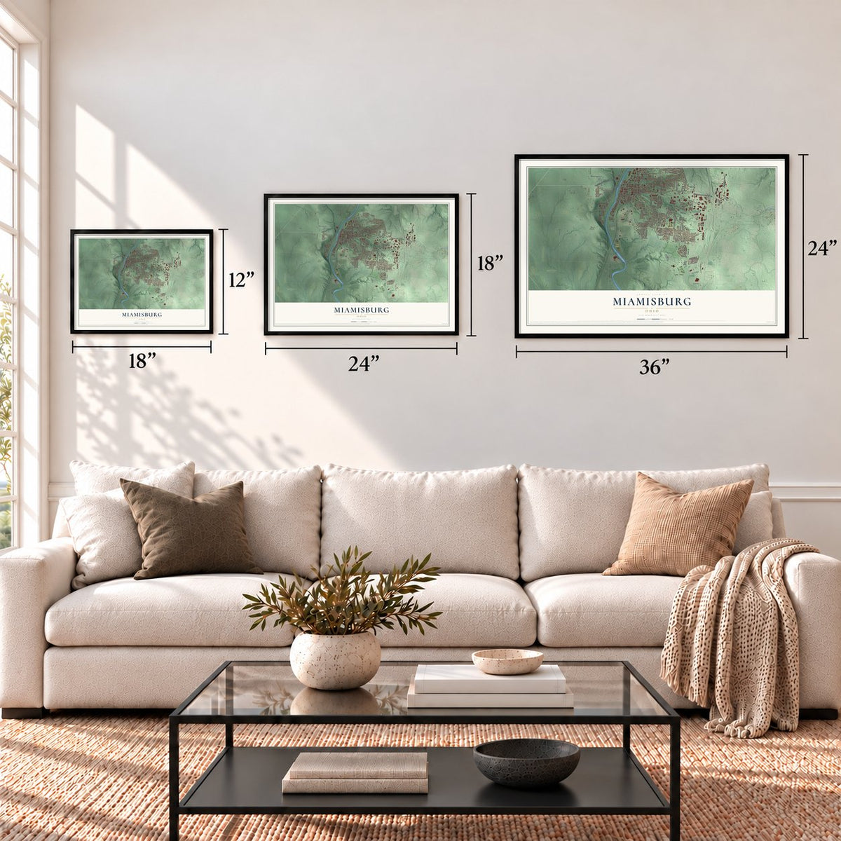
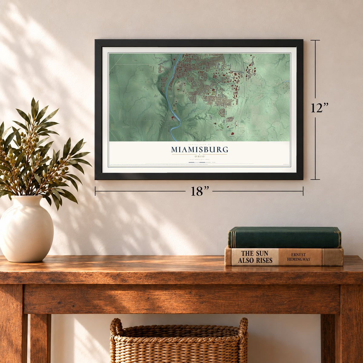
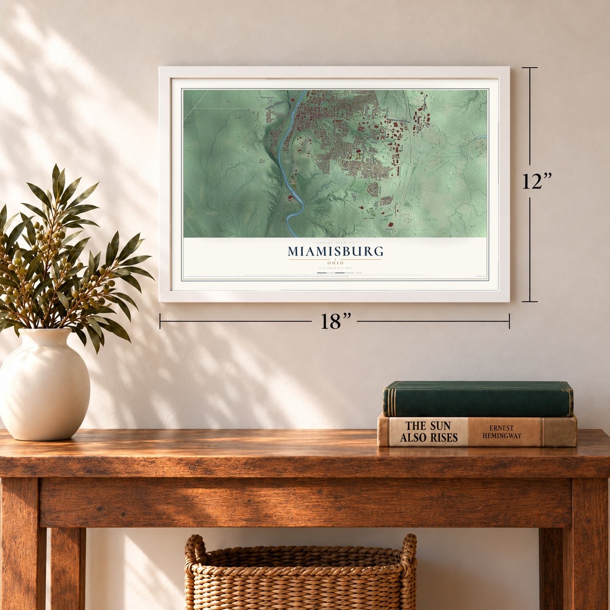
Three ways to hang it
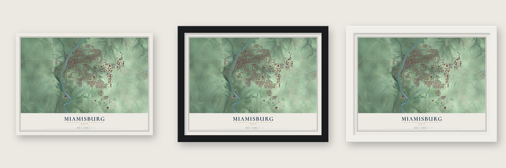
Unframed archival matte, a black wood frame or a white wood frame.
Up close
Geography Worth Displaying
This map was created using accurate cartographic data and authoritative geographic sources, including the U.S. Geological Survey and the Census Bureau. The map brings together terrain, waterways, roads, and building detail. The majority of the streets are labeled, houses are accurately depicted, and the topography is derived from government sources. Combining local data with carefully composed color and shading leads to this beautifully detailed Miamisburg artwork for your wall.
Rather than simply showing street outlines, we’ve included as many of the street names as we could reasonably fit on the map while keeping their names legible. Zoom in on the high resolution preview to see exactly what’s on the map. We truly set out to create a statement piece for anyone who loves Miamisburg. So whether it’s for you, or a gift for someone you love, we hope this map of Miamisburg brings back fond memories.
Read the story behind this map of Miamisburg, Ohio from 2026.
Find your street
Names on the Miamisburg map
Every name below is printed on this map. Look for your street, your school, the park where you played, or the pond down the road.
Places and landmarks2
- Bridgeport
- Rice Fields
Streets and roads170
- East Central Avenue
- Miamisburg Centerville Road
- Springboro Pike
- Upper Miamisburg Road
- Benner Road
- South Main Street
- North Main Street
- Alexandersville Road
- Fairwood Drive
- Lower Miamisburg Road
- William Street
- Maue Road
- Byers Road
- South Union Road
- Belvo Road
- Rosina Drive
- South Gebhart Church Road
- South Heincke Road
- Vanguard Boulevard
- Mound Road
- Lindsey Avenue
- Chautauqua Road
- South Linden Avenue
- Kercher Street
- North Eleventh Street
- North Heincke Road
- Richard Street
- Old Main Street
- East Pearl Street
- East Linden Avenue
Show all 170 streets
- Medlar Road
- West Linden Avenue
- South Riverview Avenue
- Upper River Road
- Lyons Road
- King Richard Parkway
- Orchard Hill Drive
- North Fourth Street
- Brandonhall Drive
- Leiter Road
- Leis Road
- Sycamore Glen Drive
- Sherwood Forest Drive
- Dunaway Street
- North Eighth Street
- Robinhood Drive
- Seibert Avenue
- Lawrence Avenue
- Marsha Drive
- Jefferson Street
- Terrington Way
- Nikolai Boulevard
- Kathy Lane
- Fitzooth Drive
- Park Avenue
- Nettie Drive
- Hidden Meadows Drive
- Carlwood Drive
- North Sixth Street
- Mound Avenue
- Opal Avenue
- Lea Avenue
- Decker Drive
- South Second Street
- Overland Trail
- Evans Avenue
- Range Avenue
- Zeck Road
- Old Byers Road
- Gamewell Drive
- South Alex Road
- North First Street
- Emily Beth Drive
- Ashley Drive
- Austin Road
- Louis Street
- Jamaica Road
- Water Street
- Curtis Drive
- Painter Place
- Sue Avenue
- West Sycamore Street
- Dayton Cincinnati Pike
- South Dixie Avenue
- Cincinnati Pike
- Manning Road
- Technical Drive
- Soldiers Home Miamisburg Road
- North Riverview Avenue
- North Twelfth Street
- Miamisburg Springboro Road
- Lord Fitzwalter Drive
- North Gebhart Church Road
- North Ninth Street
- South First Street
- Buckeye Street
- North Tenth Street
- Appleblossom Drive
- Pipestone Drive
- Sulky Trail
- Bayberry Drive
- South Sixth Street
- South Fifth Street
- Mall Woods Drive
- Mall Park Drive
- Bonniebrook Drive
- Manton Drive
- Kohnle Drive
- Vista Ridge Drive
- Crosspointe Drive
- Maple Avenue
- Sydneys Bend Drive
- Prestige Plaza Drive
- Wilson Park Drive
- Sycamore View Court
- Mellow Drive
- Fairway Court
- Kirkley Hall Drive
- Mears Drive
- Wise Drive
- Hidden Creek Drive
- Cherry Hill Drive
- Woods View Court
- Medlar Woods Court
- Almedia Court
- Blanche Drive
- Loop Street
- Sundance Drive
- Shepard Road
- Nouvelle Drive
- Ethel Avenue
- Earl Boulevard
- Arthur Avenue
- South Street
- Jamestown Drive
- Belvo Estates Drive
- Aberfield Lane
- Diana Avenue
- South Fourth Street
- Dee Avenue
- Eagle Mountain Drive
- Hastings Avenue
- Enterprise Court
- Whisper Drive
- Byers Ridge Drive
- Carrington Lane
- Beauview Lane
- Cedar Ridge Court
- Thayer Avenue
- Nassau Drive
- Summit Glen Drive
- Case Court
- South Miami Street
- Carolyn Drive
- Sir Lockesley Drive
- Oakbark Street
- Oak Ridge Boulevard
- East McGuire Street
- Hollowcreek Drive
- Bending Branch Lane
- North Lindsey Avenue
- Cudgell Drive
- Floyd Avenue
- Lyncris Lane
- Cambray Court
- Crosley Court
- Anthony Lane
- Umbreit Circle
- Tivoli Court
- Byers Point
Names are listed as they appear on the printed map. Zoom into the product photos to find them.
About Miamisburg, Ohio
Miamisburg is a city of 19,923 people in southern Montgomery County, on the Great Miami River south of Dayton. Around 1797 Zechariah Hole brought his family from Virginia and put up a stockade facing the mouth of Bear Creek, on the river's west bank. Squatters, surveyors and new settlers lived in its cabins until they had homes of their own, so the settlement came to be called Hole's Station. Most of the newcomers came from Pennsylvania.
Work on the Miami and Erie Canal through the town was under way by 1827. The canal formally opened in January 1829, when the packet boat Governor Brown became the first to pass through, and boats from Cincinnati soon traveled through Miamisburg on their way to Dayton. Businesses grew along the water, and the town was incorporated as a village in 1832 and became a city in the 1920s.
- An Adena burial moundThe Miamisburg Mound is thought to have been raised by people of the Adena culture, sometime around 1000 to 200 BCE, as a place to bury their dead. It ranks among the largest cone-shaped burial mounds in the eastern United States. It joined the National Register in 1970, and it gave its name to the atomic laboratory built nearby.
- Mound Laboratory from 1946Work began on Mound Laboratory in 1946, and after World War II it became the country's first permanent Atomic Energy Commission site. Run by the Monsanto Chemical Company on 306 acres, it made detonators for nuclear weapons behind guards, fencing and razor wire. At its peak about 2,500 people worked in its 116 buildings. After the Cold War it built nuclear power generators for space probes, until the Department of Energy ended production in May 1993.
- Bags of food for IrelandDuring Ireland's Great Famine, Miamisburg resident George Kinder sent bags of food across the ocean. Each one carried his address and an advertisement offering work to immigrants, and some Irish families did come to Miamisburg and nearby towns to find jobs.
- The 1986 phosphorus cloudOn July 8, 1986, 15 cars of a Baltimore and Ohio train left the tracks in Miamisburg, and tank cars of phosphorus exploded and burned on two days in a row. A thick white cloud drifted north as far as Yellow Springs. Between 25,000 and 40,000 residents were evacuated, at the time the largest evacuation from a train accident in U.S. history, and still the largest Ohio has seen.
Keep exploring Ohio
Miamisburg is one of 1,389 Ohio towns we've mapped. Every dot on the map is a print of its own.
The search covers every state, Ohio first.
Near Miamisburg
Order 2 or more town maps and save 10%. Shown in the size and finish you picked above, so they hang as a set.
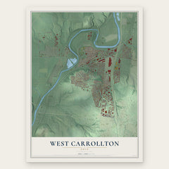
- West Carrollton 12" x 18" / Archival Matte Print $39.99
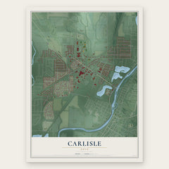
- Carlisle 12" x 18" / Archival Matte Print $39.99
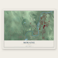
- Moraine 12" x 18" / Archival Matte Print $39.99
More maps nearby: Germantown, Springboro, Franklin, Centerville and Five Points.
The art of mapping a place
How This Map Was Made
Real places. Remarkable detail. Discover the layers that turn geographic data into a map of home.

The view from above
Aerial imagery reveals the character of the land: woodland, open fields, and the patterns of a place.

The shape of the land
Elevation data brings hills, valleys, and subtle changes in the landscape into view.

The details of home
Roads, waterways, and building footprints come together to make the map feel unmistakably local.

Geography becomes art
Considered color, shading, and typography bring the layers together in a map made for your wall.


Process illustrated with Mendon, Massachusetts. Aerial imagery: USDA NAIP. Terrain: USGS 3D Elevation Program. Map details and finished artwork: KNOWOL.
The Details
About This Print
Choose an archival matte print, or a black or white Ayous wood frame. The archival matte print is unframed.
Select your size and finish above to see the matching product image and price.
Materials & Craftsmanship
A contemporary map with the character of a classic atlas, printed on archival matte paper. Optional frames are made from Ayous wood.
Your printed map does not include the watermark shown in the full-map preview.
Shipping & Delivery
Free shipping within the United States. Every print is made to order in the USA.
Buying a gift? Add a note in your cart and we'll include it. We never put prices in the package.
Prints ship within 2 to 3 business days. Allow 7 to 10 days total from ordering for delivery. Timing may vary during holidays or periods of high order volume.
Read our shipping policy.
Returns and damaged prints
Each print is made to order. Change-of-mind refunds are not available after production.
If your print arrives damaged, misprinted or incorrect, contact support@knowol.com within 30 days of receiving it. Include your order number, photos and a description of the issue.
Read our full refund and replacement policy. For questions about your order, email support@knowol.com.