
Search for another town




Free U.S. delivery 7 to 10 days after you order
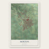
Morton, Illinois Map Art
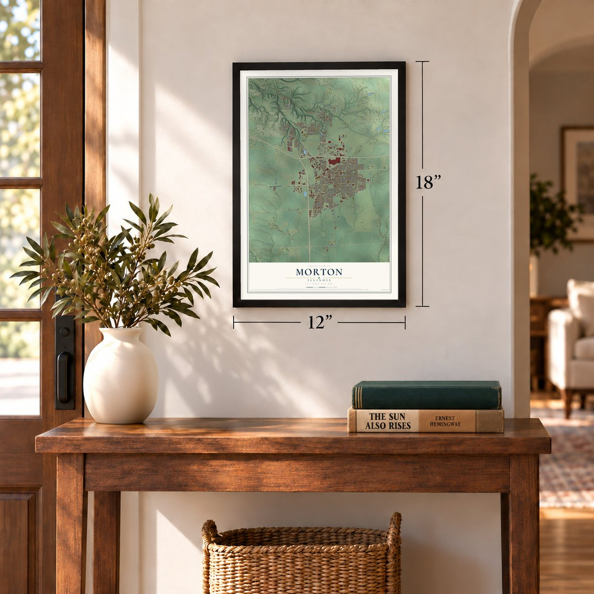
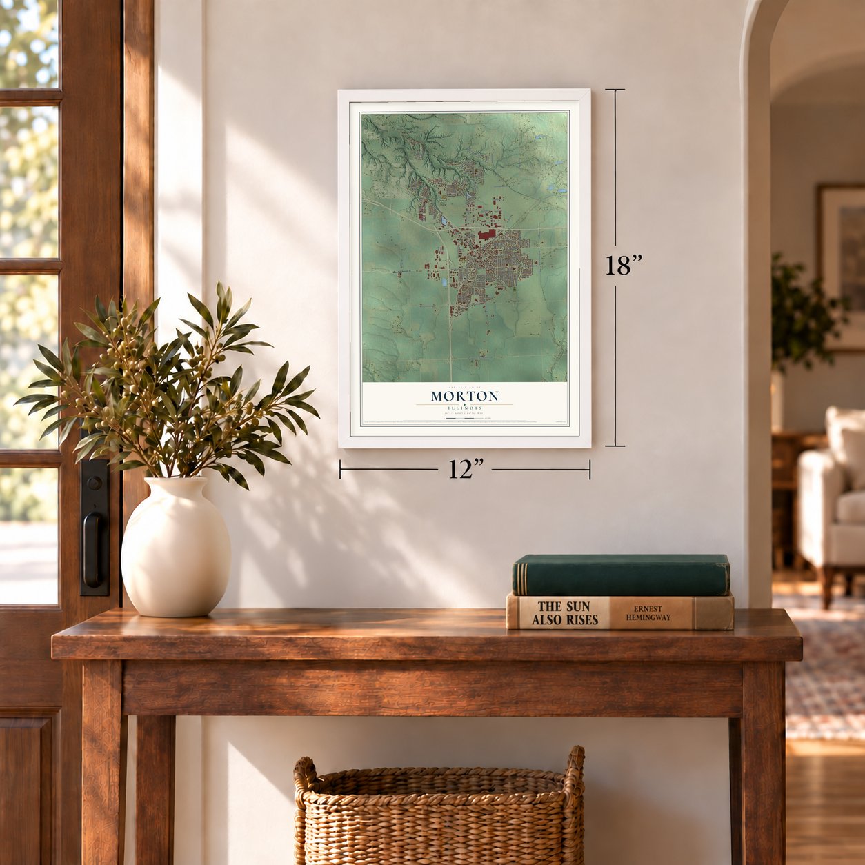
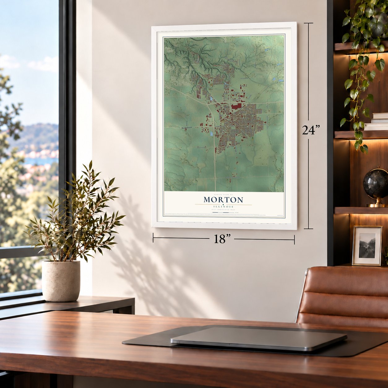
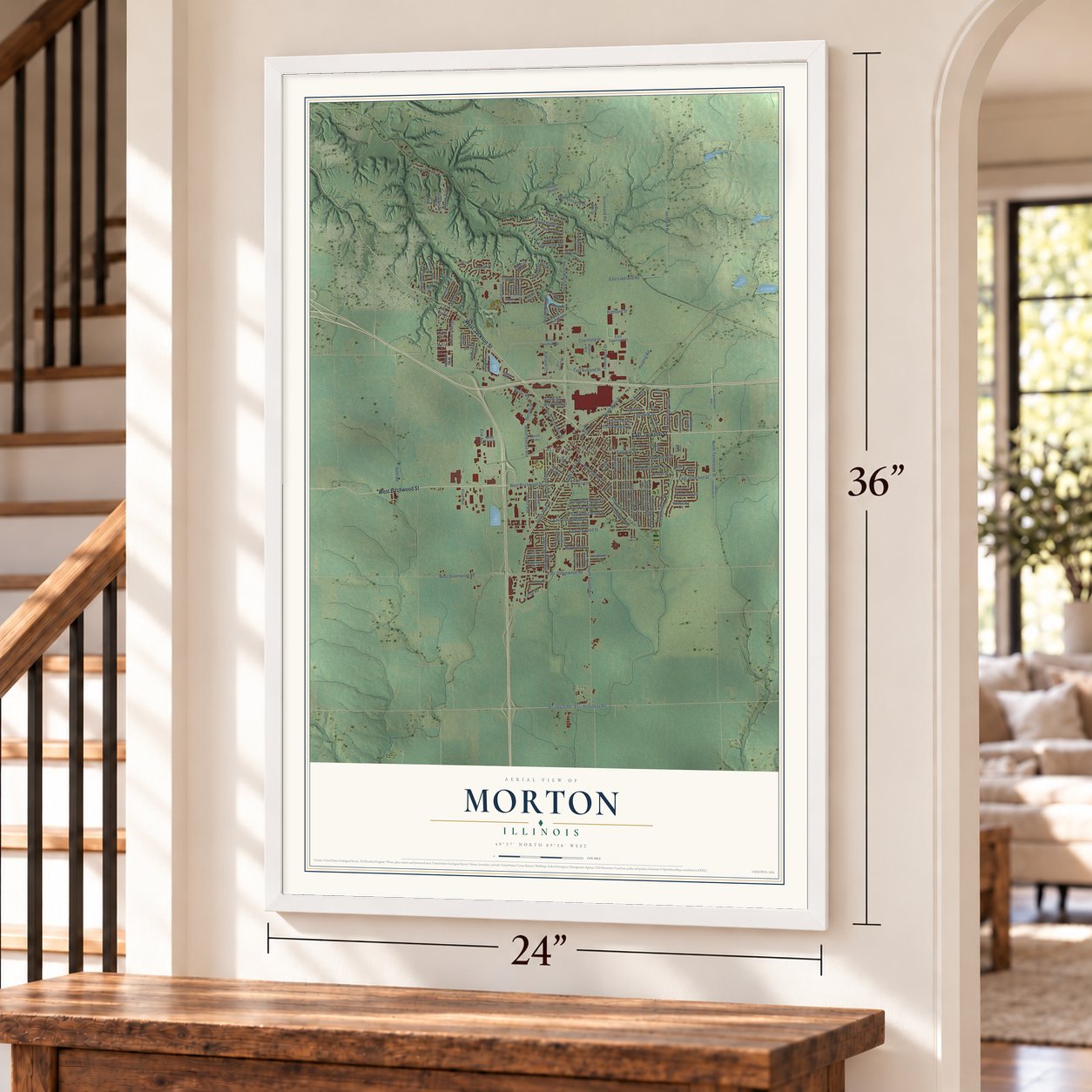
A new map of Morton, Illinois, made in 2026 and printed to order on thick archival matte paper.
12" x 18" Archival Matte Print
A Map of Home. A Work of Art.
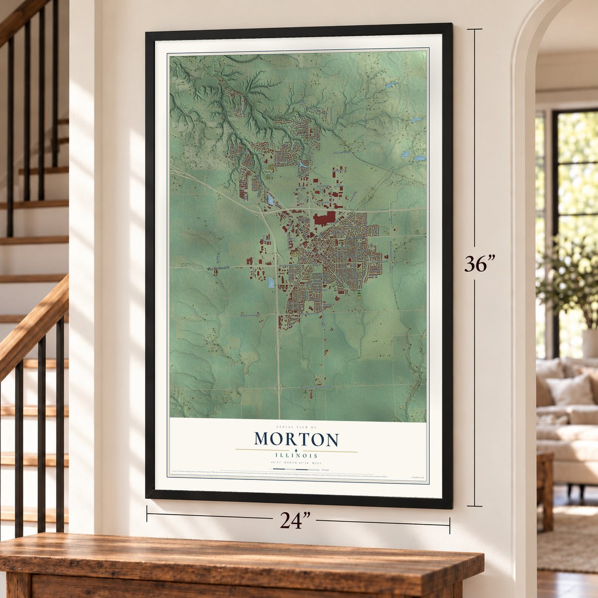
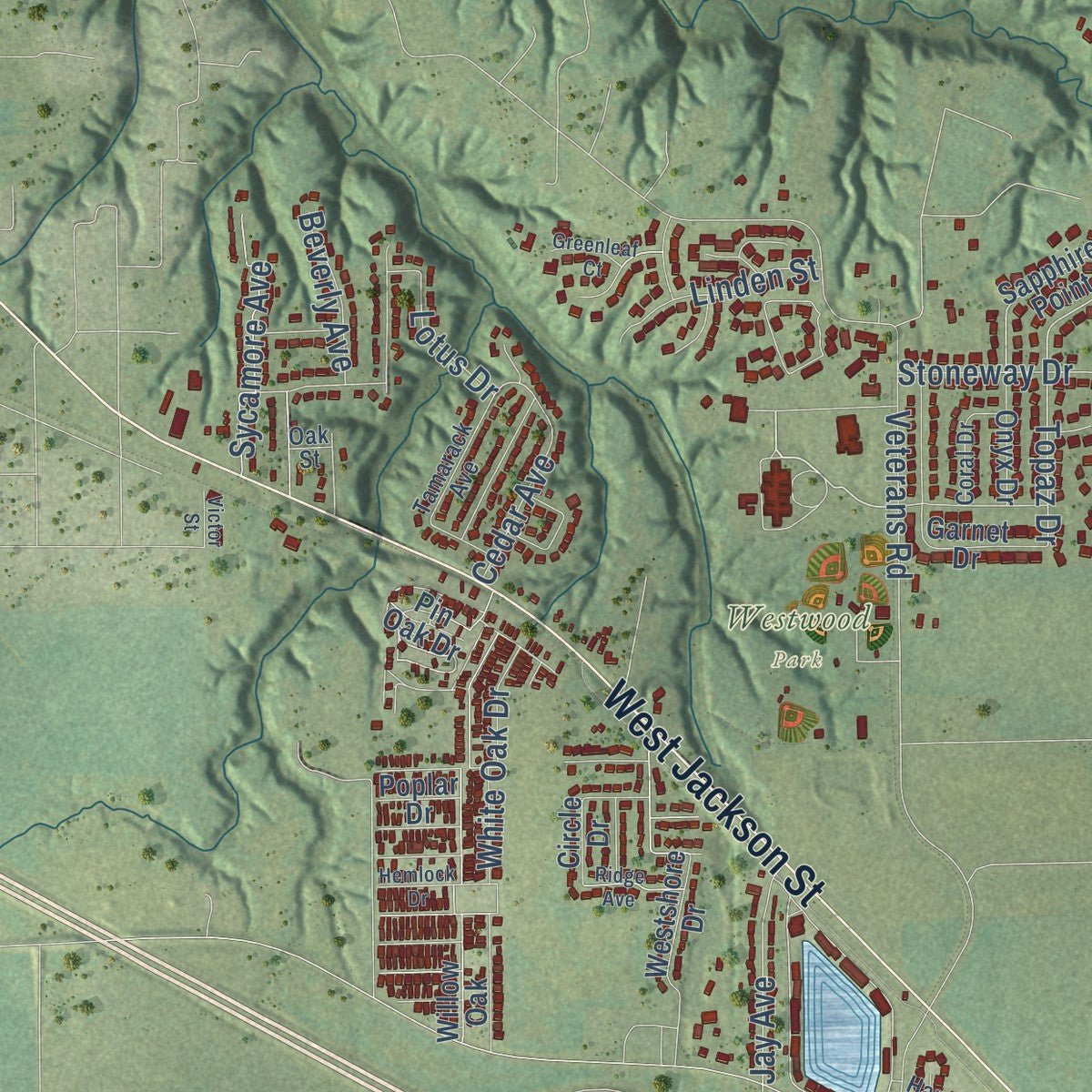
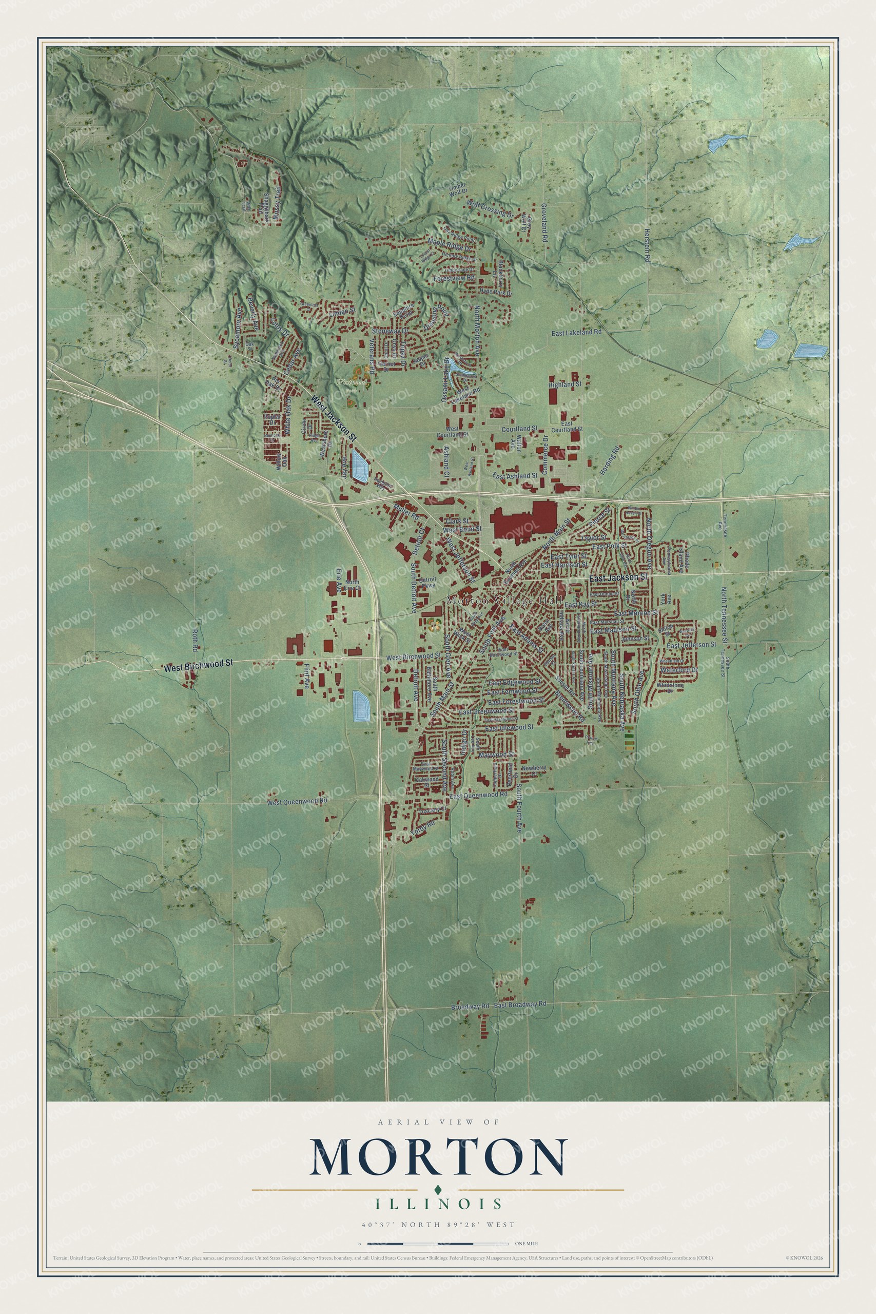
Explore Morton, Illinois from a whole new perspective. Created using aerial imagery and detailed geographic data, this map captures Morton building by building, with labeled streets, familiar landmarks, and shaded topographical relief that highlights the natural contours of the landscape.
Combining modern data with the timeless character of a vintage atlas, this map is just as interesting up close as it is beautiful on the wall. Whether you grew up in Morton, spent memorable years there, or call it home today, this unique map is a great way to celebrate a place that means something to you. Zoom in on the preview to look for your street, and then order a print to put your memories on the wall.
Three ways to hang it
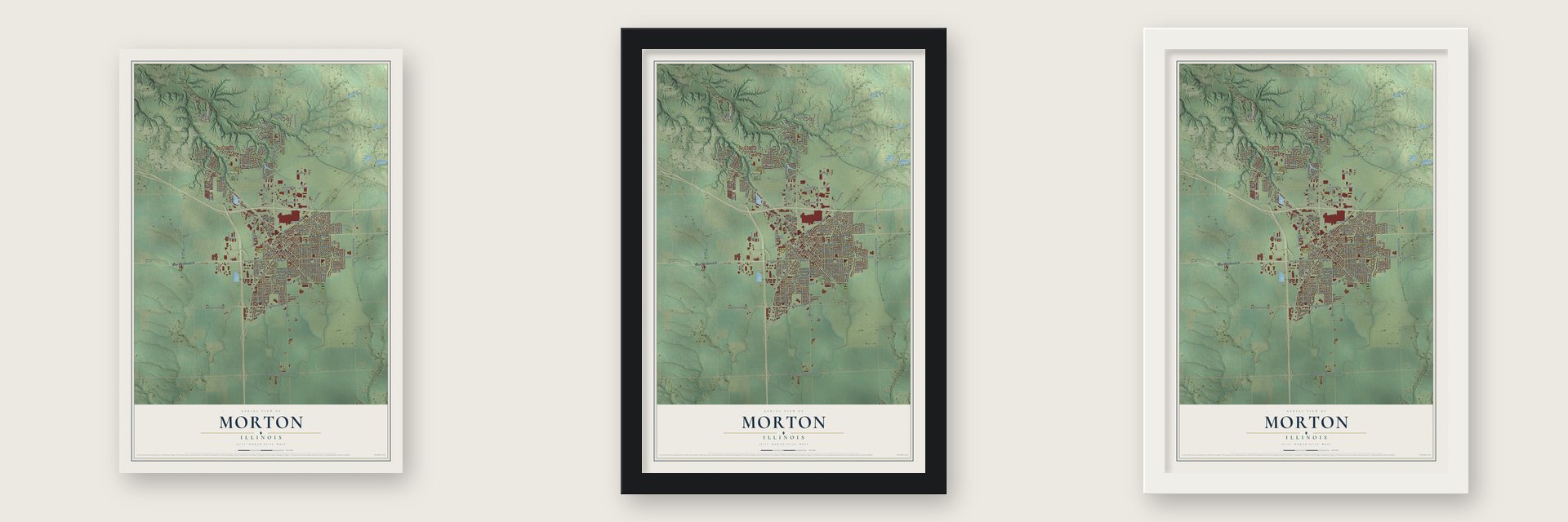
Unframed archival matte, a black wood frame or a white wood frame.
Up close
Geography Worth Displaying
This map was created using accurate cartographic data and authoritative geographic sources, including the U.S. Geological Survey and the Census Bureau. The map brings together terrain, waterways, roads, and building detail. The majority of the streets are labeled, houses are accurately depicted, and the topography is derived from government sources. Combining local data with carefully composed color and shading leads to this beautifully detailed Morton artwork for your wall.
Rather than simply showing street outlines, we’ve included as many of the street names as we could reasonably fit on the map while keeping their names legible. Zoom in on the high resolution preview to see exactly what’s on the map. We truly set out to create a statement piece for anyone who loves Morton. So whether it’s for you, or a gift for someone you love, we hope this map of Morton brings back fond memories.
Read the story behind this map of Morton, Illinois from 2026.
About Morton, Illinois
Morton is a village of 17,117 people in Tazewell County, about 10 miles northeast of Peoria. It grew up where two railroads crossed, the Atchison, Topeka & Santa Fe and the Terre Haute & Peoria. The village had its own bank and newspaper, and its population climbed from 420 in 1880 to 657 in 1890 and 894 in 1900.
Farming and freight still shape the local economy. Libby's runs a pumpkin cannery in the village, Caterpillar keeps a distribution facility here, and Morton Buildings, Inc. has its corporate headquarters in town. Interstates that run in every direction and the rich farmland all around bring in workers from neighboring towns, because Morton has more jobs than its own people fill.
- Morton Pottery, 1922Six brothers, Andrew Jr., Henry, William, Samuel, Solomon and Nathan Rapp, sons of Andrew Rapp Sr., started Morton Pottery in 1922. Besides kitchenware and decorative pieces, the company made ashtrays for Everett Dirksen, elephants for Republican campaigns and one special donkey for Joe Kennedy, the brother of JFK.
- Pumpkin Capital of the WorldEvery September the village throws the Morton Pumpkin Festival, which runs for four days. Morton calls itself the Pumpkin Capital of the World and says that 99 percent of all canned pumpkin on earth comes from here.
Find your street
Names on the Morton map
Every name below is printed on this map. Look for your street, your school, the park where you played, or the pond down the road.
Places and landmarks2
- Morton Village Hall
- Westwood Park
Streets and roads151
- West Birchwood Street
- West Jackson Street
- East Jackson Street
- Harding Road
- East Ashland Street
- Detroit Avenue
- North Morton Avenue
- South Detroit Avenue
- South Fourth Avenue
- East Idlewood Street
- Detroit Court
- Topaz Drive
- North Main Street
- East Jefferson Street
- Veterans Road
- South Main Street
- West Jefferson Street
- East Monroe Street
- East Queenwood Road
- South First Avenue
- South Second Avenue
- Muller Road
- West Queenwood Road
- East Greenwood Street
- East Lakeland Road
- Erie Avenue
- East Forestwood Street
- North Oregon Avenue
- East Madison Street
- Flint Avenue
Show all 151 streets
- Maple Ridge Drive
- Broadway Road
- East Broadway Road
- North Tennessee Street
- East Fernwood Street
- East Polk Street
- Wolf Crossing Drive
- Stoneway Drive
- South Missouri Avenue
- East Edgewood Street
- White Oak Drive
- Diamond Point
- South Nebraska Avenue
- Brentwood Road
- South Ohio Avenue
- South Glen Avenue
- South Montana Avenue
- Commerce Drive
- East Adams Street
- Taylor Street
- Pierce Street
- East Tyler Street
- Sycamore Avenue
- Courtland Street
- Highland Street
- East Kay Street
- Beverly Avenue
- Yordy Road
- Mossy Trail
- East Harrison Street
- Forestview Road
- Ossami Lake Drive
- Groveland Road
- Linden Street
- Jay Avenue
- Maywood Street
- Cedar Avenue
- West Bond Street
- Waterford Drive
- Lotus Drive
- Herstein Road
- Roth Road
- Indigo Drive
- Ashland Court
- Clark Street
- South Baltimore Avenue
- North Indiana Avenue
- Sapphire Point
- Willow Oak
- Garnet Drive
- Sunset Road
- South Louisiana Avenue
- Tuscany Court
- Westshore Drive
- West Courtland Street
- North Bauman Avenue
- Deerfield Drive
- Rhode Island Avenue
- West Lakeland Road
- East Courtland Street
- Oakwood Street
- Hyde Park Drive
- Newberry Court
- West Wick Street
- Blackberry Lane
- Grey Wolf Court
- Circle Drive
- North Drive
- Shaggybark Trail
- Johnson Street
- Whetstone Drive
- Rassi Avenue
- Detroit Parkway
- Onyx Drive
- Walton Avenue
- Timber Wolf Drive
- North Erie Court
- Shiloh Street
- York Avenue
- Jasper Drive
- Pin Oak Drive
- Poplar Drive
- South Lee Avenue
- South Mississippi Avenue
- South Minnesota Avenue
- Hickory Ridge Drive
- East Dunne Street
- East Birchwood Street
- Copperfield Drive
- East Maywood Street
- Timberlane Drive
- East Marshall Street
- Tamarack Avenue
- Oak Ridge Point
- North Louisiana Avenue
- South Tennessee Street
- Sunset Court
- Pennsylvania Avenue
- Robin Avenue
- Tennessee Avenue
- Coral Drive
- Hampton Way
- Villa Trail
- Oak Street
- East Hazelwood Street
- North Ohio Avenue
- West Ashland Street
- Wheatfield Drive
- South Kansas Avenue
- Northshore Drive
- Locust Ridge Court
- Warwick Circle
- South Plum Avenue
- Greenleaf Court
- Hemlock Drive
- Barrington Place
- Winter Haven Street
- Southshore Drive
- Ridge Avenue
- Prairie Trce
- Victor Street
Names are listed as they appear on the printed map. Zoom into the product photos to find them.
The art of mapping a place
How This Map Was Made
Real places. Remarkable detail. Discover the layers that turn geographic data into a map of home.

The view from above
Aerial imagery reveals the character of the land: woodland, open fields, and the patterns of a place.

The shape of the land
Elevation data brings hills, valleys, and subtle changes in the landscape into view.

The details of home
Roads, waterways, and building footprints come together to make the map feel unmistakably local.

Geography becomes art
Considered color, shading, and typography bring the layers together in a map made for your wall.


Process illustrated with Mendon, Massachusetts. Aerial imagery: USDA NAIP. Terrain: USGS 3D Elevation Program. Map details and finished artwork: KNOWOL.
The Details
About This Print
Choose an archival matte print, or a black or white Ayous wood frame. The archival matte print is unframed.
Select your size and finish above to see the matching product image and price.
Materials & Craftsmanship
A contemporary map with the character of a classic atlas, printed on archival matte paper. Optional frames are made from Ayous wood.
Your printed map does not include the watermark shown in the full-map preview.
Shipping & Delivery
Free shipping within the United States. Every print is made to order in the USA.
Buying a gift? Add a note in your cart and we'll include it. We never put prices in the package.
Prints ship within 2 to 3 business days. Allow 7 to 10 days total from ordering for delivery. Timing may vary during holidays or periods of high order volume.
Read our shipping policy.
Returns and damaged prints
Each print is made to order. Change-of-mind refunds are not available after production.
If your print arrives damaged, misprinted or incorrect, contact support@knowol.com within 30 days of receiving it. Include your order number, photos and a description of the issue.
Read our full refund and replacement policy. For questions about your order, email support@knowol.com.
Find your town
Looking for another city?
Find a map of home in our Illinois collection, or any town in the country.
Nearby
Maps of towns near Morton
Know someone from one of these towns? Their map makes a great gift.
 East Peoria
, Illinois
From $39.99See the map
 Tremont
, Illinois
From $39.99See the map
 Washington
, Illinois
From $39.99See the map
More maps nearby: Deer Creek, Marquette Heights, Creve Coeur, Mackinaw and North Pekin.