
Search for another town





Free U.S. delivery 7 to 10 days after you order
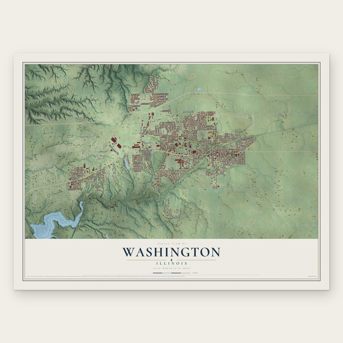
Washington, Illinois Map Art
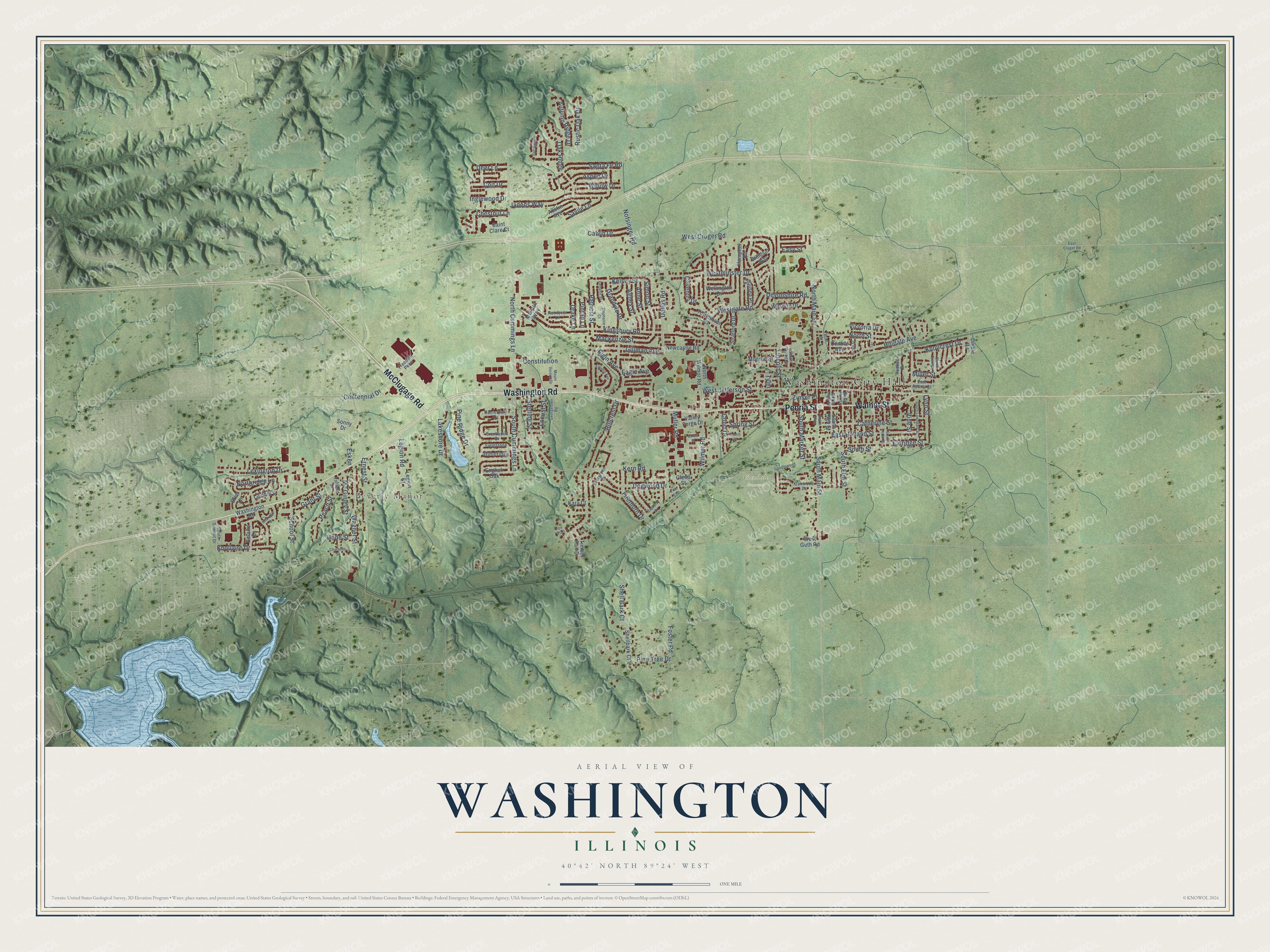
A new map of Washington, Illinois, made in 2026 and printed to order on thick archival matte paper.
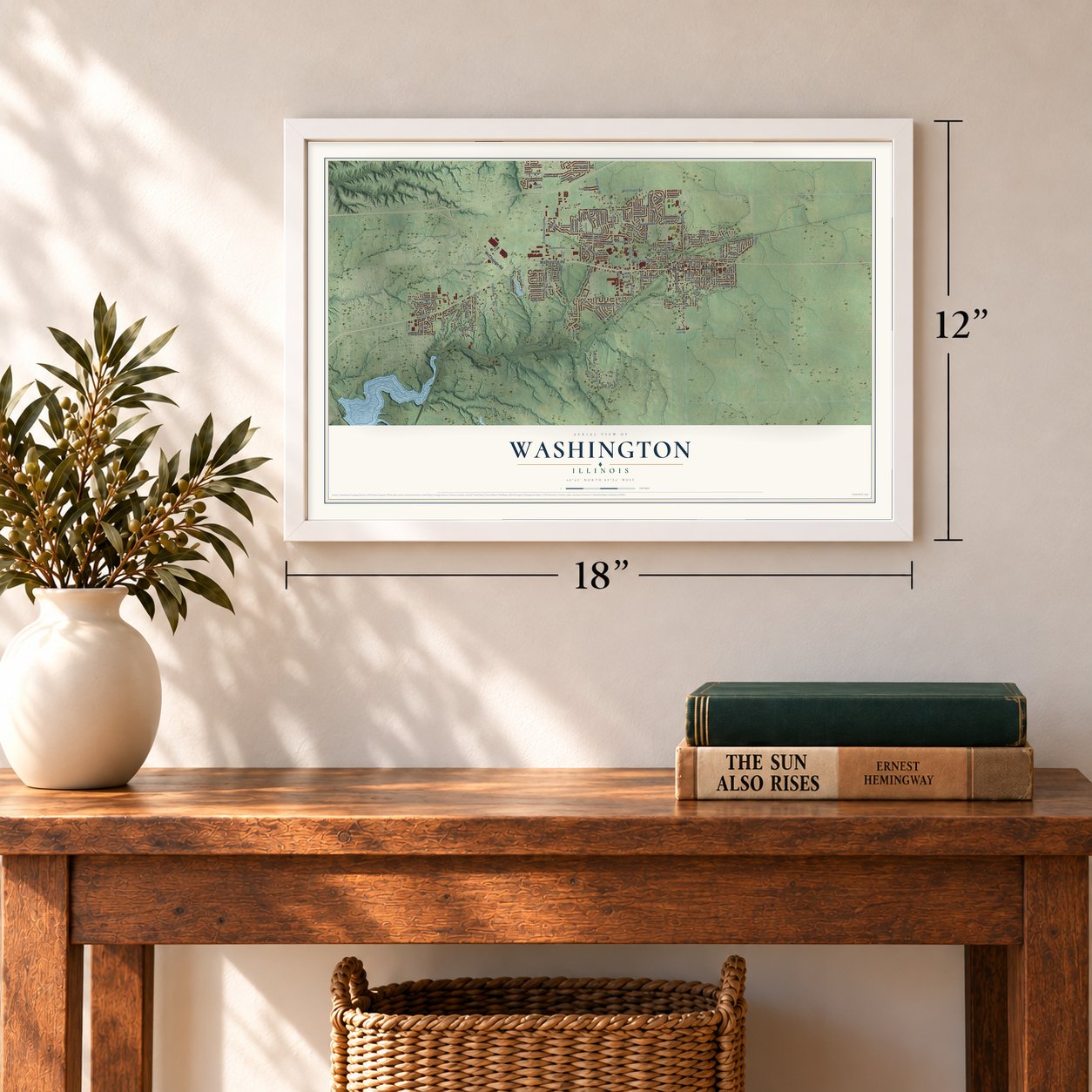
12" x 18" Archival Matte Print
A Map of Home. A Work of Art.
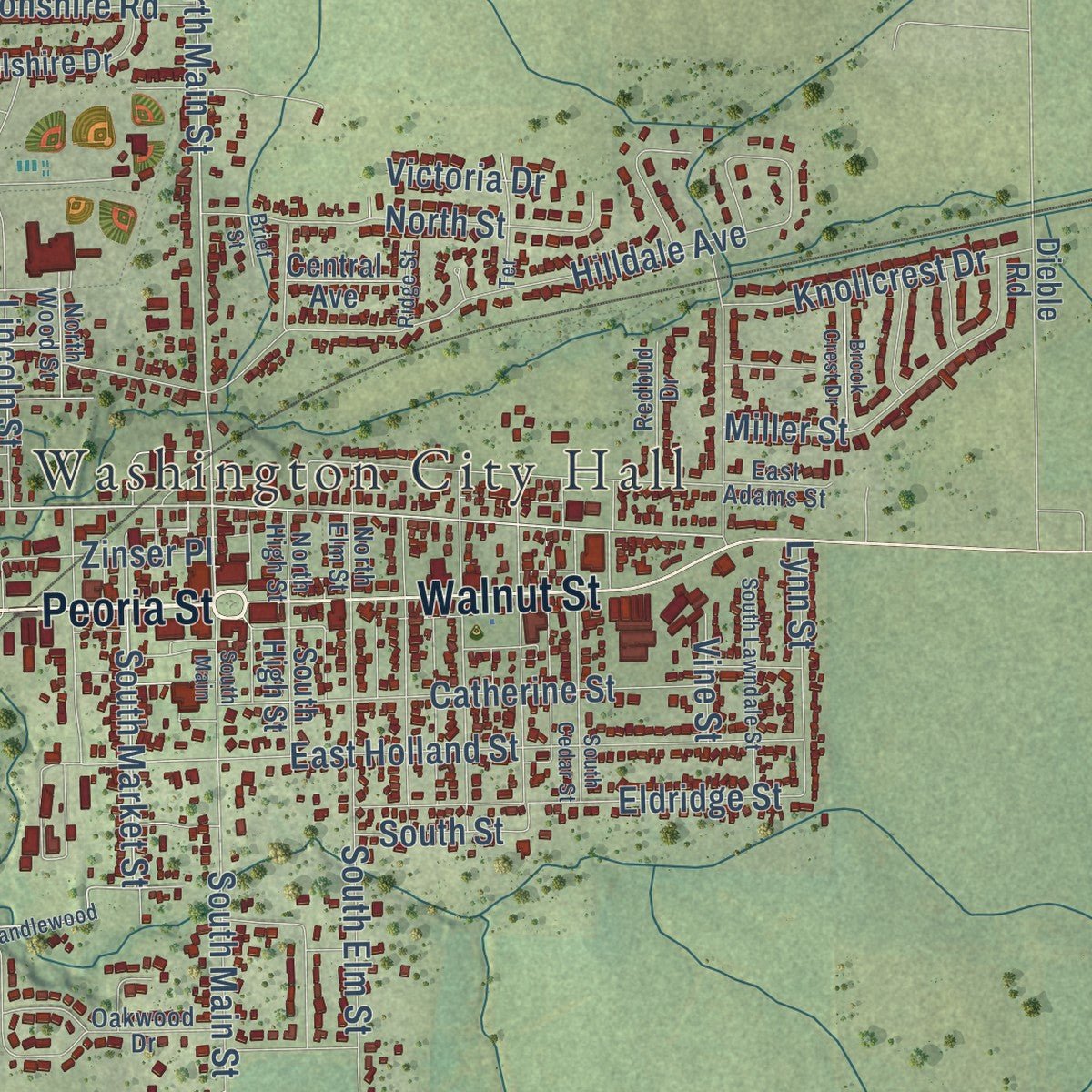
Explore Washington, Illinois from a whole new perspective. Created using aerial imagery and detailed geographic data, this map captures Washington building by building, with labeled streets, familiar landmarks, and shaded topographical relief that highlights the natural contours of the landscape.
Combining modern data with the timeless character of a vintage atlas, this map is just as interesting up close as it is beautiful on the wall. Whether you grew up in Washington, spent memorable years there, or call it home today, this unique map is a great way to celebrate a place that means something to you. Zoom in on the preview to look for your street, and then order a print to put your memories on the wall.
Three ways to hang it
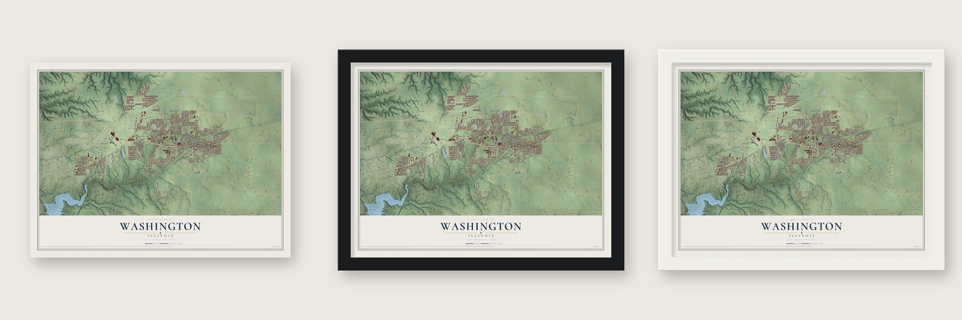
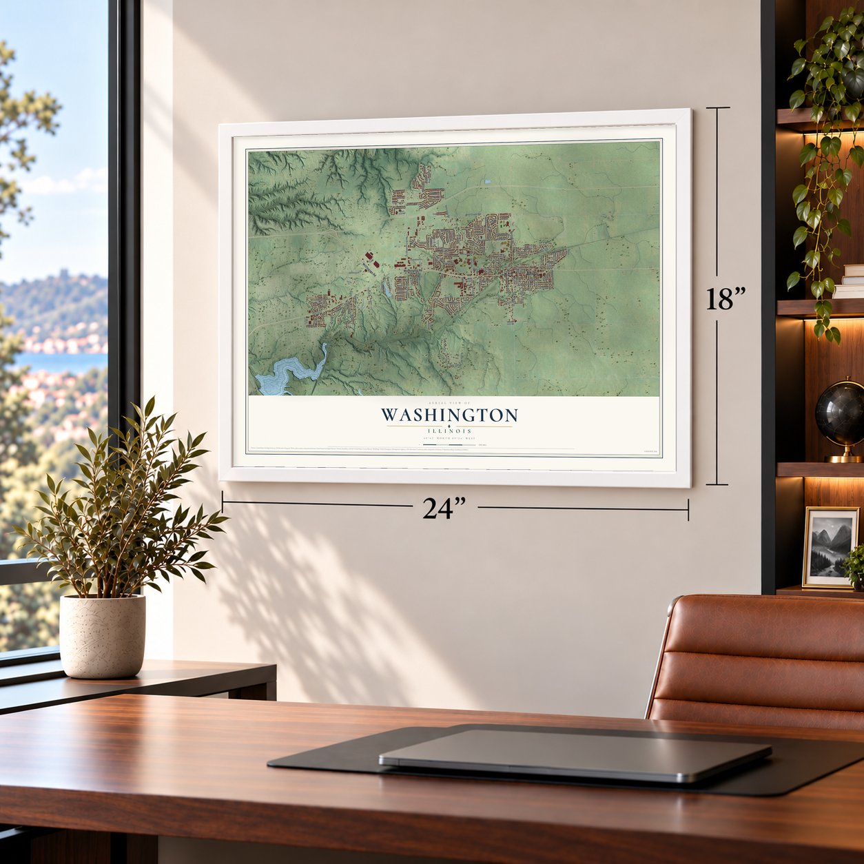
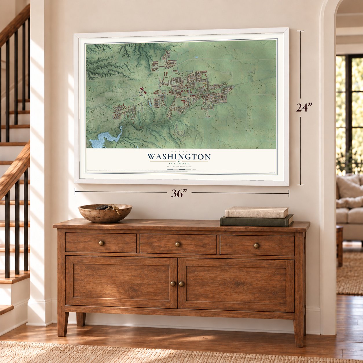
Unframed archival matte, a black wood frame or a white wood frame.
Up close
Geography Worth Displaying
This map was created using accurate cartographic data and authoritative geographic sources, including the U.S. Geological Survey and the Census Bureau. The map brings together terrain, waterways, roads, and building detail. The majority of the streets are labeled, houses are accurately depicted, and the topography is derived from government sources. Combining local data with carefully composed color and shading leads to this beautifully detailed Washington artwork for your wall.
Rather than simply showing street outlines, we’ve included as many of the street names as we could reasonably fit on the map while keeping their names legible. Zoom in on the high resolution preview to see exactly what’s on the map. We truly set out to create a statement piece for anyone who loves Washington. So whether it’s for you, or a gift for someone you love, we hope this map of Washington brings back fond memories.
Read the story behind this map of Washington, Illinois from 2026.

About Washington, Illinois
Washington is a city of 16,071 people in Tazewell County, just northeast of East Peoria. William Holland Sr., a blacksmith from North Carolina, settled here in 1825 after the U.S. government hired him to do smith work for the local Native Americans. The post office opened under the name Holland's Grove on February 12, 1833.
In 1834 Holland laid out the first town plat, the part east of Main Street, and Joseph Kelso Sr. put up the first building on it that same year. On September 13, 1837, the town took a new name to honor George Washington, the first president. Holland stayed and watched it grow, living until November 27, 1871, when he was ninety-one.
- Heyl Pony FarmIn the 1920s George Heyl made Washington famous for his pony farm, which shipped Shetland ponies to buyers all over the world. He raised purebred poultry as well. Heyl died suddenly in 1932, and his funeral was one of the largest the town ever held. Some of the farm's first barns still stand on North Main Street.
- German prisoners in 1943In 1943 the canning factory was short of workers just as the army needed K rations and canned food. Fifty German prisoners of war came from Camp Ellis in Fulton County on the old rail line down Wood Street, and trucks carried them to local farms for the pumpkin harvest. Residents could not talk to them, but Pastor Kammeyer of St. Mark's Lutheran Church, who spoke German, served as their minister.
- The 2013 tornadoOn November 17, 2013, an EF4 tornado crossed into Washington from the southwest. It tore the second floors off most of the seventeen buildings at the Georgetown Commons apartments and wrecked hundreds of homes before it left on the north side. Three people died, among them a U.S. Army veteran.
Find your street
Names on the Washington map
Every name below is printed on this map. Look for your street, your school, the park where you played, or the pond down the road.
Places and landmarks3
- Washington City Hall
- Beverly Manor
- Glendale Cemetery
Streets and roads153
- Peoria Street
- Washington Road
- Walnut Street
- McClugage Road
- South Market Street
- Wilmor Road
- West Jefferson Street
- North Main Street
- Kern Road
- Northridge Lane
- Legion Road
- West Cruger Road
- Kingsbury Road
- North Cummings Lane
- Lakeshore Drive
- Ernest Street
- Hillcrest Drive
- Westminster Drive
- South Main Street
- Gillman Avenue
- Devonshire Road
- East Holland Street
- School Street
- Hilldale Avenue
- Shell Bark Court
- Jadens Way
- South Cummings Lane
- Westgate Road
- Grandyle Drive
- South Elm Street
Show all 153 streets
- Pine Tree Drive
- Dallas Road
- Catherine Street
- Nofsinger Road
- Lincoln Street
- Eldridge Street
- Centennial Drive
- Peach Street
- Wagner Street
- Santa Fe Road
- Oak Ridge
- Lexington Drive
- North Street
- Miller Street
- Eagle Avenue
- Dogwood Drive
- Constitution
- Inglewood Drive
- Mackenzie Street
- Foster Road
- Knollcrest Drive
- Firethorn Drive
- Muller Road
- Knollaire Drive
- Patricia Street
- Kelsey Street
- Elgin Avenue
- Simon Street
- Anne Street
- Chestnut Lane
- Autumn Ridge Drive
- Agnes Street
- Willow Drive
- Zinser Place
- Spring Street
- Grant Street
- Aspen Drive
- Lynn Street
- Rustic Oak Drive
- Mc Ginley Street
- Calvin Drive
- Court Drive
- Sterling Street
- Coventry Drive
- Savile Lane
- Colt Drive
- Pintail Lane
- Pine Ridge Drive
- Hope Street
- Easy Street
- Deer Lane
- Drake Lane
- South Street
- Locust Street
- Victoria Drive
- Vine Street
- Esken
- Tyler
- North Wilmor Road
- Newcastle Road
- Glenn Street
- Linnhill Lane
- English Oak
- Legion Street
- Shellbark Court
- Wilshire Drive
- Wellington Drive
- Hampton Road
- Monroe Street
- South High Street
- Sonny Drive
- Stratford Drive
- Mallard Way
- Austin Avenue
- Chelsea Place
- Tottenham Court
- Belaire Drive
- Stoneridge
- Timber Rail Drive
- Valley Forge Drive
- Briar Lane
- Windsor Way
- Central Avenue
- Saint Clare Court
- Dieble Road
- West Guth Road
- Kara Court
- South Summit Drive
- East Adams Street
- Canterbury Drive
- Sycamore
- North Wood Street
- Evergreen Drive
- Brentwood Drive
- Freedom Parkway
- Fieldstone
- North High Street
- Redbud Drive
- Retriever Lane
- Oakwood Drive
- Vohland Street
- North Elm Street
- Candlewood
- East Cruger Road
- South Main
- Georgetown Road
- Debates Street
- Bayberry Drive
- Fayette Avenue
- South Lawndale Street
- South Cedar Street
- Mount Vernon Drive
- Brook Crest Drive
- Stephanie Court
- Terrace
- Briarcliff Drive
- Charlotte Street
- Morris Street
- Ridge Street
- Dixon Street
- Trail End
- Brief Street
- Fox Trail
Names are listed as they appear on the printed map. Zoom into the product photos to find them.
The art of mapping a place
How This Map Was Made
Real places. Remarkable detail. Discover the layers that turn geographic data into a map of home.

The view from above
Aerial imagery reveals the character of the land: woodland, open fields, and the patterns of a place.

The shape of the land
Elevation data brings hills, valleys, and subtle changes in the landscape into view.

The details of home
Roads, waterways, and building footprints come together to make the map feel unmistakably local.

Geography becomes art
Considered color, shading, and typography bring the layers together in a map made for your wall.


Process illustrated with Mendon, Massachusetts. Aerial imagery: USDA NAIP. Terrain: USGS 3D Elevation Program. Map details and finished artwork: KNOWOL.
The Details
About This Print
Choose an archival matte print, or a black or white Ayous wood frame. The archival matte print is unframed.
Select your size and finish above to see the matching product image and price.
Materials & Craftsmanship
A contemporary map with the character of a classic atlas, printed on archival matte paper. Optional frames are made from Ayous wood.
Your printed map does not include the watermark shown in the full-map preview.
Shipping & Delivery
Free shipping within the United States. Every print is made to order in the USA.
Buying a gift? Add a note in your cart and we'll include it. We never put prices in the package.
Prints ship within 2 to 3 business days. Allow 7 to 10 days total from ordering for delivery. Timing may vary during holidays or periods of high order volume.
Read our shipping policy.
Returns and damaged prints
Each print is made to order. Change-of-mind refunds are not available after production.
If your print arrives damaged, misprinted or incorrect, contact support@knowol.com within 30 days of receiving it. Include your order number, photos and a description of the issue.
Read our full refund and replacement policy. For questions about your order, email support@knowol.com.
Find your town
Looking for another city?
Find a map of home in our Illinois collection, or any town in the country.
Nearby
Maps of towns near Washington
Know someone from one of these towns? Their map makes a great gift.
 Germantown Hills
, Illinois
From $39.99See the map
 East Peoria
, Illinois
From $39.99See the map
 Morton
, Illinois
From $39.99See the map
More maps nearby: Metamora, Deer Creek, Peoria Heights, Eureka and Bay View Gardens.