
Search for another town
Free U.S. delivery 7 to 10 days after you order
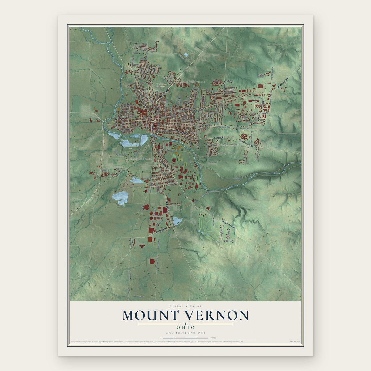
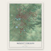
Mount Vernon, Ohio Map Art
Building by building, with labeled streets and shaded relief.
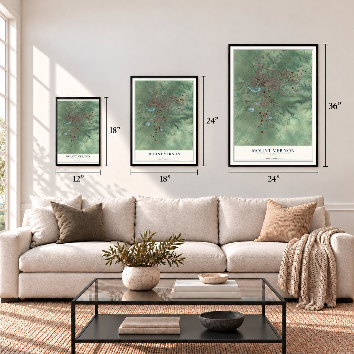
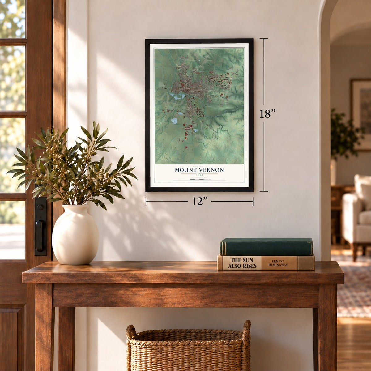
12" x 18" Archival Matte Print
A Map of Home. A Work of Art.
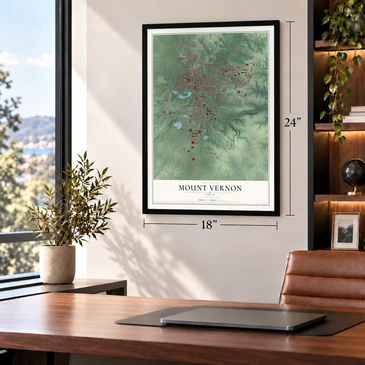
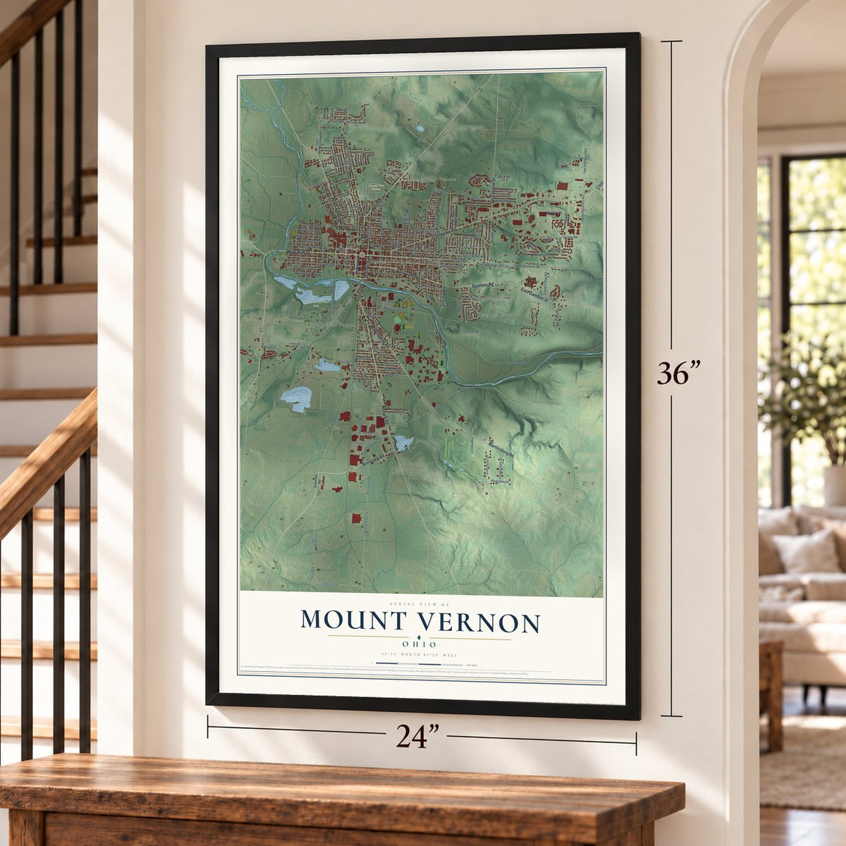
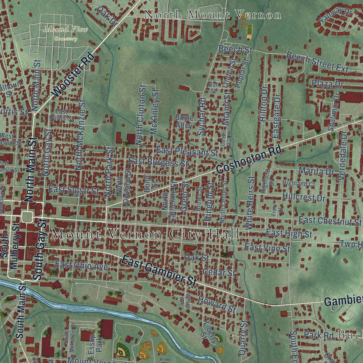
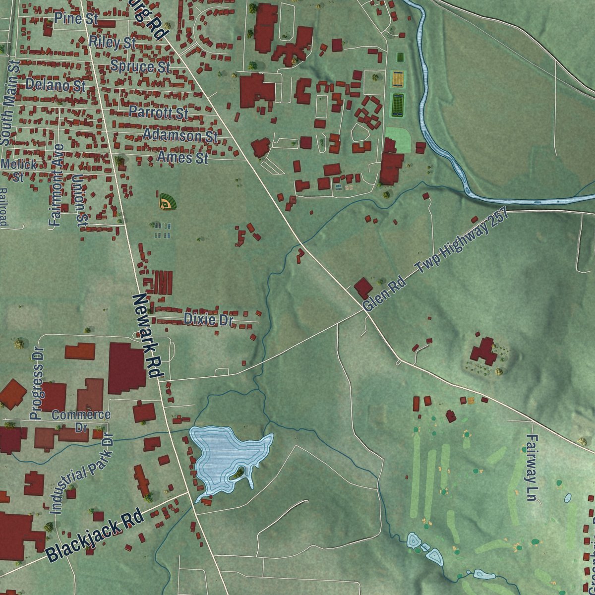
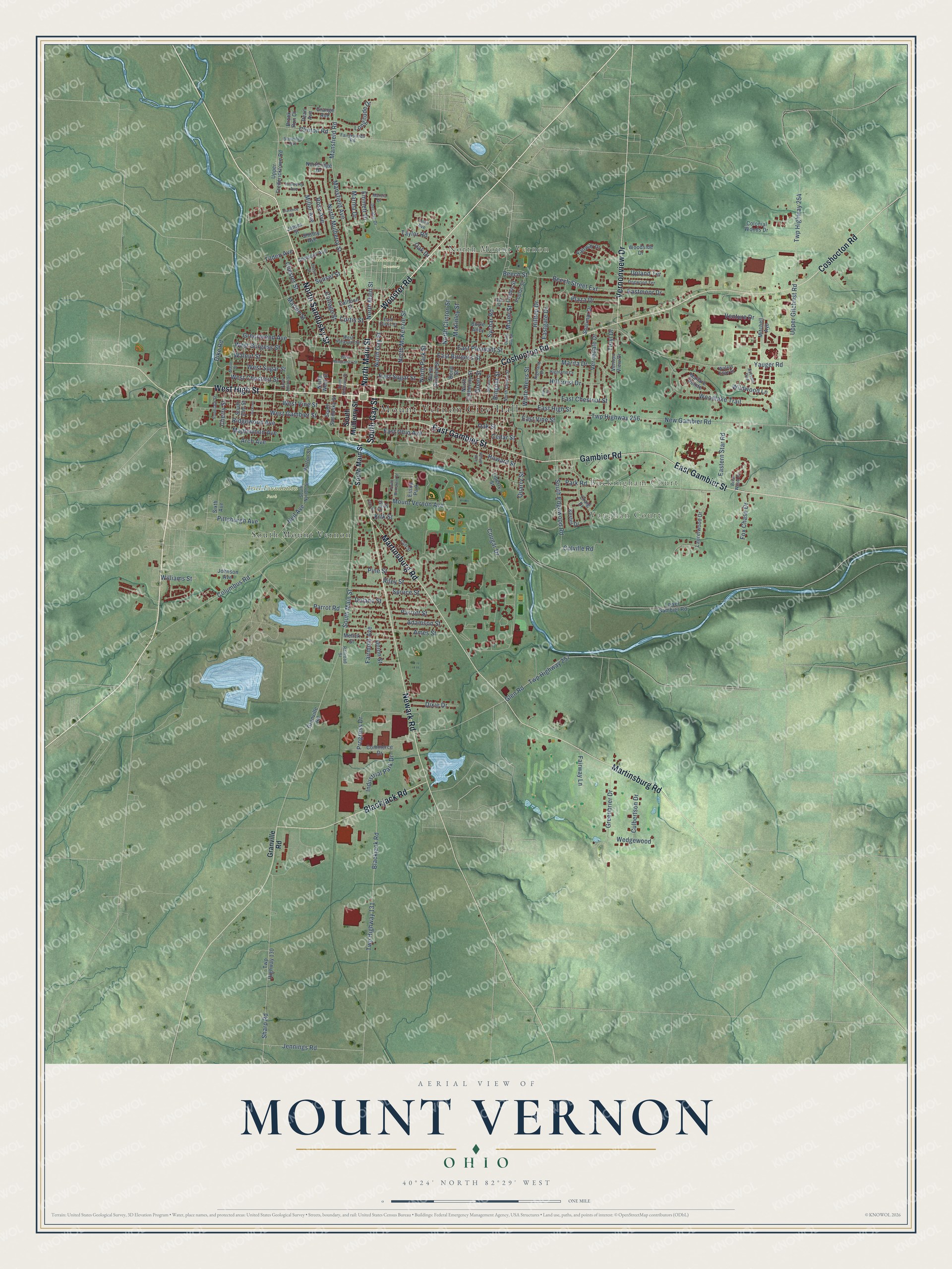
Explore Mount Vernon, Ohio from a whole new perspective. Created using aerial imagery and detailed geographic data, this map captures Mount Vernon building by building, with labeled streets, familiar landmarks, and shaded topographical relief that highlights the natural contours of the landscape.
Combining modern data with the timeless character of a vintage atlas, this map is just as interesting up close as it is beautiful on the wall. Whether you grew up in Mount Vernon, spent memorable years there, or call it home today, this unique map is a great way to celebrate a place that means something to you. Zoom in on the preview to look for your street, and then order a print to put your memories on the wall.
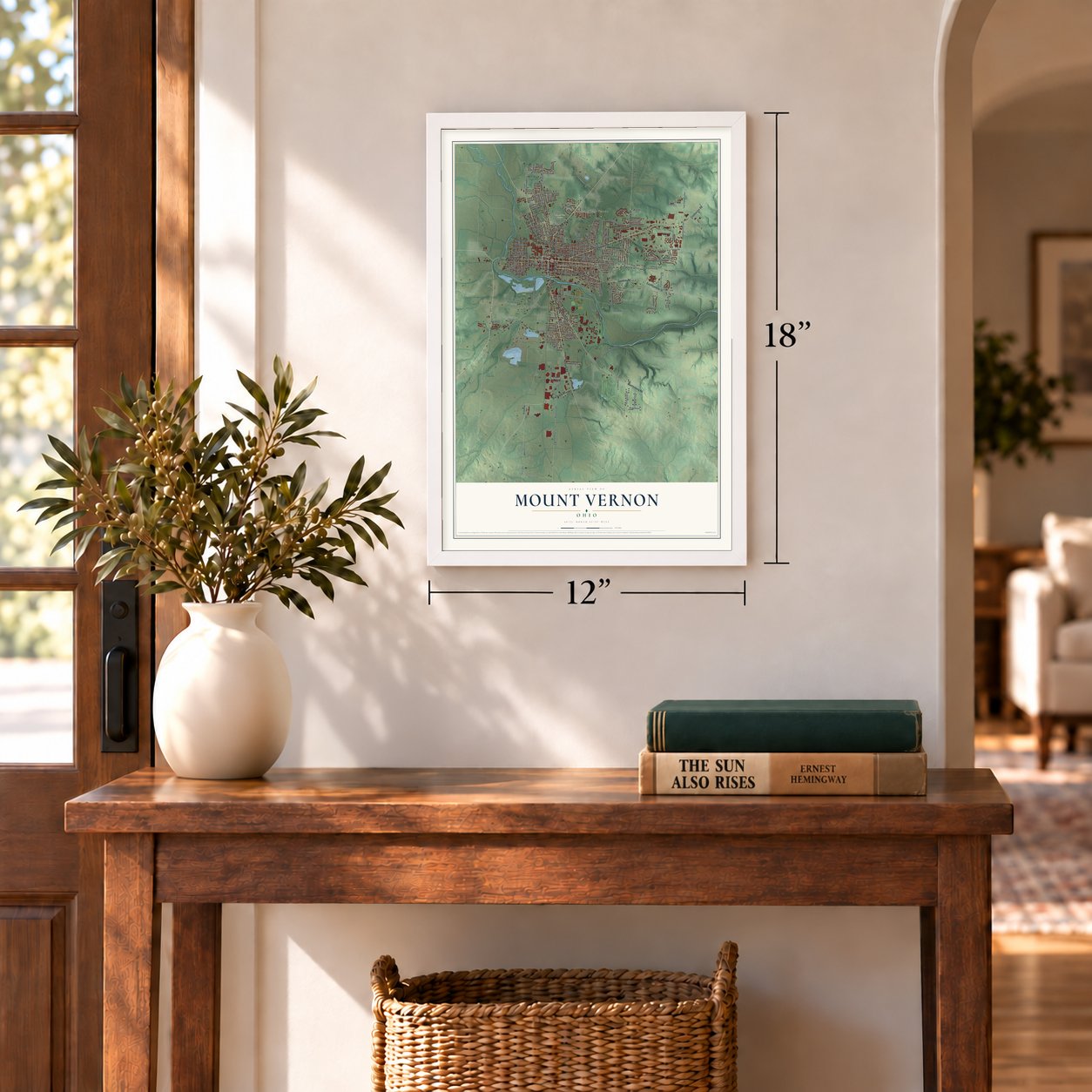
Three ways to hang it
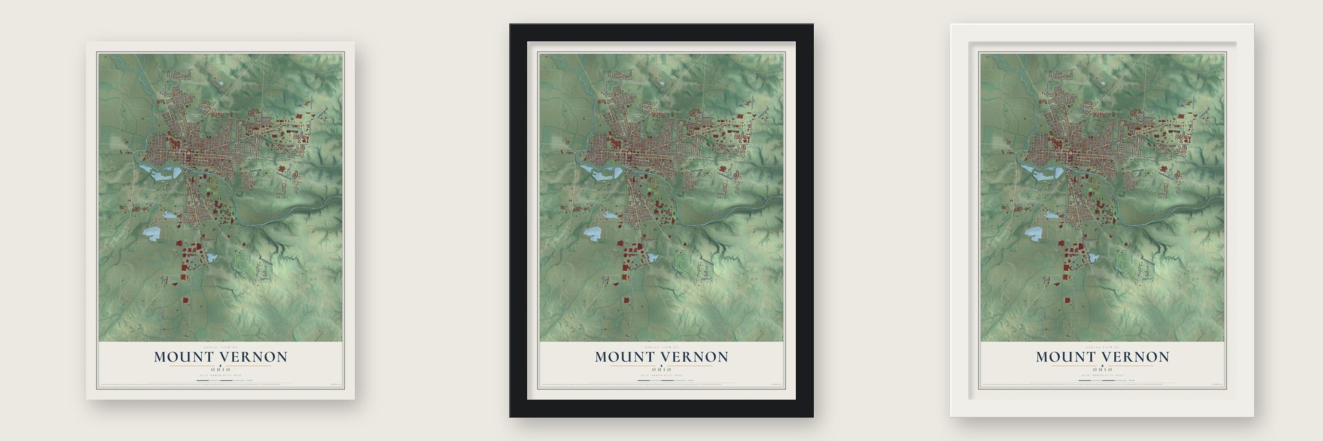
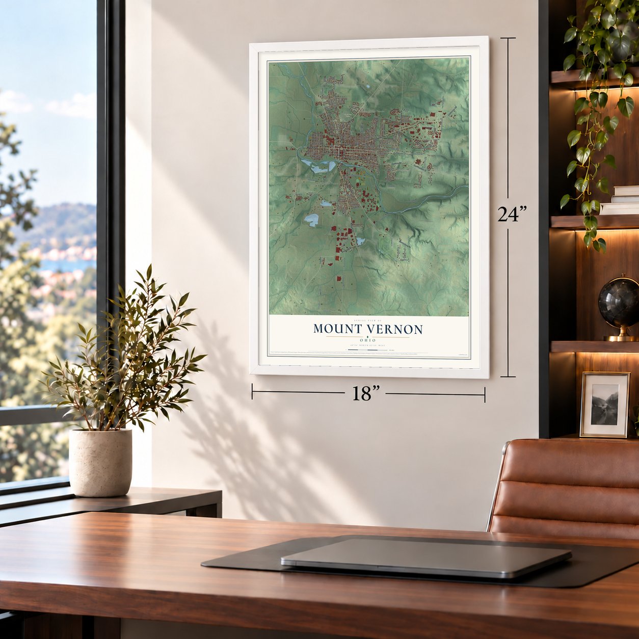
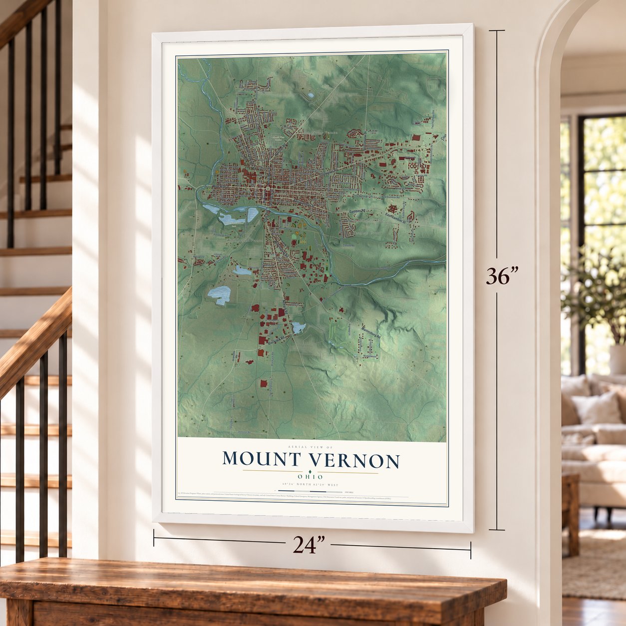
Unframed archival matte, a black wood frame or a white wood frame.
Up close
Geography Worth Displaying
This map was created using accurate cartographic data and authoritative geographic sources, including the U.S. Geological Survey and the Census Bureau. The map brings together terrain, waterways, roads, and building detail. The majority of the streets are labeled, houses are accurately depicted, and the topography is derived from government sources. Combining local data with carefully composed color and shading leads to this beautifully detailed Mount Vernon artwork for your wall.
Rather than simply showing street outlines, we’ve included as many of the street names as we could reasonably fit on the map while keeping their names legible. Zoom in on the high resolution preview to see exactly what’s on the map. We truly set out to create a statement piece for anyone who loves Mount Vernon. So whether it’s for you, or a gift for someone you love, we hope this map of Mount Vernon brings back fond memories.
Read the story behind this map of Mount Vernon, Ohio from 2026.
Find your street
Names on the Mount Vernon map
Every name below is printed on this map. Look for your street, your school, the park where you played, or the pond down the road.
Places and landmarks8
- Mount Vernon City Hall
- North Mount Vernon
- Buckingham Court
- Vaughan Court
- Ariel-Foundation Park
- Mound View Cemetery
- South Mount Vernon
- Essup Park
Streets and roads188
- West High Street
- Wooster Road
- South Gay Street
- North Sandusky Street
- Coshocton Road
- East Gambier Street
- Gambier Road
- Martinsburg Road
- Newark Road
- Blackjack Road
- Vernonview Drive
- North Main Street
- East High Street
- North Gay Street
- Mansfield Avenue
- Mansfield Road
- North Park Street
- West Burgess Street
- Greenwood Avenue
- Beech Street Extension
- Tilden Avenue
- Cherry Street
- East Chestnut Street
- North Mulberry Street
- South Main Street
- New Gambier Road
- Twp Highway 256
- Mount Vernon Avenue
- Upper Gilchrist Road
- East Vine Street
Show all 188 streets
- Yauger Road
- Woodlake Trail
- Twp Highway 131
- West Gambier Street
- Howard Street
- West Vine Street
- Glen Road
- Twp Highway 257
- East Pleasant Street
- East Burgess Street
- Sychar Road
- South Edgewood Road
- Beech Street
- North McKenzie Street
- West Sugar Street
- Ames Street
- West Chestnut Street
- Sharp Road
- Columbus Road
- Park Road
- Twp Highway 254
- North Clinton Street
- Parrot Road
- Adamson Street
- Parrott Street
- Teryl Drive
- Oak Street
- Progress Drive
- Pittsburgh Avenue
- Delano Street
- East Ohio Avenue
- Venture Drive
- Spruce Street
- Hillcrest Drive
- Taylor Road
- Hilltop Drive
- Marita Drive
- Vernedale Drive
- Greenbrier Drive
- Cougar Drive
- Marion Street
- Industrial Park Drive
- Ridgewood Avenue
- Cottage Street
- White Heirs Street
- Dike Road
- Eastern Star Road
- Maplewood Avenue
- Longitude Drive
- Pine Street
- Chester Street
- Quarry Street
- East Sugar Street
- Miller Avenue
- Fairmont Avenue
- Walnut Street
- Jennings Road
- Rose Avenue
- Dixie Drive
- Fox Chase Drive
- Sunset Street
- Curtis Street
- Clinton Road
- Plaza Drive
- Eastmoor Drive
- Culbertson Drive
- Cedar Street
- Wedgewood
- McKinley Street
- Kirk Street
- Ringold Street
- Upland Terrace
- Eastgate Drive
- Wildwood Lane
- Neil Avenue
- Arch Avenue
- Riley Street
- Colville Road
- Greer Street
- Fairway Lane
- Marma Drive
- Williams Street
- Emmett Drive
- Miami Street
- Union Street
- Oak Drive
- South Mulberry Street
- Granville Road
- South Sandusky Street
- North West Street
- Norton Street
- Twp Highway 130
- Fairway Drive
- Commerce Drive
- North Catherine Street
- Colonial Woods Drive
- Laurelwood Drive
- Mallare Pointe
- North Division Street
- Upper Fredericktown Road
- Belmont Avenue
- South Elm Street
- Vernon View Drive
- Melick Street
- Kester Drive
- Mitchell Avenue
- Liberty Street
- James Street
- Calhoun Street
- Johnson Avenue
- East Street
- Shalimar Drive
- Poplar Street
- Lower Gambier Road
- Craig Drive
- Woodside Drive
- Bond Street
- Linden Street
- Pearl Avenue
- Grange Avenue
- Northridge Drive
- Shirley Avenue
- Boyle Alley
- Sixth Avenue
- Brook Run Court
- West Pleasant Street
- Cliff Street
- South Norton Street
- North Center Street
- Highland Drive
- Follin Avenue
- Autumn Run
- Briar Wood Drive
- Brown Street
- Fairgrounds Road
- Dogwood Terrace
- Snowden Avenue
- Fountain Street
- Kimberly Avenue
- Waters Edge Drive
- Highland Court
- Decatur Drive
- East Curtis Street
- Ash Street
- Railroad Street
- Marcia Drive
- South McKenzie Street
- Jackson
- Maple Street
- West Hamtramck Street
- North Adams Street
- Cassil Street
- Wilson Avenue
- North Mechanic Street
- Center Run Street
- Clarence Court
- Clay Street
- Frary Court
Names are listed as they appear on the printed map. Zoom into the product photos to find them.
About Mount Vernon, Ohio
Mount Vernon is a city of 16,956 people and the seat of Knox County, on the Kokosing River about 40 miles northeast of Columbus. The town was platted in 1805 and took its name from Mount Vernon, George Washington's estate.
The city came through two hard blows a few years apart. In May 1953 a fire destroyed the telephone exchange that served all of Mount Vernon, and calls were disrupted for months. Then in January 1959 a severe flood forced the evacuation of 500 homes and caused $5 million in damage.
- A woman doctor from 1861Jane Payne's family came from Bristol, England, in 1825, and her father, an Episcopal priest, settled in Mount Vernon. Despite poor eyesight and lasting health problems, she studied medicine with Dr. John W. Russell in town, and in 1861 she finished at the top of the graduating group at Pennsylvania's Woman's Medical College. Many people distrusted women doctors, but she practiced from her office at South Main and West Gambier streets until she died in 1882.
- The Woodward Opera HouseDowntown's Woodward Opera House joined the National Register in 1975, and no older opera theater of this type stands anywhere in the country. After years of restoration, the old hall became the town's center for culture and the performing arts.
- Where Cooper Industries beganCooper Industries got its start in Mount Vernon, and its big plant on the west side built and repaired equipment for gas and oil power generation. Rolls-Royce North America later owned the plant, and Siemens bought it in 2014. Facing a shrinking market, Siemens cut jobs in 2016 and announced in 2018 that the plant would close by 2019. Jim Buchwald, once a Cooper engineer, helped found Ariel Corporation, which builds natural gas compressors in Mount Vernon.
Keep exploring Ohio
Mount Vernon is one of 1,389 Ohio towns we've mapped. Every dot on the map is a print of its own.
The search covers every state, Ohio first.
Near Mount Vernon
Order 2 or more town maps and save 10%. Shown in the size and finish you picked above, so they hang as a set.
- South Mount Vernon 12" x 18" / Archival Matte Print $39.99
- Gambier 12" x 18" / Archival Matte Print $39.99
- Fredericktown 12" x 18" / Archival Matte Print $39.99
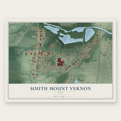
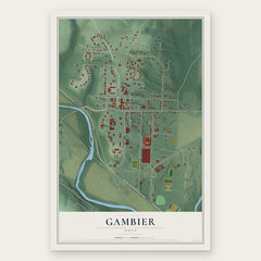
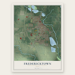
More maps nearby: Apple Valley, Howard, Martinsburg, Utica and Sparta.
The art of mapping a place
How This Map Was Made
Real places. Remarkable detail. Discover the layers that turn geographic data into a map of home.

The view from above
Aerial imagery reveals the character of the land: woodland, open fields, and the patterns of a place.

The shape of the land
Elevation data brings hills, valleys, and subtle changes in the landscape into view.

The details of home
Roads, waterways, and building footprints come together to make the map feel unmistakably local.

Geography becomes art
Considered color, shading, and typography bring the layers together in a map made for your wall.


Process illustrated with Mendon, Massachusetts. Aerial imagery: USDA NAIP. Terrain: USGS 3D Elevation Program. Map details and finished artwork: KNOWOL.
The Details
About This Print
Choose an archival matte print, or a black or white Ayous wood frame. The archival matte print is unframed.
Select your size and finish above to see the matching product image and price.
Materials & Craftsmanship
A contemporary map with the character of a classic atlas, printed on archival matte paper. Optional frames are made from Ayous wood.
Your printed map does not include the watermark shown in the full-map preview.
Shipping & Delivery
Free shipping within the United States. Every print is made to order in the USA.
Buying a gift? Add a note in your cart and we'll include it. We never put prices in the package.
Prints ship within 2 to 3 business days. Allow 7 to 10 days total from ordering for delivery. Timing may vary during holidays or periods of high order volume.
Read our shipping policy.
Returns and damaged prints
Each print is made to order. Change-of-mind refunds are not available after production.
If your print arrives damaged, misprinted or incorrect, contact support@knowol.com within 30 days of receiving it. Include your order number, photos and a description of the issue.
Read our full refund and replacement policy. For questions about your order, email support@knowol.com.