
Search for another town
Free U.S. delivery 7 to 10 days after you order
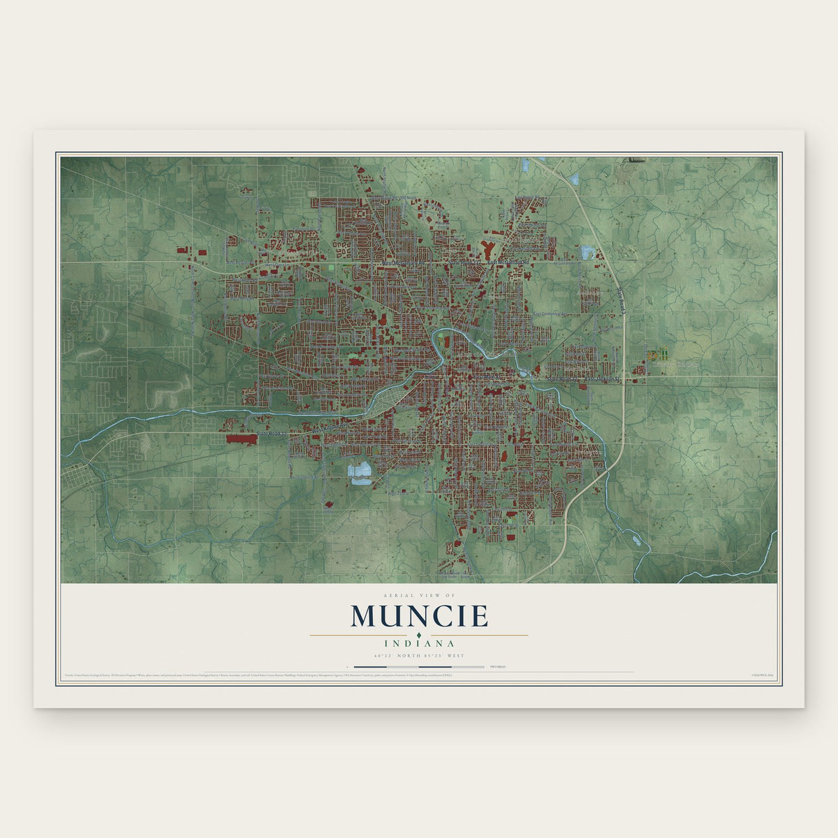
Muncie, Indiana Map Art
Building by building, with labeled streets and shaded relief.
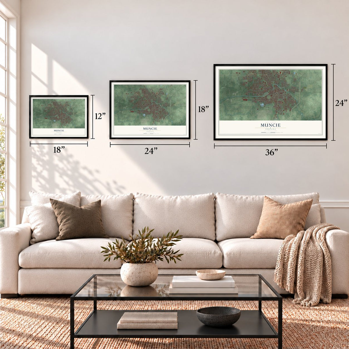
12" x 18" Archival Matte Print
A Map of Home. A Work of Art.
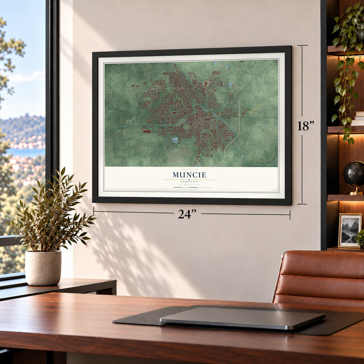
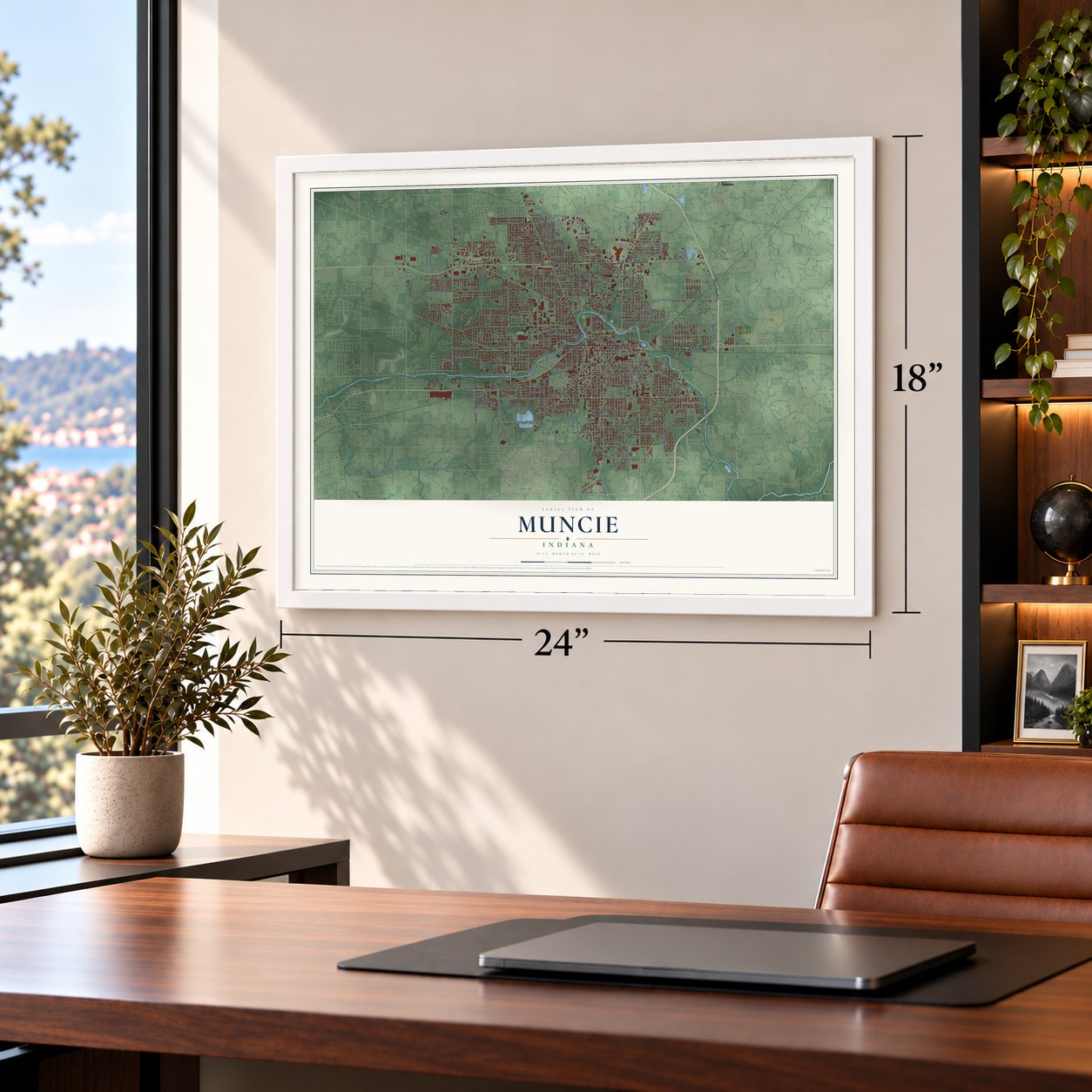
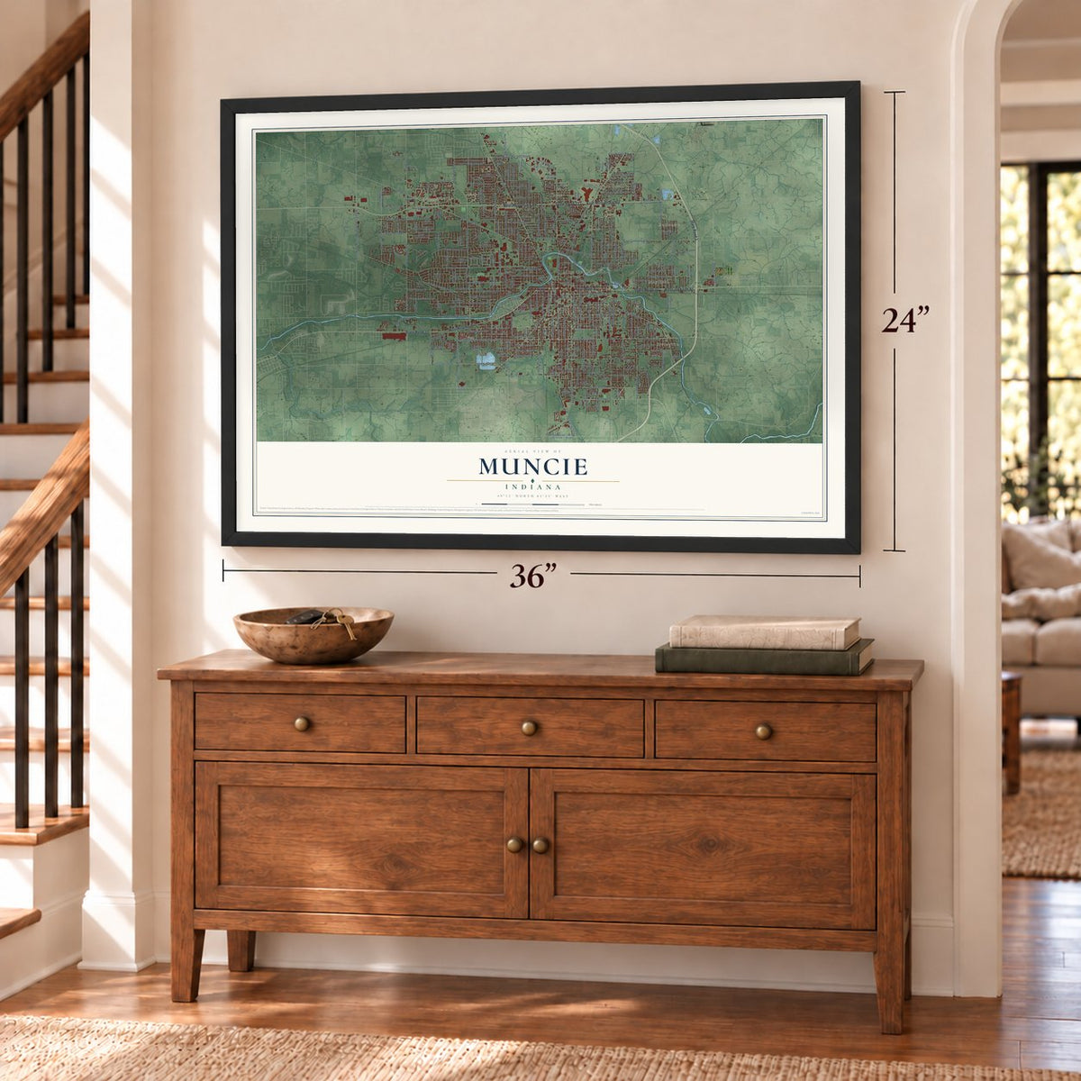
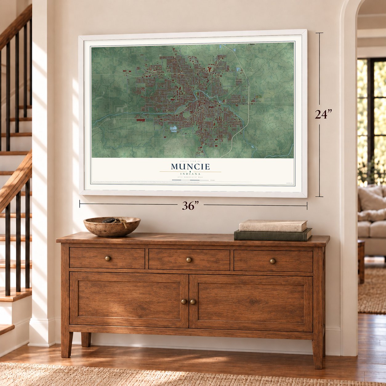
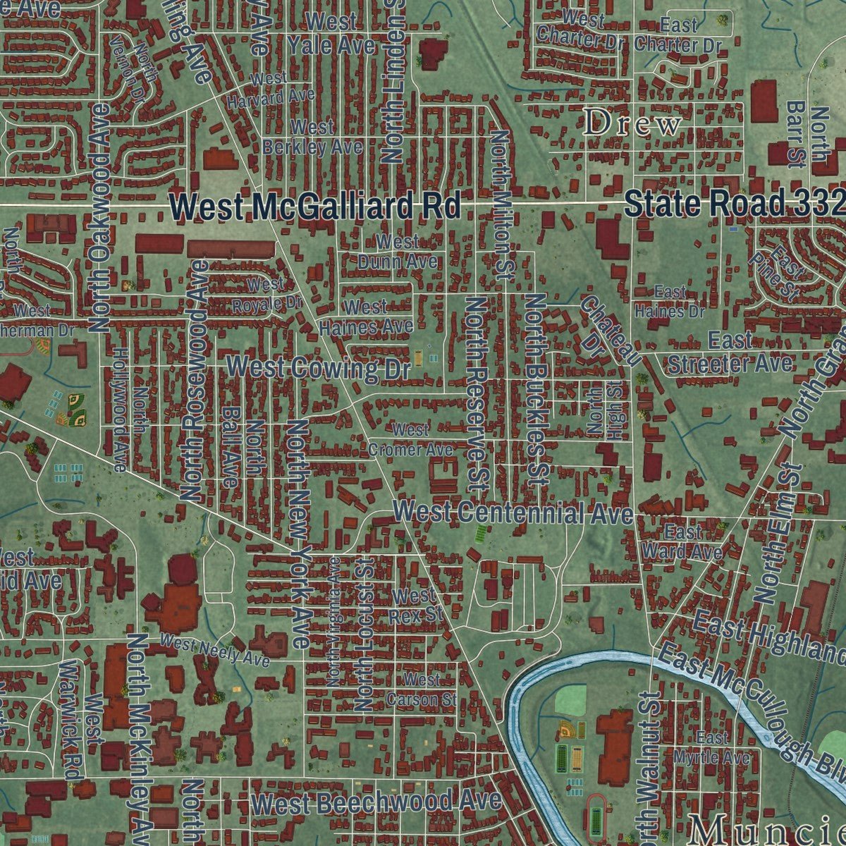
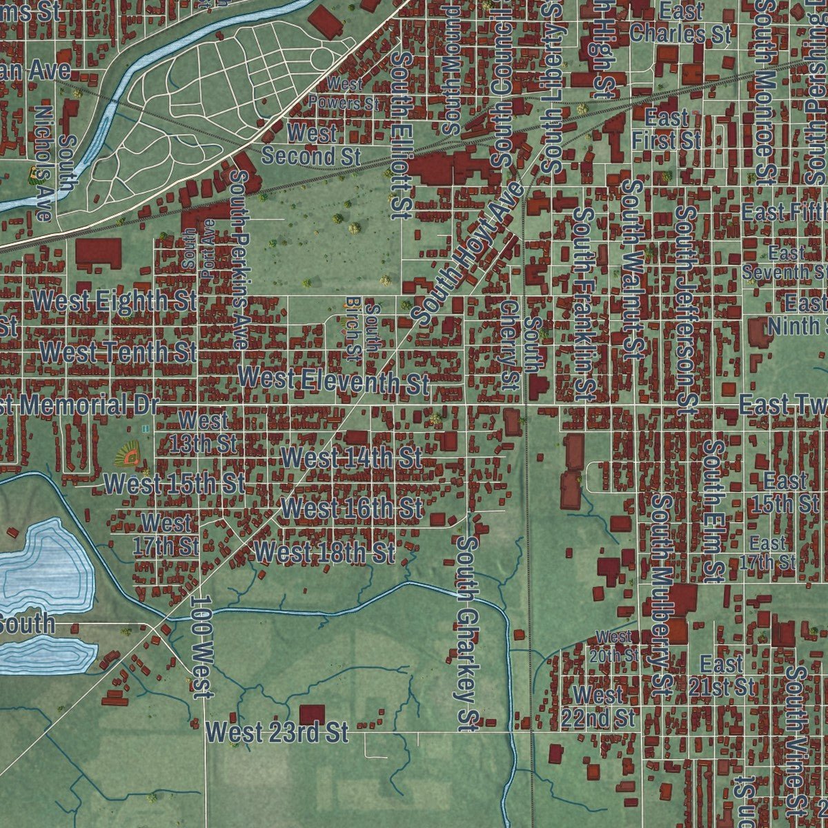
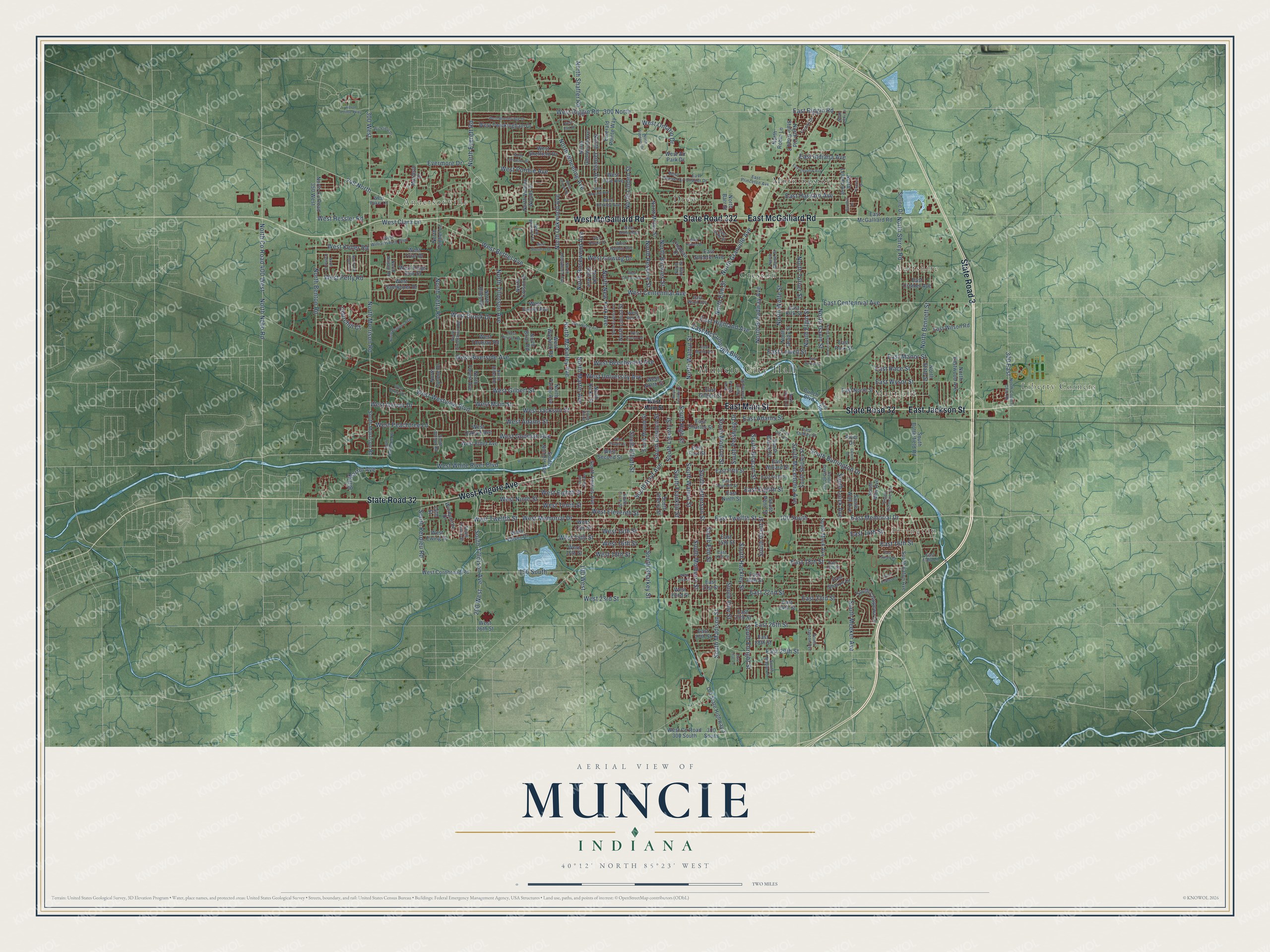
Explore Muncie, Indiana from a whole new perspective. Created using aerial imagery and detailed geographic data, this map captures Muncie building by building, with labeled streets, familiar landmarks, and shaded topographical relief that highlights the natural contours of the landscape.
Combining modern data with the timeless character of a vintage atlas, this map is just as interesting up close as it is beautiful on the wall. Whether you grew up in Muncie, spent memorable years there, or call it home today, this unique map is a great way to celebrate a place that means something to you. Zoom in on the preview to look for your street, and then order a print to put your memories on the wall.
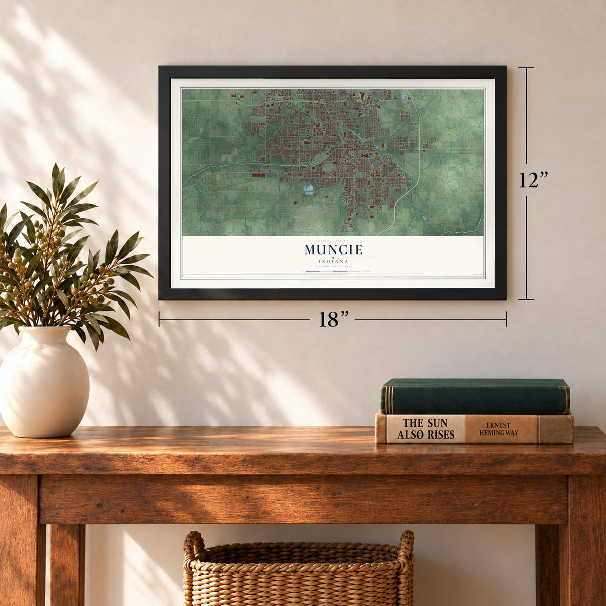
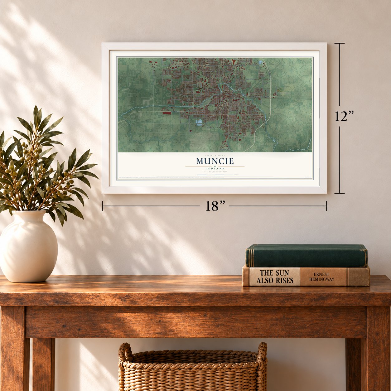
Three ways to hang it
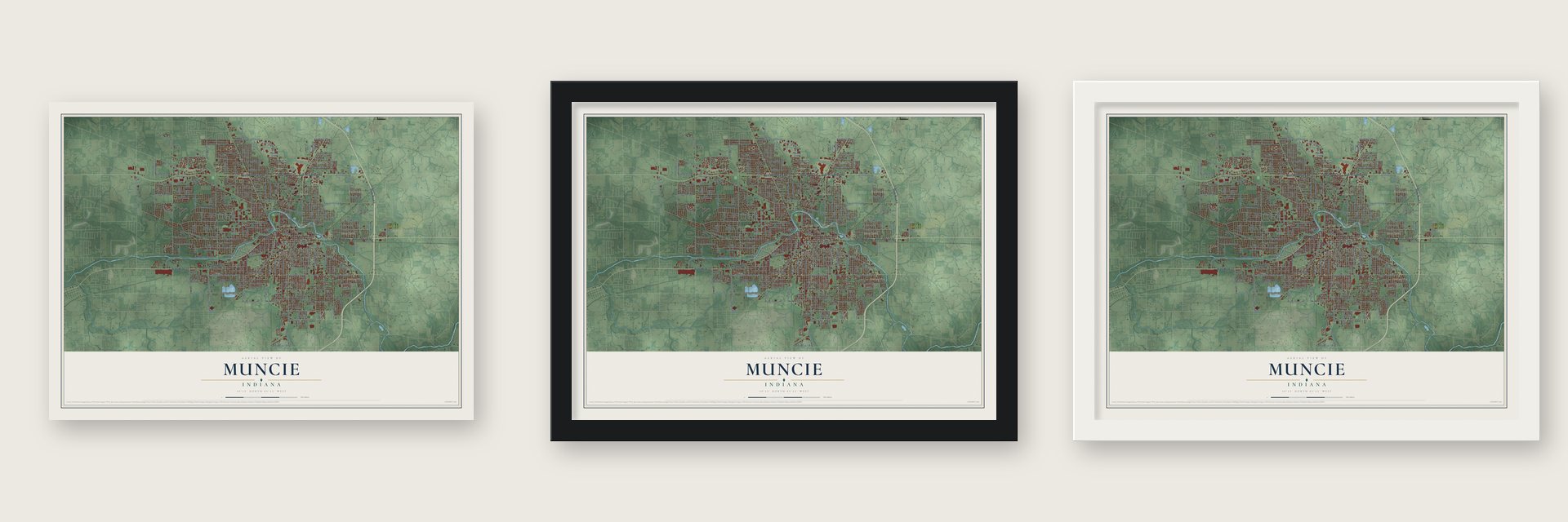
Unframed archival matte, a black wood frame or a white wood frame.
Up close
Geography Worth Displaying
This map was created using accurate cartographic data and authoritative geographic sources, including the U.S. Geological Survey and the Census Bureau. The map brings together terrain, waterways, roads, and building detail. The majority of the streets are labeled, houses are accurately depicted, and the topography is derived from government sources. Combining local data with carefully composed color and shading leads to this beautifully detailed Muncie artwork for your wall.
Rather than simply showing street outlines, we’ve included as many of the street names as we could reasonably fit on the map while keeping their names legible. Zoom in on the high resolution preview to see exactly what’s on the map. We truly set out to create a statement piece for anyone who loves Muncie. So whether it’s for you, or a gift for someone you love, we hope this map of Muncie brings back fond memories.
Read the story behind this map of Muncie, Indiana from 2026.
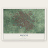
Find your street
Names on the Muncie map
Every name below is printed on this map. Look for your street, your school, the park where you played, or the pond down the road.
Places and landmarks9
- Muncie City Hall
- Andersonville
- Liberty Corners
- Irvington
- Aultshire
- Creston
- Drew
- Mayfield
- Morningside
Streets and roads289
- East Main Street
- State Road 32
- West Kilgore Avenue
- State Road 332
- West McGalliard Road
- East Jackson Street
- East McGalliard Road
- State Road 3
- South Walnut Street
- West Bethel Avenue
- West 14th Street
- West Garver Drive
- 249 North
- West Eleventh Street
- North Broadway Avenue
- South Franklin Street
- 100 South
- North Wheeling Avenue
- West Jackson Street
- 300 North
- 300 West
- South Madison Street
- West White River Boulevard
- North Tillotson Avenue
- North Morrison Road
- West University Avenue
- North Walnut Street
- East Centennial Avenue
- West Eighth Street
- West Riverside Avenue
Show all 289 streets
- West Petty Road
- East Memorial Drive
- East Twelfth Street
- West Gilbert Street
- South Macedonia Avenue
- South Burlington Drive
- West Riggin Road
- South Jefferson Street
- South Hackley Street
- West Memorial Drive
- West Twelfth Street
- South Elm Street
- South Grant Street
- North New York Avenue
- South Mulberry Street
- South Monroe Street
- West Ninth Street
- South Tillotson Avenue
- South Meeker Avenue
- East Eighth Street
- East 29th Street
- South Beacon Street
- East 26th Street
- South Vine Street
- East 16th Street
- South Pershing Drive
- South Hoyt Avenue
- West Tenth Street
- North Elgin Street
- 150 South
- East Highland Avenue
- South Ebright Street
- East Riggin Road
- North Linden Street
- North Elm Street
- East 18th Street
- East 14th Street
- North Granville Avenue
- North Benton Road
- North Reserve Street
- West Purdue Avenue
- East 23rd Street
- South Gharkey Street
- North Rosewood Avenue
- North County Road 400 West
- North Nebo Road
- East 22nd Street
- North McKinley Avenue
- West Main Street
- North Janney Avenue
- North Everett Road
- South High Street
- East Wysor Street
- South Liberty Street
- West Godman Avenue
- North Wolfe Street
- 200 West
- North Oakwood Avenue
- South Elliott Street
- East Manor Street
- West Adams Street
- West Beechwood Avenue
- West 15th Street
- North Gavin Street
- North Turner Street
- West 23rd Street
- East Adams Street
- North Bennett Street
- East Harvard Avenue
- West Brook Drive
- North Shirey Road
- South Luick Avenue
- West Peachtree Lane
- East McCullough Boulevard
- West Centennial Avenue
- West 16th Street
- West Westview Boulevard
- West Cowing Drive
- West Clara Lane
- South Perdieu Road
- South Council Street
- West 18th Street
- East Race Street
- North Petty Road
- East Lowell Street
- North Buckles Street
- West Hessler Road
- West Ontario Drive
- Evermore Drive
- West Keller Road
- North Shaffer Road
- Bill Martin Avenue
- Churchill Court
- 300 East
- East Indiana Avenue
- North Martin Avenue
- 100 West
- South Morrison Road
- East Willard Street
- West Cornbread Road
- North County Road 350 West
- South Penn Street
- West North Street
- North Brady Street
- North Locust Street
- East Gilbert Street
- East Ninth Street
- East 21st Street
- South Mock Avenue
- South Blaine Street
- North Glenwood Avenue
- East 24th Street
- East Fifth Street
- East 15th Street
- North Riley Road
- East Streeter Avenue
- East First Street
- West 13th Street
- North Leland Avenue
- North Milton Street
- East 20th Street
- Bunch Boulevard
- North Ball Avenue
- South Perkins Avenue
- West Ethel Avenue
- West Sheffield Drive
- North Forest Avenue
- South Eaton Avenue
- South May Avenue
- East North Street
- South Nichols Avenue
- West Twickingham Drive
- West 17th Street
- East Charles Street
- East 25th Street
- West Euclid Avenue
- South Mound Street
- North Tyrone Drive
- East Cromer Avenue
- South Shipley Street
- East Kirk Street
- West Yale Avenue
- South Wall Avenue
- East Park Street
- Marleon Drive
- West Warwick Road
- West Second Street
- North Old State Road 3
- South Chippewa Lane
- West Torquay Road
- East 27th Street
- South Butterfield Road
- North Barr Street
- Old State Highway 3
- East Wilson Road
- North Briar Road
- North Dicks Street
- South Cherry Street
- North Eastwood Avenue
- West Oliver Drive
- West Oaklyn Avenue
- East 28th Street
- North Colson Drive
- North Robin Lane
- Windpointe Drive
- North State Street
- West County Road 300 South
- North Vienna Woods Drive
- West Sandpiper Drive
- Emerald Pointe Way
- West Air Park Drive
- Chateau Drive
- West Kings Row Street
- West Friar Drive
- East Sharon Drive
- River Drive
- North Talley Avenue
- Shrine Drive
- North Timber Lane
- West Ewing Drive
- 300 South
- West 26th Street
- West 22nd Street
- 14th Street
- East Charter Drive
- East Princeton Avenue
- East Seventh Street
- North Alden Road
- East Sixth Street
- North Greenbriar Road
- East 17th Street
- West Berkley Avenue
- North Blaine Street
- South Birch Street
- South Biltmore Avenue
- North Hollywood Avenue
- North Country Club Road
- West Haines Avenue
- West Rex Street
- North Allison Road
- North High Street
- West Dunn Avenue
- West Williamsburg Boulevard
- South Willow Road
- North Winston Drive
- East 19th Street
- North Hackley Street
- South Oakland Avenue
- Forest Drive
- South Dayton Avenue
- West Charter Drive
- South Maple Lane
- East Dudley Street
- East Pine Street
- South Haney Street
- East Ward Avenue
- West Baker Lane
- East Tulip Lane
- Ball Road
- North Franklin Street
- North Bellaire Avenue
- West Harvard Avenue
- South Port Avenue
- West Neely Avenue
- West Cromer Avenue
- West Woodbridge Drive
- West Powers Street
- North Virginia Avenue
- West Berwyn Road
- East Depauw Avenue
- North Lancaster Drive
- South Hawthorne Road
- North Superior Drive
- West Royale Drive
- South Ohio Avenue
- Heron Pointe Parkway
- East Tanner Drive
- North Regency Parkway
- West Burton Drive
- West Carson Street
- North Vernon Drive
- East Carver Drive
- West Sherman Drive
- Wickfield Drive
- East Myrtle Avenue
- Center Drive
- North Vine Street
- East Haines Drive
- North Halifax Drive
- North Old Towne Lane
- South Dill Street
- Barnhill Lane
- North Lincoln Street
- East Esther Lane
- North Vicki Lane
- Harvest Drive
- East Lilac Lane
- West 20th Street
- West Earl Drive
Names are listed as they appear on the printed map. Zoom into the product photos to find them.
About Muncie, Indiana
Muncie is a city of 65,194 people and the county seat of Delaware County, on the White River in East Central Indiana. Lenape people, pushed west from their homelands in the Mid-Atlantic, came here in the 1790s and built villages along the river, among them Munsee Town. In the 1818 Treaty of St. Mary's the tribes gave up this land and agreed to leave by 1821, and new settlers began to arrive around 1820. The trading village, now called Muncietown, became the county seat and was platted in 1827.
On January 13, 1845, the governor signed a law that cut the name down to Muncie. The Indianapolis and Bellefontaine Railroad reached the town in 1852, so local farmers could ship their crops to bigger markets. Muncie became a town on December 6, 1854, and a city in 1865, with John Brady as its first mayor. It stayed a trading center for farmers until natural gas was found nearby in 1886.
- Ball glass from 1888The Ball brothers wanted a plant close to plenty of natural gas, so they built a glass factory in Muncie. It began making glass on March 1, 1888, and the company brought its metal works here in 1889. Renamed Ball Corporation in 1969, it closed its Muncie glass plants in 1962 and moved its headquarters to Broomfield, Colorado, in 1998.
- 11,000 steel and wire workersThe gas boom also brought iron and steel mills to town. In 1900 the biggest employer in all of Indiana was Kitselman Steel & Wire Company, with 11,000 workers. When the gas ran low around 1910, railroads and new auto plants kept Muncie an industrial city.
- The Ball brothers' collegeEastern Indiana Normal School opened in 1899 but closed after two years. The Ball brothers bought the empty campus and gave it to the State of Indiana, and a state teachers school opened there in 1918. The school took the name Ball Teachers College in 1922. In 1929 it became Ball State Teachers College, and in 1965 Ball State University.
- America's MiddletownSociologists Robert and Helen Lynd brought a research team to Muncie in the 1920s to study it as a typical American city, which they called by the made-up name Middletown. Their book came out in 1929, and they returned during the Depression for a second book in 1937. Later studies followed, and by some accounts few cities of its size in the country have been studied more.
- A Carnegie library from 1904The Muncie Public Library, built with Carnegie money, was dedicated on January 1, 1904, and joined the National Register in 1976.
Keep exploring Indiana
Muncie is one of 1,023 Indiana towns we've mapped. Every dot on the map is a print of its own.
The search covers every state, Indiana first.
Near Muncie
Order 2 or more town maps and save 10%. Shown in the size and finish you picked above, so they hang as a set.
- Royerton 12" x 18" / Archival Matte Print $39.99
- Yorktown 12" x 18" / Archival Matte Print $39.99
- Cowan 12" x 18" / Archival Matte Print $39.99
More maps nearby: Selma, Oakville, Eaton, Gaston and Windsor.
The art of mapping a place
How This Map Was Made
Real places. Remarkable detail. Discover the layers that turn geographic data into a map of home.

The view from above
Aerial imagery reveals the character of the land: woodland, open fields, and the patterns of a place.

The shape of the land
Elevation data brings hills, valleys, and subtle changes in the landscape into view.

The details of home
Roads, waterways, and building footprints come together to make the map feel unmistakably local.

Geography becomes art
Considered color, shading, and typography bring the layers together in a map made for your wall.


Process illustrated with Mendon, Massachusetts. Aerial imagery: USDA NAIP. Terrain: USGS 3D Elevation Program. Map details and finished artwork: KNOWOL.
The Details
About This Print
Choose an archival matte print, or a black or white Ayous wood frame. The archival matte print is unframed.
Select your size and finish above to see the matching product image and price.
Materials & Craftsmanship
A contemporary map with the character of a classic atlas, printed on archival matte paper. Optional frames are made from Ayous wood.
Your printed map does not include the watermark shown in the full-map preview.
Shipping & Delivery
Free shipping within the United States. Every print is made to order in the USA.
Buying a gift? Add a note in your cart and we'll include it. We never put prices in the package.
Prints ship within 2 to 3 business days. Allow 7 to 10 days total from ordering for delivery. Timing may vary during holidays or periods of high order volume.
Read our shipping policy.
Returns and damaged prints
Each print is made to order. Change-of-mind refunds are not available after production.
If your print arrives damaged, misprinted or incorrect, contact support@knowol.com within 30 days of receiving it. Include your order number, photos and a description of the issue.
Read our full refund and replacement policy. For questions about your order, email support@knowol.com.