
Search for another town




Free U.S. delivery 7 to 10 days after you order
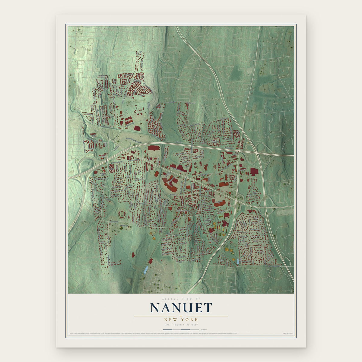
Nanuet, New York Map Art
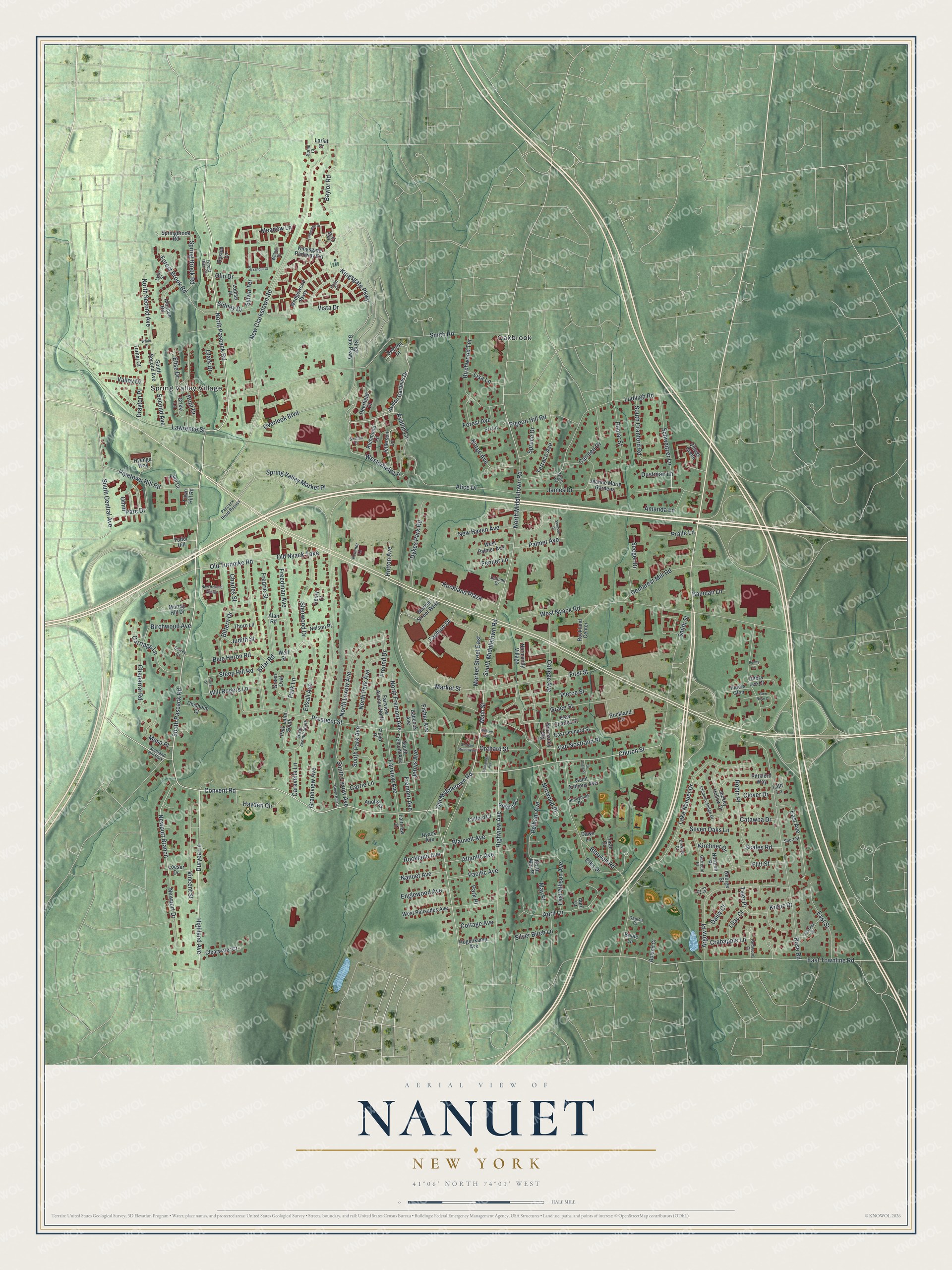
A new map of Nanuet, New York, made in 2026 and printed to order on thick archival matte paper.
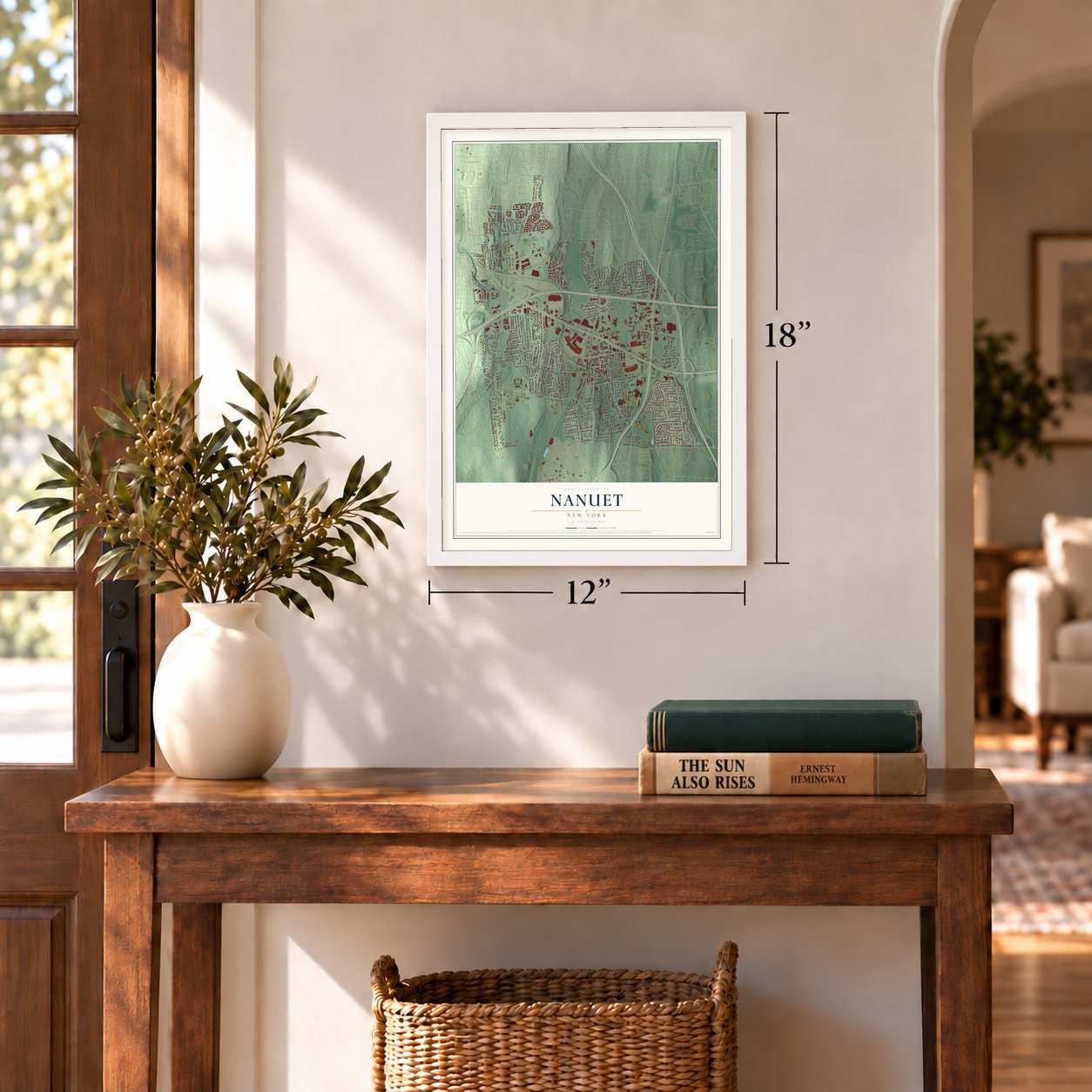
12" x 18" Archival Matte Print
A Map of Home. A Work of Art.
Bring a piece of Nanuet home. Whether it’s where you grew up, your current home, or simply a moment in your life, this Nanuet, New York map print brings those memories to your wall. Antique-inspired styling and modern geographic detail combine to create artwork that’s beautiful from across the room, with plenty to study and explore when you get up close.
Three ways to hang it
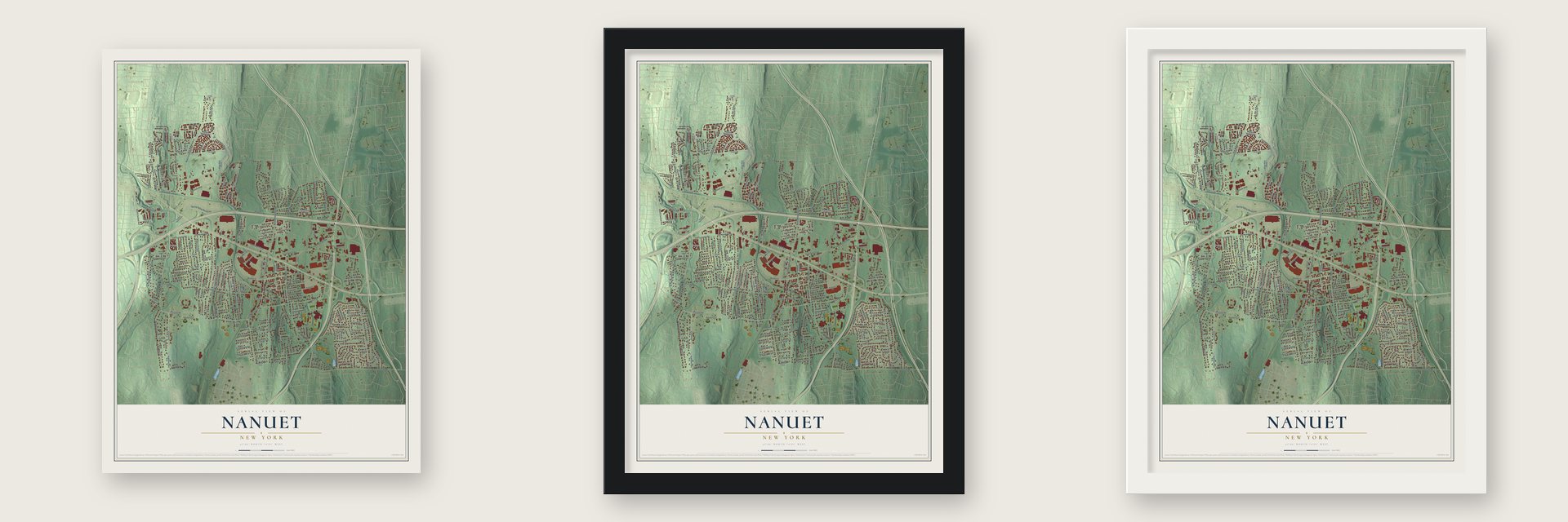
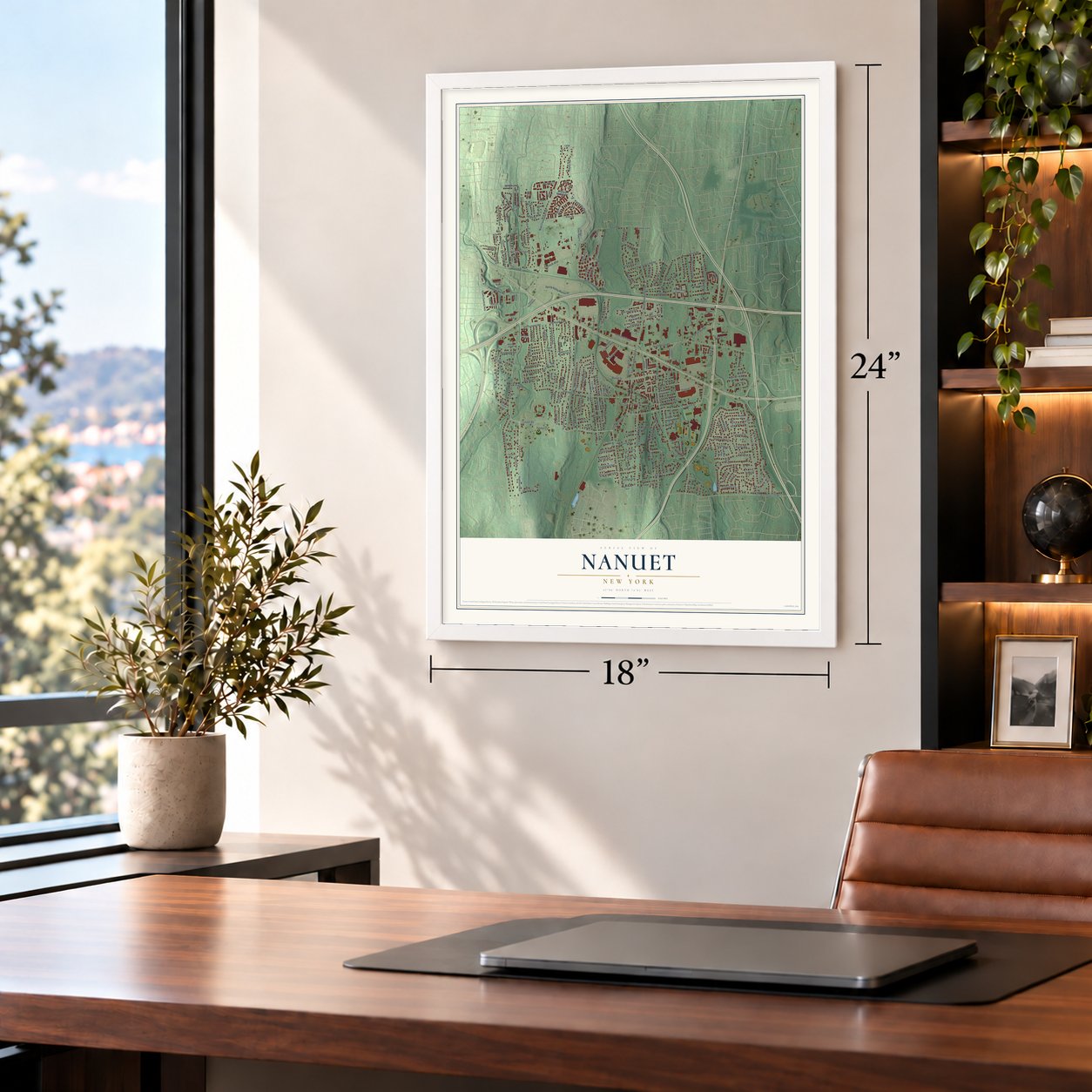
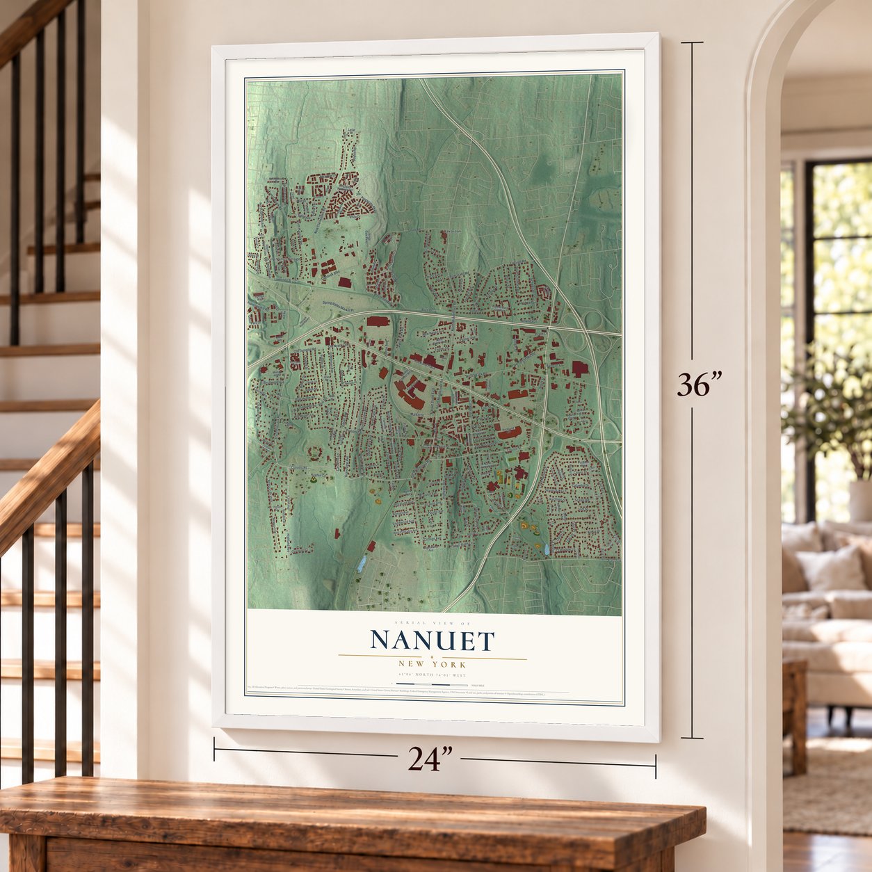
Unframed archival matte, a black wood frame or a white wood frame.
Up close
Real geography. Art worth displaying.
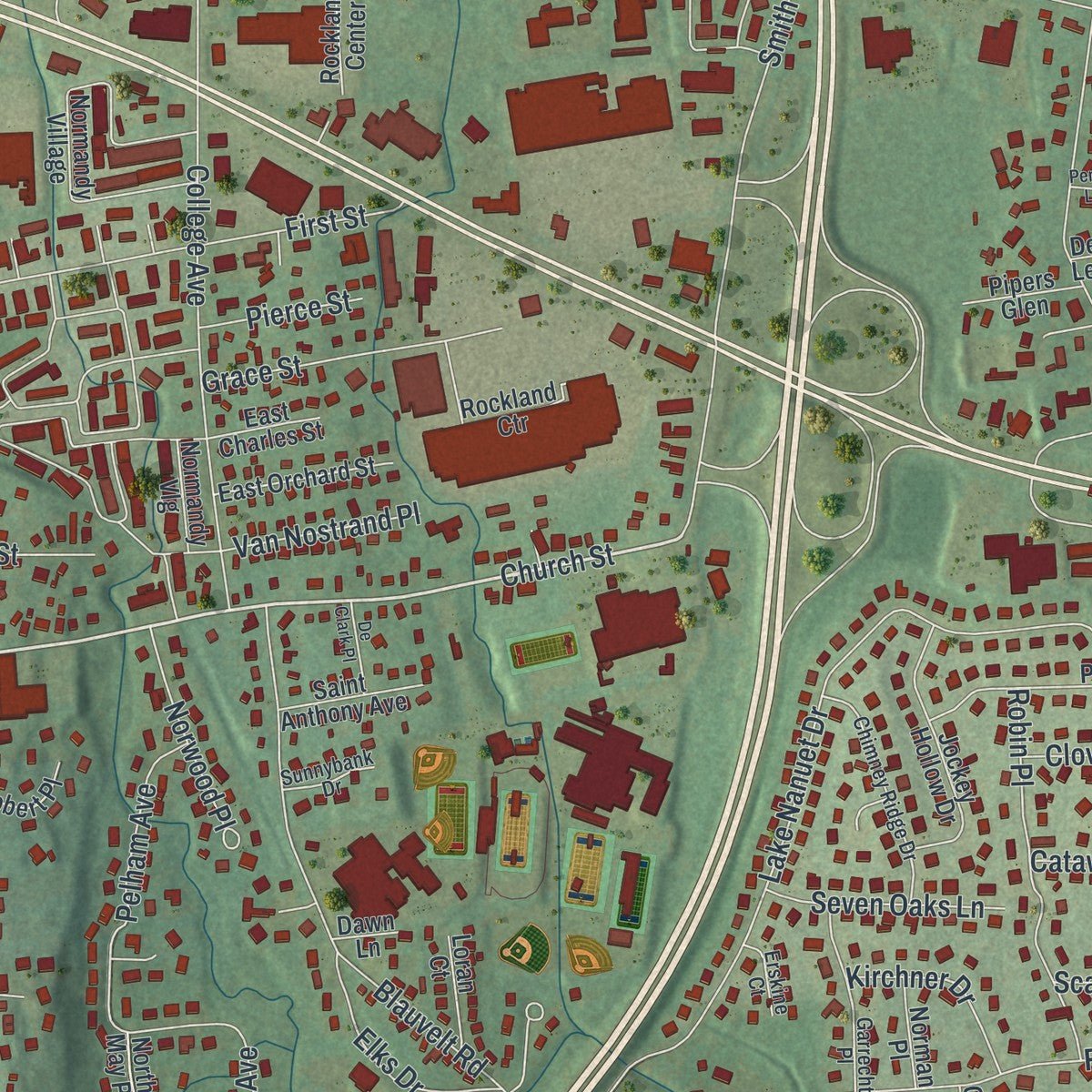
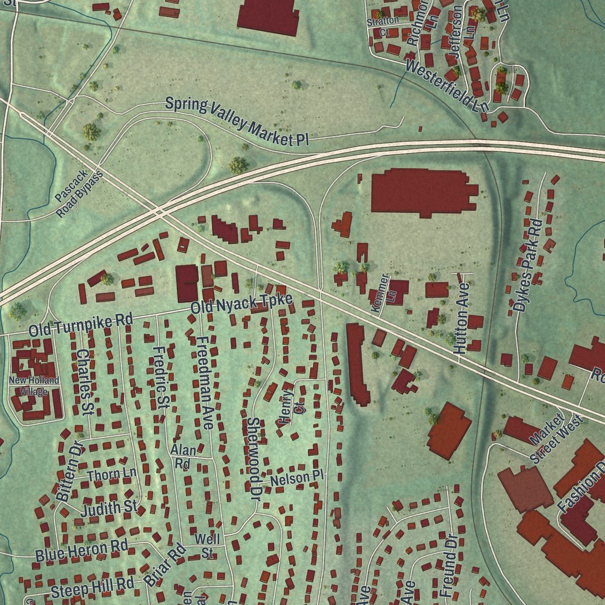
This map was created using accurate cartographic data and authoritative geographic sources, including the U.S. Geological Survey (USGS) and FEMA. The map brings together terrain, waterways, roads, and building detail. The majority of the streets are labeled, houses are accurately depicted, and the topography is derived from government sources. Combining local data with carefully composed color and shading leads to this beautifully detailed Nanuet artwork for your wall.
Rather than simply showing street outlines, we’ve included as many of the street names as we could reasonably fit on the map while keeping their names legible. Zoom in on the high resolution preview to see exactly what’s on the map. We truly set out to create a statement piece for anyone who loves Nanuet. So whether it’s for you, or a gift for someone you love, we hope this map of Nanuet brings back fond memories.
Explore the full map of Nanuet, New York and read about the local places it shows.

About Nanuet, New York
Nanuet, a hamlet, lies in Rockland County. The 2020 census counted 18,886 residents. Its local story is tied to the communities and institutions of Rockland County. Those details remain part of the place residents know today.
- Rockland CountyNanuet is located in Rockland County.
- 18,886 peopleCounted in the 2020 census.
- River and lakeThe third largest hamlet in Clarkstown, it is located north of Pearl River, south of New City, east of Spring Valley, and west of West Nyack.
- Railroad historyThe Erie Railroad arrived in Rockland County in 1841 along its original main line to Piermont.
- Railroad historyThe New Jersey and New York Railroad, the predecessor of the Pascack Valley Line, reached Nanuet in 1869.
Find your street
Names on the Nanuet map
Every name below is printed on this map. Look for your street, your school, the park where you played, or the pond down the road.
Places and landmarks3
- Oakbrook
- Spring Valley Village
- Scotland Hill Park
Streets and roads246
- South Pascack Road
- North Pascack Road
- Church Street
- Main Street
- Duryea Lane
- Market Street
- Old Middletown Road
- Elise Drive
- Old Turnpike Road
- New Clarkstown Road
- Highland Avenue
- Old Nyack Turnpike
- Park Lane
- Meadow Lane
- Jerrys Avenue
- Rose Road
- South Middletown Road
- Smith Road
- Convent Road
- North Middletown Road
- West Nyack Road
- Prospect Street
- Grandview Avenue
- East Townline Road
- Lake Nanuet Drive
- Blauvelt Road
- Ludvigh Road
- Highview Avenue
- Newport Drive
- Kingsgate Parkway
Show all 246 streets
- Second Avenue
- College Avenue
- Argow Place
- Vista Drive
- Lawrence Street
- Smith Street
- Overlook Boulevard
- Alice Drive
- Dustman Lane
- First Street
- Forest Brook Road
- Judith Street
- Sherwood Drive
- April Lane
- Westerfield Lane
- Birchwood Terrace
- North Lexow Avenue
- Vincent Street
- Pelham Avenue
- Demarest Mill Road
- Pipetown Hill Road
- South Central Avenue
- Freedman Avenue
- Briar Road
- Newport Branch
- Spring Brook Road
- Flitt Street
- Spring Valley Market Place
- Schweitzer Lane
- East Avenue
- South Cranford Road
- Dykes Park Road
- Market Street East
- Robin Place
- Blue Heron Road
- East Allison Avenue
- South Lexow Avenue
- Rockland Plaza
- East Street
- Fairview Avenue
- Edsall Avenue
- Carmen Drive
- North Park Avenue
- Will Rogers Lane
- Chaparral Road
- Avalon Lane
- Carriage Lane
- Baylor Road
- James Drive
- Pigeon Hill Road
- Mesa Place
- Bittern Drive
- Carrie Lane
- Hayden Circle
- Fremont Avenue
- Kreuz Drive
- North Second Avenue
- Poplar Street
- Omni Parc Drive
- Terrace Avenue
- Fashion Drive
- Norge Avenue
- Norwood Place
- New Haven Avenue
- Blauvelt Avenue
- Birchwood Avenue
- Seeger Drive
- Fredric Street
- Elks Drive
- North Fremont Avenue
- Clark Drive
- Grace Street
- Seven Oaks Lane
- South Park Avenue
- Atlantic Avenue
- Amanda Lane
- Palmer Avenue
- Freund Drive
- Steep Hill Road
- Pacific Avenue
- May Place
- Englewood Avenue
- Hopf Drive
- Caravella Lane
- Olin Drive
- Kirchner Drive
- Orchard Street
- Nanuet Avenue
- Charles Street
- Tyler Place
- Van Nostrand Place
- Spruce Drive
- Crabapple Lane
- Pralle Lane
- Valley Drive
- Silver Birch Lane
- Forest Avenue
- Rockland Avenue
- Cottage Avenue
- Drayton Place
- Lisa Lane
- Sidney Drive
- Fenner Lane
- Pierce Street
- Catawba Drive
- Lilac Court
- Hutton Avenue
- Scales Road
- Clover Drive
- Bauman Lane
- Daisy Court
- Sylvia Terrace
- Fisher Avenue
- Park Place
- Avalon Gardens Drive
- Park Lane South
- Crikki Lane
- Tudor Hill
- Normandy Vlg
- Normandy Village
- Wedgewood Parkway
- Kings Gate Parkway
- Springbrook Road
- Village Green
- South Second Avenue
- Hyenga Way
- South Fremont Avenue
- Rockland Ctr
- Jockey Hollow Drive
- Pittsford Way
- Jefferson Lane
- West Palisades Avenue
- Clearwater Court
- Green Oval
- Rockland Center
- Chisholm Court
- Market Street West
- Albacon Road
- Deerfield Court
- East Orchard Street
- Fairview Avenue North
- Richmond Lane
- Overton Court
- West Palmer Avenue
- Kingsgate Parkway Extension
- Tulip Court
- Hogenkamp Avenue
- Klint Court
- Saint Anthony Avenue
- Jeanne Marie Gardens
- Murray Hill Drive
- Louise Place
- Clifford Court
- Debra Lee Court
- Nelson Place
- Pipers Glen
- Loran Court
- Thorn Lane
- East Charles Street
- Robert Place
- Norman Place
- Eri Lane
- Turner Court
- Apollo Court
- Roland Court
- Fairview Court
- Nyack Avenue
- Babcock Avenue
- Loeser Drive
- Lath Lane
- Town Hill Road
- Fir Court
- Henry Court
- North May Place
- Alan Road
- Well Street
- George Street
- Rusten Lane
- Dawn Lane
- Lariat Court
- Bridle Lane
- Floyd Place
- April Court
- Edsall Avenue South
- Chimney Ridge Drive
- Garrecht Place
- Redwood Court
- Autumn Drive
- Pascack Road Bypass
- Lynn Street
- Forest Glen Court
- Sunnybank Drive
- Ryan Court
- Erskine Court
- Short Street
- Kemmer Lane
- Doris Drive
- Danica Court
- Surim Court
- Surrey Court
- Willow Drive
- New Holland Village
- Timberline Drive
- Alexander Court
- Demarest Avenue
- Green Hill Court
- Fairfield Terrace
- Orchard Street West
- Glen Rose Court
- Svenson Place
- Stratton Court
- White Street
- De Clark Place
- Corral Street
- Penny Lane
- William Avenue
Names are listed as they appear on the printed map. Zoom into the product photos to find them.
The art of mapping a place
How This Map Was Made
Real places. Remarkable detail. Discover the layers that turn geographic data into a map of home.

The view from above
Aerial imagery reveals the character of the land: woodland, open fields, and the patterns of a place.

The shape of the land
Elevation data brings hills, valleys, and subtle changes in the landscape into view.

The details of home
Roads, waterways, and building footprints come together to make the map feel unmistakably local.

Geography becomes art
Considered color, shading, and typography bring the layers together in a map made for your wall.


Process illustrated with Mendon, Massachusetts. Aerial imagery: USDA NAIP. Terrain: USGS 3D Elevation Program. Map details and finished artwork: KNOWOL.
The Details
About This Print
Choose an archival matte print, or a black or white Ayous wood frame. The archival matte print is unframed.
Select your size and finish above to see the matching product image and price.
Materials & Craftsmanship
A contemporary map with the character of a classic atlas, printed on archival matte paper. Optional frames are made from Ayous wood.
Your printed map does not include the watermark shown in the full-map preview.
Shipping & Delivery
Free shipping within the United States. Every print is made to order in the USA.
Buying a gift? Add a note in your cart and we'll include it. We never put prices in the package.
Prints ship within 2 to 3 business days. Allow 7 to 10 days total from ordering for delivery. Timing may vary during holidays or periods of high order volume.
Read our shipping policy.
Returns and damaged prints
Each print is made to order. Change-of-mind refunds are not available after production.
If your print arrives damaged, misprinted or incorrect, contact support@knowol.com within 30 days of receiving it. Include your order number, photos and a description of the issue.
Read our full refund and replacement policy. For questions about your order, email support@knowol.com.
Find your town
Looking for another city?
Find a map of home in our New York collection.
Nearby
Maps of towns near Nanuet
Know someone from one of these towns? Their map makes a great gift.
 Chestnut Ridge
, New York
From $39.99See the map
 Spring Valley
, New York
From $39.99See the map
 Bardonia
, New York
From $39.99See the map
More maps nearby: Pearl River, West Nyack, Hillcrest, New Square and Kaser.