
Search for another town
Free U.S. delivery 7 to 10 days after you order
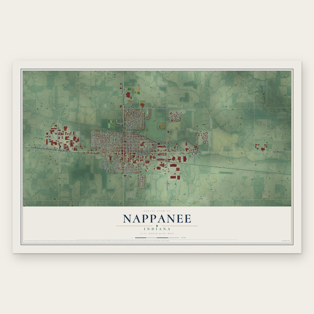
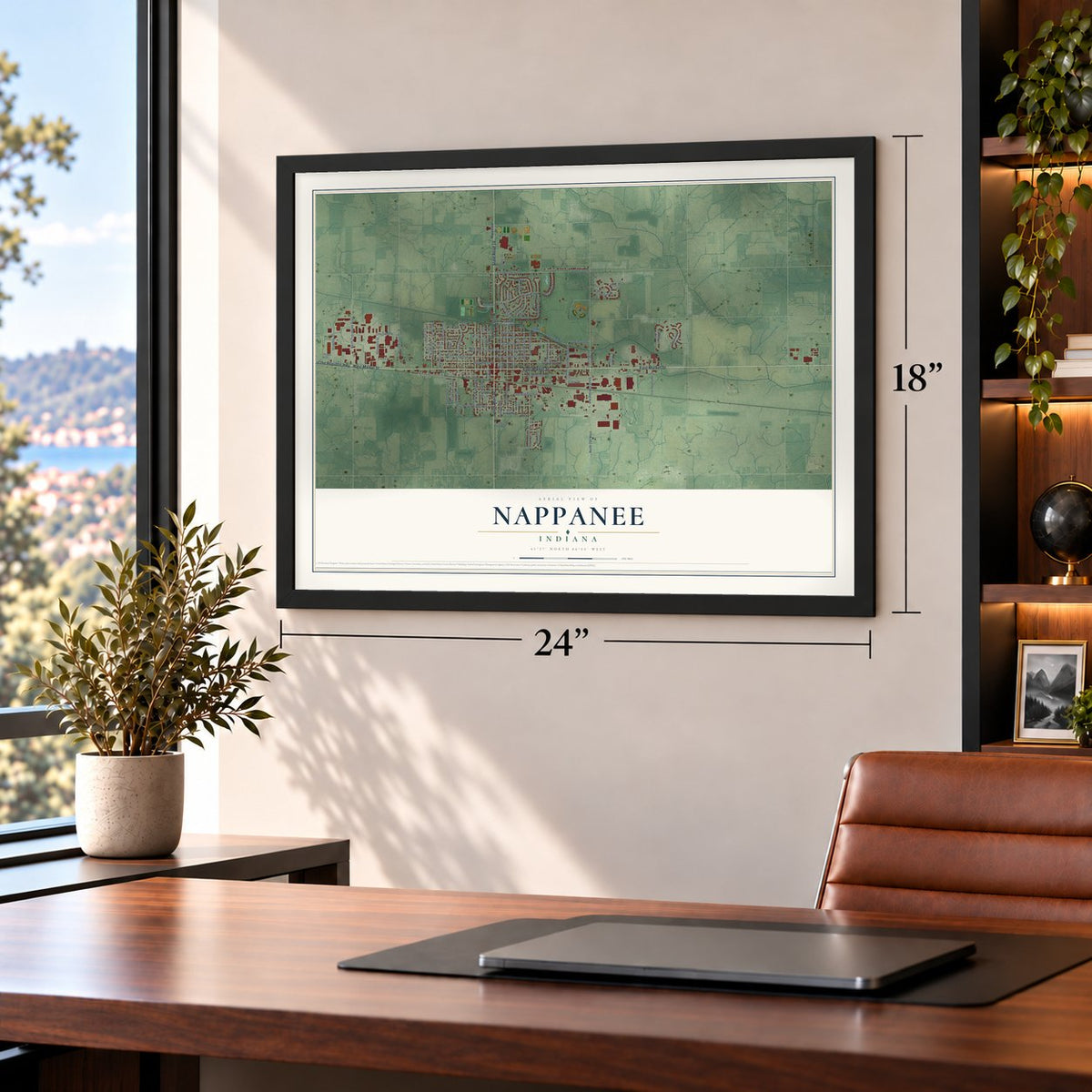
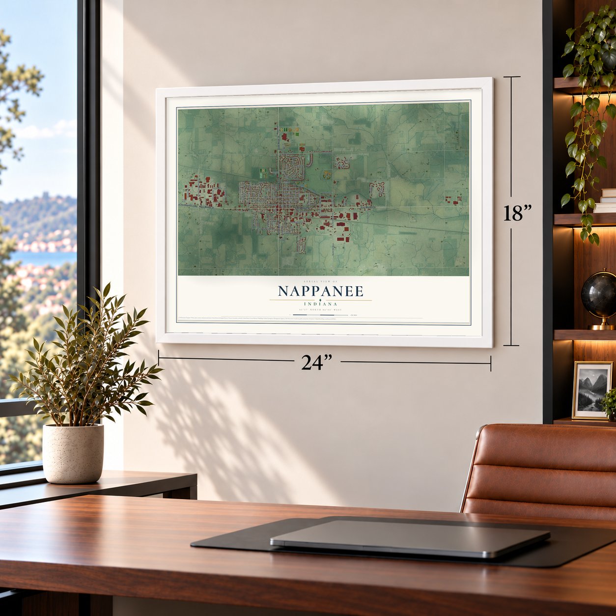
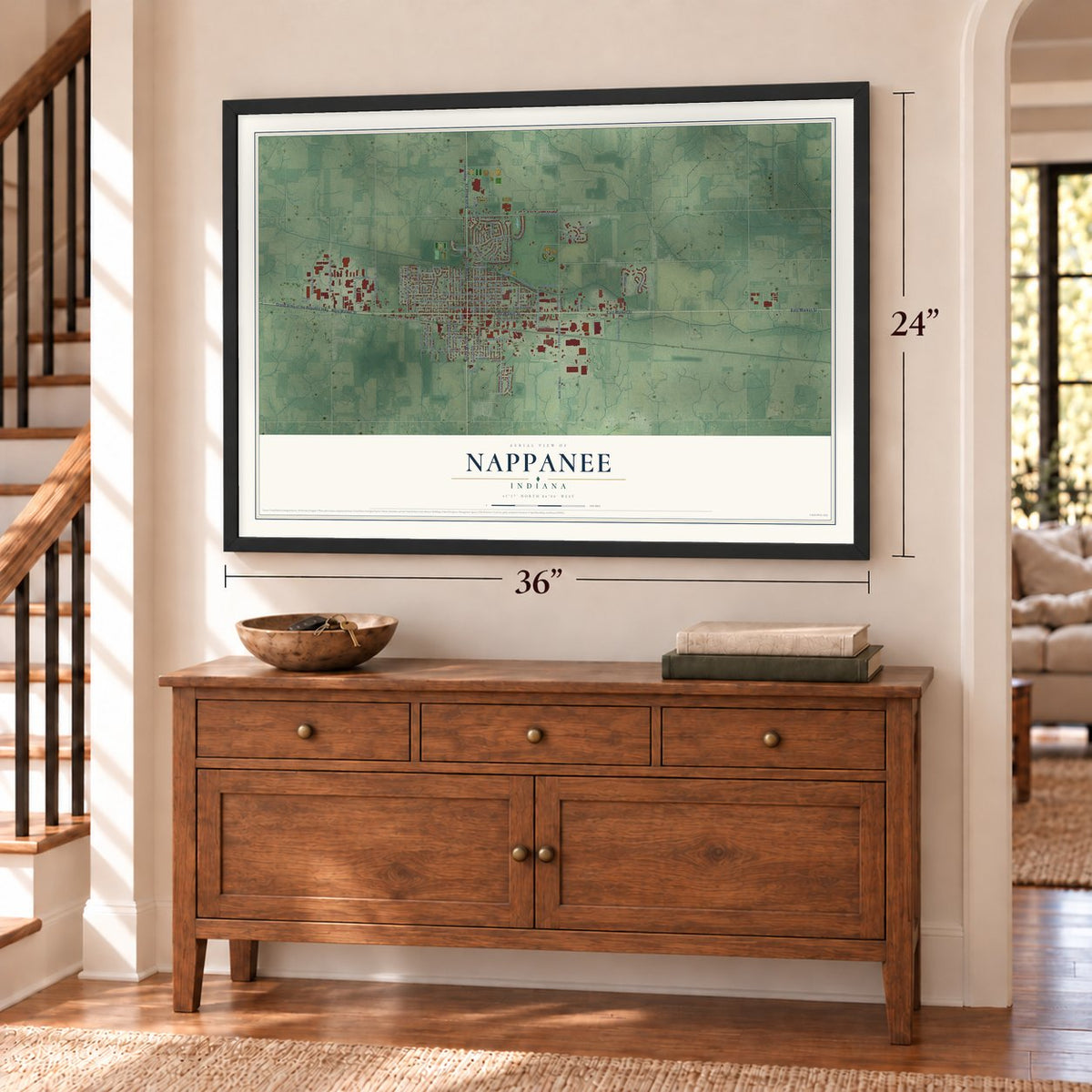
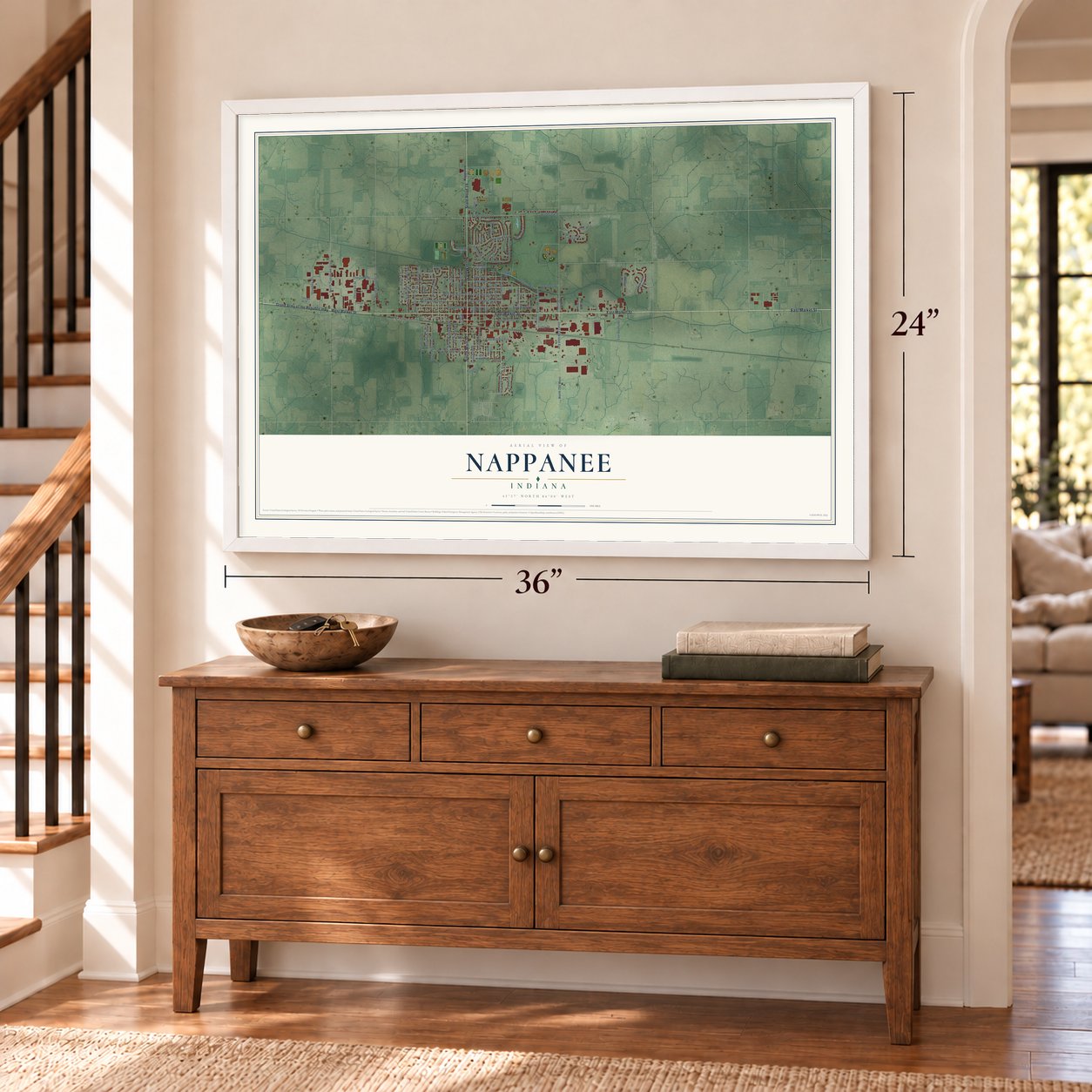
Nappanee, Indiana Map Art
Building by building, with labeled streets and shaded relief.
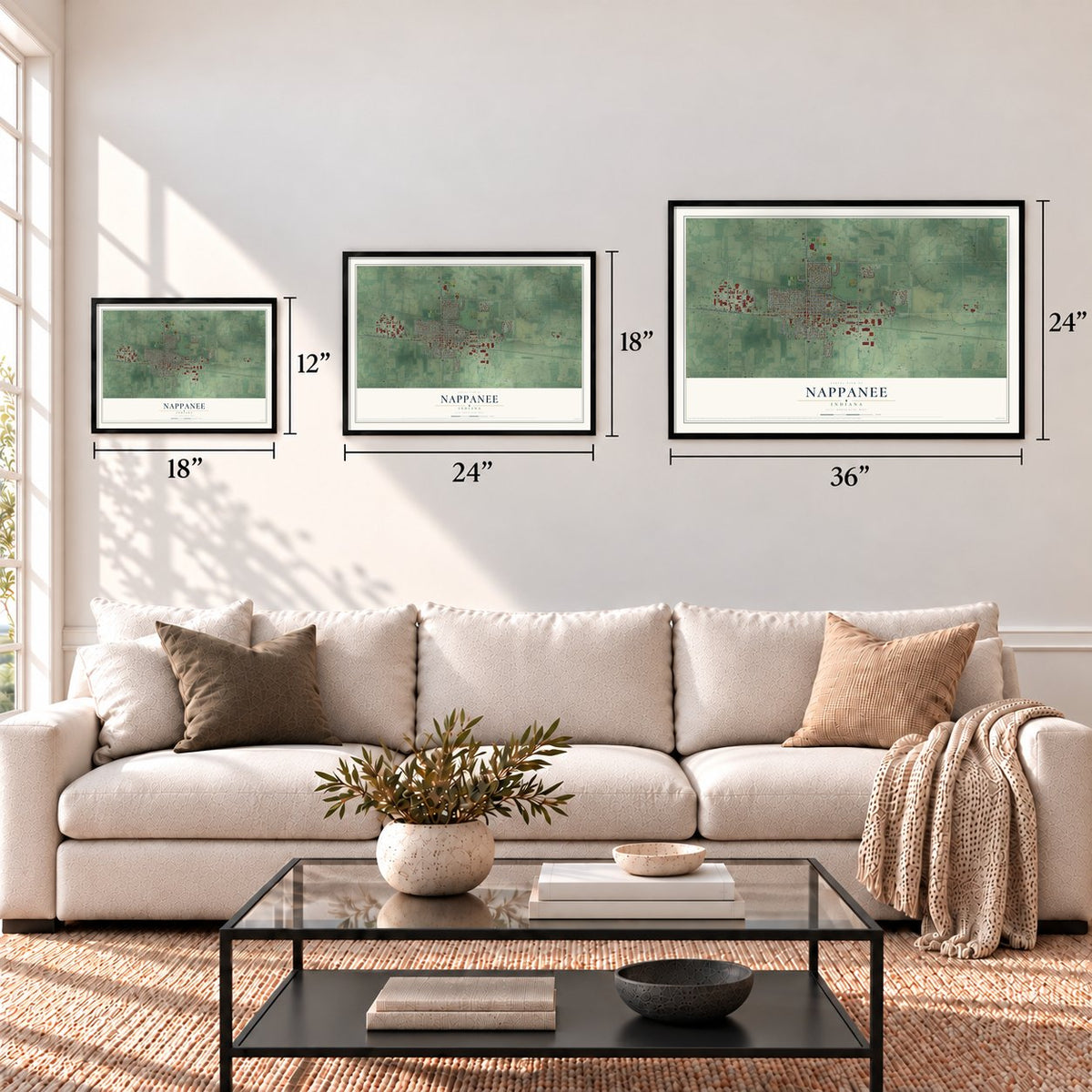
12" x 18" Archival Matte Print
A Map of Home. A Work of Art.
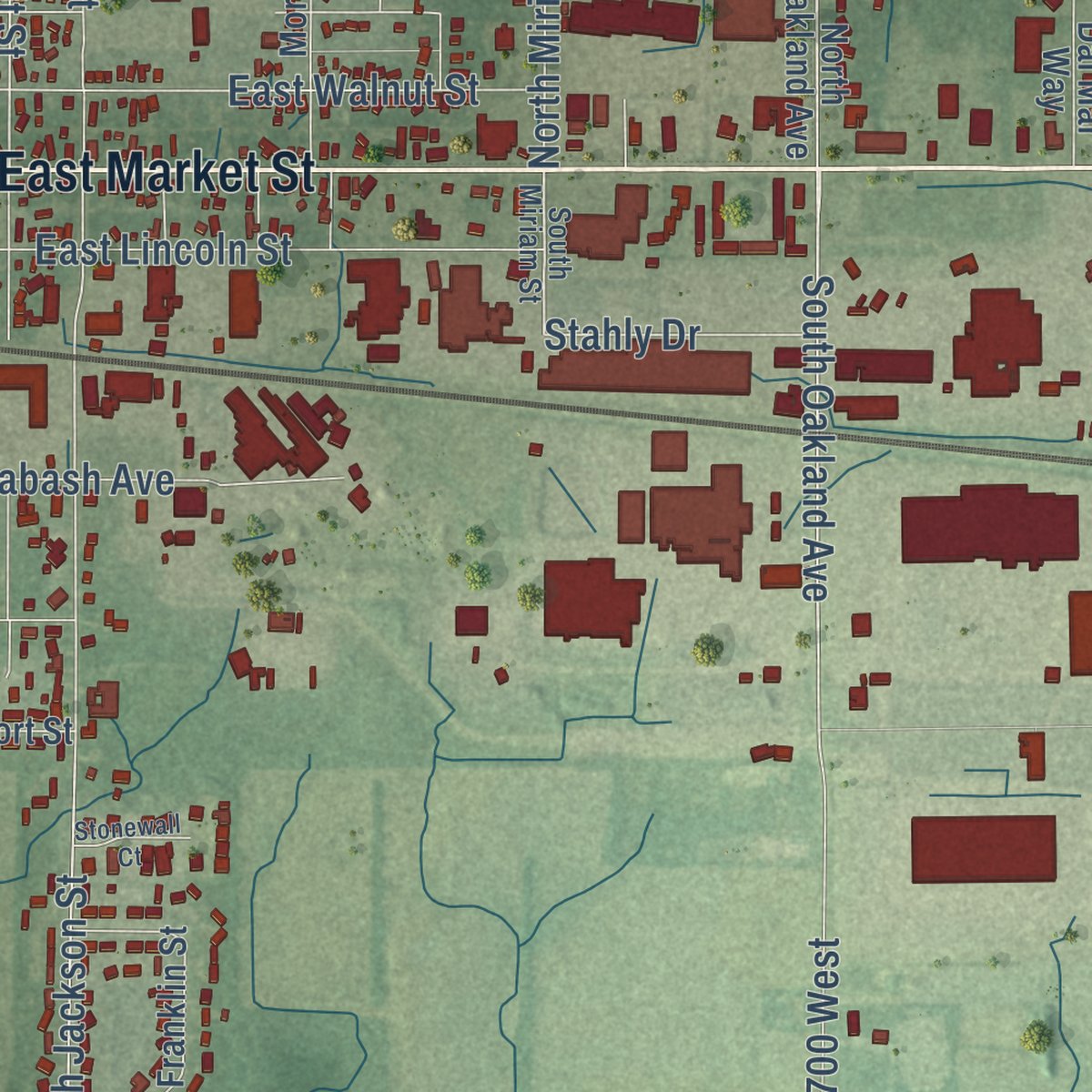
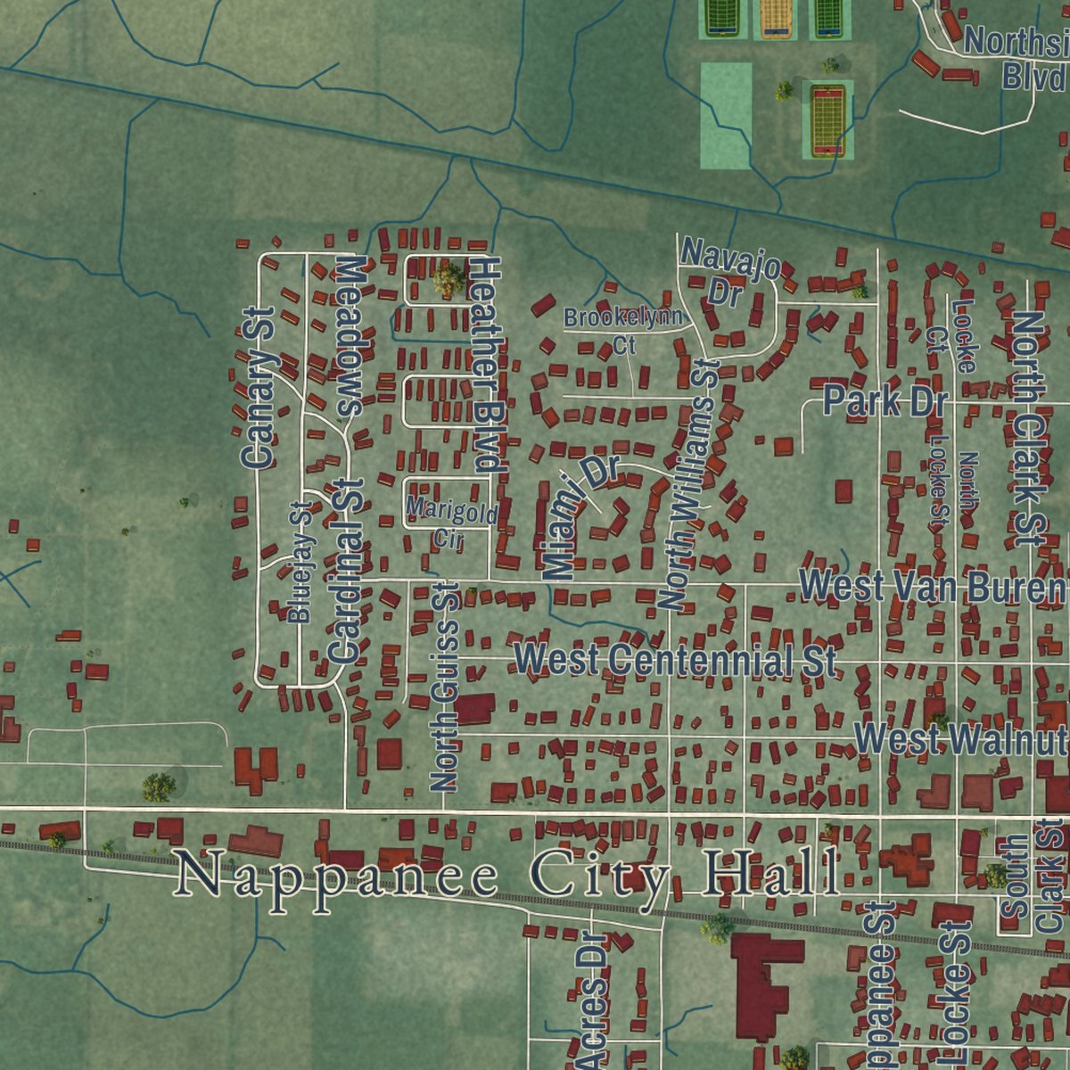
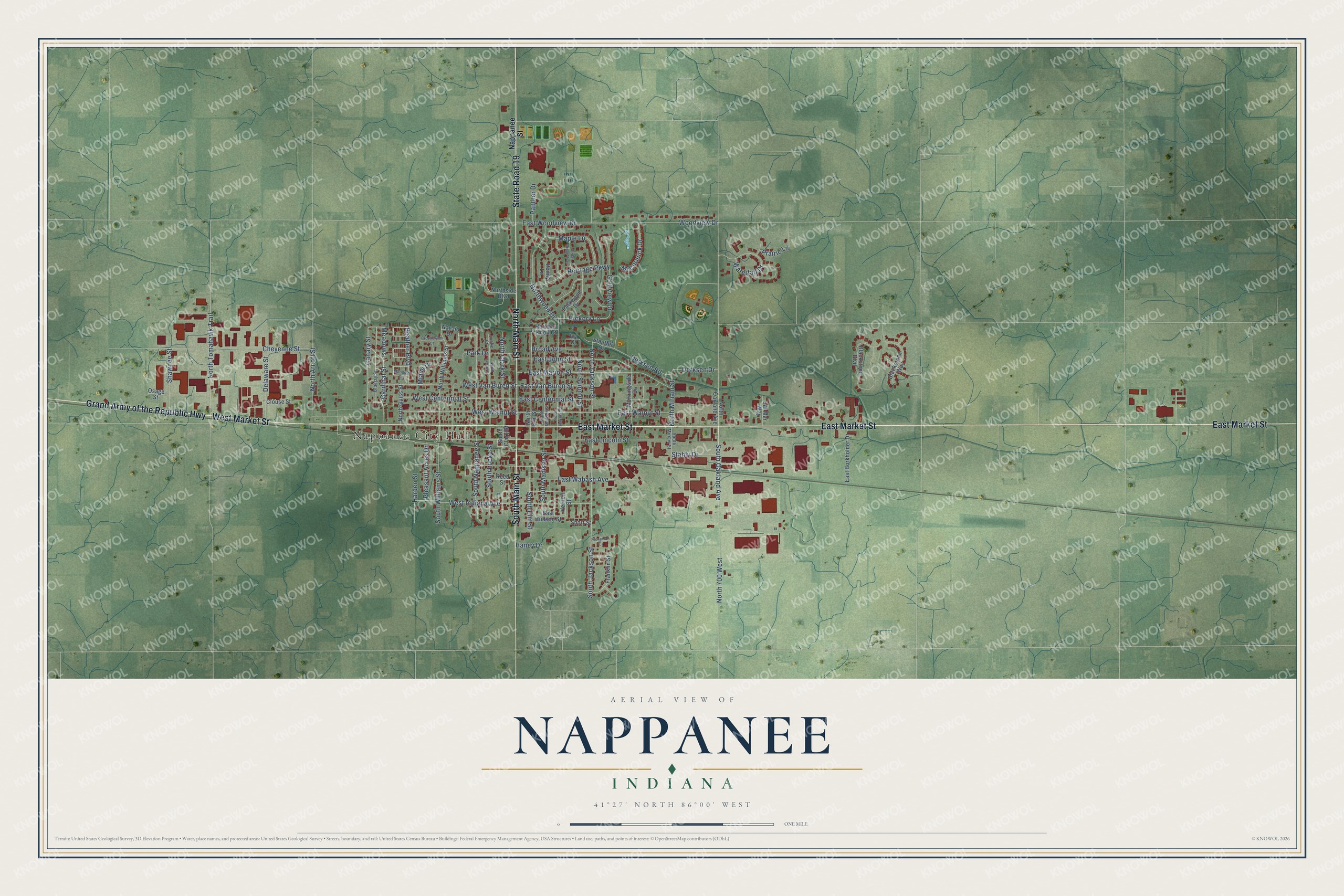
Explore Nappanee, Indiana from a whole new perspective. Created using aerial imagery and detailed geographic data, this map captures Nappanee building by building, with labeled streets, familiar landmarks, and shaded topographical relief that highlights the natural contours of the landscape.
Combining modern data with the timeless character of a vintage atlas, this map is just as interesting up close as it is beautiful on the wall. Whether you grew up in Nappanee, spent memorable years there, or call it home today, this unique map is a great way to celebrate a place that means something to you. Zoom in on the preview to look for your street, and then order a print to put your memories on the wall.
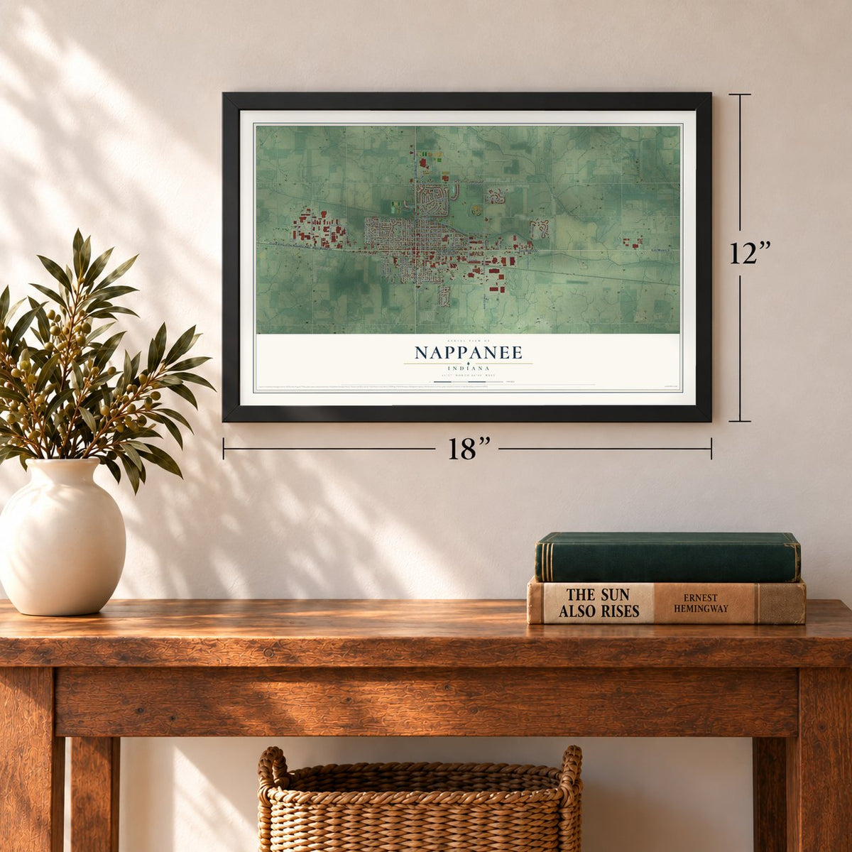
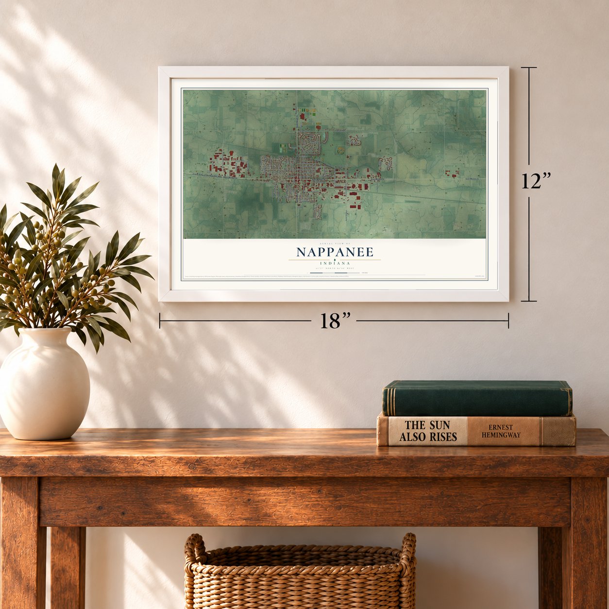
Three ways to hang it
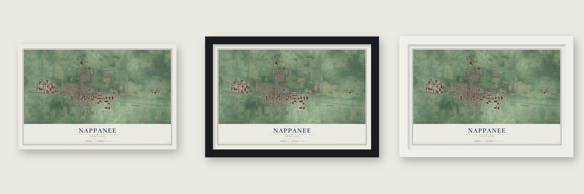
Unframed archival matte, a black wood frame or a white wood frame.
Up close
Geography Worth Displaying
This map was created using accurate cartographic data and authoritative geographic sources, including the U.S. Geological Survey and the Census Bureau. The map brings together terrain, waterways, roads, and building detail. The majority of the streets are labeled, houses are accurately depicted, and the topography is derived from government sources. Combining local data with carefully composed color and shading leads to this beautifully detailed Nappanee artwork for your wall.
Rather than simply showing street outlines, we’ve included as many of the street names as we could reasonably fit on the map while keeping their names legible. Zoom in on the high resolution preview to see exactly what’s on the map. We truly set out to create a statement piece for anyone who loves Nappanee. So whether it’s for you, or a gift for someone you love, we hope this map of Nappanee brings back fond memories.
Read the story behind this map of Nappanee, Indiana from 2026.

Find your street
Names on the Nappanee map
Every name below is printed on this map. Look for your street, your school, the park where you played, or the pond down the road.
Places and landmarks1
- Nappanee City Hall
Streets and roads93
- South Main Street
- East Market Street
- North Main Street
- Grand Army of the Republic Highway
- State Road 19
- West Market Street
- Meadows
- Canary Street
- South Elm Street
- South Oakland Avenue
- South Jackson Street
- North Summit Street
- North Miriam Street
- Hickory Lane
- East Van Buren Street
- East Woodview Drive
- Cheyenne Street
- East Marion Street
- East Walnut Street
- East Lincoln Street
- Woodview Drive
- East John Street
- North Tomahawk Trail
- West Walnut Street
- West Centennial Street
- West Van Buren Street
- Northwood Drive
- East Wabash Avenue
- North Arnott Street
- North Clark Street
Show all 93 streets
- East Centennial Street
- West Indiana Avenue
- Cardinal Street
- South Williams Street
- Heritage Parkway
- South Madison Street
- Waterfall Drive
- South Locke Street
- Golf View Drive
- Derksen Road
- Park Drive
- North Jackson Street
- Harden Street
- South Nappanee Street
- North 700 West
- Delaware Street
- Maple Lane
- Shawnee Street
- Broad Avenue
- McCormick Drive
- Pleasant Acres Drive
- Heather Boulevard
- Prairie Lane
- Derksen Drive
- Stahly Drive
- Panther Drive
- Miami Drive
- Haney Drive
- Nappanee Street
- South Clark Street
- Vernon Street
- Ivy Court
- Blackstone Boulevard
- North Williams Street
- North Elm Street
- Northside Boulevard
- East Borkholder Drive
- Parkwood Drive
- Blackstone Way
- Morningside Drive
- Franklin Street
- North Guiss Street
- Reed Street
- North Oakland Avenue
- East Hudson Street
- Dal Mar Way
- Clouse Street
- Stauffer Drive
- Hartman Knoll Court
- Osage Street
- Penny Lane
- Navajo Drive
- Short Street
- South Miriam Street
- Bluejay Street
- Locke Court
- Marigold Circle
- North Hartman Street
- North Madison Street
- North Locke Street
- Cedar Ridge Trail
- Brookelynn Court
- Stonewall Court
Names are listed as they appear on the printed map. Zoom into the product photos to find them.
About Nappanee, Indiana
Nappanee is a city of 6,949 people in Elkhart County, on flat ground that was once thick with woods and tamarack swamps. European settlers first arrived in 1830, but by 1870 only forty people lived on seven farms in the area. In 1872 the B&O Railroad set out to build a line west from Sandusky, Ohio, to Chicago, and the marshes here made the job hard. Workers finished a single track through this stretch in the late summer of 1874, and on December 6, 1874, trains began stopping at a place the railroad first called Locke's Station.
The older village of Locke, about six miles away, never got the five acres it needed for a side track, so a new town grew beside the tracks instead. On December 12, 1874, Daniel Metzler, Henry Stahly and John Culp Jr. platted Nappanee, and the two men split the railroad's land between them: Culp donated three acres for the station and Metzler two. According to the Eby brothers of Locke, the name was their idea, since they had come from Napanee, Ontario, though one of the Metzlers said his father chose it partly for its Native American sound. Nappanee became a town in 1889 and a city in 1925.
- From sawmill to RV plantsA sawmill was the town's first business, and makers of boxes, charcoal and furniture soon followed, along with a brickyard that opened before 1879. A canning company started in 1894. A hemp factory built by 1913 never ran at full capacity, and after it burned in 1920 no one rebuilt it. After World War II, Walco and Franklin Coach Company set up shop in Nappanee, and in 2014 the British firm Alexander Dennis opened a bus assembly plant here.
- Freckles, 1915 to 1973Merrill Blosser was the first artist from Nappanee to win national fame as a cartoonist. His strip Freckles and His Friends was syndicated by the Newspaper Enterprise Association from 1915 to 1973. Other cartoonists from town followed him, including Bill Holman, who drew Smokey Stover, and Fred Neher, who drew Life's Like That. A marker outside the public library now tells the story of the town's cartoonists.
- A divide at Market StreetNappanee sits at the headwaters of the Wabash River, right on a split between two great watersheds. Rain that falls south of Market Street runs to the Wabash, then the Ohio and the Mississippi, and finally the Gulf of Mexico. Rain that falls north of it heads for the Great Lakes and reaches the Atlantic by way of the St. Lawrence River.
- The tornado of 2007Around 10:30 at night on October 18, 2007, an EF3 tornado struck Nappanee. It hurt at least five people and damaged 200 to 250 buildings, about half of them badly, including the Fairmont Homes, Franklin Coach and Gulf Stream Coach factories, three of the town's biggest employers. Jobs were lost and the recovery was slow, but the local economy has since come back.
Keep exploring Indiana
Nappanee is one of 1,023 Indiana towns we've mapped. Every dot on the map is a print of its own.
The search covers every state, Indiana first.
Near Nappanee
Order 2 or more town maps and save 10%. Shown in the size and finish you picked above, so they hang as a set.
- Wakarusa 12" x 18" / Archival Matte Print $39.99
- Bremen 12" x 18" / Archival Matte Print $39.99
- Milford 12" x 18" / Archival Matte Print $39.99
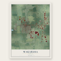
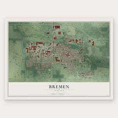
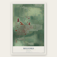
More maps nearby: New Paris, Wyatt, Leesburg, Hoffman Lake and Lake of the Woods.
The art of mapping a place
How This Map Was Made
Real places. Remarkable detail. Discover the layers that turn geographic data into a map of home.

The view from above
Aerial imagery reveals the character of the land: woodland, open fields, and the patterns of a place.

The shape of the land
Elevation data brings hills, valleys, and subtle changes in the landscape into view.

The details of home
Roads, waterways, and building footprints come together to make the map feel unmistakably local.

Geography becomes art
Considered color, shading, and typography bring the layers together in a map made for your wall.


Process illustrated with Mendon, Massachusetts. Aerial imagery: USDA NAIP. Terrain: USGS 3D Elevation Program. Map details and finished artwork: KNOWOL.
The Details
About This Print
Choose an archival matte print, or a black or white Ayous wood frame. The archival matte print is unframed.
Select your size and finish above to see the matching product image and price.
Materials & Craftsmanship
A contemporary map with the character of a classic atlas, printed on archival matte paper. Optional frames are made from Ayous wood.
Your printed map does not include the watermark shown in the full-map preview.
Shipping & Delivery
Free shipping within the United States. Every print is made to order in the USA.
Buying a gift? Add a note in your cart and we'll include it. We never put prices in the package.
Prints ship within 2 to 3 business days. Allow 7 to 10 days total from ordering for delivery. Timing may vary during holidays or periods of high order volume.
Read our shipping policy.
Returns and damaged prints
Each print is made to order. Change-of-mind refunds are not available after production.
If your print arrives damaged, misprinted or incorrect, contact support@knowol.com within 30 days of receiving it. Include your order number, photos and a description of the issue.
Read our full refund and replacement policy. For questions about your order, email support@knowol.com.