
Search for another town





Free U.S. delivery 7 to 10 days after you order
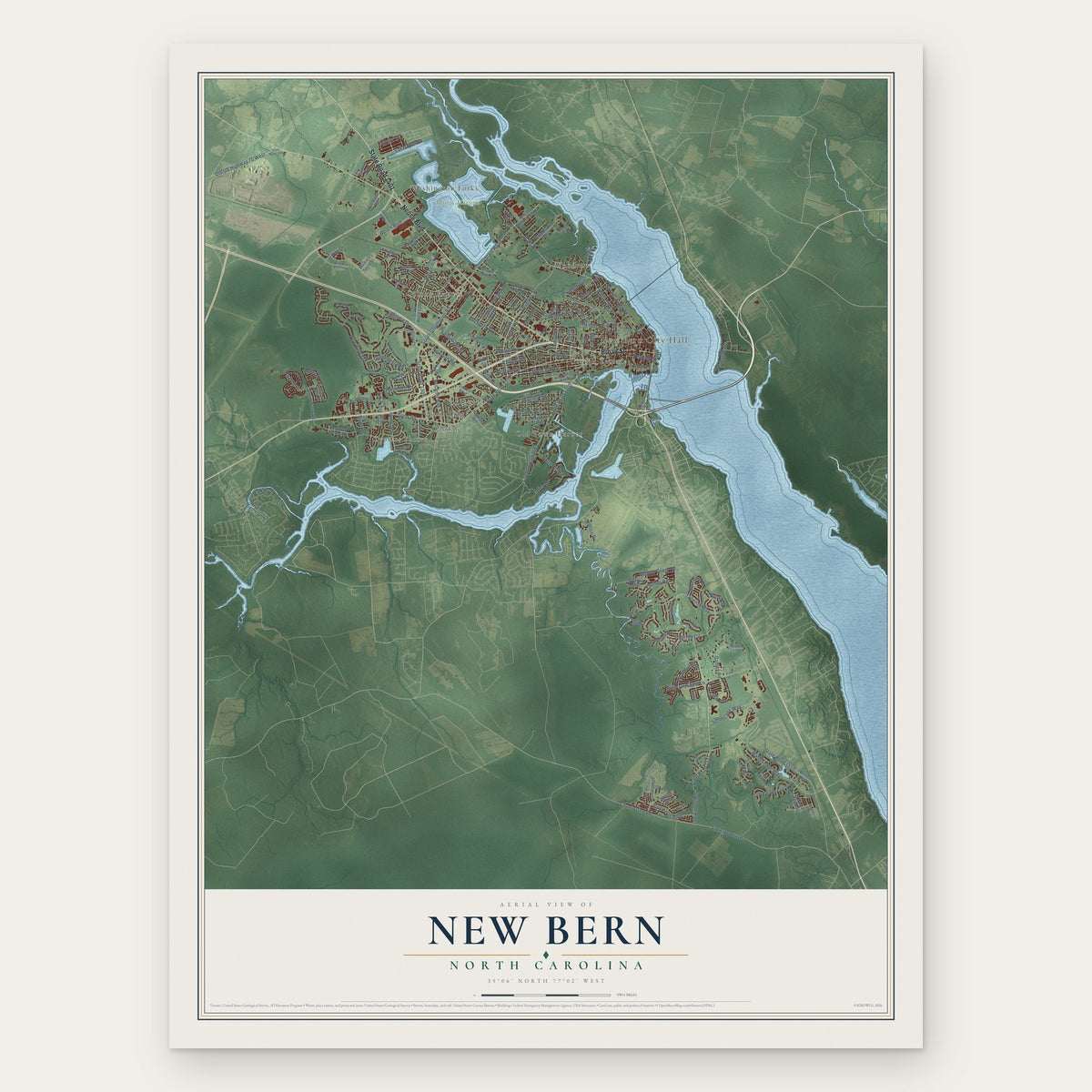
New Bern, North Carolina Map Art
Building by building, with labeled streets and shaded relief.
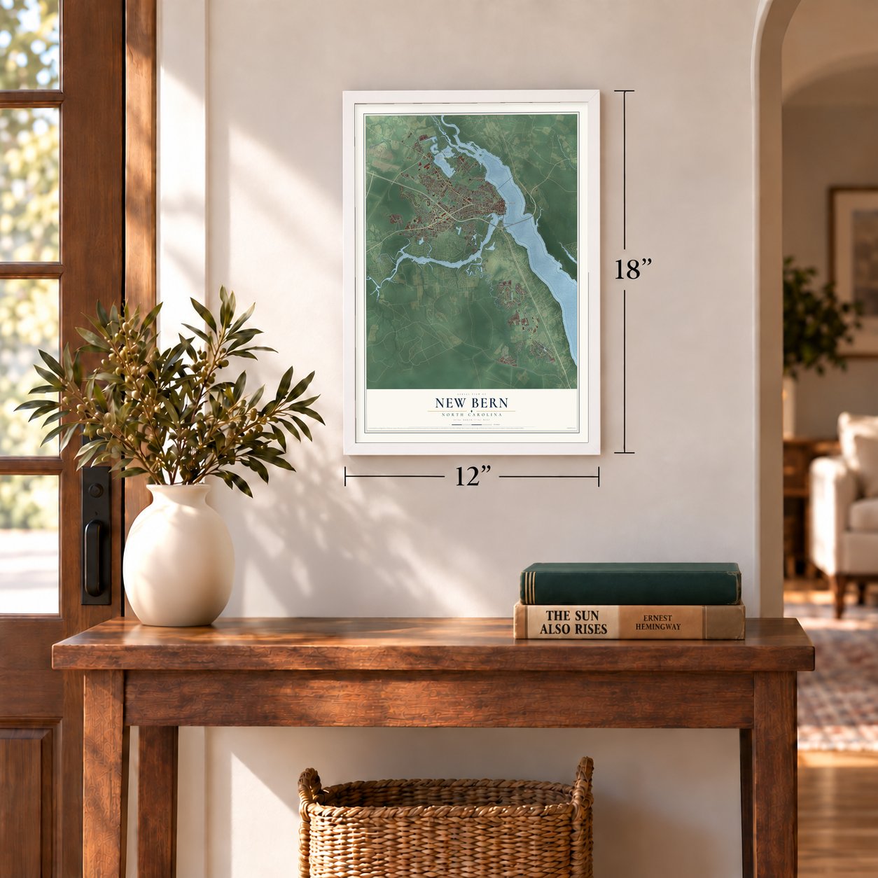
12" x 18" Archival Matte Print
A Map of Home. A Work of Art.
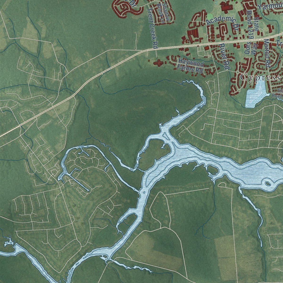
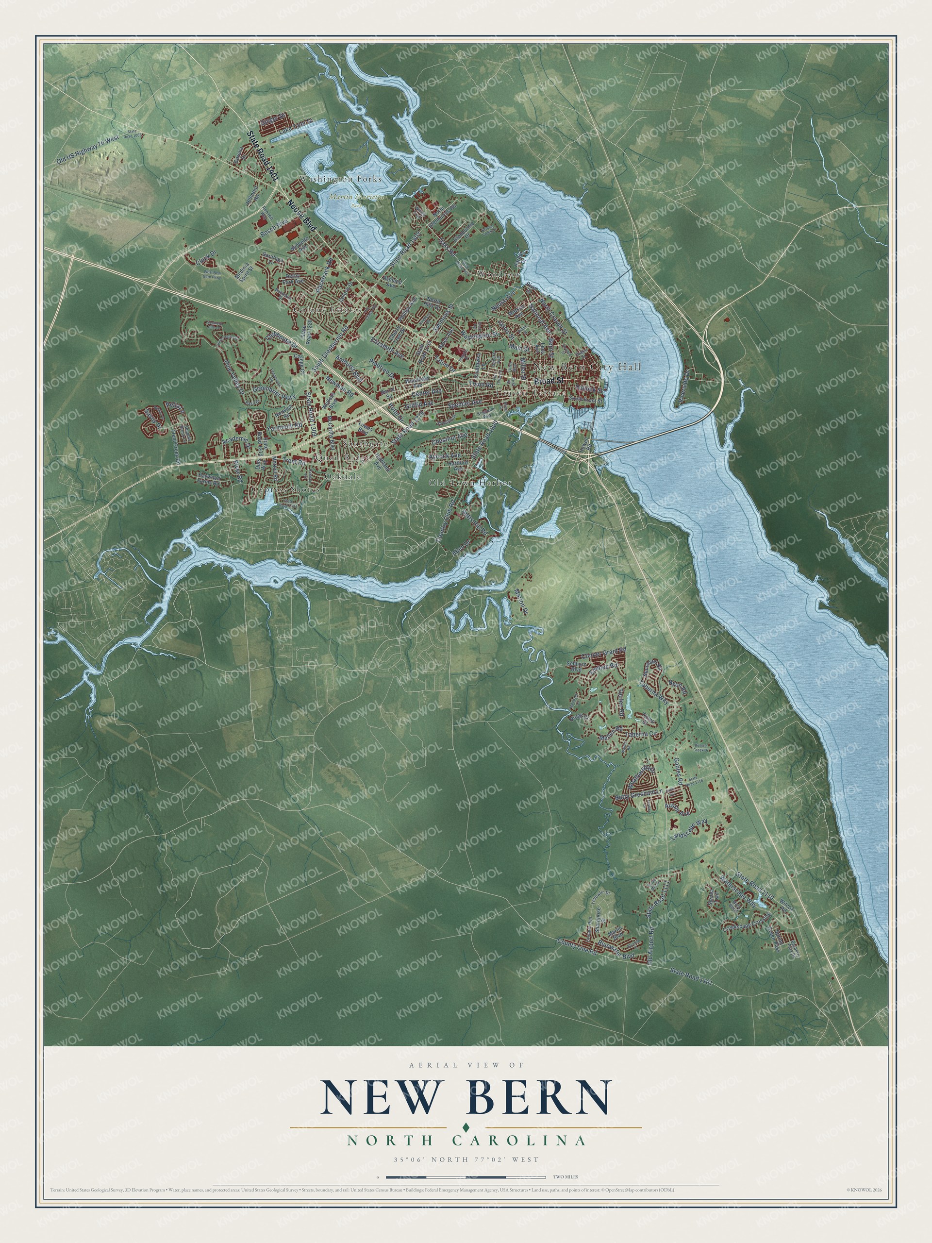
Explore New Bern, North Carolina from a whole new perspective. Created using aerial imagery and detailed geographic data, this map captures New Bern building by building, with labeled streets, familiar landmarks, and shaded topographical relief that highlights the natural contours of the landscape.
Combining modern data with the timeless character of a vintage atlas, this map is just as interesting up close as it is beautiful on the wall. Whether you grew up in New Bern, spent memorable years there, or call it home today, this unique map is a great way to celebrate a place that means something to you. Zoom in on the preview to look for your street, and then order a print to put your memories on the wall.
Three ways to hang it
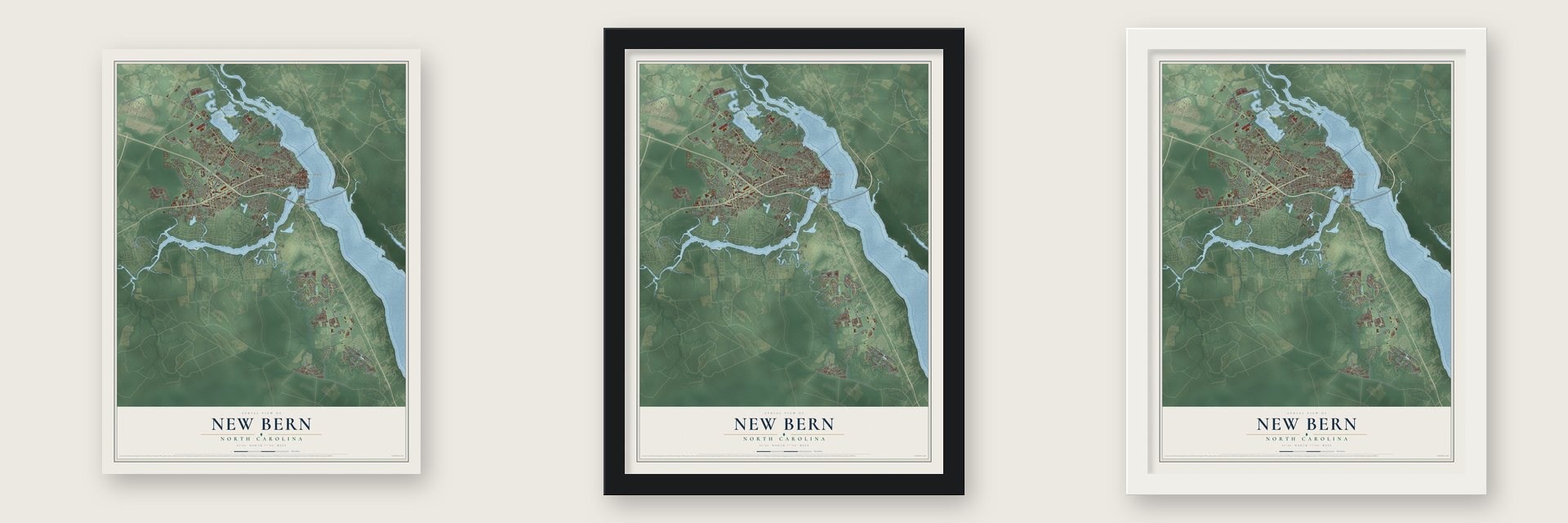
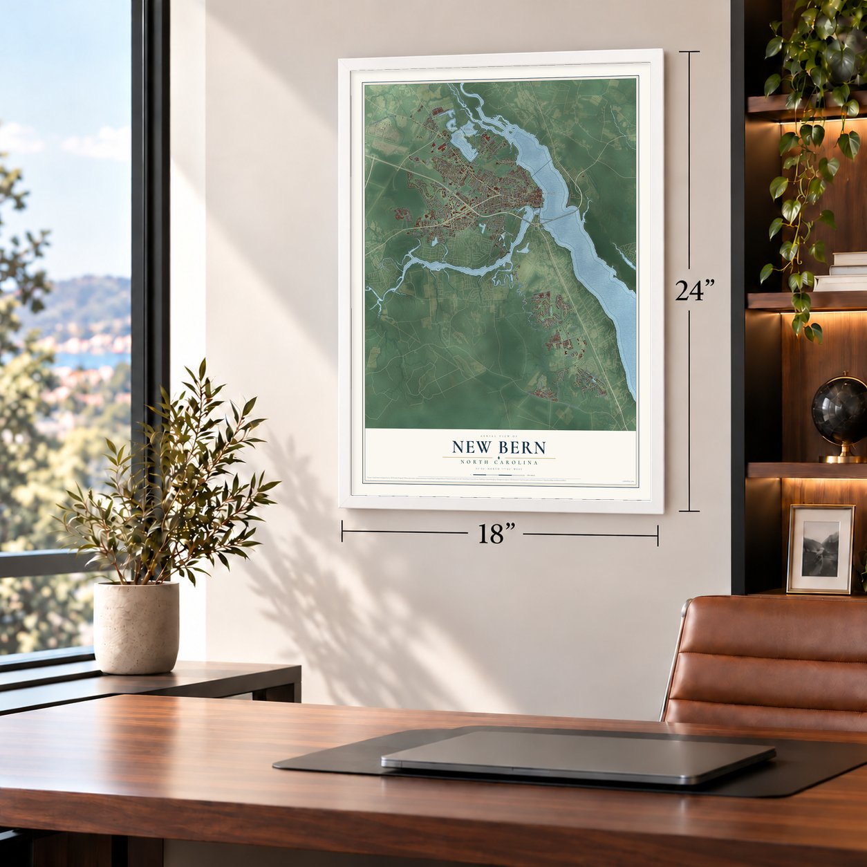
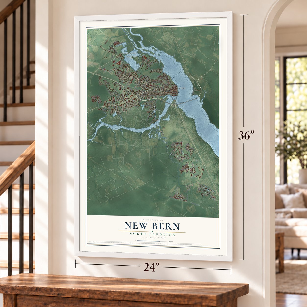
Unframed archival matte, a black wood frame or a white wood frame.
Up close
Geography Worth Displaying
This map was created using accurate cartographic data and authoritative geographic sources, including the U.S. Geological Survey and the Census Bureau. The map brings together terrain, waterways, roads, and building detail. The majority of the streets are labeled, houses are accurately depicted, and the topography is derived from government sources. Combining local data with carefully composed color and shading leads to this beautifully detailed New Bern artwork for your wall.
Rather than simply showing street outlines, we’ve included as many of the street names as we could reasonably fit on the map while keeping their names legible. Zoom in on the high resolution preview to see exactly what’s on the map. We truly set out to create a statement piece for anyone who loves New Bern. So whether it’s for you, or a gift for someone you love, we hope this map of New Bern brings back fond memories.
Read the story behind this map of New Bern, North Carolina from 2026.
Find your street
Names on the New Bern map
Every name below is printed on this map. Look for your street, your school, the park where you played, or the pond down the road.
Places and landmarks11
- New Bern City Hall
- Martin Marietta Park
- Colony Estates
- Craven Terrace
- Cypress Shores
- Oakdale
- Old Town Harbor
- Quail Ridge
- Southgate
- Washington Forks
- Woodrow
Streets and roads158
- Neuse Boulevard
- State Road 1401
- Broad Street
- South Glenburnie Road
- Oaks Road
- Old US Highway 70 West
- National Avenue
- Neuse Avenue
- State Road 1278
- Old Airport Road
- State Road 1111
- County Line Road
- State Road 1101
- Waterscape Way
- Spencer Avenue
- State Road 1309
- State Road 1200
- Elizabeth Avenue
- Simmons Street
- Trent Road
- Country Club Road
- State Road 1402
- Pine Valley Drive
- Taberna Way
- Taberna Circle
- State Road 1110
- Lake Tyler Drive
- Racetrack Road
- Bluewater Boulevard
- Yarmouth Road
Show all 158 streets
- Clubhouse Drive
- Pollock Street
- Emmen Road
- Pinetree Drive
- Gables Road
- Chestnut Avenue
- Greenbrier Parkway
- North Craven Street
- Academic Drive
- Bern Street
- Weathersby Drive
- Landscape Way
- Batts Hill Road
- Austin Avenue
- Conner Grant Road
- Tatum Drive
- Aycock Avenue
- Bosch Boulevard
- Washington Street
- Betty Gresham Lane
- Tryon Road
- Mellen Road
- Main Street
- Newman Road
- Amhurst Boulevard
- Griffin Avenue
- Riverside Drive
- Marion Drive
- Savoy Drive
- Center Avenue
- River Road
- Clock Drive
- Hotel Drive
- Teufen Road
- Ginger Drive
- Jarvis Street
- Pella Lane
- Miller Street
- Allen Drive
- Nyon Road
- South Front Street
- North Glenburnie Road
- Watson Avenue
- State Road 1215
- McCarthy Boulevard
- State Road 1220
- College Court
- Colony Drive
- Sellhorn Boulevard
- Morton Road
- Wilcox Road
- Woodland Avenue
- Neuchatel Road
- Sharpnose Street
- Creekscape Crossing
- Glenburnie Drive
- Sienna Trail
- Lowes Boulevard
- Haywood Farms Road
- Chattawka Lane
- Derby Park Avenue
- Saratoga Lane
- Trent Creek Road
- Midyette Avenue
- Spring Green Pass
- Norwich Road
- Ashland Avenue
- North Hills Drive
- Phillips Avenue
- Hartford Avenue
- Cherry Tree Drive
- Wellons Boulevard
- Hillmont Road
- Highland Avenue
- Harbor Drive
- Medinia Spirit Street
- Corena Drive
- State Road 1219
- Helen Avenue
- Marlin Boulevard
- Berne Square
- Brugg Court
- Ticino Court
- Lees Avenue
- River Drive
- Howell Road
- Dots Way
- Windy Trail
- Queen Street
- Kingdom Way
- Seventh Street
- Basil Drive
- Grouper Run
- Bayberry Park Drive
- Yellowfin Drive
- First Street
- Red Hill Way
- Moss Bend
- Buckskin Drive
- Shadow Brook Lane
- Third Avenue
- Devers Avenue
- State Road 1005
- Howard Street
- Biddle Street
- State Road 1403
- State Road 1331
- Oakdale Avenue
- Fox Chase Vlg
- State Road 1116
- West New Bern Parkway
- Kimberly Road
- Fort Totten Drive
- Evans Mill Road
- Clark Avenue
- Bandon Drive
- Drew Avenue
- Peppercorn Road
- Rennys Creek Drive
- Laurel Valley Drive
- Southern Hills Drive
- Walden Road
- Bluefish Place
- Appenzell Lane
- Bullens Creek Drive
- Loretta Lane
- Hospital Drive
- Rhem Street
Names are listed as they appear on the printed map. Zoom into the product photos to find them.
About New Bern, North Carolina
New Bern is a city of 31,291 people and the seat of Craven County, where the Neuse and Trent rivers meet. Swiss and Palatine colonists led by Christoph von Graffenried founded it in October 1710 and named it for the Canton of Bern, their patron's home. Von Graffenried laid out the first town plat as a cross, and only Bath is an older colonial town in North Carolina.
The British governor's palace, now Tryon Palace, served as North Carolina's capitol from 1770 until 1792, when the government moved to Raleigh. New Bern then turned to shipping, trading with the Caribbean and New England, and grew to 3,600 people by 1815. Union troops won the Battle of New Bern in 1862 and held the town until the war ended in 1865. The long occupation spared it much destruction, and New Bern bounced back faster than many Southern cities.
- The colony's first printerNorth Carolina had no printer until 1749, when the Assembly hired James Davis of Williamsburg, Virginia, because its laws had been copied by hand and poorly kept. Davis settled in New Bern and started the North-Carolina Gazette, the first newspaper in North Carolina. Benjamin Franklin, then colonial postmaster general, named him the colony's first postmaster, and Davis later served in the assembly and as sheriff.
- Nearly 10,000 toward freedomDuring the occupation, nearly 10,000 enslaved people in the region escaped to Union Army camps. The army housed them at the Trent River contraband camp and organized the adults for work, while missionaries taught adults and children to read. The town had 5,432 people in 1860 and more than 20,000 by the war's end. By 1877 most residents were Black, and freedmen built their own churches, fraternal groups and businesses.
- 16 lumber mills by 1890By 1890 New Bern was the largest lumber center in North Carolina, with as many as 16 mills employing hundreds of men. Logs could be shipped down the two rivers, and rival lumber barons, with plenty of wood and skilled craftsmen at hand, built some of the South's finest homes, many still standing. The boom lasted until the 1920s. The last, a Weyerhaeuser mill in nearby Vanceboro, curtailed operations in 2024.
- The New Bern Academy MuseumThe New Bern Academy's 1810 building stood out so much that in 1975 the legislature formed a commission to preserve it and the school's history. Its restoration was finished in 1985, and the building opened as the New Bern Academy Museum in December 1991.
- Where Pepsi-Cola beganPepsi-Cola was first developed in New Bern. PepsiCo named the company that runs its delivery trucks, the New Bern Transport Corporation, for the town, although that company is based in White Plains, New York.
Keep exploring North Carolina
New Bern is one of 951 North Carolina towns we've mapped. Every dot on the map is a print of its own.
The search covers every state, North Carolina first.
Near New Bern
Order 2 or more town maps and save 10%. Shown in the size and finish you picked above, so they hang as a set.
- Trent Woods 12" x 18" / Archival Matte Print $39.99
- Brices Creek 12" x 18" / Archival Matte Print $39.99
- Bridgeton 12" x 18" / Archival Matte Print $39.99
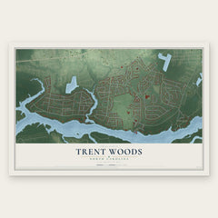


More maps nearby: River Bend, James City, Fairfield Harbour, Pollocksville and Neuse Forest.
The art of mapping a place
How This Map Was Made
Real places. Remarkable detail. Discover the layers that turn geographic data into a map of home.

The view from above
Aerial imagery reveals the character of the land: woodland, open fields, and the patterns of a place.

The shape of the land
Elevation data brings hills, valleys, and subtle changes in the landscape into view.

The details of home
Roads, waterways, and building footprints come together to make the map feel unmistakably local.

Geography becomes art
Considered color, shading, and typography bring the layers together in a map made for your wall.


Process illustrated with Mendon, Massachusetts. Aerial imagery: USDA NAIP. Terrain: USGS 3D Elevation Program. Map details and finished artwork: KNOWOL.
The Details
About This Print
Choose an archival matte print, or a black or white Ayous wood frame. The archival matte print is unframed.
Select your size and finish above to see the matching product image and price.
Materials & Craftsmanship
A contemporary map with the character of a classic atlas, printed on archival matte paper. Optional frames are made from Ayous wood.
Your printed map does not include the watermark shown in the full-map preview.
Shipping & Delivery
Free shipping within the United States. Every print is made to order in the USA.
Buying a gift? Add a note in your cart and we'll include it. We never put prices in the package.
Prints ship within 2 to 3 business days. Allow 7 to 10 days total from ordering for delivery. Timing may vary during holidays or periods of high order volume.
Read our shipping policy.
Returns and damaged prints
Each print is made to order. Change-of-mind refunds are not available after production.
If your print arrives damaged, misprinted or incorrect, contact support@knowol.com within 30 days of receiving it. Include your order number, photos and a description of the issue.
Read our full refund and replacement policy. For questions about your order, email support@knowol.com.