
Search for another town

Free U.S. delivery 7 to 10 days after you order
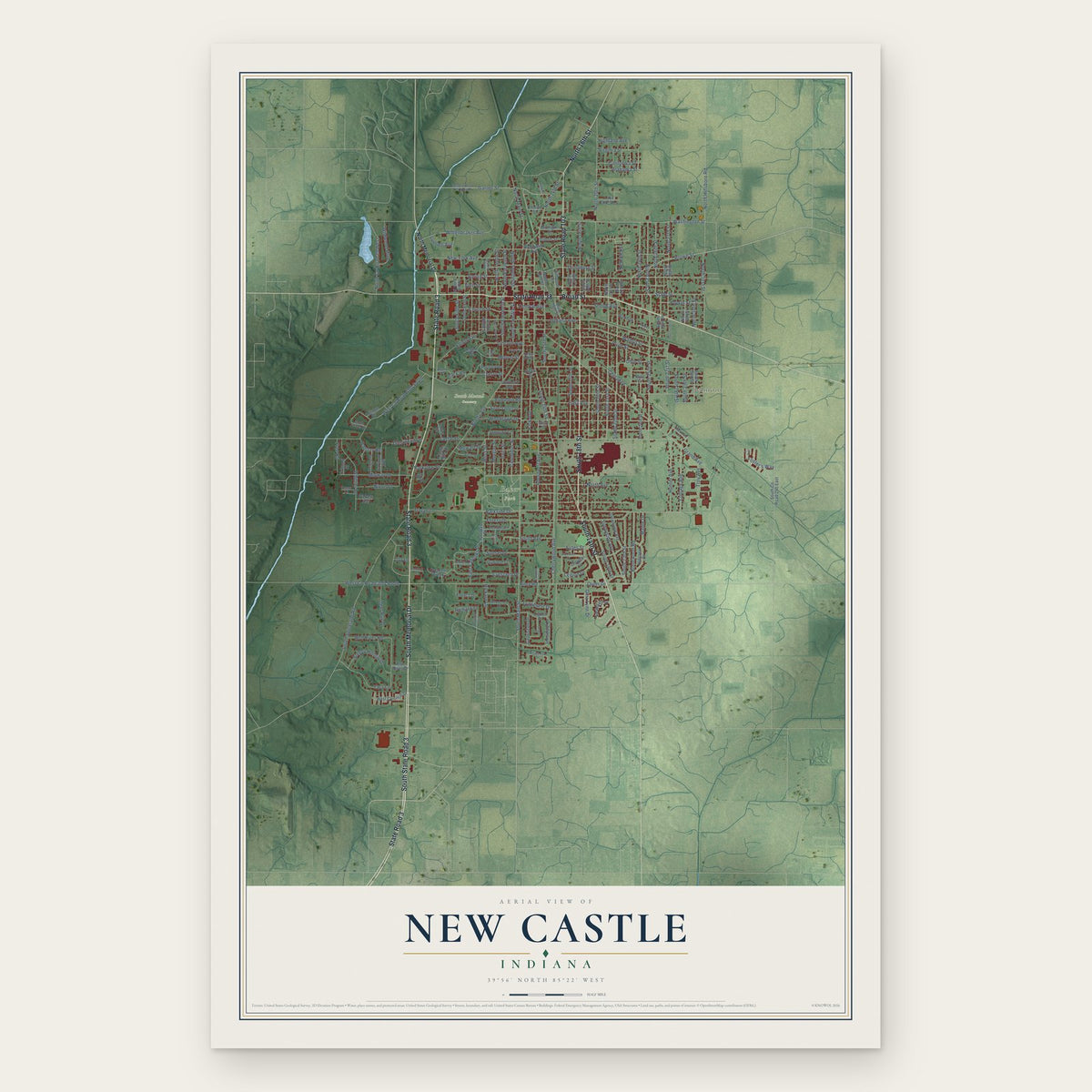
New Castle, Indiana Map Art
Building by building, with labeled streets and shaded relief.
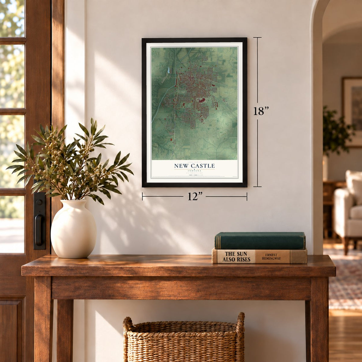
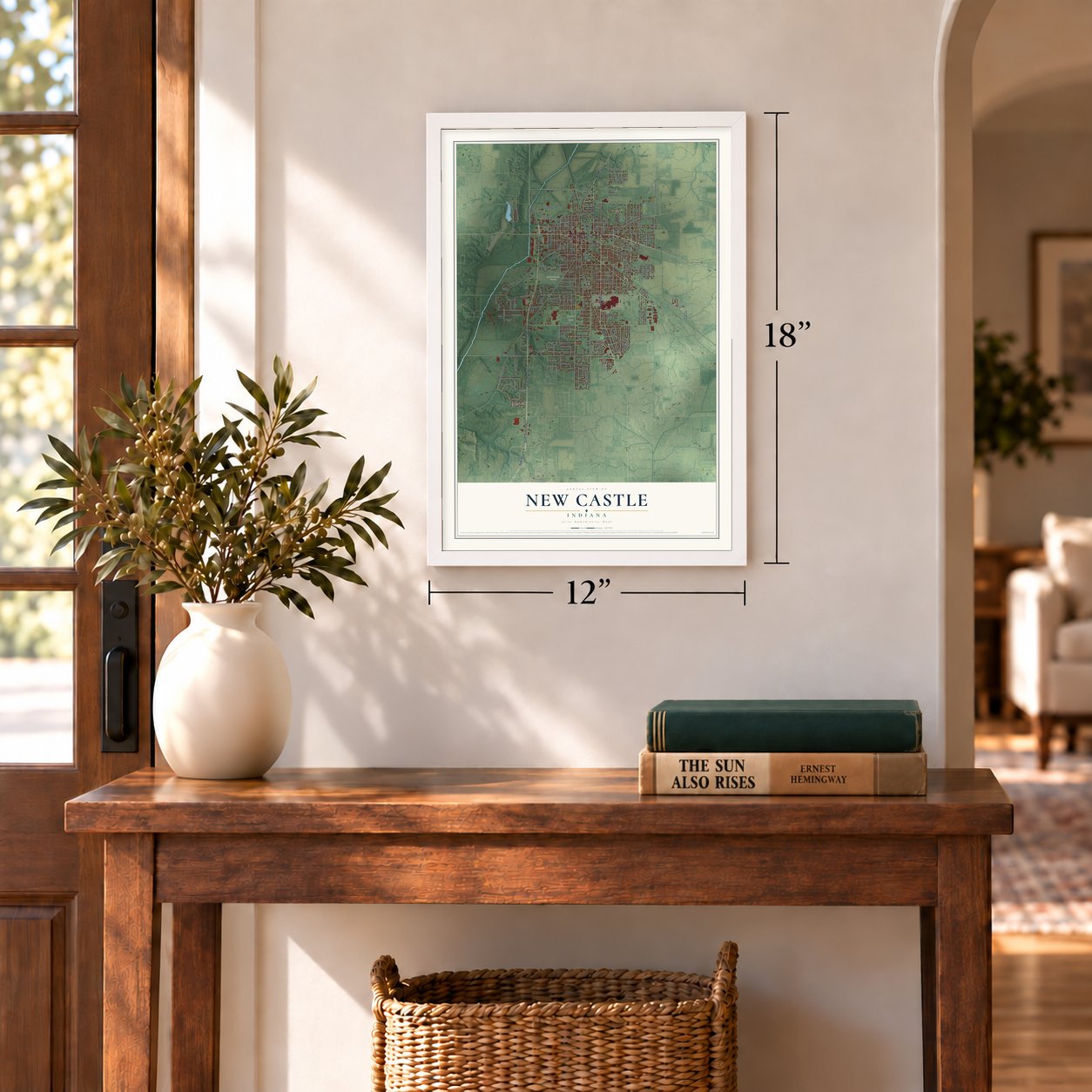
12" x 18" Archival Matte Print
A Map of Home. A Work of Art.
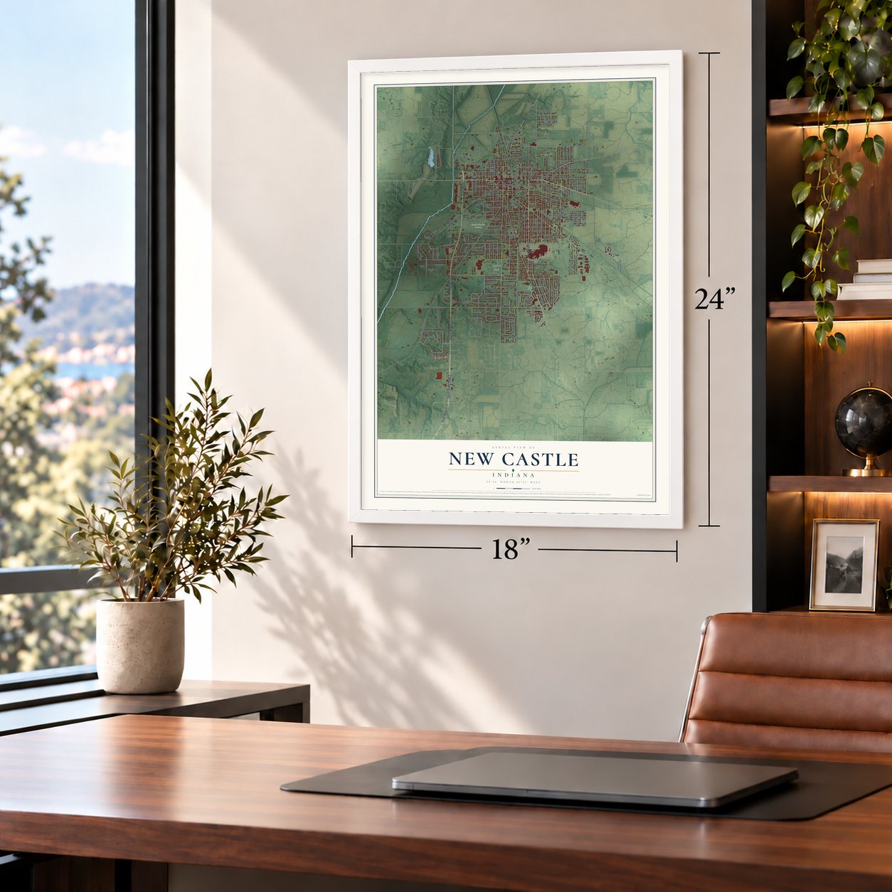
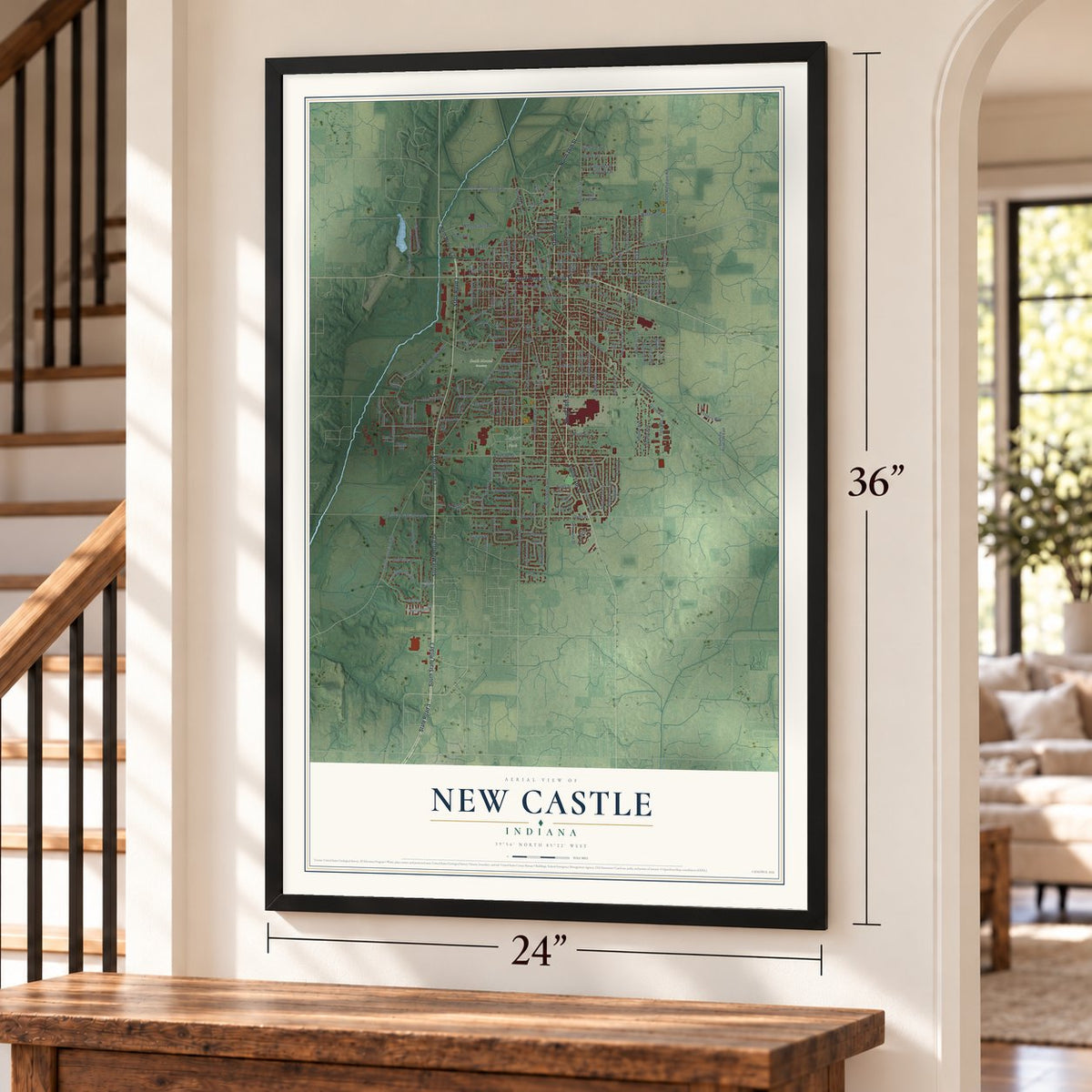
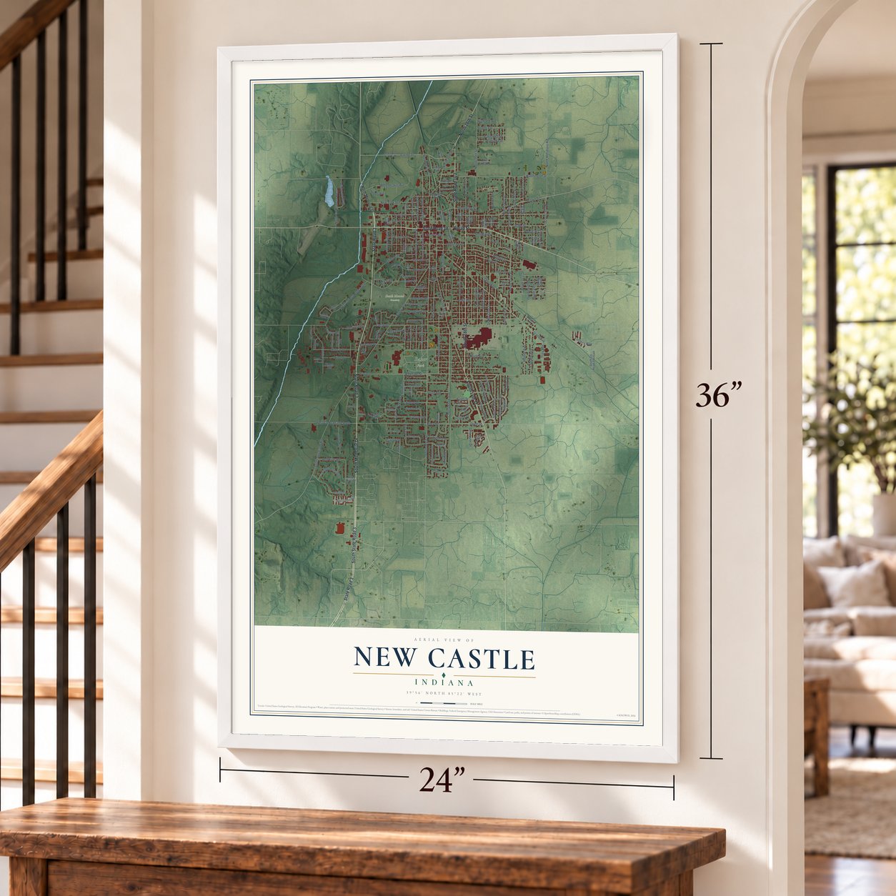
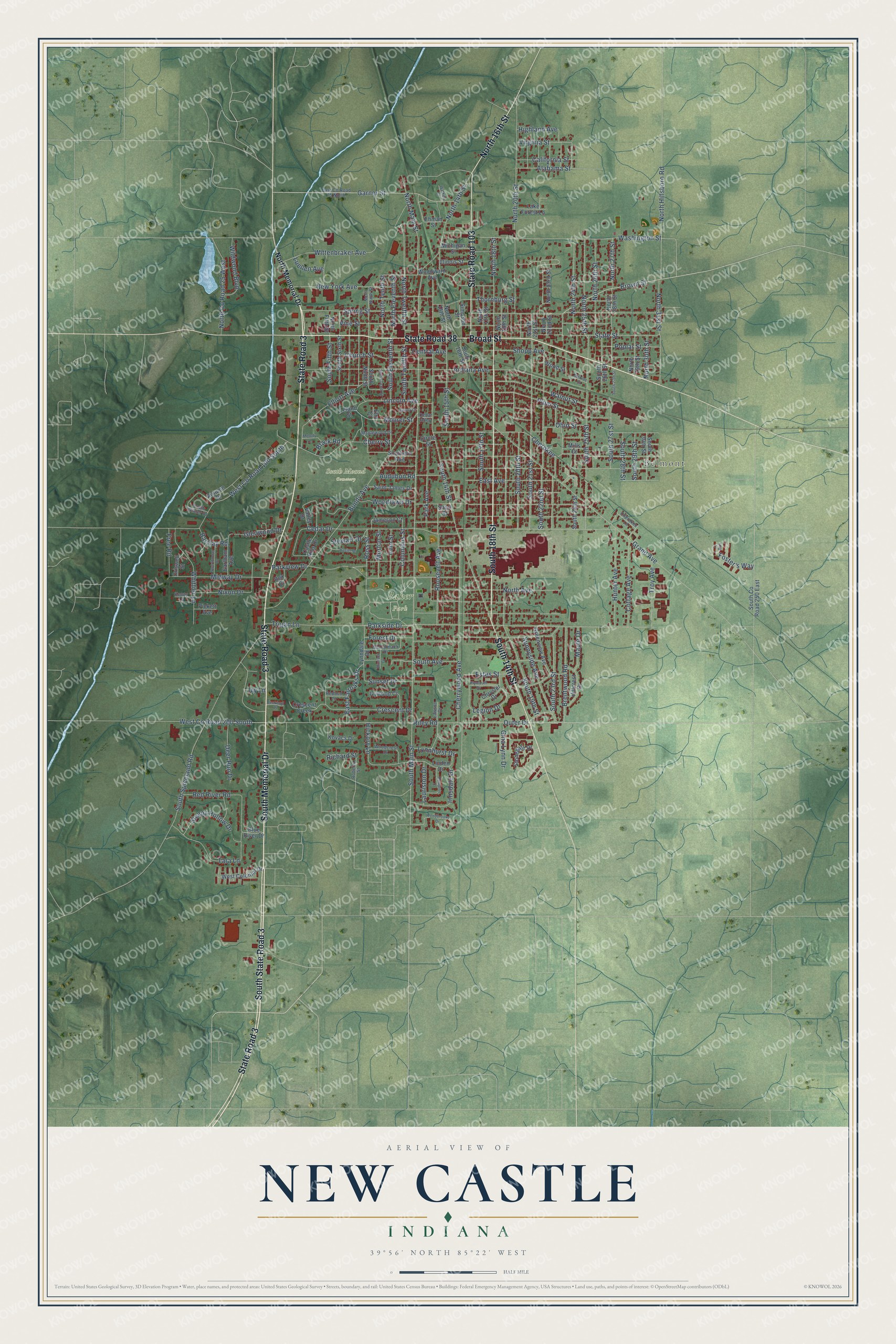
Explore New Castle, Indiana from a whole new perspective. Created using aerial imagery and detailed geographic data, this map captures New Castle building by building, with labeled streets, familiar landmarks, and shaded topographical relief that highlights the natural contours of the landscape.
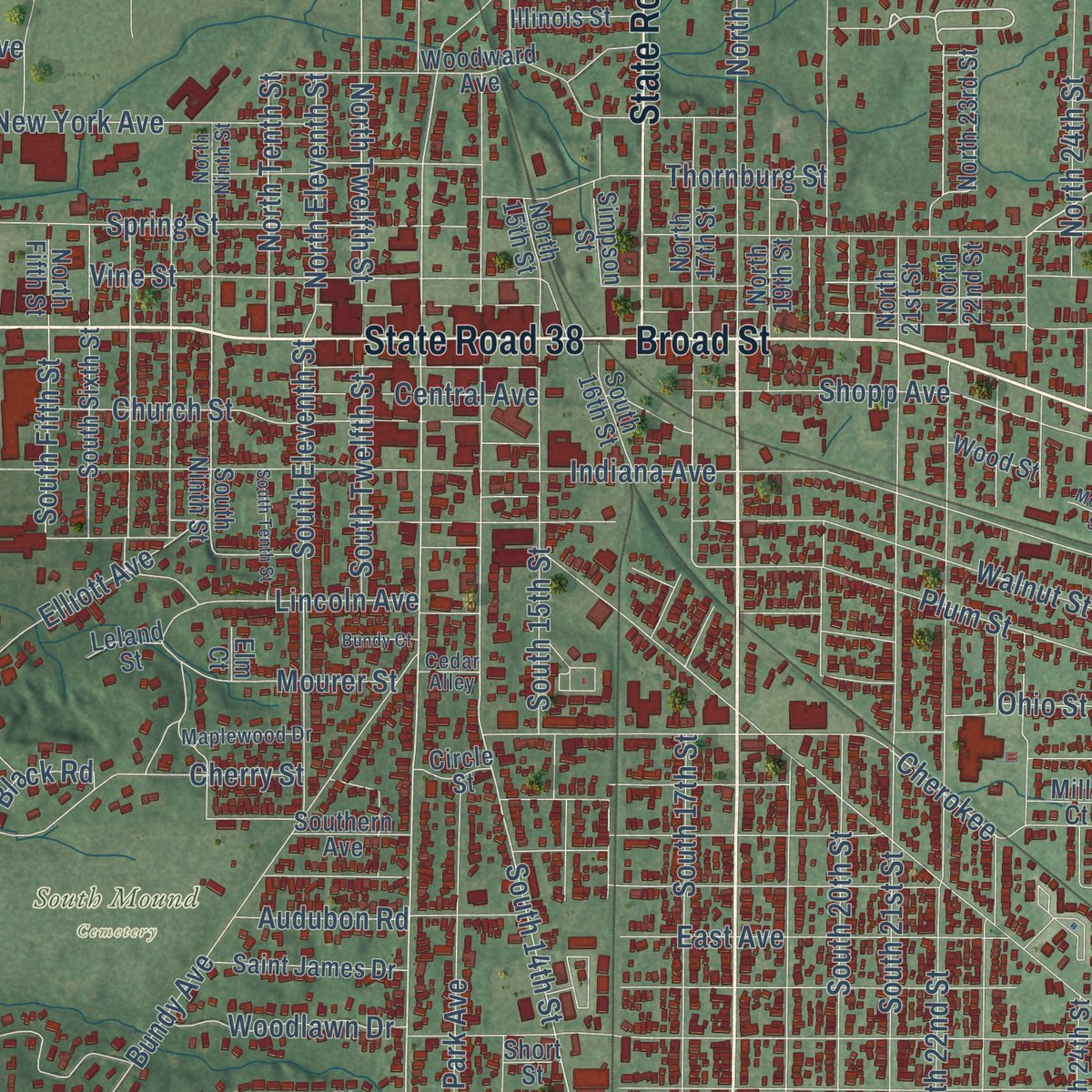
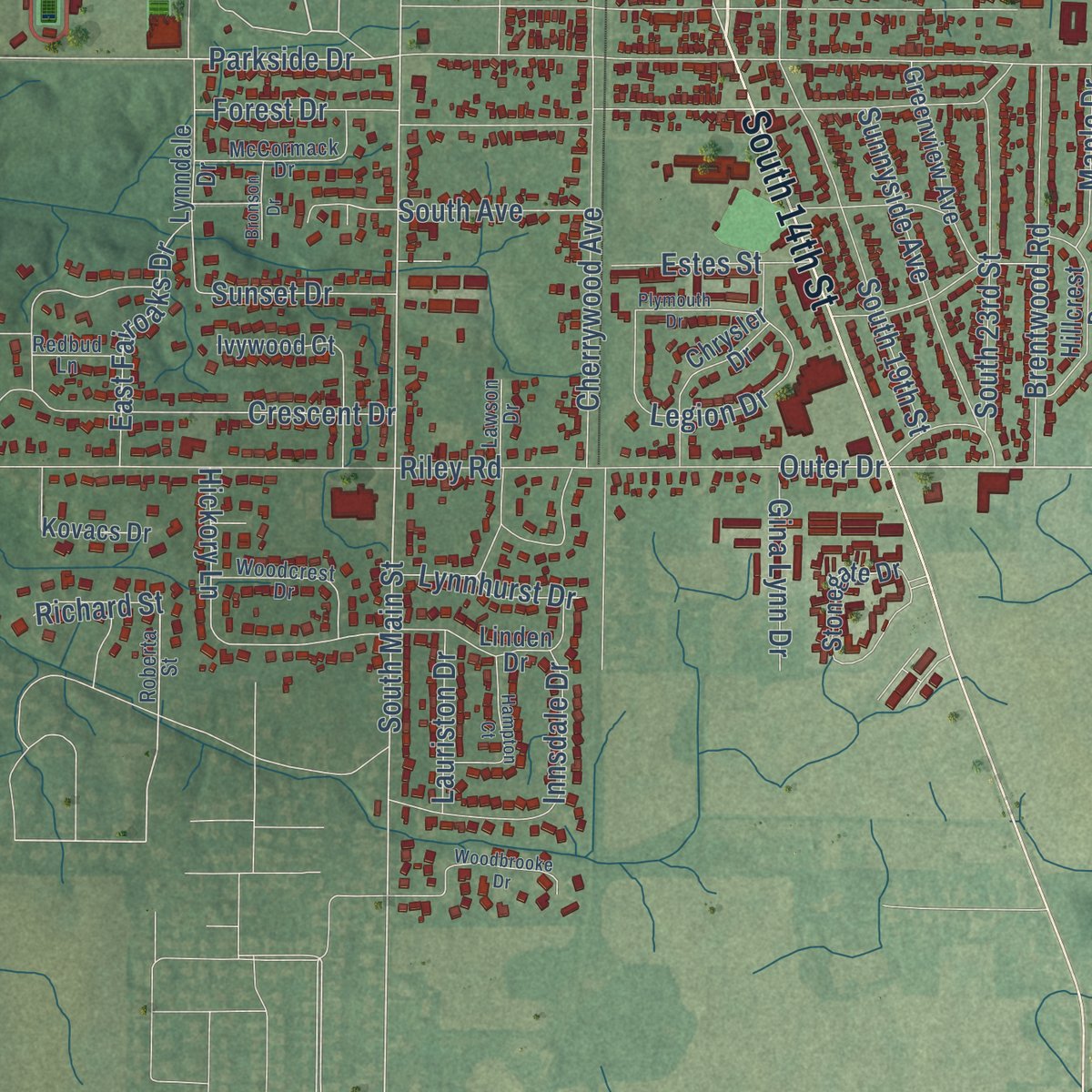
Combining modern data with the timeless character of a vintage atlas, this map is just as interesting up close as it is beautiful on the wall. Whether you grew up in New Castle, spent memorable years there, or call it home today, this unique map is a great way to celebrate a place that means something to you. Zoom in on the preview to look for your street, and then order a print to put your memories on the wall.
Three ways to hang it
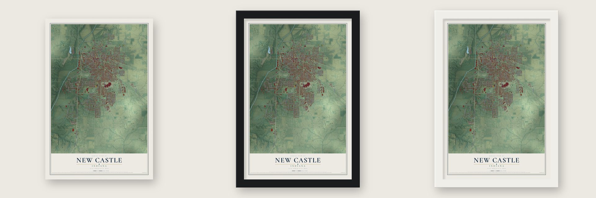
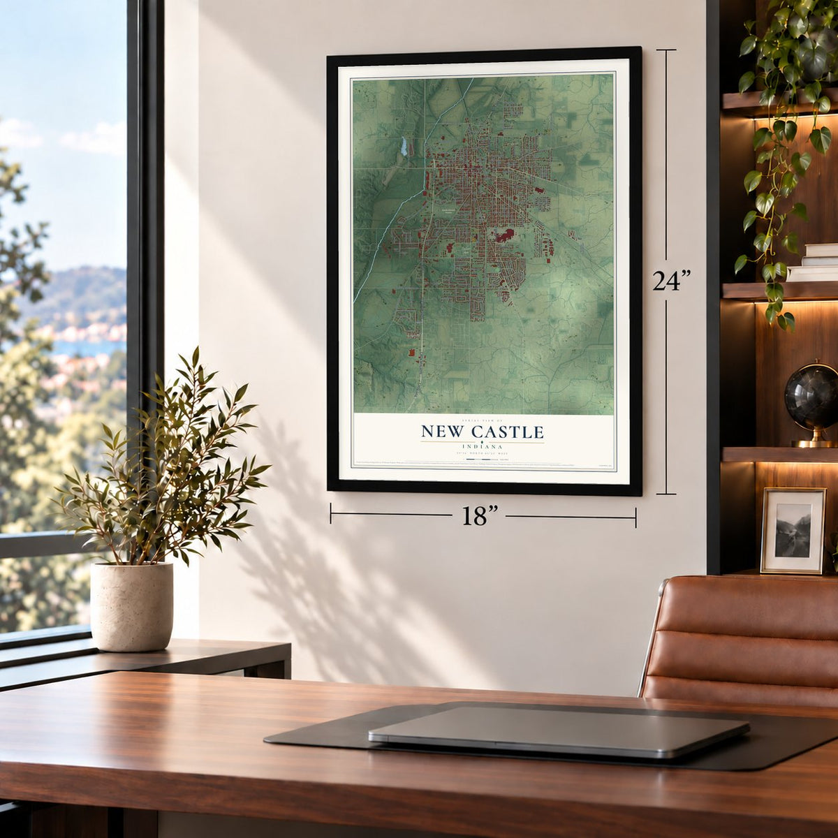
Unframed archival matte, a black wood frame or a white wood frame.
Up close
Geography Worth Displaying
This map was created using accurate cartographic data and authoritative geographic sources, including the U.S. Geological Survey and the Census Bureau. The map brings together terrain, waterways, roads, and building detail. The majority of the streets are labeled, houses are accurately depicted, and the topography is derived from government sources. Combining local data with carefully composed color and shading leads to this beautifully detailed New Castle artwork for your wall.
Rather than simply showing street outlines, we’ve included as many of the street names as we could reasonably fit on the map while keeping their names legible. Zoom in on the high resolution preview to see exactly what’s on the map. We truly set out to create a statement piece for anyone who loves New Castle. So whether it’s for you, or a gift for someone you love, we hope this map of New Castle brings back fond memories.
Read the story behind this map of New Castle, Indiana from 2026.
Find your street
Names on the New Castle map
Every name below is printed on this map. Look for your street, your school, the park where you played, or the pond down the road.
Places and landmarks3
- Belmont
- Baker Park
- South Mound Cemetery
Streets and roads198
- State Road 3
- South Memorial Drive
- South State Road 3
- South 18th Street
- Broad Street
- State Road 103
- State Road 38
- North 16th Street
- South 14th Street
- Brown Street
- Cherokee
- Parkside Drive
- Walnut Street
- South 17th Street
- Garner Street
- Columbus Street
- South Main Street
- North Main Street
- North Twelfth Street
- South Fifth Street
- Riley Road
- Spring Street
- Indiana Avenue
- Grand Avenue
- South 23rd Street
- Vine Street
- Bundy Avenue
- South 19th Street
- Washington Street
- North 20th Street
Show all 198 streets
- South Spiceland Road
- Plum Street
- West County Road 100 South
- South 21st Street
- South 22nd Street
- Cherrywood Avenue
- North 14th Street
- South 25th Street
- North 25th Street
- Thornburg Street
- Roosevelt Avenue
- North 24th Street
- South 15th Street
- South 20th Street
- North Avenue
- State Street
- East Avenue
- Lincoln Avenue
- North 26th Street
- Crescent Drive
- Church Street
- South Eleventh Street
- Parkview Drive
- Wittenbraker Avenue
- Shopp Avenue
- North 31st Street
- Whittier Lane
- New York Avenue
- North 18th Street
- Ross Street
- Cherry Street
- Midway Drive
- West County Road 200 South
- Elliott Avenue
- Trojan Lane
- Hunter Avenue
- North Hillsboro Road
- Brentwood Road
- Innsdale Drive
- Red River Road
- South Twelfth Street
- Cottage Avenue
- Tara Lane
- Nixon Drive
- Hickory Lane
- North 27th Street
- Sunnyside Avenue
- Sleepy Hollow Drive
- Park Avenue
- North County Road 25 West
- Outer Drive
- Wildwood Boulevard
- Troy Avenue
- Alabama Street
- Legion Drive
- Audubon Road
- East Fairoaks Drive
- Cedar Drive
- North Eleventh Street
- North Tenth Street
- South 28th Street
- South 27st Street
- Deer Run Drive
- California Street
- Woodlawn Drive
- Glenwood Drive
- Poplar Street
- Central Avenue
- Virginia Street
- Mourer Street
- Stewart Drive
- Morton Street
- Irvin Street
- Free Road
- Forest Drive
- Gina Lynn Drive
- Lynnhurst Drive
- Sunset Drive
- South 29th Street
- Estes Street
- South Avenue
- Maple Drive
- North 30th Street
- Lauriston Drive
- Highland Avenue
- Foster's Way
- Barclay Road
- Luellen Avenue
- Black Road
- Richard Street
- Ohio Street
- Ivy Lane
- North Memorial Drive
- North 28th Street
- North 23rd Street
- North 22nd Street
- North 19th Street
- Woodward Avenue
- Stonegate Drive
- South 24th Street
- Chrysler Drive
- South 16th Street
- South County Road 250 East
- Lynndale Drive
- Michigan Street
- South Ninth Street
- North 17th Street
- Hillcrest Drive
- Greenview Avenue
- Castle Hills Drive
- Southern Avenue
- North 21st Street
- South Sixth Street
- Jameson Court
- Saint James Drive
- South 30th Street
- West Colonial Drive
- Autumn Drive
- Kovacs Drive
- Earlham Avenue
- North 29th Street
- Linden Drive
- North 15th Street
- Crescent Creek
- Illinois Street
- Lake Forest Lane
- South 26th Street
- Ivywood Court
- Criswell Street
- Simpson Street
- North Fifth Street
- Valley Drive
- Mills Court
- Wood Street
- Pickett Avenue
- Ehman Street
- Blue River Drive
- Rex Court
- Circle Street
- Leland Street
- Short Street
- Elm Court
- Roberta Street
- East County Road 75 North
- South Winter Drive
- North Ninth Street
- McCormack Drive
- Woodcrest Drive
- Maplewood Drive
- Redbud Lane
- Cherokee Lane
- Lawson Drive
- Kenny Lane
- Cedar Alley
- Woodbrooke Drive
- Hosier Drive
- Plymouth Drive
- Hampton Court
- Watkins Street
- South Tenth Street
- Swarthmoor Drive
- South 27th Street
- Melody Lane
- Bronson Drive
- Bundy Court
- Beckford Place
- Monroe Street
- Tj Run
Names are listed as they appear on the printed map. Zoom into the product photos to find them.
About New Castle, Indiana
New Castle is a city of 17,396 people on the Big Blue River, east-northeast of Indianapolis. It was platted in 1823 and named for New Castle, Kentucky. Henry County was organized that same year and quickly picked the new town as its seat, and a post office opened there too. From the start, New Castle was the county's center of trade and government.
The railroad drove the town's next growth. The New Castle & Richmond Railroad put its shops in town in 1854. A year later, Jacob Byer and Henry Clunk, both from Pennsylvania, opened New Castle's first hardware store. In 1907 the Maxwell automobile factory was built here, and at the time it was the biggest car plant in the country. Chrysler later owned and ran it.
- The Rose CityFrom the early 20th century, New Castle was known as the Rose City, and at one point it had 100 florists along with many growers. Its factories also turned out caskets, pianos, scales, bridges, shovels, furniture, bricks, flour, and sheet iron and steel.
- Snowed in at the FieldhouseNew Castle Fieldhouse, at the high school, is the largest high school gym in the world, with seats for 9,325. During a 1961 State Sectional game against Lewisville, snow trapped the fans inside overnight. The next morning a local bakery brought them food, and they heard a church service carried in over the gym's speakers.
- Mounds about 2000 years oldA Native American mound beside New Castle High School dates to about 2000 BP. Its depressions line up with sunrise and sunset at the equinoxes, and with similar mounds tens of miles away. On Elliott Avenue, people found another group of mounds, built sometime between 800 B.C. and A.D 1400.
Keep exploring Indiana
New Castle is one of 1,023 Indiana towns we've mapped. Every dot on the map is a print of its own.
The search covers every state, Indiana first.
Near New Castle
Order 2 or more town maps and save 10%. Shown in the size and finish you picked above, so they hang as a set.
- Westwood 12" x 18" / Archival Matte Print $39.99
- Greensboro 12" x 18" / Archival Matte Print $39.99
- Mount Summit 12" x 18" / Archival Matte Print $39.99
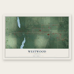
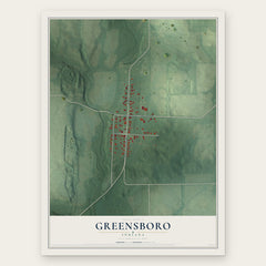
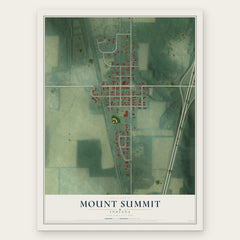
More maps nearby: Spiceland, Millville, Sulphur Springs, Cadiz and New Lisbon.
The art of mapping a place
How This Map Was Made
Real places. Remarkable detail. Discover the layers that turn geographic data into a map of home.

The view from above
Aerial imagery reveals the character of the land: woodland, open fields, and the patterns of a place.

The shape of the land
Elevation data brings hills, valleys, and subtle changes in the landscape into view.

The details of home
Roads, waterways, and building footprints come together to make the map feel unmistakably local.

Geography becomes art
Considered color, shading, and typography bring the layers together in a map made for your wall.


Process illustrated with Mendon, Massachusetts. Aerial imagery: USDA NAIP. Terrain: USGS 3D Elevation Program. Map details and finished artwork: KNOWOL.
The Details
About This Print
Choose an archival matte print, or a black or white Ayous wood frame. The archival matte print is unframed.
Select your size and finish above to see the matching product image and price.
Materials & Craftsmanship
A contemporary map with the character of a classic atlas, printed on archival matte paper. Optional frames are made from Ayous wood.
Your printed map does not include the watermark shown in the full-map preview.
Shipping & Delivery
Free shipping within the United States. Every print is made to order in the USA.
Buying a gift? Add a note in your cart and we'll include it. We never put prices in the package.
Prints ship within 2 to 3 business days. Allow 7 to 10 days total from ordering for delivery. Timing may vary during holidays or periods of high order volume.
Read our shipping policy.
Returns and damaged prints
Each print is made to order. Change-of-mind refunds are not available after production.
If your print arrives damaged, misprinted or incorrect, contact support@knowol.com within 30 days of receiving it. Include your order number, photos and a description of the issue.
Read our full refund and replacement policy. For questions about your order, email support@knowol.com.