
Search for another town
Free U.S. delivery 7 to 10 days after you order
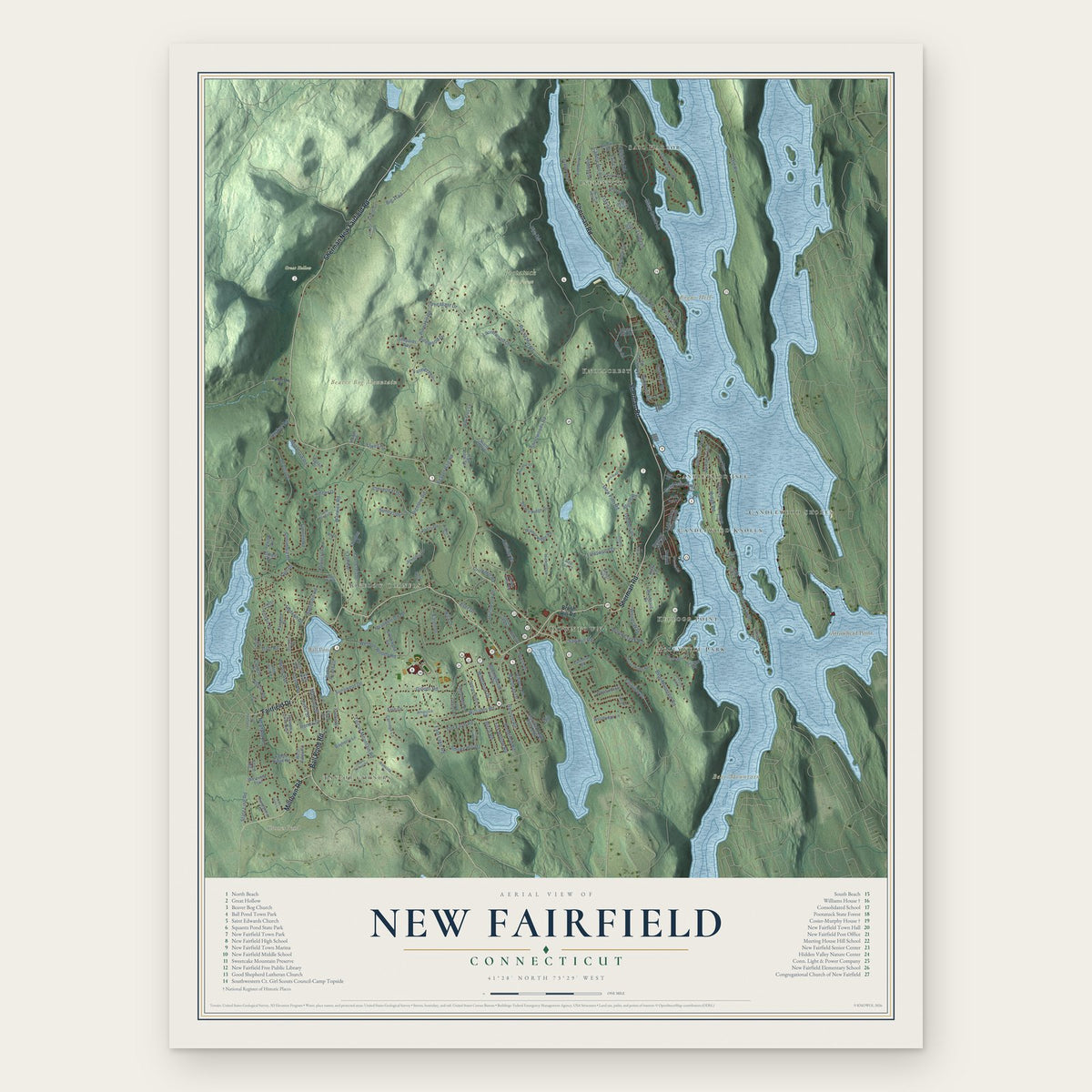
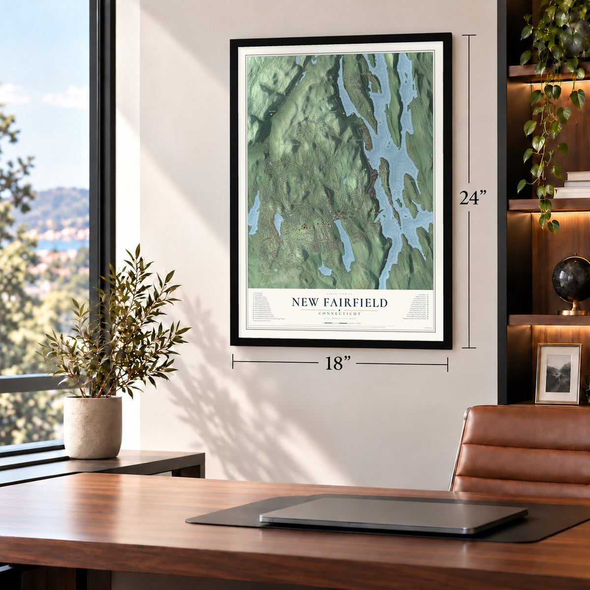
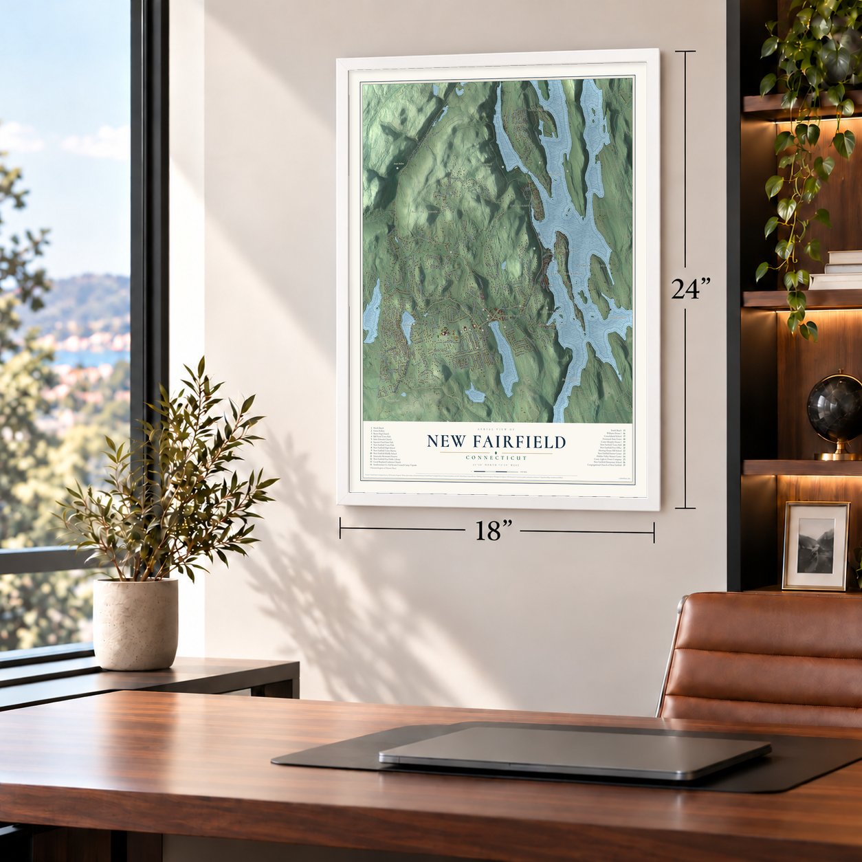
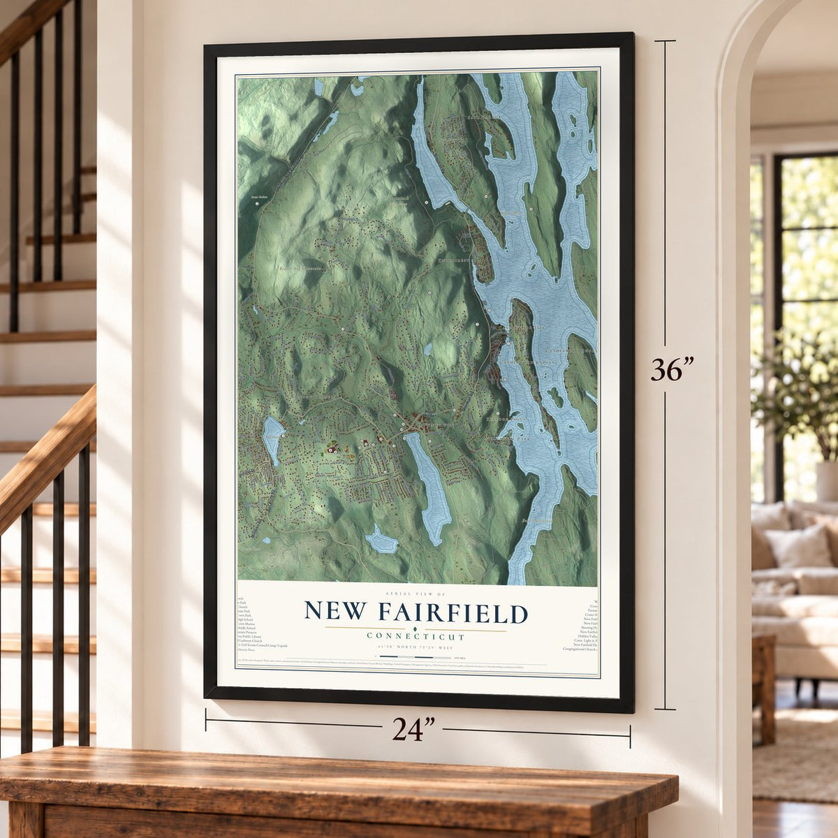
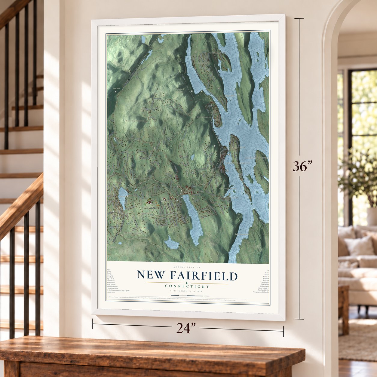
New Fairfield, Connecticut Map Art
Building by building, with labeled streets and shaded relief.
12" x 18" Archival Matte Print
A Map of Home. A Work of Art.
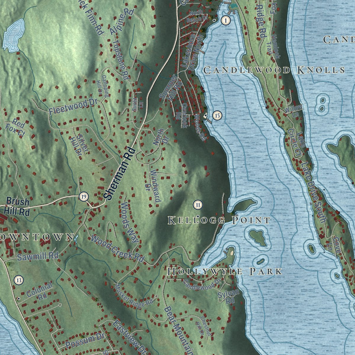
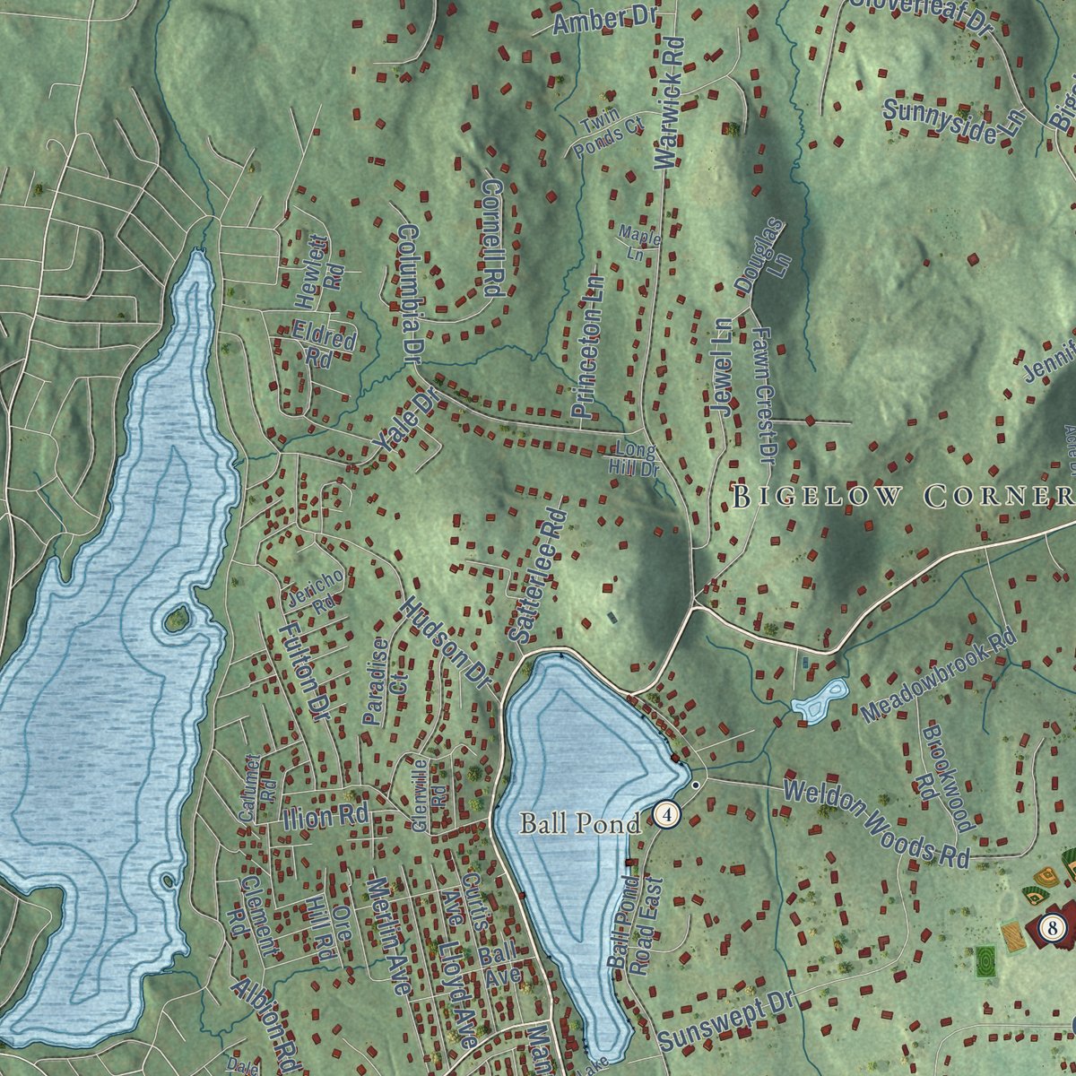
Explore New Fairfield, Connecticut from a whole new perspective. Created using aerial imagery and detailed geographic data, this map captures New Fairfield building by building, with labeled streets, familiar landmarks, and shaded topographical relief that highlights the natural contours of the landscape.
Combining modern data with the timeless character of a vintage atlas, this map is just as interesting up close as it is beautiful on the wall. Whether you grew up in New Fairfield, spent memorable years there, or call it home today, this unique map is a great way to celebrate a place that means something to you. Zoom in on the preview to look for your street, and then order a print to put your memories on the wall.

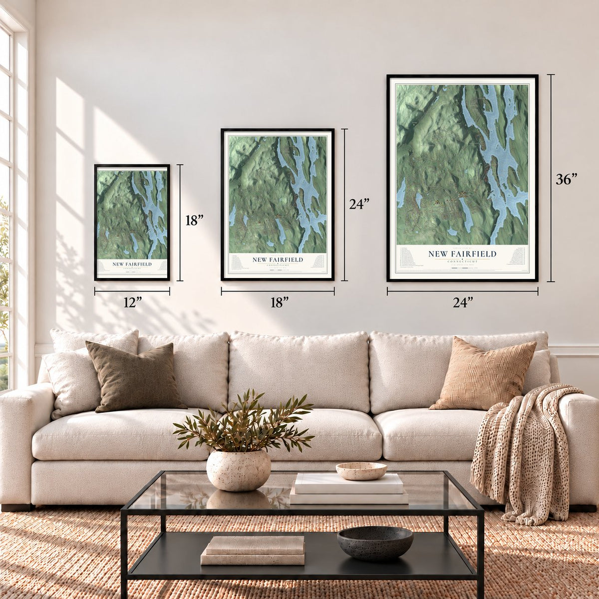
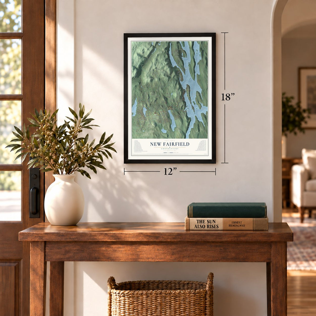
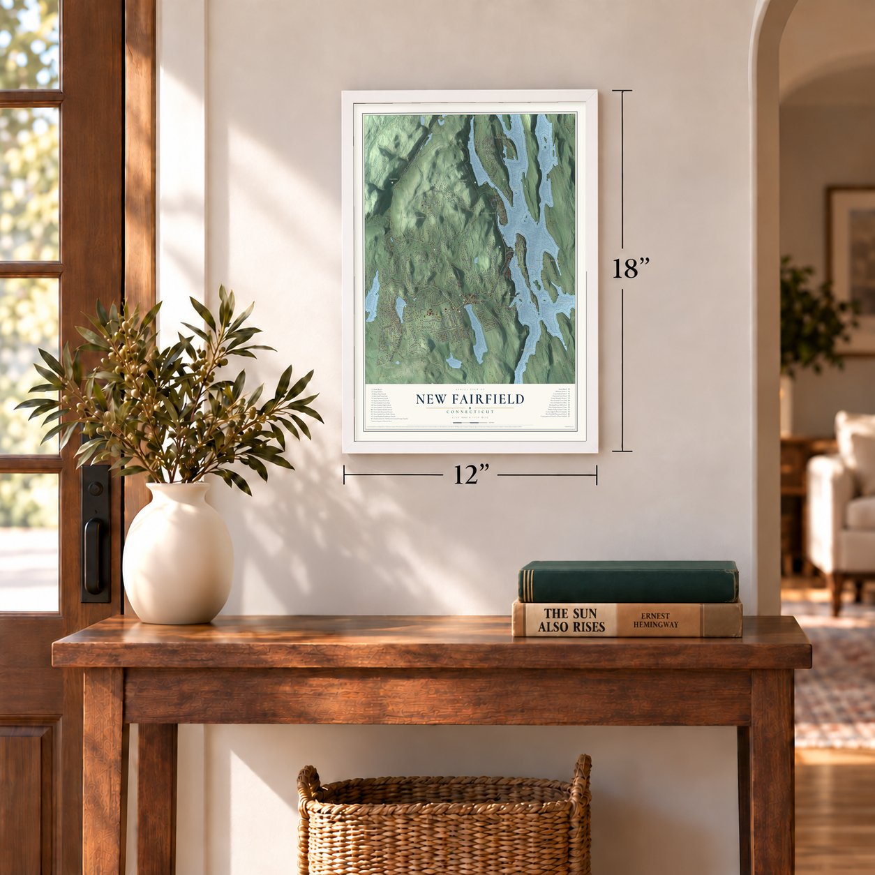
Three ways to hang it
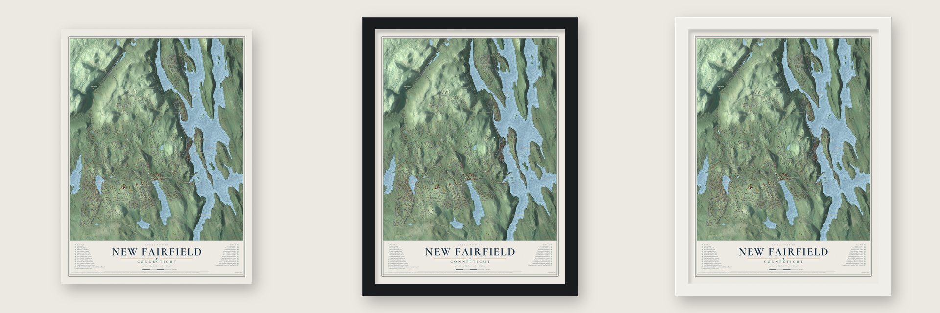
Unframed archival matte, a black wood frame or a white wood frame.
Up close
Geography Worth Displaying
This map was created using accurate cartographic data and authoritative geographic sources, including the U.S. Geological Survey (USGS) and FEMA. The map brings together terrain, waterways, roads, and building detail. The majority of the streets are labeled, houses are accurately depicted, and the topography is derived from government sources. Combining local data with carefully composed color and shading leads to this beautifully detailed New Fairfield artwork for your wall.
Rather than simply showing street outlines, we’ve included as many of the street names as we could reasonably fit on the map while keeping their names legible. Zoom in on the high resolution preview to see exactly what’s on the map. We truly set out to create a statement piece for anyone who loves New Fairfield. So whether it’s for you, or a gift for someone you love, we hope this map of New Fairfield brings back fond memories.
Explore the full map of New Fairfield, Connecticut and read about the local places it shows.
Find your street
Names on the New Fairfield map
Every name below is printed on this map. Look for your street, your school, the park where you played, or the pond down the road.
Places and landmarks19
- Downtown
- Arrowhead Point
- Bear Mountain
- Beaver Bog Mountain
- Bogus Hill
- Ball Pond
- Corner Pond
- Great Hollow
- Pootatuck State Forest
- Sail Harbor
- Candlewood Isle
- Hollywyle Park
Show all 19 places
- Candlewood Knolls
- Knollcrest
- Inglenook
- Bigelow Corners
- Candlewood Shores
- Taylor Corners
- Kellogg Point
Streets and roads194
- Ball Pond Road
- Sherman Road
- Sherman New Fairfield Road
- Milltown Road
- Fairfield Drive
- Possum Drive
- Macbean Drive
- Bigelow Road
- Shortwoods Road
- Fire Road
- Pine Hill Road
- Gillotti Road
- Lake Drive South
- Warwick Road
- Dick Finn Road
- Beaver Bog Road
- Rita Drive
- Wood Creek Road
- Fleetwood Drive
- Candle Hill Road
- Bogus Hill Road
- Hillside Drive
- Misty Brook Lane
- Barnum Road
- Old Road
- Weldon Woods Road
- Smoke Hill Drive
- Linda Lane
- Rocky Hill Road
- State Line Road
Show all 194 streets
- East Lake Road
- Columbia Drive
- Titicus Mountain Road
- Hudson Drive
- Cloverleaf Drive
- Old Farm Road
- Williams Road
- Mill Pond Road
- Sunset Drive
- Jeremy Drive
- Bear Mountain Road
- Sunswept Drive
- Ridge Road
- Sawmill Road
- Overbrook Drive
- Eastview Drive
- Sunset Trail
- Ilion Road
- Erin Drive
- Farmers Lane
- Jewel Lane
- Fulton Drive
- Middleton Drive
- Cornell Road
- Merlin Avenue
- Quaker Road
- Inglenook Drive
- Lavelle Avenue
- Pheasant Drive
- Brush Drive
- Woods Way
- Pinewood Drive
- Cand Isle Causeway
- Lloyd Avenue
- Alpine Road
- Newfane Road
- Flak Lane
- Windmill Road
- Birch Road
- Karen Drive
- Fox Hollow Road
- Pondfield Road
- Hilldale Road
- Satterlee Road
- Yale Drive
- Big Trail
- Princeton Lane
- Laurelwood Drive
- Sunnyside Lane
- Manning Street
- Fair Lane
- Amber Drive
- Pettit Street
- Eastview Road
- Croix Hill Road
- Elwell Road
- Joels Drive
- Renda Street
- Albion Road
- Evet Drive
- Brush Hill Road
- Westview Trail
- Heron View Road
- Ball Pond Road East
- Lake Drive North
- Fawn Crest Drive
- Oak Tree Lane
- Sail Harbour Drive
- Margerie Drive
- Charcoal Ridge Road East
- West Ridge Road
- Meadowbrook Road
- Indian Hill Road
- Deer Run
- Lakeshore Drive North
- Fox Run
- Spruce Ridge Drive
- Carriage Lane
- Curtis Avenue
- Jennifer Road
- Hickory Lane
- Douglas Lane
- Brookwood Road
- High View Terrace
- Brook Drive
- Walnut Ridge Road
- Indian Hill Lane
- Laurel Lane
- Bayberry Lane
- Bauer Road
- Saddle Ridge Road
- Meetinghouse Hill Circle
- Hillview Drive East
- Woodridge Lane
- Cypress Street
- Knollcrest Road
- Summer Hill Road
- Topstone Road
- Glen Drive
- Ball Avenue
- Lakeview Drive
- Sylvan Road
- Hewlett Road
- Frisbie Street
- Windward Drive
- Colonial Road
- Austin Drive
- Shepards Way
- Paradise Court
- Fieldstone Drive
- Lake Circle Court
- Joyce Hill Road
- Ore Hill Road
- Clement Road
- Silver Hill Drive
- Eldred Road
- North Forty Drive
- North Drive
- Handol Lane
- Red Fox Court
- Cove Lane
- High Trail
- Flora Street
- Kearn Road
- Elly Road
- Hemlock Trail
- Musket Ridge Road
- Madeline Drive
- Sherry Lane
- Peaceful Drive
- Old Orchard Road
- Candlewood Drive
- Overlook Road
- Bridge View Drive
- Squantz View Drive
- Cherry Drive
- Twin Ponds Court
- Bay Drive
- Whipstick Road
- Butternut Lane
- Woods Road
- Jericho Road
- Glenville Road
- Leonard Drive
- Calumet Road
- Birch Drive
- Long Hill Drive
- Willow Lane
- Patterson Road
- Lafayette Road
- Rock Ridge Court
- Timber Springs Road
- Chestnut Hill Drive
- Galloping Hill Drive
- Lake Drive
- Cold Spring Drive
- West Farms Lane
- North Beach Drive
- Lost Acre Trail
- High Acre Drive
- East Lane
- Sunlit Lane
- Dale Road
- Maple Lane
Names are listed as they appear on the printed map. Zoom into the product photos to find them.
About New Fairfield, Connecticut
New Fairfield is a town of 13,579 people in Fairfield County, on the New York line beside Candlewood Lake. In 1724 settlers from Fairfield won the General Assembly's approval for a new township, and in the spring of 1725 they came back to deal with Chief Squantz of the Schaghticoke. Squantz had died over the winter, and his four sons would not put their names to the deeds.
The settlers waited four years. In 1729 they recorded a deed for about 31,000 acres, covering today's New Fairfield and Sherman, marked by other Native people who may have had no right to sell the land. The town, first spelled Newfairfield, was incorporated in 1740. In 1777, when the British burned Danbury, that town's probate records were saved by carrying them here.
- Two parishes, then two townsThe 1740 vote creating New Fairfield also split the long town into two parishes. Church travel stayed hard, and in 1802 the upper parish became the town of Sherman.
- Hats, chairs and wagonsFarming came first, but the town's streams powered small shops. In 1818 New Fairfield had a tannery, two carding machines, a grain mill and a fulling mill. By 1845 it had factories for hats and caps, chairs and combs, along with two wagon and sleigh shops, and wagons were still built here in 1901.
- A valley flooded in 1926In 1890 the farm town had 670 people, and the Big Basin's woods fed a small timber trade. On July 15, 1926, the Connecticut Light and Power board approved the nation's first large-scale pumped storage plan, and the plan put the basin under water. The result, Candlewood Lake, covers 8.4 square miles, more than any other lake in Connecticut.
- The first Catholic MassThe Cosier-Murphy House, a Greek Revival house on Route 39, was built about 1840. Daniel Murphy, an Irish immigrant living next door, bought it from Cosier's widow, and his descendants owned it until 1970. Family tradition holds that New Fairfield's first Roman Catholic Mass was said in the house about 1880. It joined the National Register in 1991.
- A farmhouse without recordsThe Williams House on Williams Road is a farmhouse that mixes Federal and Greek Revival features, with wide chestnut floors. An 1835 deed names Benjamin Carl as the first known person to live there. It joined the National Register in 2014.
Keep exploring Connecticut
New Fairfield is one of 375 Connecticut towns we've mapped. Every dot on the map is a print of its own.
The search covers every state, Connecticut first.
Near New Fairfield
Order 2 or more town maps and save 10%. Shown in the size and finish you picked above, so they hang as a set.
- Candlewood Knolls 12" x 18" / Archival Matte Print $39.99
- Bigelow Corners 12" x 18" / Archival Matte Print $39.99
- Kellogg Point 12" x 18" / Archival Matte Print $39.99
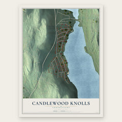
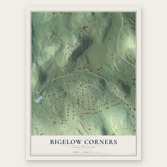
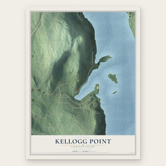
More maps nearby: Knollcrest, Candlewood Isle, Bogus Hill, Ball Pond and Candlewood Shores.
The art of mapping a place
How This Map Was Made
Real places. Remarkable detail. Discover the layers that turn geographic data into a map of home.

The view from above
Aerial imagery reveals the character of the land: woodland, open fields, and the patterns of a place.

The shape of the land
Elevation data brings hills, valleys, and subtle changes in the landscape into view.

The details of home
Roads, waterways, and building footprints come together to make the map feel unmistakably local.

Geography becomes art
Considered color, shading, and typography bring the layers together in a map made for your wall.


Process illustrated with Mendon, Massachusetts. Aerial imagery: USDA NAIP. Terrain: USGS 3D Elevation Program. Map details and finished artwork: KNOWOL.
The Details
About This Print
Choose an archival matte print, or a black or white Ayous wood frame. The archival matte print is unframed.
Select your size and finish above to see the matching product image and price.
Materials & Craftsmanship
A contemporary map with the character of a classic atlas, printed on archival matte paper. Optional frames are made from Ayous wood.
Your printed map does not include the watermark shown in the full-map preview.
Shipping & Delivery
Free shipping within the United States. Every print is made to order in the USA.
Buying a gift? Add a note in your cart and we'll include it. We never put prices in the package.
Prints ship within 2 to 3 business days. Allow 7 to 10 days total from ordering for delivery. Timing may vary during holidays or periods of high order volume.
Read our shipping policy.
Returns and damaged prints
Each print is made to order. Change-of-mind refunds are not available after production.
If your print arrives damaged, misprinted or incorrect, contact support@knowol.com within 30 days of receiving it. Include your order number, photos and a description of the issue.
Read our full refund and replacement policy. For questions about your order, email support@knowol.com.