
Search for another town



Free U.S. delivery 7 to 10 days after you order
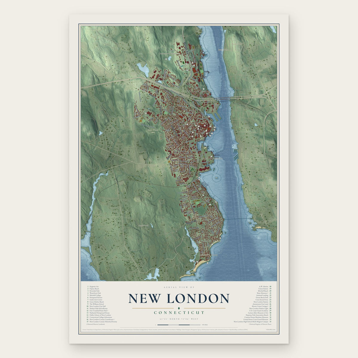
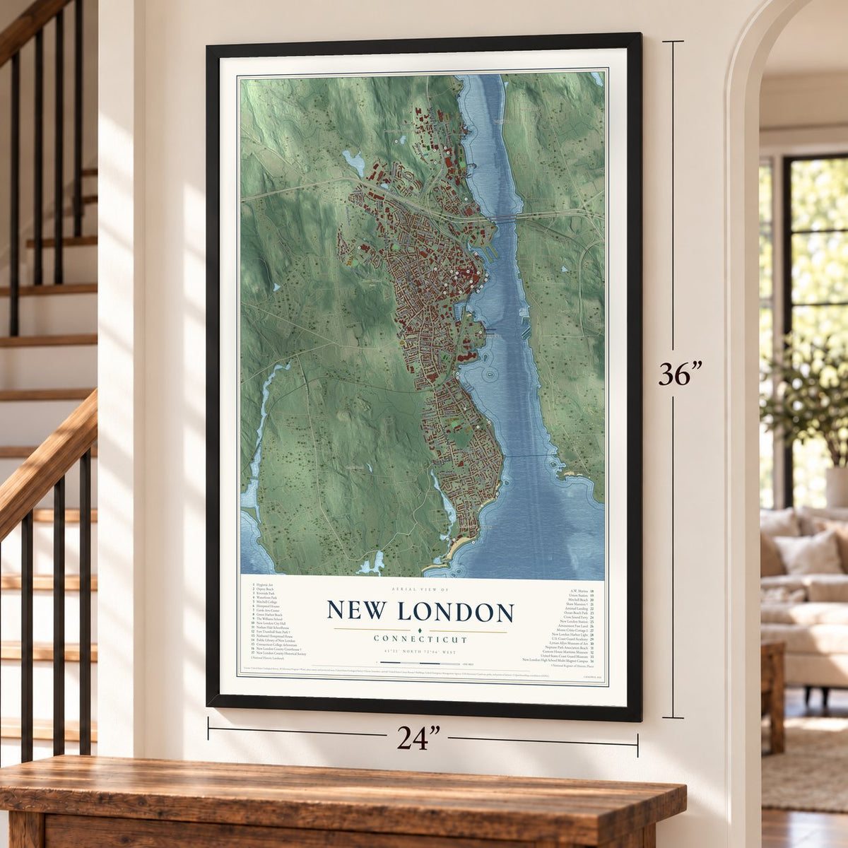
New London, Connecticut Map Art
Building by building, with labeled streets and shaded relief.
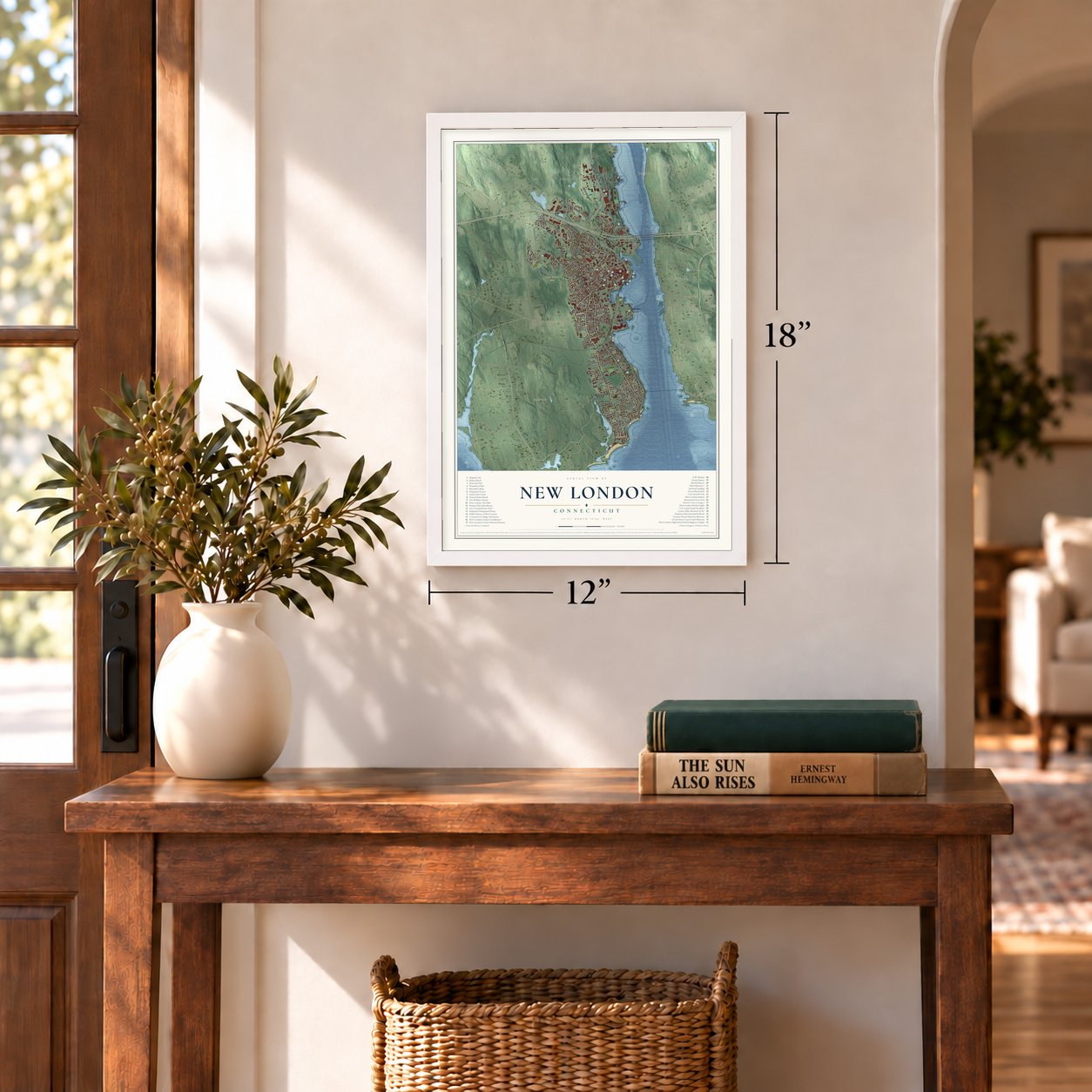
12" x 18" Archival Matte Print
A Map of Home. A Work of Art.
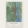
Explore New London, Connecticut from a whole new perspective. Created using aerial imagery and detailed geographic data, this map captures New London building by building, with labeled streets, familiar landmarks, and shaded topographical relief that highlights the natural contours of the landscape.
Combining modern data with the timeless character of a vintage atlas, this map is just as interesting up close as it is beautiful on the wall. Whether you grew up in New London, spent memorable years there, or call it home today, this unique map is a great way to celebrate a place that means something to you. Zoom in on the preview to look for your street, and then order a print to put your memories on the wall.

Three ways to hang it
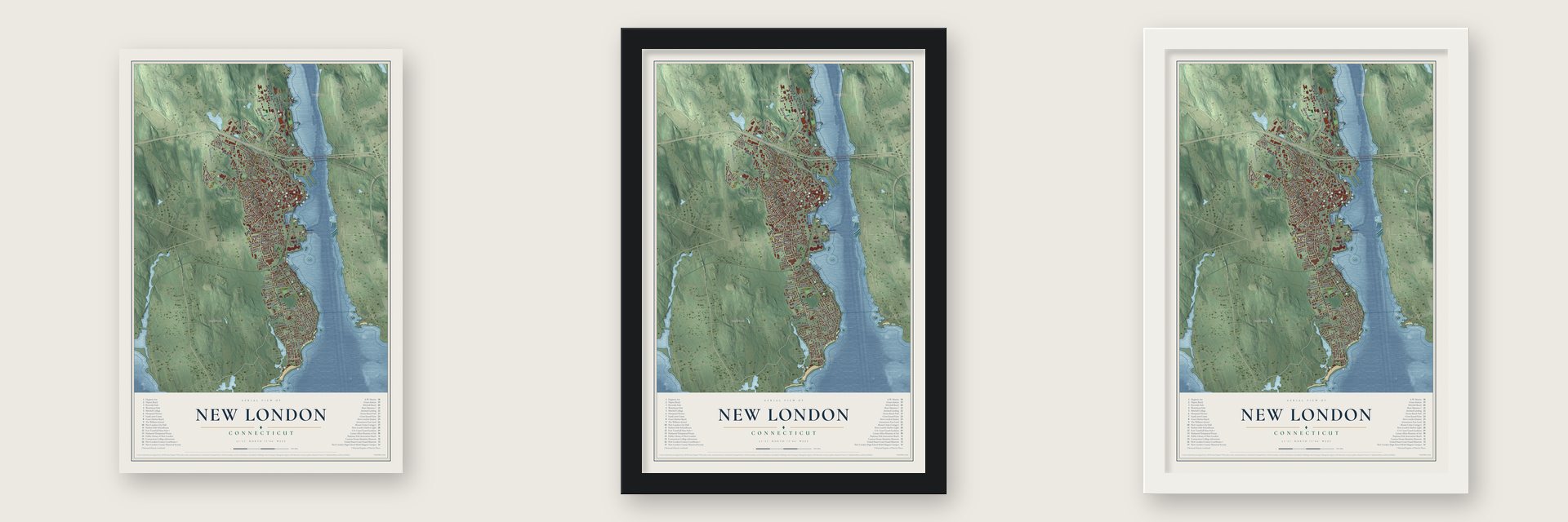
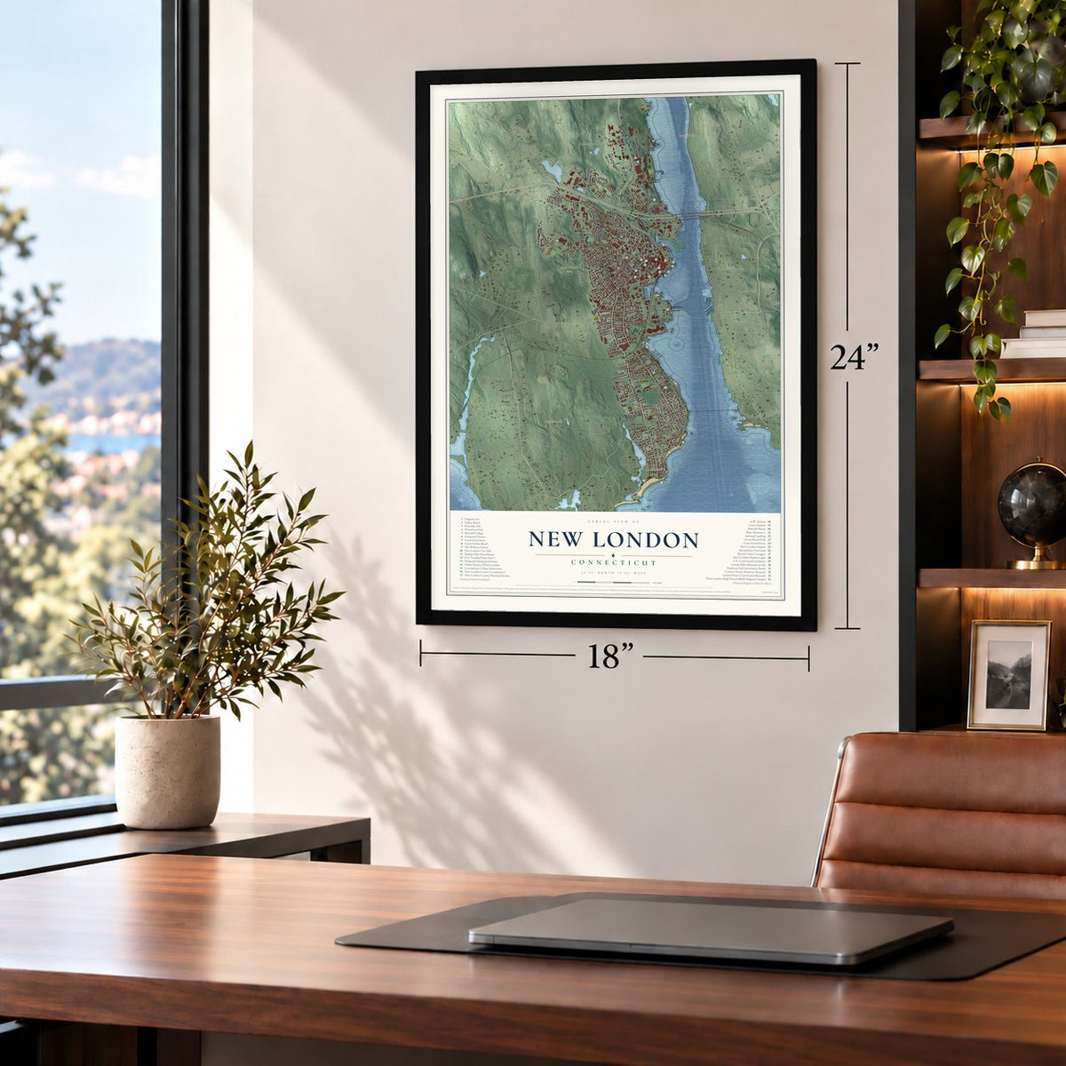
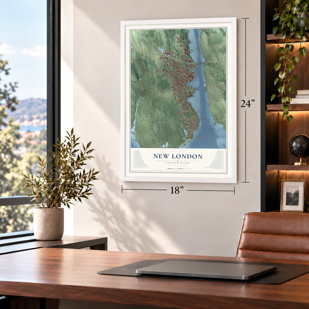
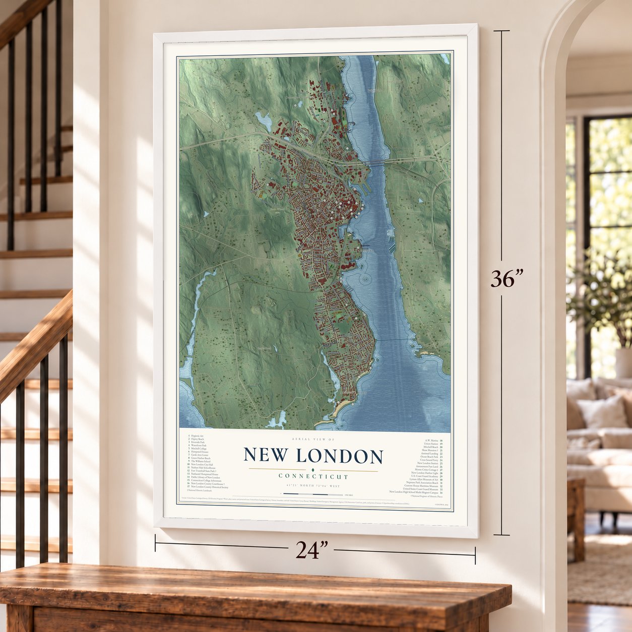
Unframed archival matte, a black wood frame or a white wood frame.
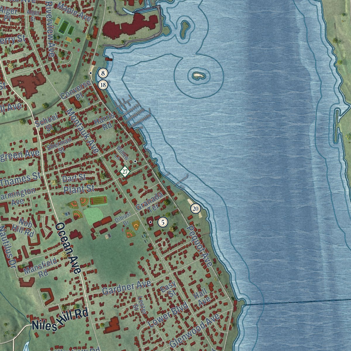
Up close
Geography Worth Displaying
This map was created using accurate cartographic data and authoritative geographic sources, including the U.S. Geological Survey (USGS) and FEMA. The map brings together terrain, waterways, roads, and building detail. The majority of the streets are labeled, houses are accurately depicted, and the topography is derived from government sources. Combining local data with carefully composed color and shading leads to this beautifully detailed New London artwork for your wall.
Rather than simply showing street outlines, we’ve included as many of the street names as we could reasonably fit on the map while keeping their names legible. Zoom in on the high resolution preview to see exactly what’s on the map. We truly set out to create a statement piece for anyone who loves New London. So whether it’s for you, or a gift for someone you love, we hope this map of New London brings back fond memories.
Explore the full map of New London, Connecticut and read about the local places it shows.
Find your street
Names on the New London map
Every name below is printed on this map. Look for your street, your school, the park where you played, or the pond down the road.
Places and landmarks11
- Downtown
- Averys Hill
- Bailey Hill
- Bailey Point
- Banks Pond
- Connecticut College Pond
- Bates Woods Park
- Osprey Beach
- Fort Trumbull
- East New London
- Neptune Park
Streets and roads138
- Jefferson Avenue
- Niles Hill Road
- Mohegan Avenue
- Bank Street
- Colman Street
- Broad Street
- Ocean Avenue
- South Frontage Road
- Huntington Street
- North Frontage Road
- Vauxhall Street
- Water Street
- Pequot Avenue
- Trumbull Street
- Howard Street
- Crest Street
- Lincoln Avenue
- Montauk Avenue
- Williams Street
- Glenwood Avenue
- Crystal Avenue
- Connecticut Avenue
- State Pier Road
- Bayonet Street
- Gardner Avenue
- Lower Boulevard
- Briggs Street
- Willetts Avenue
- Thames Street
- Elm Street
Show all 138 streets
- Shaw Street
- Ledyard Street
- Hawthorne Drive
- Harriet Lane
- Norwood Avenue
- Ashcraft Road
- Plant Street
- Admiral Drive
- Squire Street
- Chester Street
- Cove View Road
- Nautilus Drive
- Viets Street
- Blackhall Street
- Laurel Drive
- Riverview Avenue
- Oneco Avenue
- Michael Road
- Summer Street
- Evergreen Avenue
- West Street
- Waller Street
- Bishop Street
- Granite Street
- Tampa
- Third Avenue
- Cutler Street
- Dell Avenue
- Gorton Street
- State Pier
- Coit Street
- Ledge Road
- Henry Street
- Dow Street
- Perry Street
- Lee Avenue
- Ann Street
- Alger Place
- Bates Woods Park Road
- Eugene Oneill Drive
- Shaws Cv
- Parkway South
- School Street
- Lewis Street
- Federal Street
- Hawthorne Drive North
- Blydenburg Avenue
- Smith Street
- Mansfield Road
- West Coit Street
- Farmington Avenue
- Walden Avenue
- Raymond Street
- Green Street
- Morgan Street
- Brainard Street
- Woodlawn Road
- Denison Avenue
- Grove Street
- Sunset Street
- Jay Street
- Maple Avenue
- Park Street
- Fitch Avenue
- Nob Hill Road
- Phillips Street
- Granada Terrace
- Hall Avenue
- Harris Road
- Fifth Avenue
- Dart Street
- Converse Place
- Jerome Road
- Mahan Street
- Carroll Court
- Fourth Street
- Easy Street
- Cedar Grove Avenue
- Garfield Avenue
- Bear Drive
- Redden Avenue
- Sherman Street
- Mott Avenue
- Lester Street
- Cole Street
- Gallows Lane
- Moore Avenue
- Bristol Street
- Buchanan Drive
- 16th Street
- Goshen Street
- Darrow Street
- Fowler Court
- Garvin Street
- Eldane Street
- Washington Street
- Anthony Road
- Winthrop Street
- Saltonstall Street
- Central Avenue
- Chappell Street
- Hope Street
- Dibiasi Drive
- Alger Street
- Willow Lane
- Gordon Court
- Harris Street
- Holly Terrace
Names are listed as they appear on the printed map. Zoom into the product photos to find them.
About New London, Connecticut
New London is a seaport city of 27,367 people in New London County, where the Thames River empties into Long Island Sound. The Pequot knew the place as Nameaug, and John Winthrop Jr. started an English settlement there in 1646. In the 1650s the settlers asked for the name London, while the General Assembly preferred Faire Harbour. The settlers answered that they would sooner stay Nameaug, the Assembly backed down, and on March 24, 1658, the town became New London.
Its deep harbor made New London a home port for American privateers in the Revolution, and the British struck back. On September 6, 1781, troops led by Benedict Arnold, a native of nearby Norwich, landed on both shores of the harbor and burned much of the town. New Londoners rebuilt, and in 1784 the state made it one of Connecticut's first five cities. Through the early 1800s it ranked with Nantucket and New Bedford as one of the world's three busiest whaling ports.
“A ship of five hundred tunns may go up to the Town, and come so near shoar that they may toss a biskitt on shoar.”
- Saved by a cask of vinegarDuring Arnold's 1781 raid, the fire reached Nathaniel Shaw's granite house on Blinman Street, which had served as the state's naval office. Its wooden annex was lost, and then the roof of the stone house began to burn. A neighbor climbed to the garret, where a cask of vinegar stood; the neighbor smashed it and spread it on the roof until the flames went out. That spared the Shaw Mansion and the houses below it.
- Nine hundred whalemenWilliams's brig Mary returned the next June, ten months and twenty days after it left, holding 78 barrels of sperm oil and 744 of whale oil. By 1834 more than thirty ships sailed from the port, and 900 men and boys worked in the whale and seal fishery.
- Whale Oil RowWhaling owners grew rich enough to build in style on Huntington Street. Between 1835 and 1845 they put up the four temple-front houses known as Whale Oil Row.
- A lighthouse paid for by lotteryIn 1760 a lottery raised the money for a light at the harbor mouth, the first lighthouse on the Connecticut coast. A stone tower replaced it in 1801, and at 90 feet, no lighthouse in Connecticut or on Long Island Sound is older or taller. The harbor proved its worth in January 1835, when ice closed New York's harbor and New London's stayed open.
- A mill from 1650The Winthrop Mill, also called the Old Town Mill, has stood on Briggs Brook since 1650 and ground grain for the settlers. Tradition credits John Winthrop Jr. and William Comstock with building it. Arnold's men set it on fire in 1781. Its raised flume, wheel pit and tail race may still be close to the originals, and the mill joined the National Register in 1982.
Keep exploring Connecticut
New London is one of 382 Connecticut towns we've mapped. Every dot on the map is a print of its own.
The search covers every state, Connecticut first.
Near New London
Order 2 or more town maps and save 10%. Shown in the size and finish you picked above, so they hang as a set.
- Long Hill 12" x 18" / Archival Matte Print $39.99
- Waterford 12" x 18" / Archival Matte Print $39.99
- Groton 12" x 18" / Archival Matte Print $39.99
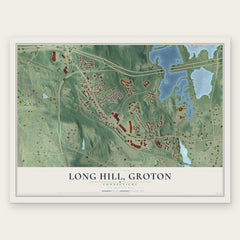


More maps nearby: Conning Towers-Nautilus Park, Poquonock Bridge, Groton Long Point, Oswegatchie and Quaker Hill.
The art of mapping a place
How This Map Was Made
Real places. Remarkable detail. Discover the layers that turn geographic data into a map of home.

The view from above
Aerial imagery reveals the character of the land: woodland, open fields, and the patterns of a place.

The shape of the land
Elevation data brings hills, valleys, and subtle changes in the landscape into view.

The details of home
Roads, waterways, and building footprints come together to make the map feel unmistakably local.

Geography becomes art
Considered color, shading, and typography bring the layers together in a map made for your wall.


Process illustrated with Mendon, Massachusetts. Aerial imagery: USDA NAIP. Terrain: USGS 3D Elevation Program. Map details and finished artwork: KNOWOL.
The Details
About This Print
Choose an archival matte print, or a black or white Ayous wood frame. The archival matte print is unframed.
Select your size and finish above to see the matching product image and price.
Materials & Craftsmanship
A contemporary map with the character of a classic atlas, printed on archival matte paper. Optional frames are made from Ayous wood.
Your printed map does not include the watermark shown in the full-map preview.
Shipping & Delivery
Free shipping within the United States. Every print is made to order in the USA.
Buying a gift? Add a note in your cart and we'll include it. We never put prices in the package.
Prints ship within 2 to 3 business days. Allow 7 to 10 days total from ordering for delivery. Timing may vary during holidays or periods of high order volume.
Read our shipping policy.
Returns and damaged prints
Each print is made to order. Change-of-mind refunds are not available after production.
If your print arrives damaged, misprinted or incorrect, contact support@knowol.com within 30 days of receiving it. Include your order number, photos and a description of the issue.
Read our full refund and replacement policy. For questions about your order, email support@knowol.com.