
Search for another town





Free U.S. delivery 7 to 10 days after you order
New Orleans, Louisiana Map Art
A new map of New Orleans, Louisiana, made in 2026 and printed to order on thick archival matte paper.
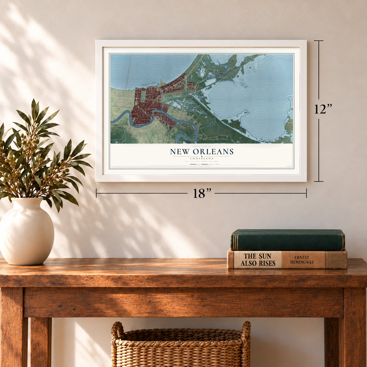
12" x 18" Archival Matte Print
A Map of Home. A Work of Art.
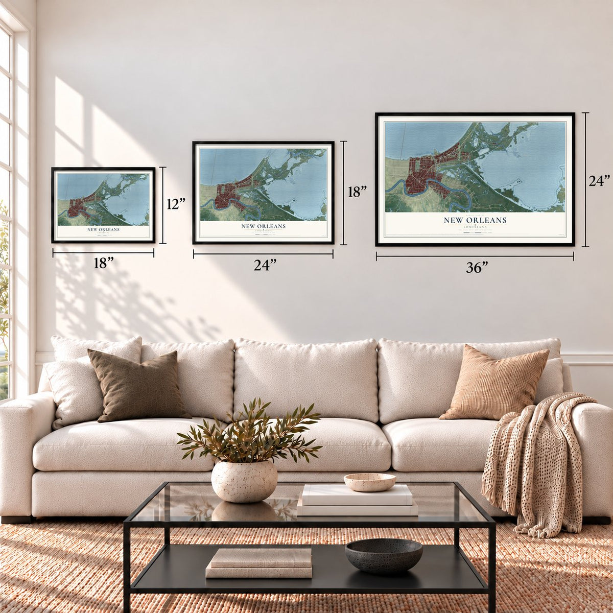
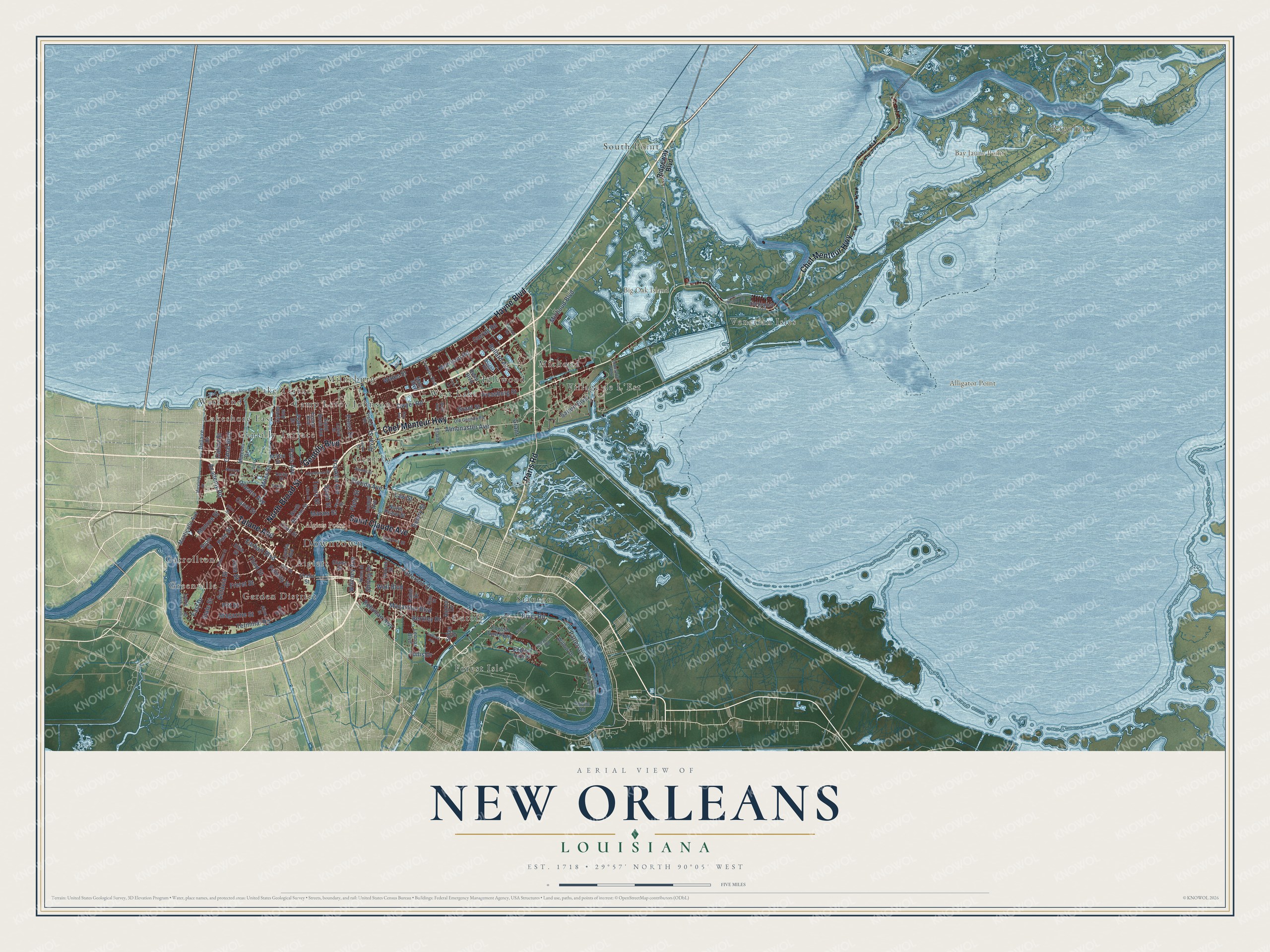
Explore New Orleans, Louisiana from a whole new perspective. Created using aerial imagery and detailed geographic data, this map captures New Orleans building by building, with labeled streets, familiar landmarks, and shaded topographical relief that highlights the natural contours of the landscape.
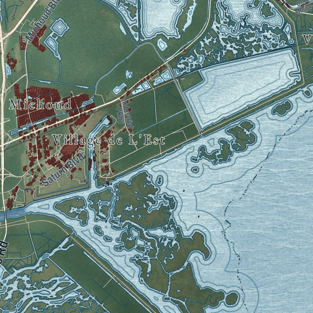
Combining modern data with the timeless character of a vintage atlas, this map is just as interesting up close as it is beautiful on the wall. Whether you grew up in New Orleans, spent memorable years there, or call it home today, this unique map is a great way to celebrate a place that means something to you. Zoom in on the preview to look for your street, and then order a print to put your memories on the wall.
Three ways to hang it
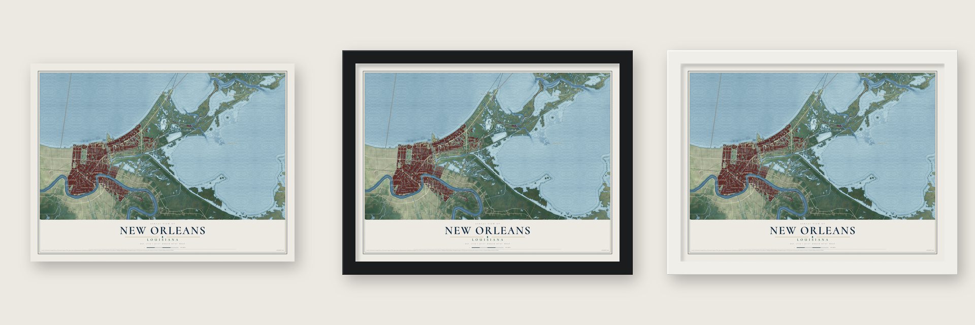
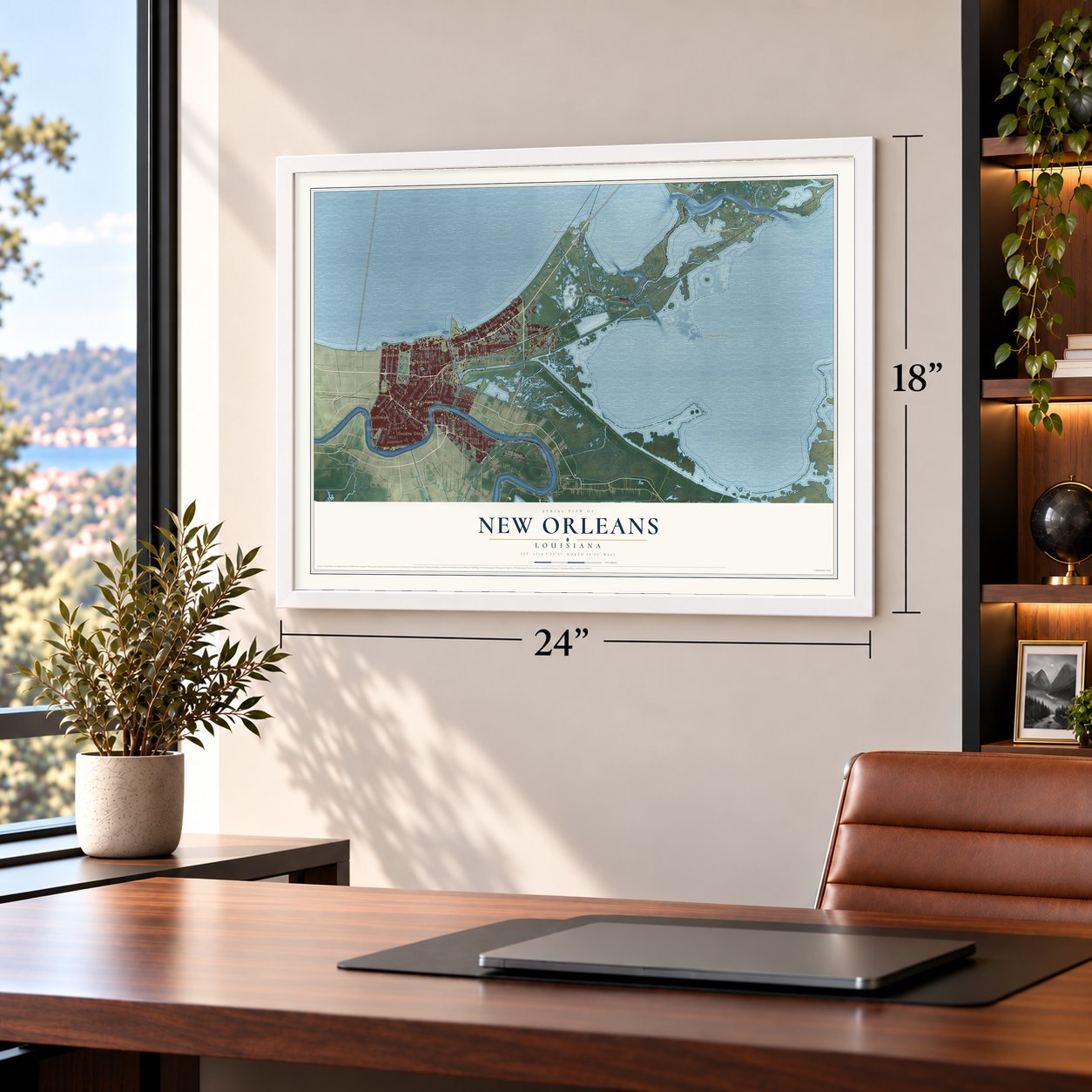
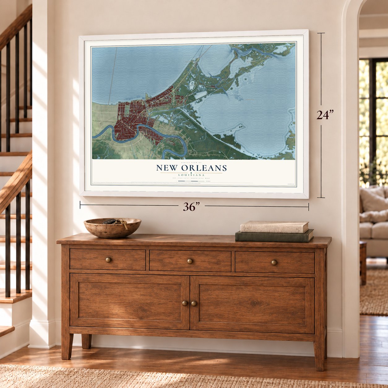
Unframed archival matte, a black wood frame or a white wood frame.
Up close
Geography Worth Displaying
This map was created using accurate cartographic data and authoritative geographic sources, including the U.S. Geological Survey and the Census Bureau. The map brings together terrain, waterways, roads, and building detail. The majority of the streets are labeled, houses are accurately depicted, and the topography is derived from government sources. Combining local data with carefully composed color and shading leads to this beautifully detailed New Orleans artwork for your wall.
Rather than simply showing street outlines, we’ve included as many of the street names as we could reasonably fit on the map while keeping their names legible. Zoom in on the high resolution preview to see exactly what’s on the map. We truly set out to create a statement piece for anyone who loves New Orleans. So whether it’s for you, or a gift for someone you love, we hope this map of New Orleans brings back fond memories.
Read the story behind this map of New Orleans, Louisiana from 2026.

About New Orleans, Louisiana
New Orleans is a city of 383,997 people on the Mississippi River. Its borders match those of Orleans Parish. In the spring of 1718, Jean-Baptiste Le Moyne de Bienville led the French Mississippi Company in founding the town. The land had long been home to the Chitimacha people. The town was named La Nouvelle-Orléans to honor the Duke of Orléans, Philippe II, who acted as regent for Louis XV from 1715 to 1723.
France gave Louisiana to Spain in the 1763 Treaty of Paris. Residents rebelled in 1768 and held the city for a short time, but Louis XV still upheld Spanish rule. The Spanish called the city Nueva Orleans until 1800, when a treaty gave Louisiana back to France. In 1803 Napoleon sold it to the United States. When Louisiana became a state in 1812, New Orleans was its first capital. By 1840 it was the third most populous city in the country.
- Bulbancha, land of many tonguesBefore Europeans came, the Choctaw called this area Bulbancha. The name means "land of many tongues." Antoine-Simon Le Page du Pratz wrote in his Histoire de la Louisiane that the name first belonged to the Mississippi River.
- The Ursuline nuns, 1727Ursuline nuns came in 1727 with backing from the Company of the Indies. They opened a convent and taught girls there. Several city schools still trace back to their work. The Old Ursuline Convent is one of the few French Quarter buildings older than the Spanish period.
- Refugees doubled the cityThousands fled the Haitian Revolution for New Orleans between 1791 and 1810. Many had gone to Cuba first, and Cuban officials forced them out in 1809. That wave added 2,731 white people, 3,102 free people of color and 3,226 enslaved people. It doubled the city's population. The newcomers helped build Louisiana's sugar industry and its cultural life.
- Jackson's victory in 1815In the last campaign of the War of 1812, Britain sent 11,000 troops to take the city. General Andrew Jackson gathered a mixed force. It had militia from Louisiana, Mississippi and Tennessee, Army regulars, Kentucky frontiersmen and privateers led by the pirate Jean Lafitte. They beat the British on January 8, 1815. Neither army knew that the Treaty of Ghent had been signed on December 24, 1814.
- Rebuilding after KatrinaHurricane Katrina struck in late August 2005. It flooded more than 80% of the city and killed more than 1,300 people. The population fell by over half as residents were forced out. Major rebuilding since then has brought many people back.
Find your street
Names on the New Orleans map
Every name below is printed on this map. Look for your street, your school, the park where you played, or the pond down the road.
Places and landmarks26
- Downtown
- Rigolets
- Greenville
- Algiers Point
- Alligator Point
- Bay Jaune Point
- Big Oak Island
- Algiers
- Camp Leroy Johnson
- Carrollton
- Cutoff
- Forest Isle
Show all 26 places
- Garden District
- Gentilly
- Gentilly Terrace
- Idlewood
- Lake Terrace
- Lakeshore East
- Michoud
- Milneburg
- South Point
- Stanton
- Venetian Isles
- Village de L'Est
- West End
- West Lake
Streets and roads126
- Chef Menteur Highway
- Paris Road
- Tulane Avenue
- Gentilly Boulevard
- North Broad Street
- Saint Claude Avenue
- Hayne Boulevard
- Florida Avenue
- Monroe Street
- Tullis Drive
- Terminal Road
- Academy Road
- Orleans Avenue
- Press Drive
- Almonaster Avenue
- Morrison Road
- Patterson Road
- Franklin Avenue
- Michoud Boulevard
- Canal Street
- Patterson Drive
- Canal Boulevard
- Dwyer Road
- Earhart Boulevard
- Paris Avenue
- Magazine Street
- Bullard Avenue
- Alvar Street
- Curran Road
- River Road
Show all 126 streets
- Marais Street
- Freret Street
- Whitney Avenue
- Spain Street
- Macarthur Boulevard
- Law Street
- Wales Street
- Touro Street
- Pressburg Street
- Pine Street
- Octavia Street
- Wall Boulevard
- Third Street
- Jena Street
- Piety Street
- Saturn Boulevard
- Moss Street
- Pitt Street
- State Street
- Catina Street
- Berkley Drive
- Felicity Street
- Delery Street
- Grant Street
- Behrman Highway
- East Drive
- Shirley Drive
- Grant
- Ridgeway Boulevard
- Loyola Avenue
- Bellaire Drive
- Monticello Avenue
- Marconi Drive
- Saint Roch Avenue
- Read Boulevard
- North Roman Street
- North Prieur Street
- Conti Street
- English Turn Drive
- Thalia Street
- Mayo Boulevard
- Poland Avenue
- Willow Drive
- Lennox Boulevard
- Kabel Drive
- Pratt Drive
- Short Street
- English Turn Parkway
- Public Road
- Horace Street
- Cartier Avenue
- Diana Street
- Sullen Place
- Milton Street
- Aurora Drive
- Elaine
- Elba Street
- Industrial Parkway
- Dodt Avenue
- Old Gentilly Road
- Crowder Boulevard
- Wright Road
- France Road
- Chartres Street
- Louisiana Highway 407
- Leake Avenue
- Clio Street
- Port Street
- Sixth Street
- Lafaye Street
- Pasteur Boulevard
- Old Spanish Trail
- Eton Street
- Delacroix Road
- Numa Street
- Aline Street
- River Drive
- Fortin Street
- Derby Place
- Lakeshore Drive
- Golf Drive
- Louisa Street
- Calhoun Street
- Benefit Street
- Abundance Street
- Allen Street
- Stanton Road
- Gannon Road
- Old Chef Menteur Road
- Inwood Avenue
- Ray Avenue
- Ulloa Street
- Maryland Drive
- Navarre Avenue
- Arbor Lane
- Tara Lane
Names are listed as they appear on the printed map. Zoom into the product photos to find them.
The art of mapping a place
How This Map Was Made
Real places. Remarkable detail. Discover the layers that turn geographic data into a map of home.

The view from above
Aerial imagery reveals the character of the land: woodland, open fields, and the patterns of a place.

The shape of the land
Elevation data brings hills, valleys, and subtle changes in the landscape into view.

The details of home
Roads, waterways, and building footprints come together to make the map feel unmistakably local.

Geography becomes art
Considered color, shading, and typography bring the layers together in a map made for your wall.


Process illustrated with Mendon, Massachusetts. Aerial imagery: USDA NAIP. Terrain: USGS 3D Elevation Program. Map details and finished artwork: KNOWOL.
The Details
About This Print
Choose an archival matte print, or a black or white Ayous wood frame. The archival matte print is unframed.
Select your size and finish above to see the matching product image and price.
Materials & Craftsmanship
A contemporary map with the character of a classic atlas, printed on archival matte paper. Optional frames are made from Ayous wood.
Your printed map does not include the watermark shown in the full-map preview.
Shipping & Delivery
Free shipping within the United States. Every print is made to order in the USA.
Buying a gift? Add a note in your cart and we'll include it. We never put prices in the package.
Prints ship within 2 to 3 business days. Allow 7 to 10 days total from ordering for delivery. Timing may vary during holidays or periods of high order volume.
Read our shipping policy.
Returns and damaged prints
Each print is made to order. Change-of-mind refunds are not available after production.
If your print arrives damaged, misprinted or incorrect, contact support@knowol.com within 30 days of receiving it. Include your order number, photos and a description of the issue.
Read our full refund and replacement policy. For questions about your order, email support@knowol.com.
Find your town
Looking for another city?
Find a map of home in our Louisiana collection, or any town in the country.
Nearby
Maps of towns near New Orleans
Know someone from one of these towns? Their map makes a great gift.
 Lower Ninth Ward
, Louisiana
From $39.99See the map
 Chalmette
, Louisiana
From $39.99See the map
 Arabi
Arabi, Louisiana
From $39.99See the map
More maps nearby: Gentilly Terrace, St. Claude, Holy Cross, Bywater and Meraux.