
Search for another town

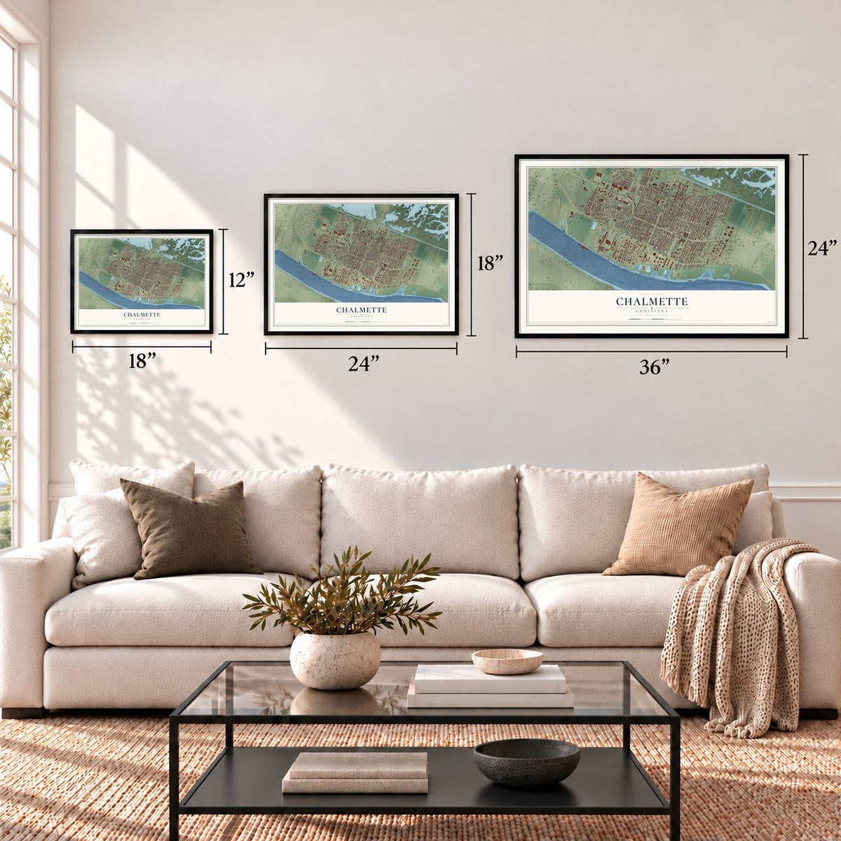

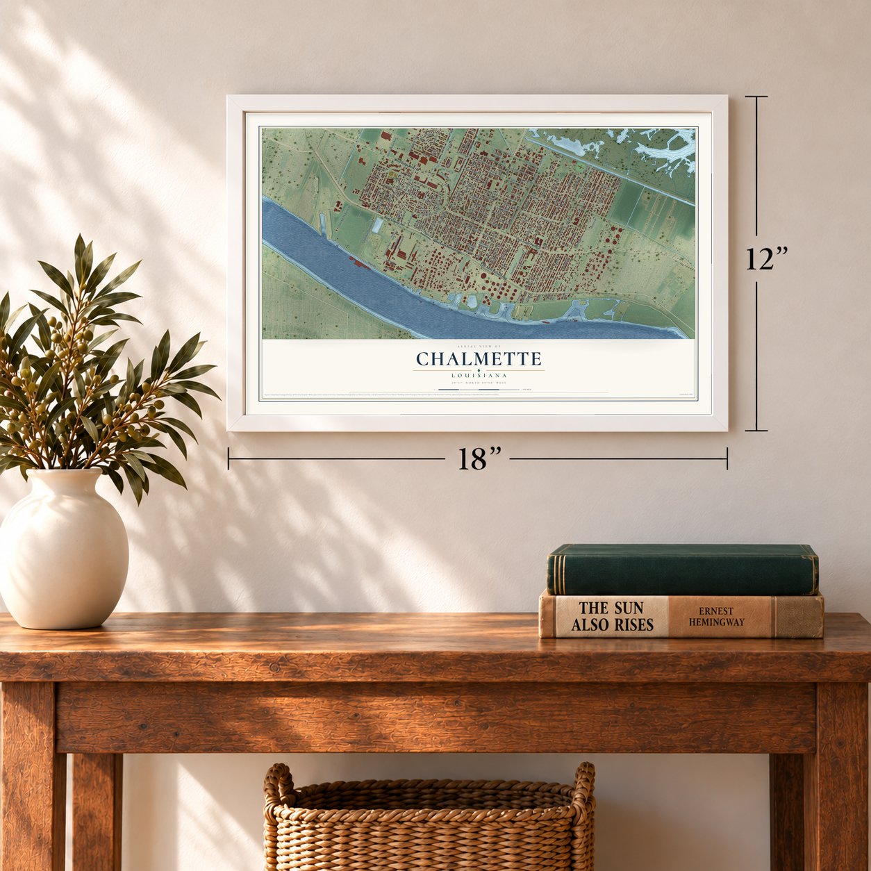
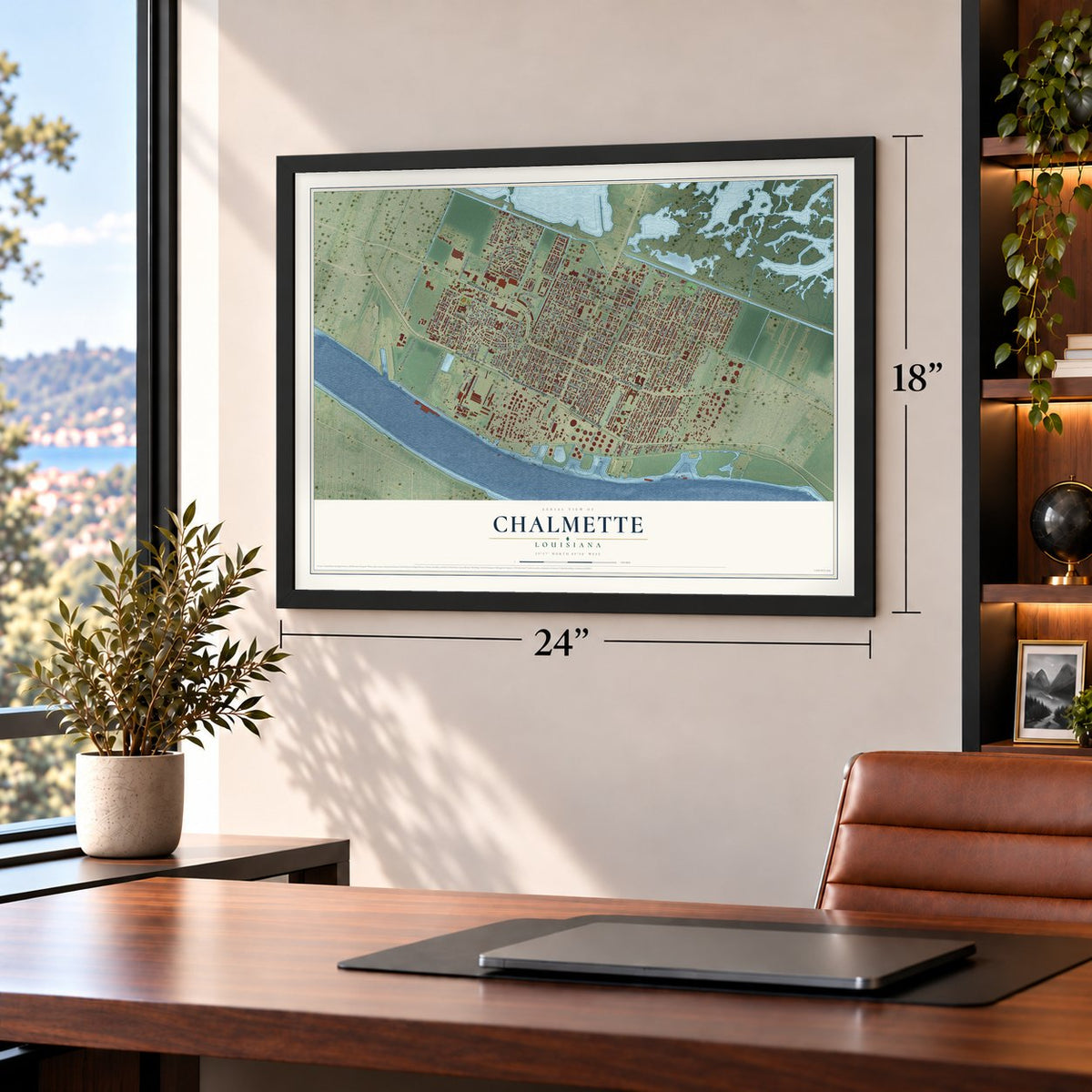
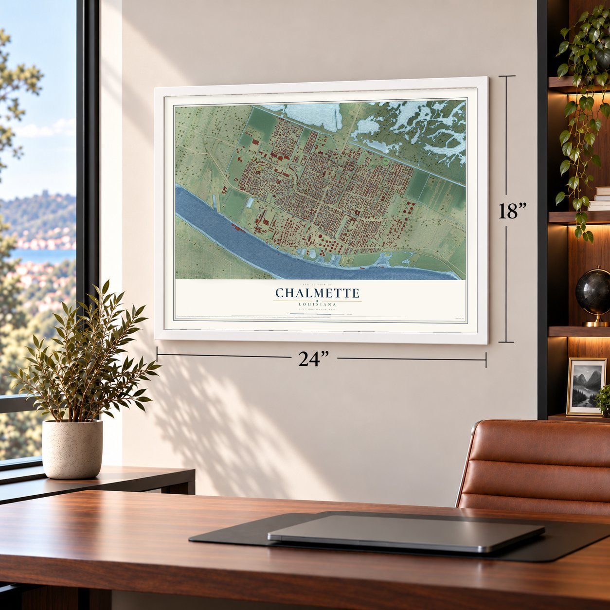


Free U.S. delivery 7 to 10 days after you order
Chalmette, Louisiana Map Art
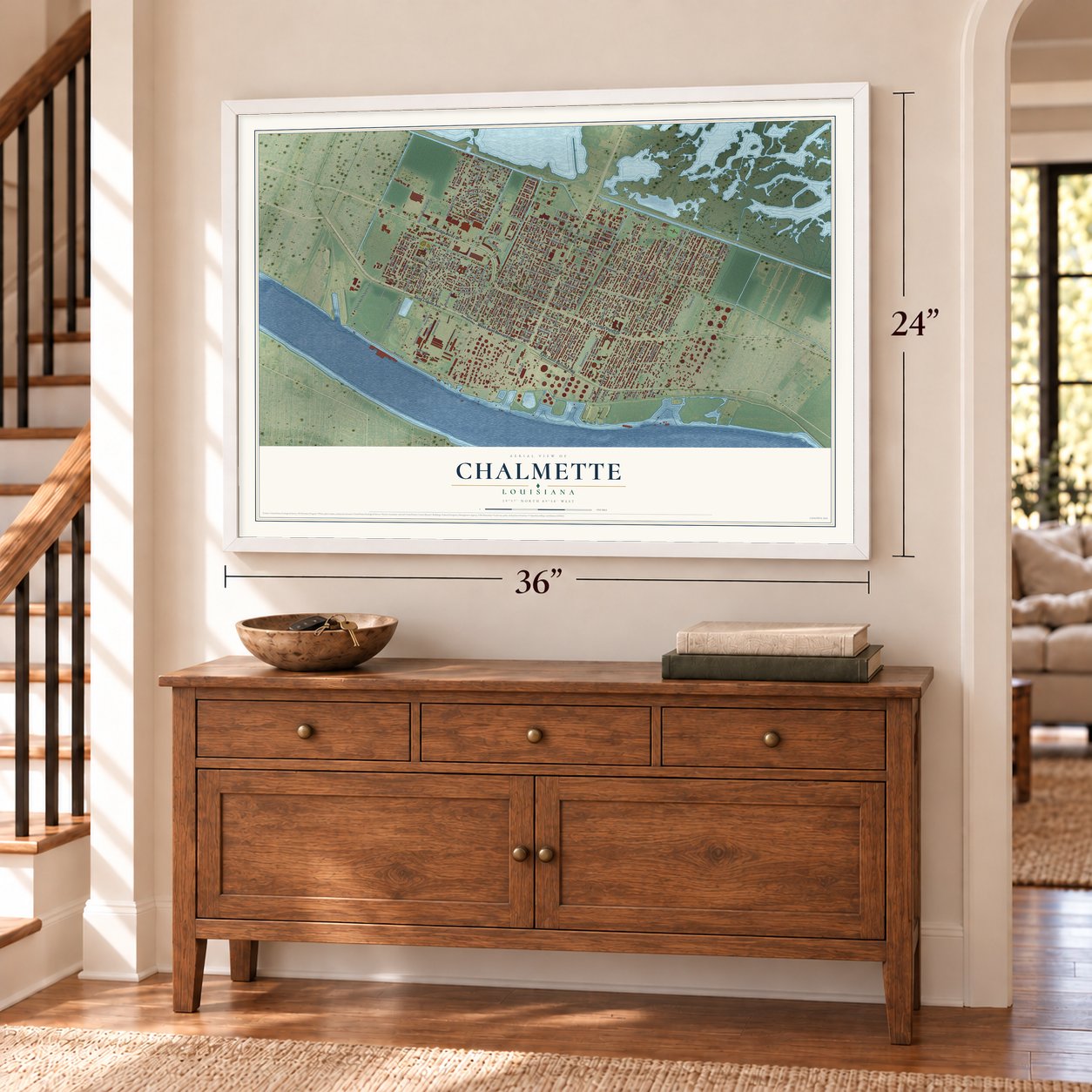
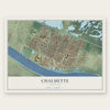
A new map of Chalmette, Louisiana, made in 2026 and printed to order on thick archival matte paper.
12" x 18" Archival Matte Print
A Map of Home. A Work of Art.
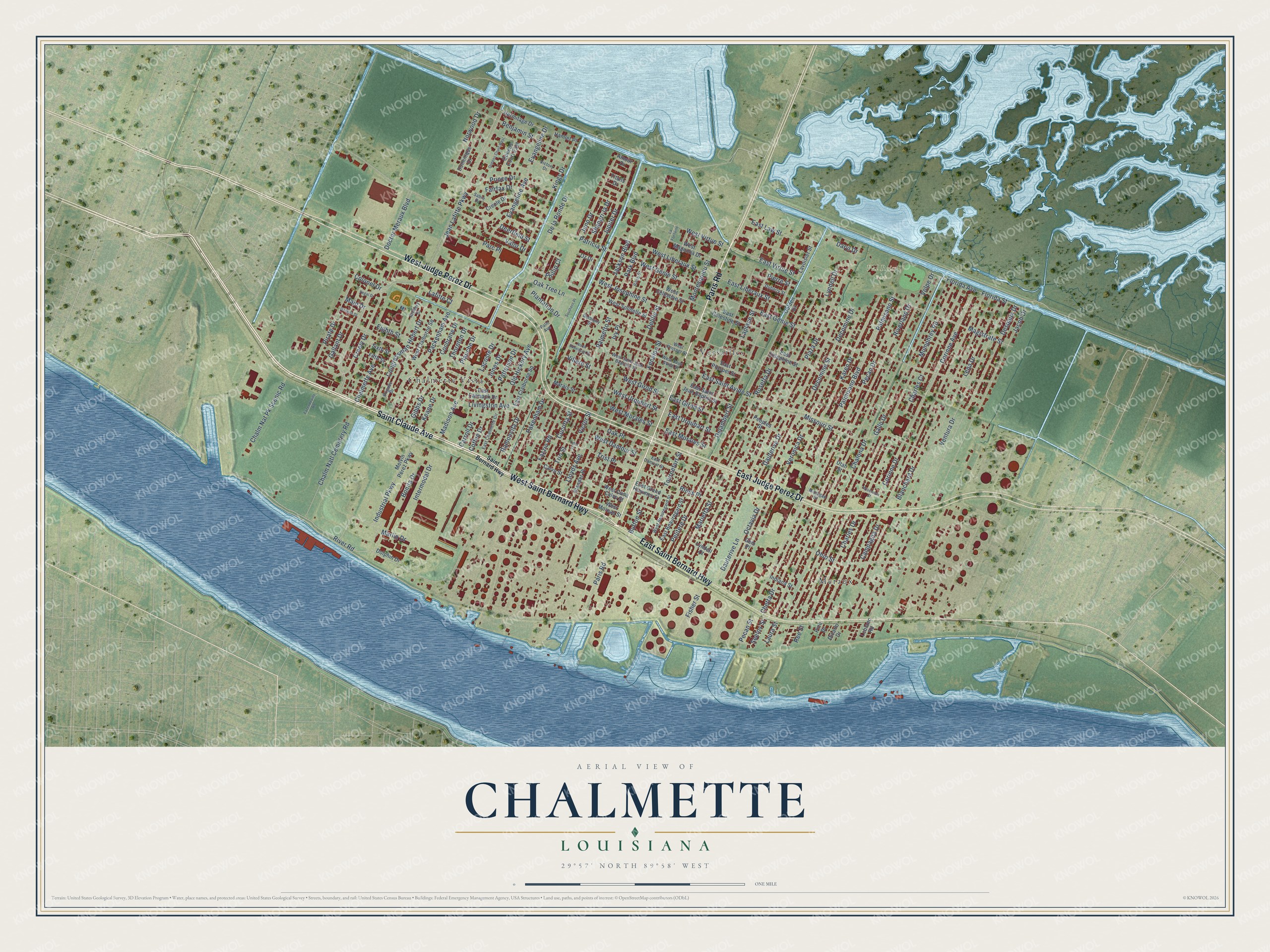
Explore Chalmette, Louisiana from a whole new perspective. Created using aerial imagery and detailed geographic data, this map captures Chalmette building by building, with labeled streets, familiar landmarks, and shaded topographical relief that highlights the natural contours of the landscape.
Combining modern data with the timeless character of a vintage atlas, this map is just as interesting up close as it is beautiful on the wall. Whether you grew up in Chalmette, spent memorable years there, or call it home today, this unique map is a great way to celebrate a place that means something to you. Zoom in on the preview to look for your street, and then order a print to put your memories on the wall.
Three ways to hang it
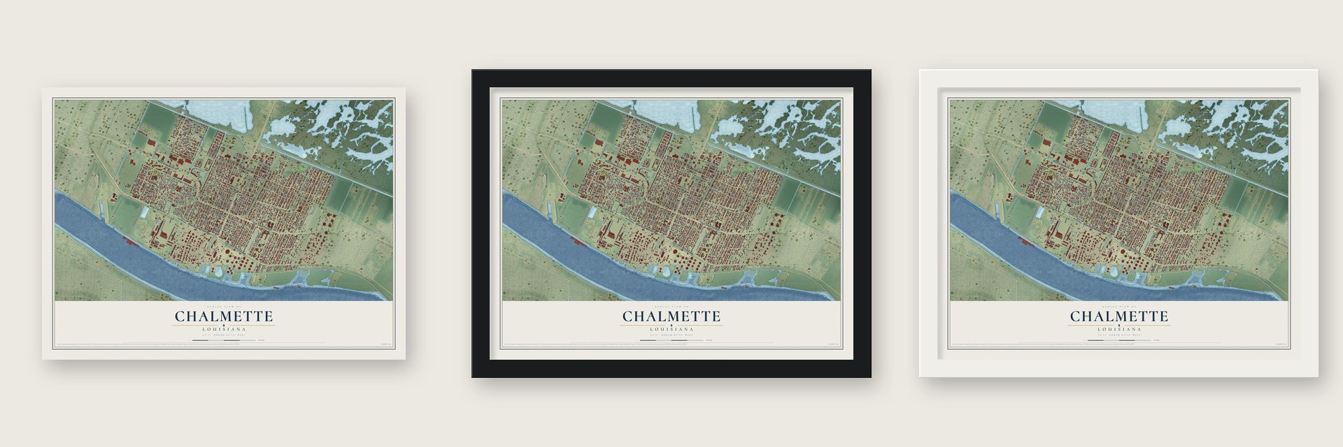
Unframed archival matte, a black wood frame or a white wood frame.
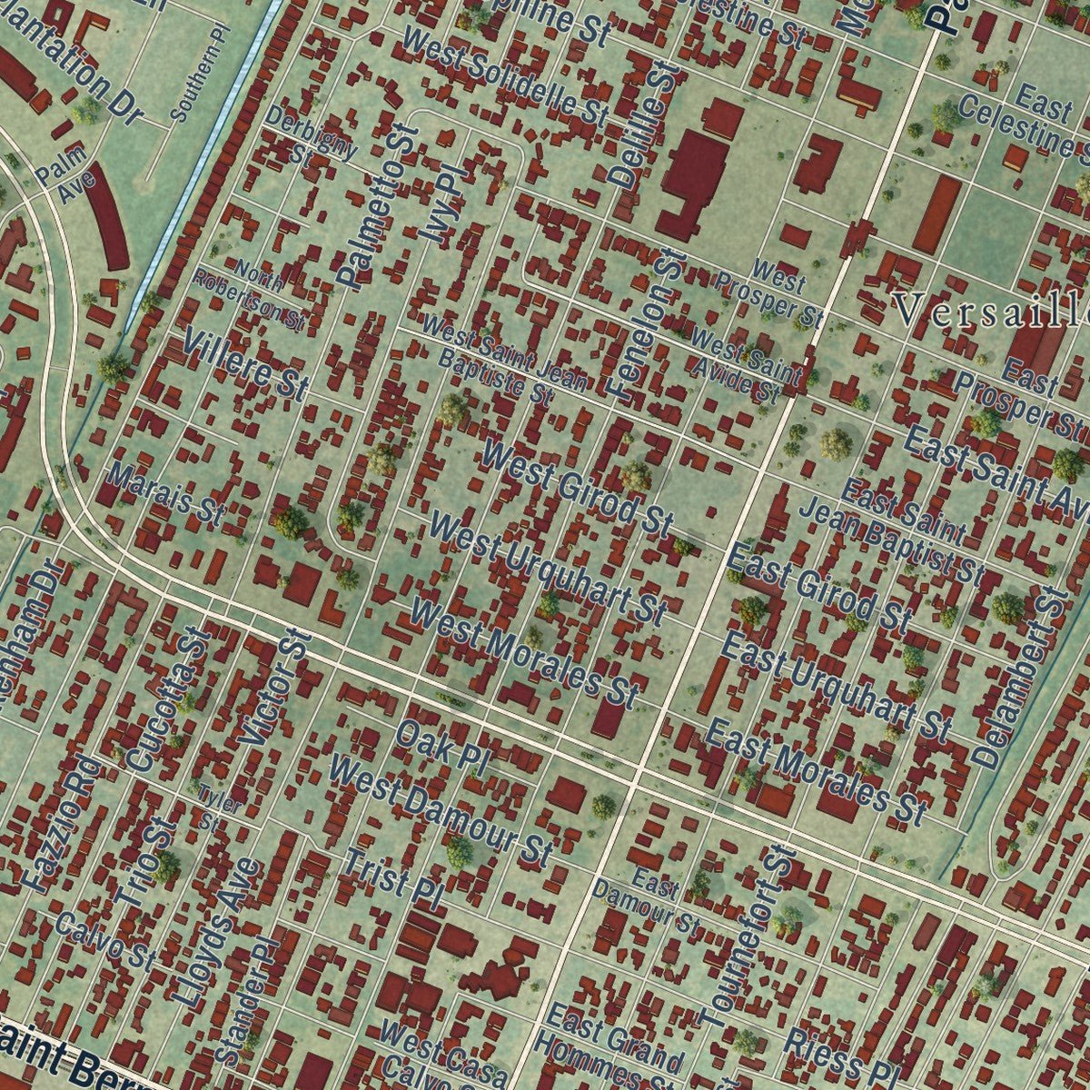
Up close
Geography Worth Displaying
This map was created using accurate cartographic data and authoritative geographic sources, including the U.S. Geological Survey and the Census Bureau. The map brings together terrain, waterways, roads, and building detail. The majority of the streets are labeled, houses are accurately depicted, and the topography is derived from government sources. Combining local data with carefully composed color and shading leads to this beautifully detailed Chalmette artwork for your wall.
Rather than simply showing street outlines, we’ve included as many of the street names as we could reasonably fit on the map while keeping their names legible. Zoom in on the high resolution preview to see exactly what’s on the map. We truly set out to create a statement piece for anyone who loves Chalmette. So whether it’s for you, or a gift for someone you love, we hope this map of Chalmette brings back fond memories.
Read the story behind this map of Chalmette, Louisiana from 2026.
About Chalmette, Louisiana
Chalmette is a community of 21,562 people on the Mississippi River, east of New Orleans, and it serves as the seat of St. Bernard Parish. It is named for Louis-Xavier Martin de Lino de Chalmette, a plantation owner from Quebec who lived from 1720 to 1755. His family added Chalmette to their name after they acquired land in Louisiana, to honor his great-grandmother Antoinette Chalmette, who died in 1711. In French the word means pasture or fallow land.
In January 1815 the plantation belonged to his second son, Ignace, when American and British armies met there in the Battle of New Orleans. Major General Andrew Jackson ordered the plantation destroyed so the British could not use it for cover, and on January 8 his men defeated the army of Sir Edward Pakenham. The battlefield is now a national monument next to Chalmette National Cemetery, and since the mid-1970s it has belonged to Jean Lafitte National Historical Park and Preserve.
- Katrina's flood in 2005On August 29, 2005, Hurricane Katrina drove a 25-foot storm surge through the Mississippi River-Gulf Outlet, a shipping channel the Army Corps of Engineers dug in the 1960s. Water as deep as 14 to 15 feet covered most of the town, and by October 25 most of its buildings were judged beyond saving. The surge also toppled a huge tank at the Murphy Oil plant, which spilled a large amount of oil.
- Rebuilding after the stormThe parish school board told FEMA it would not wait and opened St. Bernard Unified School for every grade in late 2005. When the 2006 to 2007 school year began, it became Chalmette High School again. Our Lady of Prompt Succor was the only place to hold funerals for 12 months, and in February 2006 the Knights of Nemesis paraded for Mardi Gras past buildings still in ruins.
- Malus-Beauregard House, 1830This Greek Revival plantation house was built in 1830 beside the battlefield and is open to the public. Katrina's flood reached the low ground of the battlefield and destroyed its visitor center, which has since been rebuilt.
- Kaiser Aluminum, 1951 to 1983For more than thirty years, from 1951 to 1983, a major Kaiser Aluminum plant operated in Chalmette.
- A director and a quarterbackSeveral people with ties to Chalmette made names for themselves far from the parish. Tommy Wiseau became a film director, producer and actor. Norris Weese played quarterback at Ole Miss and later took snaps for the Denver Broncos. Mitchell Robinson plays basketball for the Boston Celtics, and Jimmy Messa plays bass in The Subdudes, an Americana band.
Find your street
Names on the Chalmette map
Every name below is printed on this map. Look for your street, your school, the park where you played, or the pond down the road.
Places and landmarks4
- Val Reiss Park
- Chalmette Vista
- Meraux
- Versailles
Streets and roads201
- Saint Claude Avenue
- West Saint Bernard Highway
- Paris Road
- West Judge Perez Drive
- East Judge Perez Drive
- East Saint Bernard Highway
- East Virtue Street
- River Road
- Jean Lafitte Parkway
- Palmisano Boulevard
- East Saint Avide Street
- Jupiter Drive
- West Genie Street
- Creely Drive
- Palmisano Street
- Volpe Drive
- Chalona Drive
- Mumphrey Road
- Plaza Drive
- Lena Drive
- Gallo Drive
- Ventura Drive
- Despaux Drive
- Jacob Drive
- Campagna Drive
- Veronica Drive
- Patricia Street
- Lyndell Drive
- East Genie Street
- Rosetta Drive
Show all 201 streets
- Delille Street
- Charles Drive
- Marietta Street
- Blanchard Drive
- Buffon Street
- Montesquieu Street
- Riverland Drive
- Laplace Street
- Tournefort Street
- Pecan Drive
- Jackson Boulevard
- Magistrate Street
- Pakenham Drive
- Fenelon Street
- Livingston Avenue
- Corinne Drive
- Corinne Avenue
- Delambert Street
- Florida Avenue
- Karen Drive
- Decomine Drive
- Decomine Street
- Lloyds Avenue
- Dauterive Drive
- Missouri Street
- Packenham Avenue
- Old Hickory Avenue
- Pirate Drive
- Doctor Meraux Boulevard
- Ohio Street
- De la Ronde Drive
- Chalm Natl Cemetery Road
- Evangeline Avenue
- Evangeline Drive
- Kings Drive
- Congressman Hebert Drive
- Benjamin Street
- Industrial Parkway
- West Virtue Street
- West Josephine Street
- Bonita Drive
- Pelitere Drive
- West Liberaux Street
- Florida Street
- Chalm Nat Pk Scenic Road
- Palmetto Street
- Ivy Place
- Octavia Drive
- Victor Street
- Trio Street
- Juno Drive
- Fazzio Road
- East Law Street
- Prince Drive
- Intermodal Drive
- Fairfax Drive
- West Urquhart Street
- Norwood Drive
- Shangri-la Drive
- Riess Place
- Chalmette Avenue
- Dauterive Lane
- Madison Avenue
- East Liberaux Street
- Phillip Court
- Marlin Drive
- Valor Drive
- Park Boulevard
- Trist Place
- East Morales Street
- Fisher Street
- East Girod Street
- East Urquhart Street
- West Morales Street
- Parc Place
- Ramoncita Drive
- Gallant Drive
- Plantation Drive
- West Damour Street
- Oak Tree Lane
- Pecan Street
- West Girod Street
- Gibbs Drive
- Coffee Drive
- Keane Drive
- Seelos Street
- Carroll Drive
- Charles Court
- Cochrane Drive
- Patterson Drive
- Villere Street
- Oak Place
- Daryl Drive
- Lafitte Court
- Chetta Drive
- Eighth Street
- Thornton Drive
- Cucotta Street
- Jones Drive
- Lacoste Drive
- Plauche Drive
- Deerfield Street
- Colonel Drive
- Laura Street
- Pierre Street
- Main Drive
- Ree Street
- Lavoisier Street
- Amour Drive
- East Josephine Street
- Golden Drive
- Melvin Perez Parkway
- East Claiborne Square
- West Claiborne Square
- Creole Drive
- East Celestine Street
- Dominique Drive
- West Solidelle Street
- East Prosper Street
- East Saint Jean Baptist Street
- West Magnolia Drive
- West Celestine Street
- West Moreau Street
- Stander Place
- East Beauregard Street
- Hermitage Drive
- West Casa Calvo Street
- Queens Court East
- East Carmack Drive
- Hamlet Place
- Peoples Street
- East Grand Hommes Street
- Dolphin Drive
- Calvo Street
- Indiana Street
- Sixth Street
- Marais Street
- Dicarlo Drive
- Lyndell Court
- Fifth Street
- Leblanc Road
- Titans Drive
- Utah Street
- Oz Drive
- Pine Drive
- Gem Place
- Saint Bernard Highway
- West Saint Avide Street
- East Chalmette Circle
- West Prosper Street
- West Saint Jean Baptiste Street
- Rose Street
- East Damour Street
- West Beauregard Street
- Artillery Drive
- Brigade Drive
- Palm Avenue
- Victory Drive
- Michigan Street
- Sabre Drive
- Derbigny Street
- Dubarry Street
- La Fontaine
- Wisconsin Street
- Queens Court West
- Tyler Street
- Southern Place
- Fazendeville Road
- Regal Drive
- North Robertson Street
- Galleon Drive
Names are listed as they appear on the printed map. Zoom into the product photos to find them.
The art of mapping a place
How This Map Was Made
Real places. Remarkable detail. Discover the layers that turn geographic data into a map of home.

The view from above
Aerial imagery reveals the character of the land: woodland, open fields, and the patterns of a place.

The shape of the land
Elevation data brings hills, valleys, and subtle changes in the landscape into view.

The details of home
Roads, waterways, and building footprints come together to make the map feel unmistakably local.

Geography becomes art
Considered color, shading, and typography bring the layers together in a map made for your wall.


Process illustrated with Mendon, Massachusetts. Aerial imagery: USDA NAIP. Terrain: USGS 3D Elevation Program. Map details and finished artwork: KNOWOL.
The Details
About This Print
Choose an archival matte print, or a black or white Ayous wood frame. The archival matte print is unframed.
Select your size and finish above to see the matching product image and price.
Materials & Craftsmanship
A contemporary map with the character of a classic atlas, printed on archival matte paper. Optional frames are made from Ayous wood.
Your printed map does not include the watermark shown in the full-map preview.
Shipping & Delivery
Free shipping within the United States. Every print is made to order in the USA.
Buying a gift? Add a note in your cart and we'll include it. We never put prices in the package.
Prints ship within 2 to 3 business days. Allow 7 to 10 days total from ordering for delivery. Timing may vary during holidays or periods of high order volume.
Read our shipping policy.
Returns and damaged prints
Each print is made to order. Change-of-mind refunds are not available after production.
If your print arrives damaged, misprinted or incorrect, contact support@knowol.com within 30 days of receiving it. Include your order number, photos and a description of the issue.
Read our full refund and replacement policy. For questions about your order, email support@knowol.com.
Find your town
Looking for another city?
Find a map of home in our Louisiana collection, or any town in the country.
Nearby
Maps of towns near Chalmette
Know someone from one of these towns? Their map makes a great gift.
 Arabi
Arabi, Louisiana
From $39.99See the map
 Meraux
, Louisiana
From $39.99See the map
 Holy Cross
, Louisiana
From $39.99See the map
More maps nearby: Lower Ninth Ward, Bywater, Terrytown, St. Claude and Algiers Point.