


Search for another town

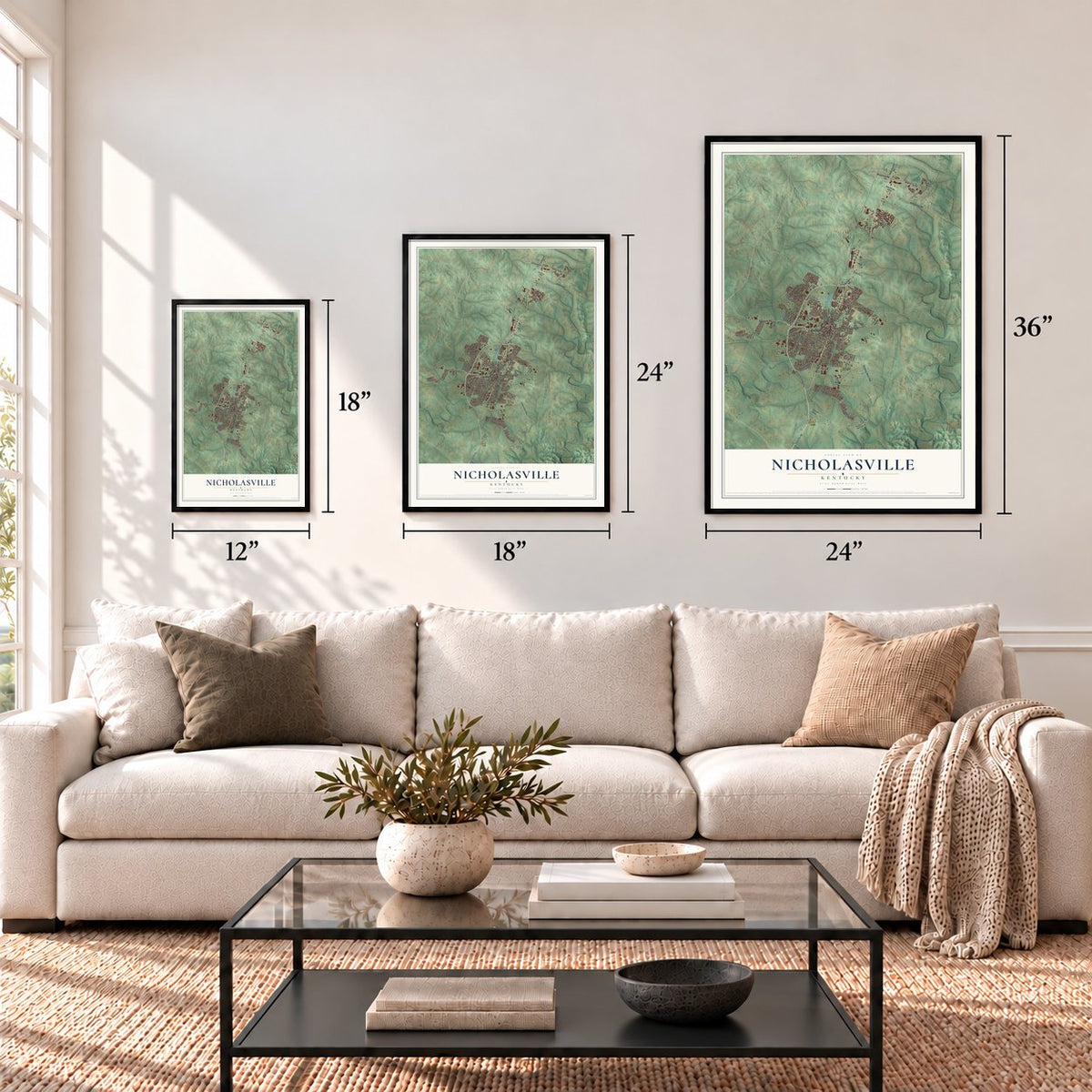

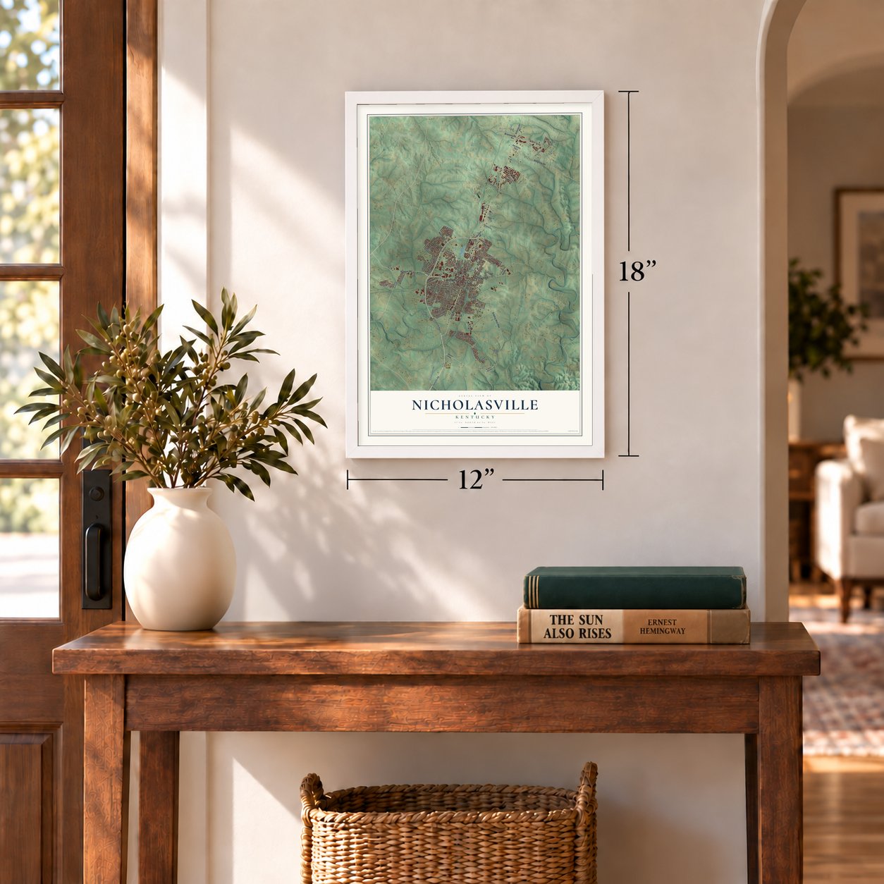

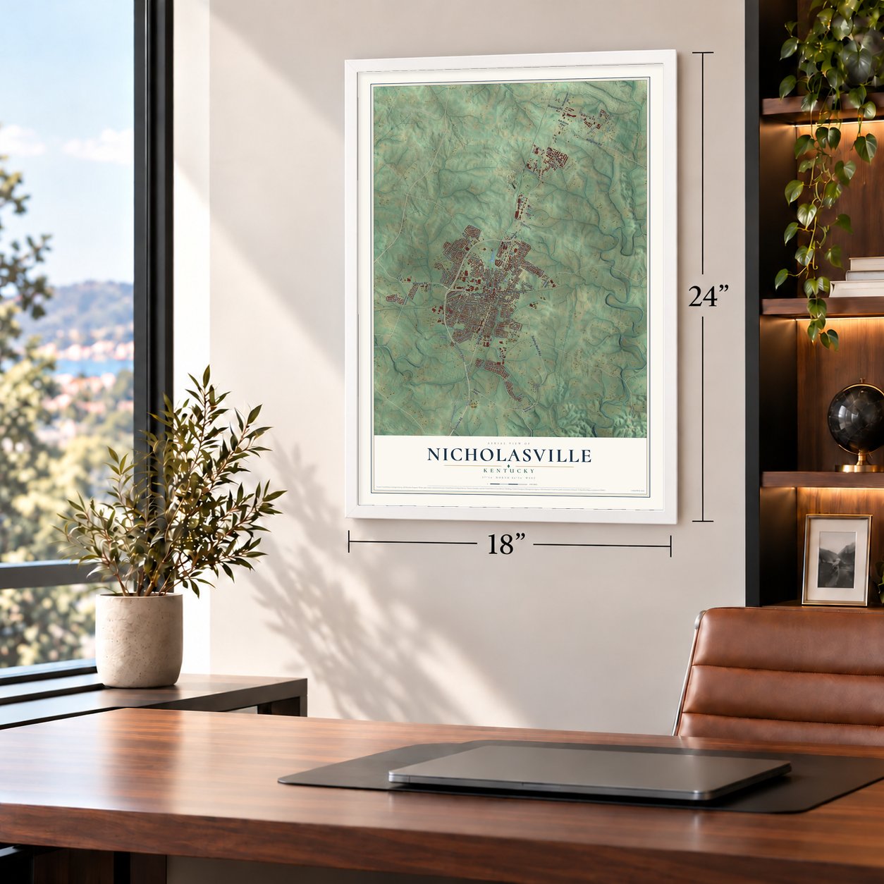

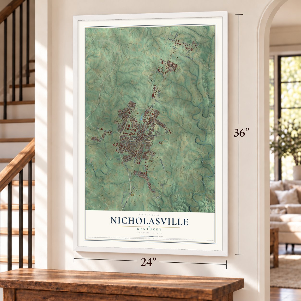

Free U.S. delivery 7 to 10 days after you order
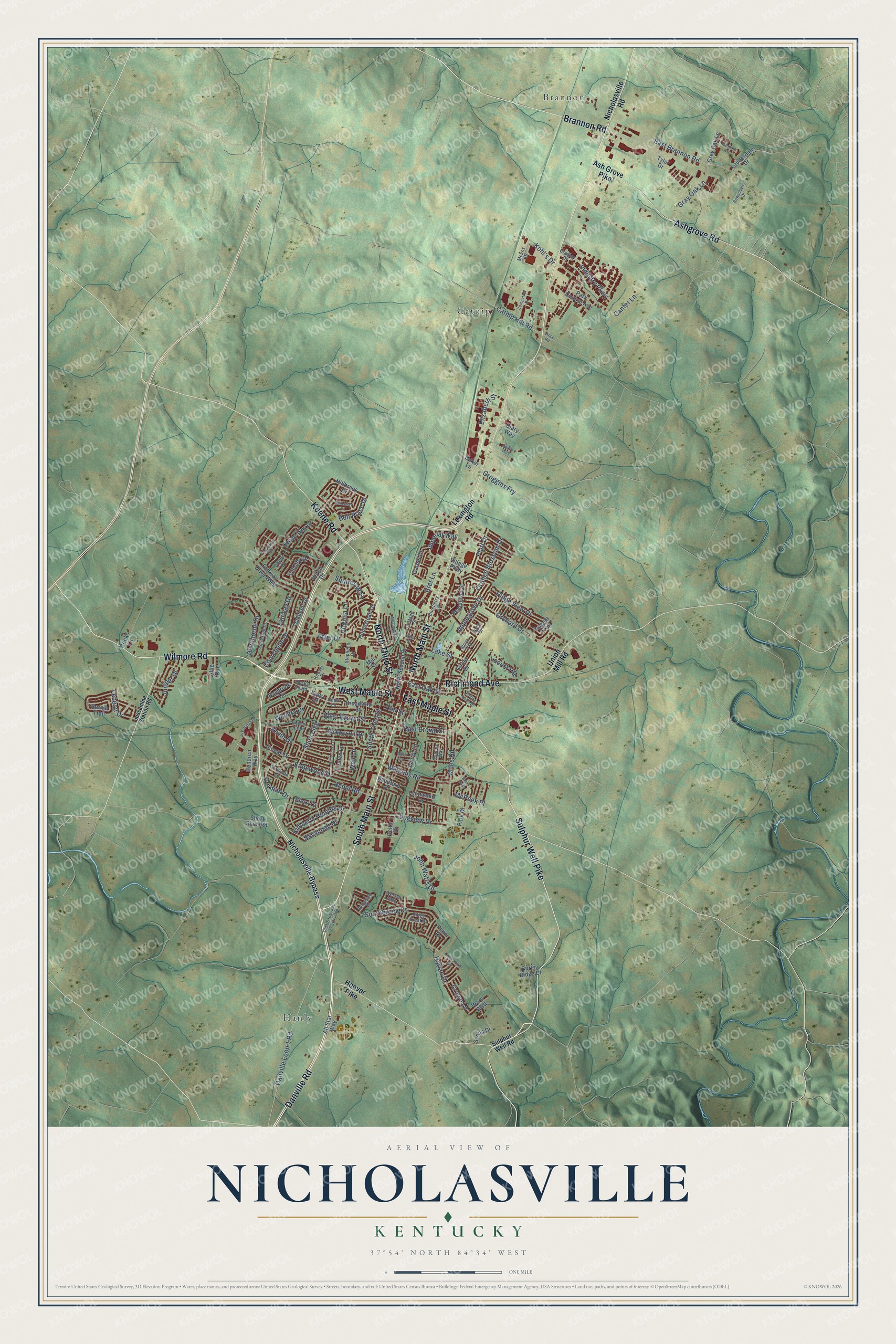
Nicholasville, Kentucky Map Art
Building by building, with labeled streets and shaded relief.
12" x 18" Archival Matte Print
A Map of Home. A Work of Art.
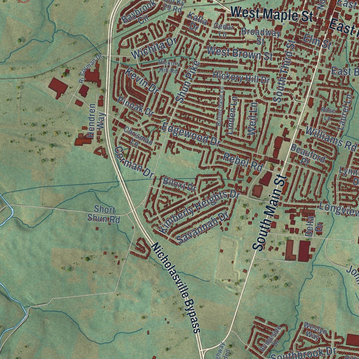
Explore Nicholasville, Kentucky from a whole new perspective. Created using aerial imagery and detailed geographic data, this map captures Nicholasville building by building, with labeled streets, familiar landmarks, and shaded topographical relief that highlights the natural contours of the landscape.
Combining modern data with the timeless character of a vintage atlas, this map is just as interesting up close as it is beautiful on the wall. Whether you grew up in Nicholasville, spent memorable years there, or call it home today, this unique map is a great way to celebrate a place that means something to you. Zoom in on the preview to look for your street, and then order a print to put your memories on the wall.
Three ways to hang it
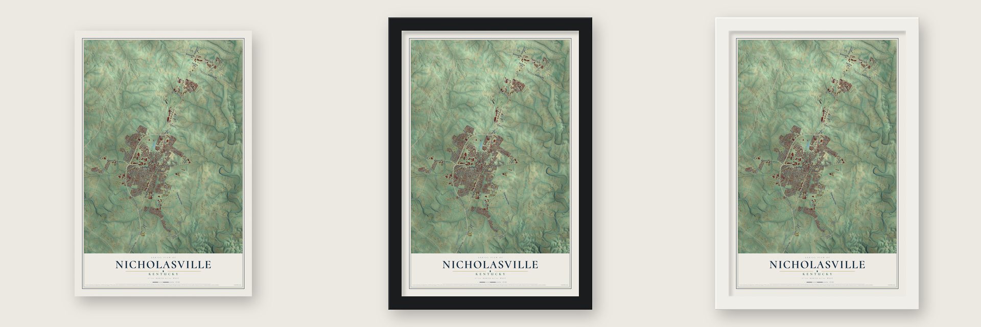
Unframed archival matte, a black wood frame or a white wood frame.
Up close
Geography Worth Displaying
This map was created using accurate cartographic data and authoritative geographic sources, including the U.S. Geological Survey and the Census Bureau. The map brings together terrain, waterways, roads, and building detail. The majority of the streets are labeled, houses are accurately depicted, and the topography is derived from government sources. Combining local data with carefully composed color and shading leads to this beautifully detailed Nicholasville artwork for your wall.
Rather than simply showing street outlines, we’ve included as many of the street names as we could reasonably fit on the map while keeping their names legible. Zoom in on the high resolution preview to see exactly what’s on the map. We truly set out to create a statement piece for anyone who loves Nicholasville. So whether it’s for you, or a gift for someone you love, we hope this map of Nicholasville brings back fond memories.
Read the story behind this map of Nicholasville, Kentucky from 2026.

Find your street
Names on the Nicholasville map
Every name below is printed on this map. Look for your street, your school, the park where you played, or the pond down the road.
Places and landmarks3
- Brannon
- Catnip
- Hanly
Streets and roads145
- Danville Road
- Wilmore Road
- South Main Street
- West Maple Street
- Brannon Road
- North Main Street
- Richmond Avenue
- Ashgrove Road
- Sulphur Well Pike
- Keene Road
- North Third Street
- East Maple Street
- Danville Loop 1 Road
- Elizabeth Street
- Longview Drive
- East Brannon Road
- Bell Place Drive
- Shun Pike
- Edgewood Drive
- Orchard Drive
- Southbrook Drive
- Hawthorne Drive
- Courchelle Drive
- South Third Street
- Miles Road
- Williams Road
- Applegrove Drive
- Kimberly Heights Drive
- Industry Parkway
- Harlan Drive
Show all 145 streets
- West Brown Street
- John Watts Drive
- Weil Lane
- Ridge View Drive
- Etter Drive
- Imperial Way
- Orange Blossom Drive
- Gray Oak Lane
- Wichita Drive
- Locust Heights
- East Brown Street
- Savannah Drive
- Virginia Lane
- McPeek Place
- East Oak Street
- Catnip Hill Road
- Juniper Drive
- Groggins Fry
- Rebel Road
- Bret Lane
- Lake Street
- Kevin Drive
- Corman Drive
- Squires Way
- Canter Lane
- Lebeau Drive
- Platt Drive
- Fairway Drive
- Crowe Lane
- Kohl's Drive
- Elm Street
- Nicholasville Road
- Nicholasville Bypass
- Ash Grove Pike
- Hoover Pike
- Lexington Road
- Union Mill Road
- Diary Way
- Hickory Hill Drive
- Bernie Trail
- Park Central Avenue
- Keene-Way Drive
- Pinoak Drive
- Linden Lane
- Baybrook Circle
- Laurel Lane
- Homestead Drive
- Peachtree Street
- Hillbrook Drive
- Biloxi Drive
- Broadway Street
- Timothy Drive
- Grey Oak Lane
- Oakmont Drive
- Village Parkway
- Lynnwood Drive
- North Second Street
- Fairway Drive West
- Garnet Drive
- Lauderdale Drive
- Park Drive
- Hendren Way
- Circle Drive
- Angela Trail
- Burley Ridge Drive
- Ware Boulevard
- Beauford Place
- Short Shun Road
- Baker Lane
- Senna Drive
- Allie Run
- Mill Street
- All Star Way
- Vetch Drive
- Cooks Lane
- Kalla Drive
- Delta Drive
- Tyler Drive
- Penn Drive
- Sulphur Well Road
- Stephens Drive
- Lone Oak Drive
- Weslyn Way
- Blueberry Lane
- Ridge Crest Drive
- Jason Drive
- Means Drive
- Hoover Drive
- Cottage Street
- Chrisman Lane
- Old Ky 29 Road
- Bradley Drive
- Queens Way
- Derby Drive
- Cedar Lane
- Jessamine Station Road
- Meadowlark Lane
- Hickory Hill Road
- Cannonball Drive
- Bellechase Lane
- Patmore Lane
- Old US Highway 27 Extended
- Rowanberry Drive
- Pheasant Run
- Computrex Drive
- Rj Corman Drive
- Gainsway Court
- Rolling Acres Drive
- Steen Pass
- Bridgeside Drive
- Vince Road
- High Street
- Rose Lane
- Alpine Way
- Bailey Way
Names are listed as they appear on the printed map. Zoom into the product photos to find them.
About Nicholasville, Kentucky
Nicholasville is a city of 31,093 people and the county seat of Jessamine County. On Saturday, September 16, 1798, the Rev. John Metcalf began laying out the town and named it for Col. George Nicholas, one of the fathers of Kentucky's 1792 constitution. He chose the spot for two reasons. Four large springs, which people believed would never run dry, lay inside the twenty-five acres of the new town. The roads from Lexington to Danville and from East Hickman to Jessamine also crossed here, where Main and Maincross streets meet today.
Not everyone agreed on the site. Samuel Woodson, a lawyer, wanted the town about a mile farther south, and Frederick Zimmerman wanted it about three-quarters of a mile north, on the hill past the Duncan farm. The quarrel lasted several years before Metcalf's steady push settled it. Most of the settlers came from Virginia and a few from the Carolinas, and the first residents were nearby farmers. Trade grew slowly, and for years there was no post office, so mail came by horseback. The town was incorporated in 1837.
“In the heart of a fine country, and the terminus of the Kentucky Central railroad, Nicholasville is necessarily a place of considerable business.”
- The first log cabinBenjamin Blackford settled the farm just north of town in 1783, and it later passed to his grandson Robert Duncan. Blackford's brother-in-law, Nathaniel McLean, built the first log cabin in Nicholasville.
- A Supreme Court justiceJohn McLean spent part of his boyhood on the Duncan farm and stayed in Jessamine County until he was about sixteen. He went to Congress from Cincinnati in 1812, joined the Ohio Supreme Court in 1816, became postmaster general in 1821 and was named to the U.S. Supreme Court in 1829. In the Dred Scott case he dissented, calling slavery contrary to right. He died in Cincinnati on April 4, 1861.
- Kentucky's official wine festivalEvery year the city holds the Kentucky Wine and Vine Fest, where commercial vineyards and home winemakers from Kentucky and nearby states pour their wines. In 2014 the Kentucky General Assembly named it the Official Wine Festival of Kentucky.
Keep exploring Kentucky
Nicholasville is one of 659 Kentucky towns we've mapped. Every dot on the map is a print of its own.
The search covers every state, Kentucky first.
Near Nicholasville
Order 2 or more town maps and save 10%. Shown in the size and finish you picked above, so they hang as a set.
- Jessamine 12" x 18" / Archival Matte Print $39.99
- Wilmore 12" x 18" / Archival Matte Print $39.99
- Keene 12" x 18" / Archival Matte Print $39.99


More maps nearby: Brigadoon, Lansdowne, Deerfield, Hill 'n Dale and High Bridge.
The art of mapping a place
How This Map Was Made
Real places. Remarkable detail. Discover the layers that turn geographic data into a map of home.

The view from above
Aerial imagery reveals the character of the land: woodland, open fields, and the patterns of a place.

The shape of the land
Elevation data brings hills, valleys, and subtle changes in the landscape into view.

The details of home
Roads, waterways, and building footprints come together to make the map feel unmistakably local.

Geography becomes art
Considered color, shading, and typography bring the layers together in a map made for your wall.


Process illustrated with Mendon, Massachusetts. Aerial imagery: USDA NAIP. Terrain: USGS 3D Elevation Program. Map details and finished artwork: KNOWOL.
The Details
About This Print
Choose an archival matte print, or a black or white Ayous wood frame. The archival matte print is unframed.
Select your size and finish above to see the matching product image and price.
Materials & Craftsmanship
A contemporary map with the character of a classic atlas, printed on archival matte paper. Optional frames are made from Ayous wood.
Your printed map does not include the watermark shown in the full-map preview.
Shipping & Delivery
Free shipping within the United States. Every print is made to order in the USA.
Buying a gift? Add a note in your cart and we'll include it. We never put prices in the package.
Prints ship within 2 to 3 business days. Allow 7 to 10 days total from ordering for delivery. Timing may vary during holidays or periods of high order volume.
Read our shipping policy.
Returns and damaged prints
Each print is made to order. Change-of-mind refunds are not available after production.
If your print arrives damaged, misprinted or incorrect, contact support@knowol.com within 30 days of receiving it. Include your order number, photos and a description of the issue.
Read our full refund and replacement policy. For questions about your order, email support@knowol.com.