
Search for another town


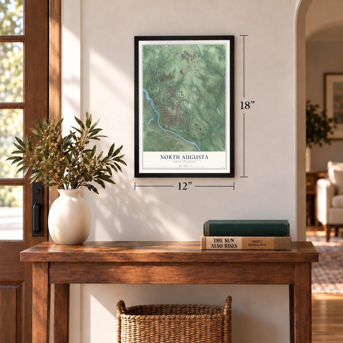
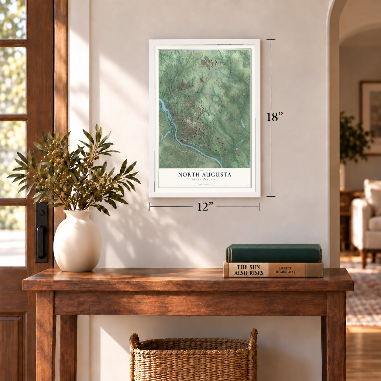

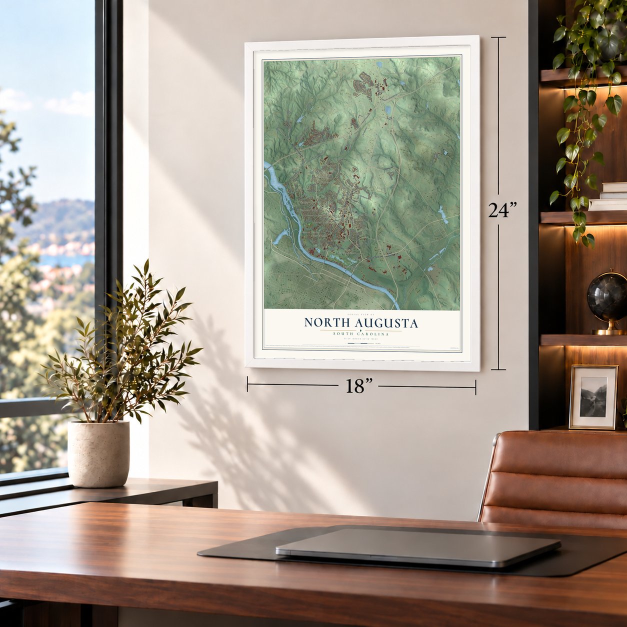
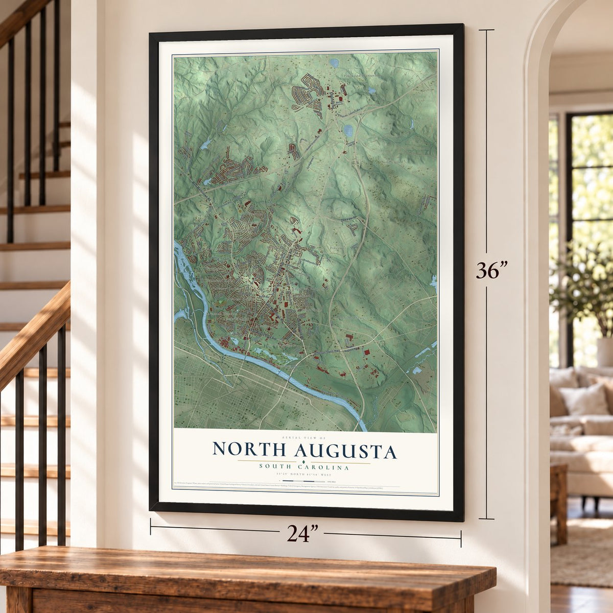
Free U.S. delivery 7 to 10 days after you order
North Augusta, South Carolina Map Art
A new map of North Augusta, South Carolina, made in 2026 and printed to order on thick archival matte paper.
12" x 18" Archival Matte Print
A Map of Home. A Work of Art.
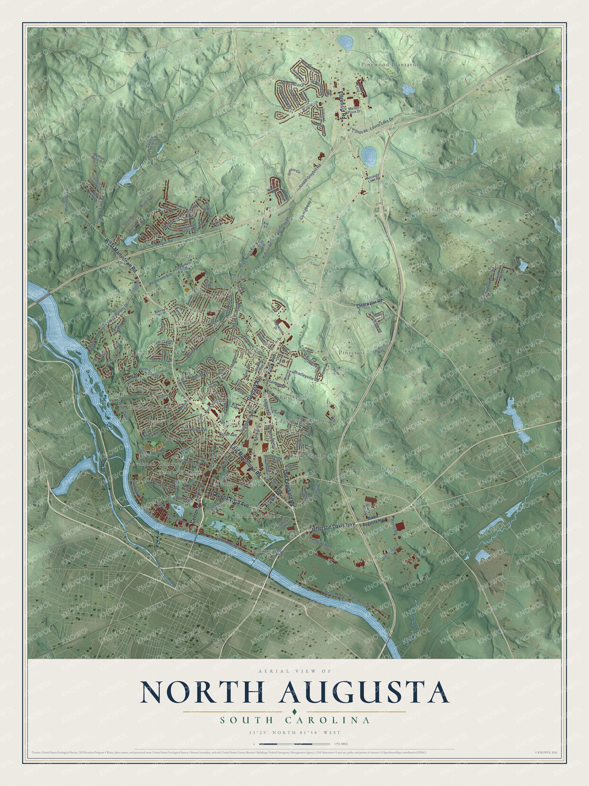
Explore North Augusta, South Carolina from a whole new perspective. Created using aerial imagery and detailed geographic data, this map captures North Augusta building by building, with labeled streets, familiar landmarks, and shaded topographical relief that highlights the natural contours of the landscape.
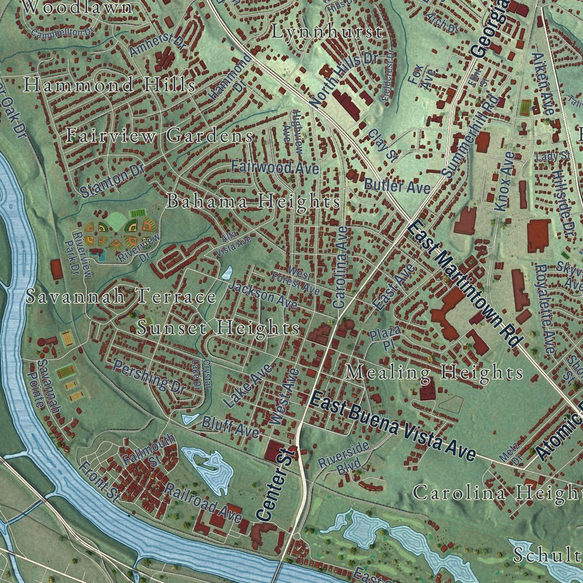
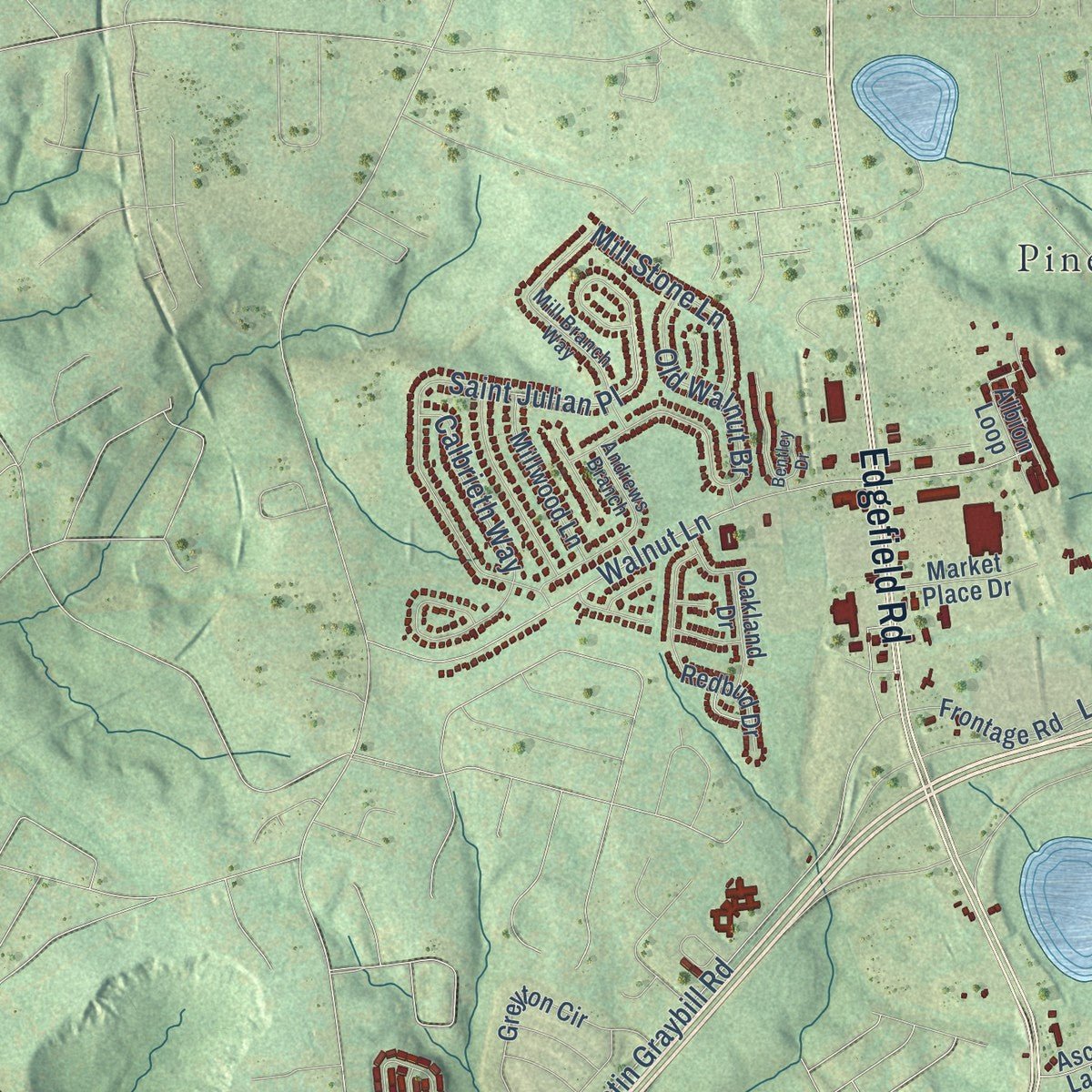
Combining modern data with the timeless character of a vintage atlas, this map is just as interesting up close as it is beautiful on the wall. Whether you grew up in North Augusta, spent memorable years there, or call it home today, this unique map is a great way to celebrate a place that means something to you. Zoom in on the preview to look for your street, and then order a print to put your memories on the wall.
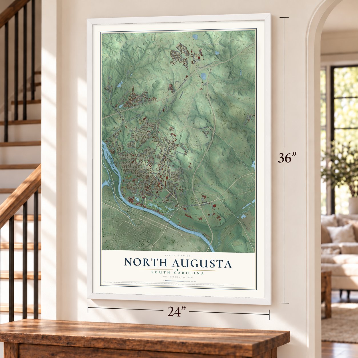
Three ways to hang it
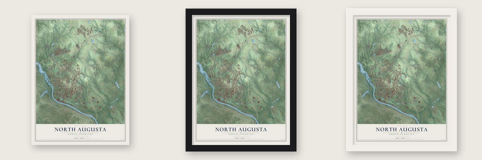
Unframed archival matte, a black wood frame or a white wood frame.
Up close
Geography Worth Displaying
This map was created using accurate cartographic data and authoritative geographic sources, including the U.S. Geological Survey and the Census Bureau. The map brings together terrain, waterways, roads, and building detail. The majority of the streets are labeled, houses are accurately depicted, and the topography is derived from government sources. Combining local data with carefully composed color and shading leads to this beautifully detailed North Augusta artwork for your wall.
Rather than simply showing street outlines, we’ve included as many of the street names as we could reasonably fit on the map while keeping their names legible. Zoom in on the high resolution preview to see exactly what’s on the map. We truly set out to create a statement piece for anyone who loves North Augusta. So whether it’s for you, or a gift for someone you love, we hope this map of North Augusta brings back fond memories.
Read the story behind this map of North Augusta, South Carolina from 2026.

About North Augusta, South Carolina
North Augusta is a city of 24,379 people in Aiken County, and a small part of it reaches north into Edgefield County. It sits on the Savannah River's north bank, facing Augusta, Georgia, across the water and the state line. Two settlements came before it: Campbelltown, founded in 1780 by John Hammond, and the antebellum town of Hamburg.
The modern city was the dream of James U. Jackson. In the 1890s he, his brother Walter and a group of New York investors formed a business they called the North Augusta Land Company. Its first purchase came on March 24, 1890, when Mattie Butler Mealing sold it 5,600 acres, and later deals raised its holdings to 6,500 acres. Jackson made several trips to New York to raise money for the town and for a bridge to Augusta, now named the James U. Jackson Memorial Bridge. North Augusta was incorporated on April 11, 1906.
- A winter resort, 1903 to 1916The Jackson brothers built the Hampton Terrace Hotel, a luxury resort that opened in 1903. Northerners came for the mild climate and the good train service, and the hotel's wealthy seasonal guests helped the young town's economy grow. Fire destroyed the hotel on December 31, 1916.
- Growth in the Cold WarDuring the Cold War, the Savannah River Plant was built south of town. The city's population nearly quadrupled, and North Augusta grew from 772 acres to 5,139 acres.
- The founders' homesRosemary Hall, the home of James U. Jackson, joined the National Register in 1975. Lookaway Hall, where his brother Walter lived, was listed in 1992, the same year as the B. C. Wall House. The Charles Hammond House was listed in 1973.
- Watergate and Gomer PyleNorth Augusta's notable people include Frank Wills, the security guard who uncovered the Watergate break-in, and Jim Nabors, the singer and actor who played Gomer Pyle. The singers Brenda Lee and Sharon Jones are also on the list.
- Home of the Peach JamEach summer the Riverview Park Activities Center hosts Nike's Peach Jam for boys and the Nike Nationals for girls. The country's best high school basketball prospects come to town for the tournaments, and college coaches come to watch them.
Find your street
Names on the North Augusta map
Every name below is printed on this map. Look for your street, your school, the park where you played, or the pond down the road.
Places and landmarks27
- Bahama Heights
- Brierfield
- Brogden
- Carolina Heights
- Crestland
- Edgefield Heights
- Fairview Gardens
- Hamburg
- Hammond Hills
- Lakewood
- Lynnhurst
- Martintowne
Show all 27 places
- Mealing Heights
- Monticello Estates
- Pinecrest
- Pinehurst
- Pinewood Plantation
- Rose Hill
- Sandlewood
- Savannah Terrace
- Schultz Hill
- Smithfield
- Summerfields
- Sunset Heights
- The Colony
- Wellington
- Woodlawn
Streets and roads171
- Edgefield Road
- Georgia Avenue
- East Martintown Road
- Old Edgefield Road
- Knox Avenue
- Atomic Road
- West Martintown Road
- Jefferson Davis Highway
- East Buena Vista Avenue
- Center Street
- Carolina Avenue
- Five Notch Road
- Bergen Road
- Austin Graybill Road
- River North Drive
- Lake Avenue
- Saint Julian Place
- Bunting Drive
- Knobcone Avenue
- Walnut Lane
- West Avenue
- Gregory Lake Road
- Old Sudlow Lake Road
- River Bluff Drive
- Stanton Drive
- Bolin Road
- Savannah Barony Drive
- Bridle Path Road
- Old Walnut Br
- Bradleyville Road
Show all 171 streets
- East Shoreline Drive
- East Avenue
- Green Forest Drive
- Railroad Avenue
- Blair Drive
- Laurel Lake Drive
- Expedition Drive
- Seton Circle
- Bonhill Street
- River Oak Drive
- Dittman Court
- Hamburg Road
- Front Street
- Butler Avenue
- Dietrich Lane
- Carriage Lane
- Fairwood Avenue
- Mill Stone Lane
- Summerhill Road
- Revco Road
- Bluff Avenue
- Durst Drive
- Calbrieth Way
- Sycamore Drive
- County Highway 7
- Pershing Drive
- White Pine Drive
- Royalette Avenue
- Dove Street
- North Hills Drive
- Altamaha Drive
- Vireo Drive
- Socastee Drive
- Rosemary Lane
- Edisto Drive
- Hillside Drive
- Otto Run
- Aiken Avenue
- Fiord Drive
- Clearwater Road
- Aiken Augusta Highway
- Jackson Avenue
- Adams Branch Road
- Robin Road
- Riverside Boulevard
- Pisgah Road
- Curtis Drive
- Greyton Circle
- Hammond Drive
- Ascauga Lake Road
- Byrnes Circle
- Marion Avenue
- Gregory Landing Drive
- River Wind Drive
- Sand Pit Road
- Country Club Hills Drive
- Frontage Road
- Plank Road
- Redbud Drive
- Crestlyn Drive
- Longstreet Crossing
- Weston Street
- Orchard Way
- Oakbrook Drive
- Wren Road
- Millwood Lane
- Plaza Place
- Albion Loop
- Old Martintown Road
- County Highway 2025
- Skyview Avenue
- Savannah Pointe
- Swallow Lake Drive
- Oak Creek Drive
- Fallmouth Street
- Lamback Way
- Market Place Drive
- Osprey Point
- Shultz Hill Drive
- Edgewood Drive
- Madison Road
- Brookgreen Drive
- Hillcrest Drive
- Gentry Lane
- Amherst Drive
- Oakland Drive
- Amy Circle
- Fox Avenue
- Scott Drive
- Broxten Drive
- Mae Street
- Alberta Avenue
- Lowe Street
- Mottled Duck Drive
- Brenda Drive
- Clay Street
- Short Street
- Kip Lane
- Norway Drive
- Womrath Road
- Riverview Drive
- River Bluff Road
- Mill Branch Way
- Riverview Park Drive
- Siskin Circle
- Andrews Branch
- Highview Avenue
- Groves Boulevard
- County Highway 2024
- Woodstone Way
- Metz Drive
- Claypit Road
- West Forest Avenue
- Big Pine Road
- Audubon Circle
- Carolina Springs Road
- Arch Drive
- Shoals Way Court
- Lady Street
- Alta Vista Avenue
- Ridgefield Drive
- Campbellton Drive
- Crystal Lake Drive
- Fairlane Drive
- Hidden Hills Drive
- Gustav Court
- Fieldcrest Drive
- Whitewater Drive
- Kenilworth Drive
- Hammond Pond Road
- Macklin Lane
- Talisman Drive
- Radio Station Road
- Winyah Drive
- Bentley Drive
- Bradley Drive
- Flint Street
- Hugh Street
- Belair Road
- Allen Court
- Heil Drive
Names are listed as they appear on the printed map. Zoom into the product photos to find them.
The art of mapping a place
How This Map Was Made
Real places. Remarkable detail. Discover the layers that turn geographic data into a map of home.

The view from above
Aerial imagery reveals the character of the land: woodland, open fields, and the patterns of a place.

The shape of the land
Elevation data brings hills, valleys, and subtle changes in the landscape into view.

The details of home
Roads, waterways, and building footprints come together to make the map feel unmistakably local.

Geography becomes art
Considered color, shading, and typography bring the layers together in a map made for your wall.


Process illustrated with Mendon, Massachusetts. Aerial imagery: USDA NAIP. Terrain: USGS 3D Elevation Program. Map details and finished artwork: KNOWOL.
The Details
About This Print
Choose an archival matte print, or a black or white Ayous wood frame. The archival matte print is unframed.
Select your size and finish above to see the matching product image and price.
Materials & Craftsmanship
A contemporary map with the character of a classic atlas, printed on archival matte paper. Optional frames are made from Ayous wood.
Your printed map does not include the watermark shown in the full-map preview.
Shipping & Delivery
Free shipping within the United States. Every print is made to order in the USA.
Buying a gift? Add a note in your cart and we'll include it. We never put prices in the package.
Prints ship within 2 to 3 business days. Allow 7 to 10 days total from ordering for delivery. Timing may vary during holidays or periods of high order volume.
Read our shipping policy.
Returns and damaged prints
Each print is made to order. Change-of-mind refunds are not available after production.
If your print arrives damaged, misprinted or incorrect, contact support@knowol.com within 30 days of receiving it. Include your order number, photos and a description of the issue.
Read our full refund and replacement policy. For questions about your order, email support@knowol.com.
Find your town
Looking for another city?
Find a map of home in our South Carolina collection, or any town in the country.
Nearby
Maps of towns near North Augusta
Know someone from one of these towns? Their map makes a great gift.
 Belvedere
, South Carolina
From $39.99See the map
 Clearwater
, South Carolina
From $39.99See the map
 Burnettown
, South Carolina
From $39.99See the map
More maps nearby: Murphys Estates, Langley, Beech Island, Gloverville and Graniteville.