
Search for another town




Free U.S. delivery 7 to 10 days after you order
North Druid Hills, Georgia Map Art
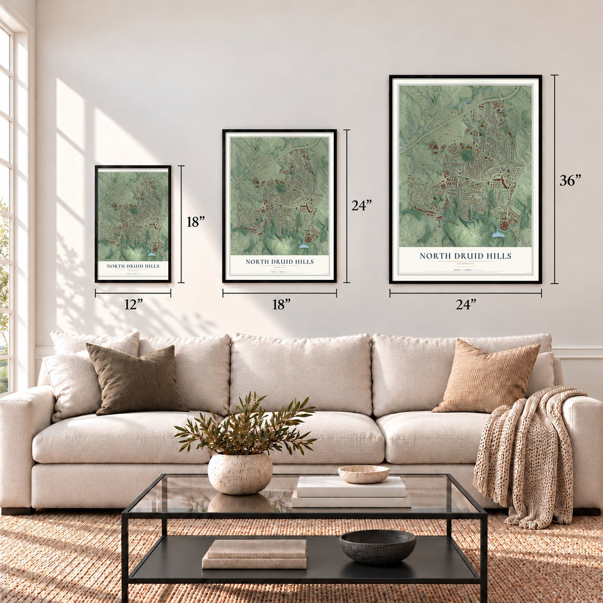
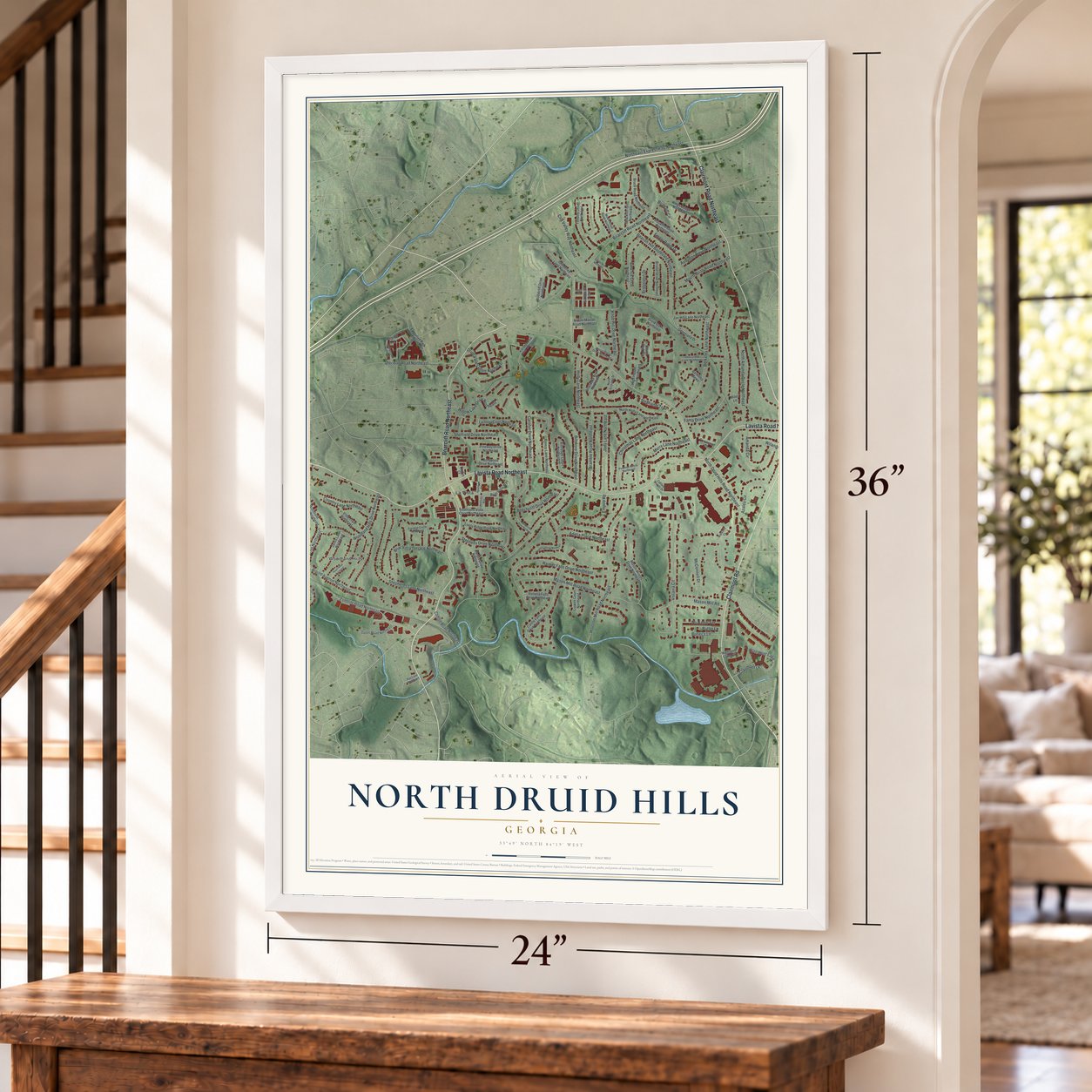
A new map of North Druid Hills, Georgia, made in 2026 and printed to order on thick archival matte paper.
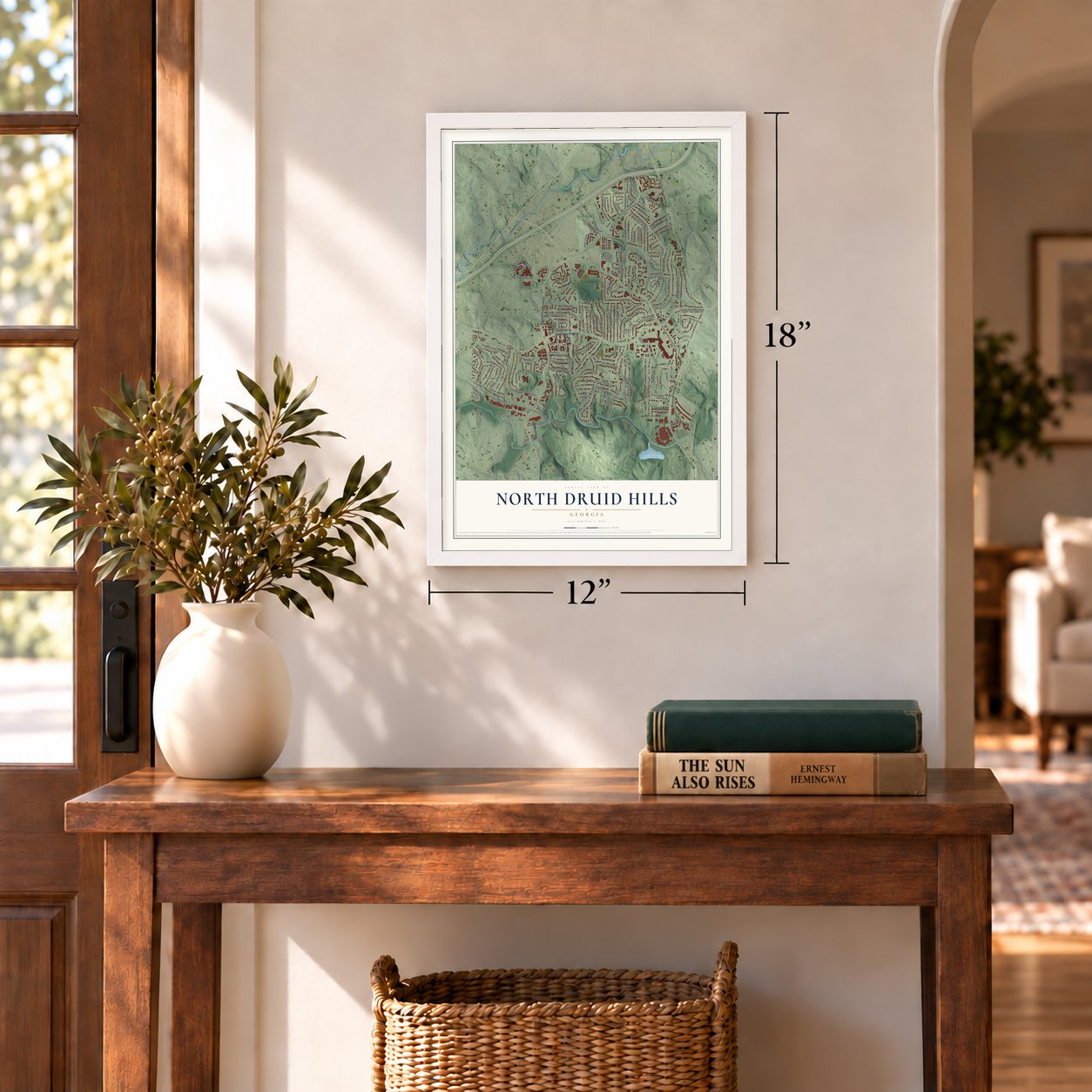
12" x 18" Archival Matte Print
A Map of Home. A Work of Art.
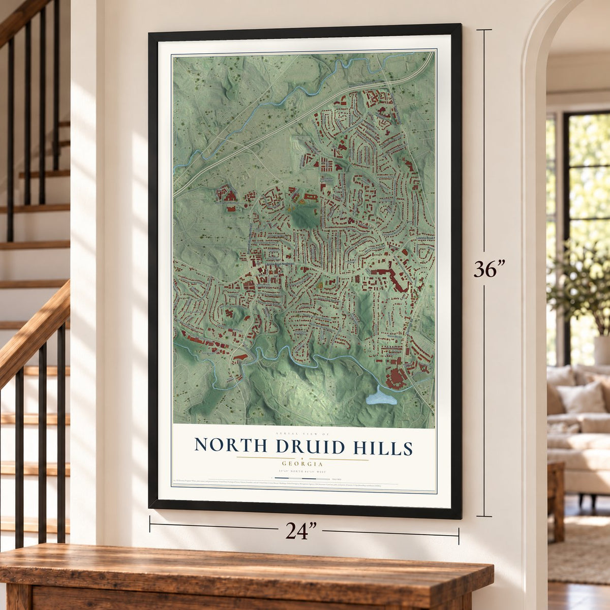
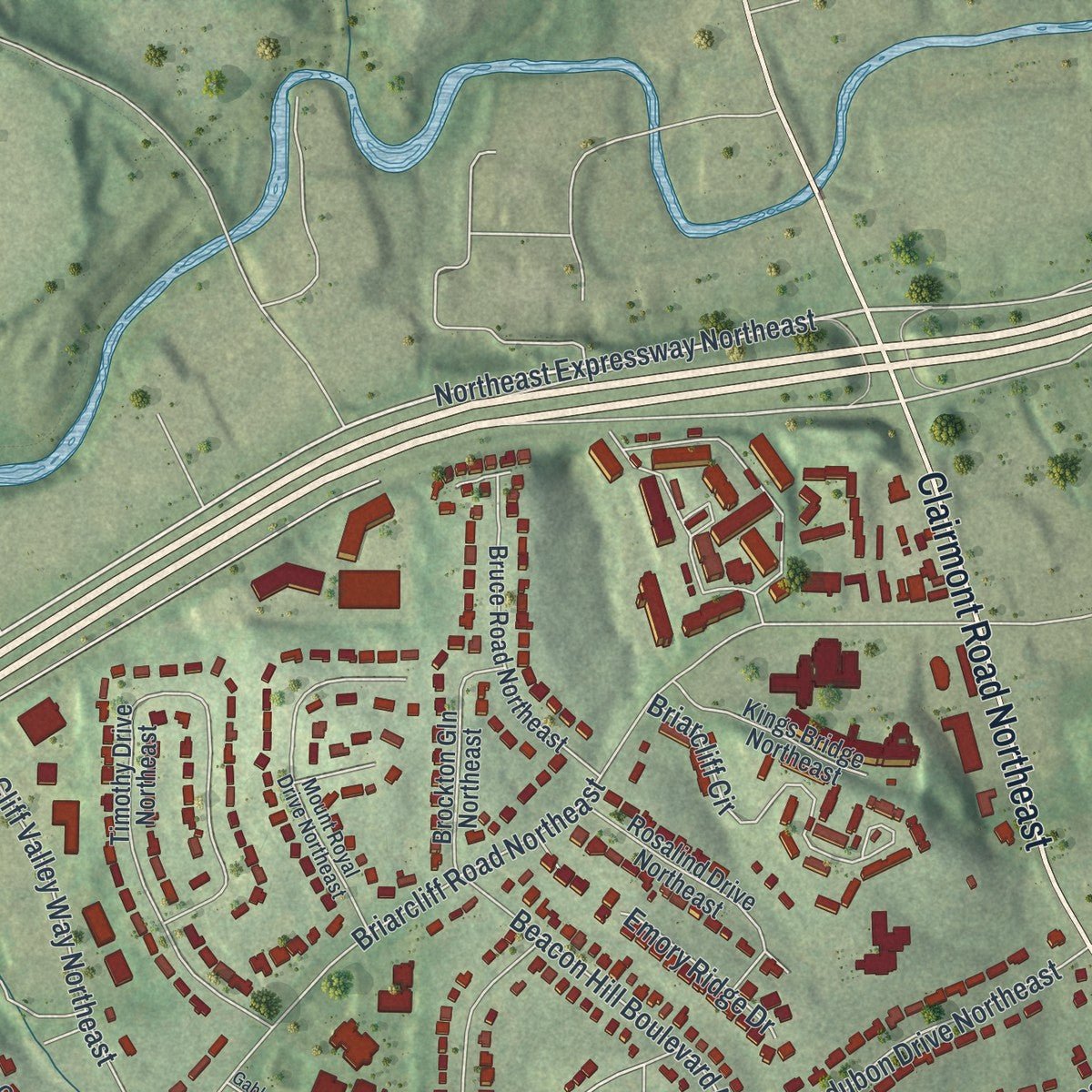
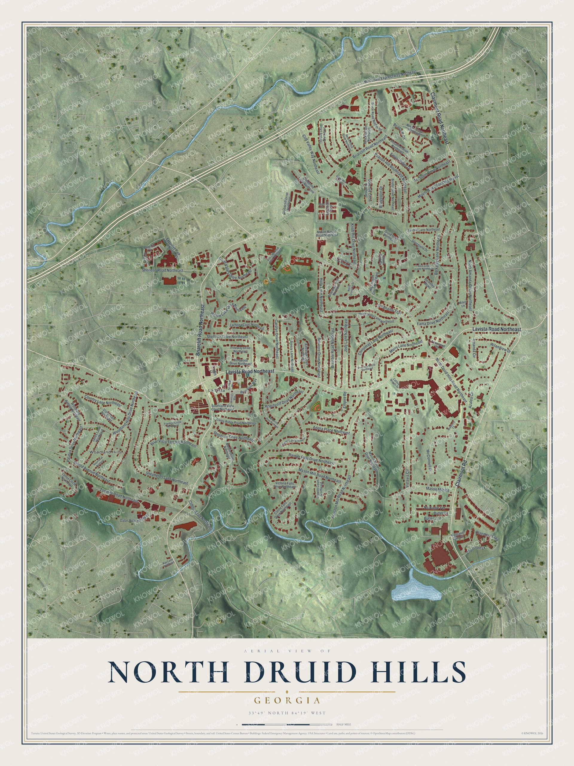
Explore North Druid Hills, Georgia from a whole new perspective. Created using aerial imagery and detailed geographic data, this map captures North Druid Hills building by building, with labeled streets, familiar landmarks, and shaded topographical relief that highlights the natural contours of the landscape.
Combining modern data with the timeless character of a vintage atlas, this map is just as interesting up close as it is beautiful on the wall. Whether you grew up in North Druid Hills, spent memorable years there, or call it home today, this unique map is a great way to celebrate a place that means something to you. Zoom in on the preview to look for your street, and then order a print to put your memories on the wall.
Three ways to hang it
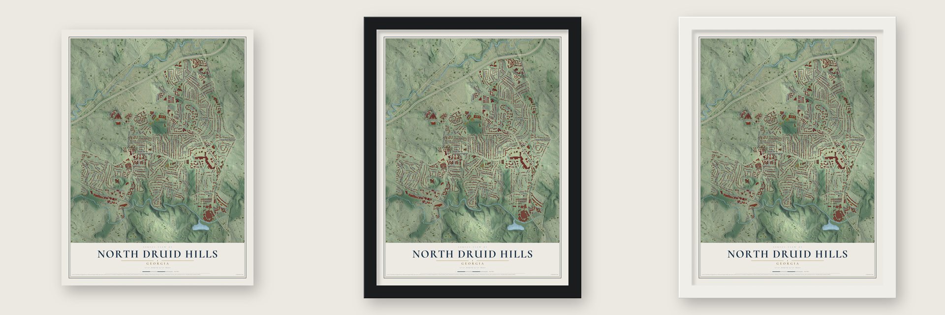
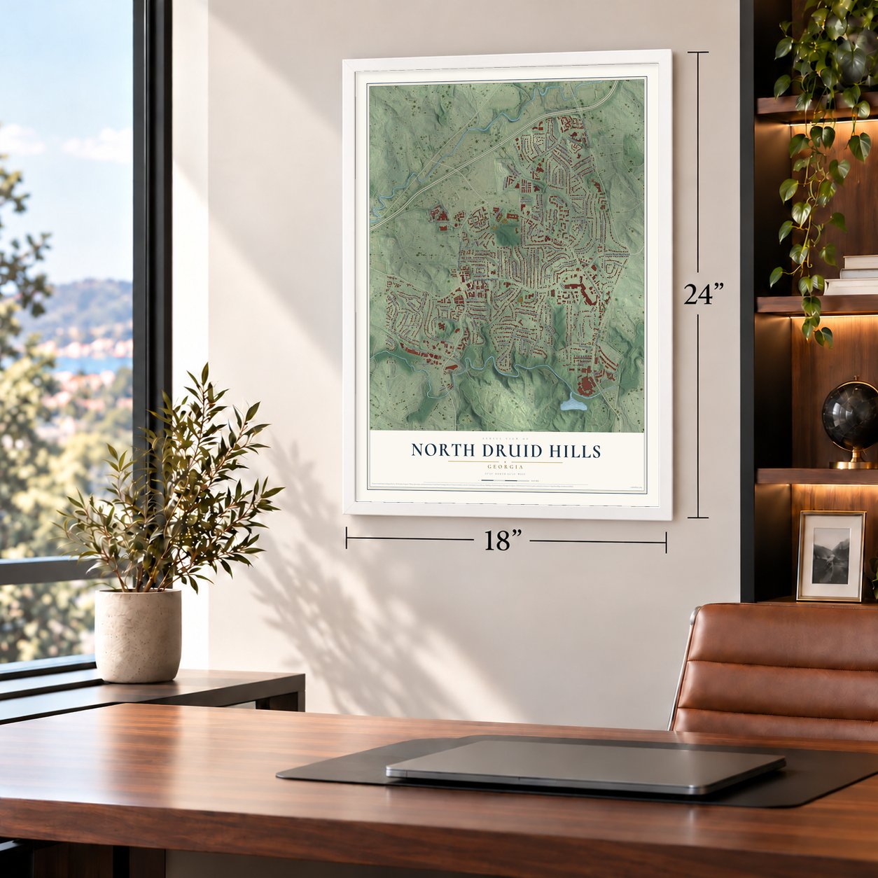
Unframed archival matte, a black wood frame or a white wood frame.
Up close
Geography Worth Displaying
This map was created using accurate cartographic data and authoritative geographic sources, including the U.S. Geological Survey (USGS) and FEMA. The map brings together terrain, waterways, roads, and building detail. The majority of the streets are labeled, houses are accurately depicted, and the topography is derived from government sources. Combining local data with carefully composed color and shading leads to this beautifully detailed North Druid Hills artwork for your wall.
Rather than simply showing street outlines, we’ve included as many of the street names as we could reasonably fit on the map while keeping their names legible. Zoom in on the high resolution preview to see exactly what’s on the map. We truly set out to create a statement piece for anyone who loves North Druid Hills. So whether it’s for you, or a gift for someone you love, we hope this map of North Druid Hills brings back fond memories.
Explore the full map of North Druid Hills, Georgia and read about the local places it shows.

About North Druid Hills, Georgia
North Druid Hills is an unincorporated community of 20,385 people in DeKalb County, and many locals call it Briarcliff or Toco Hills. The area stayed rural until 1965. That year Executive Park went up on an old dairy farm, and it became the first suburban office park in metro Atlanta. Suburban building boomed in the years that followed.
After Brookhaven became a city in 2012, a civic group called the North Druid Hills Study Group proposed a new city of Briarcliff. Backers wanted more local control. Critics said the area had no clear identity, center or boundaries. The first effort failed, and a second try, called "Briarcliff 2.0," was announced in March 2014. In 2015 voters turned down a city named LaVista Hills by just 136 votes out of about 14,000, so the community is still unincorporated.
- Major Houston's millMajor Washington Jackson Houston's 1876 gristmill sat on his land along the north bank of Peachtree Creek's South Fork. Neighbors came for cornmeal and his parties, and around 1900 he made the mill an early hydroelectric plant. Contractor Harry J. Carr bought the land in the 1920s and put up a house of fieldstone and wrought iron. Emory University bought and restored it in the 1960s; the Houston Mill House, 849 Houston Mill Road, now hosts dinners and events.
- A center of Orthodox JudaismAfter World War II and into the 1950s, many Jewish families moved here from the Old Fourth Ward and from Washington-Rawson, the neighborhood on the site of today's Turner Field. The Orthodox synagogue Congregation Beth Jacob followed them to LaVista Road in 1962. Today three Jewish schools, six congregations and a mikveh stand along or near that road.
- Home of the Greek FestivalThe Greek Orthodox congregation here ranks among the biggest in the Southeast. Its Annunciation Greek Orthodox Cathedral is where the Greek Orthodox Metropolis of Atlanta's archbishop has his seat, and every year the church puts on the Atlanta Greek Festival.
- How Toco Hills got its nameTwo shopping centers opened at LaVista and North Druid Hills roads in the 1950s, and the neighborhood took its name from the Toco Hill center. Some say the developer picked Toco as a Brazilian Indian word for good luck. Others say it is short for "top of the County." The center sat on a hill, and over time people began calling the area Toco Hills.
- A 19-story landmarkIn the 1970s the 19-story Executive Park Motor Hotel went up on the southeast side of the spot where I-85 meets North Druid Hills Road. It later served as a BellSouth training center. Children's Healthcare of Atlanta bought it for $9.6 million in January 2013, and the modernist tower came down in November 2014.
Find your street
Names on the North Druid Hills map
Every name below is printed on this map. Look for your street, your school, the park where you played, or the pond down the road.
Places and landmarks3
- La Vista
- Woodland Hills
- Clairmont Lake
Streets and roads115
- Lavista Road Northeast
- Briarcliff Road Northeast
- Clairmont Road Northeast
- Clairmont Road
- North Druid Hills Road Northeast
- Bridgeport Drive
- Biltmore Drive Northeast
- Northeast Expressway Northeast
- Knob Hill Drive Northeast
- Houston Mill Road Northeast
- Berkeley Lane Northeast
- Vistavia Circle
- Mason Mill Road
- Shepherds Lane Northeast
- Fama Drive Northeast
- Rainier Falls Drive Northeast
- Holly Lane Northeast
- Mason Mill Road Northeast
- McConnell Drive
- Christmas Lane Northeast
- Beacon Hill Boulevard Northeast
- Willow Lake Drive Northeast
- Briar Vista Terrace Northeast
- Zonolite Road Northeast
- Sheffield Drive Northeast
- Woodland Hills Drive Northeast
- Merry Lane Northeast
- Jody Lane Northeast
- Bramble Road Northeast
- North Amanda Circle Northeast
Show all 115 streets
- Amanda Circle
- Sheridan Road Northeast
- Adelia Place Northeast
- Arnold Avenue Northeast
- Stephens Drive Northeast
- Carolyn Drive Northeast
- Country Lane Northeast
- Druid Valley Drive Northeast
- Cliff Valley Way Northeast
- Beechcliff Drive Northeast
- Mount Brian Road Northeast
- Briarcliff Circle
- Azalea Circle
- No Name Yet
- Audubon Drive Northeast
- Palafox Drive Northeast
- Empire Road
- Clairmont Lk
- Wilandrew Drive
- Clifton Road Northeast
- Butler's Lane
- Stephanie Trail
- Emory Ridge Drive
- Butler Lane
- Georgiana Drive
- Briar Vista Way
- Castle Falls Drive Northeast
- Timothy Drive Northeast
- Vista Trail Northeast
- Belle Isle Circle Northeast
- Druid Oaks Northeast
- Mason Woods Drive Northeast
- Briarhill Lane
- Lively Ridge Road Northeast
- Burton Drive Northeast
- Highland Lake Circle
- High Haven Court Northeast
- Bruce Road Northeast
- Lenox Circle Northeast
- Janes Lane Northeast
- Mount Mariah Road Northeast
- Woodland Avenue Northeast
- North Holly Lane Northeast
- Kittredge Court Northeast
- Executive Park Drive Northeast
- Rosalind Drive Northeast
- Lachona Court Northeast
- Bristol Drive Northeast
- Southland Vista Court Northeast
- Breezy Lane Northeast
- Dalewood Drive Northeast
- Jan Hill Lane Northeast
- Brockton Gln Northeast
- Woodcliff Drive Northeast
- Dalon Road Northeast
- Kings Bridge Northeast
- Briaroaks Trail Northeast
- Victoria Falls Drive Northeast
- Linden Court
- Childerlee Lane Northeast
- Liawen Court Northeast
- Laurel Park Circle
- Pineway Drive Northeast
- Townsend Court
- Berkeley Mews
- Sabastian Point
- Miles Lane
- Franklin Circle Northeast
- North Crossing Drive
- Kittredge Park Road Northeast
- Mount Royal Drive Northeast
- Emory Place Drive Northeast
- Fern Creek Lane Northeast
- Pinetree Circle Northeast
- Calibre Woods Drive
- Waldorfs Court
- Kay Lane Northeast
- Avon Cv
- Apartment Road
- Arborvista Drive Northeast
- Briarhill Lane Northeast
- Ralph Road Northeast
- Gables Way Northeast
- Rogeretta Drive Northeast
- Briarvista Way
Names are listed as they appear on the printed map. Zoom into the product photos to find them.
The art of mapping a place
How This Map Was Made
Real places. Remarkable detail. Discover the layers that turn geographic data into a map of home.

The view from above
Aerial imagery reveals the character of the land: woodland, open fields, and the patterns of a place.

The shape of the land
Elevation data brings hills, valleys, and subtle changes in the landscape into view.

The details of home
Roads, waterways, and building footprints come together to make the map feel unmistakably local.

Geography becomes art
Considered color, shading, and typography bring the layers together in a map made for your wall.


Process illustrated with Mendon, Massachusetts. Aerial imagery: USDA NAIP. Terrain: USGS 3D Elevation Program. Map details and finished artwork: KNOWOL.
The Details
About This Print
Choose an archival matte print, or a black or white Ayous wood frame. The archival matte print is unframed.
Select your size and finish above to see the matching product image and price.
Materials & Craftsmanship
A contemporary map with the character of a classic atlas, printed on archival matte paper. Optional frames are made from Ayous wood.
Your printed map does not include the watermark shown in the full-map preview.
Shipping & Delivery
Free shipping within the United States. Every print is made to order in the USA.
Buying a gift? Add a note in your cart and we'll include it. We never put prices in the package.
Prints ship within 2 to 3 business days. Allow 7 to 10 days total from ordering for delivery. Timing may vary during holidays or periods of high order volume.
Read our shipping policy.
Returns and damaged prints
Each print is made to order. Change-of-mind refunds are not available after production.
If your print arrives damaged, misprinted or incorrect, contact support@knowol.com within 30 days of receiving it. Include your order number, photos and a description of the issue.
Read our full refund and replacement policy. For questions about your order, email support@knowol.com.
Find your town
Looking for another city?
Find a map of home in our Georgia collection, or any town in the country.
Nearby
Maps of towns near North Druid Hills
Know someone from one of these towns? Their map makes a great gift.
 Emory
Emory, Georgia
From $39.99See the map
 Lindridge-Martin Manor
, Georgia
From $39.99See the map
 Edmund Park
, Georgia
From $39.99See the map
More maps nearby: Morningside-Lenox Park, Pine Hills, North Decatur, Lindbergh-Morosgo and Druid Hills.