
Search for another town

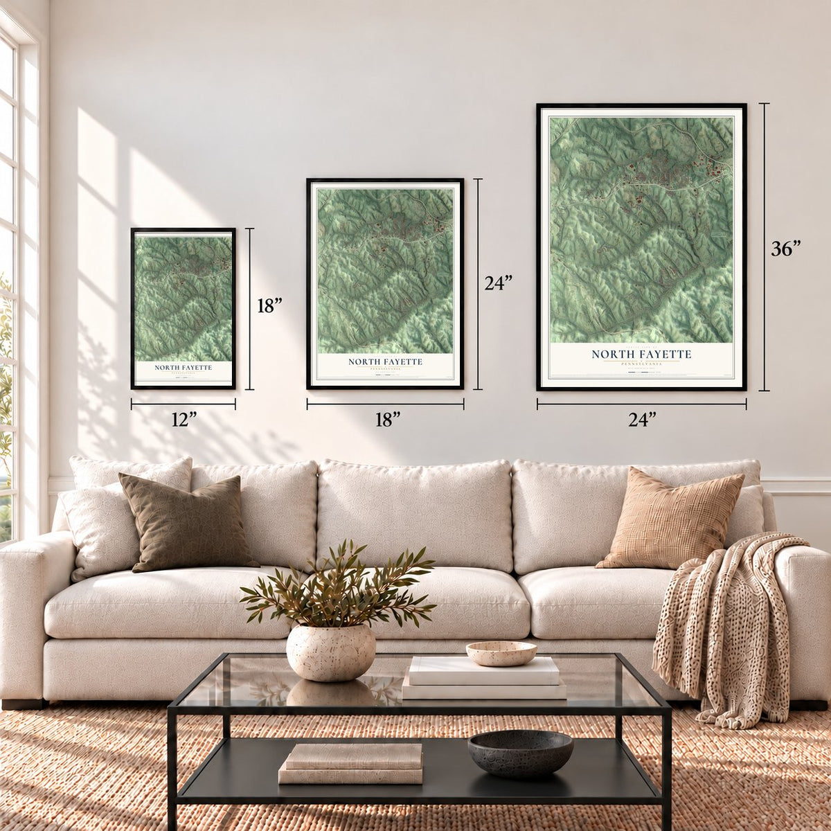



Free U.S. delivery 7 to 10 days after you order
North Fayette, Pennsylvania Map Art
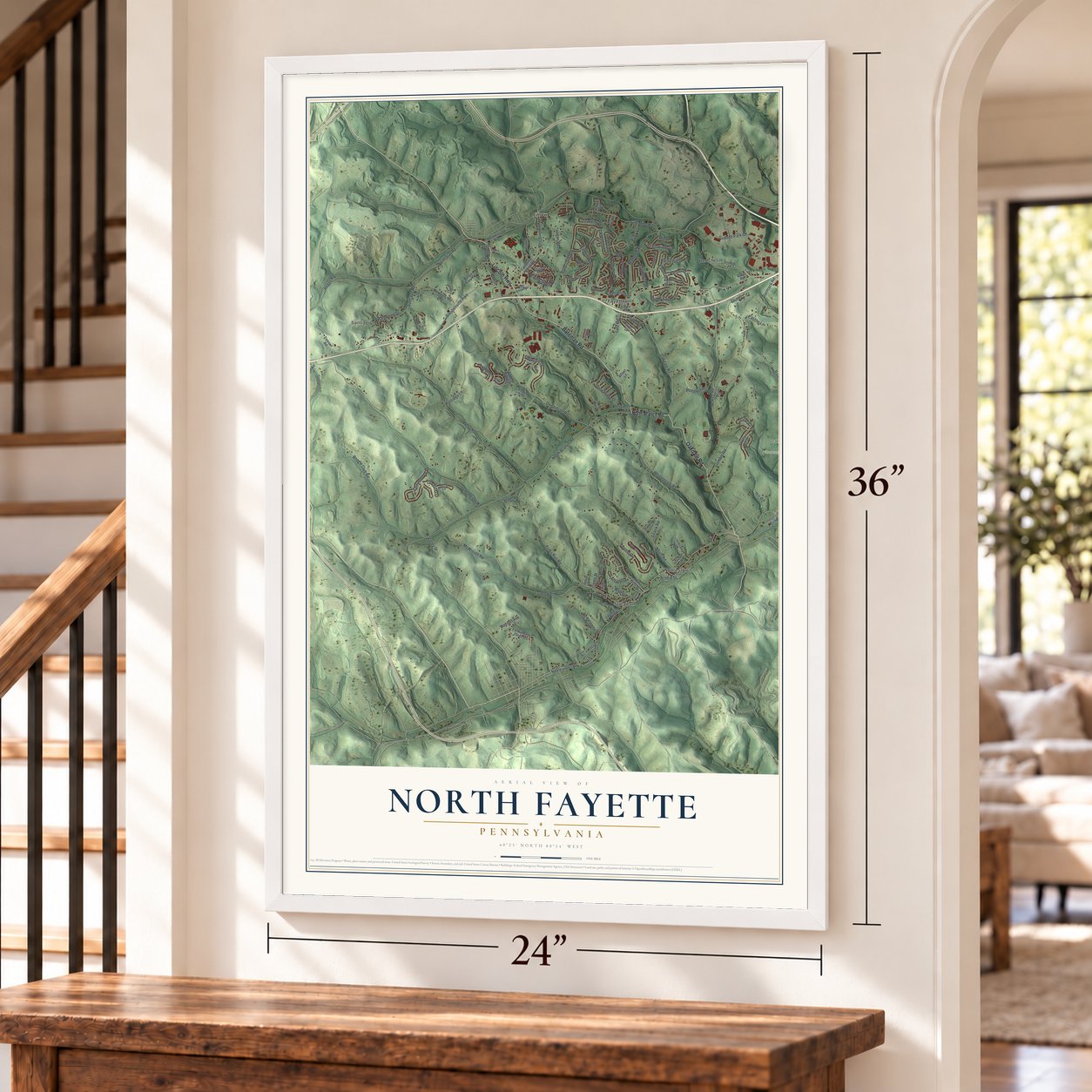
A new map of North Fayette, Pennsylvania, made in 2026 and printed to order on thick archival matte paper.
12" x 18" Archival Matte Print
A Map of Home. A Work of Art.
Explore North Fayette, Pennsylvania from a whole new perspective. Created using aerial imagery and detailed geographic data, this map captures North Fayette building by building, with labeled streets, familiar landmarks, and shaded topographical relief that highlights the natural contours of the landscape.
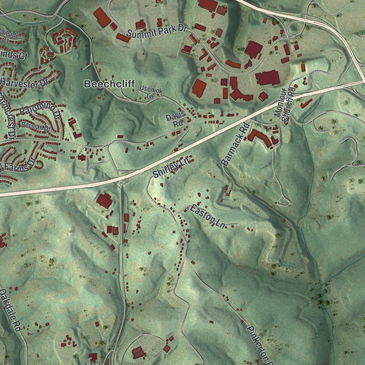
Combining modern data with the timeless character of a vintage atlas, this map is just as interesting up close as it is beautiful on the wall. Whether you grew up in North Fayette, spent memorable years there, or call it home today, this unique map is a great way to celebrate a place that means something to you. Zoom in on the preview to look for your street, and then order a print to put your memories on the wall.

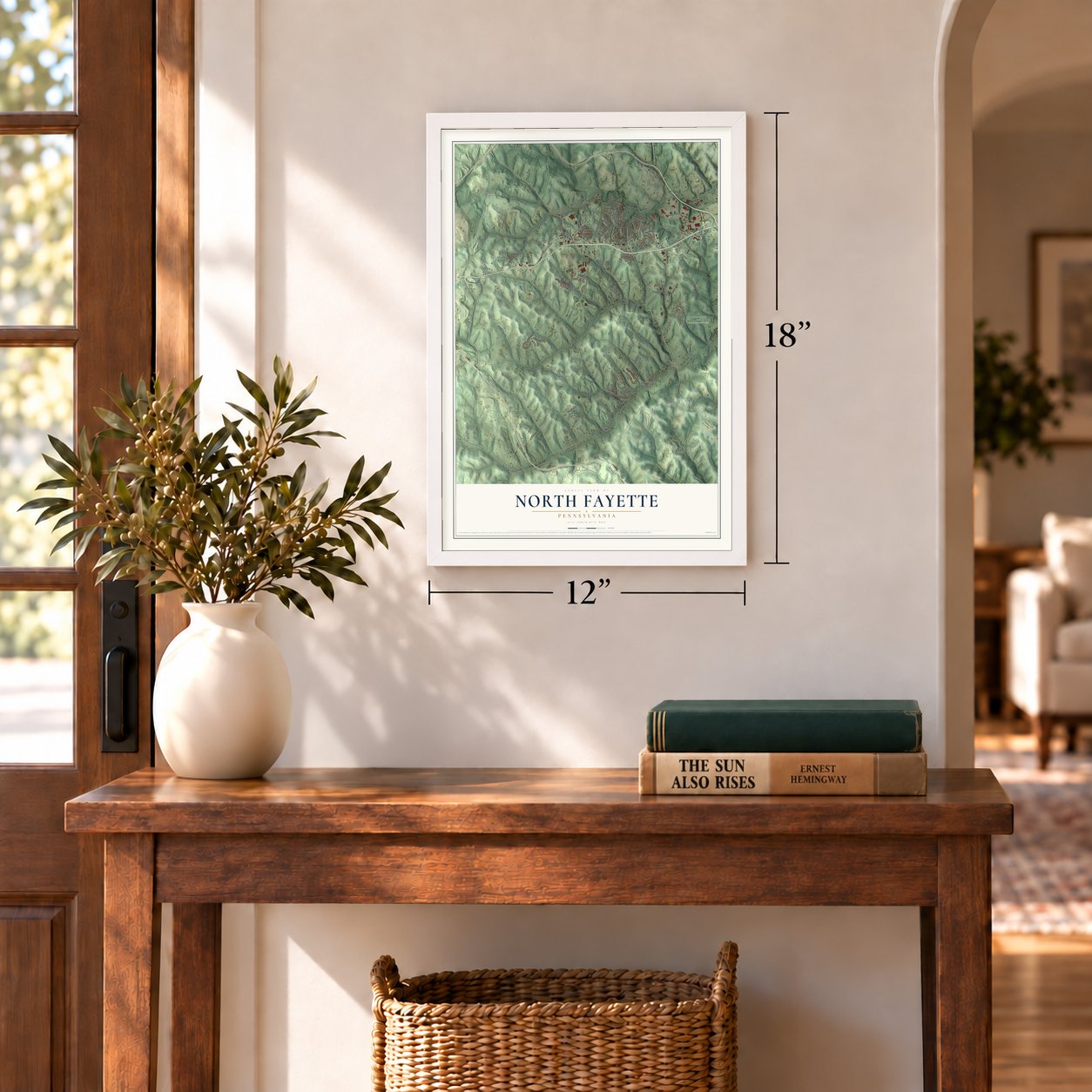
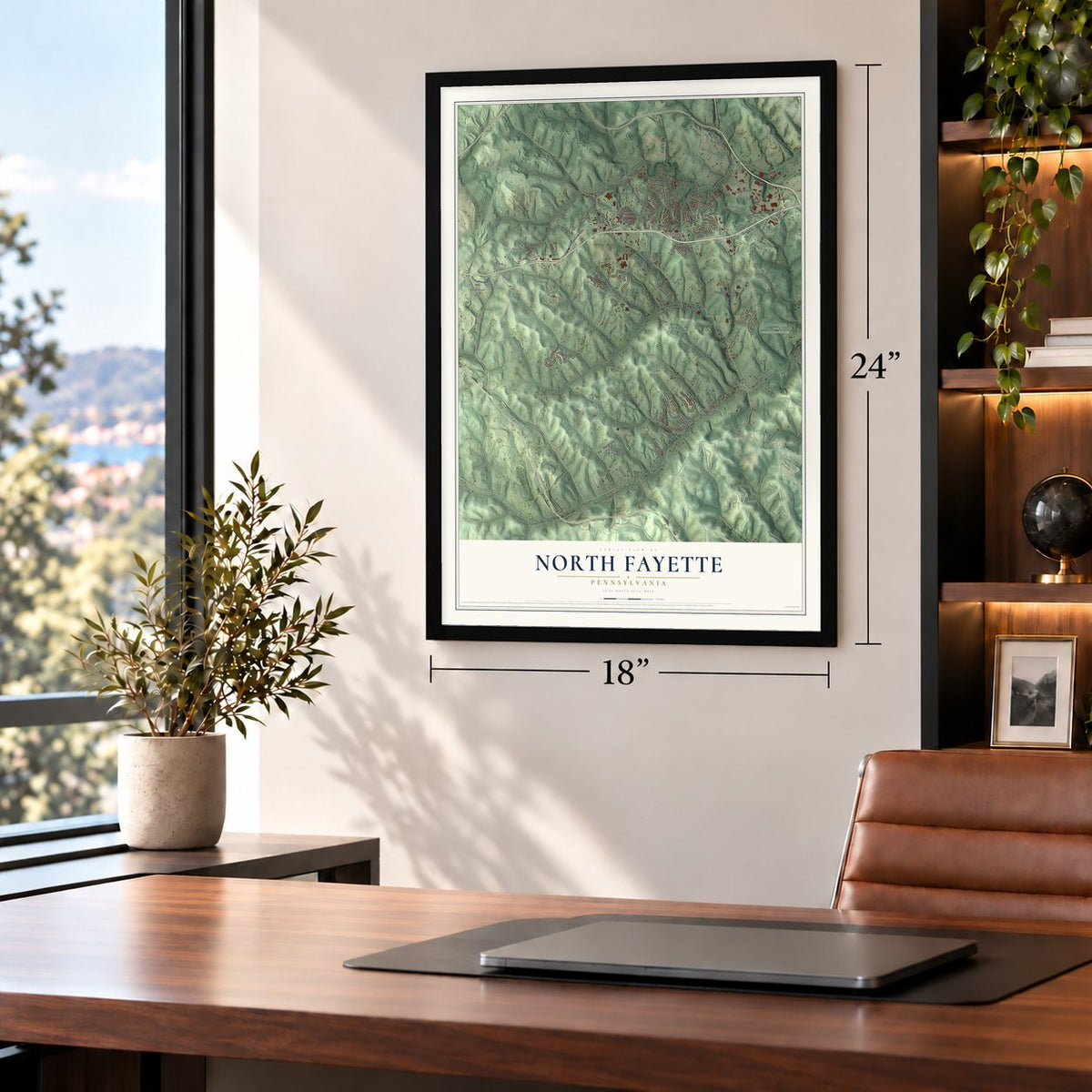
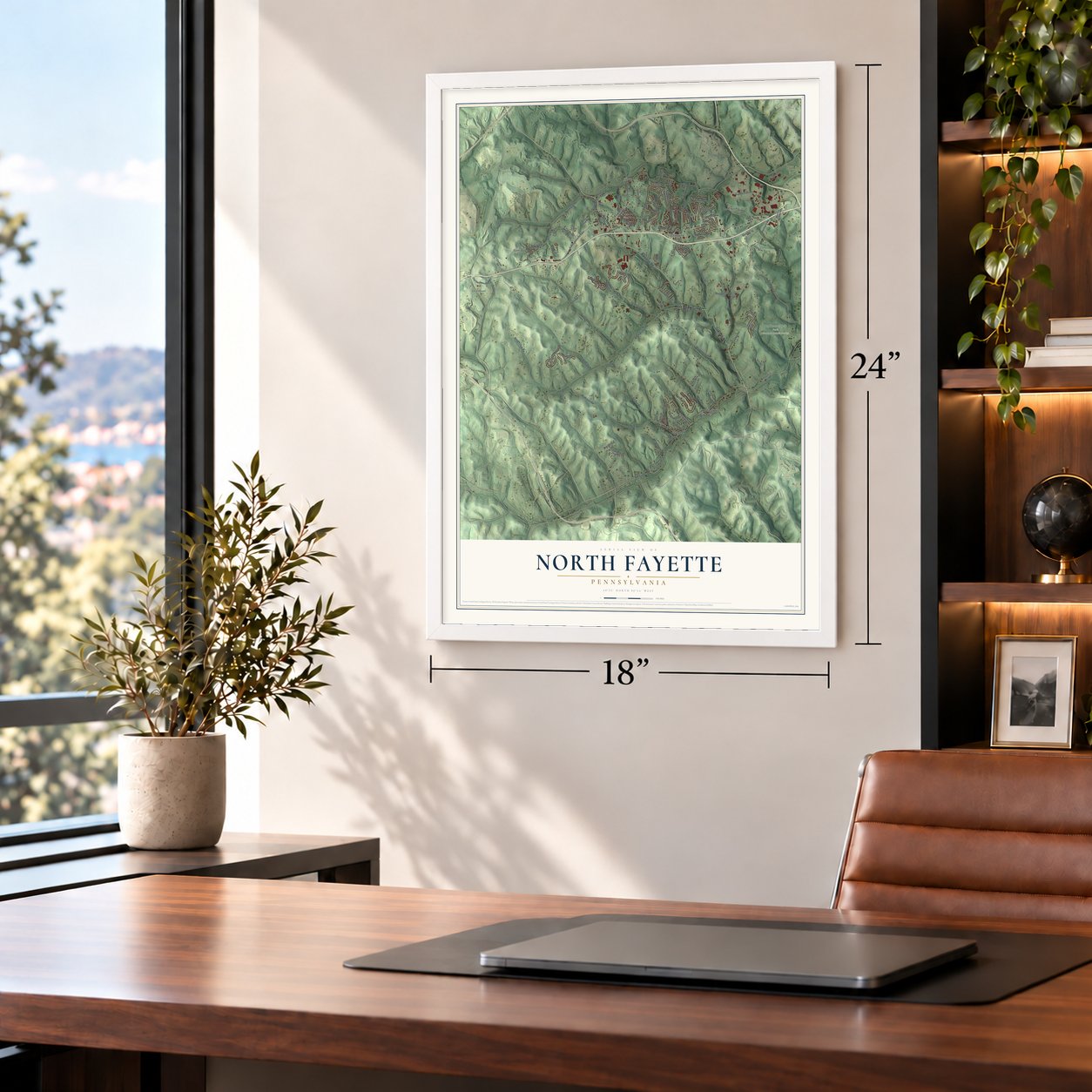
Three ways to hang it
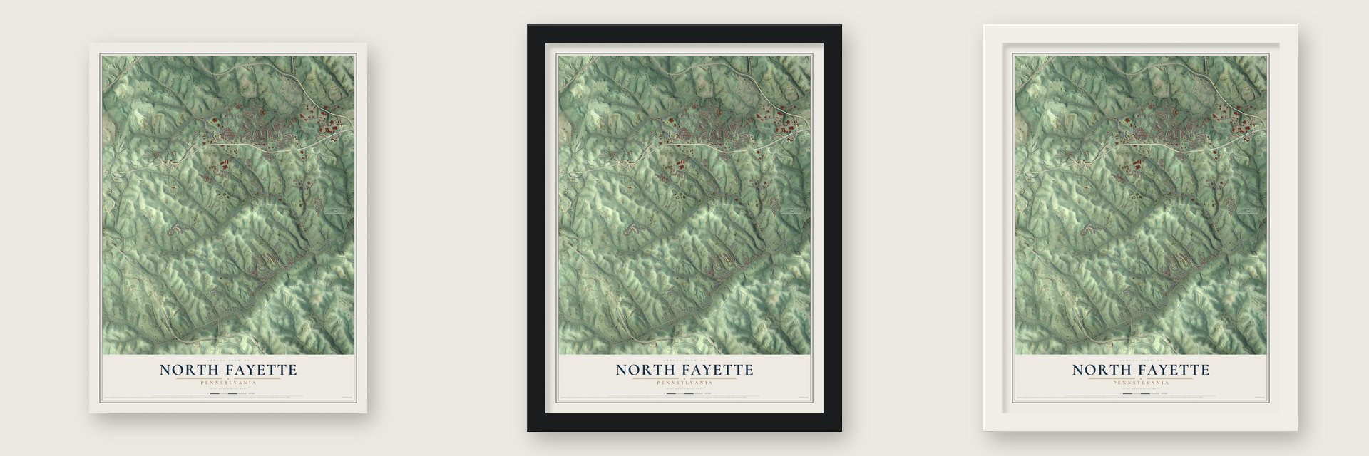
Unframed archival matte, a black wood frame or a white wood frame.
Up close
Geography Worth Displaying
This map was created using accurate cartographic data and authoritative geographic sources, including the U.S. Geological Survey and the Census Bureau. The map brings together terrain, waterways, roads, and building detail. The majority of the streets are labeled, houses are accurately depicted, and the topography is derived from government sources. Combining local data with carefully composed color and shading leads to this beautifully detailed North Fayette artwork for your wall.
Rather than simply showing street outlines, we’ve included as many of the street names as we could reasonably fit on the map while keeping their names legible. Zoom in on the high resolution preview to see exactly what’s on the map. We truly set out to create a statement piece for anyone who loves North Fayette. So whether it’s for you, or a gift for someone you love, we hope this map of North Fayette brings back fond memories.
Read the story behind this map of North Fayette, Pennsylvania from 2026.
About North Fayette, Pennsylvania
North Fayette is a township of 16,167 people in Allegheny County, a suburb of Pittsburgh on the Washington County line. Montour's Run and Robinson's Run mark its ends, and their many branches drain the land. Half Crown Run is the largest of them. The old Mingo trail crossed the township, and the road from Noblestown to Beaver Falls still follows its route.
In the frontier years, raiding parties used that trail, and settlers here were sometimes attacked. A man named McNaminy was killed at harvest time while he walked home ahead of his neighbors from Findlay Township, where they had been helping each other bring in crops. In 1778 settlers built a blockhouse on the farm of William Turner, who had lived here since 1774. A stockade ringed the sturdy building and enclosed a spring that never ran dry.
- The last raid, about 1780In the spring of about 1780, William Turner's four children and a Mr. Fulks went to make maple sugar in what is now Beaver County. Several days later Indians arrived and killed George Turner. Fulks might have escaped, but a white dog followed him barking, and he was caught and killed. The raiders took Betsey, Polly and their brother William, who soon died. The sisters survived the long march and were ransomed at a British post in the northwest.
- By packhorse from MarylandAround 1780 Alexander Ewing left Cecil County, Maryland, with his wife and two children, carrying everything they owned on packhorses. James Ewing, already settled in Collier Township, took them in. The family later made a permanent home near Fayetteville, where many Ewings still lived when the county history was written.
- Presidents in 2014 and 2018Barack Obama and Joe Biden, then president and vice president, came to the West Hills Center of the Community College of Allegheny County on April 16, 2014. They held up its job training as a model for the nation and urged schooling matched to what the economy needs. Four years later, on January 19, 2018, the township's H&K Equipment hosted a visit from President Donald Trump.
Find your street
Names on the North Fayette map
Every name below is printed on this map. Look for your street, your school, the park where you played, or the pond down the road.
Places and landmarks9
- Champion
- Santiago
- Pittsburgh Botanic Garden
- Settlers Cabin Park
- Beechcliff
- Enlow
- Fayetteville
- Noblestown
- Sturgeon
Streets and roads127
- Bateman Road
- Oakdale Road
- Lincoln Highway
- Noblestown Road
- North Branch Road
- Falls Church Road
- Stewart Road
- Steubenville Pike
- Seabright Road
- Cliff Mine Road
- Kelso Road
- McKee Road
- North Road
- Whittengale Road
- Finks Run Road
- Gamble Road
- Pinkerton Run Road
- Summit Park Drive
- Donaldson Road
- Pattridge Lane
- Logan Road
- Mahoney Road
- McWreath Road
- Forest Glen Drive
- North Star Road
- Santiago Road
- Dupont Drive
- Sitarik Road
- Walden Way
- Commodore Drive
Show all 127 streets
- Hawthorne Drive
- Crawford Street
- Springhill Drive
- Kennedy Road
- Stonebridge Drive
- Old Steubenville Pike
- Robb Hill Road
- Lutz Road
- Farmcrest Drive
- Hankey Farms Drive
- Fairfield Lane
- Palomino Drive
- Easton Lane
- Crosswinds Court
- Beagle Club Road
- Barmack Road
- Wall Street
- Darlene Drive
- Fayette Street
- Elk Rush Drive
- Margarette Street
- Hill Road
- Harvester Drive
- Shirley Lane
- Hans Road
- Valley Street
- Hudson Avenue
- Willow Street
- Florida Drive
- Settlers Drive
- Boggs Road
- Glenn Street
- First Street
- Lilac Court
- Timberglen Drive
- California Hollow Road
- Valleyview Drive
- West Allegheny Road
- Saddle Ridge Drive
- Canterbury Drive
- Estate Drive
- Valley View Road
- Dawson Road
- Georges Lane
- Fannie Street Extended
- Carolina Drive
- Compass Court
- Holly Hill Drive
- Montour Church Road
- Pointe West Drive
- Albert Lane
- Raymond Drive
- Old Mill Road
- Butternut Drive
- Pinoak Lane
- Maple Lane
- Patterson Avenue
- Jess Lane
- Chelsea Drive
- Champion Street
- Industrial Park Drive
- Anchor Court
- Southeast Drive
- Shagas Lane
- Gay Street
- Jeffrey Circle
- Boyd Lane
- Casteel Drive
- Locust Lane
- Grace Lane
- Davis Road
- Arlington Drive
- Timber Trail
- Hoffman Drive
- Village Circle
- Hill Place Drive
- Everly Lane
- Chestnut Street
- Miller Lane
- East Steuben Street
- Persian Drive
- Crawford Road
- Trailside Court
- Usenick Lane
- Dixie Drive
- Skyview Drive
- School Avenue
- Emily Lane
- Valley View Drive
- Green Meadow Drive
- Fox Chase Drive
- Crescent Hill Road
- Church Road
- Pineridge Drive
- Alexander Drive
- Bridal Lane
- Willow Lane
Names are listed as they appear on the printed map. Zoom into the product photos to find them.
The art of mapping a place
How This Map Was Made
Real places. Remarkable detail. Discover the layers that turn geographic data into a map of home.

The view from above
Aerial imagery reveals the character of the land: woodland, open fields, and the patterns of a place.

The shape of the land
Elevation data brings hills, valleys, and subtle changes in the landscape into view.

The details of home
Roads, waterways, and building footprints come together to make the map feel unmistakably local.

Geography becomes art
Considered color, shading, and typography bring the layers together in a map made for your wall.


Process illustrated with Mendon, Massachusetts. Aerial imagery: USDA NAIP. Terrain: USGS 3D Elevation Program. Map details and finished artwork: KNOWOL.
The Details
About This Print
Choose an archival matte print, or a black or white Ayous wood frame. The archival matte print is unframed.
Select your size and finish above to see the matching product image and price.
Materials & Craftsmanship
A contemporary map with the character of a classic atlas, printed on archival matte paper. Optional frames are made from Ayous wood.
Your printed map does not include the watermark shown in the full-map preview.
Shipping & Delivery
Free shipping within the United States. Every print is made to order in the USA.
Buying a gift? Add a note in your cart and we'll include it. We never put prices in the package.
Prints ship within 2 to 3 business days. Allow 7 to 10 days total from ordering for delivery. Timing may vary during holidays or periods of high order volume.
Read our shipping policy.
Returns and damaged prints
Each print is made to order. Change-of-mind refunds are not available after production.
If your print arrives damaged, misprinted or incorrect, contact support@knowol.com within 30 days of receiving it. Include your order number, photos and a description of the issue.
Read our full refund and replacement policy. For questions about your order, email support@knowol.com.
Find your town
Looking for another city?
Find a map of home in our Pennsylvania collection, or any town in the country.
Nearby
Maps of towns near North Fayette
Know someone from one of these towns? Their map makes a great gift.
 Noblestown
, Pennsylvania
From $39.99See the map
 Enlow
Enlow, Pennsylvania
From $39.99See the map
 Oakdale
, Pennsylvania
From $39.99See the map
More maps nearby: Sturgeon, Imperial, McDonald, Robinson and South Fayette.