
Search for another town


Free U.S. delivery 7 to 10 days after you order
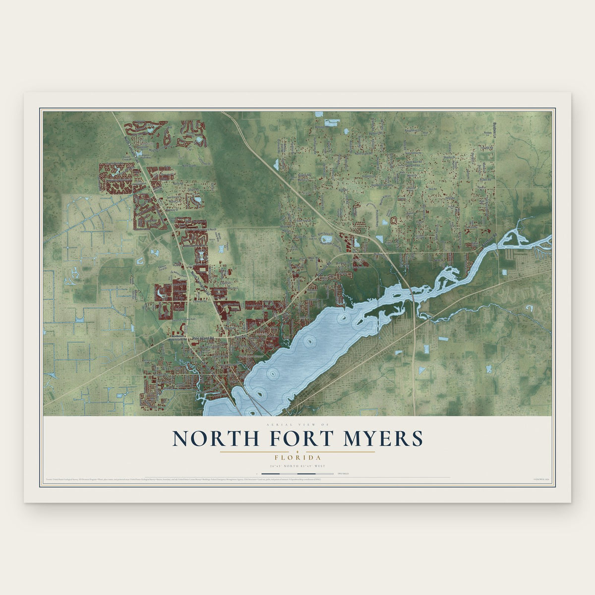
North Fort Myers, Florida Map Art
Building by building, with labeled streets and shaded relief.
12" x 18" Archival Matte Print
A Map of Home. A Work of Art.
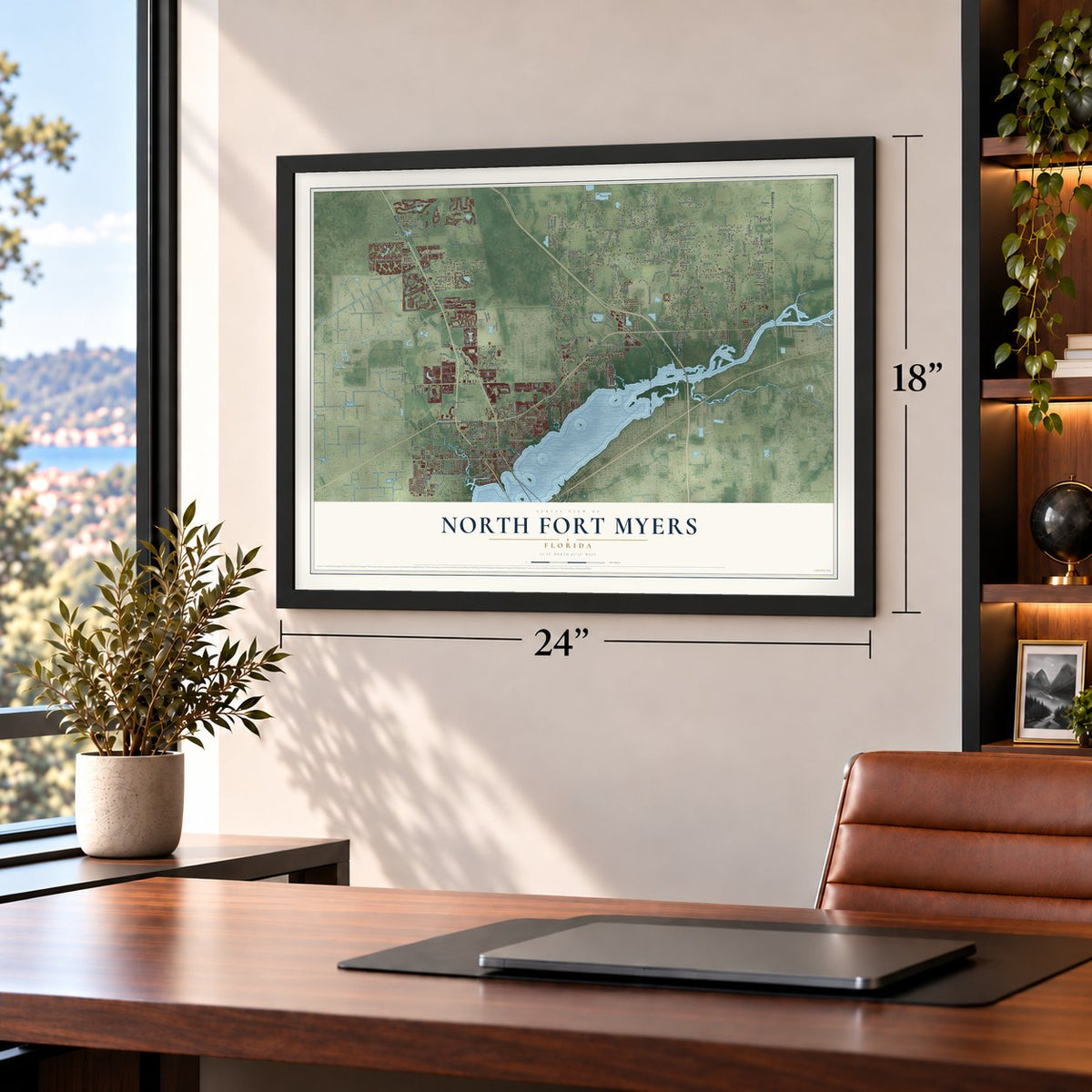
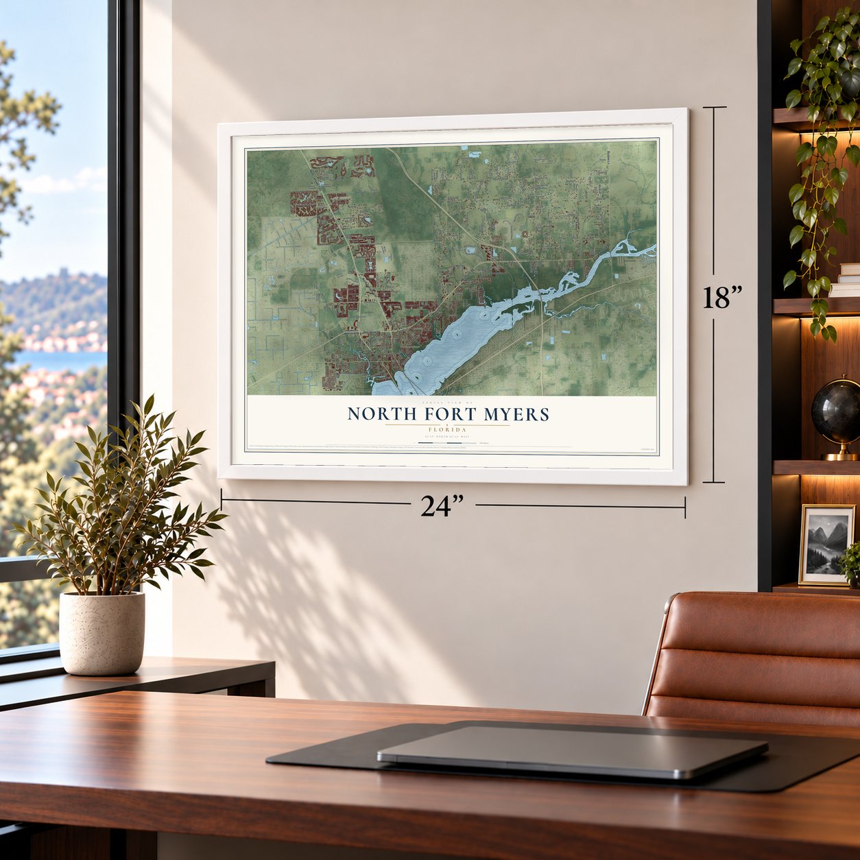
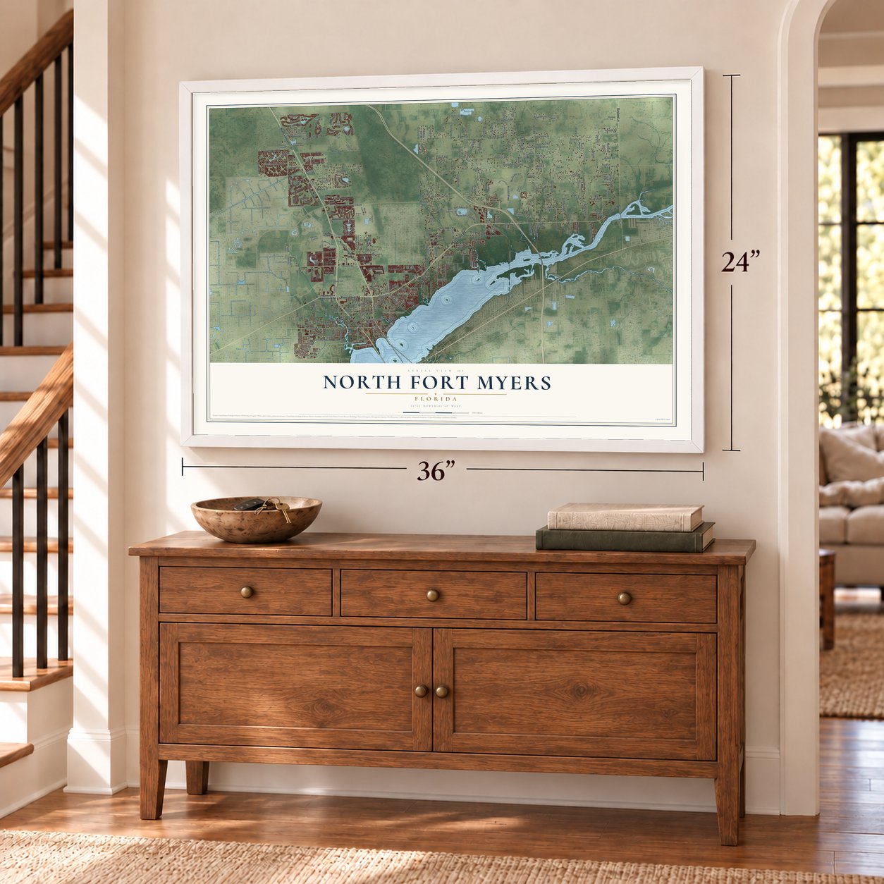
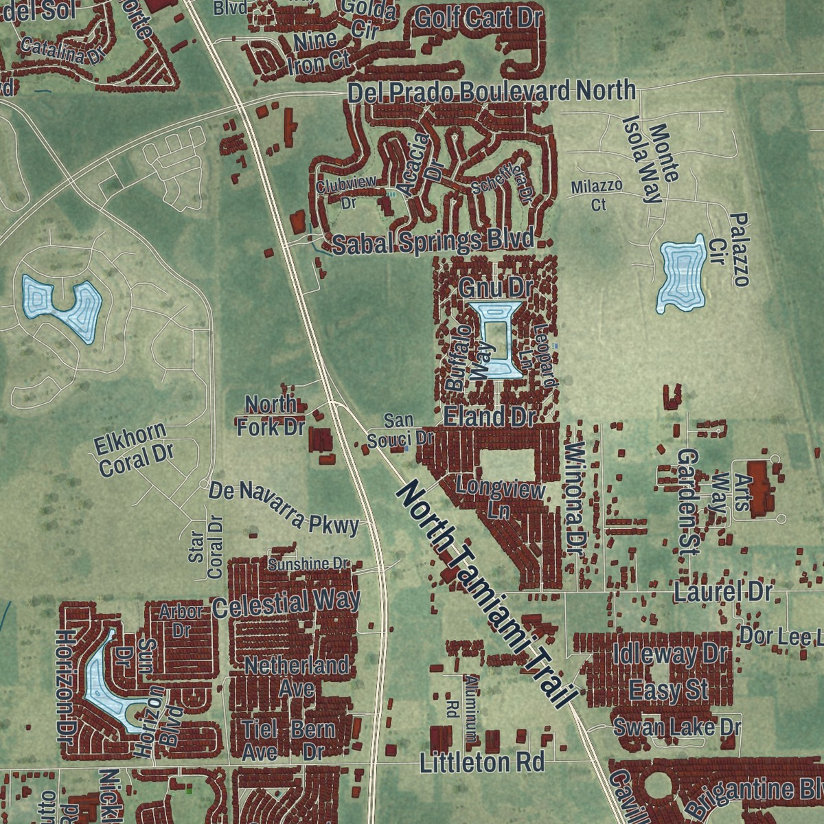
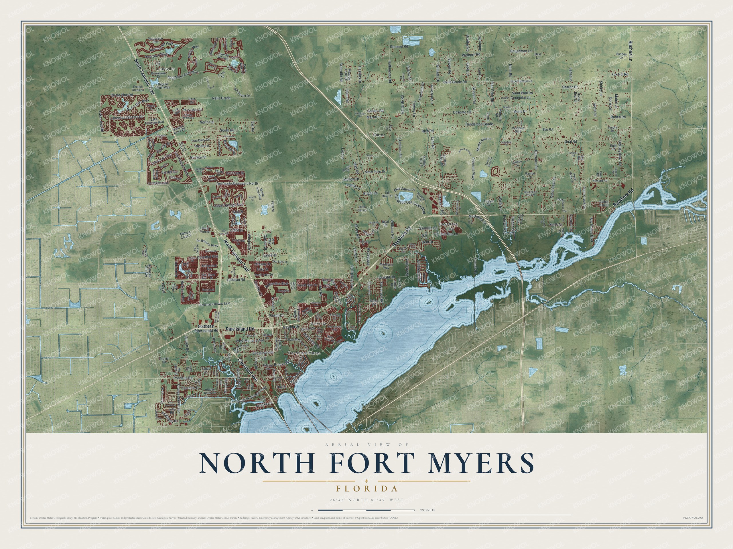
Explore North Fort Myers, Florida from a whole new perspective. Created using aerial imagery and detailed geographic data, this map captures North Fort Myers building by building, with labeled streets, familiar landmarks, and shaded topographical relief that highlights the natural contours of the landscape.
Combining modern data with the timeless character of a vintage atlas, this map is just as interesting up close as it is beautiful on the wall. Whether you grew up in North Fort Myers, spent memorable years there, or call it home today, this unique map is a great way to celebrate a place that means something to you. Zoom in on the preview to look for your street, and then order a print to put your memories on the wall.
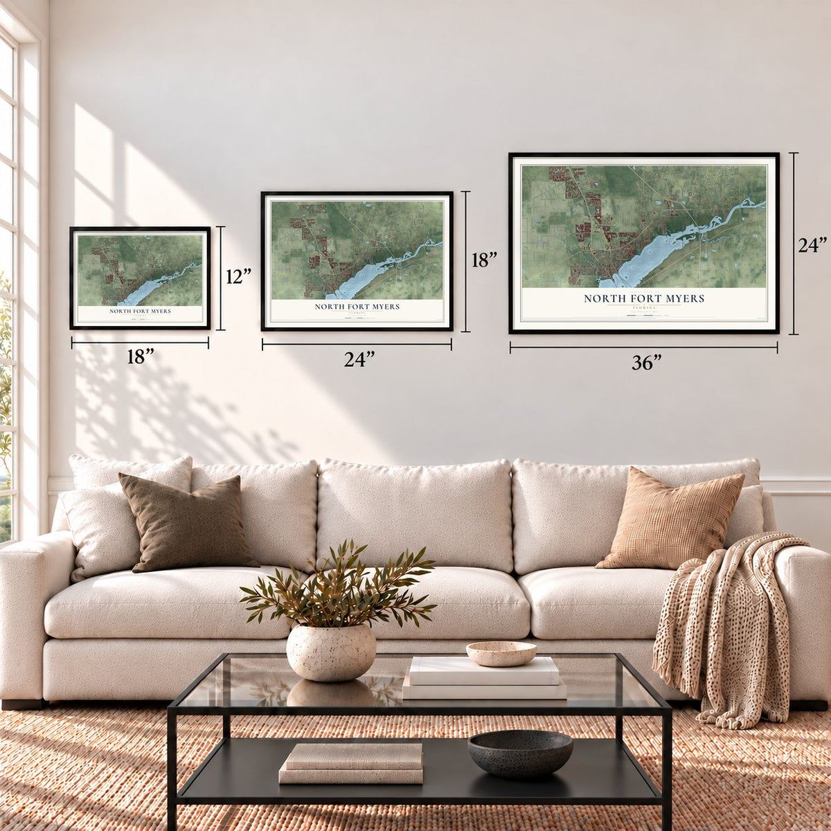
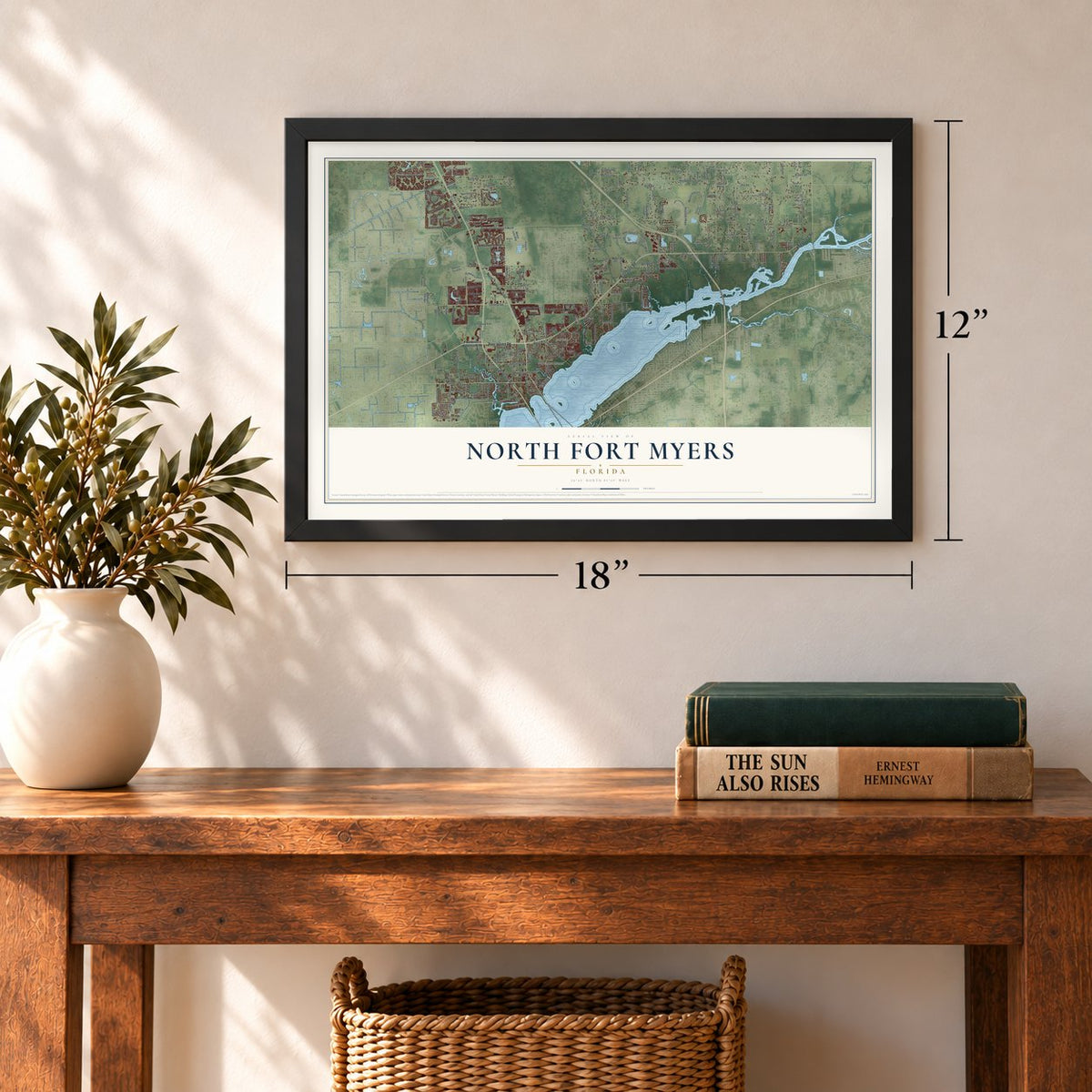
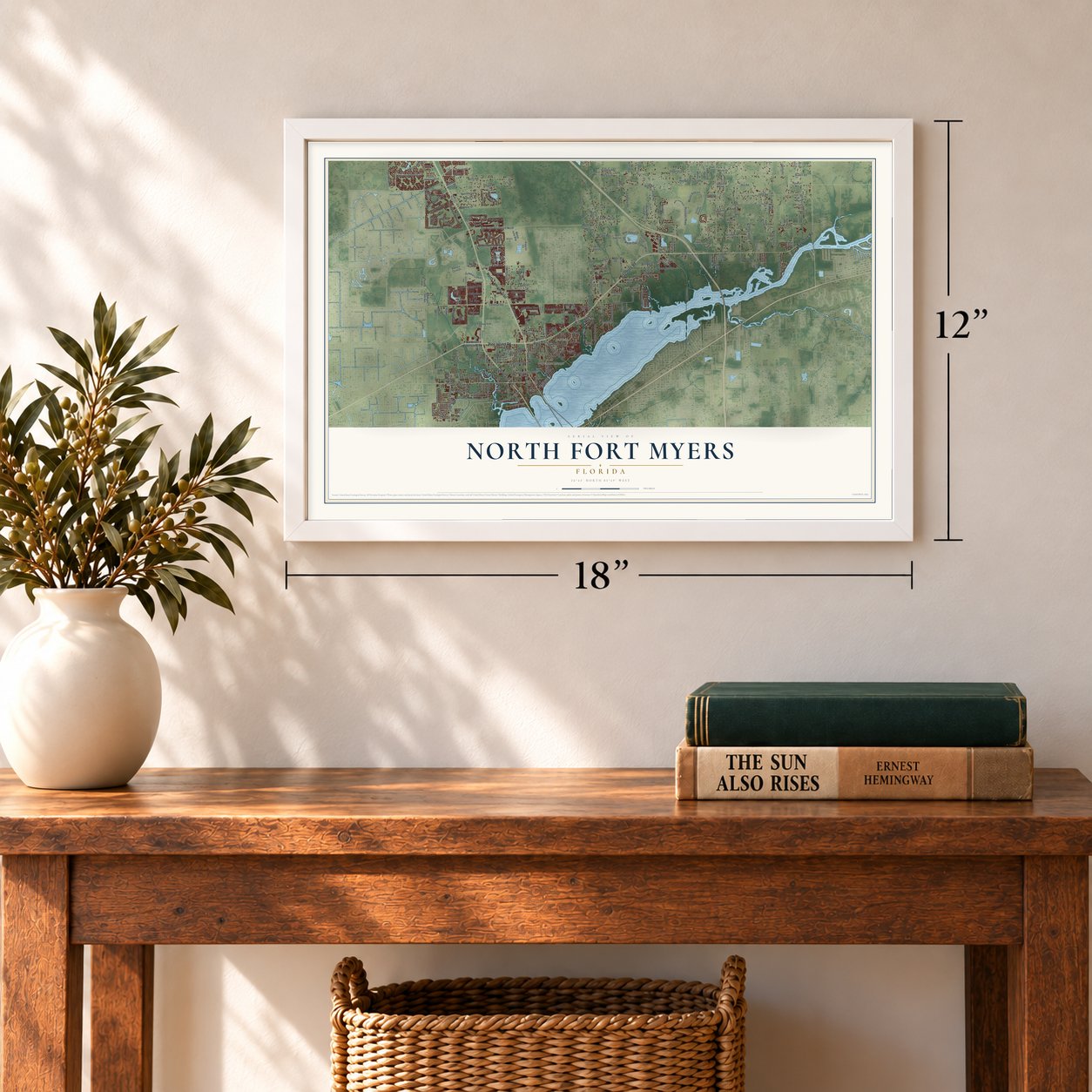
Three ways to hang it
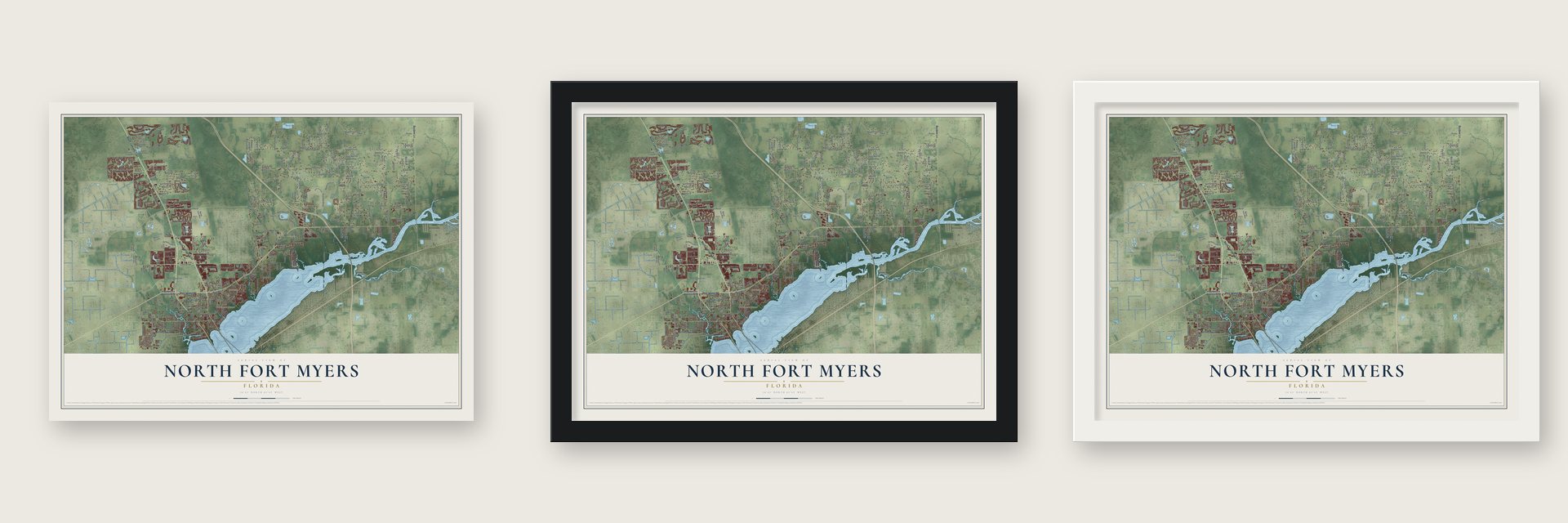
Unframed archival matte, a black wood frame or a white wood frame.
Up close
Geography Worth Displaying
This map was created using accurate cartographic data and authoritative geographic sources, including the U.S. Geological Survey and the Census Bureau. The map brings together terrain, waterways, roads, and building detail. The majority of the streets are labeled, houses are accurately depicted, and the topography is derived from government sources. Combining local data with carefully composed color and shading leads to this beautifully detailed North Fort Myers artwork for your wall.
Rather than simply showing street outlines, we’ve included as many of the street names as we could reasonably fit on the map while keeping their names legible. Zoom in on the high resolution preview to see exactly what’s on the map. We truly set out to create a statement piece for anyone who loves North Fort Myers. So whether it’s for you, or a gift for someone you love, we hope this map of North Fort Myers brings back fond memories.
Read the story behind this map of North Fort Myers, Florida from 2026.

Find your street
Names on the North Fort Myers map
Every name below is printed on this map. Look for your street, your school, the park where you played, or the pond down the road.
Places and landmarks5
- Lakeville
- Bayshore Manor
- Salvista
- Bayshore
- Slater
Streets and roads323
- North Tamiami Trail
- Bayshore Road
- Cleveland Avenue
- Pine Island Road
- Busbee Lane
- Slater Road
- Nalle Road
- Avenue del Vera
- Nalle Grade Road
- Hancock Bridge Parkway
- Pondella Road
- Pritchett Parkway
- Leetana Road
- Circle Pine Road
- Durrance Road
- Sabal Springs Boulevard
- Littleton Road
- Old Bayshore Road
- Lakewood Shores Circle
- Orange Grove Boulevard
- Nalle Grade
- Rich Road
- Shelby Lane
- Del Prado Boulevard North
- Granville Road
- Magnolia Landing Lane
- Deal Road
- Eland Drive
- North Road
- South Road
Show all 323 streets
- Ruden Road
- Henderson Grade
- Palm Creek Drive
- Tressel Road
- Las Palmas Norte
- Shirley Lane
- Matt Road
- Nicklaus Boulevard
- Palo Duro Boulevard
- Del Webb Oak Creek Boulevard
- Samville Road
- Evergreen Road
- Sharon Drive
- Via del Sol
- Wells Road
- Dosonte Lane
- Laurel Drive
- West Mariana Avenue
- Gottarde Road
- Welborn Road
- Barrett Road
- Huffmaster Road
- Lake Loop Road
- Williams Road
- Williams Drive
- Coon Road
- Runway Street
- Old Bridge Road
- Pine Lakes Boulevard
- Donald Road
- Sabal Palm Drive
- Skipper Road
- Lynn Road
- Clubhouse Road
- Marlin Kite Lane
- Baughman Lane
- Horizon Drive
- Saint Paul Road
- Blue Skies Drive
- Betmar Boulevard
- San Luis Drive
- River Road
- Iris Drive
- Stevenson Road
- Mystic Way
- Hart Road
- Tammy Lane
- Twin Brooks Road
- Ridgeway Drive
- Bayline Drive
- Bay Pointe Boulevard
- Brooks Road
- Lost Lane
- Deni Drive
- Camellia Drive
- Brigantine Boulevard
- Queen Street
- Golf Cart Drive
- Garden Street
- Celestial Way
- Caviller Court
- Lariat Lane
- East Street
- Herron Road
- Rustic Lane
- Winona Drive
- Bowen Road
- Pine Echo Road
- Johnson Lane
- Easy Street
- Pelican Way
- Baseleg Avenue
- Mabel Lane
- Idleway Drive
- Councilor Lane
- Huber Road
- Pearce Street
- Doris Lane
- Bull Run Lane
- McDowell Drive
- Marna Lane
- Blue Salvia Drive
- Lani Lane
- Powell Drive
- Freeman Drive
- Keola Lane
- Tarpon Way
- Haskins Drive
- Mellow Drive
- Fox Hill Road
- Athenian Lane
- Bradley Road
- Moody Road
- Jamie Road
- Merle Drive
- Rommel Road
- Bonita Boulevard
- Gnu Drive
- Bright Road
- Carolyn Lane
- Golden Road
- Poling Lane
- North Drive
- Oak Street
- Northeast Pine Island Road
- New Post Road
- De Navarra Parkway
- Trail Dairy Circle
- Tara Lakes Circle
- North Key Drive
- Avenda del Vera
- Hidden Acres Circle
- Piney Road
- Lake Fairways Boulevard
- Crosswater Drive
- La Paloma Boulevard
- East Mariana Avenue
- Valparaiso Boulevard
- Diplomat Parkway East
- Tara Boulevard
- Avenue del Tura
- Suwanee Drive
- Santa Fe Trail
- Tierra Entrada
- Slater Pines Drive
- Hunters Glen Road
- Aqua Vista Lane
- Monte Isola Way
- Fern Trail Drive
- Honey Bear Lane
- Shoreline Boulevard
- Arts Way
- Gwynn Road
- Elkhorn Coral Drive
- Crescent Lake Drive
- Lantern Lane
- Golda Circle
- Swan Lake Drive
- Palmer Boulevard
- Buena Vista Drive
- Foxlake Drive
- Many Road
- Northeast 24th Avenue
- Hitzing Avenue
- Pigeon Plum Way
- Sam Snead Lane
- Beal Lane
- Horizon Boulevard
- Woodbridge Lane
- Forest Park Drive
- Acacia Drive
- Brooklawn Drive
- Quail Hollow Road
- Meadow Lane Road
- Corbett Road
- North Evalena Lane
- Lovely Lane
- Brown Road
- Castle Pines Court
- Netherland Avenue
- Palm Avenue
- Palazzo Circle
- Rabun Gap Drive
- Marlberry Way
- East North Shore Avenue
- April Lane
- French Creek Lane
- Orchid Road
- Panther Trail Lane
- Mc Neill Road
- Dor Lee Lane
- Skyler Drive
- Cross Water Drive
- Lara Circle
- Pelas Circle
- Triplett Road
- Sunrise Drive
- Veronica Boulevard
- Buffalo Way
- Lavin Lane
- Kara Circle
- Howard Road
- Longview Lane
- Meredith Road
- Byron Avenue
- Western Acres Road
- Tall Oak Terrace
- Suncrest Lane
- North Fork Drive
- Boyd Road
- Jolly Road
- Skis Road
- Tundra Drive
- Jones Road
- Butler Road
- Hall Road
- Travis Avenue
- Lloyd Road
- Donna Drive
- Lawhon Lane
- East Road
- Hutto Road
- Rambo Lane
- Ace Road
- Canal Drive
- Becker Drive
- Ruth Road
- Rich Car Lane
- Poor Lane
- West Drive
- Sun Drive
- Dunn Road
- Nine Iron Court
- Corta Drive
- Bern Drive
- Tiel Avenue
- Saddleback Loop
- Paul Revere Loop
- Merchants Crossing
- Pioneer Road
- Everson Miles Circle
- Steam Boat Loop
- Catalina Drive
- Ixora Drive
- Myakka Drive
- Pangola Drive
- Caravan Circle
- Paradise Tree Drive
- Williamsburg Drive
- Via Aragon
- Crosswind Avenue
- Bowling Road
- Dana Lin Circle
- West Bahia Vista Road
- Kaidon Lane
- Tisbury Lane
- Del Tura Plaza Circle
- Adam Drive
- Poe Avenue
- Leopard Lane
- Fern Circle
- Strongbox Lane
- Euclid Avenue
- Garden Boulevard
- Duncan Lane
- Star Coral Drive
- Roberts Road
- Carefree Boulevard
- San Souci Drive
- Cypress Creek Drive
- Cohn Road
- Rv Road
- Imperial Drive
- Rose Street
- Charlau Court
- Arbor Drive
- Parson Street
- First Street
- Maple Lane
- West Street
- Cam Torcido Lp
- Water Crossing Drive
- Morgan Jones Drive
- Via Montana Way
- McSpadden Road
- Eagle Watch Court
- South Drive
- Clubview Drive
- Schefflera Drive
- Indian Creek Drive
- Beau Drive
- Chestnut Ridge Drive
- Downwind Lane
- Upriver Drive
- Milazzo Court
- East Hyacinth Street
- Sunshine Drive
- Sandy Point Drive
- River Vista Drive
- Aluminum Road
- Madera Drive
- Whitehead Road
- Sedgefield Road
- Eleanor Way
- Conestoga Trail
- Campbell Road
- Wendell Avenue
- Chipper Lane
- Heather Lane
- Ethel Drive
- Park 78 Drive
- Gail Street
- Blair Street
Names are listed as they appear on the printed map. Zoom into the product photos to find them.
About North Fort Myers, Florida
North Fort Myers is an unincorporated community of 42,719 people in northern Lee County. It sits on the northwest side of the Caloosahatchee River, facing Fort Myers, with the city of Cape Coral on its western edge and Charlotte County to the north.
The community keeps growing. The 2010 census counted 39,407 people, and by 2020 the count had climbed to 42,719. U.S. Route 41, the North Tamiami Trail, runs through the middle of the community and crosses the Caloosahatchee Bridge into central Fort Myers.
- Samville, Woodrow, then BayshoreBayshore, one of the neighborhoods of North Fort Myers, went by Samville at two separate times and by Woodrow once. People finally agreed on the name Bayshore in 1925, and the neighborhood still carries it today.
- ECHO Global Farm since 1981ECHO started on five acres as a Christian nonprofit. Martin and Bonnie Price arrived in June 1981 without ever having seen the place, and they turned it into a ministry that fights hunger around the world, with bases in Thailand, Tanzania and West Africa. Bonnie Price has called ECHO Lee County's best secret, even though people in 150 to 160 countries visit its website thousands of times each month.
Keep exploring Florida
North Fort Myers is one of 1,039 Florida towns we've mapped. Every dot on the map is a print of its own.
The search covers every state, Florida first.
Near North Fort Myers
Order 2 or more town maps and save 10%. Shown in the size and finish you picked above, so they hang as a set.
- Suncoast Estates 12" x 18" / Archival Matte Print $39.99
- Tice 12" x 18" / Archival Matte Print $39.99
- Palmona Park 12" x 18" / Archival Matte Print $39.99
More maps nearby: Fort Myers Shores, Lochmoor Waterway Estates, Verandah, Fort Myers and Buckingham.
The art of mapping a place
How This Map Was Made
Real places. Remarkable detail. Discover the layers that turn geographic data into a map of home.

The view from above
Aerial imagery reveals the character of the land: woodland, open fields, and the patterns of a place.

The shape of the land
Elevation data brings hills, valleys, and subtle changes in the landscape into view.

The details of home
Roads, waterways, and building footprints come together to make the map feel unmistakably local.

Geography becomes art
Considered color, shading, and typography bring the layers together in a map made for your wall.


Process illustrated with Mendon, Massachusetts. Aerial imagery: USDA NAIP. Terrain: USGS 3D Elevation Program. Map details and finished artwork: KNOWOL.
The Details
About This Print
Choose an archival matte print, or a black or white Ayous wood frame. The archival matte print is unframed.
Select your size and finish above to see the matching product image and price.
Materials & Craftsmanship
A contemporary map with the character of a classic atlas, printed on archival matte paper. Optional frames are made from Ayous wood.
Your printed map does not include the watermark shown in the full-map preview.
Shipping & Delivery
Free shipping within the United States. Every print is made to order in the USA.
Buying a gift? Add a note in your cart and we'll include it. We never put prices in the package.
Prints ship within 2 to 3 business days. Allow 7 to 10 days total from ordering for delivery. Timing may vary during holidays or periods of high order volume.
Read our shipping policy.
Returns and damaged prints
Each print is made to order. Change-of-mind refunds are not available after production.
If your print arrives damaged, misprinted or incorrect, contact support@knowol.com within 30 days of receiving it. Include your order number, photos and a description of the issue.
Read our full refund and replacement policy. For questions about your order, email support@knowol.com.