
Search for another town

Free U.S. delivery 7 to 10 days after you order
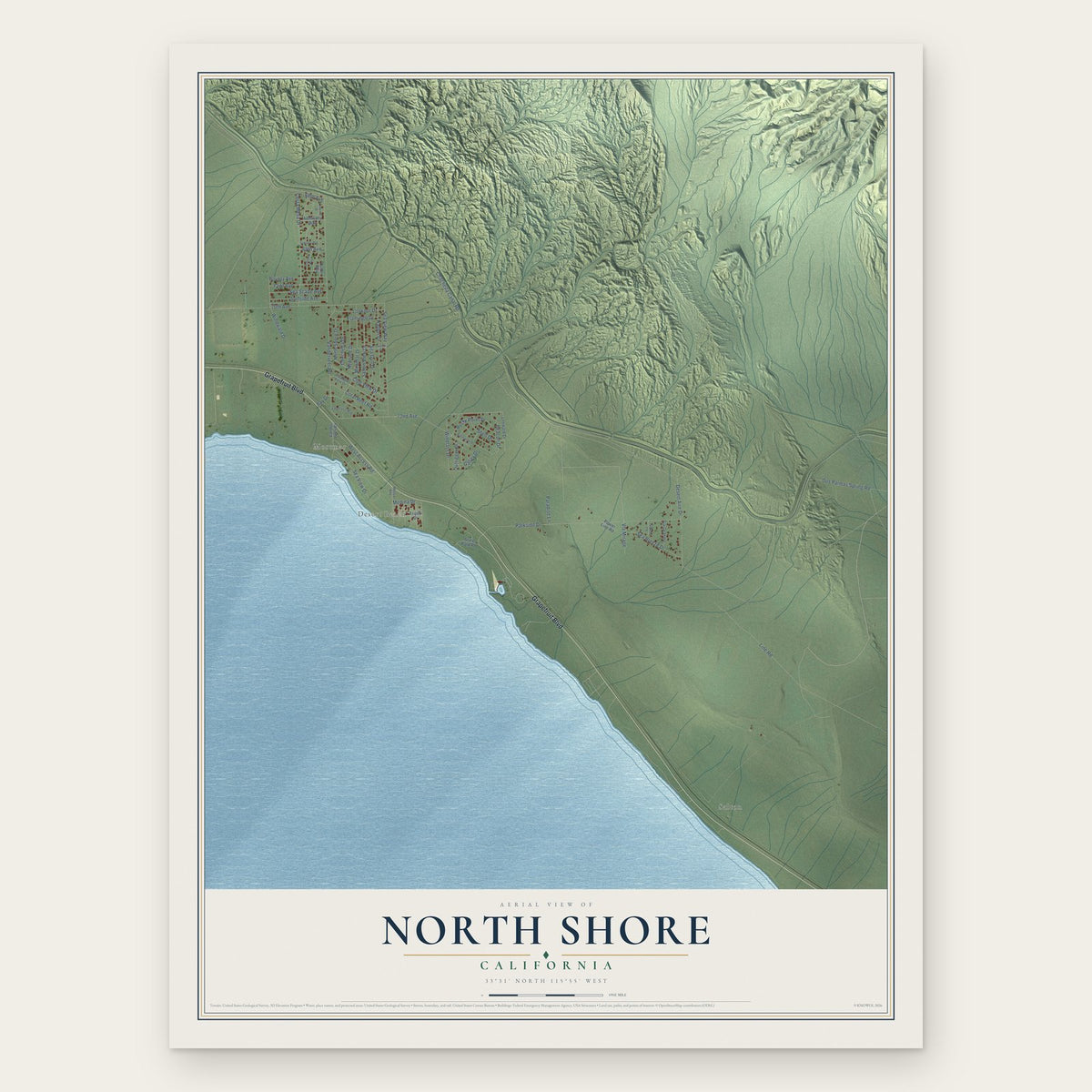
North Shore, California Map Art
Building by building, with labeled streets and shaded relief.
12" x 18" Archival Matte Print
A Map of Home. A Work of Art.
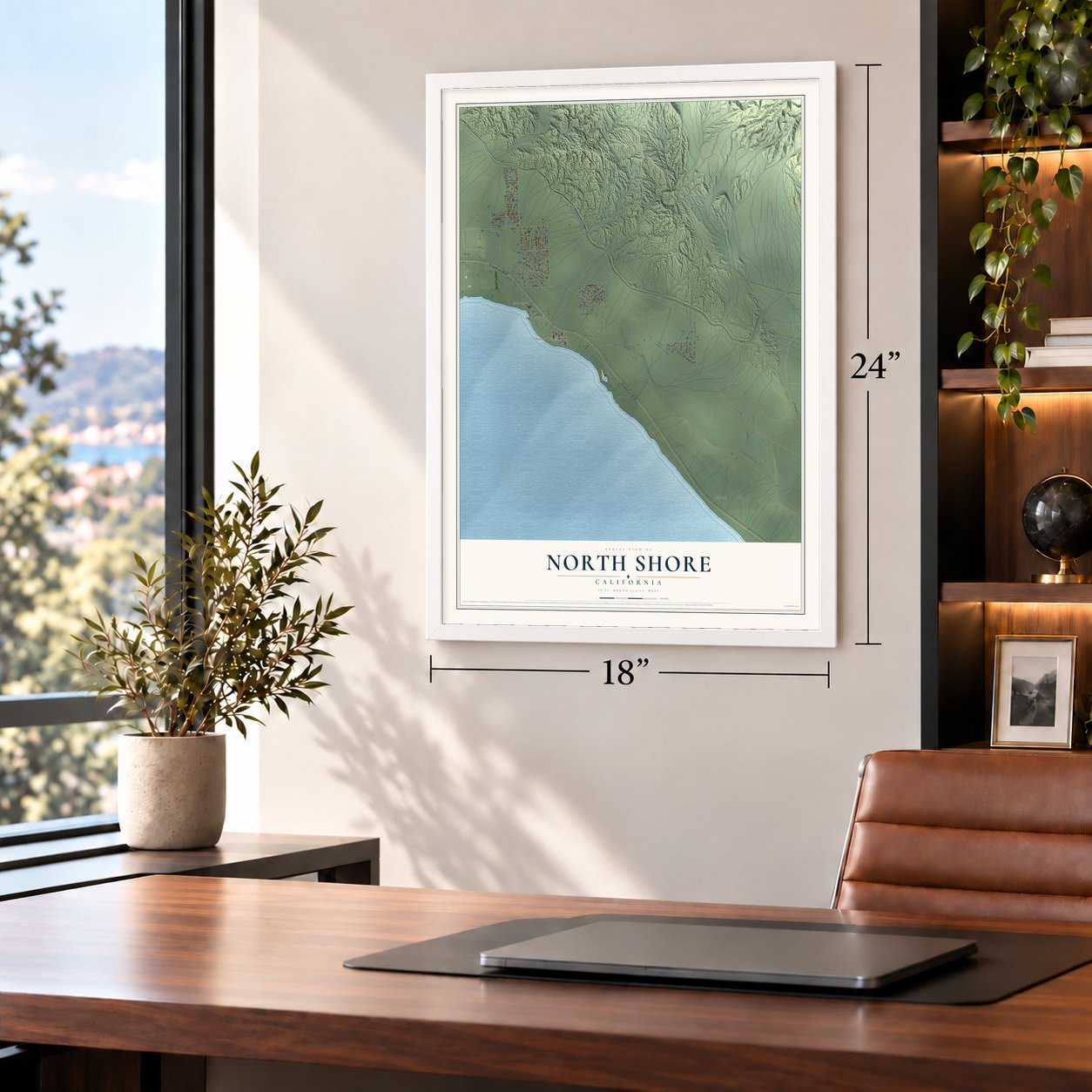
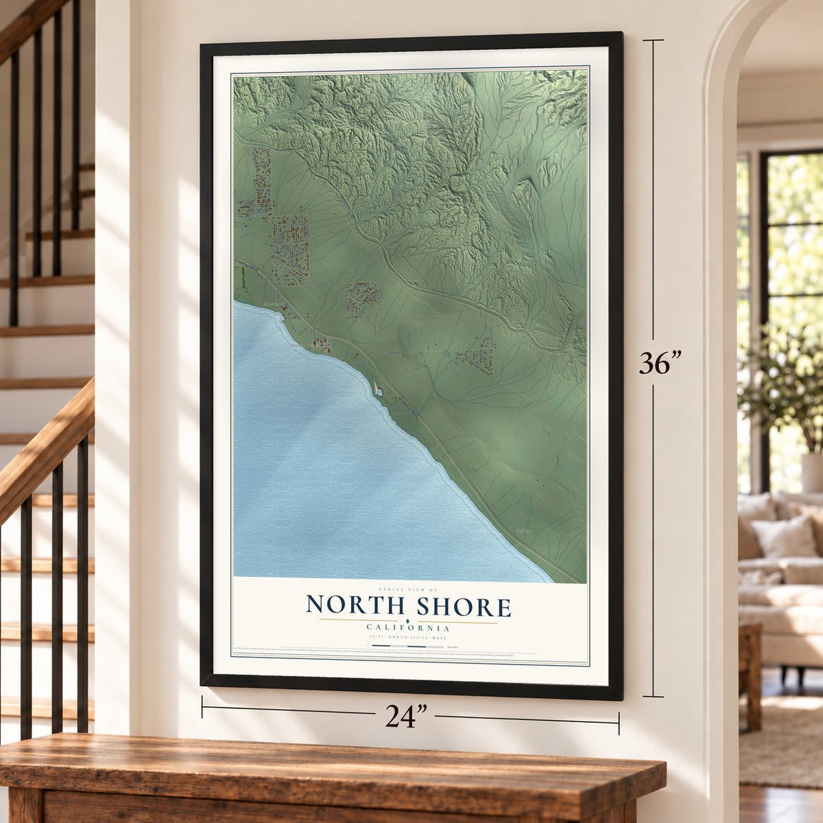
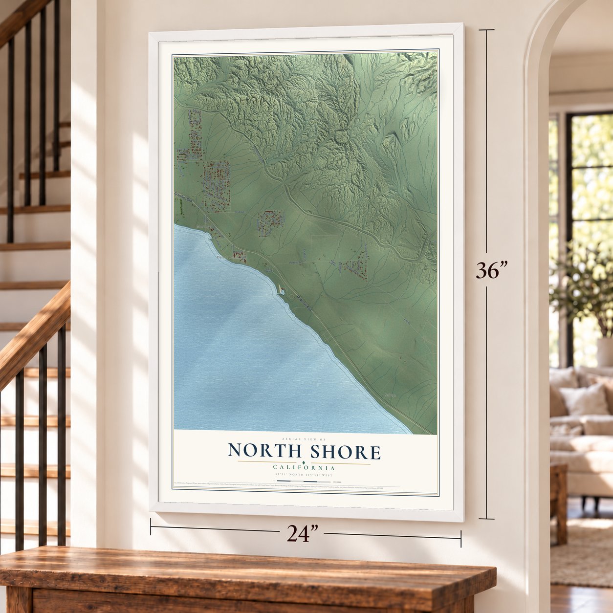
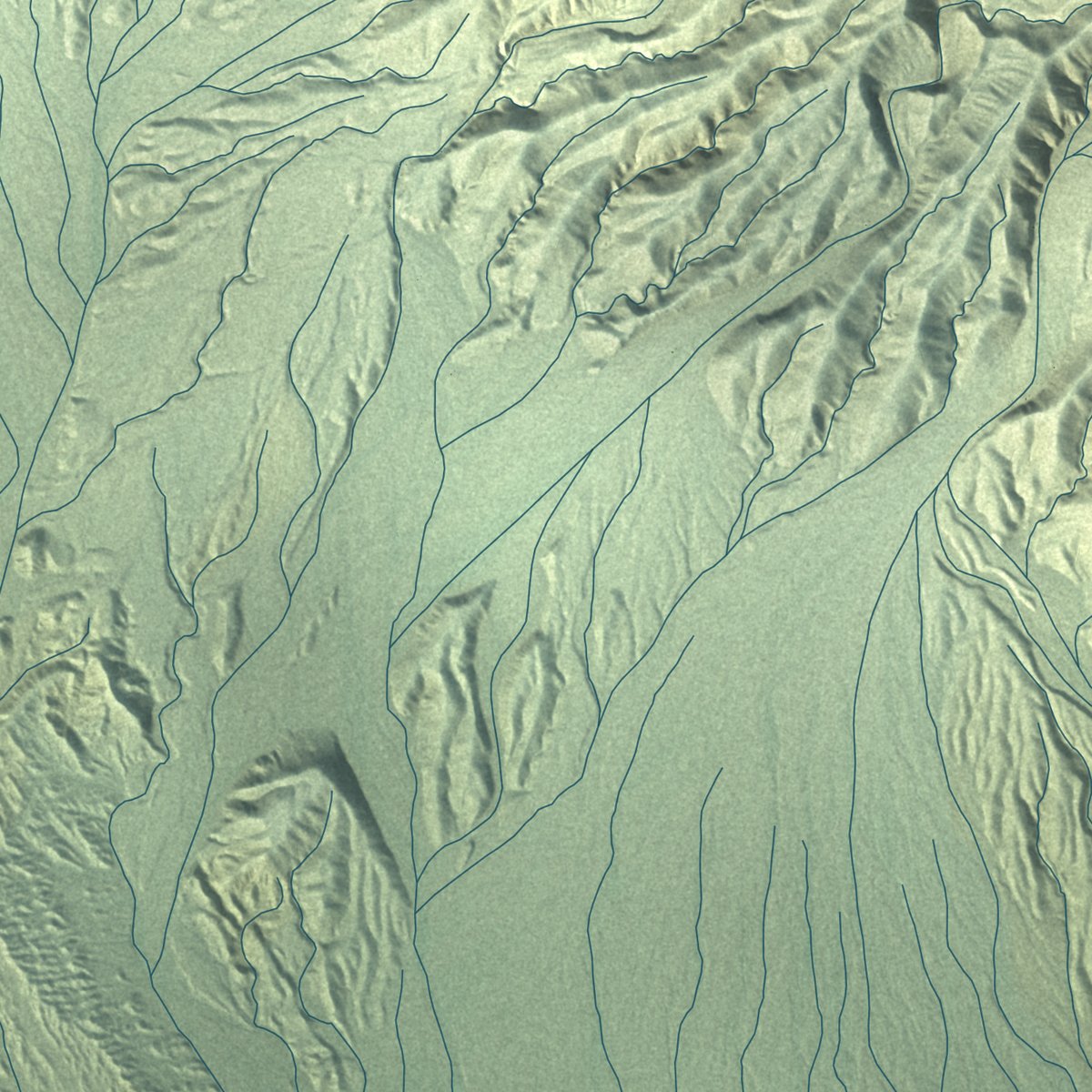
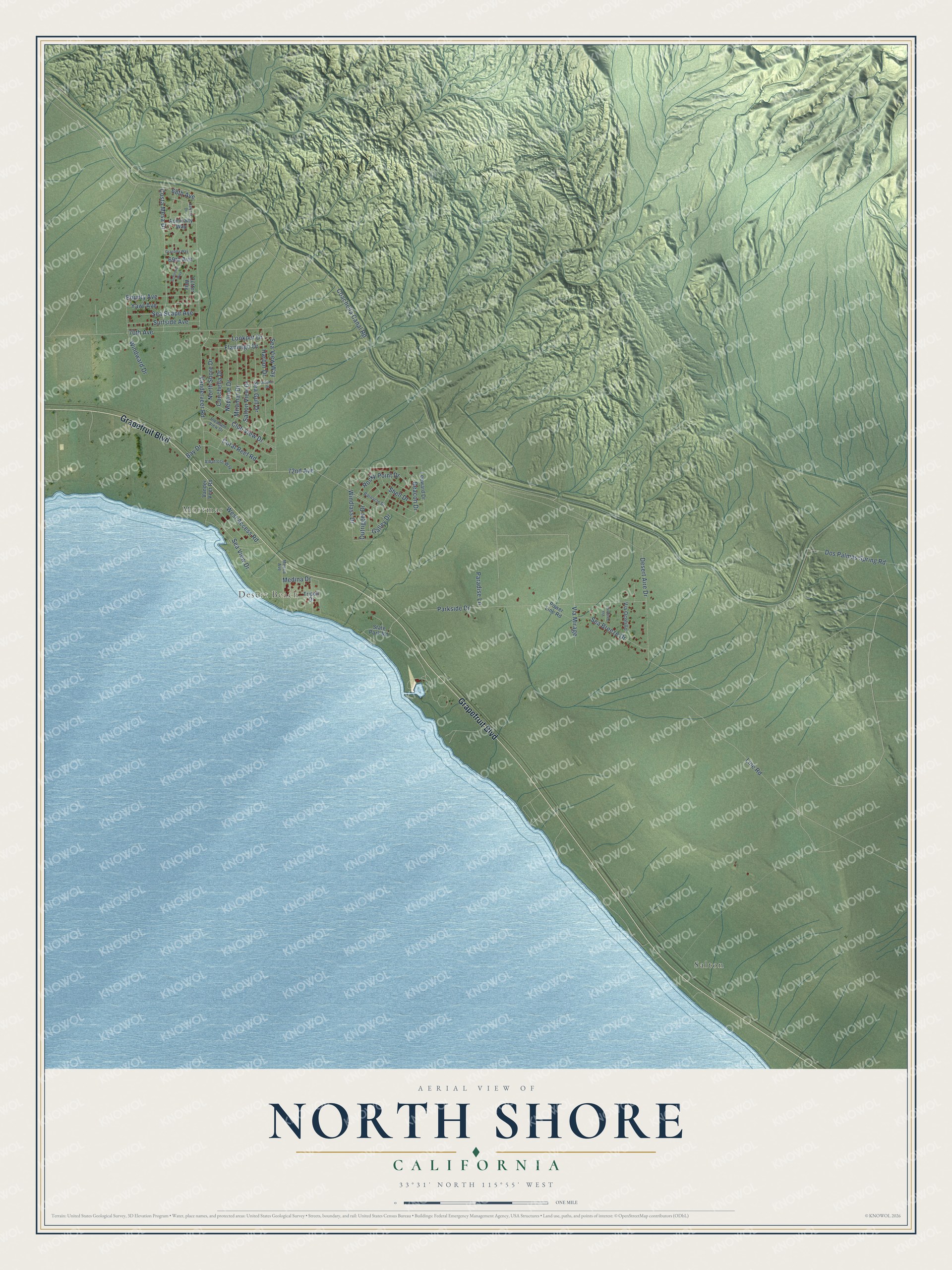
Explore North Shore, California from a whole new perspective. Created using aerial imagery and detailed geographic data, this map captures North Shore building by building, with labeled streets, familiar landmarks, and shaded topographical relief that highlights the natural contours of the landscape.
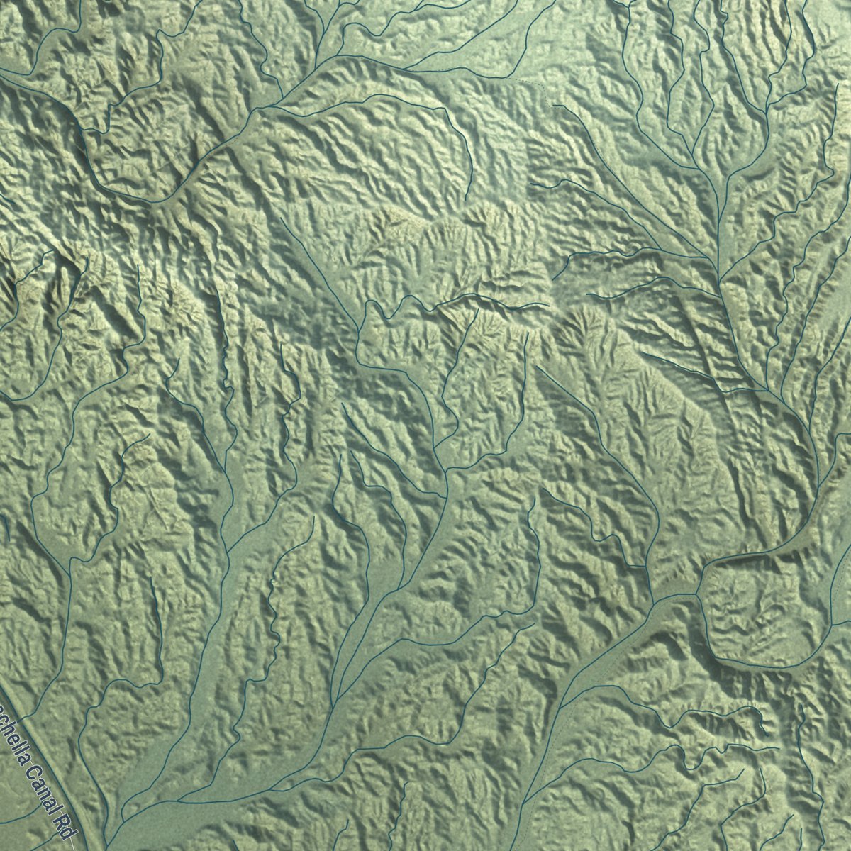
Combining modern data with the timeless character of a vintage atlas, this map is just as interesting up close as it is beautiful on the wall. Whether you grew up in North Shore, spent memorable years there, or call it home today, this unique map is a great way to celebrate a place that means something to you. Zoom in on the preview to look for your street, and then order a print to put your memories on the wall.
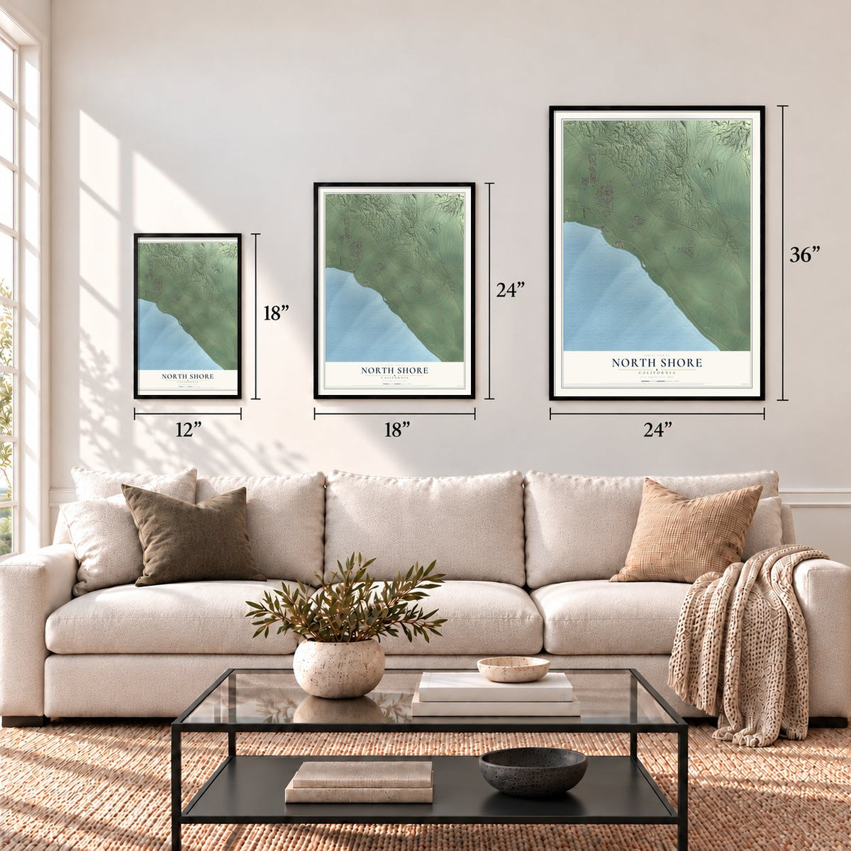
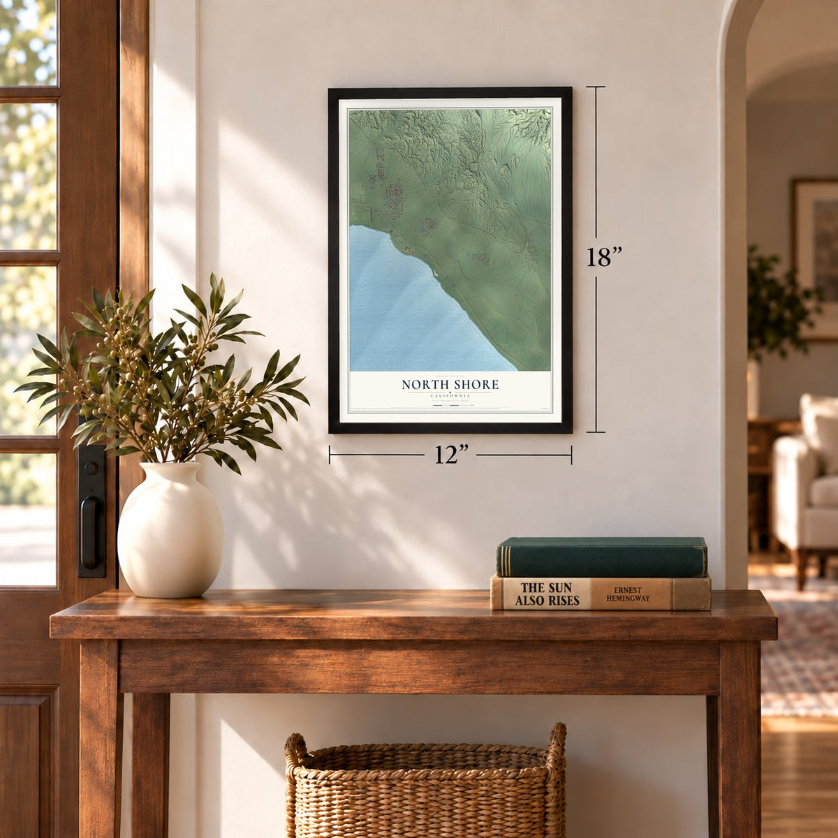
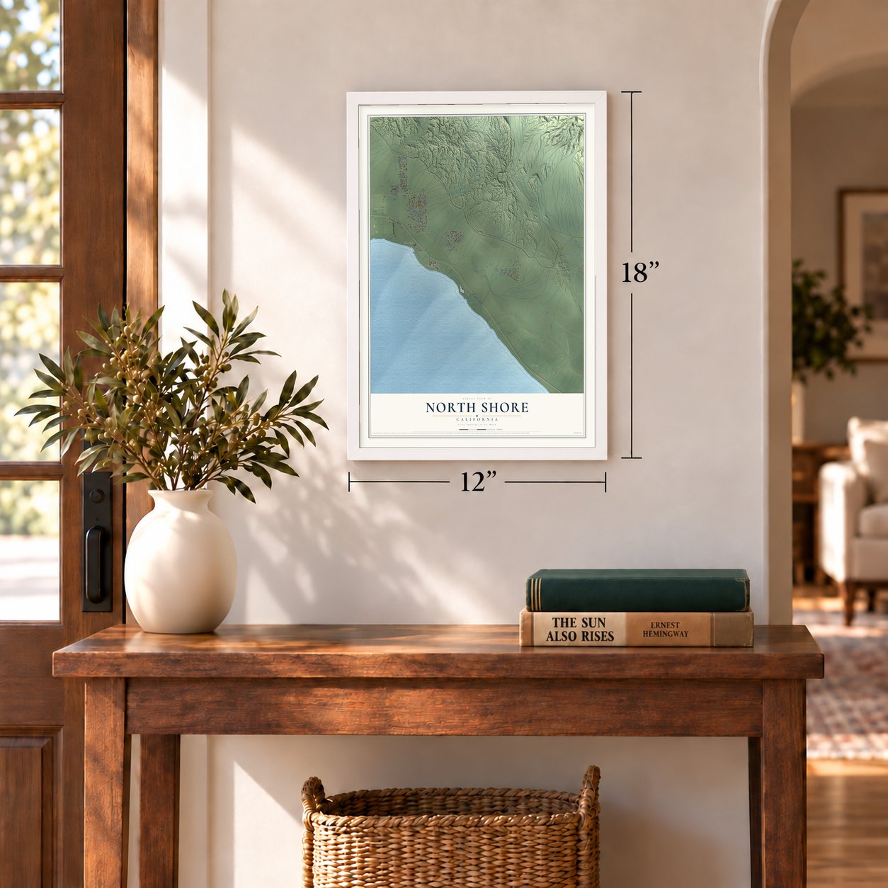
Three ways to hang it
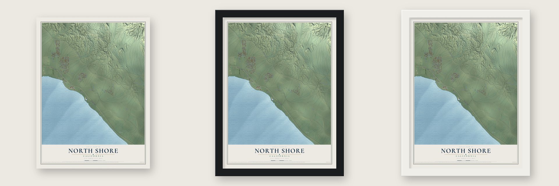
Unframed archival matte, a black wood frame or a white wood frame.
Up close
Geography Worth Displaying
This map was created using accurate cartographic data and authoritative geographic sources, including the U.S. Geological Survey and the Census Bureau. The map brings together terrain, waterways, roads, and building detail. The majority of the streets are labeled, houses are accurately depicted, and the topography is derived from government sources. Combining local data with carefully composed color and shading leads to this beautifully detailed North Shore artwork for your wall.
Rather than simply showing street outlines, we’ve included as many of the street names as we could reasonably fit on the map while keeping their names legible. Zoom in on the high resolution preview to see exactly what’s on the map. We truly set out to create a statement piece for anyone who loves North Shore. So whether it’s for you, or a gift for someone you love, we hope this map of North Shore brings back fond memories.
Read the story behind this map of North Shore, California from 2026.
Find your street
Names on the North Shore map
Every name below is printed on this map. Look for your street, your school, the park where you played, or the pond down the road.
Places and landmarks3
- Mortmar
- Desert Beach
- Salton
Streets and roads59
- Grapefruit Boulevard
- 72nd Avenue
- Club View Drive
- Dos Palmas Spring Road
- Coachella Canal Road
- Vanderveer Road
- Parkside Drive
- 70th Avenue
- Line Road
- Sea View Way
- Costa Mesa Drive
- Harbor Drive
- Miramar Drive
- Sea View Drive
- Desert Aire Drive
- Sea Breeze Drive
- Coral Reef Road
- Sea Gull Drive
- Windward Drive
- West Access Road
- Salton View Drive
- Bay Drive
- Bounty Avenue
- Yawl Avenue
- Sea Scape Avenue
- Surfside Avenue
- Windlass Drive
- Neptune Drive
- Lookout Drive
- Flamingo Drive
Show all 59 streets
- Beacon Drive
- Conchella Drive
- Shell Drive
- Rocky Point Drive
- Paradise Lane
- North Shore Drive
- Via Mirage
- 68th Avenue
- 69th Avenue
- Medina Drive
- Galley Drive
- Outrigger Drive
- Leeward Drive
- Via Ocotillo
- Vander Veer Road
- State Park Road
- Admiralty Way
- Tripoli Drive
- Power Line Road
- Cutter Way
- Pleasant View Drive
- Barnacle Drive
- Mecca Avenue
- Albatross Way
- Dolphin Drive
- Halyard Drive
- Schooner Way
- Granada Way
- Via Verbena
Names are listed as they appear on the printed map. Zoom into the product photos to find them.
About North Shore, California
North Shore is a community of 3,585 people in Riverside County, named for its place on the northeast shore of the Salton Sea. The sea itself formed between September 1905 and February 1907, when the Colorado River spilled into the Salton Sink and drowned several Southern Pacific stations. The railroad moved its line north and rebuilt Mortmere station under a new name, Mortmar, and that stop became the starting point for the town.
In 1926 Gus Eilers, working with promoter John Goldthwaite, bought land from the railroad near the station and planned a resort with Egyptian and Middle Eastern touches. He built the first small building and pier of Date Palm Beach in 1930, and in 1932 he brought two Olympic cottages from Los Angeles to serve as guest houses. The Eilers family sold the resort to C. Roy Hunter in 1946, and he renamed it Desert Beach. In 1958 developers Ray Ryan and Trav Rogers bought a tract about a half mile north and began selling lots in a new place they called North Shore.
- Albert Frey's ship on the seaConstruction started in 1960 on a yacht club and a motel for the new town, and both opened in 1962. The Palm Springs modernist Albert Frey designed them. He shaped the two-story club like a ship, with a curved prow, a tall mast, porthole windows looking out on the water and a crow's nest lounge. Its marina ranked among the largest in Southern California, and the Beach Boys, Jerry Lewis and Frank Sinatra all came to visit.
- More visitors than YosemiteRyan and Rogers sold the Salton Sea to the public as an inland sea for California, and magazines, newspapers and advertisements played up its fishing tournaments, boating events and celebrity guests. During the 1960s the sea drew over 1.5 million visitors a year, while Yosemite drew roughly 1 million.
- Closed in 1984, reopened in 2010Rising water destroyed the jetty in 1981, so boats could no longer dock at the yacht club, and the club closed in 1984. The empty building fell into disrepair in the 1990s. A $3.35 million grant paid for its restoration, and it reopened in 2010 as the Salton Sea History Museum. The museum moved to Mecca in February 2012, and the building has served the town as a community center since then.
- Patton's soldiers on leaveIn 1942 Major General George S. Patton Jr. opened the Desert Training Center to prepare American troops to fight in North Africa during World War II. Soldiers from Camp Young and Thermal Army Air Field came to Date Palm Beach to relax by the water.
- An ancient trail to SonoraThe Cahuilla-Halchidhoma Trail ran from the Cahuilla village at Martinez to the Dos Palmas Oasis, passing close to today's town. Cahuilla guides brought Captain José Romero's party to Dos Palmas on December 30, 1823, on the first recorded European trip into the Coachella Valley. In 1862 William D. Bradshaw followed the same path to link the La Paz gold mines with Los Angeles, and he renamed it the Bradshaw Trail.
Keep exploring California
North Shore is one of 1,990 California towns we've mapped. Every dot on the map is a print of its own.
The search covers every state, California first.
Near North Shore
Order 2 or more town maps and save 10%. Shown in the size and finish you picked above, so they hang as a set.
- Mecca 12" x 18" / Archival Matte Print $39.99
- Desert Shores 12" x 18" / Archival Matte Print $39.99
- Salton Sea Beach 12" x 18" / Archival Matte Print $39.99
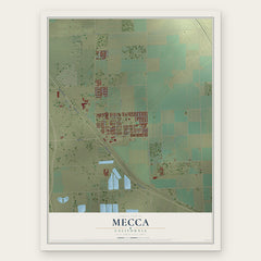
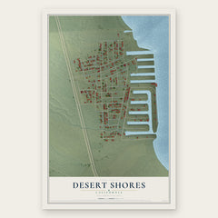
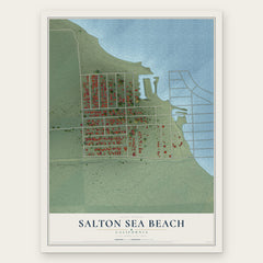
More maps nearby: Oasis, Thermal, Salton City, Bombay Beach and Coachella.
The art of mapping a place
How This Map Was Made
Real places. Remarkable detail. Discover the layers that turn geographic data into a map of home.

The view from above
Aerial imagery reveals the character of the land: woodland, open fields, and the patterns of a place.

The shape of the land
Elevation data brings hills, valleys, and subtle changes in the landscape into view.

The details of home
Roads, waterways, and building footprints come together to make the map feel unmistakably local.

Geography becomes art
Considered color, shading, and typography bring the layers together in a map made for your wall.


Process illustrated with Mendon, Massachusetts. Aerial imagery: USDA NAIP. Terrain: USGS 3D Elevation Program. Map details and finished artwork: KNOWOL.
The Details
About This Print
Choose an archival matte print, or a black or white Ayous wood frame. The archival matte print is unframed.
Select your size and finish above to see the matching product image and price.
Materials & Craftsmanship
A contemporary map with the character of a classic atlas, printed on archival matte paper. Optional frames are made from Ayous wood.
Your printed map does not include the watermark shown in the full-map preview.
Shipping & Delivery
Free shipping within the United States. Every print is made to order in the USA.
Buying a gift? Add a note in your cart and we'll include it. We never put prices in the package.
Prints ship within 2 to 3 business days. Allow 7 to 10 days total from ordering for delivery. Timing may vary during holidays or periods of high order volume.
Read our shipping policy.
Returns and damaged prints
Each print is made to order. Change-of-mind refunds are not available after production.
If your print arrives damaged, misprinted or incorrect, contact support@knowol.com within 30 days of receiving it. Include your order number, photos and a description of the issue.
Read our full refund and replacement policy. For questions about your order, email support@knowol.com.