
Search for another town




Free U.S. delivery 7 to 10 days after you order
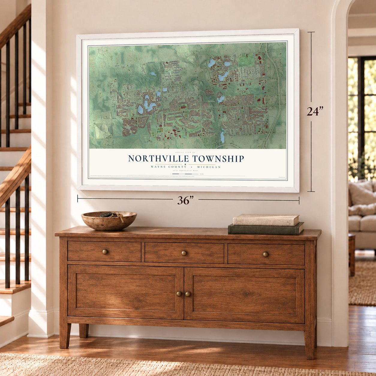
Northville Township, Michigan Map Art
Building by building, with labeled streets and shaded relief.
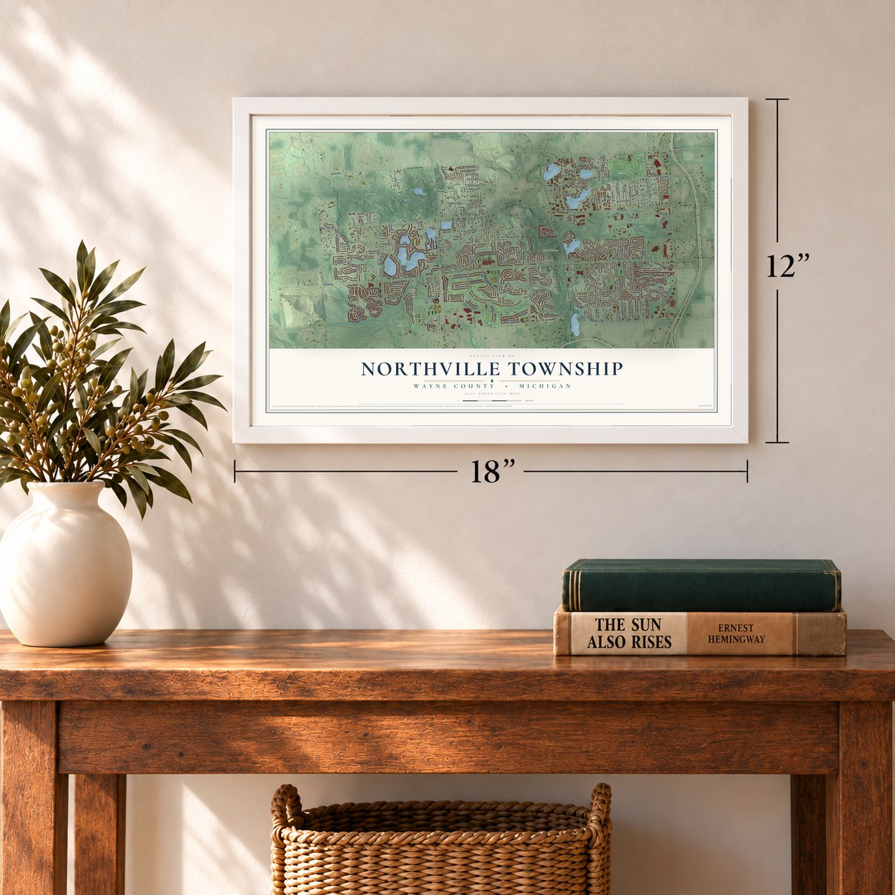
12" x 18" Archival Matte Print
A Map of Home. A Work of Art.
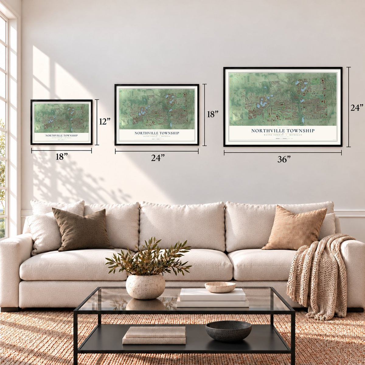
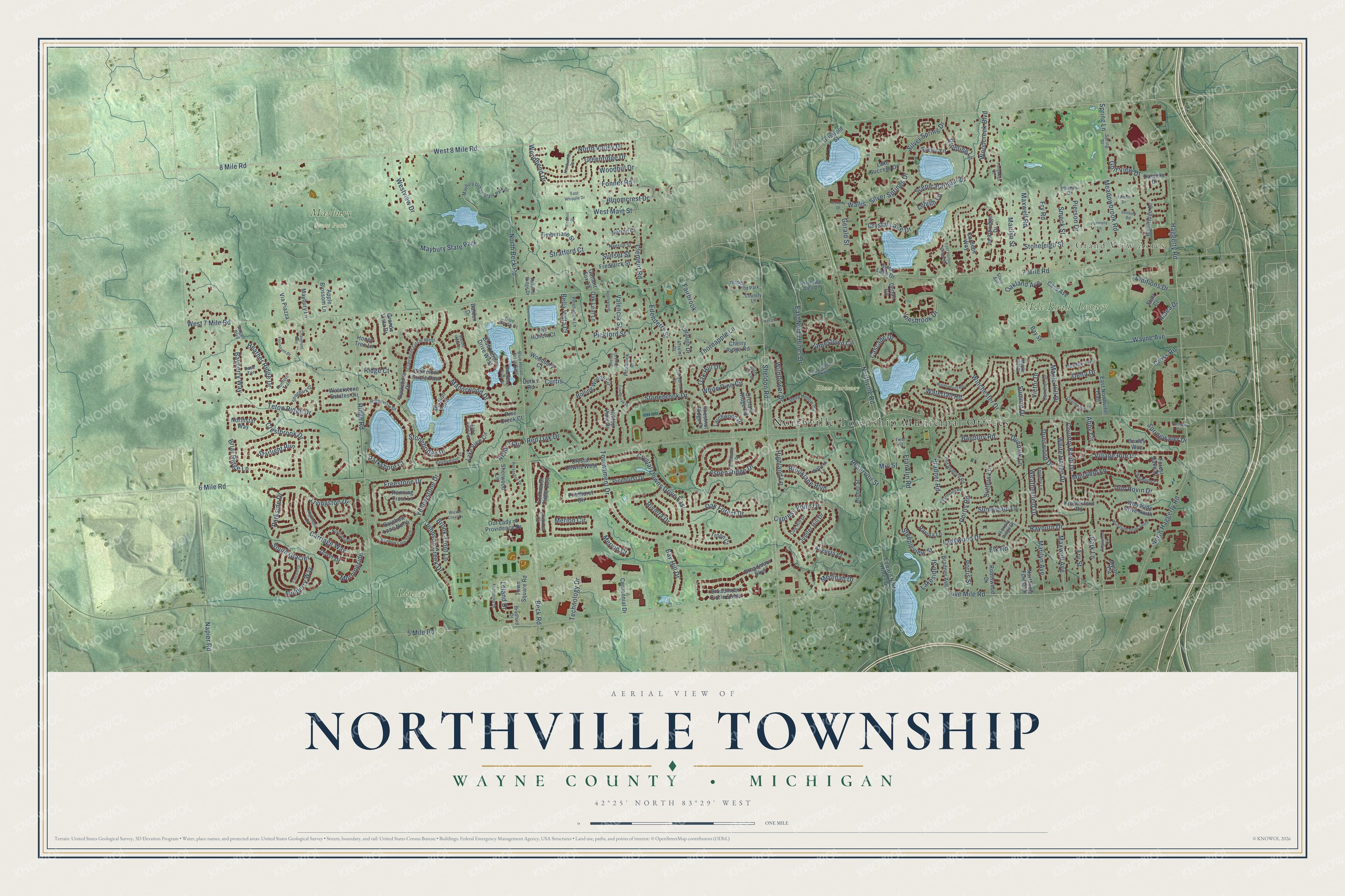
Explore Northville Township, Michigan from a whole new perspective. Created using aerial imagery and detailed geographic data, this map captures Northville Township building by building, with labeled streets, familiar landmarks, and shaded topographical relief that highlights the natural contours of the landscape.
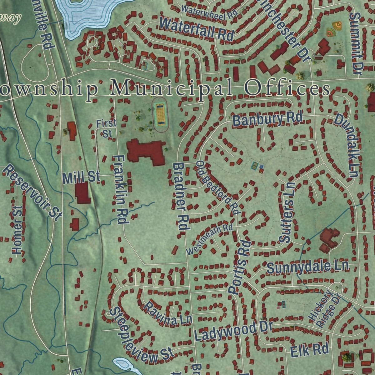
Combining modern data with the timeless character of a vintage atlas, this map is just as interesting up close as it is beautiful on the wall. Whether you grew up in Northville Township, spent memorable years there, or call it home today, this unique map is a great way to celebrate a place that means something to you. Zoom in on the preview to look for your street, and then order a print to put your memories on the wall.
Three ways to hang it
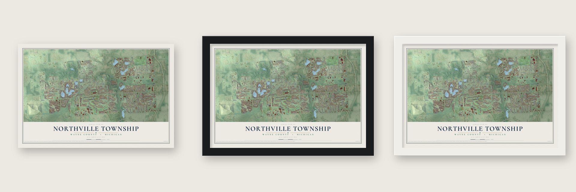
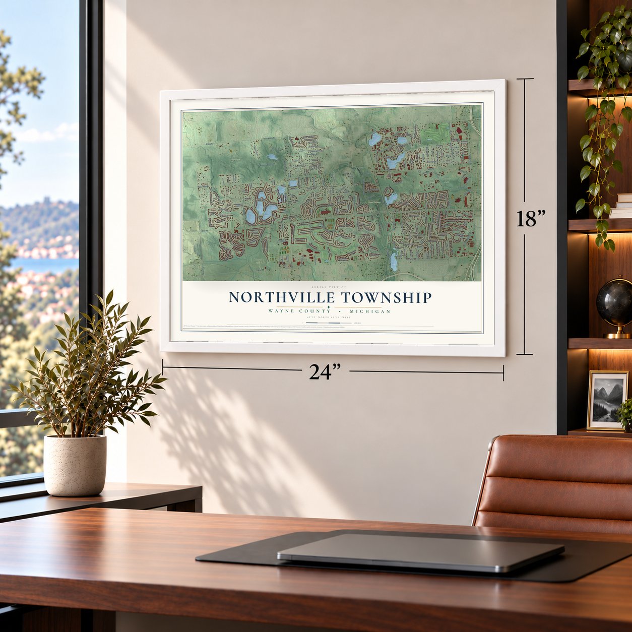
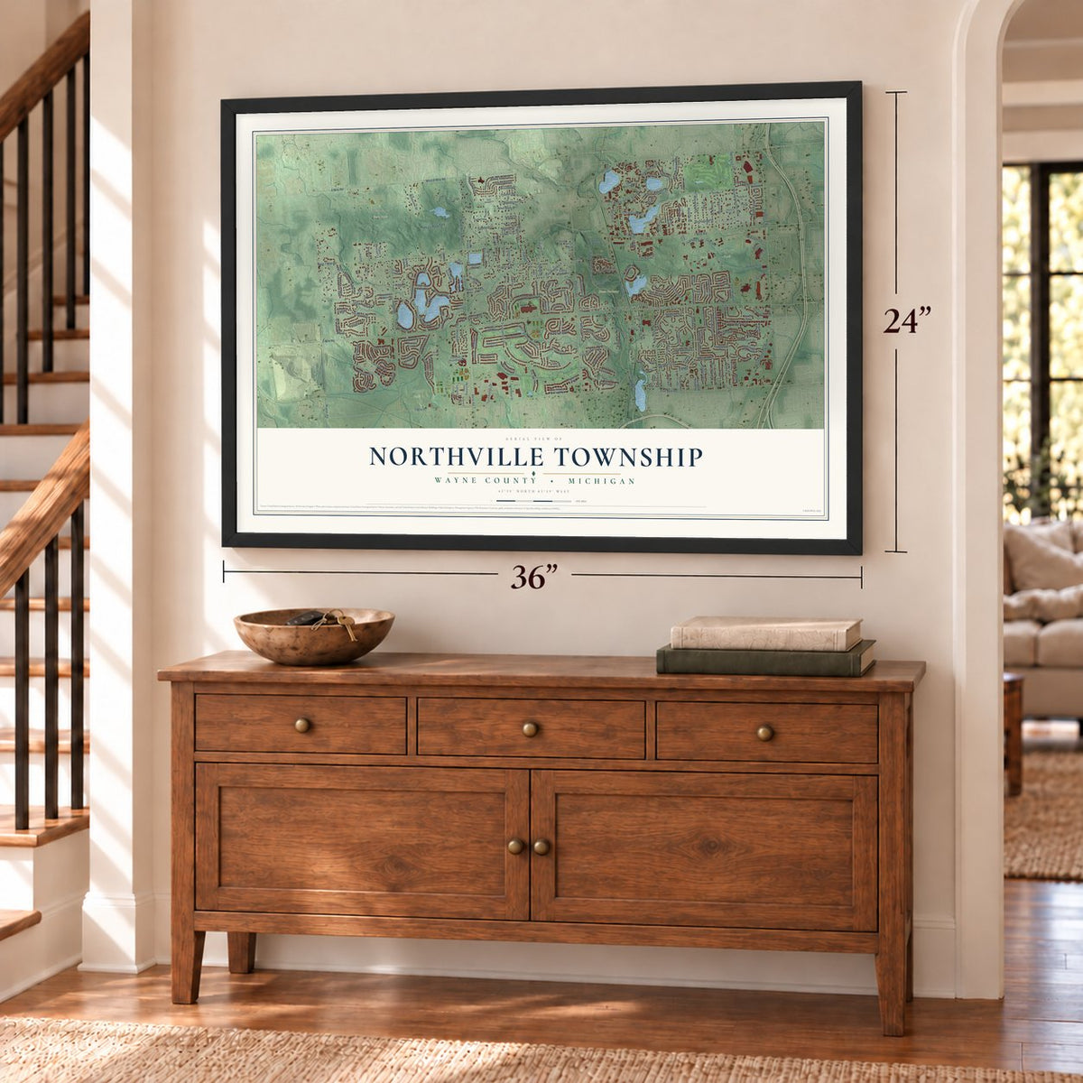
Unframed archival matte, a black wood frame or a white wood frame.
Up close
Geography Worth Displaying
This map was created using accurate cartographic data and authoritative geographic sources, including the U.S. Geological Survey and the Census Bureau. The map brings together terrain, waterways, roads, and building detail. The majority of the streets are labeled, houses are accurately depicted, and the topography is derived from government sources. Combining local data with carefully composed color and shading leads to this beautifully detailed Northville artwork for your wall.
Rather than simply showing street outlines, we’ve included as many of the street names as we could reasonably fit on the map while keeping their names legible. Zoom in on the high resolution preview to see exactly what’s on the map. We truly set out to create a statement piece for anyone who loves Northville. So whether it’s for you, or a gift for someone you love, we hope this map of Northville brings back fond memories.
Read the story behind this map of Northville Township, Michigan from 2026.

Find your street
Names on the Northville map
Every name below is printed on this map. Look for your street, your school, the park where you played, or the pond down the road.
Places and landmarks8
- Northville Township Municipal Offices
- Grand View Acres
- 7 Mile Road Park
- Hines Parkway
- Legacy Park
- Linear Park
- Maybury State Park
- Woodland Park
Streets and roads271
- Beck Road
- West 8 Mile Road
- Sheldon Road
- Sunnydale Lane
- 8 Mile Road
- West 7 Mile Road
- Rayburn Drive
- Yellowstone Drive
- Arbor Trail
- Silver Spring Drive
- Portis Road
- Banbury Road
- 6 Mile Road
- 5 Mile Road
- 7 Mile Road
- North Haggerty Road
- Napier Road
- North Beck Road
- East North Hines Drive
- Haggerty Road
- Ridge Road
- Northville Road
- Winchester Drive
- Tournament Drive
- Silver Springs Drive
- White Pine Circle
- Bradner Road
- Wayne Avenue
- Five Mile Road
- Briar Ridge Lane
Show all 271 streets
- Stonebrook Drive
- Cascade Drive
- Crystal Downs Drive East
- Scenic Harbour Drive
- Waterfall Road
- Brooklane Boulevard
- West Main Street
- Innsbrook Drive
- Merion Circle
- Dun Rovin Drive
- Village Run Drive
- Clement Road
- Aspen Ridge Drive
- Cypress Point Drive
- Carriage Way
- Johnson Creek Drive
- Greenridge Drive
- Crestbrook Drive
- Pickford Street
- Franklin Road
- Freestone Drive
- Woodbend Drive
- Jamestown Circle
- Steepleview Street
- Crystal Lake Drive
- White Haven Drive
- Stoneleigh Street
- Technology Drive
- Maple Hill Drive
- Manorwood Drive
- Pierson Drive
- Livingston Drive
- Mulberry Way
- Red Oak Drive
- Meadowbrook Road
- Cross Road
- Park Lane
- Oak Forest Drive
- Parkside Drive
- Marilyn Street
- Fry Road
- Edenderry Street
- Woodhill Drive
- North Valley Drive
- Abby Circle
- Maxwell Road
- Smock Street
- Oakland Avenue
- South Glacier
- Muirfield Lane
- Thornapple Lane
- Bayberry Way
- Rippling Lane
- Gerald Street
- Sutters Lane
- Country Knoll Drive
- Bay Hill Drive
- Ladywood Drive
- Weatherfield Drive
- Marilyn Avenue
- Maxwell Avenue
- Fry Street
- Westview Drive
- Heather Ridge Drive
- Traditions Drive
- Highland Lane
- Stonebridge Drive
- Wildflower Drive
- Dunswood Drive
- Victor Drive
- Teton Ridge Drive
- Morningside
- Aldea Drive
- Bloomcrest Drive
- Woodcreek Boulevard
- Reservoir Street
- Brook Trout Lane
- Starlight Run
- Springwater Drive
- Curtis
- Dundalk Lane
- Riviera Drive
- Medinah Drive
- Stratford Court
- Spring Lane
- Summit Drive
- Valencia Street
- Delta Drive
- Oak Hill Drive
- Portis Street
- Bella Vista Court
- Parkshore Court
- Golf View Drive
- Lehigh Lane
- Fonner Road
- Lakeside Street
- Leland Drive
- Sunset Street
- Merion Court
- Ridge Court
- Fairbrook
- Mill Street
- Elk Road
- Wallis
- Sherwood Lane
- Griswold Street
- Parkshore Drive
- Mystic Circle
- Lochmoor Circle East
- Clairmont Circle East
- Rainbow Lane North
- Edward North Hines Drive
- Rolling Woods Circle
- Pinehurst Circle
- Windridge Drive
- Waterstone Estates Circle
- Robinwood Drive
- Blue Heron Drive West
- Cardene Way
- Northridge Drive
- Lake View Circle
- Broadmoor Circle South
- Our Lady of Providence Drive
- Running Trout Lane
- Hilltop View Drive
- Knightsford Road
- Woodside Drive North
- East Northville Trail
- Honey Tree Lane
- Laraugh Drive
- Swan Lake Drive
- Curtis Road
- Crystal Downs West
- Pinehurst Drive
- Fox Hollow Court
- Denali Circle
- Jupiter Hill Drive
- Timberlane Street
- Dover Drive
- Scenic Lane
- Northville Forest Drive
- Orchard Ridge Road
- Town Square Road
- Frederick Street
- Larchwood Drive
- Centennial Drive
- Northstar Way
- Bradner Avenue
- Cherry Ridge Road
- Lake Success Drive
- Forest Lake Drive
- Homer Street
- Broadmoor Boulevard
- Grande Vista Drive
- Apple Blossom Lane
- Chestnut Ridge Drive
- Staff Court
- Ravina Lane
- Mission Point
- Augusta Court
- Pine Creek Court
- Oak Leaf Lane
- Maybury Lane
- Danielle Drive
- Woodbury Court
- Bexley Way
- Via Piazza
- Cass Avenue
- Norton Court
- Gallant Fox Lane
- Bay Street
- Troon Court
- Balden Drive
- Old Bedford Road
- Clairmont Circle West
- Maybury Urban State Park Drive
- Deep Hollow Circle
- Cass Benton Parkway
- Northville Area Drive
- Cameron Drive
- Shagbark Drive
- Phillips Drive
- Pinebrook Drive
- Ridgeview Drive
- Appleby Lane
- Blue Heron Drive East
- Cog Hill Drive
- Pinehollow Lane
- Hunters Trail
- Meadow Trail
- Champion Court
- Maple Hill Court
- Neeson Street
- Rose Terrace
- Wabeek Lane
- Arselot Drive
- Angell Boulevard
- Lake View Lane
- Bradford Drive
- Lyonhurst Circle
- State Avenue
- Blue Heron Court
- Hickory Ridge Drive
- Autumn Ridge Drive
- Spring Street
- Country Lane
- First Street
- Chaumont Way
- Florissant Drive
- Rainbow Lane South
- Coachwood Circle
- Northvalley Drive
- Fieldstone Drive
- Horseshoe Drive
- Woodside Drive South
- North Glacier
- Edgewood Circle
- Birchwood Drive
- Waterwheel Road
- Sunbury Road
- Algonquin Drive
- Wicker Creel Drive
- Cranbrook Drive
- Binghampton Drive
- East Harbour Village Drive
- Blue Heron Point Drive
- East Whipple Drive
- Westmeath Road
- Stonebrook Court
- Lincoln Drive
- Common Road
- Harmony Lane
- Marble Head Drive
- White Pine Court
- Westhill Street
- Applewood
- Doheny Drive
- Longridge Court
- Harbert Drive
- Shelley Pond Court
- Verona Lane
Names are listed as they appear on the printed map. Zoom into the product photos to find them.
About Northville Township, Michigan
From the Wayne County: "While the village of Northville developed within the borders of Plymouth Township from the 1820s, Northville Township itself did not exist until 1898. At that time, local residents, allegedly feeling slighted by Plymouth Township officials being more focused on Plymouth Village, decided to split off into a separate township."
Keep exploring Michigan
Northville Township is one of 2,031 Michigan towns we've mapped. Every dot on the map is a print of its own.
The search covers every state, Michigan first.
Near Northville Township
Order 2 or more town maps and save 10%. Shown in the size and finish you picked above, so they hang as a set.
- City of Northville 12" x 18" / Archival Matte Print $39.99
- Novi Township 12" x 18" / Archival Matte Print $39.99
- Plymouth Township 12" x 18" / Archival Matte Print $39.99

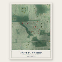

More maps nearby: City of Plymouth, City of Novi, Livonia, Salem and Farmington.
The art of mapping a place
How This Map Was Made
Real places. Remarkable detail. Discover the layers that turn geographic data into a map of home.

The view from above
Aerial imagery reveals the character of the land: woodland, open fields, and the patterns of a place.

The shape of the land
Elevation data brings hills, valleys, and subtle changes in the landscape into view.

The details of home
Roads, waterways, and building footprints come together to make the map feel unmistakably local.

Geography becomes art
Considered color, shading, and typography bring the layers together in a map made for your wall.


Process illustrated with Mendon, Massachusetts. Aerial imagery: USDA NAIP. Terrain: USGS 3D Elevation Program. Map details and finished artwork: KNOWOL.
The Details
About This Print
Choose an archival matte print, or a black or white Ayous wood frame. The archival matte print is unframed.
Select your size and finish above to see the matching product image and price.
Materials & Craftsmanship
A contemporary map with the character of a classic atlas, printed on archival matte paper. Optional frames are made from Ayous wood.
Your printed map does not include the watermark shown in the full-map preview.
Shipping & Delivery
Free shipping within the United States. Every print is made to order in the USA.
Buying a gift? Add a note in your cart and we'll include it. We never put prices in the package.
Prints ship within 2 to 3 business days. Allow 7 to 10 days total from ordering for delivery. Timing may vary during holidays or periods of high order volume.
Read our shipping policy.
Returns and damaged prints
Each print is made to order. Change-of-mind refunds are not available after production.
If your print arrives damaged, misprinted or incorrect, contact support@knowol.com within 30 days of receiving it. Include your order number, photos and a description of the issue.
Read our full refund and replacement policy. For questions about your order, email support@knowol.com.