
Search for another town



Free U.S. delivery 7 to 10 days after you order
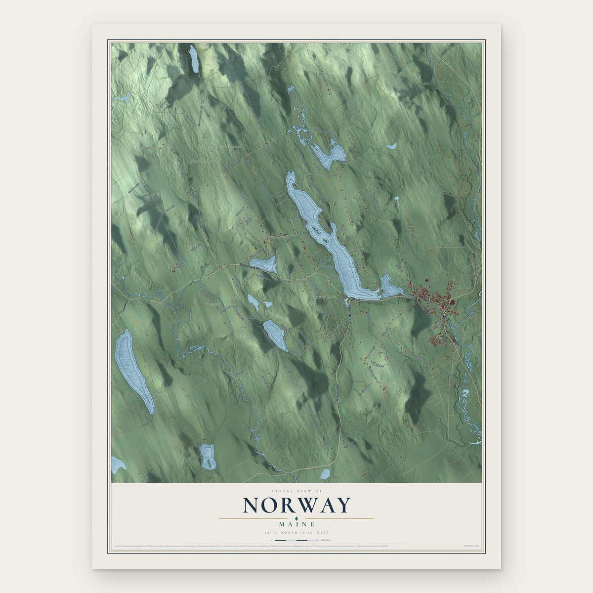
Norway, Maine Map Art
Building by building, with labeled streets and shaded relief.
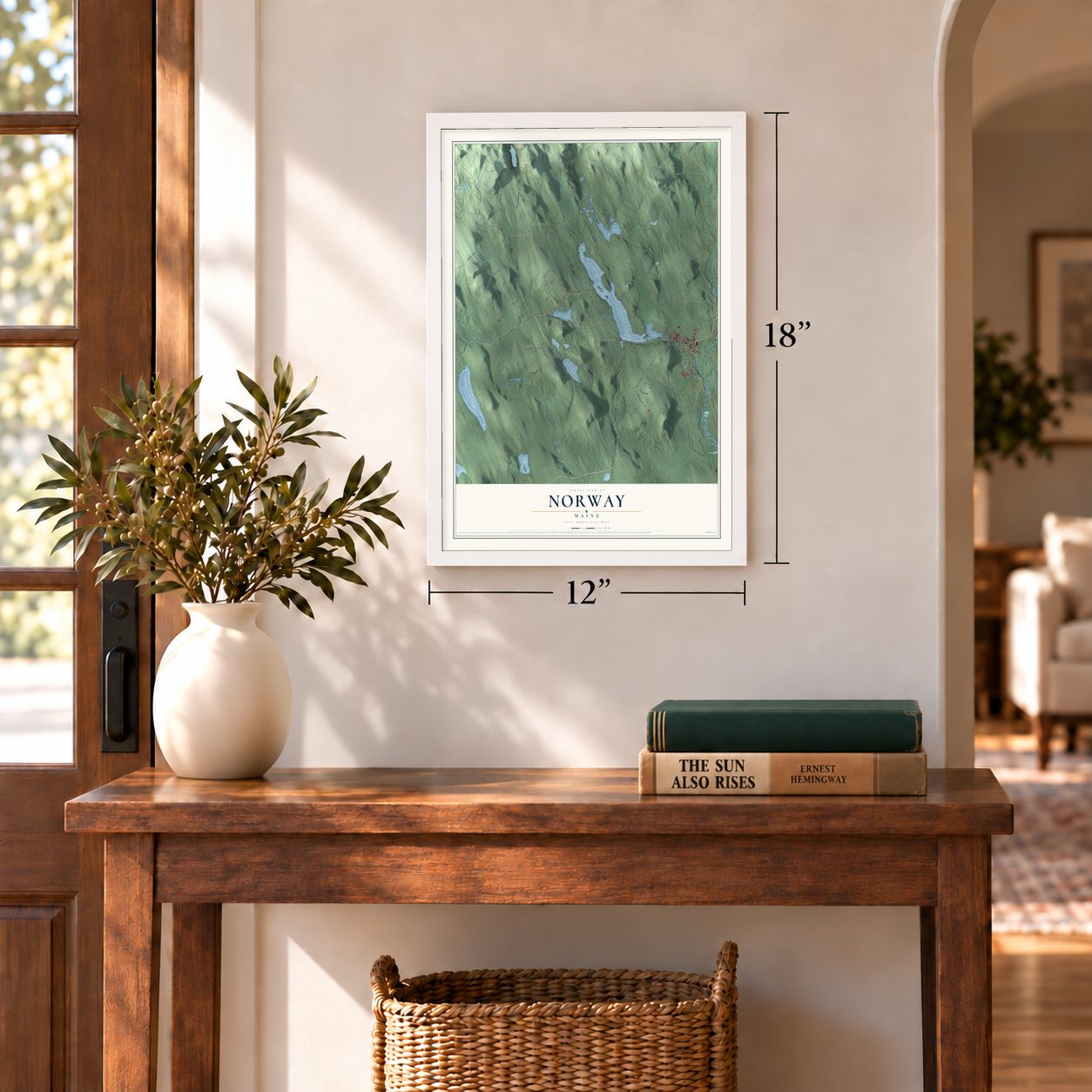
12" x 18" Archival Matte Print
A Map of Home. A Work of Art.
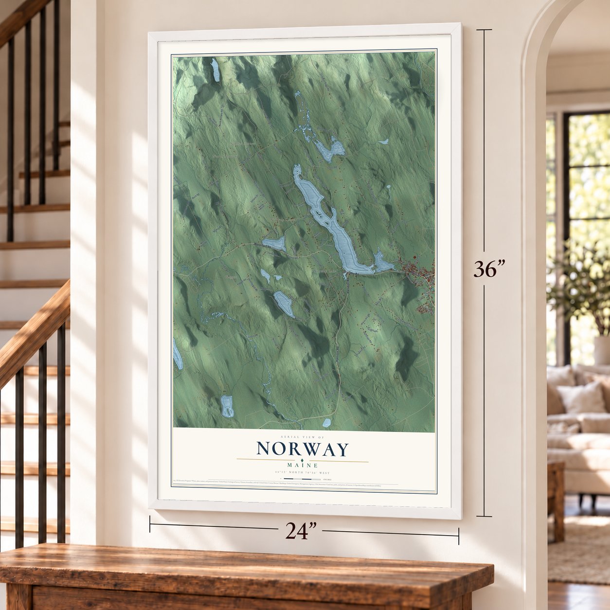
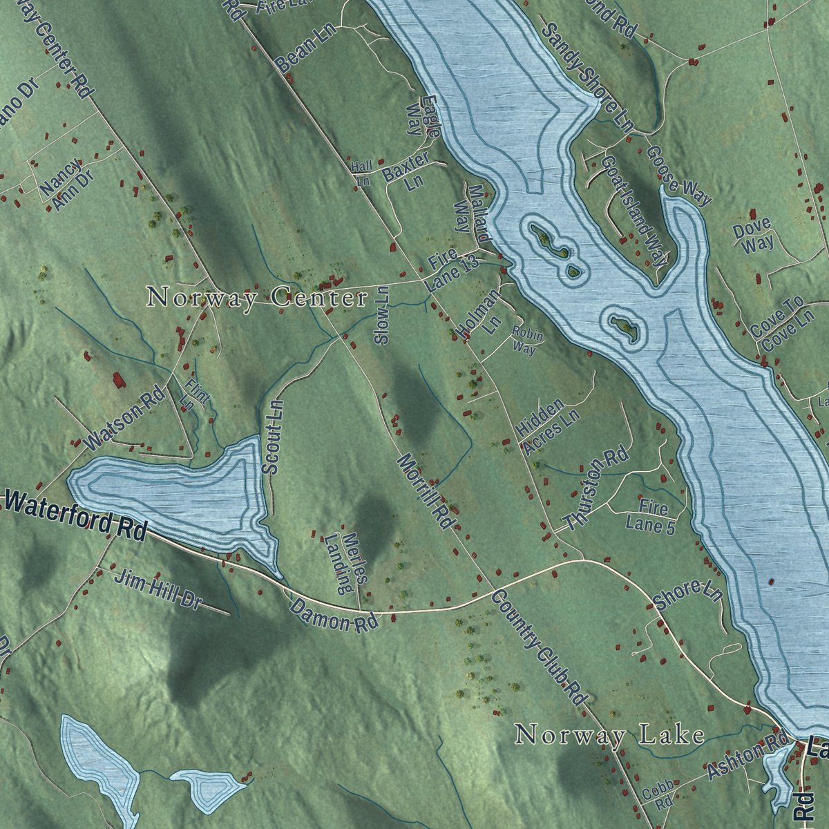
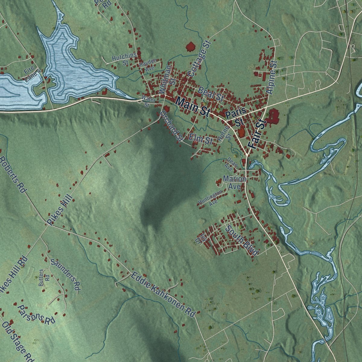
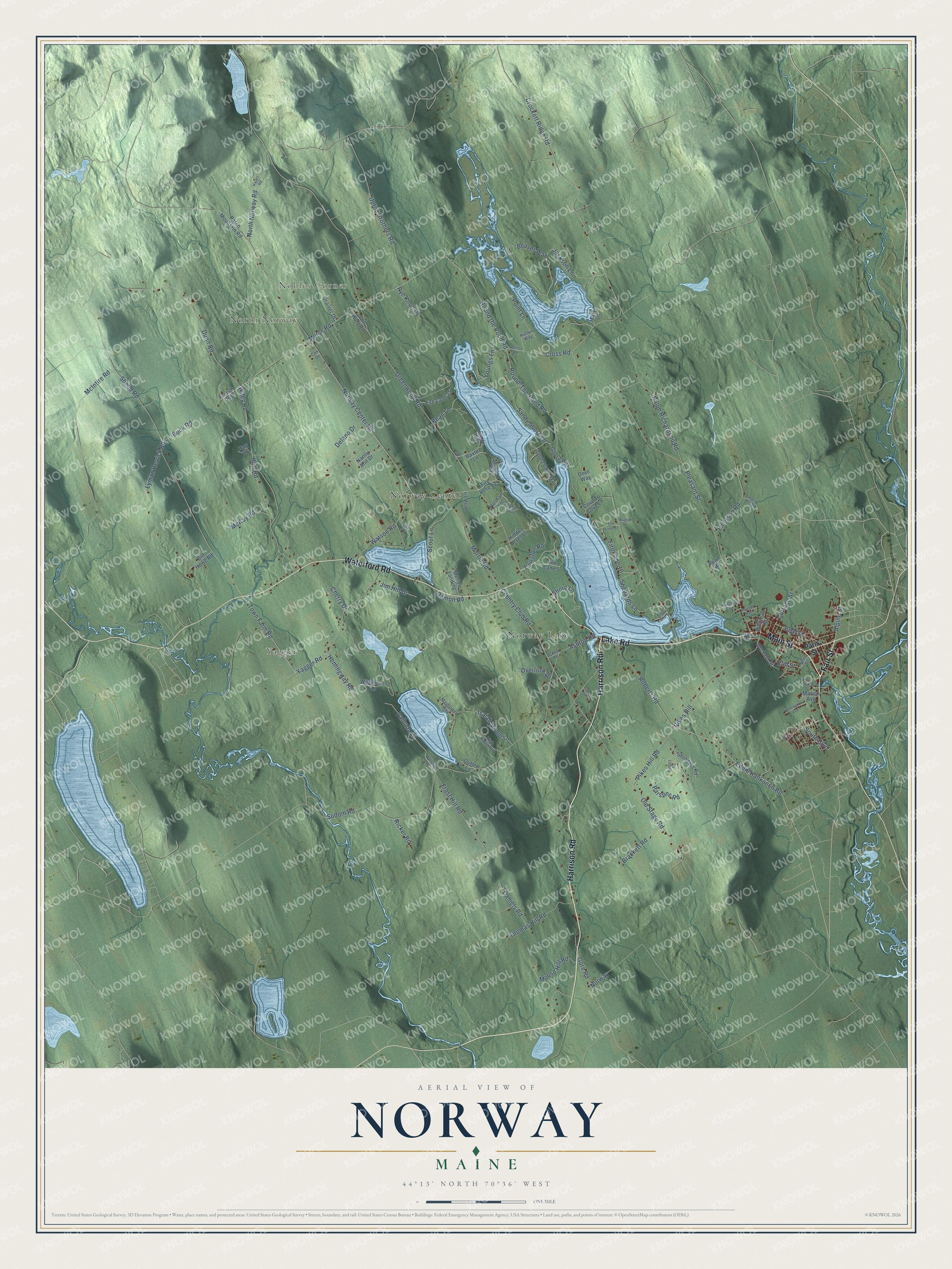
Explore Norway, Maine from a whole new perspective. Created using aerial imagery and detailed geographic data, this map captures Norway building by building, with labeled streets, familiar landmarks, and shaded topographical relief that highlights the natural contours of the landscape.
Combining modern data with the timeless character of a vintage atlas, this map is just as interesting up close as it is beautiful on the wall. Whether you grew up in Norway, spent memorable years there, or call it home today, this unique map is a great way to celebrate a place that means something to you. Zoom in on the preview to look for your street, and then order a print to put your memories on the wall.
Three ways to hang it
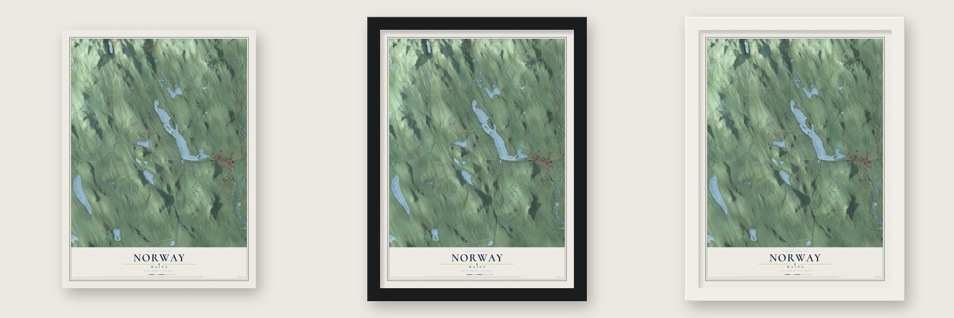
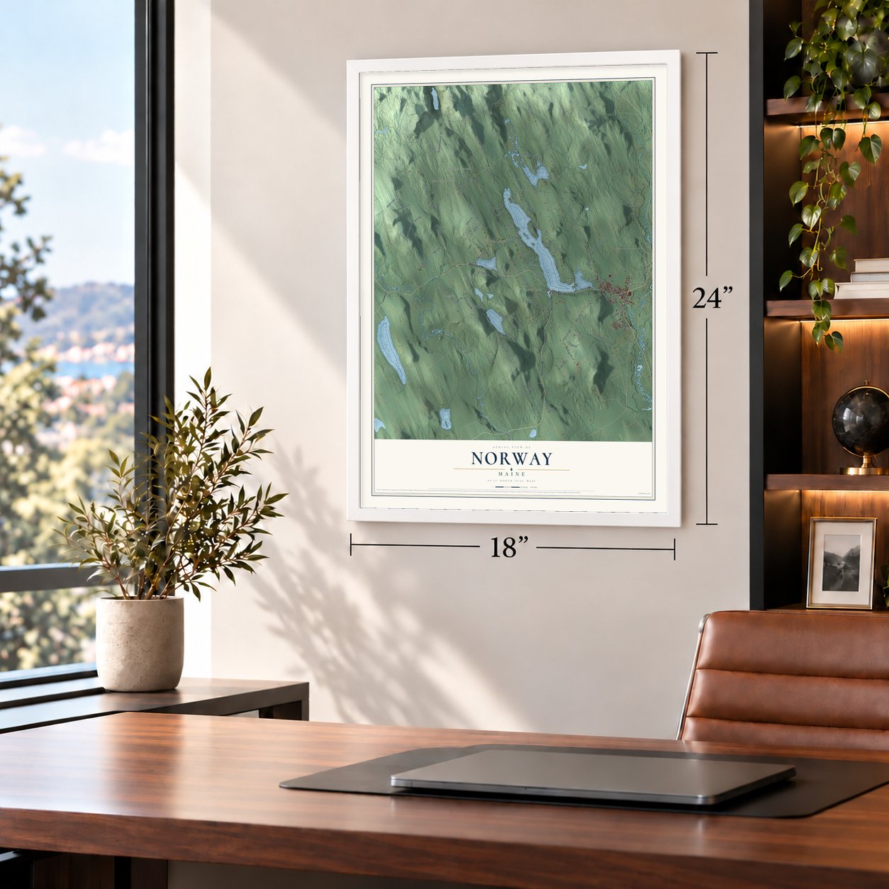
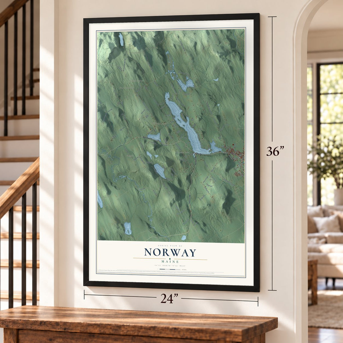
Unframed archival matte, a black wood frame or a white wood frame.
Up close
Geography Worth Displaying
This map was created using accurate cartographic data and authoritative geographic sources, including the U.S. Geological Survey (USGS) and FEMA. The map brings together terrain, waterways, roads, and building detail. The majority of the streets are labeled, houses are accurately depicted, and the topography is derived from government sources. Combining local data with carefully composed color and shading leads to this beautifully detailed Norway artwork for your wall.
Rather than simply showing street outlines, we’ve included as many of the street names as we could reasonably fit on the map while keeping their names legible. Zoom in on the high resolution preview to see exactly what’s on the map. We truly set out to create a statement piece for anyone who loves Norway. So whether it’s for you, or a gift for someone you love, we hope this map of Norway brings back fond memories.
Explore the full map of Norway, Maine and read about the local places it shows.

Find your street
Names on the Norway map
Every name below is printed on this map. Look for your street, your school, the park where you played, or the pond down the road.
Places and landmarks5
- Nobles Corner
- North Norway
- Yagger
- Norway Lake
- Norway Center
Streets and roads125
- Harrison Road
- Main Street
- Lake Road
- Fair Street
- Waterford Road
- Alpine Street
- Eddie Kahkonen Road
- Round the Pond Road
- Jackson Lane
- South Boulevard
- Old Stage Road
- Wiley Road
- Country Club Road
- Norway Center Road
- Delano Drive
- North Norway Road
- Dunn Road
- Town Farm Road
- Youngs Lane
- Crockett Ridge Road
- Greenwood Road
- Shedd Road
- Sodom Road
- Pleasant Street
- Yagger Road
- Ralph Richardson Road
- Morse Road
- Pikes Hill
- Round-The-Pond Road
- Upton Brothers Road
Show all 125 streets
- Ashton Road
- Morrill Road
- McIntire Road
- Roberts Road
- Parsons Road
- Frost Hill Road
- Watson Road
- Valhalla Lane
- Moose Hill Road
- Sandy Shore Lane
- Emerson Road
- Thomas Hill Road
- Isaiah Mount Lane
- Pikes Hill Road
- Holt Road
- Norway
- Scout Lane
- Beaver Way
- Lyman Herrick Road
- Shepards Lane
- Bean Lane
- Point Lane
- Brackett Road
- Thurston Road
- Beal Street
- Fire Lane 10
- Cottage Street
- Daniels Road
- Cross Road
- McKay Road
- Jim Hill Drive
- Hemingway Road
- Buck Road
- Rye Knoll Drive
- Damon Road
- Shore Lane
- Gore Road
- Overlook Drive
- Ricker Road
- Cherry Drive
- Elm Street
- Paris Street
- Wilderness Lane
- Fire Lane 5
- Patch Mountain Road
- Cove To Cove Lane
- Goat Island Way
- Baxter Lane
- Fire Lane 21
- Hidden Acres Lane
- Graiver Drive
- Saunders Road
- Eagle Way
- Goose Way
- Nancy Ann Drive
- Penn Road
- Bill Howe Road
- French Road
- Merles Landing
- Dove Way
- Fire Lane 13
- Don Hunt Road
- Mallard Way
- Orchard Street
- Holman Lane
- Whitman Street
- Slow Lane
- Marion Avenue
- Mary Lane
- Hart Drive
- Outlet Lane
- Mayflower Way
- Hutchins Street
- High Ridge Road
- Rabbit Way
- Flint Lane
- Fire Lane 4
- Horne Street
- Cobb Road
- Cox Drive
- Ivy Drive
- Larson Road
- Fire Lane 12
- Hayes Road
- Huntington Avenue
- Harry Bell Road
- Water Street
- Dean Avenue
- Hall Lane
- Butters Road
- Valhalla Road
- Hayden Avenue
- Britton Drive
- Everett Drive
- Robin Way
Names are listed as they appear on the printed map. Zoom into the product photos to find them.
About Norway, Maine
Norway is a town of 5,077 people in Oxford County, Maine, on the shores of Pennesseewassee Lake. In 1786 six men, among them Joseph Stevens, George Leslie and Amos Hobbs, started clearing land and putting up houses here, hoping to draw more families to their settlement. Many of the early settlers were Revolutionary War veterans, including Phineas Whitney, who had fought at Bunker Hill. A sawmill and a gristmill were running by 1789, the first road came in 1796, and the town was incorporated on March 9, 1797.
Before that, the township went by Rustfield, after Henry Rust of Salem, Massachusetts, a leading landowner. The settlers also once asked the Massachusetts General Court to call the place Norage, a native word for falls. Norway, the name they finally chose, honored people from Norway in Scandinavia, as A Gazetteer of the State of Maine tells it.
- Snowshoe Capital of the WorldA. M. Dunham began making snowshoes in Norway in 1878 and sold them across North America; explorer Robert Peary praised them in Secrets of Polar Travel. Walter Tubbs founded the Tubbs Snowshoe Company here in 1906. It built ash snowshoes, plus skis, sleds and furniture, and outfitted Byrd's polar expeditions. When Tubbs moved to Vermont in the early 1930s, Kenneth Aldrich's SnoCraft Inc. took over the factory and made 70% of the U.S. government's World War II snowshoe orders.
- The Great Norway FireOn May 9, 1894, fire started at the Main Street mill of C. B. Cummings & Sons. A strong wind drove it through much of the business district, and it burned the opera house, the Congregational Church, the tannery and 80 other buildings, many of them homes. Rebuilding began that same year, and much of Main Street went back up in brick instead of wood.
- Water power and a stage roadThe Pennesseewassee waters, which flow into the Little Androscoggin River, powered mills that made cloth and carded wool, factories that turned out furniture, boxes and shovel handles, and two grain mills. Shoemaking started in 1872. The stage road from Paris to Fryeburg ran through town, and by 1878 Norway had 32 stores. The 1.45 mile Norway Branch Railroad opened on December 30, 1879, linking the village to the main line at South Paris.
- Dowels to running shoesThe C. B. Cummings & Son Company, founded in 1850, turned out dowels and other wooden parts in downtown Norway for more than a century. It closed in 2001, when American furniture makers could no longer match the low costs of factories in China, and its plant was sold at auction. Shoemaking held on: the New Balance Shoe Company opened a factory in Norway in 1997, and it still makes shoes here.
- Off to war under BealDuring the Civil War, Norway joined other Oxford County towns in raising a militia that became part of the 1st Maine Volunteer Infantry Regiment, led by George Lafayette Beal. Beal later rose to major general and served as Maine's State Treasurer from 1888 to 1894.
Keep exploring Maine
Norway is one of 536 Maine towns we've mapped. Every dot on the map is a print of its own.
The search covers every state, Maine first.
Near Norway
Order 2 or more town maps and save 10%. Shown in the size and finish you picked above, so they hang as a set.
- South Paris 12" x 18" / Archival Matte Print $39.99
- Waterford 12" x 18" / Archival Matte Print $39.99
- Paris 12" x 18" / Archival Matte Print $39.99

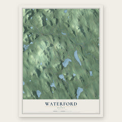
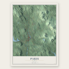
More maps nearby: West Paris, Greenwood, Harrison, Oxford and Otisfield.
The art of mapping a place
How This Map Was Made
Real places. Remarkable detail. Discover the layers that turn geographic data into a map of home.

The view from above
Aerial imagery reveals the character of the land: woodland, open fields, and the patterns of a place.

The shape of the land
Elevation data brings hills, valleys, and subtle changes in the landscape into view.

The details of home
Roads, waterways, and building footprints come together to make the map feel unmistakably local.

Geography becomes art
Considered color, shading, and typography bring the layers together in a map made for your wall.


Process illustrated with Mendon, Massachusetts. Aerial imagery: USDA NAIP. Terrain: USGS 3D Elevation Program. Map details and finished artwork: KNOWOL.
The Details
About This Print
Choose an archival matte print, or a black or white Ayous wood frame. The archival matte print is unframed.
Select your size and finish above to see the matching product image and price.
Materials & Craftsmanship
A contemporary map with the character of a classic atlas, printed on archival matte paper. Optional frames are made from Ayous wood.
Your printed map does not include the watermark shown in the full-map preview.
Shipping & Delivery
Free shipping within the United States. Every print is made to order in the USA.
Buying a gift? Add a note in your cart and we'll include it. We never put prices in the package.
Prints ship within 2 to 3 business days. Allow 7 to 10 days total from ordering for delivery. Timing may vary during holidays or periods of high order volume.
Read our shipping policy.
Returns and damaged prints
Each print is made to order. Change-of-mind refunds are not available after production.
If your print arrives damaged, misprinted or incorrect, contact support@knowol.com within 30 days of receiving it. Include your order number, photos and a description of the issue.
Read our full refund and replacement policy. For questions about your order, email support@knowol.com.