
Search for another town

Free U.S. delivery 7 to 10 days after you order
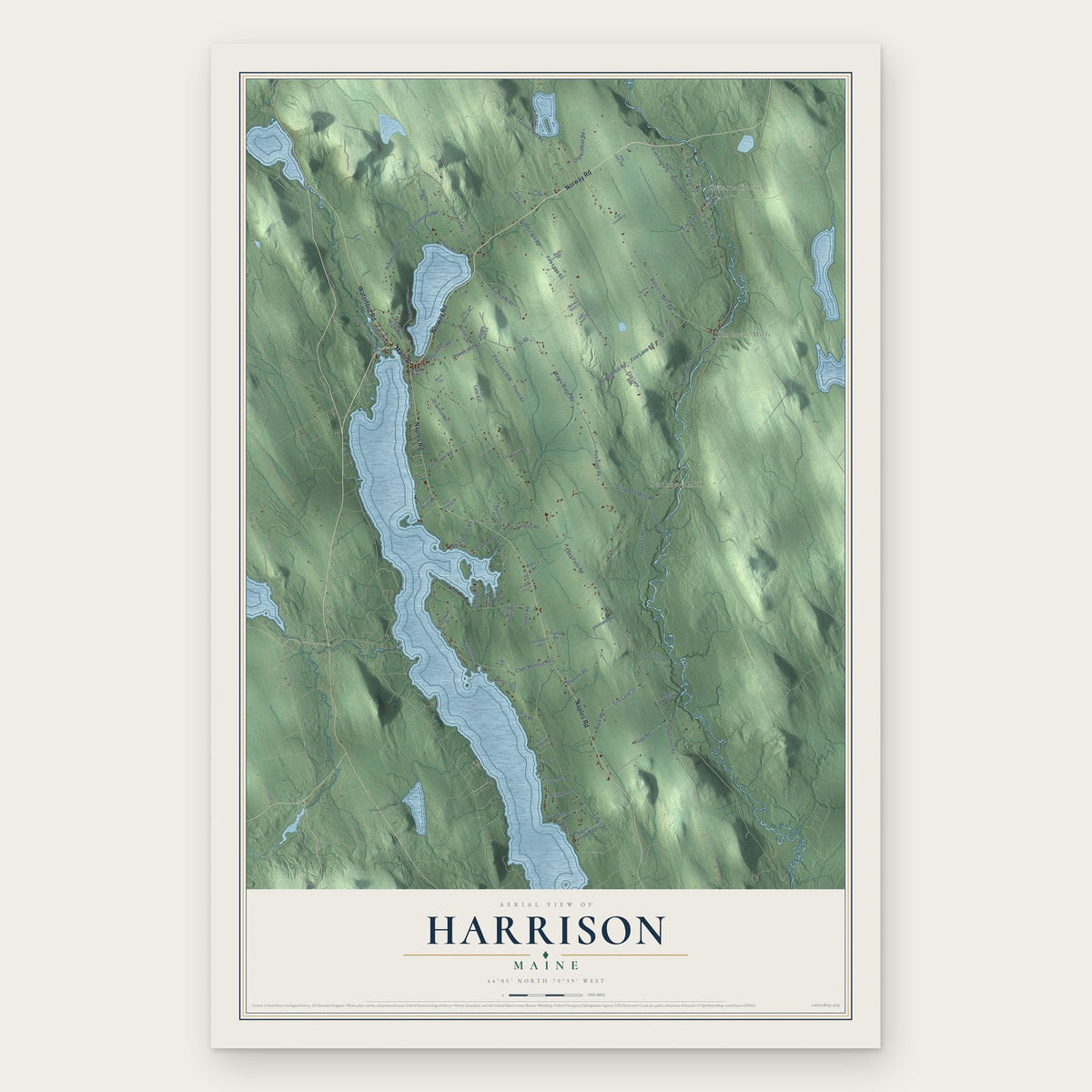
Harrison, Maine Map Art
Building by building, with labeled streets and shaded relief.
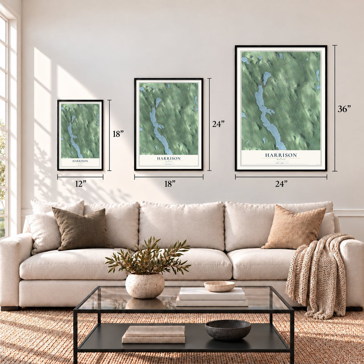
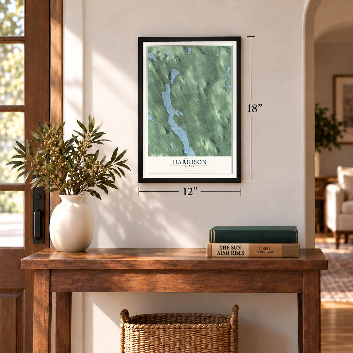
12" x 18" Archival Matte Print
A Map of Home. A Work of Art.
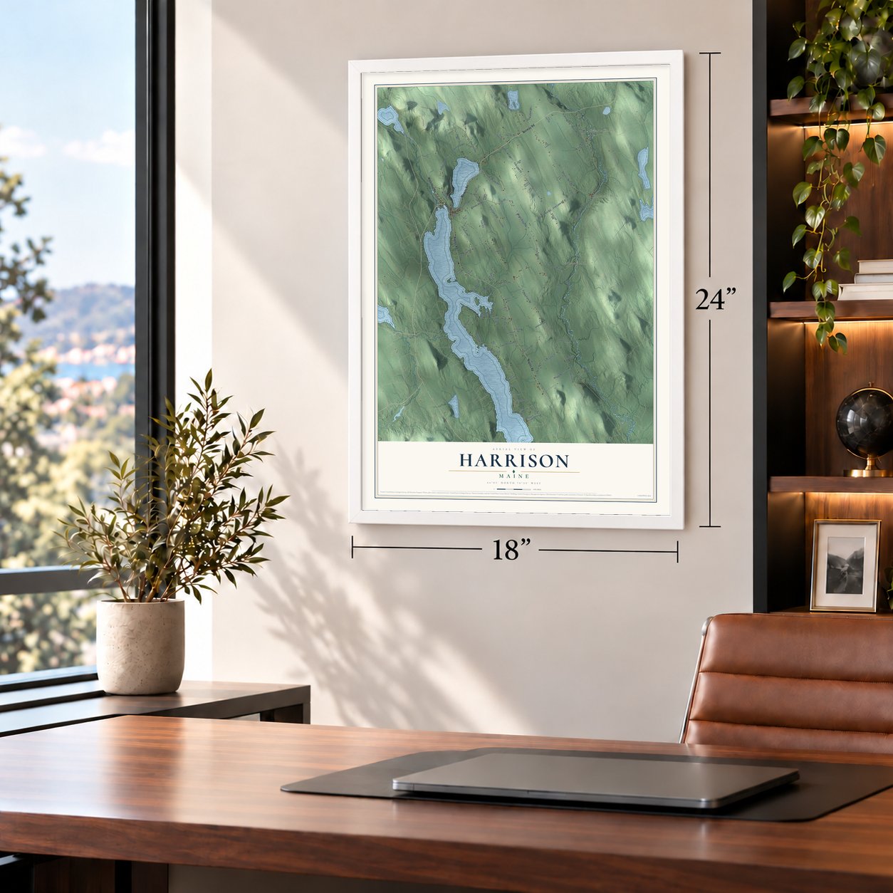
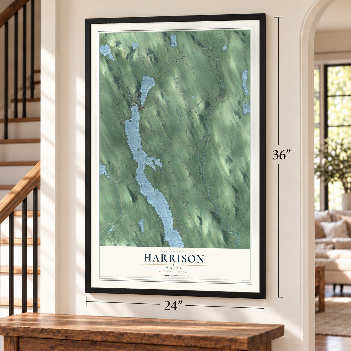
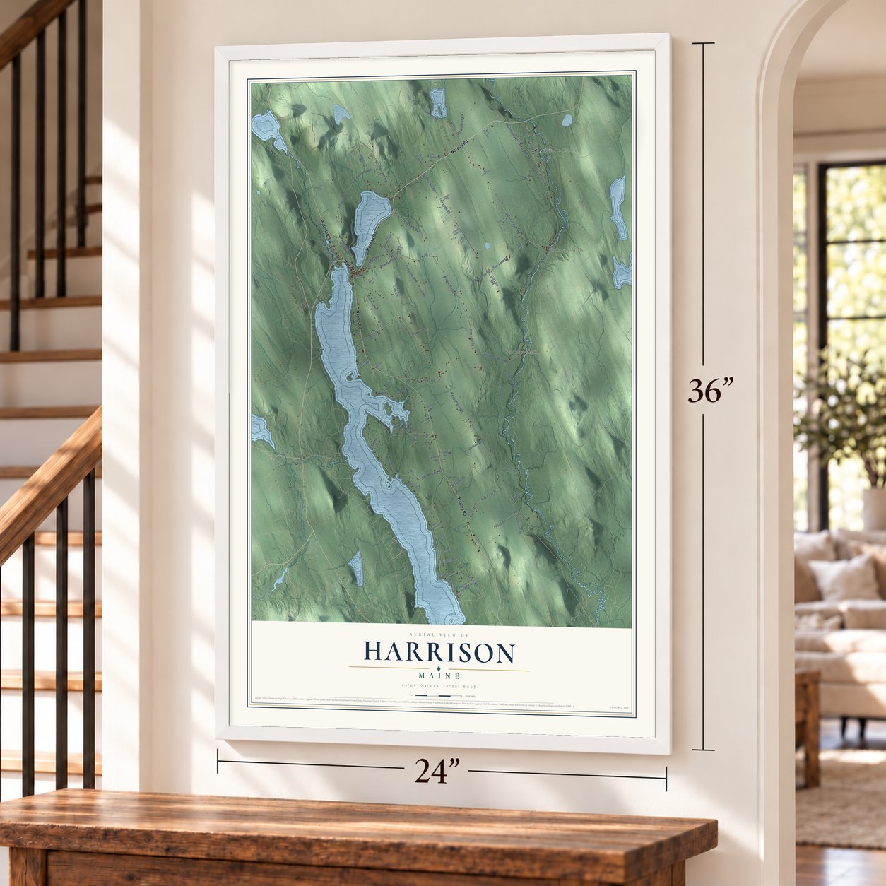
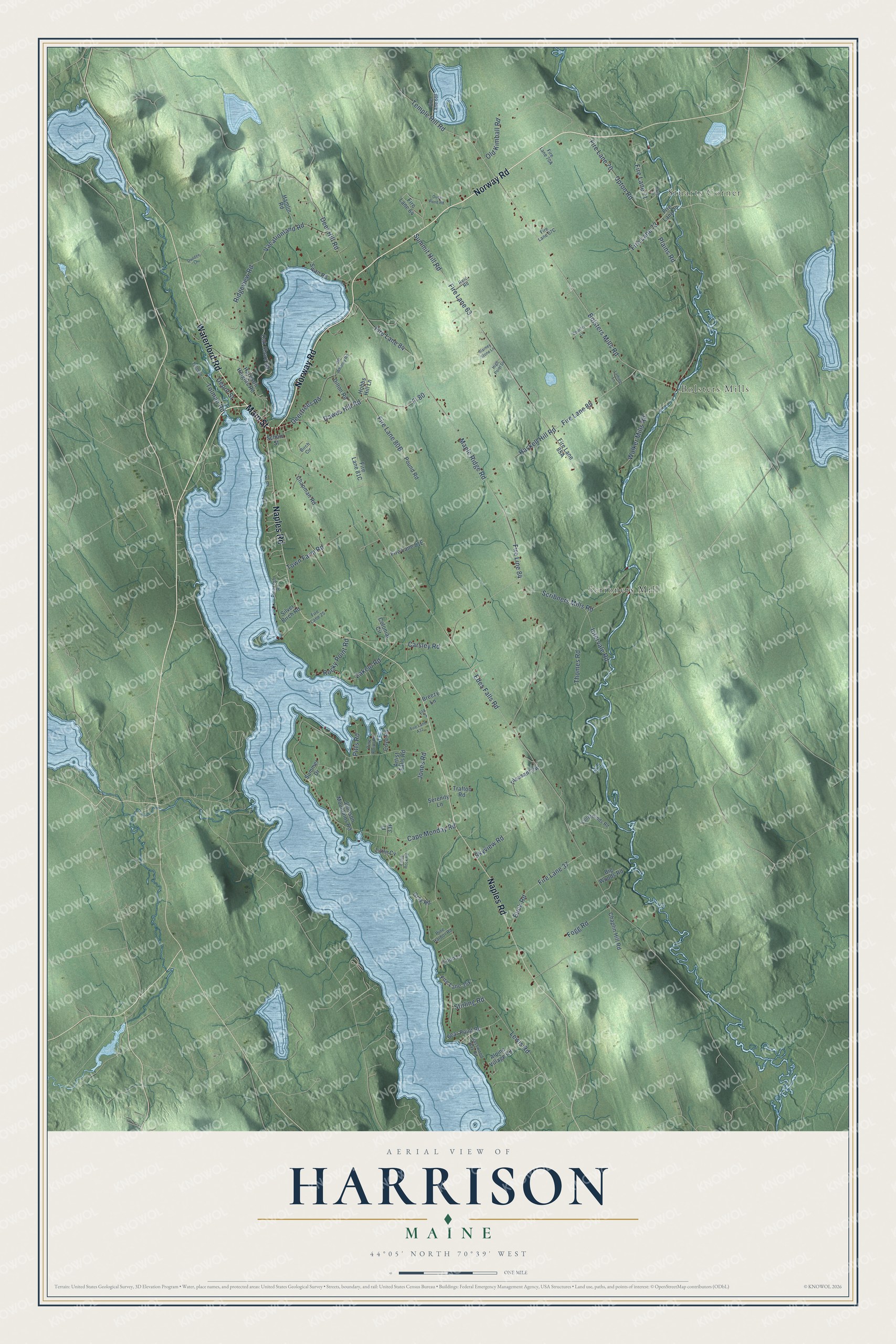
Explore Harrison, Maine from a whole new perspective. Created using aerial imagery and detailed geographic data, this map captures Harrison building by building, with labeled streets, familiar landmarks, and shaded topographical relief that highlights the natural contours of the landscape.
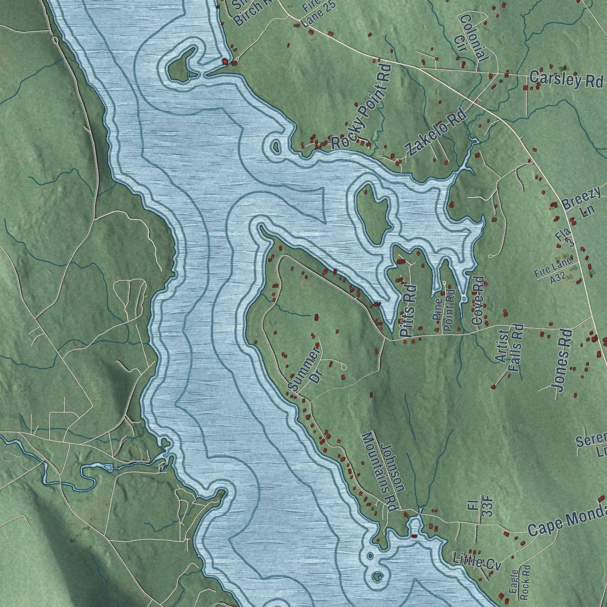
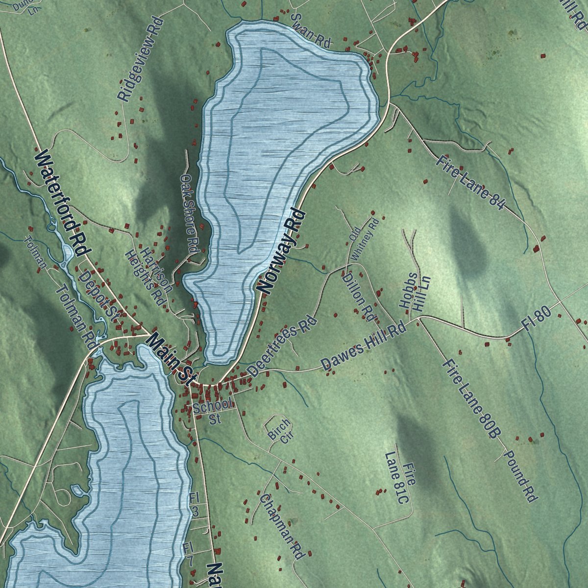
Combining modern data with the timeless character of a vintage atlas, this map is just as interesting up close as it is beautiful on the wall. Whether you grew up in Harrison, spent memorable years there, or call it home today, this unique map is a great way to celebrate a place that means something to you. Zoom in on the preview to look for your street, and then order a print to put your memories on the wall.
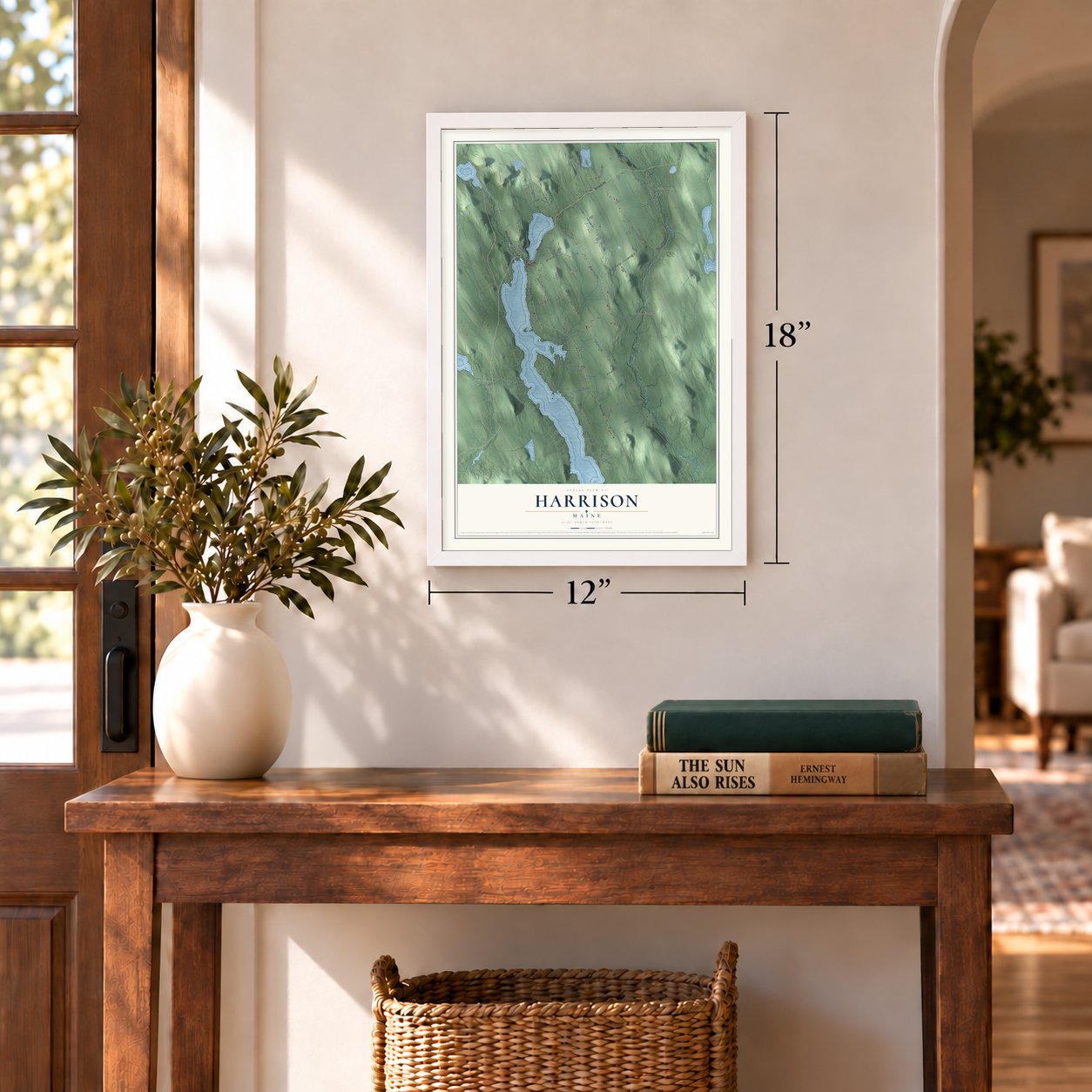
Three ways to hang it
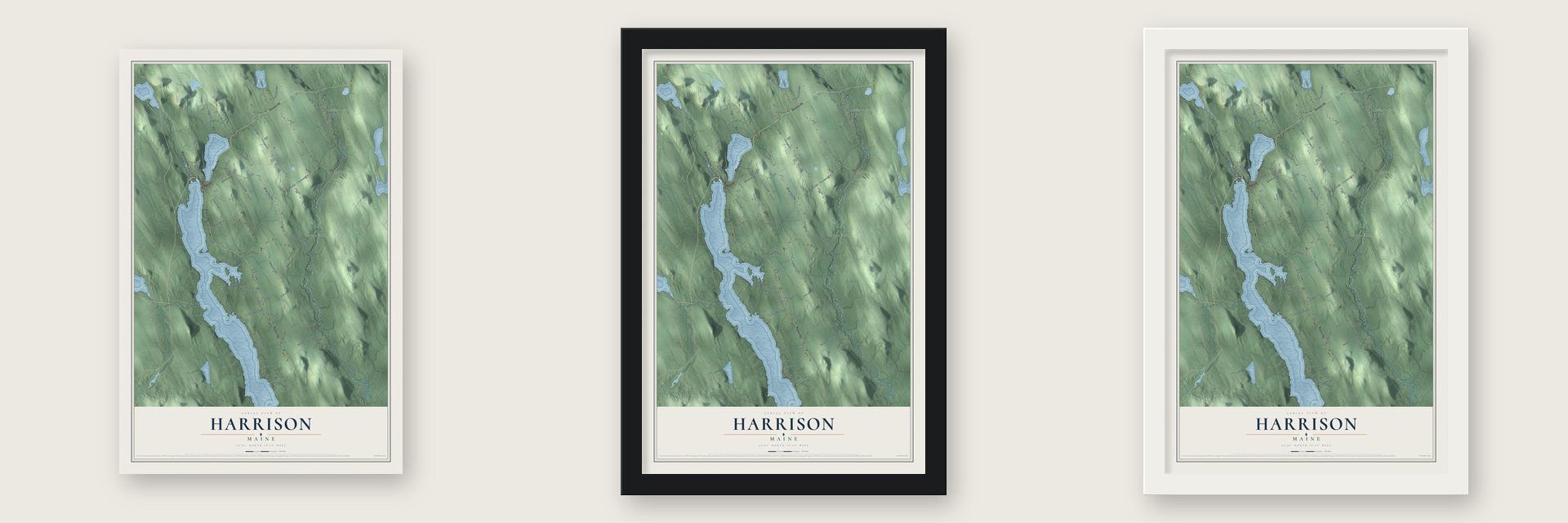
Unframed archival matte, a black wood frame or a white wood frame.
Up close
Geography Worth Displaying
This map was created using accurate cartographic data and authoritative geographic sources, including the U.S. Geological Survey (USGS) and FEMA. The map brings together terrain, waterways, roads, and building detail. The majority of the streets are labeled, houses are accurately depicted, and the topography is derived from government sources. Combining local data with carefully composed color and shading leads to this beautifully detailed Harrison artwork for your wall.
Rather than simply showing street outlines, we’ve included as many of the street names as we could reasonably fit on the map while keeping their names legible. Zoom in on the high resolution preview to see exactly what’s on the map. We truly set out to create a statement piece for anyone who loves Harrison. So whether it’s for you, or a gift for someone you love, we hope this map of Harrison brings back fond memories.
Explore the full map of Harrison, Maine and read about the local places it shows.

Find your street
Names on the Harrison map
Every name below is printed on this map. Look for your street, your school, the park where you played, or the pond down the road.
Places and landmarks3
- Stuarts Corner
- Bolsters Mills
- Scribners Mill
Streets and roads95
- Norway Road
- Waterford Road
- Main Street
- Naples Road
- Bolsters Mills Road
- Dawes Hill Road
- Temple Hill Road
- Fl 80
- Fire Lane 84
- Fire Lane 71
- Deer Hill Road
- Edes Falls Road
- Maple Ridge Road
- Cape Monday Road
- Plains Road
- Lewis Road
- Fire Lane 63
- Summit Hill Road
- Carsley Road
- Haskell Hill Road
- Fire Line 84
- Fogg Road
- Thomes Road
- Scribners Mills Road
- Deertrees Road
- Walker Mills Road
- Upton Road
- Fire Lane 85
- Ridgeview Road
- Fire Lane 70
Show all 95 streets
- Town Farm Road
- Skyview Road
- Old Kimball Road
- Vacationland Road
- Zakelo Road
- Intervale Road
- Rocky Point Road
- Buck Road
- Fire Lane 37
- Fire Lane 73
- Depot Street
- Tolman Road
- Pitts Road
- Stirling Road
- Jones Road
- Pound Road
- Fire Lane 72
- Harrison Heights Road
- Bear Point Road
- Fire Lane 64
- Pleasant Vw
- Oak Shore Road
- Alpine Village Road
- Chapman Road
- Little Cv
- Chaplin Hill Road
- Hobbs Hill Lane
- Colonial Circle
- Hamlin Road
- Silver Birch Road
- Dillon Road
- Johnson Mountains Road
- Big Woods Road
- Summer Drive
- Artist Falls Road
- Loon Lane
- Gray Road
- Swan Road
- Trafton Road
- Serenity Lane
- Cove Road
- Breezy Lane
- School Street
- Fl 7
- Fl 3
- Fairgrounds Road
- Birch Circle
- Pine Harbor Road
- Pinecroft Road
- Pine Point Road
- Basswood Bay Road
- Tolman
- Reid Road
- Fire Lane 25
- Fla 3
- Eagle Rock Road
- Twig Circle
- Dundee Lane
- Country Lane
- Duck Pond Road
- High Point Drive
- Old Whitney Road
- Fire Lane A32
- Blarney Stone Lane
- Laming Lane
Names are listed as they appear on the printed map. Zoom into the product photos to find them.
About Harrison, Maine
Harrison is a town of 2,447 people in Cumberland County, set between Long Lake and Crystal Lake. Its land began as Otis Field Plantation, which the Massachusetts General Court granted in 1771 to James Otis and the other heirs of Captain John Gorham's company, a reward for their part in the 1690 fight at Quebec. The plantation became the town of Otisfield in 1797, and on March 8, 1805, Harrison was formed from parts of Otisfield and Bridgton. It took the name of Harrison Gray Otis of Boston, James Otis's heir and one of its chief landowners.
Two brothers, John and Nathan Carsley, came up from Gorham in the fall of 1792, cleared some land and built a camp, then went home for the winter. They came back with their wives in March 1793. Nathan and his wife returned to Gorham until 1796, but John and his wife stayed, so John is counted as Harrison's first permanent settler. The pioneers who followed lived in log houses with moss packed between the logs.
- Where the canal endedThe Cumberland and Oxford Canal opened in 1832. Its 27 locks raised boats from Casco Bay to Sebago Lake, 270 feet higher, and from there they followed the Songo River, Brandy Pond and the Chute River into Long Lake. The canal was meant to reach Oxford County but stopped at Harrison, which grew into a trading town with wharves and warehouses along its shore. Once trains reached Sebago Lake Station in 1870, the canal was given up.
- Passengers as ballastThe first steamboat on these lakes was Fawn, launched in 1847 by the Sebago & Long Pond Steam Navigation Company. Its shallow hull let it work up the twisting Songo River, and on the sharp bends passengers were asked to move to one side so both paddlewheels stayed in the water.
- Summer visitors arriveSummer visitors came after the steamboats. The Elm House opened in 1860, and in 1898 the narrow-gauge Bridgton and Saco River Railroad began running straight to Harrison. The Harrison Hotel opened in 1906.
- Mills on the outletWater running from Crystal Lake into Long Lake powered Harrison's first sawmill and gristmill, both built by James Sampson in the village. Wire-making, a foundry, a shingle mill, a carriage maker and a shoe shop came later. Scribner's Mill went up on the Crooked River in 1847 and is now a museum. On the Bear River, the Harrison Water Power Company opened the Bear River Woolen Mill in 1867, but fire destroyed it in 1872.
- Deertrees Theatre, 1936Enrica Clay Dillon built Deertrees Theatre in 1936, using hemlock cut right on the grounds and framing an arch with whole tree trunks. After spells of being closed, the theatre was restored and opened again. It still stages plays, opera and concerts, among them the Sebago Long Lake Music Festival.
Keep exploring Maine
Harrison is one of 536 Maine towns we've mapped. Every dot on the map is a print of its own.
The search covers every state, Maine first.
Near Harrison
Order 2 or more town maps and save 10%. Shown in the size and finish you picked above, so they hang as a set.
- Otisfield 12" x 18" / Archival Matte Print $39.99
- Bridgton 12" x 18" / Archival Matte Print $39.99
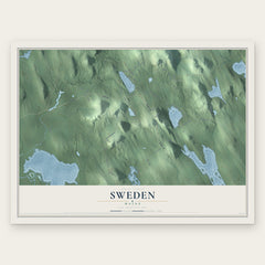
- Sweden 12" x 18" / Archival Matte Print $39.99

More maps nearby: Waterford, Norway, Oxford, Naples and South Paris.
The art of mapping a place
How This Map Was Made
Real places. Remarkable detail. Discover the layers that turn geographic data into a map of home.

The view from above
Aerial imagery reveals the character of the land: woodland, open fields, and the patterns of a place.

The shape of the land
Elevation data brings hills, valleys, and subtle changes in the landscape into view.

The details of home
Roads, waterways, and building footprints come together to make the map feel unmistakably local.

Geography becomes art
Considered color, shading, and typography bring the layers together in a map made for your wall.


Process illustrated with Mendon, Massachusetts. Aerial imagery: USDA NAIP. Terrain: USGS 3D Elevation Program. Map details and finished artwork: KNOWOL.
The Details
About This Print
Choose an archival matte print, or a black or white Ayous wood frame. The archival matte print is unframed.
Select your size and finish above to see the matching product image and price.
Materials & Craftsmanship
A contemporary map with the character of a classic atlas, printed on archival matte paper. Optional frames are made from Ayous wood.
Your printed map does not include the watermark shown in the full-map preview.
Shipping & Delivery
Free shipping within the United States. Every print is made to order in the USA.
Buying a gift? Add a note in your cart and we'll include it. We never put prices in the package.
Prints ship within 2 to 3 business days. Allow 7 to 10 days total from ordering for delivery. Timing may vary during holidays or periods of high order volume.
Read our shipping policy.
Returns and damaged prints
Each print is made to order. Change-of-mind refunds are not available after production.
If your print arrives damaged, misprinted or incorrect, contact support@knowol.com within 30 days of receiving it. Include your order number, photos and a description of the issue.
Read our full refund and replacement policy. For questions about your order, email support@knowol.com.