
Search for another town



Free U.S. delivery 7 to 10 days after you order
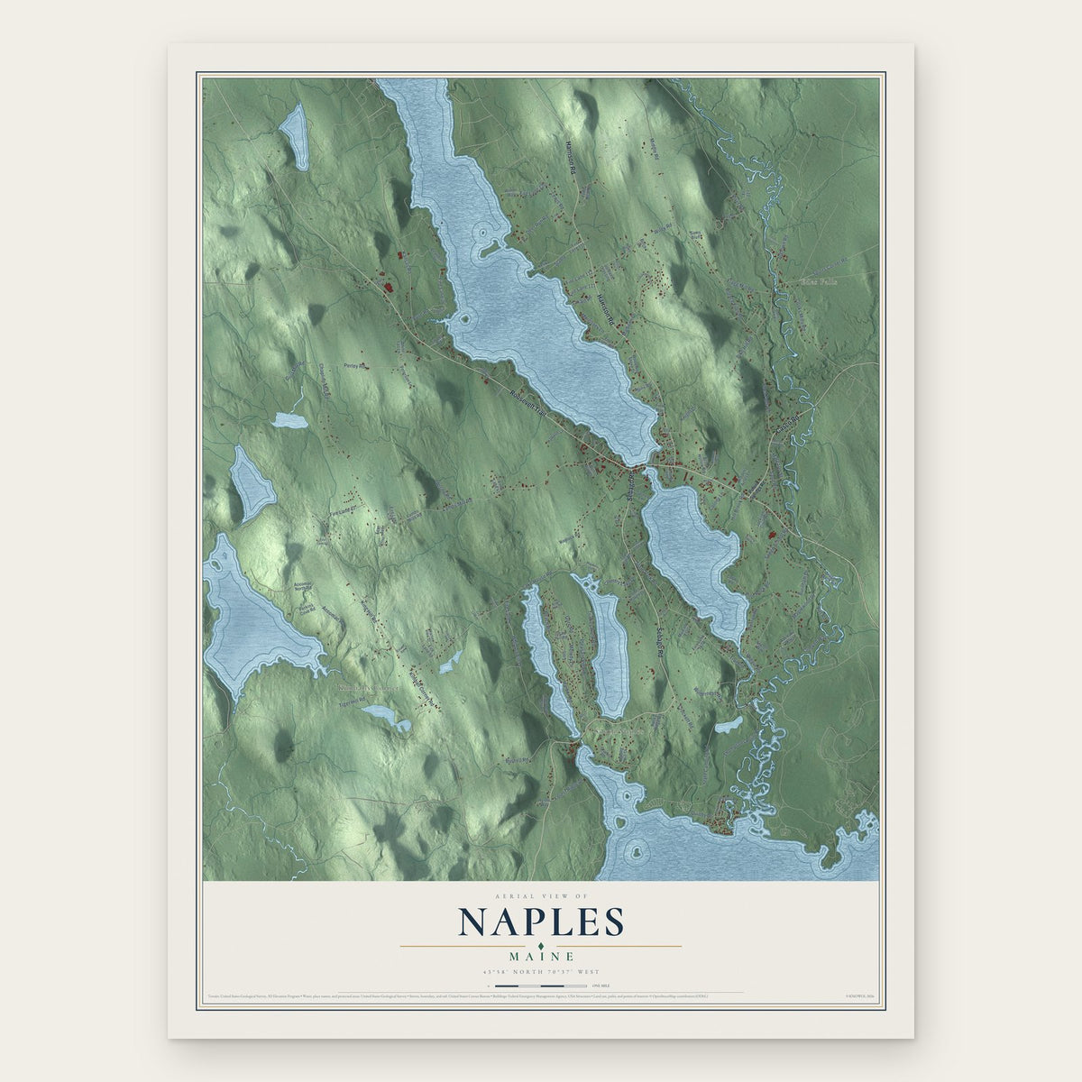
Naples, Maine Map Art
Building by building, with labeled streets and shaded relief.
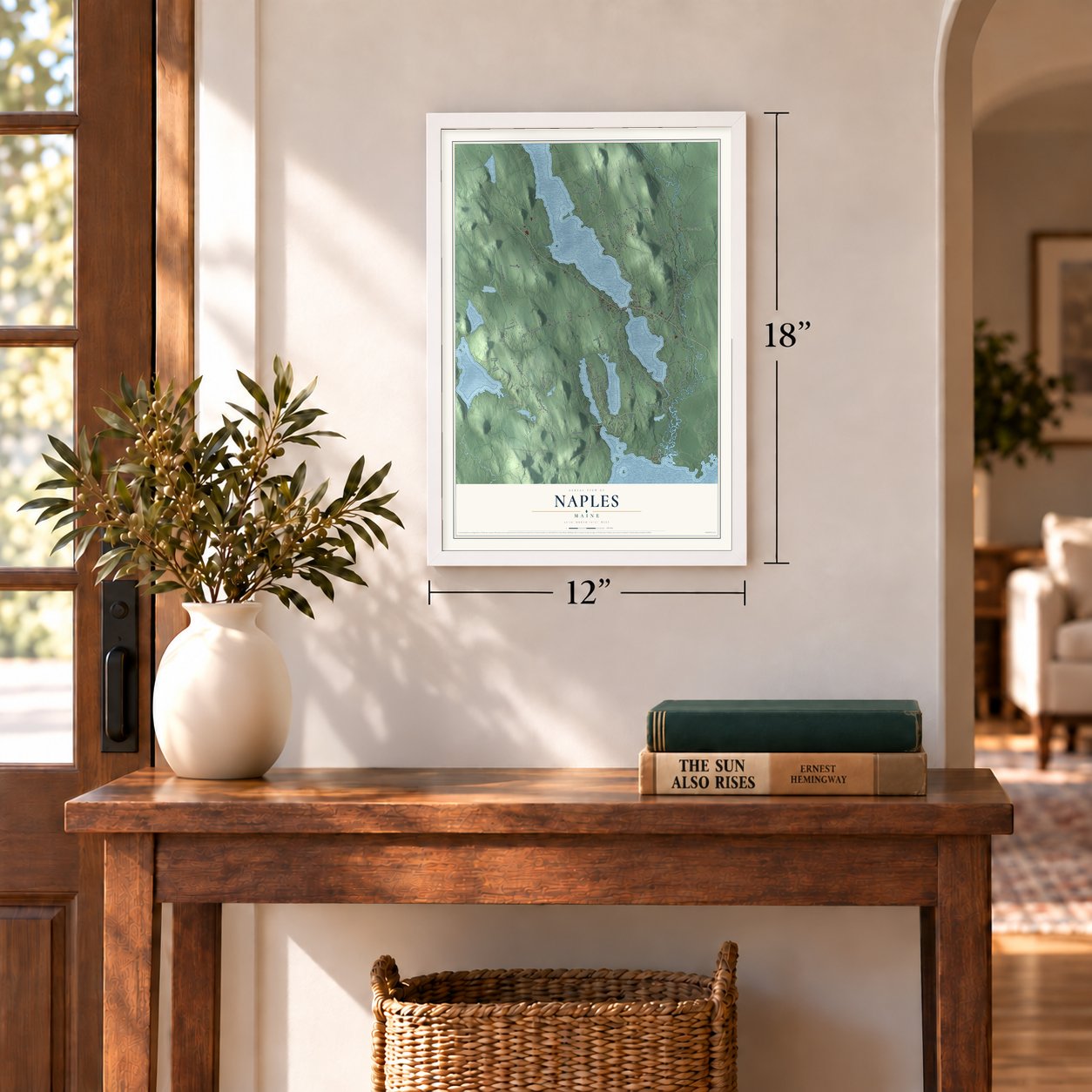
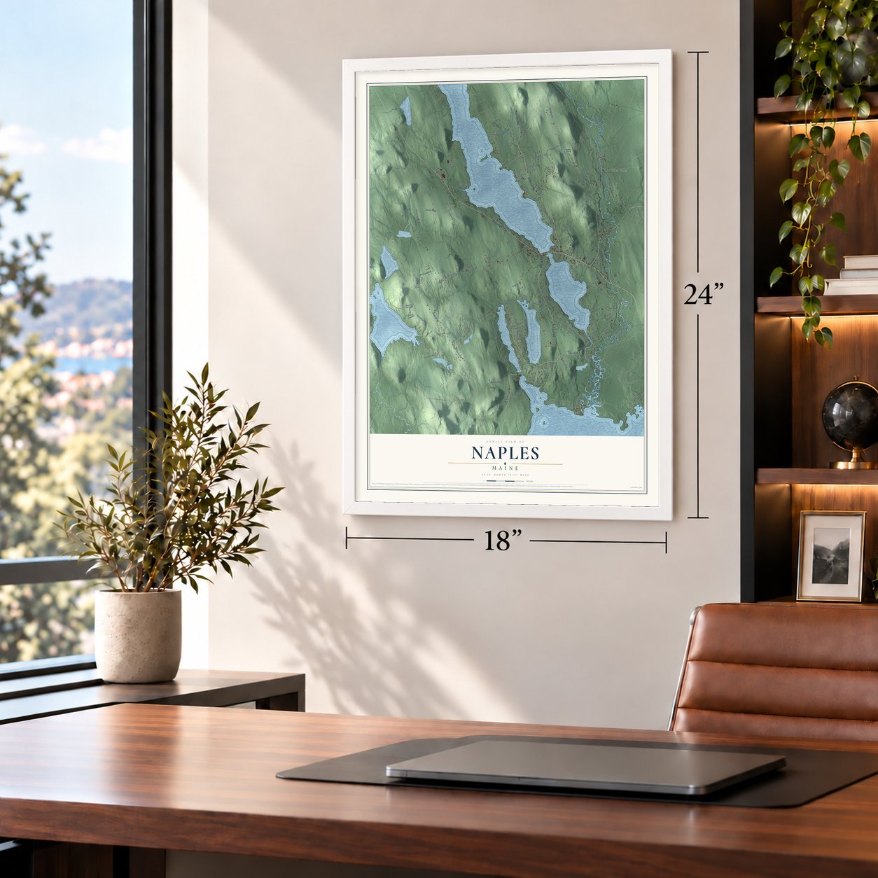
12" x 18" Archival Matte Print
A Map of Home. A Work of Art.
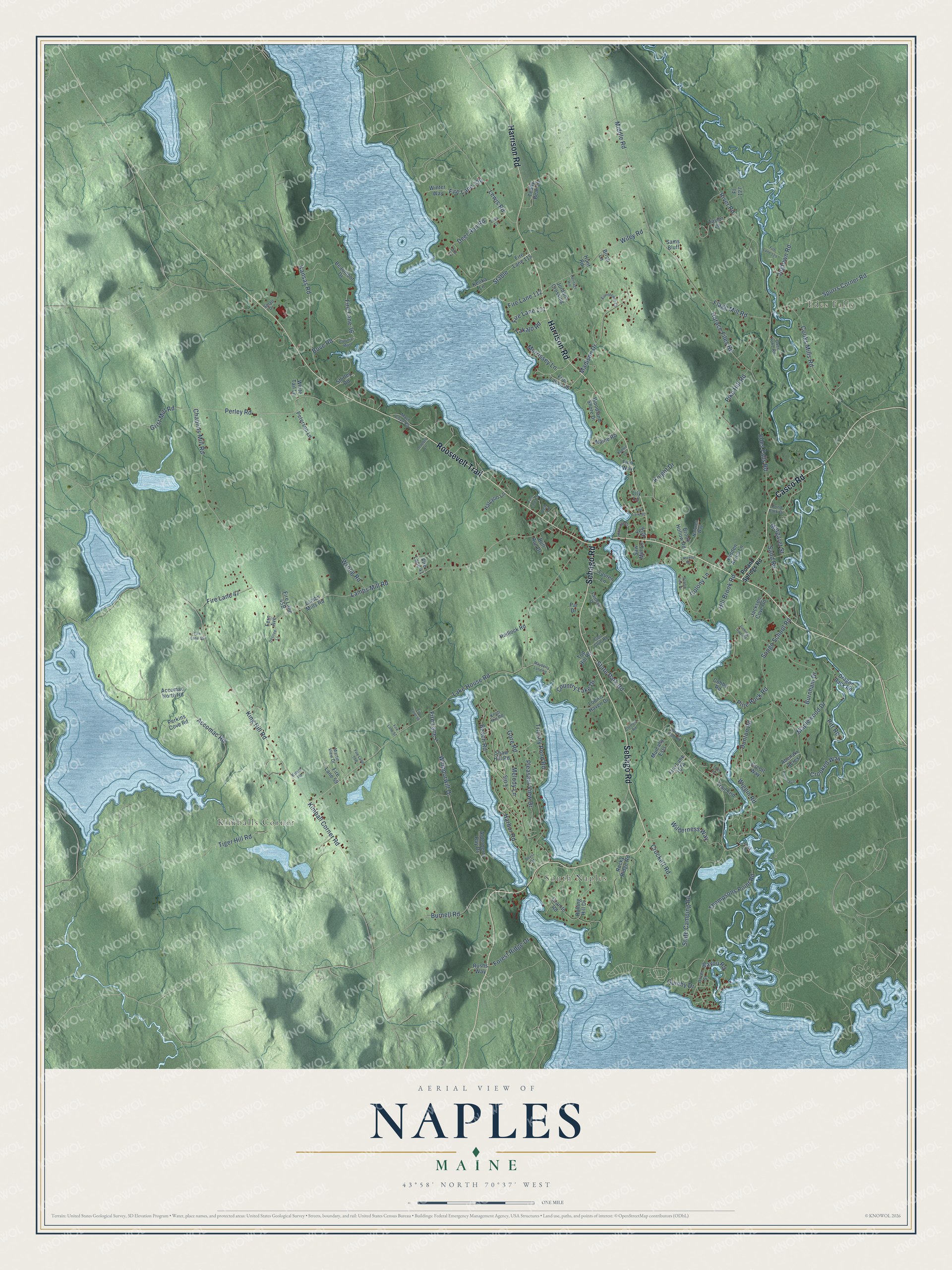
Explore Naples, Maine from a whole new perspective. Created using aerial imagery and detailed geographic data, this map captures Naples building by building, with labeled streets, familiar landmarks, and shaded topographical relief that highlights the natural contours of the landscape.
Combining modern data with the timeless character of a vintage atlas, this map is just as interesting up close as it is beautiful on the wall. Whether you grew up in Naples, spent memorable years there, or call it home today, this unique map is a great way to celebrate a place that means something to you. Zoom in on the preview to look for your street, and then order a print to put your memories on the wall.
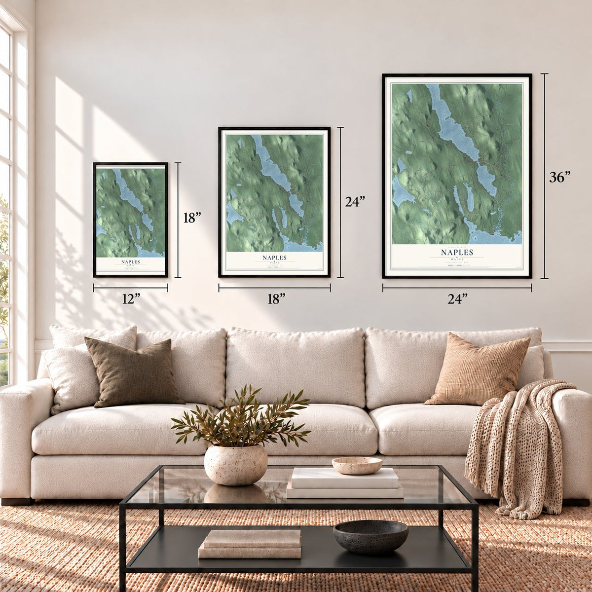
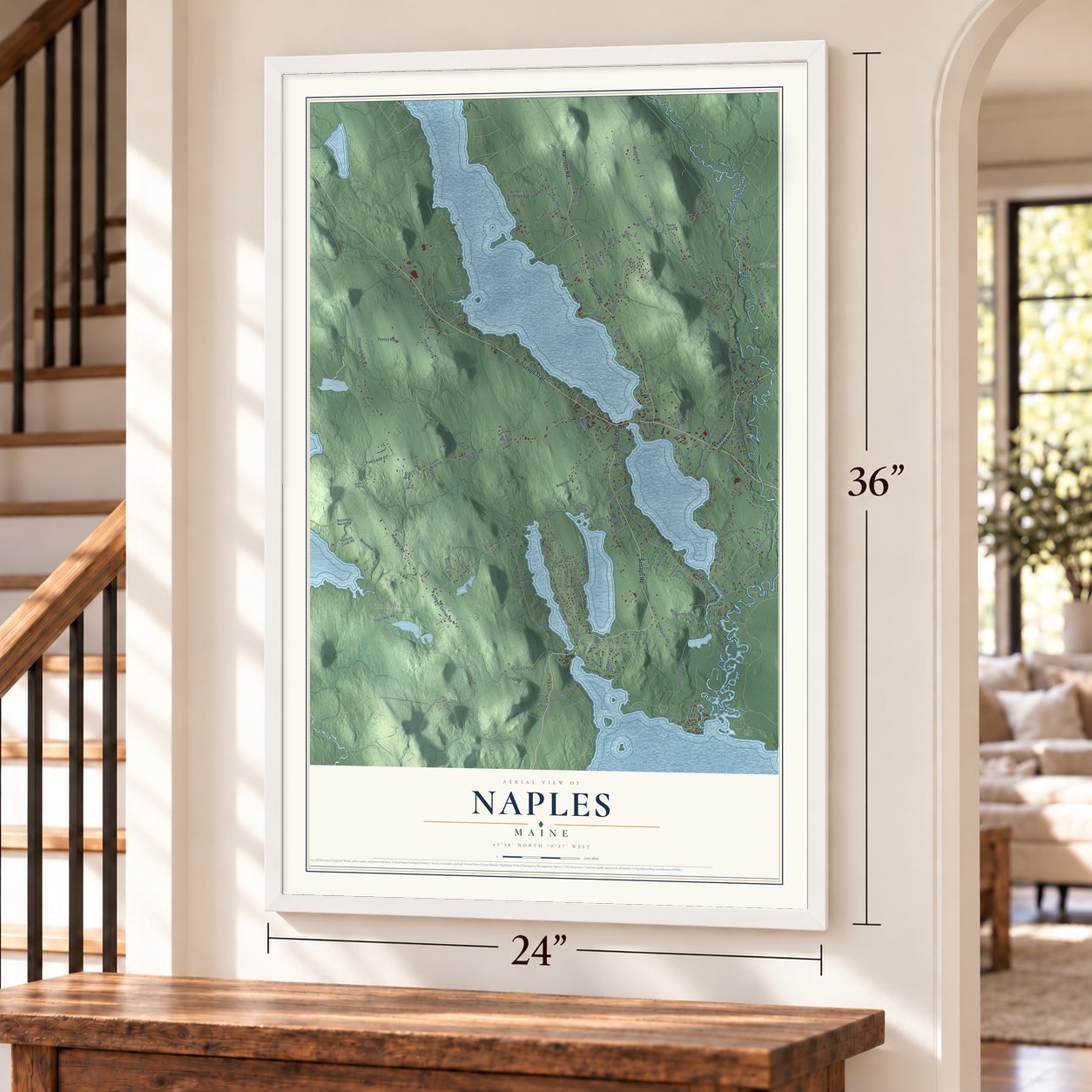
Three ways to hang it
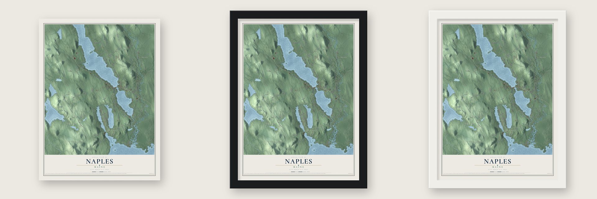
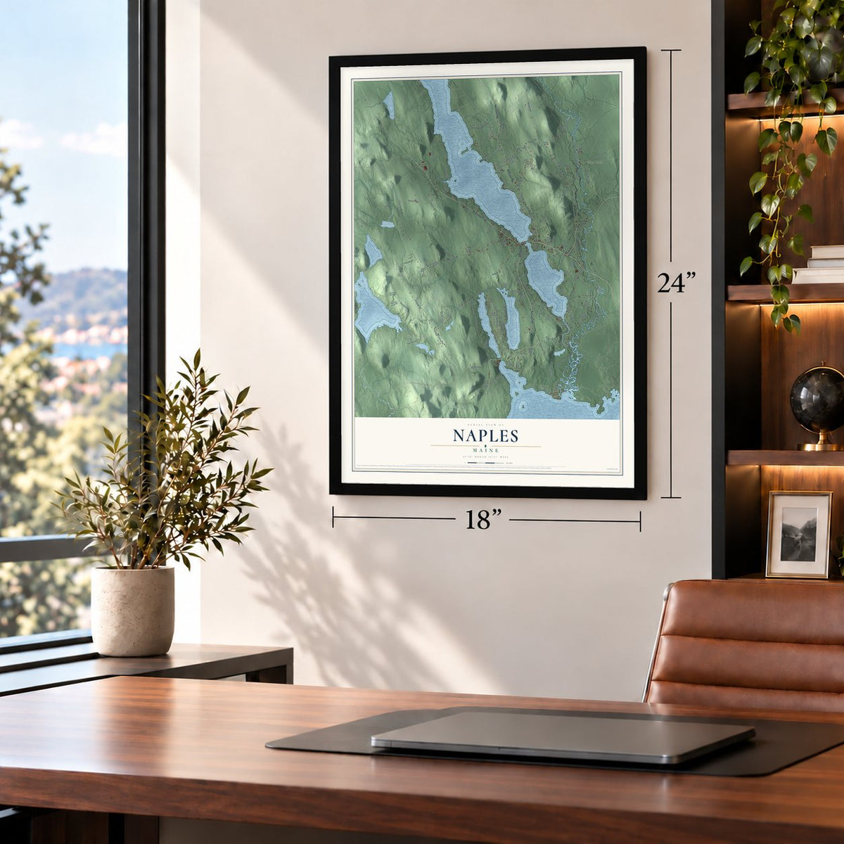
Unframed archival matte, a black wood frame or a white wood frame.
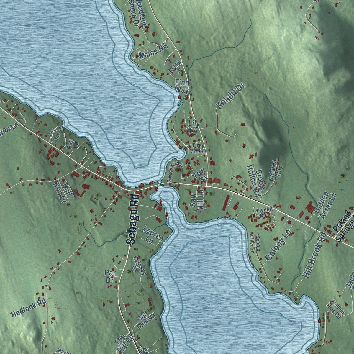
Up close
Geography Worth Displaying
This map was created using accurate cartographic data and authoritative geographic sources, including the U.S. Geological Survey (USGS) and FEMA. The map brings together terrain, waterways, roads, and building detail. The majority of the streets are labeled, houses are accurately depicted, and the topography is derived from government sources. Combining local data with carefully composed color and shading leads to this beautifully detailed Naples artwork for your wall.
Rather than simply showing street outlines, we’ve included as many of the street names as we could reasonably fit on the map while keeping their names legible. Zoom in on the high resolution preview to see exactly what’s on the map. We truly set out to create a statement piece for anyone who loves Naples. So whether it’s for you, or a gift for someone you love, we hope this map of Naples brings back fond memories.
Explore the full map of Naples, Maine and read about the local places it shows.
Find your street
Names on the Naples map
Every name below is printed on this map. Look for your street, your school, the park where you played, or the pond down the road.
Places and landmarks3
- Edes Falls
- South Naples
- Kimballs Corner
Streets and roads156
- Roosevelt Trail
- Harrison Road
- Sebago Road
- Casco Road
- River Road
- Lake House Road
- State Park Road
- King Hill Road
- Fire Lane 47
- Chaplins Mill Road
- Dunton Road
- Lois
- Lambs Mill Road
- Edes Falls Road
- Songo School Road
- Gore Road
- Wiley Road
- Jugtown Road
- Thompsons Point Road
- State Camping Road
- Perley Road
- Whipporwill Drive
- Trickey Pond Road
- Accomac Road
- Middle Road
- Kansas Road
- Spurrs Corner Road
- Cooks Mills Road
- Beach Road
- Bove Road
Show all 156 streets
- Fire Lane 36
- Maplewood Drive
- Harbor Road
- Madison Drive
- Burnham Drive
- Lewis Road
- Horace Files Road
- Kimball Corner Road
- Crooked Way
- Burnell Road
- Pleasant View Drive
- Sand Road
- Deer Run Road
- Flagg Mill Road
- Tiger Hill Road
- Fire Lane 7
- Pike Hill Road
- Wilderness Way
- Pine Rock Road
- Stable
- Bayou Road
- Grist Mill Road
- Country Lake Drive
- Knight Drive
- Forest Ridge Drive
- Wrong Road
- Margaret Street
- Hill Brook Road
- Melody Lane
- Fire Lane 112
- Crockett Road
- Fire Lane 120
- Colony Lane
- Morrissey Lane
- Takajo Road
- Fire Lane 111
- Pitt Road
- Wiggin Road
- Quinby Drive
- Teddy Bear Lane
- Rolling Hill Drive
- Jackson Cove Road
- Taylor Lane
- Beaumont Drive
- Woodland Shore Drive
- Alderberry Bay Drive
- Rocky Ridge Road
- Perkins Cove Road
- Lauren Lane
- Fire Lane 106
- Muicahy Ests
- Fire Lane 59
- Keoka Lane
- Hidden Acres Lane
- Brook Hollow Road
- Fire Lane 115
- Jordans Crossing
- Shaw Hill Road
- Winter Way
- Loon's Haven Drive
- Shirley Road
- Peterson Lane
- Hadlock Road
- Halcyon Lane
- Fire Lane 41
- Maine Road
- Abenaki Acres
- Trail End
- Top Hill Road
- Lambs Mills Road
- Accomac North Road
- Cobby Road
- Fl 127
- Saw Mill Lane
- Granite Road
- Rushs Way
- Dragon Back Road
- Bull Run Drive
- White Tail Lane
- Lily Lane
- Birch Lane
- Escott Way
- Sams Bluff
- Par Drive
- Fern Avenue
- Yew Street
- Hunt Road
- Finn Way
- Poland Springs Road
- Pond Park Drive
- Martin View Drive
- Knob Hill Road
- Natures Way
- Fairway Drive
- Mast Cove Road
- Golf Club Road
- Oliver Street
- Oxen Yoke Road
- Lisa Lane
- Lock Lane
- Small Drive
- Pea Lane
- Rabbit Lane
- Scenic View Drive
- Mayberry Landing
- Goodridge Drive
- Heritage Hill
- Eisenhower Court
- Colonial Mast
- Desiree Lane
- Fire Lane 129
- Clement Road
- Lancelot Road
- Pierce Avenue
- Breezy Point Road
- Fishing Hole Road
- Fire Lane 93
- Fire Lane 15
- October Lane
- Fire Lane 65
- Fire Lane 56
- Fire Lane 57
- Estate Road
- Roast Road
- Loon Lane
- Doe Court
Names are listed as they appear on the printed map. Zoom into the product photos to find them.
About Naples, Maine
Naples is a town of 3,925 people in Cumberland County, on the shores of Long Lake, Brandy Pond, Trickey Pond and Sebago Lake. Settlers came to the area in 1774. On March 4, 1834, the town was formed from pieces of four neighbors, Otisfield, Harrison, Raymond and Bridgton, and took the name of Naples, Italy. From 1845 to 1856 it grew again, taking land from Sebago, Otisfield and Bridgton.
The gravelly soil was scattered with boulders left by glaciers, so farming was hard, but the hilltops made good pasture and hay became the main crop. Naples village had a canning factory and a cooperage, and the town turned out carriages, clothing, boots and shoes.
- The canal's last lockSongo Lock was finished two years before the town was incorporated, as part of the Cumberland and Oxford Canal. It connected Long Lake and Brandy Pond to Sebago Lake, so boats could travel from Harrison all the way to Portland. Enlarged in 1911, it's the only lock left from the canal, and today summer pleasure boats pass through it near the northern tip of Sebago Lake State Park.
- The Bay of Naples InnCharles L. Goodridge, whose steamship company ran boats on Sebago Lake and the Songo River, built an inn for his passengers on a knoll at Long Lake's southern end. John Calvin Stevens designed it from a plan for the Metallak Hotel in Colebrook, New Hampshire, cut by two-fifths after a windstorm wrecked that hotel in April 1893. The inn opened its 80 bedrooms on July 26, 1899. It closed after the 1951 season and was torn down in 1964.
- Longfellow and Hawthorne cameThe lakes drew 19th-century visitors such as Henry Wadsworth Longfellow and Nathaniel Hawthorne, and tourism became the town's main business. Drivers followed once the Theodore Roosevelt International Highway was named in 1919. The road has carried the US Route 302 number since 1935.
- A state park in 1938Sebago Lake State Park opened in 1938 as one of Maine's first five state parks, and part of it lies in Naples.
Keep exploring Maine
Naples is one of 536 Maine towns we've mapped. Every dot on the map is a print of its own.
The search covers every state, Maine first.
Near Naples
Order 2 or more town maps and save 10%. Shown in the size and finish you picked above, so they hang as a set.
- Sebago 12" x 18" / Archival Matte Print $39.99
- Casco 12" x 18" / Archival Matte Print $39.99
- Bridgton 12" x 18" / Archival Matte Print $39.99

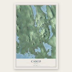
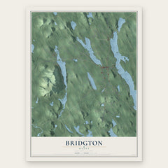
More maps nearby: Denmark, Harrison, Otisfield, Raymond and Baldwin.
The art of mapping a place
How This Map Was Made
Real places. Remarkable detail. Discover the layers that turn geographic data into a map of home.

The view from above
Aerial imagery reveals the character of the land: woodland, open fields, and the patterns of a place.

The shape of the land
Elevation data brings hills, valleys, and subtle changes in the landscape into view.

The details of home
Roads, waterways, and building footprints come together to make the map feel unmistakably local.

Geography becomes art
Considered color, shading, and typography bring the layers together in a map made for your wall.


Process illustrated with Mendon, Massachusetts. Aerial imagery: USDA NAIP. Terrain: USGS 3D Elevation Program. Map details and finished artwork: KNOWOL.
The Details
About This Print
Choose an archival matte print, or a black or white Ayous wood frame. The archival matte print is unframed.
Select your size and finish above to see the matching product image and price.
Materials & Craftsmanship
A contemporary map with the character of a classic atlas, printed on archival matte paper. Optional frames are made from Ayous wood.
Your printed map does not include the watermark shown in the full-map preview.
Shipping & Delivery
Free shipping within the United States. Every print is made to order in the USA.
Buying a gift? Add a note in your cart and we'll include it. We never put prices in the package.
Prints ship within 2 to 3 business days. Allow 7 to 10 days total from ordering for delivery. Timing may vary during holidays or periods of high order volume.
Read our shipping policy.
Returns and damaged prints
Each print is made to order. Change-of-mind refunds are not available after production.
If your print arrives damaged, misprinted or incorrect, contact support@knowol.com within 30 days of receiving it. Include your order number, photos and a description of the issue.
Read our full refund and replacement policy. For questions about your order, email support@knowol.com.