
Search for another town

Free U.S. delivery 7 to 10 days after you order
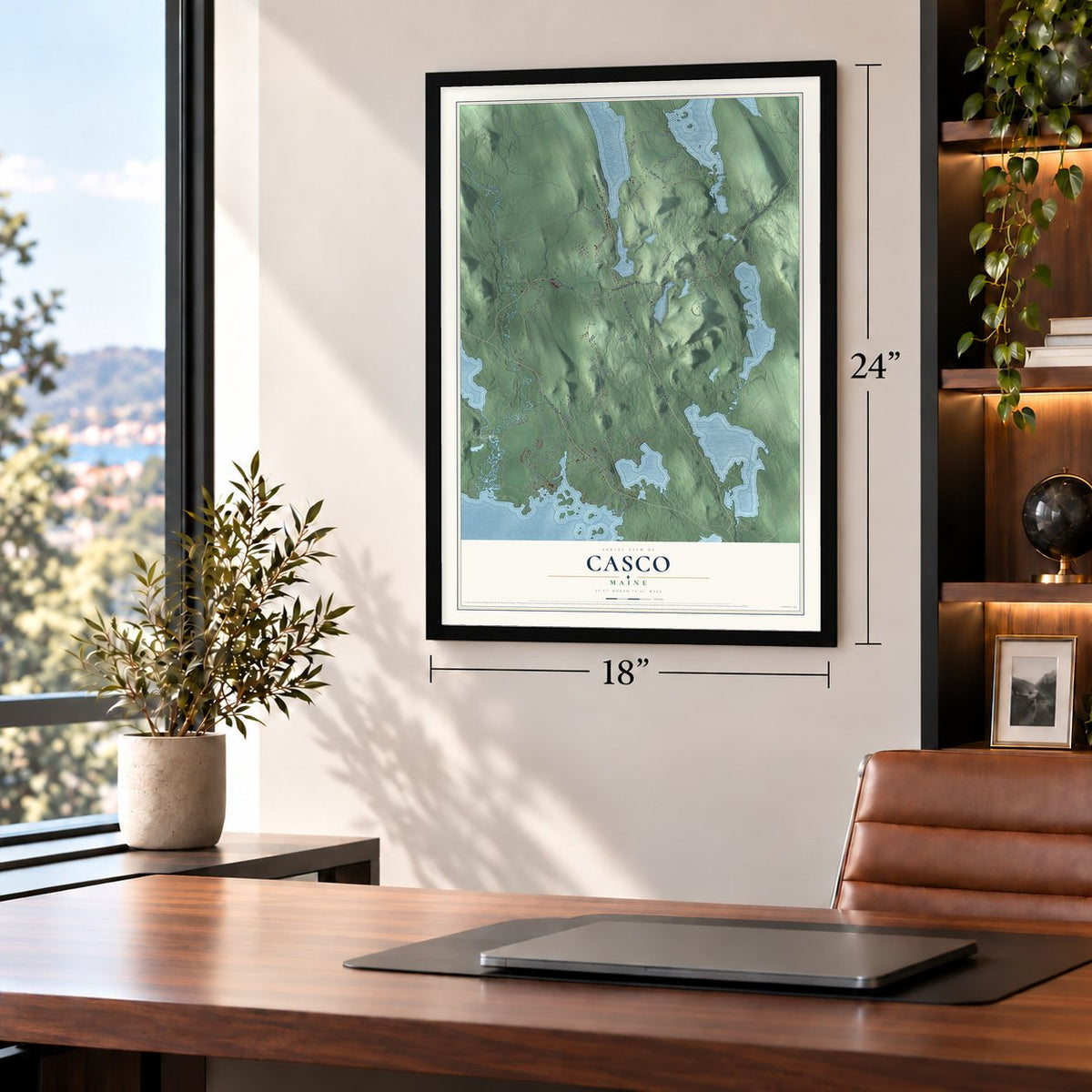
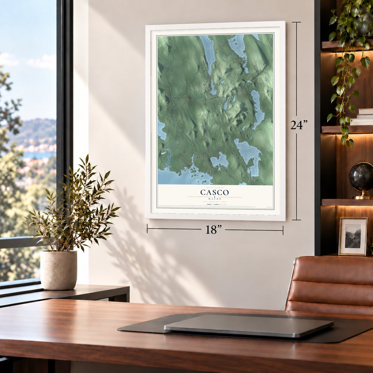
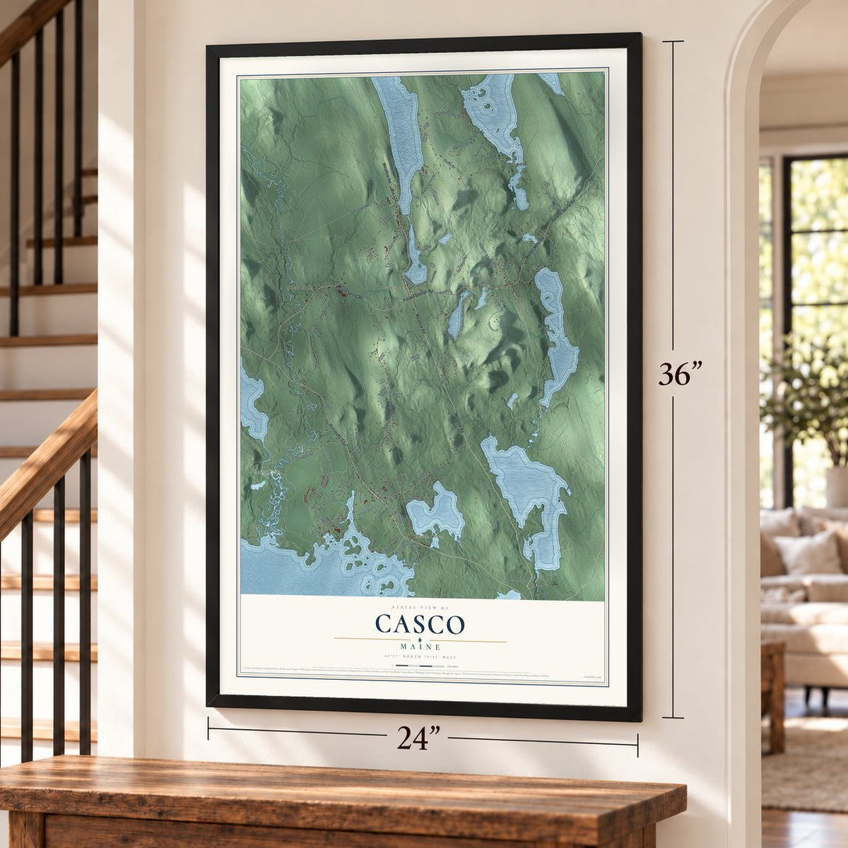
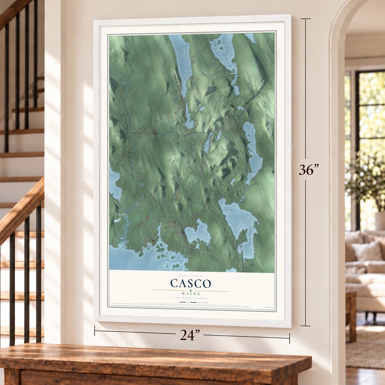
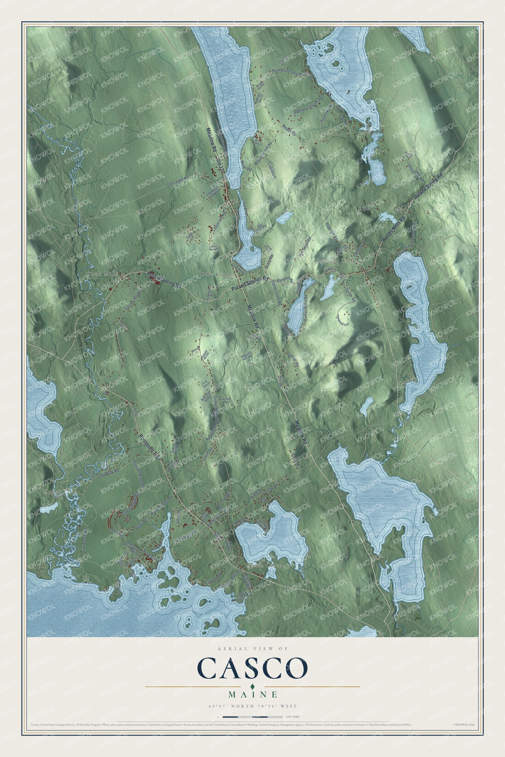
Casco, Maine Map Art
Building by building, with labeled streets and shaded relief.
12" x 18" Archival Matte Print
A Map of Home. A Work of Art.
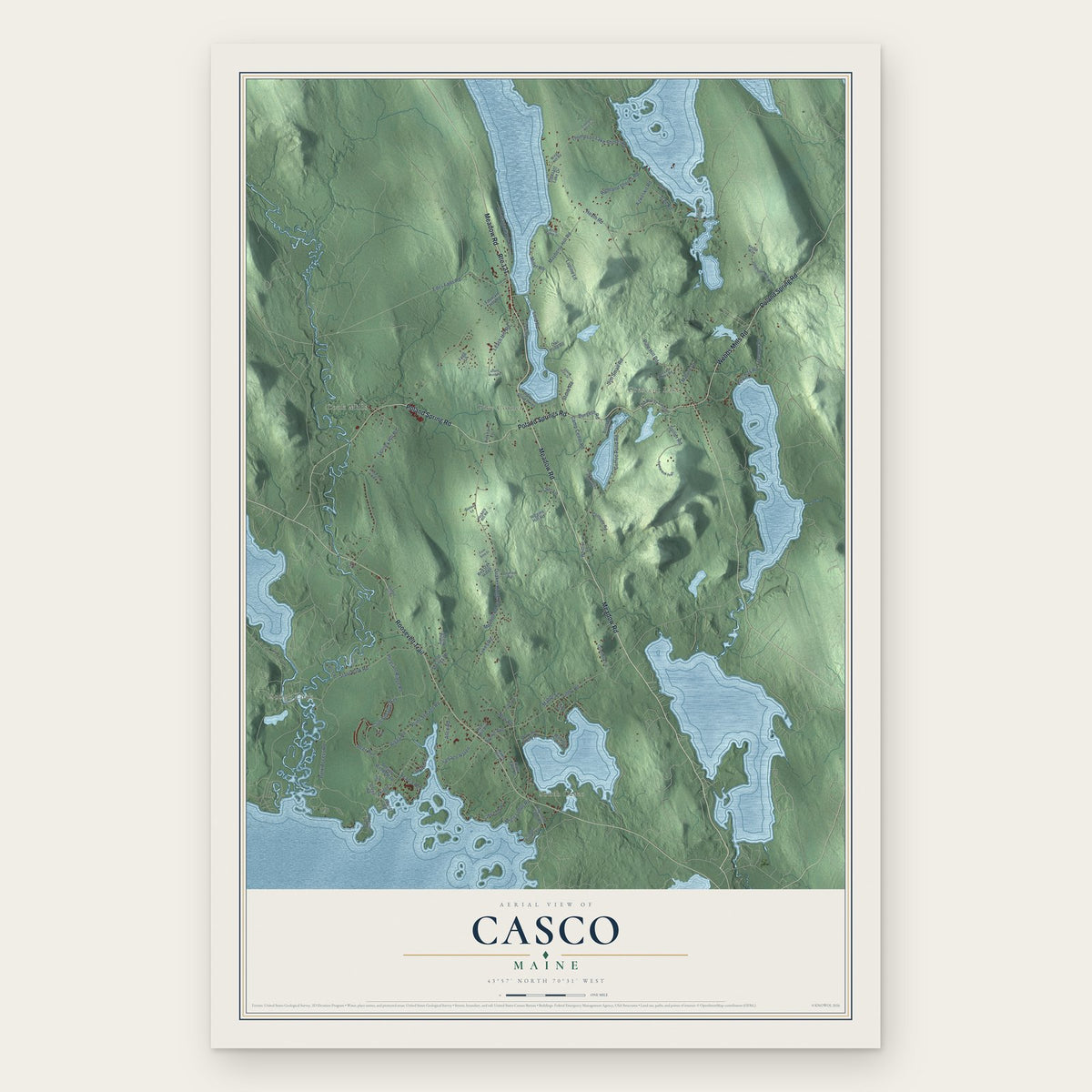
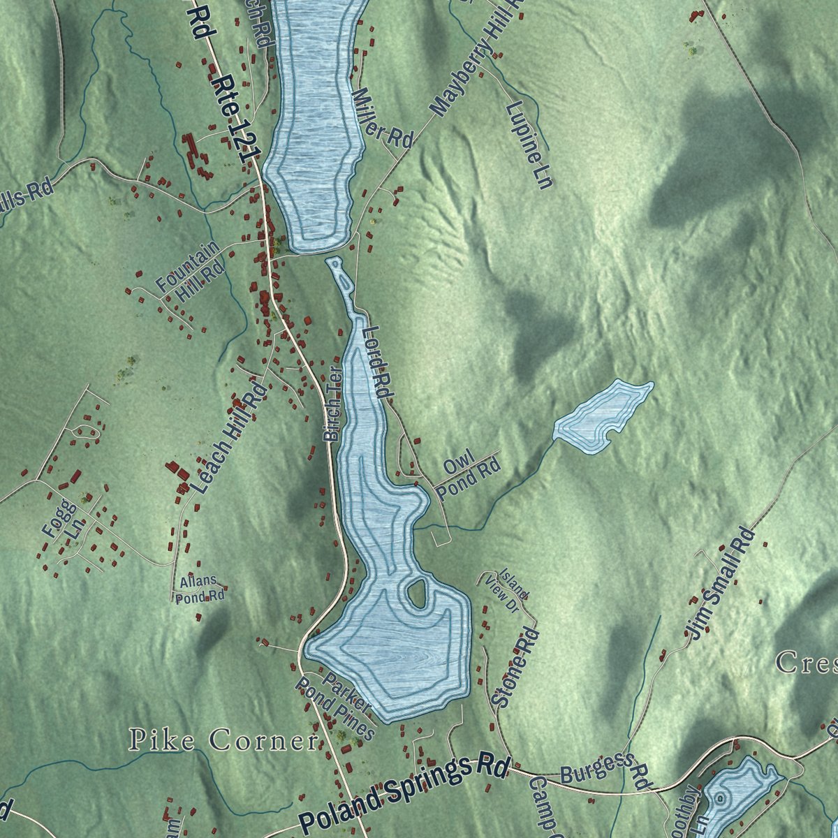
Explore Casco, Maine from a whole new perspective. Created using aerial imagery and detailed geographic data, this map captures Casco building by building, with labeled streets, familiar landmarks, and shaded topographical relief that highlights the natural contours of the landscape.
Combining modern data with the timeless character of a vintage atlas, this map is just as interesting up close as it is beautiful on the wall. Whether you grew up in Casco, spent memorable years there, or call it home today, this unique map is a great way to celebrate a place that means something to you. Zoom in on the preview to look for your street, and then order a print to put your memories on the wall.
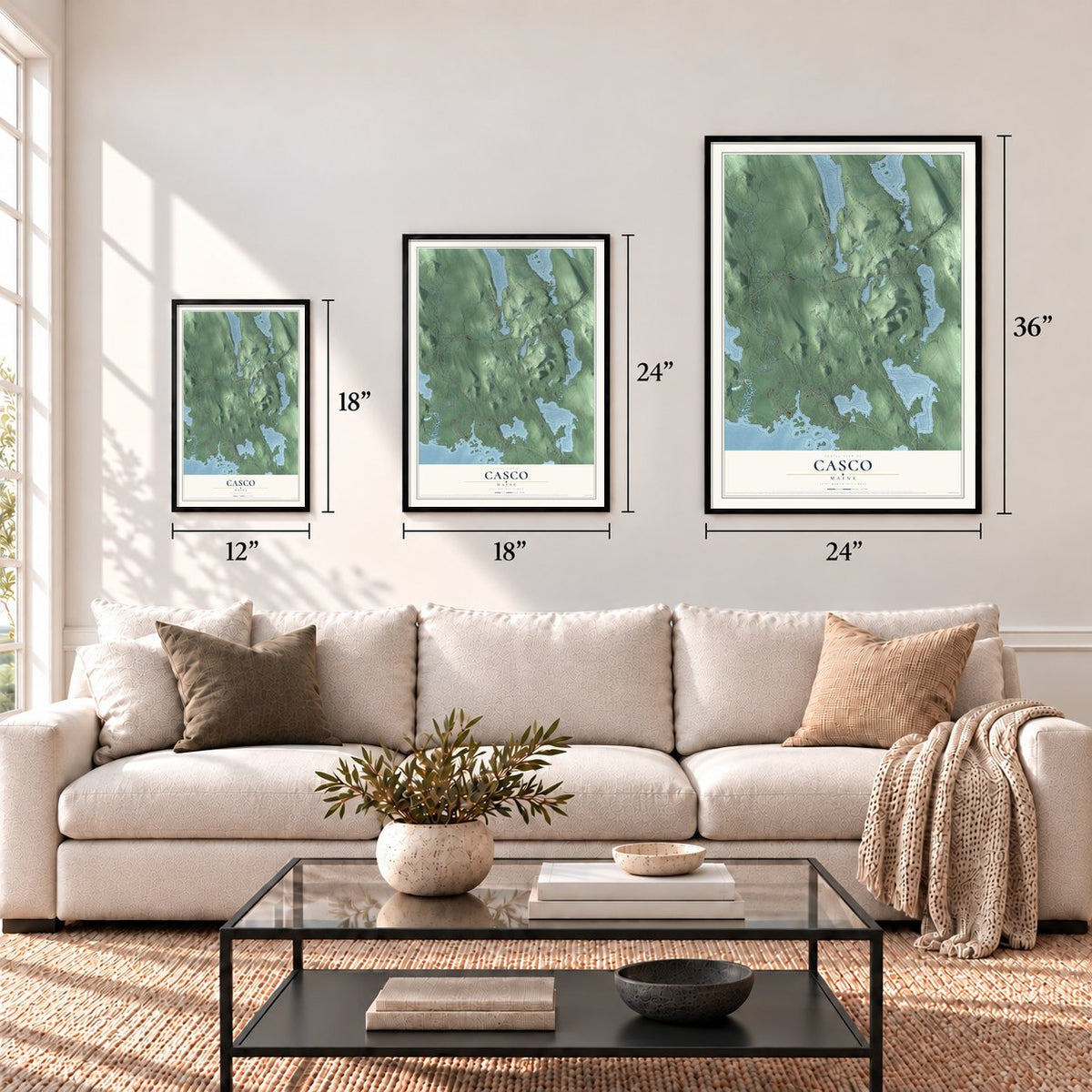
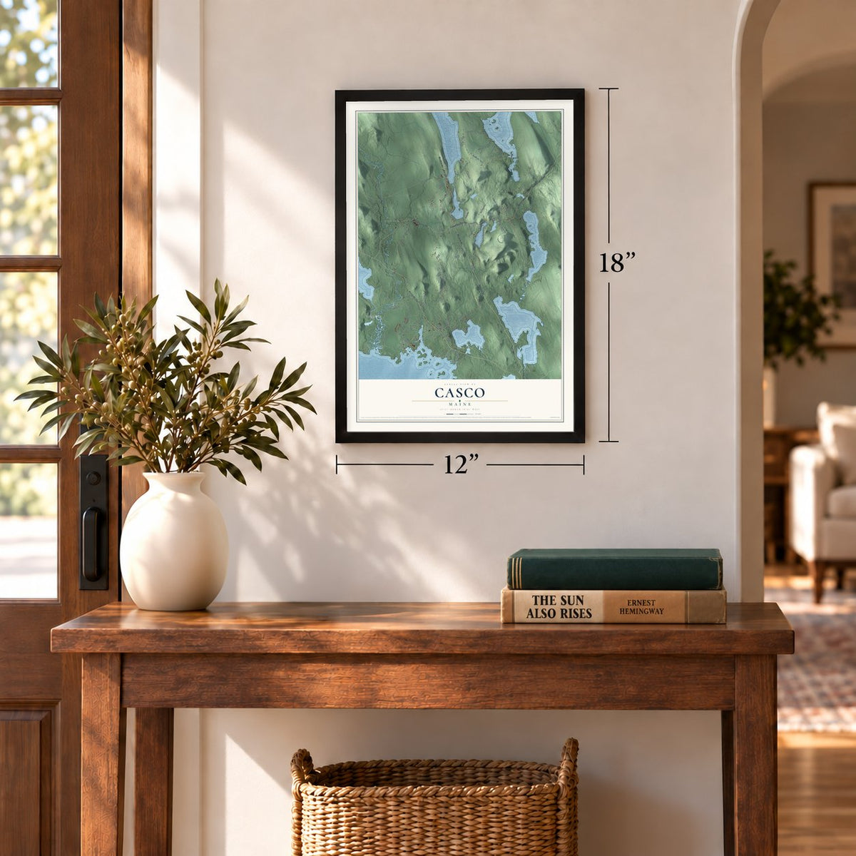
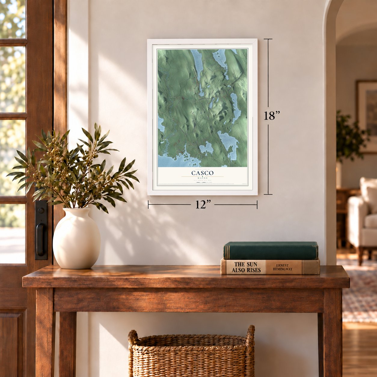
Three ways to hang it
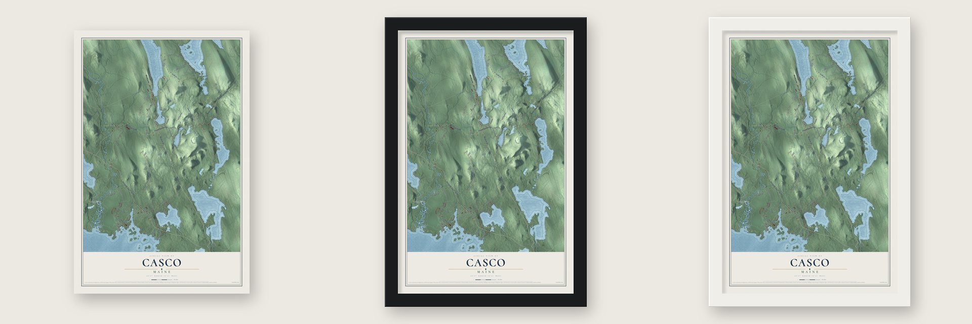
Unframed archival matte, a black wood frame or a white wood frame.
Up close
Geography Worth Displaying
This map was created using accurate cartographic data and authoritative geographic sources, including the U.S. Geological Survey (USGS) and FEMA. The map brings together terrain, waterways, roads, and building detail. The majority of the streets are labeled, houses are accurately depicted, and the topography is derived from government sources. Combining local data with carefully composed color and shading leads to this beautifully detailed Casco artwork for your wall.
Rather than simply showing street outlines, we’ve included as many of the street names as we could reasonably fit on the map while keeping their names legible. Zoom in on the high resolution preview to see exactly what’s on the map. We truly set out to create a statement piece for anyone who loves Casco. So whether it’s for you, or a gift for someone you love, we hope this map of Casco brings back fond memories.
Explore the full map of Casco, Maine and read about the local places it shows.
Find your street
Names on the Casco map
Every name below is printed on this map. Look for your street, your school, the park where you played, or the pond down the road.
Places and landmarks5
- Crescent Lake
- South Casco
- Songo Lock
- Cook Mills
- Pike Corner
Streets and roads104
- Meadow Road
- Poland Spring Road
- Roosevelt Trail
- Webbs Mills Road
- Poland Springs Road
- Route 121
- Quaker Ridge Road
- Mayberry Hill Road
- Leach Hill Road
- Tenney Hill Road
- State Park Road
- Heath Road
- Park Access Road
- Club Sebago Way
- Coffee Pond Road
- Libby Road
- Sebago Haven
- Point Sebago Road
- Thompson Lake Shores Road
- Pine Hill Road
- Edes Falls Road
- Lord Road
- Highland Shores Road
- Edwards Road
- Azwelikit Road
- Old Stagecoach Road
- Jim Small Road
- Deer Run
- Acadia Road
- Alice Road
Show all 104 streets
- Pleasant Ridge Road
- Spiller Road
- New Road
- Mitchell Road
- Riggs Road
- Migis Lodge Road
- Trail Road
- Camp Cedar Road
- Stone Road
- Lupine Lane
- Brown Avenue
- Burgess Road
- Freeman Road
- Lukes Road
- Miller Road
- Maturo Drive
- Maple Street
- Lilac Lane
- Raymond Cape Road
- Lakewood Road
- Johnson Hill Road
- Fountain Hill Road
- Sunny Hill Road
- Watkins Shores Road
- Sebago Woods Way
- Chippy's Lane
- Watkins Shore Road
- Whittier Lane
- Red Oak Ridge
- Cliffside Road
- Bear Island Road
- Overlook Lane
- Green Road
- Glen Drive
- Island Road
- Snow Lake Drive
- Cold Springs Road
- Pleasant Lake Drive
- Parker Pond Pines
- Old Route 11
- Higgins Hill Road
- Hams Hill Drive
- Birch Terrace
- Pinkham Lane
- Owl Pond Road
- Boothby Lane
- Oak Street
- Red Mill Road
- Fogg Lane
- Lower Coffee Pond Road
- Tamarack Trail
- Connell Acre Lane
- Lake Shore Drive
- Captain Dingley Road
- Fox Circle
- Hoop Camp Drive
- Welch Road
- Beraka Valley Road
- Hackers Hill Road
- Sunset Lane
- Windy Hill Road
- Graffem Road
- Keepa Way
- Cottage Road
- Island View Drive
- Farm View Drive
- O'Connor Road
- Rosewood Road
- Parsons Point Road
- Pavilion Road
- Allans Pond Road
- Bramble Hill Road
- Blue Road
- Skips Drive
Names are listed as they appear on the printed map. Zoom into the product photos to find them.
About Casco, Maine
Casco is a town of 3,646 people in Cumberland County, on the east shore of Sebago Lake. Its land first belonged to Raymondtown Plantation. On January 30, 1767, the Massachusetts General Court gave that plantation to Captain William Raymond of Beverly and his soldiers, who had fought under Sir William Phipps at Quebec in 1690. The grant replaced an earlier one from 1735, Beverly-Canada, which was thrown out in 1741 because the heirs of John Mason held an older claim. Raymondtown became the town of Raymond in 1803.
The western half of Raymond sat cut off behind Rattlesnake Mountain, so in 1838 its people asked the legislature to make them a separate township. The legislature refused, but the people tried again, and their second petition won Casco its incorporation as a town on March 18, 1841. The new town held its first town meeting in the Quaker meetinghouse on Quaker Ridge Road.
- Mills on the pond outletsFarmers found Casco's ground uneven and its soil hard and rocky, but the water flowing out of its ponds could turn mill wheels. Over time the town had a tannery, a carriage factory, a shook mill, a barrel stave mill, four sawmills, four gristmills and four shingle factories. The Cumberland and Oxford Canal, opened in 1832, linked Sebago Lake to trade with Portland, and from the 1840s steamboats carried freight and tourists across the lake.
- A Quaker meetinghouse of 1814The Friends Meetinghouse on Quaker Ridge Road was built in 1814 and is the oldest Quaker meeting house still standing in Maine. Following Quaker custom, a shuttered partition split the room so men and women sat on separate sides but could still speak across it. Regular services stopped in 1921, and the building has held summer services ever since.
- Hawthorne's uncle in South CascoAround 1795, Richard Manning of Salem, Massachusetts, probably built the Federal house that still stands on Raymond Cape Road in South Casco. Manning was the uncle of Nathaniel Hawthorne. The writer's widowed mother lived just across the line in Raymond, and the young Hawthorne likely came to visit.
- Carriages, then cabinsIn 1877 Sumner Watkins opened a carriage factory where Raymond Cape Road meets Route 302, and it kept running until 1907. In the 1920s Charley Watkins turned the property into a summer stop for people touring in the new automobiles, with an office and eight cabins for rent. Watkins Farm on Route 302 is now home to the museum of the Raymond-Casco Historical Society.
Keep exploring Maine
Casco is one of 536 Maine towns we've mapped. Every dot on the map is a print of its own.
The search covers every state, Maine first.
Near Casco
Order 2 or more town maps and save 10%. Shown in the size and finish you picked above, so they hang as a set.
- Raymond 12" x 18" / Archival Matte Print $39.99
- Naples 12" x 18" / Archival Matte Print $39.99
- Gray 12" x 18" / Archival Matte Print $39.99
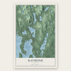
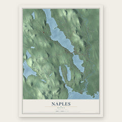
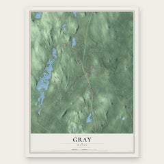
More maps nearby: Frye Island, Sebago, Poland, Otisfield and North Windham.
The art of mapping a place
How This Map Was Made
Real places. Remarkable detail. Discover the layers that turn geographic data into a map of home.

The view from above
Aerial imagery reveals the character of the land: woodland, open fields, and the patterns of a place.

The shape of the land
Elevation data brings hills, valleys, and subtle changes in the landscape into view.

The details of home
Roads, waterways, and building footprints come together to make the map feel unmistakably local.

Geography becomes art
Considered color, shading, and typography bring the layers together in a map made for your wall.


Process illustrated with Mendon, Massachusetts. Aerial imagery: USDA NAIP. Terrain: USGS 3D Elevation Program. Map details and finished artwork: KNOWOL.
The Details
About This Print
Choose an archival matte print, or a black or white Ayous wood frame. The archival matte print is unframed.
Select your size and finish above to see the matching product image and price.
Materials & Craftsmanship
A contemporary map with the character of a classic atlas, printed on archival matte paper. Optional frames are made from Ayous wood.
Your printed map does not include the watermark shown in the full-map preview.
Shipping & Delivery
Free shipping within the United States. Every print is made to order in the USA.
Buying a gift? Add a note in your cart and we'll include it. We never put prices in the package.
Prints ship within 2 to 3 business days. Allow 7 to 10 days total from ordering for delivery. Timing may vary during holidays or periods of high order volume.
Read our shipping policy.
Returns and damaged prints
Each print is made to order. Change-of-mind refunds are not available after production.
If your print arrives damaged, misprinted or incorrect, contact support@knowol.com within 30 days of receiving it. Include your order number, photos and a description of the issue.
Read our full refund and replacement policy. For questions about your order, email support@knowol.com.