
Search for another town


Free U.S. delivery 7 to 10 days after you order
Poland, Maine Map Art
Building by building, with labeled streets and shaded relief.
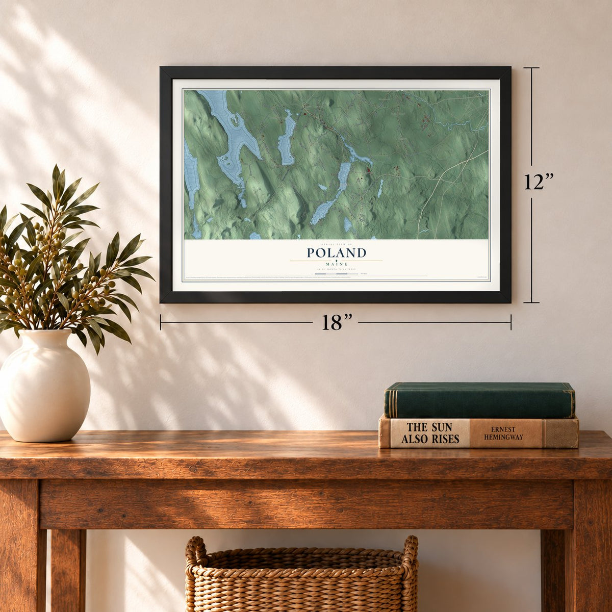
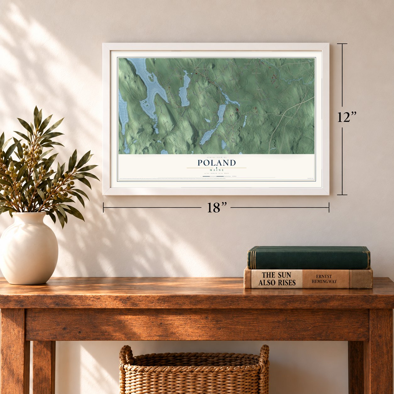
12" x 18" Archival Matte Print
A Map of Home. A Work of Art.
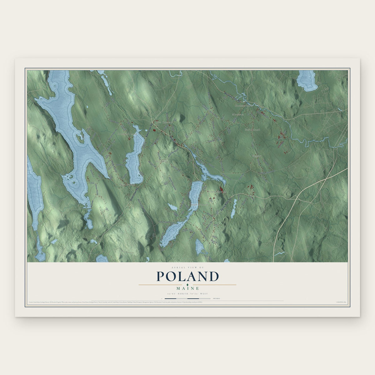
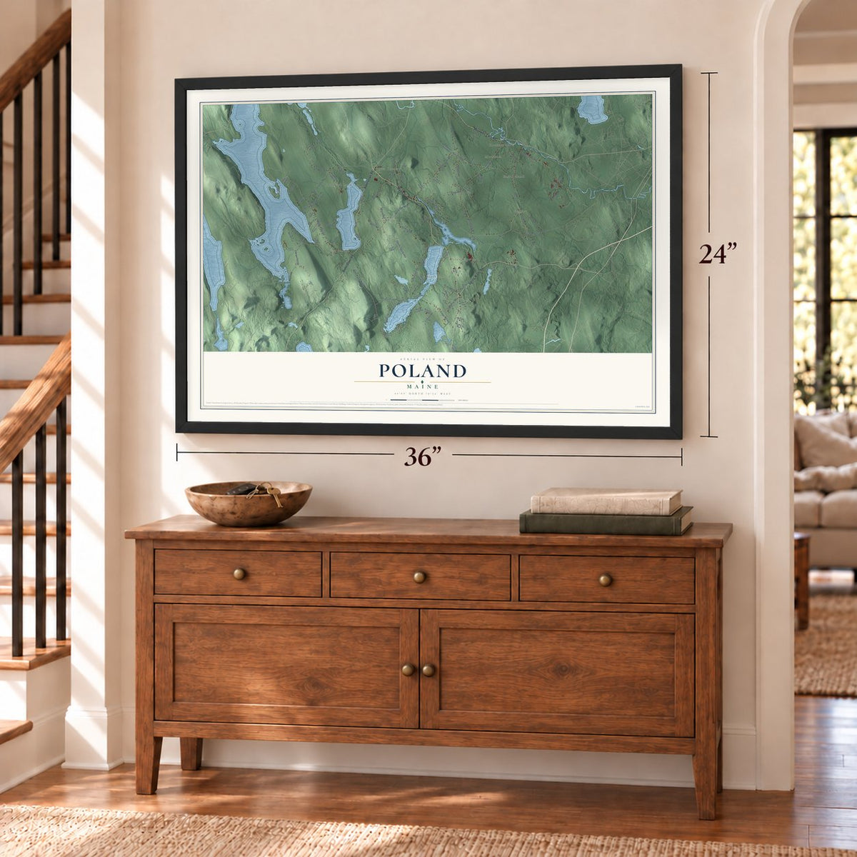
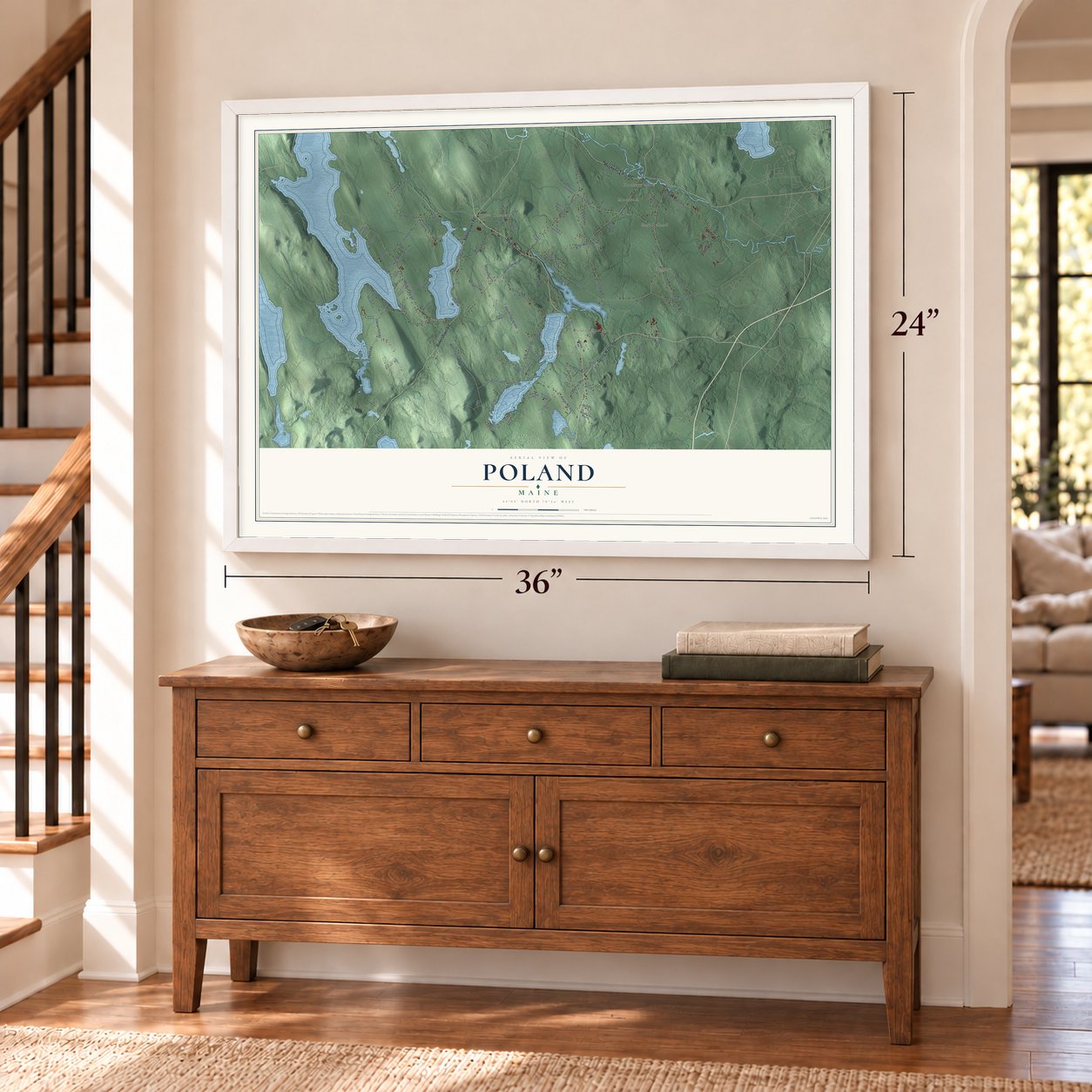
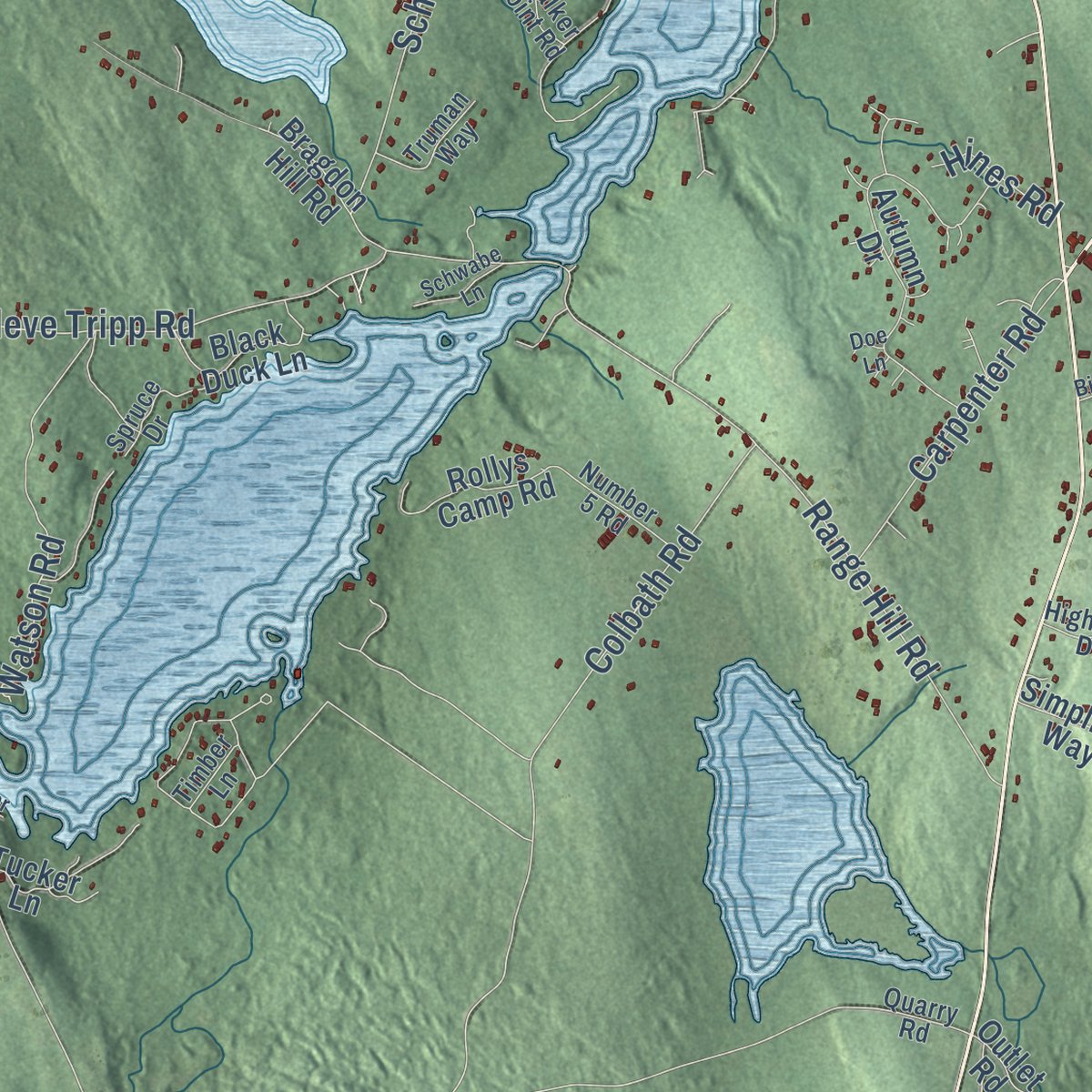
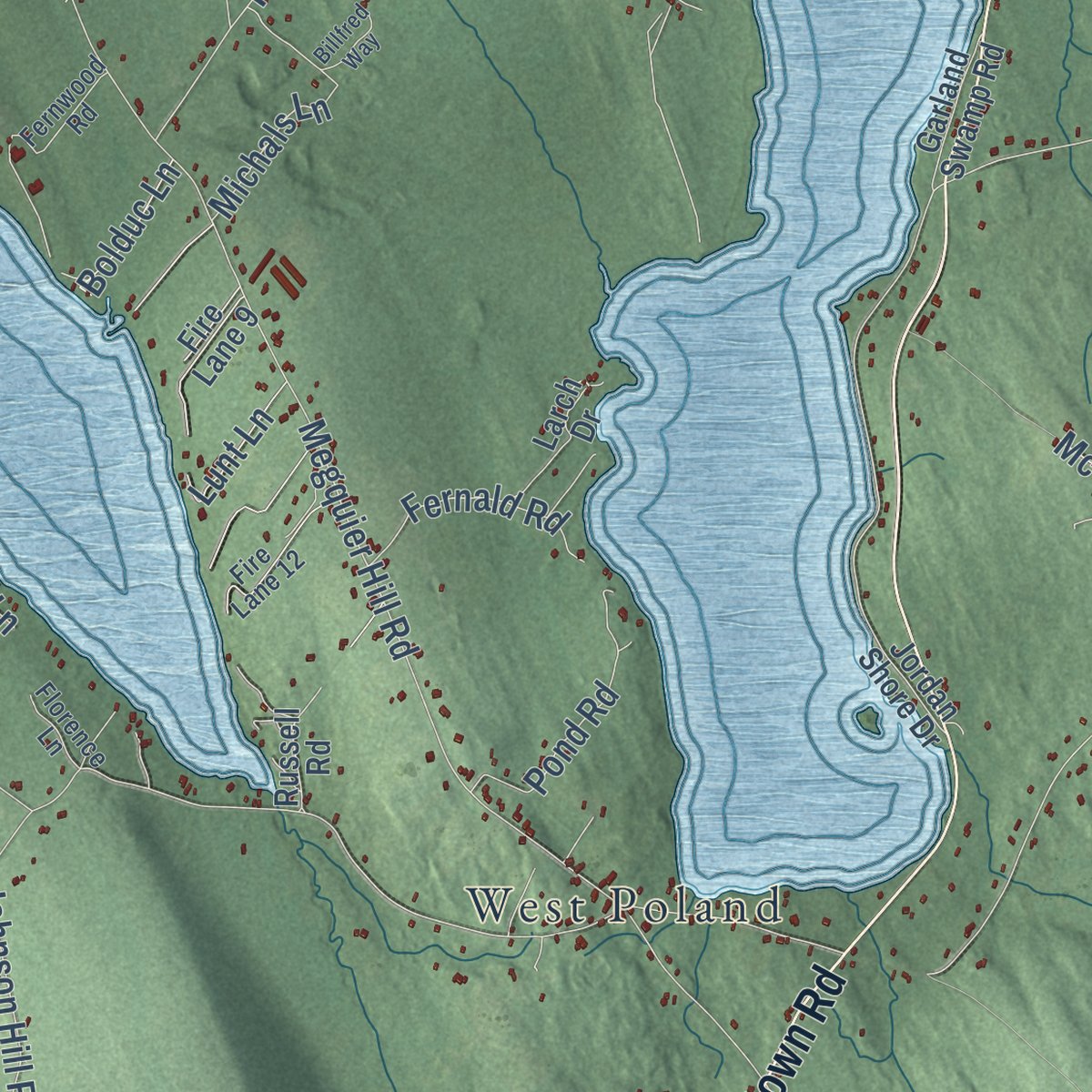
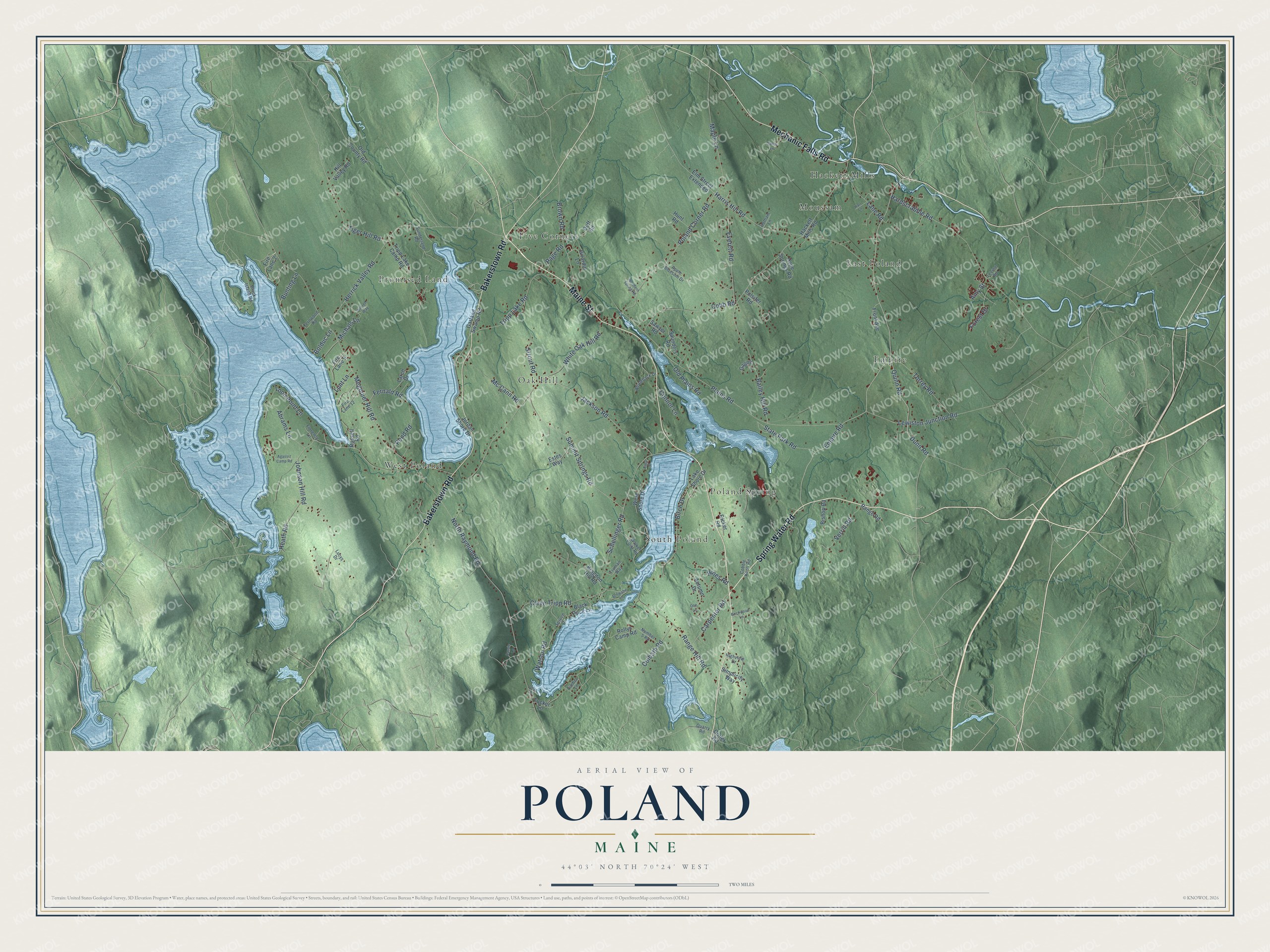
Explore Poland, Maine from a whole new perspective. Created using aerial imagery and detailed geographic data, this map captures Poland building by building, with labeled streets, familiar landmarks, and shaded topographical relief that highlights the natural contours of the landscape.
Combining modern data with the timeless character of a vintage atlas, this map is just as interesting up close as it is beautiful on the wall. Whether you grew up in Poland, spent memorable years there, or call it home today, this unique map is a great way to celebrate a place that means something to you. Zoom in on the preview to look for your street, and then order a print to put your memories on the wall.
Three ways to hang it
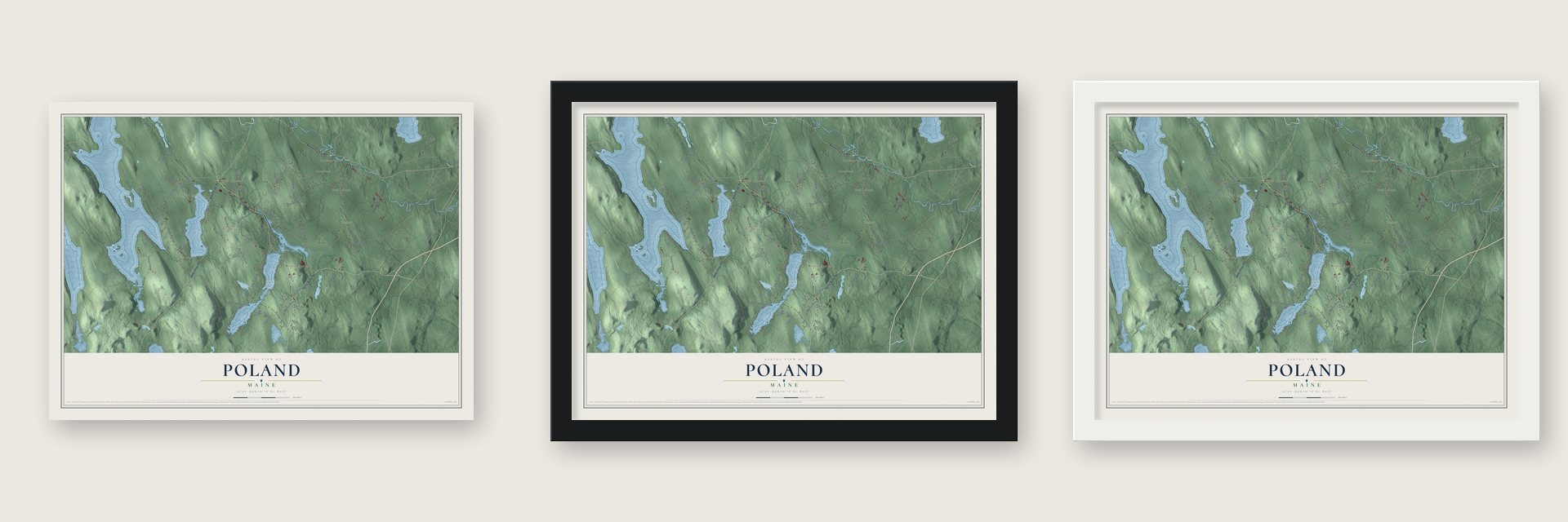
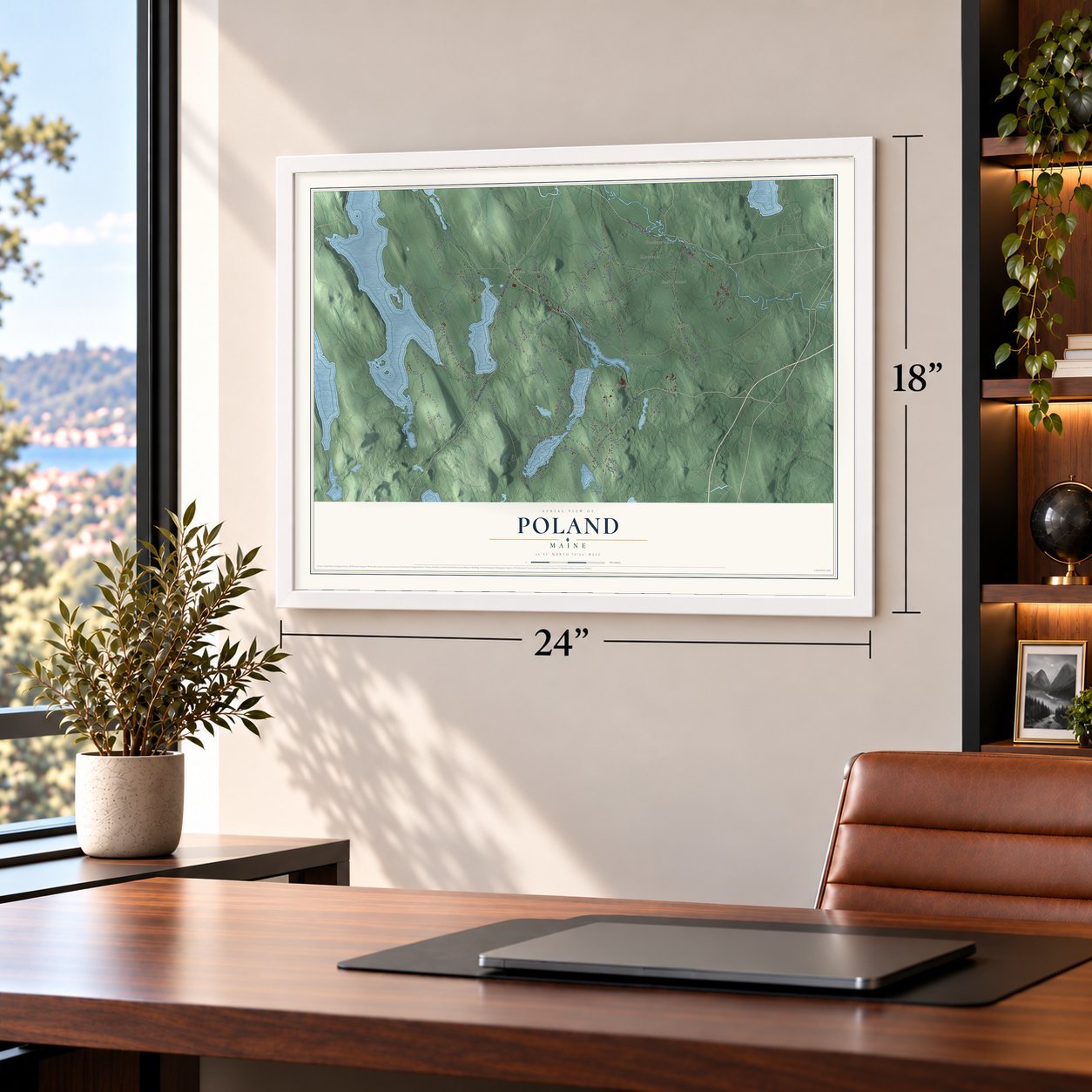
Unframed archival matte, a black wood frame or a white wood frame.
Up close
Geography Worth Displaying
This map was created using accurate cartographic data and authoritative geographic sources, including the U.S. Geological Survey (USGS) and FEMA. The map brings together terrain, waterways, roads, and building detail. The majority of the streets are labeled, houses are accurately depicted, and the topography is derived from government sources. Combining local data with carefully composed color and shading leads to this beautifully detailed Poland artwork for your wall.
Rather than simply showing street outlines, we’ve included as many of the street names as we could reasonably fit on the map while keeping their names legible. Zoom in on the high resolution preview to see exactly what’s on the map. We truly set out to create a statement piece for anyone who loves Poland. So whether it’s for you, or a gift for someone you love, we hope this map of Poland brings back fond memories.
Explore the full map of Poland, Maine and read about the local places it shows.
Find your street
Names on the Poland map
Every name below is printed on this map. Look for your street, your school, the park where you played, or the pond down the road.
Places and landmarks10
- Five Corners
- Hackett Mills
- West Poland
- Poland Spring
- Empire
- Oak Hill
- Promised Land
- East Poland
- Moussam
- South Poland
Streets and roads116
- Maine Street
- Spring Water Road
- Bakerstown Road
- Mechanic Falls Road
- Page Road
- Bailey Hill Road
- Empire Road
- Dunn Road
- Megquier Hill Road
- North Raymond Road
- Johnson Hill Road
- Plains Road
- White Oak Hill Road
- Hardscrabble Road
- Harris Hill Road
- Schellinger Road
- Poland Corner Road
- Range Hill Road
- Summit Springs Road
- Herrick Valley Road
- Jackson Road
- Tripp Lake Road
- Cleve Tripp Road
- Cobb Road
- Quinn Road
- Tiger Hill Road
- Everett Road
- Brown Road
- Lewiston Junction Road
- Birch Drive
Show all 116 streets
- Torrey Road
- Maple Lane
- Watson Road
- Colbath Road
- Loon Point Lane
- State Park Road
- Carpenter Road
- Abrams Lane
- Lane Road
- Pond Road
- Heath Road
- Verrill Road
- Strout Road
- Fernald Road
- Old Plains Road
- Bunting Lane
- Mc Cann Road
- Michals Lane
- Connor Lane
- Forest Drive
- Lunt Lane
- Bolduc Lane
- Hines Road
- Amy Street
- Tripp Lake Camp Road
- Jordan Shore Drive
- Autumn Drive
- Hackett Mills Road
- Saunders Road
- Elm Street Extended
- Hope Springs Road
- Duff Road
- Simplicity Way
- Pulsifer Road
- Russell Road
- Larch Drive
- West Shore Drive
- Old County Road
- Rollys Camp Road
- Ricker Road
- Girardin Lane
- Black Duck Lane
- Front Avenue
- Garland Swamp Road
- Estes Way
- Fire Lane 9
- Hill Valley Road
- Fire Lane 2
- Range Road
- Lake Shore Drive
- Bishop Road
- Hunt Road
- Tucker Lane
- Bragdon Hill Road
- Outlet Road
- Gagne
- Sawyer Road
- Sunderland Road
- Fernwood Road
- Black Island Road
- Fire Lane 12
- Walker Point Road
- Apple Blossom Drive
- Number 5 Road
- Florence Lane
- Highview Drive
- Whaleback Drive
- Truman Way
- Spruce Drive
- Quarry Road
- Cobble Knoll Road
- Hotham Lane
- Levine Road
- Timber Lane
- Lucys Drive
- Billfred Way
- Cassie Lane
- Agassiz Camp Road
- Sandy Lane
- Birchwood Lane
- Northern Spring Road
- Schwabe Lane
- Hart Lane
- Easy Street
- Otter Lane
- Doe Lane
Names are listed as they appear on the printed map. Zoom into the product photos to find them.
About Poland, Maine
Poland is a town of 5,906 people in Androscoggin County. In 1765 the Massachusetts General Court gave this land to officers and soldiers who had fought under Sir William Phips at Quebec in 1690. It replaced an earlier grant from 1736, also called Bakerstown, which was ruled invalid in 1741 when New Hampshire split from Massachusetts. The new plantation, named for Captain Thomas Baker, took in today's Poland, Minot, Mechanic Falls and most of Auburn. Nathaniel Bailey and Daniel Lane settled it in 1767, and it was incorporated as Poland on February 17, 1795.
Poland began as a farming town. Shakers from Gorham founded the North Family village at Poland Hill in 1819 and farmed 600 acres of the best land until the village closed in 1887. Water power then drew industry, and by 1859 the town of 2,660 people kept a tannery, a carriage factory, a gristmill and four sawmills running. The St. Lawrence and Atlantic Railroad crossed the northeast corner and brought tourists to the ponds and hills, so by 1893, when Mechanic Falls broke off as its own town, Poland had become a Gilded Age resort.
- Named for a songPoland takes its name from an "ancient melody" called Poland. One historian offers another story: a Sokoki chief named Polan lived in the area before the town was founded.
- Hiram Ricker's springJabez Ricker got his South Poland homestead in a 1794 land swap with the Shakers of Alfred, and the Wentworth Ricker Inn opened there in 1797. When trains replaced stagecoaches, guests stopped coming and it closed. His grandson Hiram claimed the family's mineral spring, flowing 8 gallons a minute, had cured his dyspepsia. Visitors came for the water, and the inn reopened in 1861, grew and became The Mansion House. BlueTriton Brands still bottles the water as Poland Spring.
- Ricker's folly on the hillWhen the crowds outgrew The Mansion House, the Rickers started a huge new hotel in 1875 that doubters called "Ricker's folly." The Poland Spring House opened on July 4, 1876, on Ricker's Hill, 800 feet up, facing the White Mountains. It held 450 guests and kept guards at its gates to turn sightseers away. Its guests included Joan Crawford, Jimmy Durante, Sen. James G. Blaine and Gen. Benjamin Butler.
- The hotel's last yearsThe Poland Spring House declined after World War II. In 1963 Apollo Industries bought it to house the largest Women's Job Corps center in the nation. The center left in 1969, and on July 3, 1975, fire destroyed the building.
- Route 66 came to townTwo episodes of the television series Route 66 were filmed in Poland in 1963. Lon Chaney Jr. starred in "Come Out, Come Out, Wherever You Are," and Joan Crawford, Tom Bosley and Patrick O'Neal appeared in "Same Picture, Different Frame."
Keep exploring Maine
Poland is one of 536 Maine towns we've mapped. Every dot on the map is a print of its own.
The search covers every state, Maine first.
Near Poland
Order 2 or more town maps and save 10%. Shown in the size and finish you picked above, so they hang as a set.
- Mechanic Falls 12" x 18" / Archival Matte Print $39.99
- Minot 12" x 18" / Archival Matte Print $39.99
- Oxford 12" x 18" / Archival Matte Print $39.99
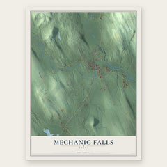
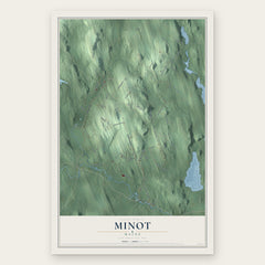
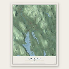
More maps nearby: Auburn, New Gloucester, Otisfield, Casco and Raymond.
The art of mapping a place
How This Map Was Made
Real places. Remarkable detail. Discover the layers that turn geographic data into a map of home.

The view from above
Aerial imagery reveals the character of the land: woodland, open fields, and the patterns of a place.

The shape of the land
Elevation data brings hills, valleys, and subtle changes in the landscape into view.

The details of home
Roads, waterways, and building footprints come together to make the map feel unmistakably local.

Geography becomes art
Considered color, shading, and typography bring the layers together in a map made for your wall.


Process illustrated with Mendon, Massachusetts. Aerial imagery: USDA NAIP. Terrain: USGS 3D Elevation Program. Map details and finished artwork: KNOWOL.
The Details
About This Print
Choose an archival matte print, or a black or white Ayous wood frame. The archival matte print is unframed.
Select your size and finish above to see the matching product image and price.
Materials & Craftsmanship
A contemporary map with the character of a classic atlas, printed on archival matte paper. Optional frames are made from Ayous wood.
Your printed map does not include the watermark shown in the full-map preview.
Shipping & Delivery
Free shipping within the United States. Every print is made to order in the USA.
Buying a gift? Add a note in your cart and we'll include it. We never put prices in the package.
Prints ship within 2 to 3 business days. Allow 7 to 10 days total from ordering for delivery. Timing may vary during holidays or periods of high order volume.
Read our shipping policy.
Returns and damaged prints
Each print is made to order. Change-of-mind refunds are not available after production.
If your print arrives damaged, misprinted or incorrect, contact support@knowol.com within 30 days of receiving it. Include your order number, photos and a description of the issue.
Read our full refund and replacement policy. For questions about your order, email support@knowol.com.