
Search for another town
Free U.S. delivery 7 to 10 days after you order
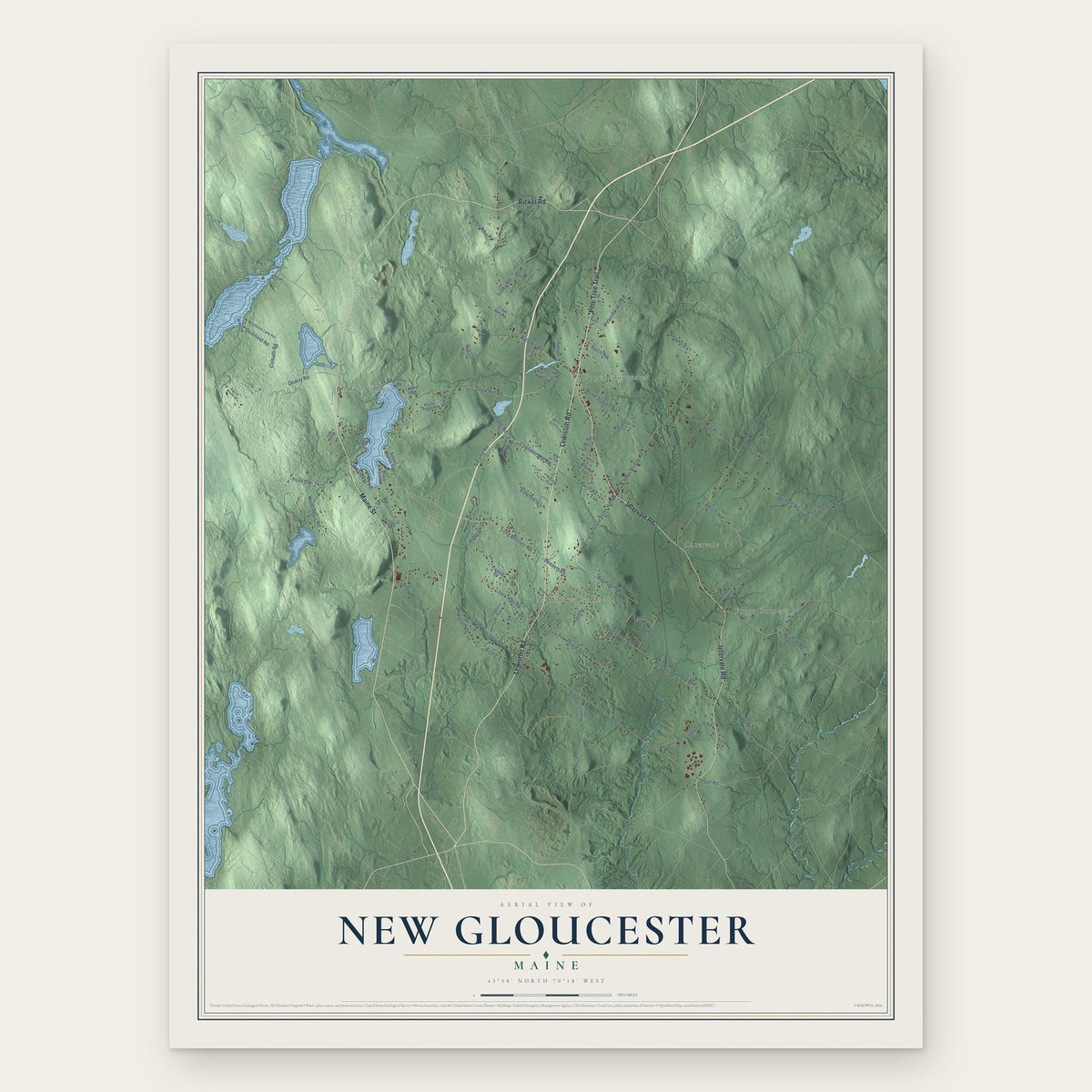
New Gloucester, Maine Map Art
Building by building, with labeled streets and shaded relief.
12" x 18" Archival Matte Print
A Map of Home. A Work of Art.
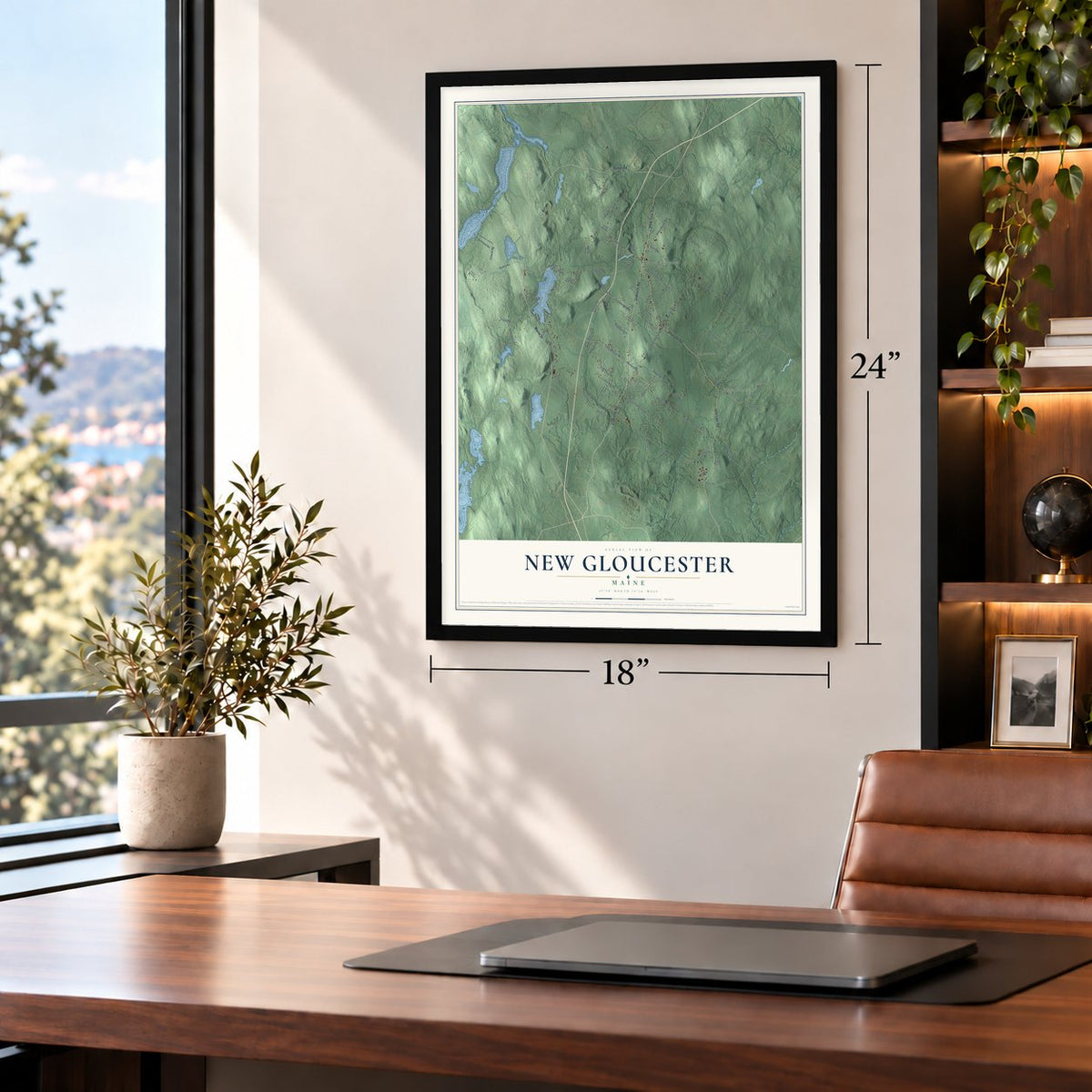
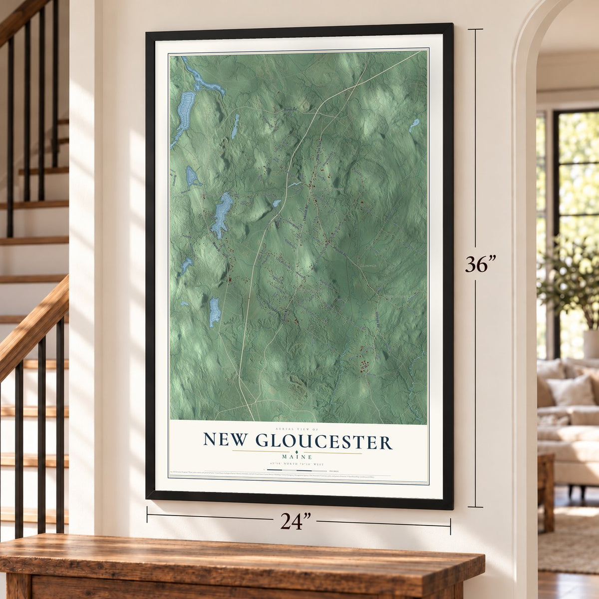
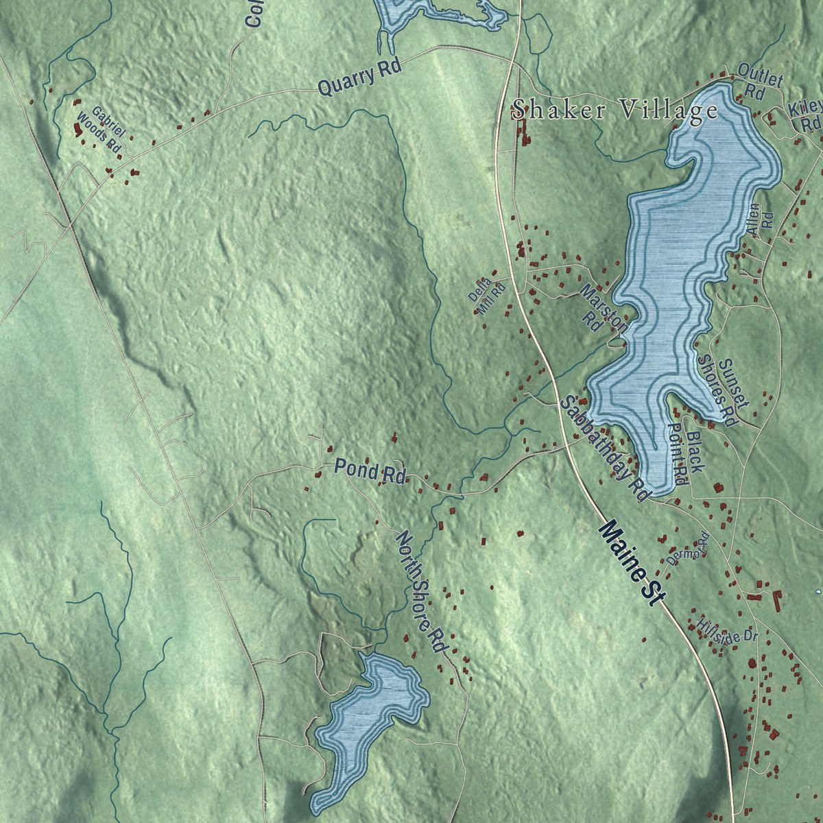
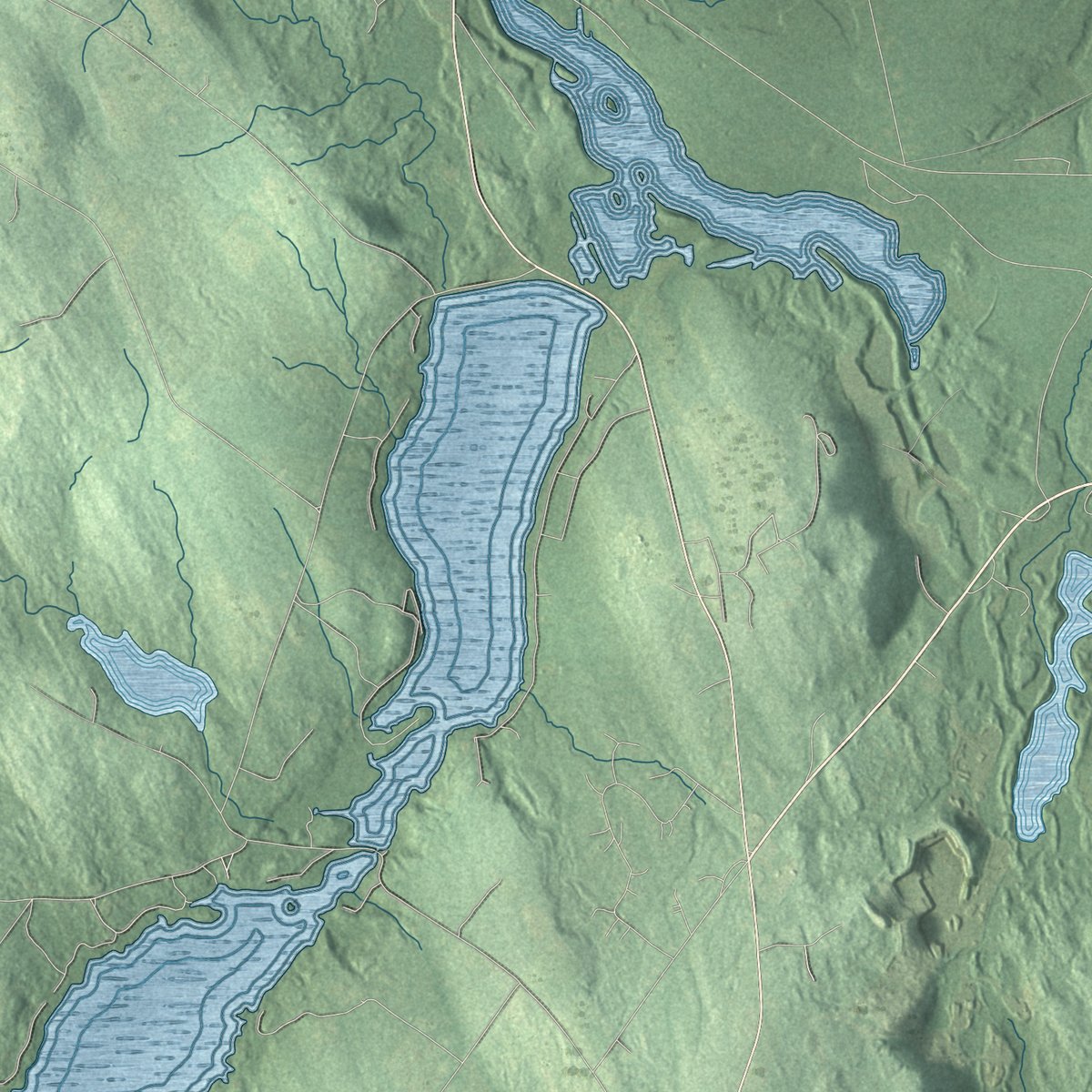
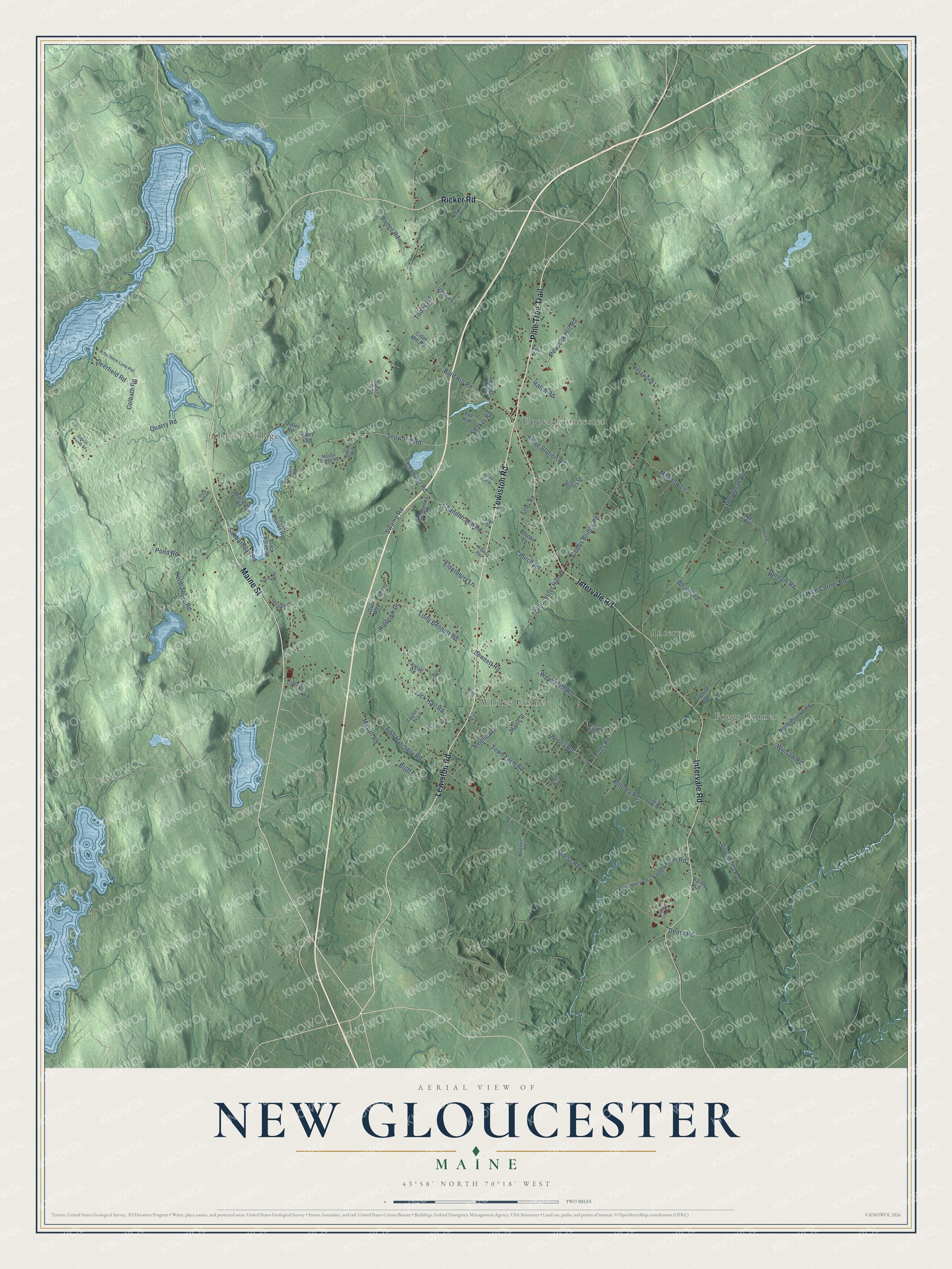
Explore New Gloucester, Maine from a whole new perspective. Created using aerial imagery and detailed geographic data, this map captures New Gloucester building by building, with labeled streets, familiar landmarks, and shaded topographical relief that highlights the natural contours of the landscape.
Combining modern data with the timeless character of a vintage atlas, this map is just as interesting up close as it is beautiful on the wall. Whether you grew up in New Gloucester, spent memorable years there, or call it home today, this unique map is a great way to celebrate a place that means something to you. Zoom in on the preview to look for your street, and then order a print to put your memories on the wall.
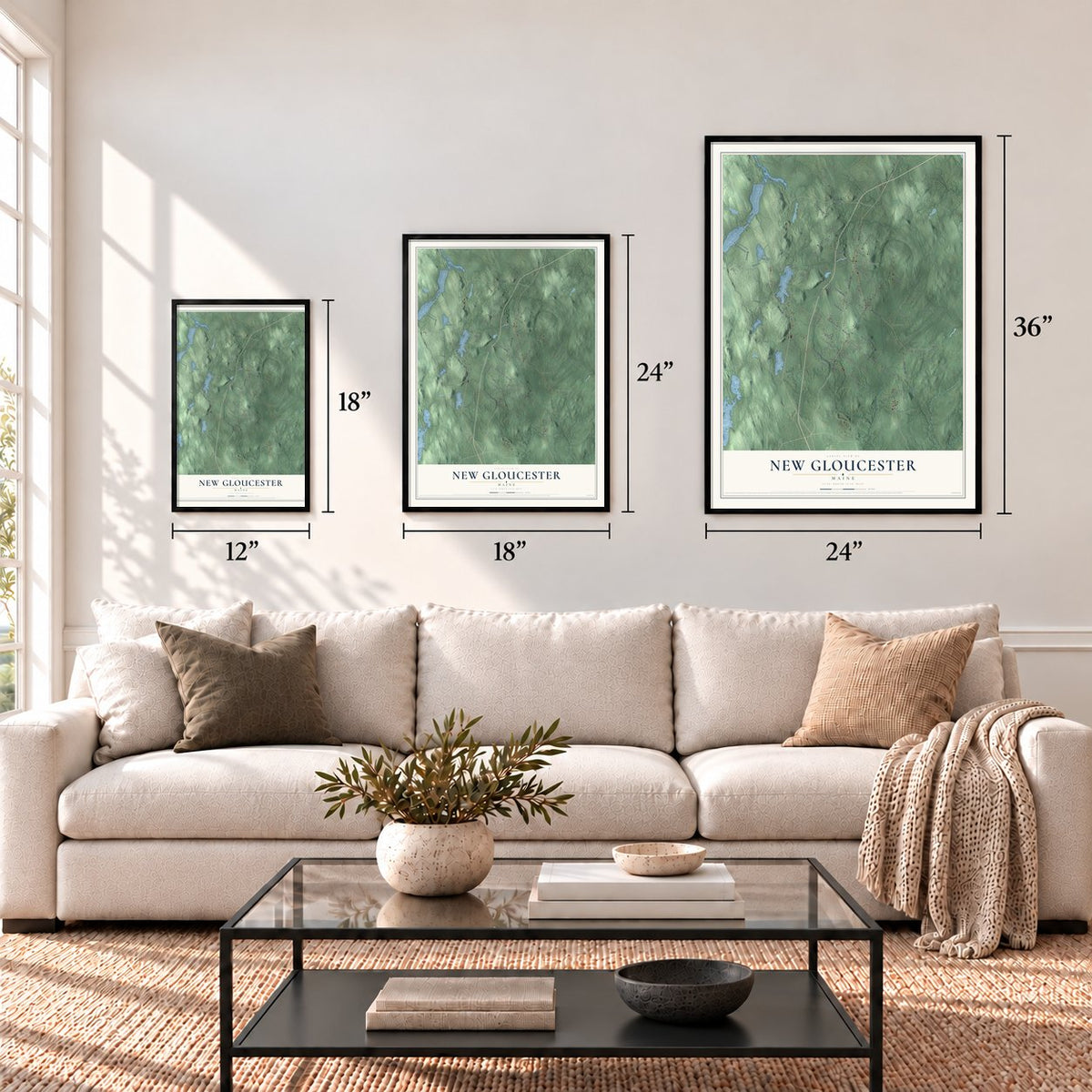
Three ways to hang it
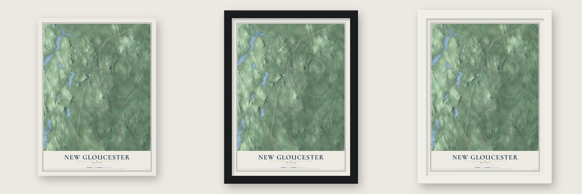
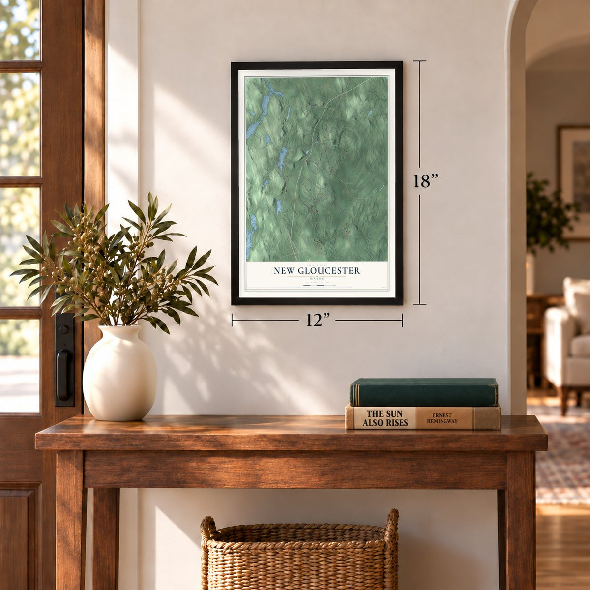
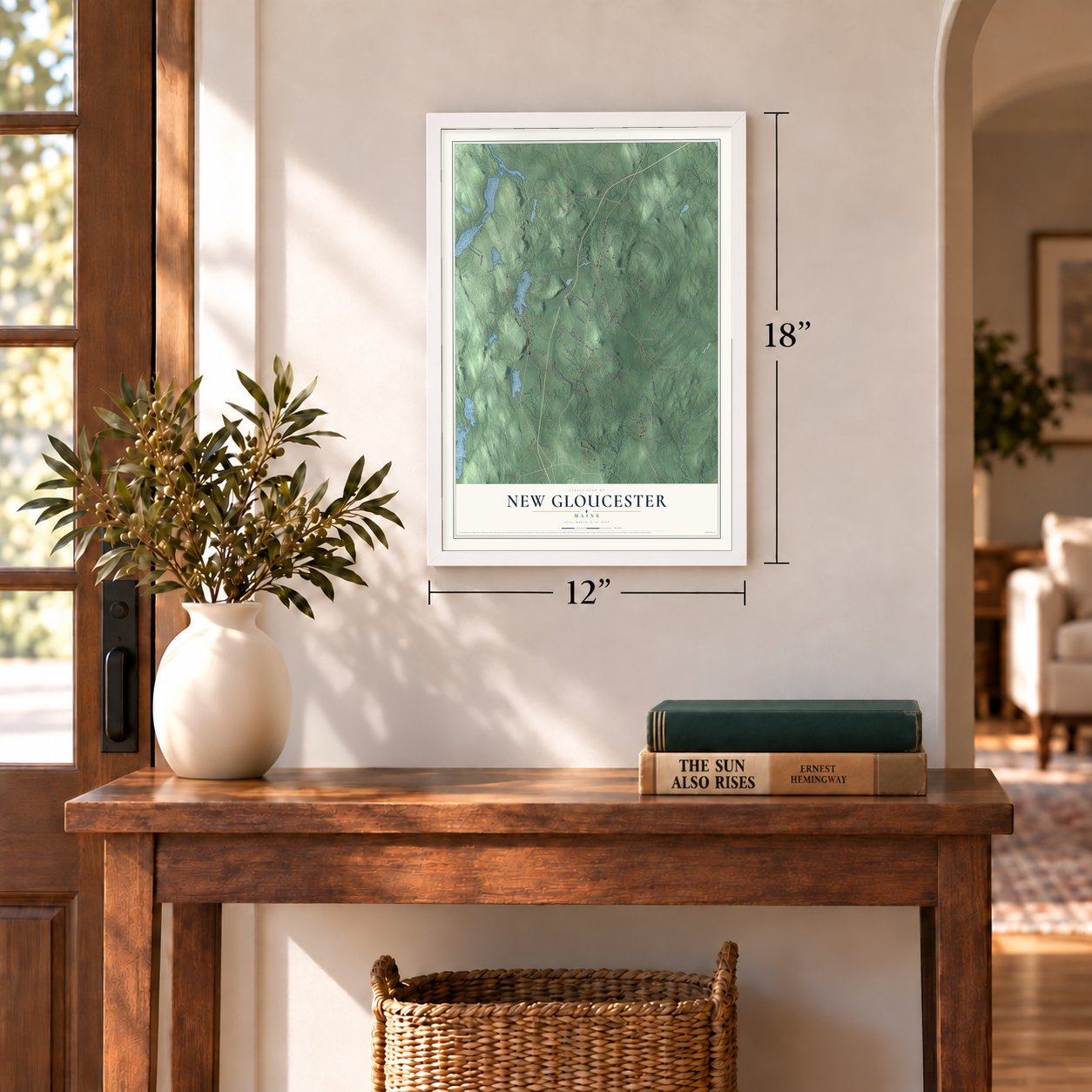
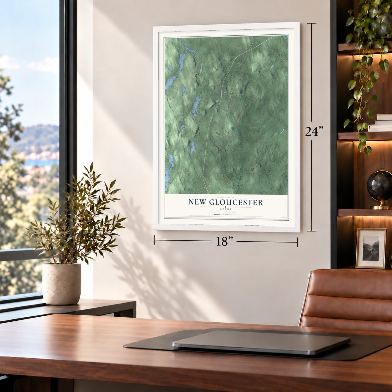
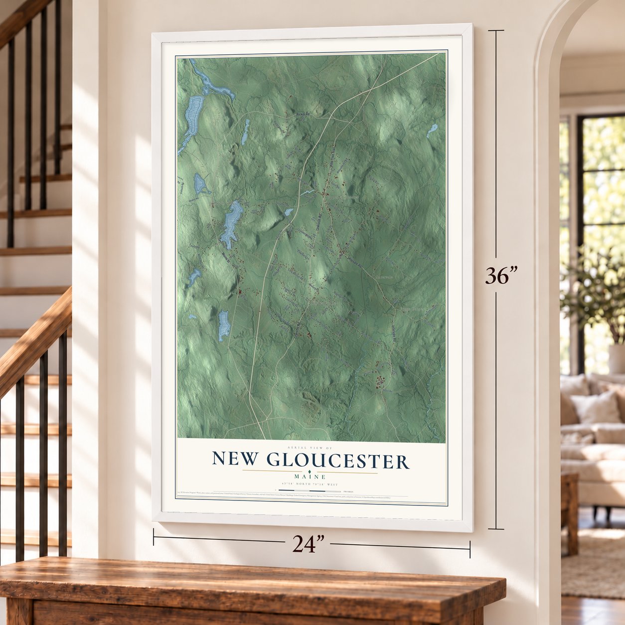
Unframed archival matte, a black wood frame or a white wood frame.
Up close
Geography Worth Displaying
This map was created using accurate cartographic data and authoritative geographic sources, including the U.S. Geological Survey (USGS) and FEMA. The map brings together terrain, waterways, roads, and building detail. The majority of the streets are labeled, houses are accurately depicted, and the topography is derived from government sources. Combining local data with carefully composed color and shading leads to this beautifully detailed New Gloucester artwork for your wall.
Rather than simply showing street outlines, we’ve included as many of the street names as we could reasonably fit on the map while keeping their names legible. Zoom in on the high resolution preview to see exactly what’s on the map. We truly set out to create a statement piece for anyone who loves New Gloucester. So whether it’s for you, or a gift for someone you love, we hope this map of New Gloucester brings back fond memories.
Explore the full map of New Gloucester, Maine and read about the local places it shows.
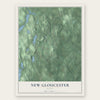
Find your street
Names on the New Gloucester map
Every name below is printed on this map. Look for your street, your school, the park where you played, or the pond down the road.
Places and landmarks5
- Intervale
- Shaker Village
- Whites Corner
- Upper Gloucester
- Foggs Corner
Streets and roads100
- Maine Street
- Ricker Road
- Intervale Road
- Lewiston Road
- Pine Tree Trail
- Morse Road
- Bald Hill Road
- Depot Road
- Quarry Road
- Peacock Hill Road
- Tufts Road
- Wharff Road
- Weymouth Road
- Snow Hill Road
- Penney Road
- Bennett Road
- Tobey Road
- Cobbs Bridge Road
- Durham Road
- Shaker Road
- Woodman Road
- Mayall Road
- Penny Road
- Sabbathday Road
- Gloucester Hill Road
- Chandler Mill Road
- Chandler Road
- Swamp Road
- Fish Hatchery Road
- Town Farm Road
Show all 100 streets
- Long Bennett Road
- Rowe Station Road
- Meadow Lane
- Pond Road
- North Shore Road
- Valley Farm Road
- Hatch Road
- Jack Hall Road
- Church Road
- Dougherty Road
- Colbath Road
- Bluff Circle
- Deerfield Road
- Range Road
- Elderberry Lane
- Anjelica Drive
- Rice Corner Road
- Winsaw Road
- Highview Drive
- Targett Road
- Ayer Road
- North Pownal Road
- Outlet Road
- Black Point Road
- Sunset Shores Road
- Marston Road
- Creamery Lane
- McKenny Drive
- Brooke Lane
- Rosewood Lane
- Estes Road
- Sawyer Road
- Taylors Trail
- Cider Mill Road
- Fox Run
- Atwood Road
- Valerie Lane
- Scotia Drive
- Maple Street
- Kiley Road
- Bailey Lane
- Robins Way
- Our Way
- Rail Road
- Penney
- Rossmore Lane Pvt
- Moose Ridge Road
- Colebrook Road
- Megquier Road
- Ralph Lane
- Hillside Drive
- Allen Road
- Lovers Lane
- May Drive
- Pineland Center
- Witham
- Granite Ridge Road
- Waterman Drive
- Winston Way
- Brookside Drive
- Shepard Lane
- Romans Road
- Gabriel Woods Road
- Stone Wall Drive
- Dermot Road
- Della Mill Road
- Butler Drive
- Bryana Way
- Line Road
- Wing Avenue
Names are listed as they appear on the printed map. Zoom into the product photos to find them.
About New Gloucester, Maine
New Gloucester is a town of 5,676 people in Cumberland County, drained by the Royal River. In 1736 the Massachusetts Bay Colony granted a tract of 6 square miles to sixty residents of Gloucester, a fishing village on Cape Ann. The first settlers cleared a way up from North Yarmouth and put up cabins on Harris Hill between 1739 and 1742, but attacks during King George's War emptied the settlement from 1744 to 1751.
When families came back in 1753, they started a two-story blockhouse, fifty feet square, inside a stockade 110 feet on a side, and twelve families lived in it for six years. Six soldiers with two swivel guns guarded the men while they cleared 60 acres of common land. As the Native Americans pulled back to Canada, settlers moved into homes of their own, and on March 8, 1774, the town was incorporated with the name of the Massachusetts town most of them had come from.
- A blockhouse sold for cornThe blockhouse stayed in use for worship and town meetings until the first meetinghouse went up in 1773. In 1788 the town auctioned it off for seven bushels of corn, and it was hauled to a farm in the Intervale and rebuilt as a hog house.
- Courts from 1791 to 1805Starting in 1791, the county courts met in New Gloucester as well as in Portland. They went back to Portland in 1805, when Oxford County was organized. Good farmland kept the town prosperous, and in 1858 its 1,848 people also ran six sawmills, two gristmills and two tanneries.
- The last Shaker villageThe United Society of True Believers began a community in 1783 at Thompson's Pond Plantation and formally organized it on April 19, 1794, the year the Shakers raised their meetinghouse. By 1850 their land covered 1,900 acres, and 26 large buildings stood on it. The village at Sabbathday Lake is the last one the Shakers still run themselves, and the whole property became a National Historic Landmark in 1974.
- Where Simple Gifts was bornElder Joseph Brackett is believed to have written the Shaker dancing song "Simple Gifts" in 1848, and he died at Sabbathday Lake in 1882. Few people beyond the Shaker communities knew the tune until Aaron Copland worked it into Appalachian Spring in 1944.
- A botanist born in 1836Sara Plummer Lemmon was born in New Gloucester in 1836 and went west to become a botanist in California. Mount Lemmon in Arizona carries her name, and she wrote the 1903 bill naming the golden poppy as California's state flower.
Keep exploring Maine
New Gloucester is one of 536 Maine towns we've mapped. Every dot on the map is a print of its own.
The search covers every state, Maine first.
Near New Gloucester
Order 2 or more town maps and save 10%. Shown in the size and finish you picked above, so they hang as a set.
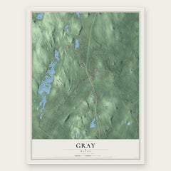
- Gray 12" x 18" / Archival Matte Print $39.99
- Pownal 12" x 18" / Archival Matte Print $39.99
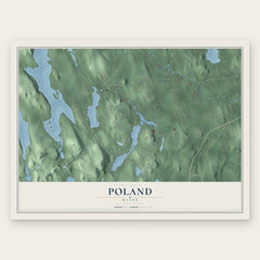
- Poland 12" x 18" / Archival Matte Print $39.99

More maps nearby: Durham, North Yarmouth, Raymond, Auburn and Casco.
The art of mapping a place
How This Map Was Made
Real places. Remarkable detail. Discover the layers that turn geographic data into a map of home.

The view from above
Aerial imagery reveals the character of the land: woodland, open fields, and the patterns of a place.

The shape of the land
Elevation data brings hills, valleys, and subtle changes in the landscape into view.

The details of home
Roads, waterways, and building footprints come together to make the map feel unmistakably local.

Geography becomes art
Considered color, shading, and typography bring the layers together in a map made for your wall.


Process illustrated with Mendon, Massachusetts. Aerial imagery: USDA NAIP. Terrain: USGS 3D Elevation Program. Map details and finished artwork: KNOWOL.
The Details
About This Print
Choose an archival matte print, or a black or white Ayous wood frame. The archival matte print is unframed.
Select your size and finish above to see the matching product image and price.
Materials & Craftsmanship
A contemporary map with the character of a classic atlas, printed on archival matte paper. Optional frames are made from Ayous wood.
Your printed map does not include the watermark shown in the full-map preview.
Shipping & Delivery
Free shipping within the United States. Every print is made to order in the USA.
Buying a gift? Add a note in your cart and we'll include it. We never put prices in the package.
Prints ship within 2 to 3 business days. Allow 7 to 10 days total from ordering for delivery. Timing may vary during holidays or periods of high order volume.
Read our shipping policy.
Returns and damaged prints
Each print is made to order. Change-of-mind refunds are not available after production.
If your print arrives damaged, misprinted or incorrect, contact support@knowol.com within 30 days of receiving it. Include your order number, photos and a description of the issue.
Read our full refund and replacement policy. For questions about your order, email support@knowol.com.