
Search for another town


Free U.S. delivery 7 to 10 days after you order
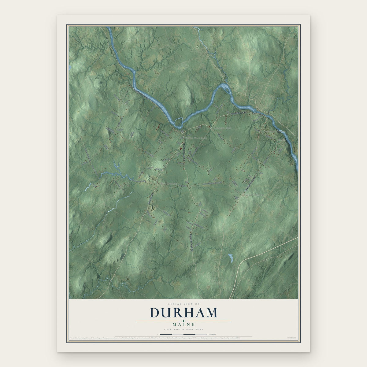
Durham, Maine Map Art
Building by building, with labeled streets and shaded relief.
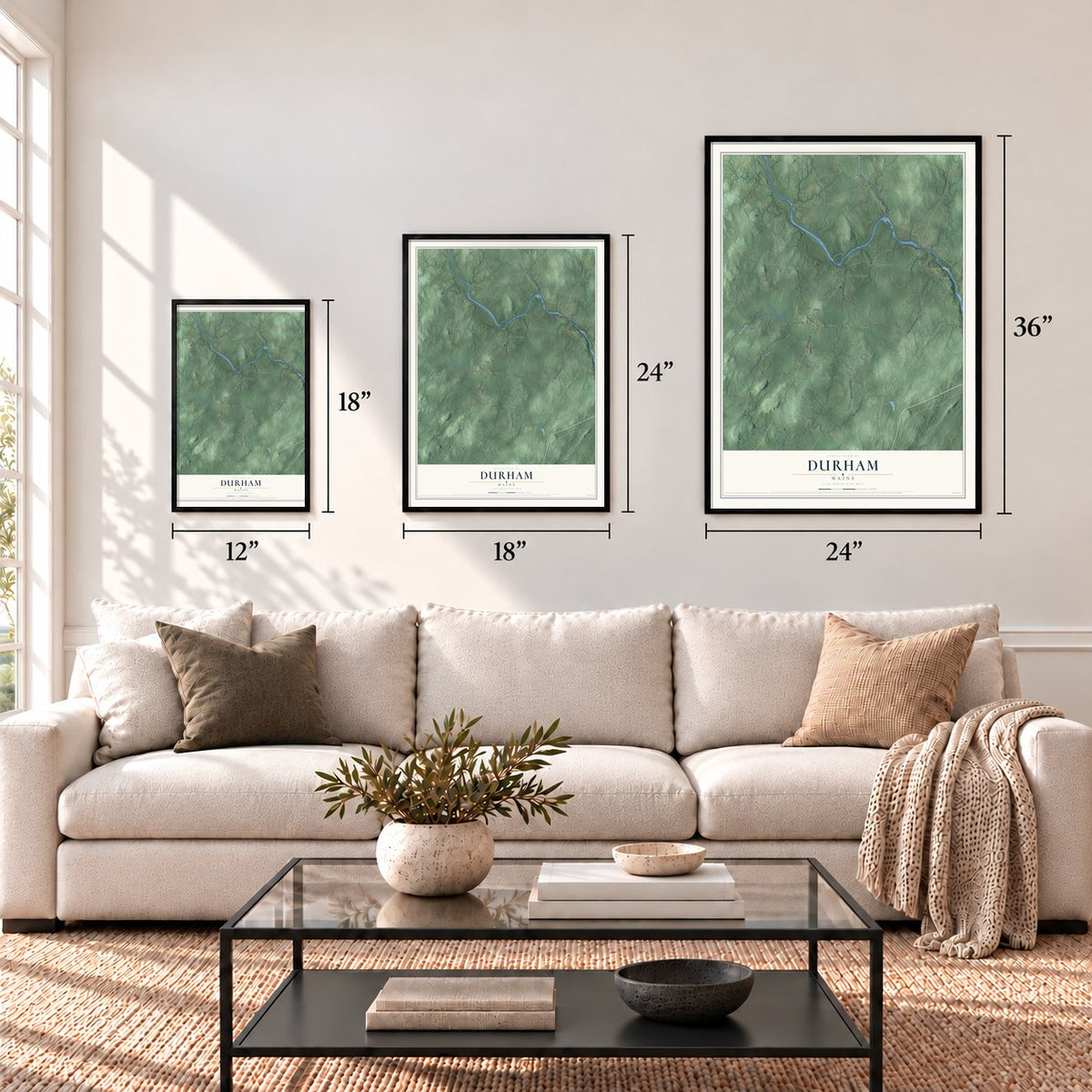
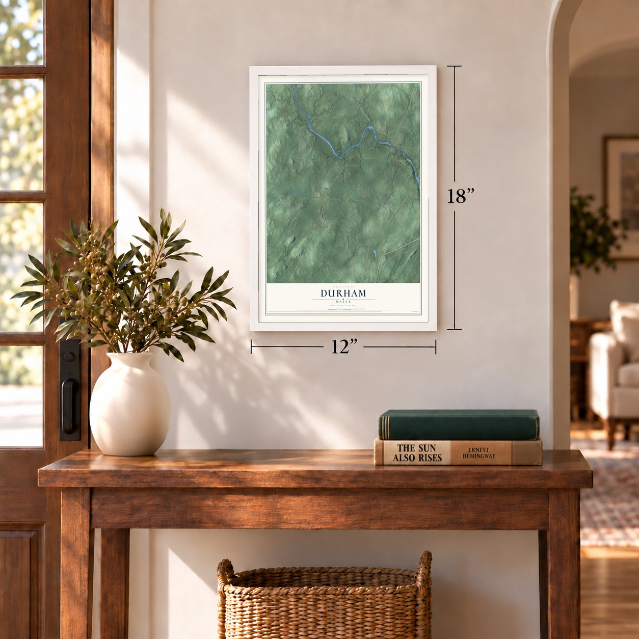
12" x 18" Archival Matte Print
A Map of Home. A Work of Art.
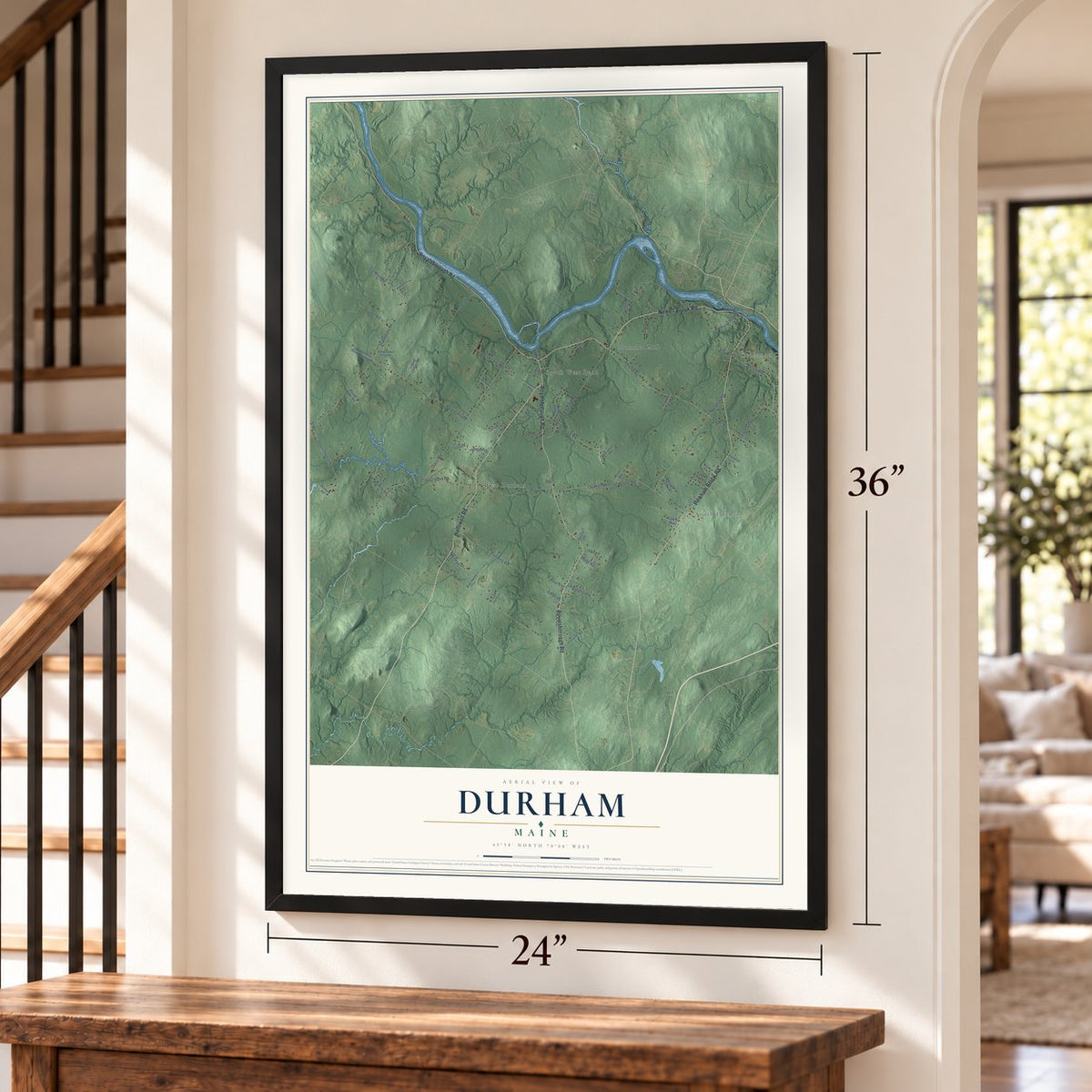
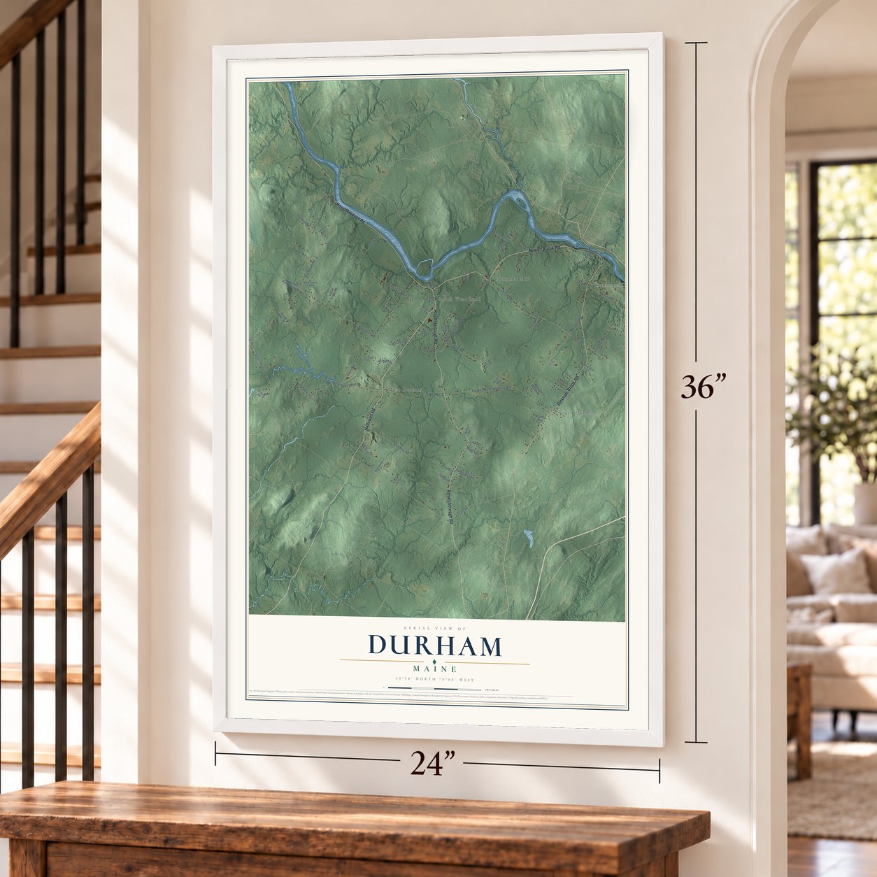
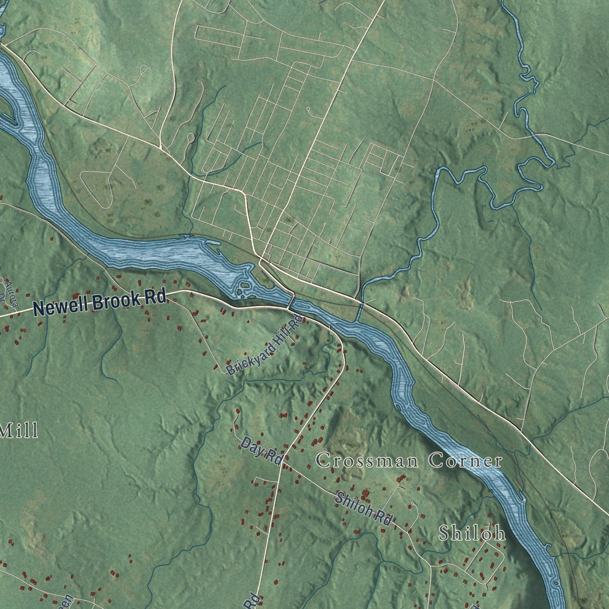
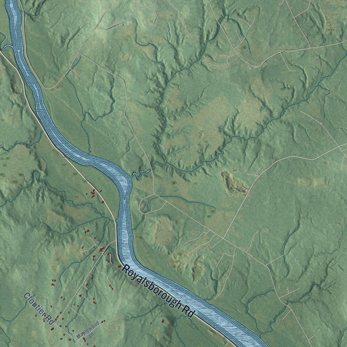
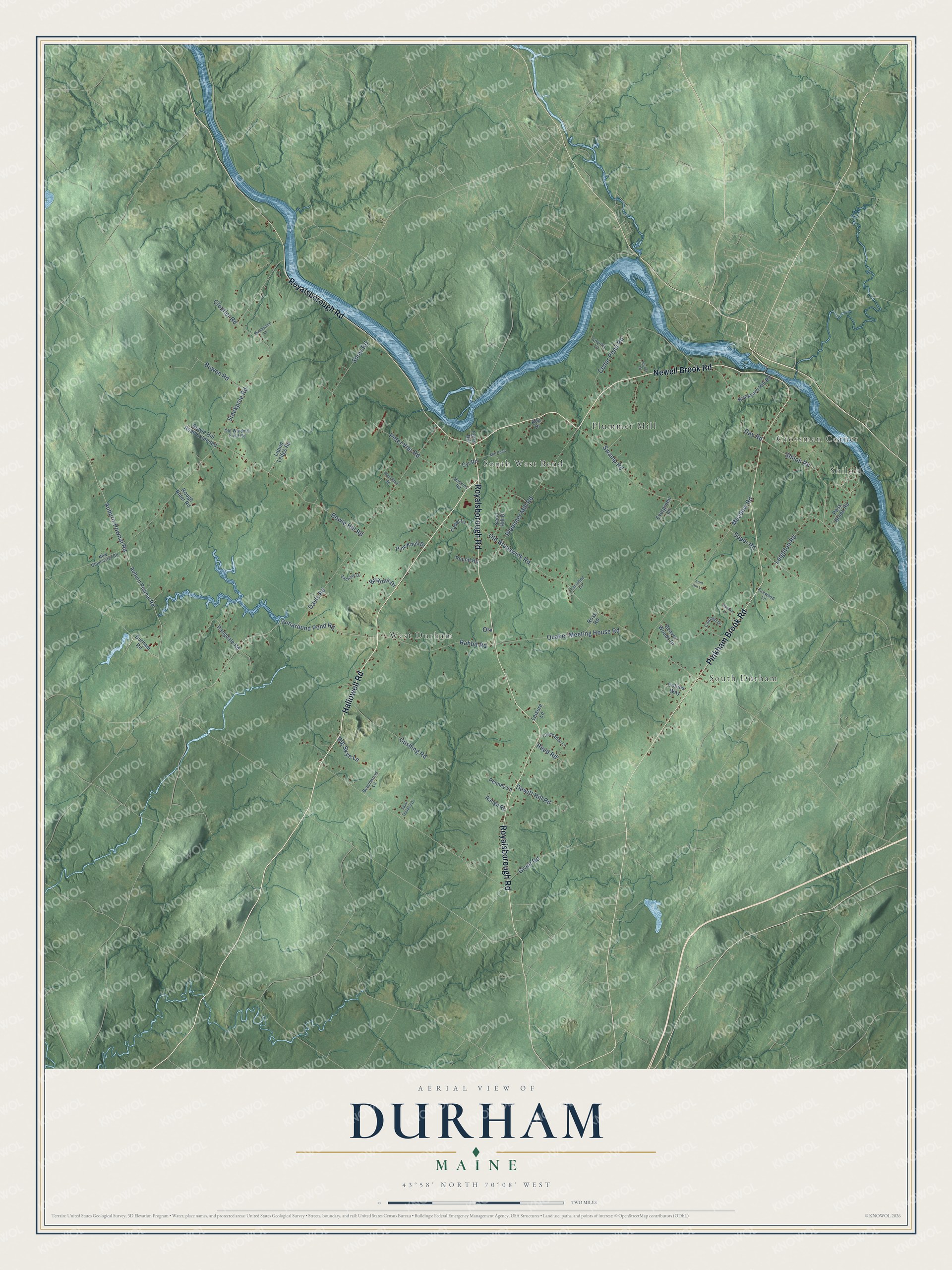
Explore Durham, Maine from a whole new perspective. Created using aerial imagery and detailed geographic data, this map captures Durham building by building, with labeled streets, familiar landmarks, and shaded topographical relief that highlights the natural contours of the landscape.
Combining modern data with the timeless character of a vintage atlas, this map is just as interesting up close as it is beautiful on the wall. Whether you grew up in Durham, spent memorable years there, or call it home today, this unique map is a great way to celebrate a place that means something to you. Zoom in on the preview to look for your street, and then order a print to put your memories on the wall.
Three ways to hang it
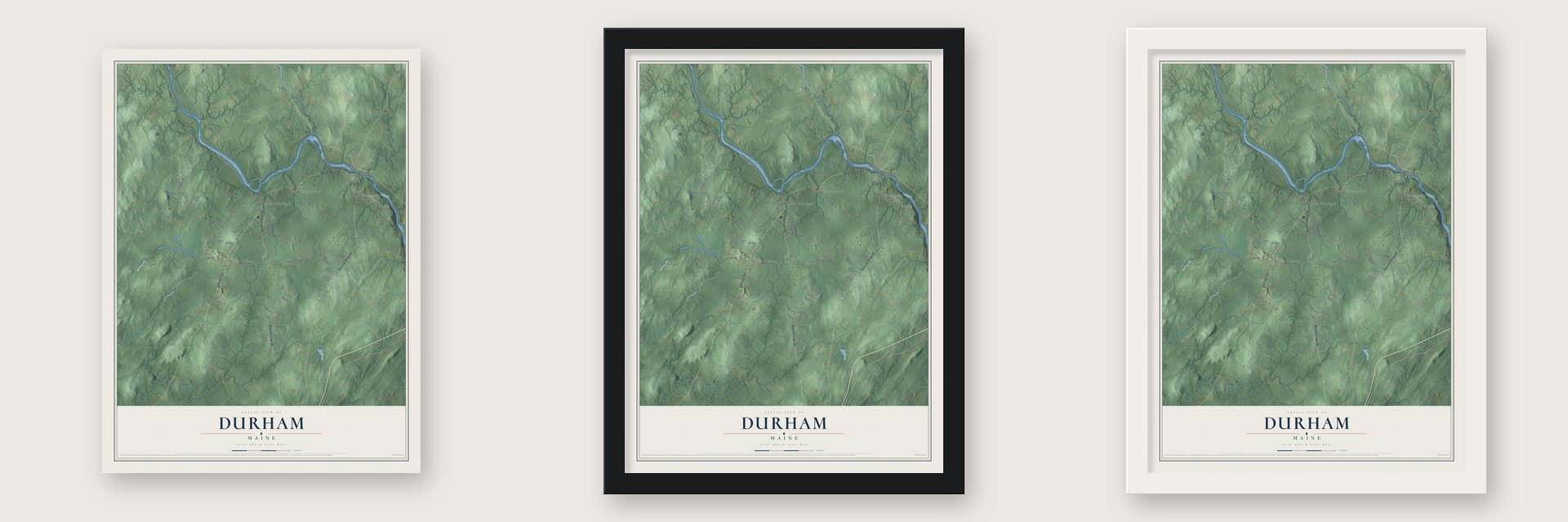
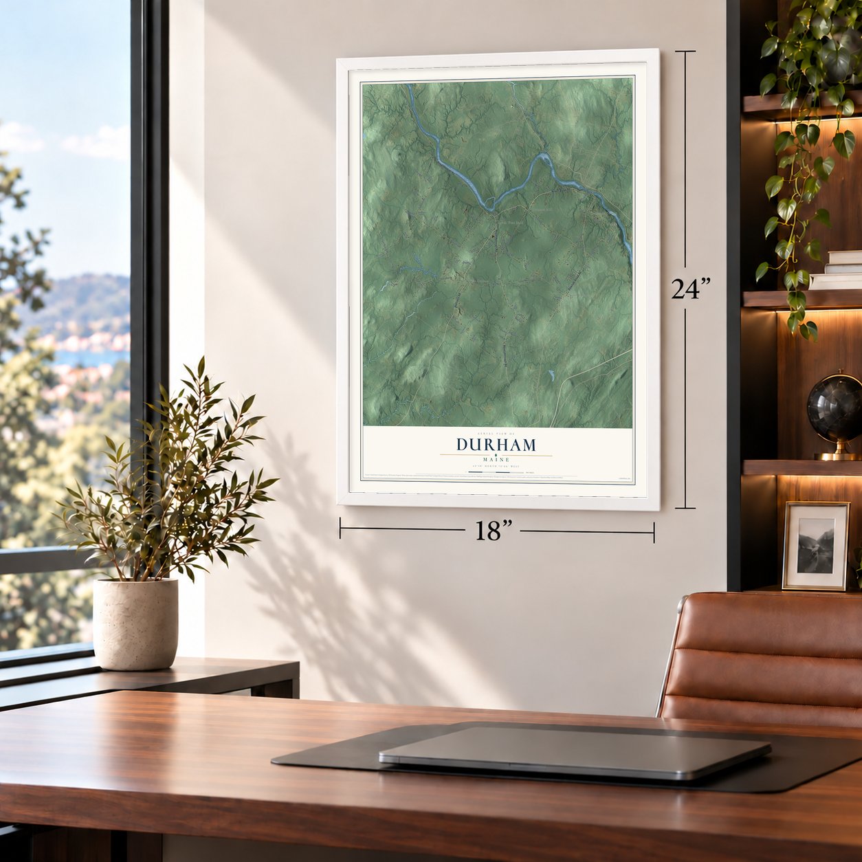
Unframed archival matte, a black wood frame or a white wood frame.
Up close
Geography Worth Displaying
This map was created using accurate cartographic data and authoritative geographic sources, including the U.S. Geological Survey (USGS) and FEMA. The map brings together terrain, waterways, roads, and building detail. The majority of the streets are labeled, houses are accurately depicted, and the topography is derived from government sources. Combining local data with carefully composed color and shading leads to this beautifully detailed Durham artwork for your wall.
Rather than simply showing street outlines, we’ve included as many of the street names as we could reasonably fit on the map while keeping their names legible. Zoom in on the high resolution preview to see exactly what’s on the map. We truly set out to create a statement piece for anyone who loves Durham. So whether it’s for you, or a gift for someone you love, we hope this map of Durham brings back fond memories.
Explore the full map of Durham, Maine and read about the local places it shows.
Find your street
Names on the Durham map
Every name below is printed on this map. Look for your street, your school, the park where you played, or the pond down the road.
Places and landmarks6
- Shiloh
- Crossman Corner
- West Durham
- South West Bend
- South Durham
- Plummer Mill
Streets and roads70
- Royalsborough Road
- Pinkham Brook Road
- Hallowell Road
- Newell Brook Road
- Auburn-Pownal Road
- Runaround Pond Road
- Shiloh Road
- Soper Road
- Stackpole Road
- Davis Road
- Quaker Meeting House Road
- Swamp Road
- Old Brunswick Road
- Meadow Road
- Bowie Hill Road
- Cedar Pond Road
- Plummer Mill Road
- Cushing Road
- Rabbit Road
- Snow Road
- Bowen Road
- Peter Vier Road
- Brianna Drive
- Leighton Road
- Dewitt Hill Road
- Grant Road
- Cloutier Road
- Day Road
- Big Skye Lane
- Reed Road
Show all 70 streets
- Orv
- Durham Road
- Auburn Pownal Road
- Brickyard Hill Road
- Rangdale Road
- Sand Hill Drive
- Pine Knoll Drive
- Bowie Hill Road Extended
- Liquid Ledge Road
- Ross Road
- Penney Lane
- Pass Brook Road
- Ledel Lane
- Beaver Woods Drive
- Collins Way
- Range Road
- Evergreen Lane
- Pound Road
- Leisure Lane
- Rough Rider Road
- Cyr Road
- Ferry Road
- Ada Drive
- New Gloucester Road
- Country Lane
- Chickadee Lane
- Zachary Drive
- Old Windmill Field Road
- Beechwood Lane
- Colonial Drive
- Firewood Lane
- Larrabee Lane
- Haskins Road
- Woodland Road
- Puritan Lane
- Aurora Drive
- Maplewood Lane
- Saint Theresa Drive
- Mill Pond
- Aunt Hill Lane
Names are listed as they appear on the printed map. Zoom into the product photos to find them.
About Durham, Maine
Durham is a town of 4,173 people in Androscoggin County, set between Greater Portland and the twin cities of Lewiston and Auburn. In the 1760s its land belonged to the Pejepscot Proprietors, and the settlement was called Royallsborough in honor of Isaac Royall Jr. When it was incorporated on February 17, 1789, it took a new name, Durham, after the English county where its first settler's family came from.
O. Israel Bagley settled in South Durham in 1770 and made his home the center of the young community. From that house he ran a grist mill, a shoe factory, an inn and the first store in town. Charles Bliss bought the property in 1836 and turned it into a dairy farm, and his family held it into the 1970s. Local tradition dates the Bagley-Bliss House to 1772 and calls it Durham's oldest home.
- Built in 1785Nathaniel Osgood, who had served in Bagley's regiment during the Revolution, built his house in southern Durham in 1785. With its four-square plan, hip roof and central chimney, the Nathaniel Osgood House is counted among the finest Federal houses of that kind in Maine.
- From church to town hallA Baptist congregation built the Union Church on Royalsborough Road in 1835 and opened its doors to other groups for worship. The town took over the building in 1922 and held its town business there until 1986. It now houses the museum of the Durham Historical Society.
- Born at a revivalThe West Durham Methodist Church stands where an early Methodist revival meeting was held, and its congregation ranks among the first Methodist ones in Maine. At one time its parish reached all the way from Litchfield to Freeport. The building was restyled in 1867 and joined the National Register in 2003.
- Shiloh, begun in 1897The preacher Frank Sandford founded a Bible school and religious community at Shiloh, on the south bank of the Androscoggin, in 1897. Its buildings grew to 500 rooms. Sandford was later charged with crimes and spent nearly seven years behind bars. The community dwindled after 1920 until only the chapel was left, and since 1998 it has been an independent evangelical church for Durham.
- Stephen King's boyhood townStephen King moved to Durham when he was eleven and attended Durham Elementary School. He modeled the fictional Jerusalem's Lot on Durham, and Shiloh is thought to be part of the inspiration for the Marsten House in Salem's Lot.
Keep exploring Maine
Durham is one of 536 Maine towns we've mapped. Every dot on the map is a print of its own.
The search covers every state, Maine first.
Near Durham
Order 2 or more town maps and save 10%. Shown in the size and finish you picked above, so they hang as a set.
- Pownal 12" x 18" / Archival Matte Print $39.99
- Lisbon 12" x 18" / Archival Matte Print $39.99
- Lisbon Falls 12" x 18" / Archival Matte Print $39.99

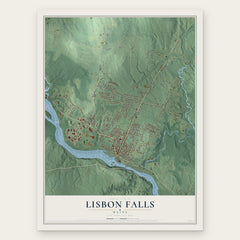
More maps nearby: Mast Landing, Freeport, New Gloucester, Topsham and Brunswick.
The art of mapping a place
How This Map Was Made
Real places. Remarkable detail. Discover the layers that turn geographic data into a map of home.

The view from above
Aerial imagery reveals the character of the land: woodland, open fields, and the patterns of a place.

The shape of the land
Elevation data brings hills, valleys, and subtle changes in the landscape into view.

The details of home
Roads, waterways, and building footprints come together to make the map feel unmistakably local.

Geography becomes art
Considered color, shading, and typography bring the layers together in a map made for your wall.


Process illustrated with Mendon, Massachusetts. Aerial imagery: USDA NAIP. Terrain: USGS 3D Elevation Program. Map details and finished artwork: KNOWOL.
The Details
About This Print
Choose an archival matte print, or a black or white Ayous wood frame. The archival matte print is unframed.
Select your size and finish above to see the matching product image and price.
Materials & Craftsmanship
A contemporary map with the character of a classic atlas, printed on archival matte paper. Optional frames are made from Ayous wood.
Your printed map does not include the watermark shown in the full-map preview.
Shipping & Delivery
Free shipping within the United States. Every print is made to order in the USA.
Buying a gift? Add a note in your cart and we'll include it. We never put prices in the package.
Prints ship within 2 to 3 business days. Allow 7 to 10 days total from ordering for delivery. Timing may vary during holidays or periods of high order volume.
Read our shipping policy.
Returns and damaged prints
Each print is made to order. Change-of-mind refunds are not available after production.
If your print arrives damaged, misprinted or incorrect, contact support@knowol.com within 30 days of receiving it. Include your order number, photos and a description of the issue.
Read our full refund and replacement policy. For questions about your order, email support@knowol.com.