
Search for another town

Free U.S. delivery 7 to 10 days after you order
Topsham, Maine Map Art
Building by building, with labeled streets and shaded relief.
12" x 18" Archival Matte Print
A Map of Home. A Work of Art.
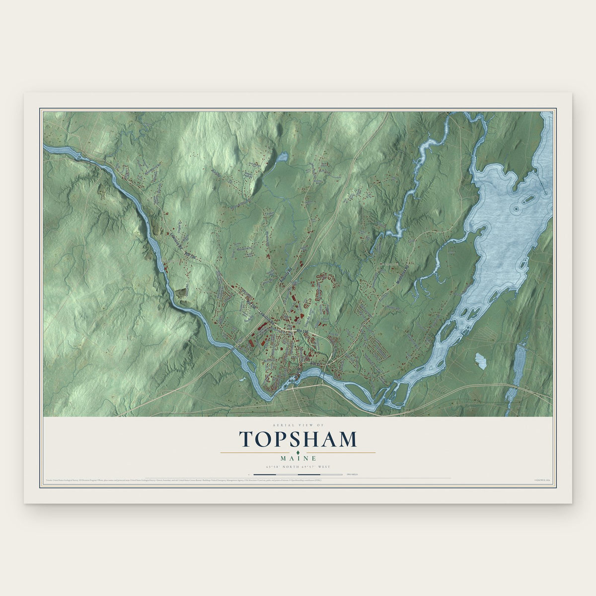
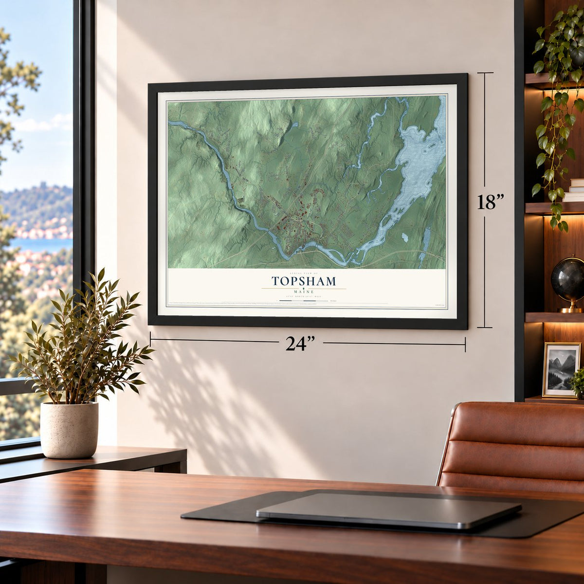
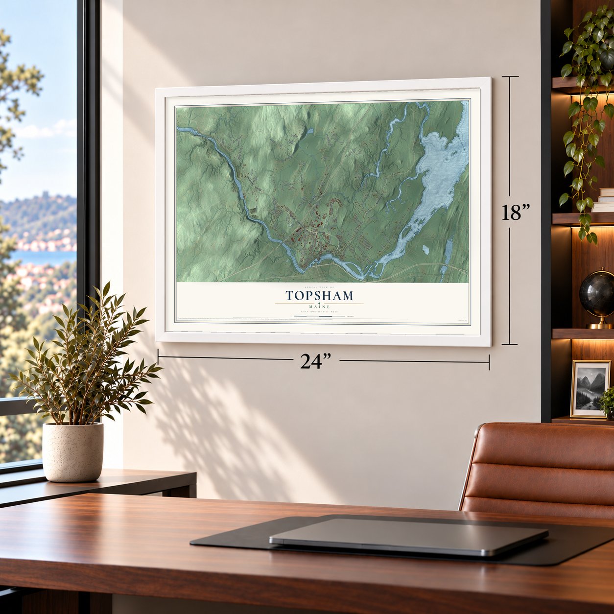
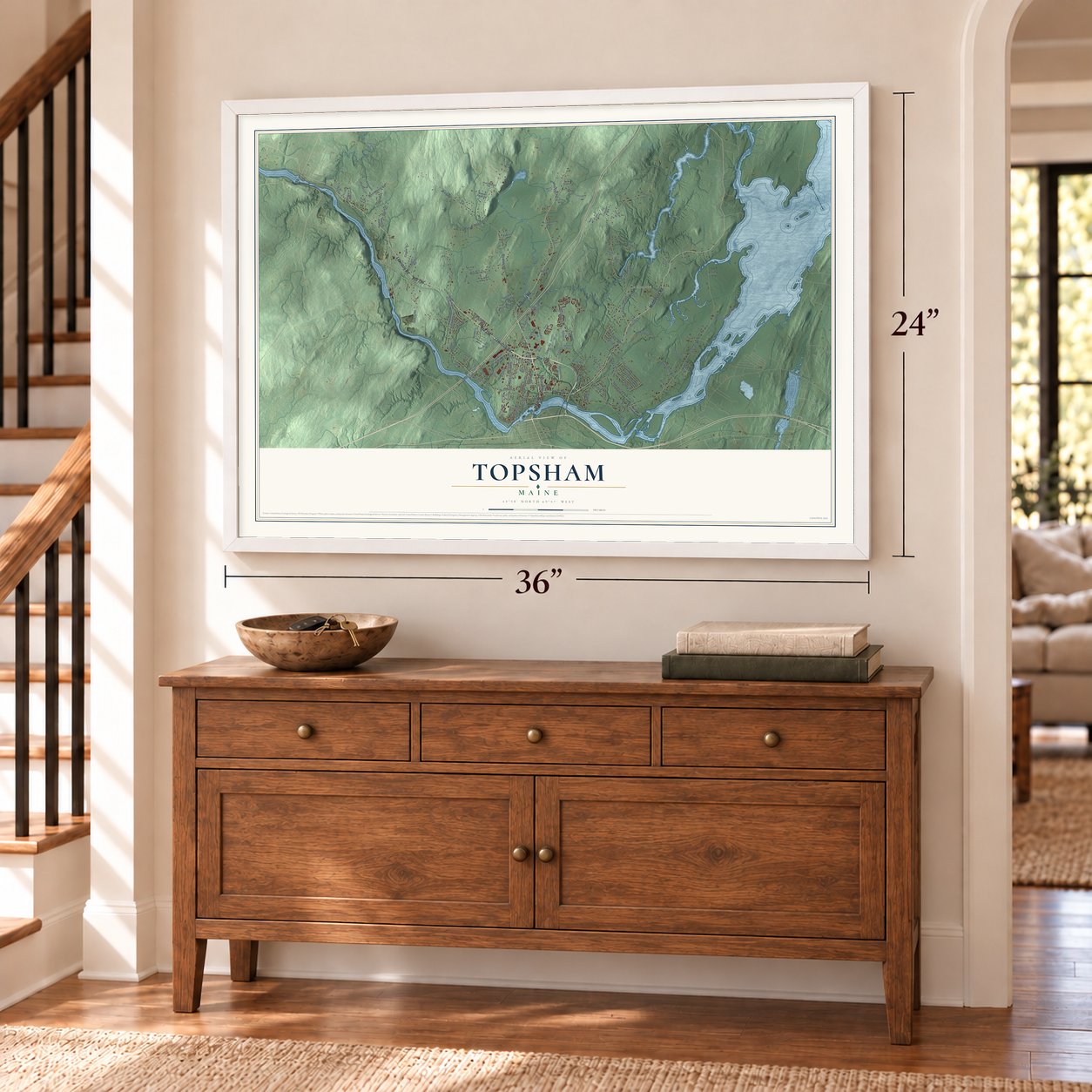
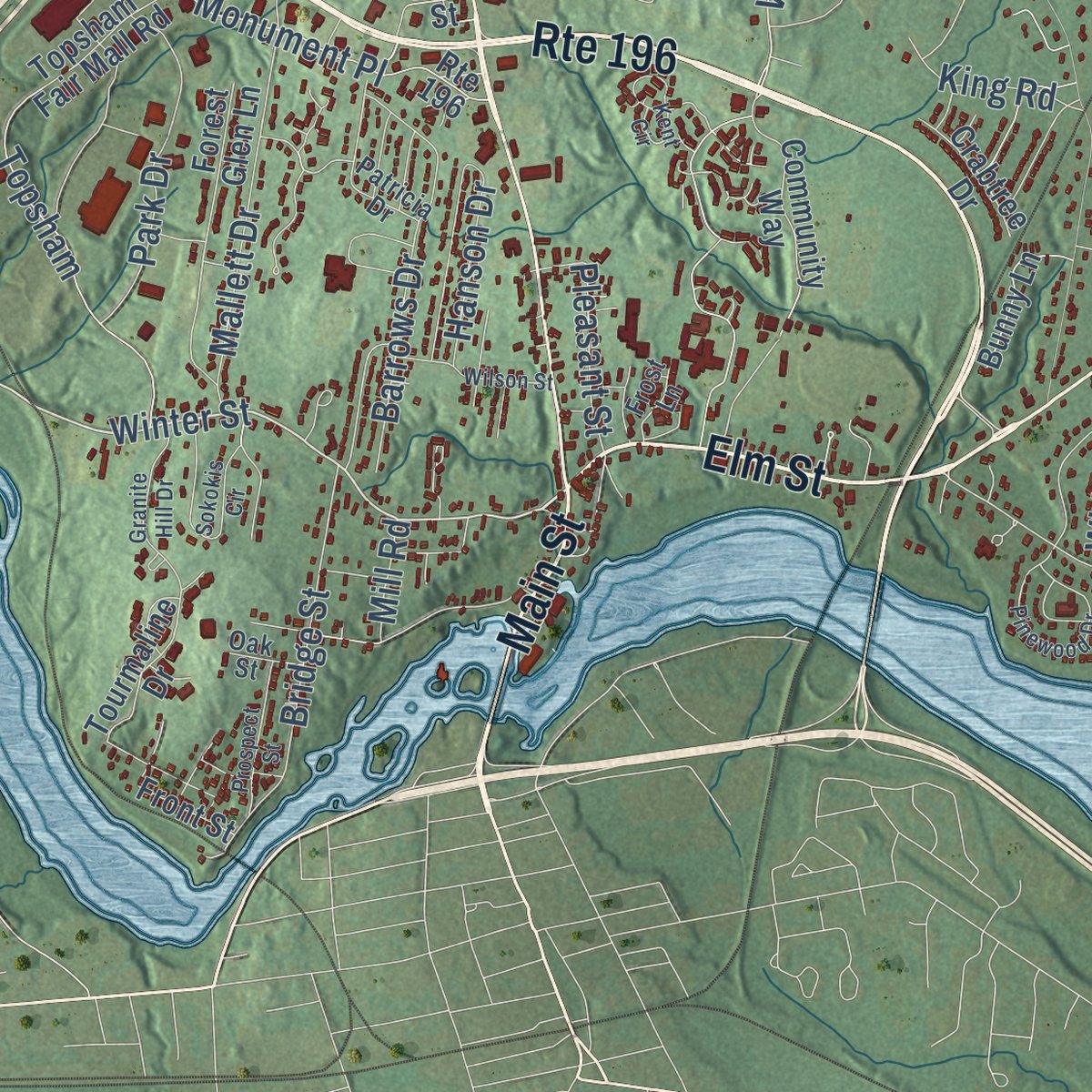
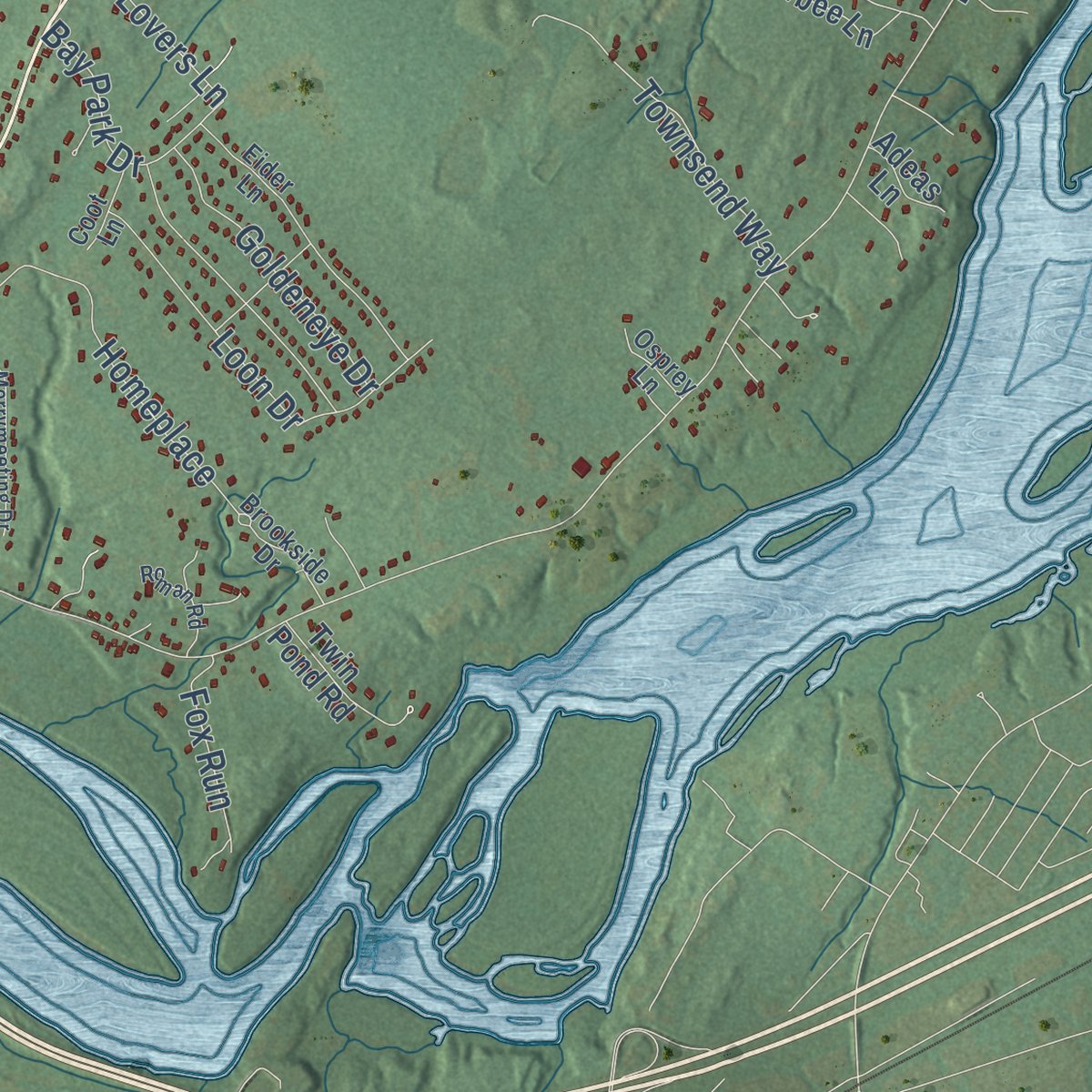
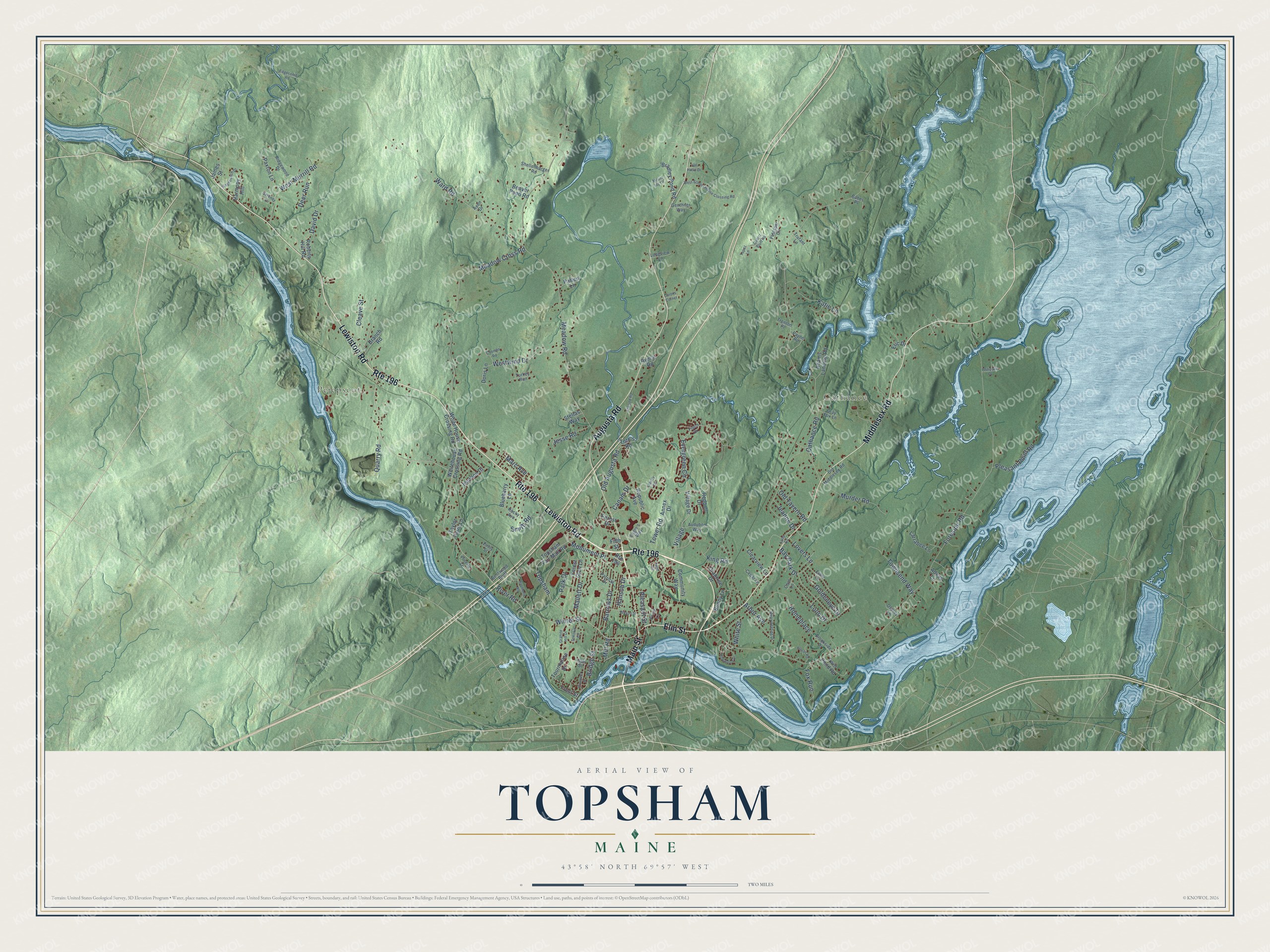
Explore Topsham, Maine from a whole new perspective. Created using aerial imagery and detailed geographic data, this map captures Topsham building by building, with labeled streets, familiar landmarks, and shaded topographical relief that highlights the natural contours of the landscape.
Combining modern data with the timeless character of a vintage atlas, this map is just as interesting up close as it is beautiful on the wall. Whether you grew up in Topsham, spent memorable years there, or call it home today, this unique map is a great way to celebrate a place that means something to you. Zoom in on the preview to look for your street, and then order a print to put your memories on the wall.
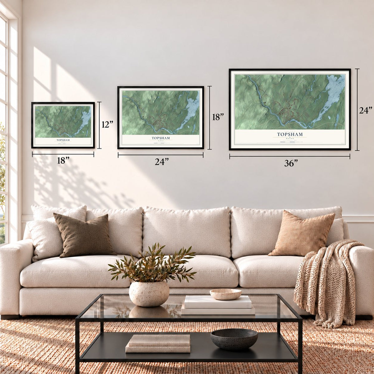
Three ways to hang it
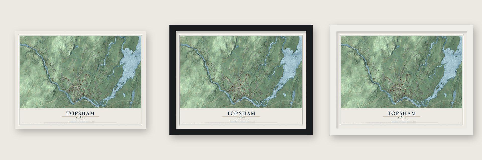
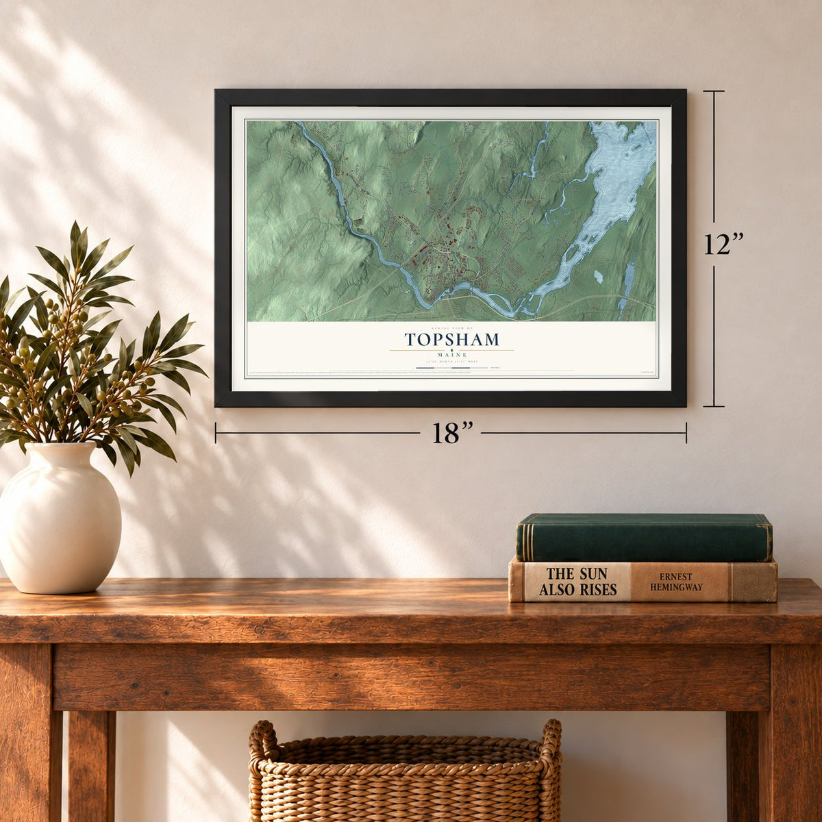
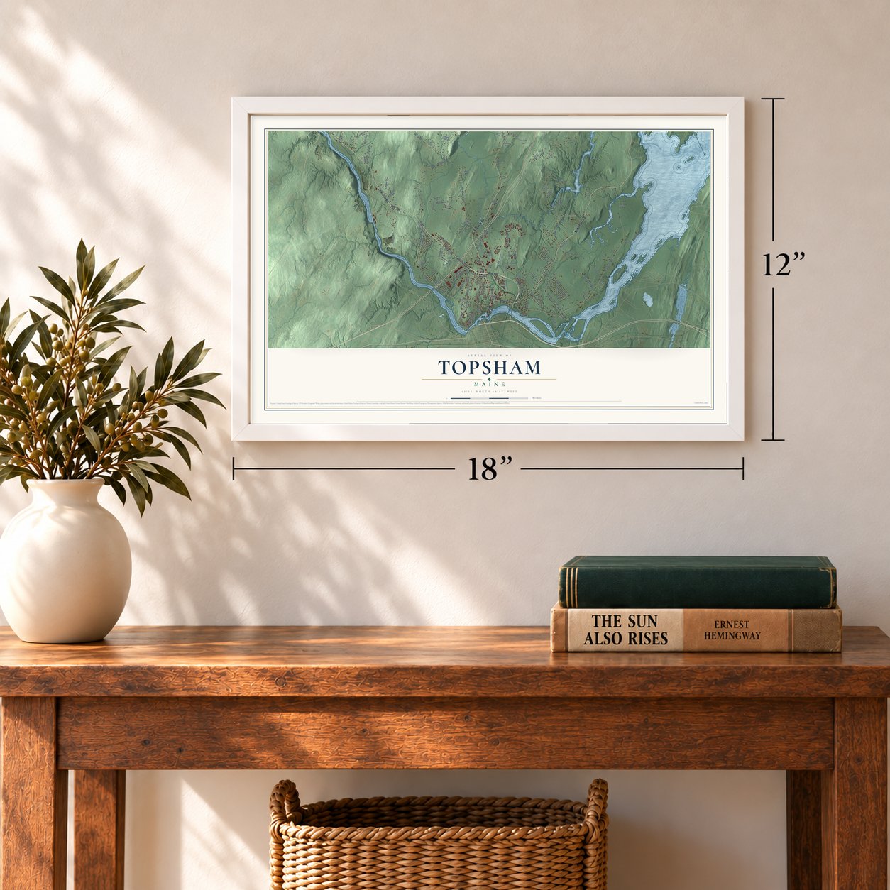
Unframed archival matte, a black wood frame or a white wood frame.
Up close
Geography Worth Displaying
This map was created using accurate cartographic data and authoritative geographic sources, including the U.S. Geological Survey (USGS) and FEMA. The map brings together terrain, waterways, roads, and building detail. The majority of the streets are labeled, houses are accurately depicted, and the topography is derived from government sources. Combining local data with carefully composed color and shading leads to this beautifully detailed Topsham artwork for your wall.
Rather than simply showing street outlines, we’ve included as many of the street names as we could reasonably fit on the map while keeping their names legible. Zoom in on the high resolution preview to see exactly what’s on the map. We truly set out to create a statement piece for anyone who loves Topsham. So whether it’s for you, or a gift for someone you love, we hope this map of Topsham brings back fond memories.
Explore the full map of Topsham, Maine and read about the local places it shows.
Find your street
Names on the Topsham map
Every name below is printed on this map. Look for your street, your school, the park where you played, or the pond down the road.
Places and landmarks2
- Pejepscot
- Cathance
Streets and roads138
- Route 196
- Elm Street
- Middlesex Road
- Lewiston Road
- Main Street
- Augusta Road
- River Road
- Winter Street
- Monument Place
- Meadow Cross Road
- Murder Road
- Foreside Road
- Cathance Road
- Meadow Road
- Ward Road
- Evergreen Circle
- West Merrill Road
- Mallett Drive
- Village
- Barrows Drive
- Westwind Drive
- Bridge Street
- Topsham
- Canam Drive
- Townsend Way
- Homeplace
- Katie Lane
- Park Drive
- Goldeneye Drive
- David Drive
Show all 138 streets
- Hanson Drive
- Pleasant Point Road
- Old Augusta Road
- Tower Road
- Bay Park Drive
- Jesse Road
- Smith Road
- Arbor Avenue
- Quarry Road
- Pleasant Street
- Loon Drive
- Old Tavern Road
- Cleave Street
- Deer Run
- Fox Run
- King Road
- Jeanne Drive
- Lovers Lane
- Marc Avenue
- White Street
- Mill Road
- Tourmaline Drive
- Front Street
- Topsham Fair Mall Road
- Ivanhoe Drive
- Village Drive
- White House Crossing Road
- Whitehouse Crossing Road
- Forest Glen Lane
- Community Way
- Republic Avenue
- Bradley Pond Road
- Beaver Pond Road
- Paxton Lane
- Roberts Hill Road
- Larrabee Lane
- Twin Pond Road
- Clearview Lane
- Adams Landing Road
- Blueberry Lane
- Doris Lane
- Forest Drive
- Bunny Lane
- Branch Road
- Annex Drive
- Toth's Road
- Crabtree Drive
- Harmony Hill
- Redpoll Drive
- Rymat Road
- Patten Lane
- Stellas Way
- Taylor Farm Lane
- Adeas Lane
- Eric Drive
- James Street
- Fifth Street
- Eagle's Way
- Eider Lane
- Ridgewood Drive
- Patricia Drive
- Old Middlesex Road
- Shellenbarger Road
- Brookside Drive
- Audubon Way
- Feldspar Circle
- Bentwood Bluff
- Longview Lane
- Emily Street
- Pinette Lane
- Genthner Way
- Gray Fox Lane
- Cedar Lane
- Babes Place
- Coot Lane
- Osprey Lane
- Trenton Place
- Turkey Run
- Rocky Avenue
- Trufant Lane
- Frost Lane
- Oak Street
- Payne Road
- Finch Drive
- Avon Drive
- West School House Crossing Road
- Sokokis Circle
- Pinewood Drive
- Merrymeeting Drive
- Atwood Road
- Granite Hill Drive
- Loop Road
- Wilson Street
- Prospect Street
- Raymond Road
- Stagecoach Drive
- Roman Road
- Coombs Road
- Edgecomb Road
- Mount Idy Lane
- Philippon Drive
- Serenity Lane
- Kent Circle
- Val Halla Drive
- Quartz Bluff Road
- Carons Corner
- Liberty Circle
- Topaz Lane
Names are listed as they appear on the printed map. Zoom into the product photos to find them.
About Topsham, Maine
Topsham is a town of 9,560 people in Sagadahoc County, where the Androscoggin River reaches Merrymeeting Bay. The Pejepscot Abenaki knew the area as Sawacook and caught fish at Pejepscot Falls until disease, most likely smallpox brought by Europeans, swept through their villages in 1615 and 1616. The Plymouth Council granted the land to Thomas Purchase and George Way on June 16, 1632. Richard Wharton later acquired it, and in 1714 it passed to the Pejepscot Company.
The first sawmill went up on the Cathance River in 1716, and a year later the plantation took the name Topsham, after the old town of Topsham in Devon, England. The Massachusetts General Court made it a town on January 31, 1764. Shipyards and lumber mills came first, and the mills were busiest from 1750 to 1770. Later the falls turned the machinery of factories that made doors, nails, pitchforks, watches and pottery.
- A bridge to Brunswick since 1756A group called the Proprietors of the Androscoggin Bridge built a toll bridge between Topsham and Brunswick in 1756, and it carried traffic until a fire destroyed it in 1842. Today the crossing is the Frank J. Wood Bridge, which opened in 1932 and which locals call the Green Bridge.
- The flood of 1936A large flood struck Topsham and Brunswick in 1936. The high water damaged the Androscoggin Swinging Bridge, the footbridge across the river, and the Androscoggin ran straight through the lower levels of the Pejepscot Paper Company mill, which dated to 1868.
- The Topsham Fair since 1856The Sagadahoc Agricultural & Horticultural Society put up its building and laid out its fairgrounds in Topsham in 1856. The town has hosted the Topsham Fair every year since.
- Tunnels between safe housesSome believe Underground Railroad safe houses in Topsham and Brunswick were linked by real tunnels. In Topsham, the tunnels are said to have started at the Granny-Hole Mill beside the Androscoggin River and climbed to the Samuel Veazie House, passing the Charles Thompson House and the Walker Homestead along the way. They were built of red brick with straight walls and arched roofs, wide enough for a horse and buggy.
Keep exploring Maine
Topsham is one of 536 Maine towns we've mapped. Every dot on the map is a print of its own.
The search covers every state, Maine first.
Near Topsham
Order 2 or more town maps and save 10%. Shown in the size and finish you picked above, so they hang as a set.
- Brunswick 12" x 18" / Archival Matte Print $39.99
- Bath 12" x 18" / Archival Matte Print $39.99
- Lisbon Falls 12" x 18" / Archival Matte Print $39.99
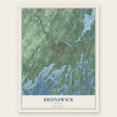
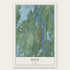
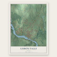
More maps nearby: Bowdoinham, Lisbon, Bowdoin, West Bath and Durham.
The art of mapping a place
How This Map Was Made
Real places. Remarkable detail. Discover the layers that turn geographic data into a map of home.

The view from above
Aerial imagery reveals the character of the land: woodland, open fields, and the patterns of a place.

The shape of the land
Elevation data brings hills, valleys, and subtle changes in the landscape into view.

The details of home
Roads, waterways, and building footprints come together to make the map feel unmistakably local.

Geography becomes art
Considered color, shading, and typography bring the layers together in a map made for your wall.


Process illustrated with Mendon, Massachusetts. Aerial imagery: USDA NAIP. Terrain: USGS 3D Elevation Program. Map details and finished artwork: KNOWOL.
The Details
About This Print
Choose an archival matte print, or a black or white Ayous wood frame. The archival matte print is unframed.
Select your size and finish above to see the matching product image and price.
Materials & Craftsmanship
A contemporary map with the character of a classic atlas, printed on archival matte paper. Optional frames are made from Ayous wood.
Your printed map does not include the watermark shown in the full-map preview.
Shipping & Delivery
Free shipping within the United States. Every print is made to order in the USA.
Buying a gift? Add a note in your cart and we'll include it. We never put prices in the package.
Prints ship within 2 to 3 business days. Allow 7 to 10 days total from ordering for delivery. Timing may vary during holidays or periods of high order volume.
Read our shipping policy.
Returns and damaged prints
Each print is made to order. Change-of-mind refunds are not available after production.
If your print arrives damaged, misprinted or incorrect, contact support@knowol.com within 30 days of receiving it. Include your order number, photos and a description of the issue.
Read our full refund and replacement policy. For questions about your order, email support@knowol.com.