
Search for another town
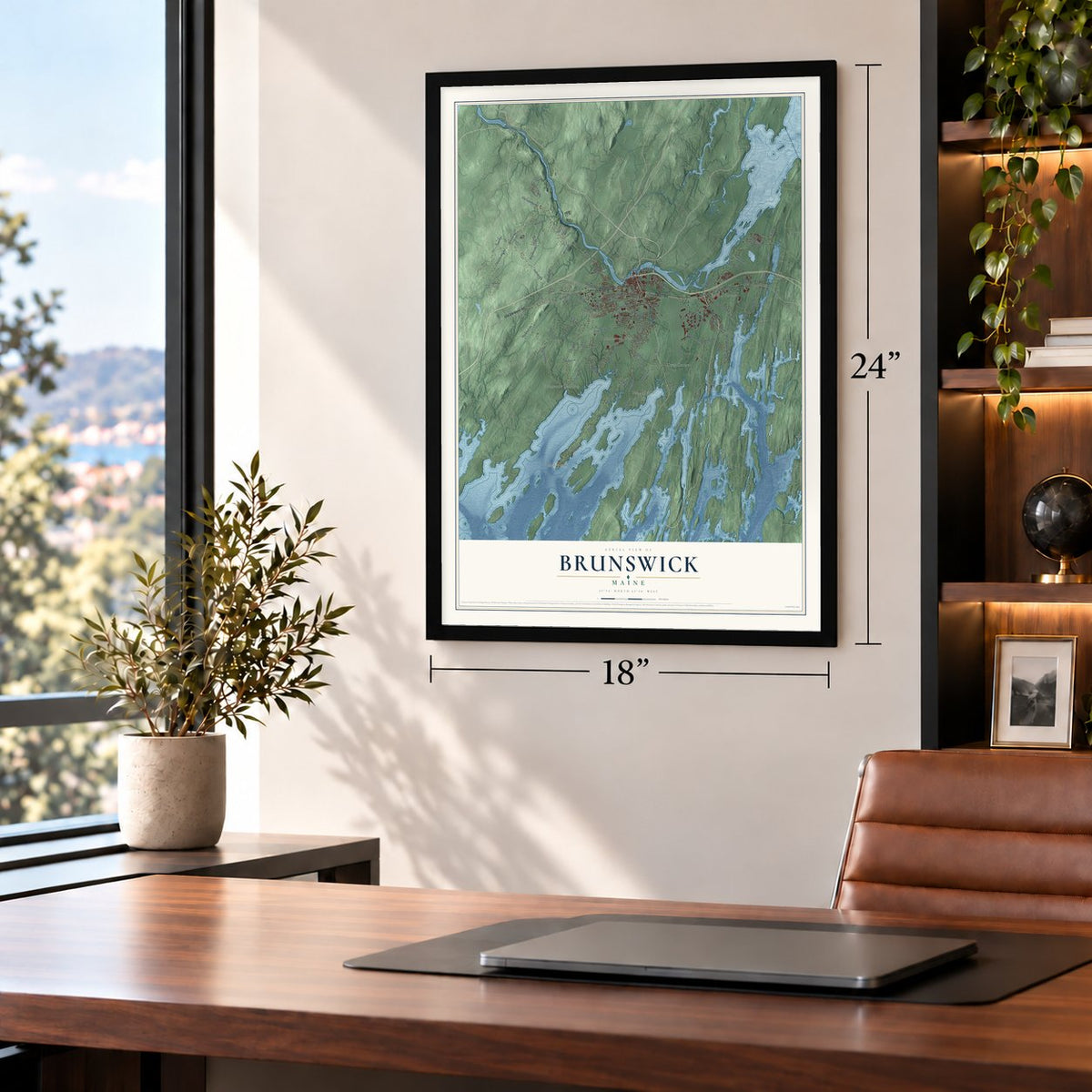
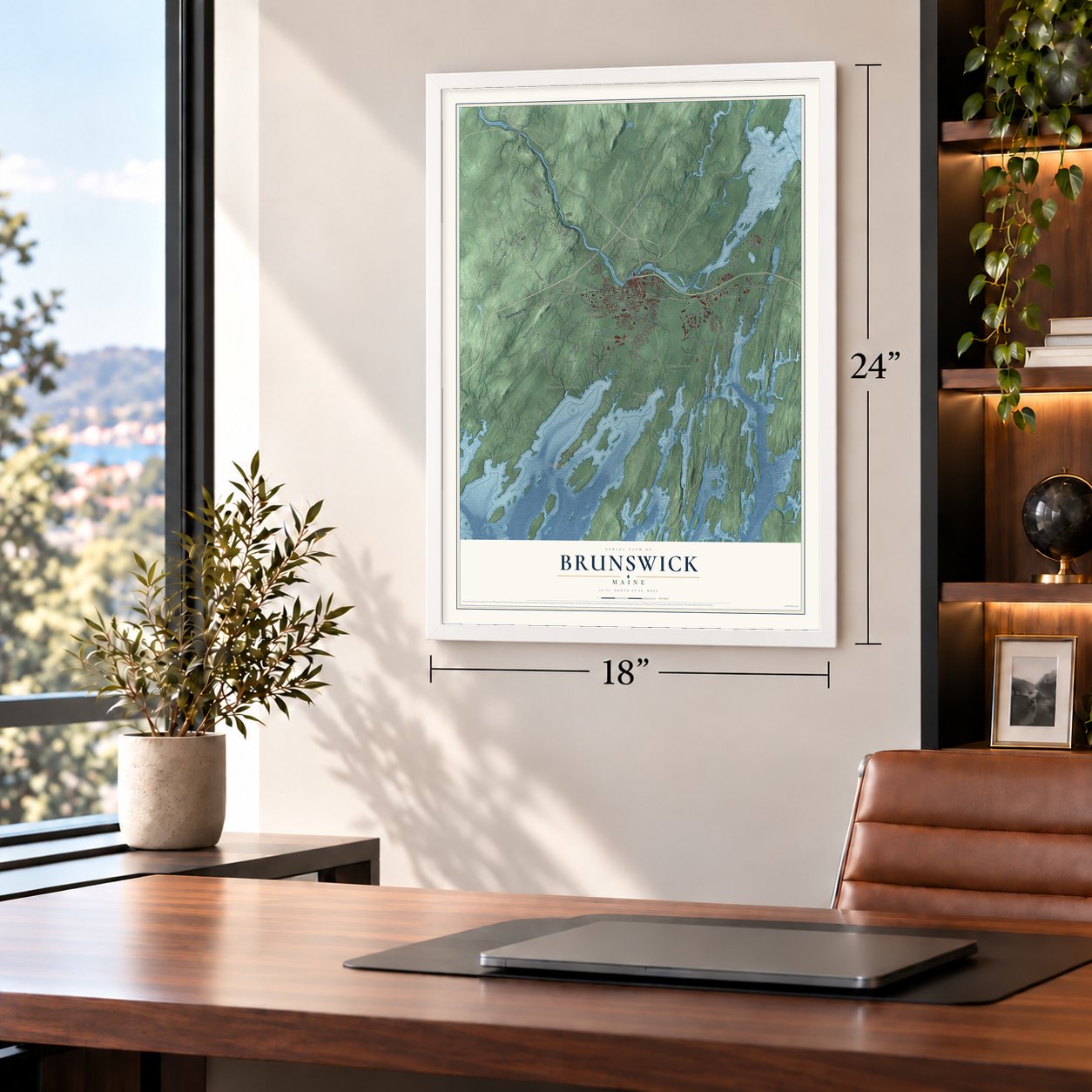
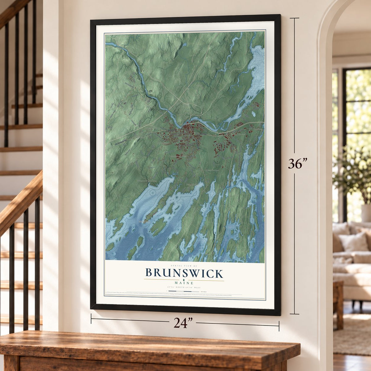
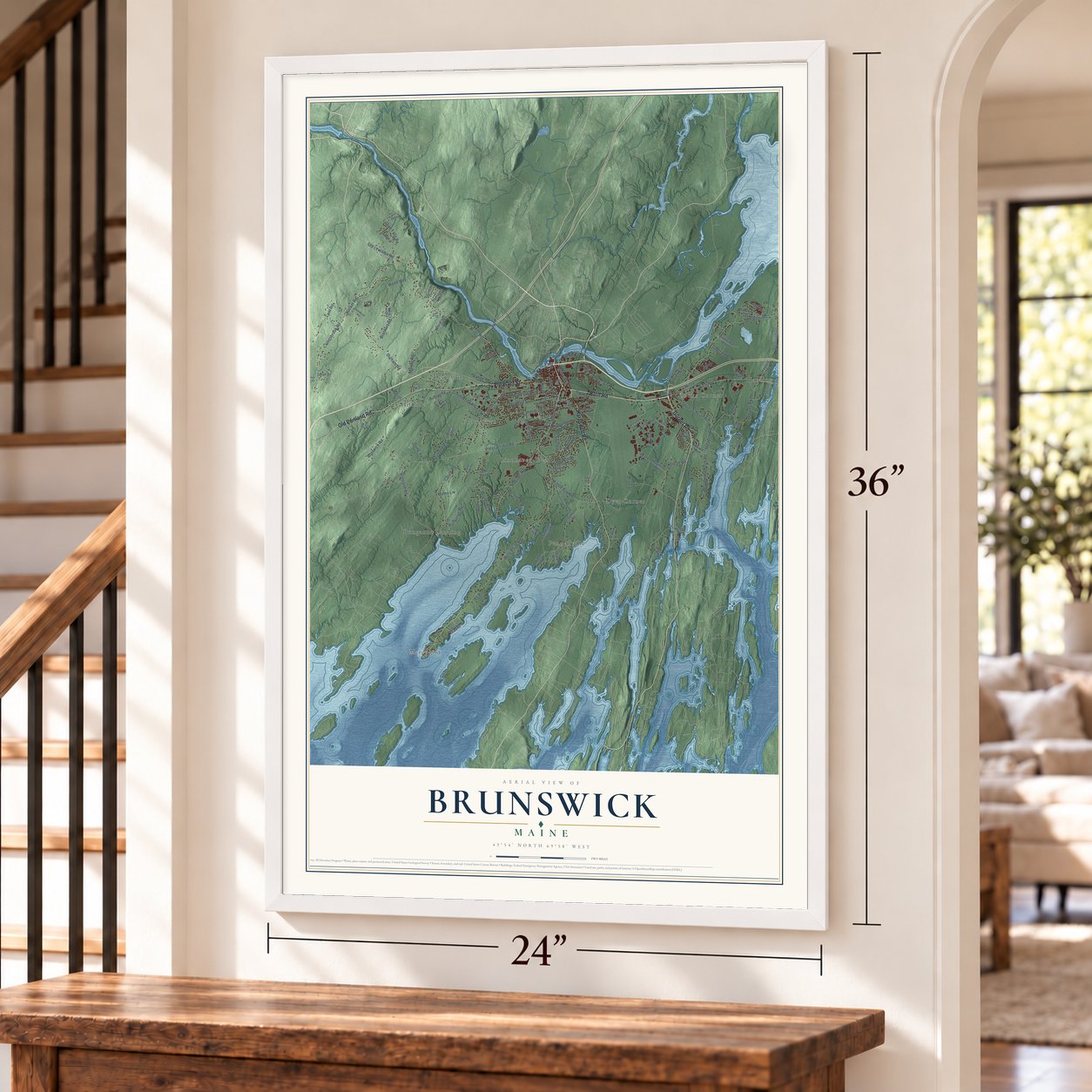
Free U.S. delivery 7 to 10 days after you order
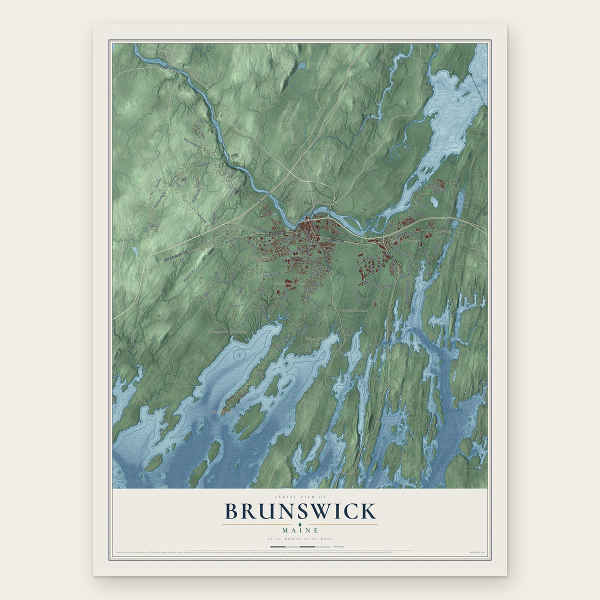
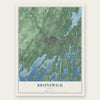
Brunswick, Maine Map Art
Building by building, with labeled streets and shaded relief.
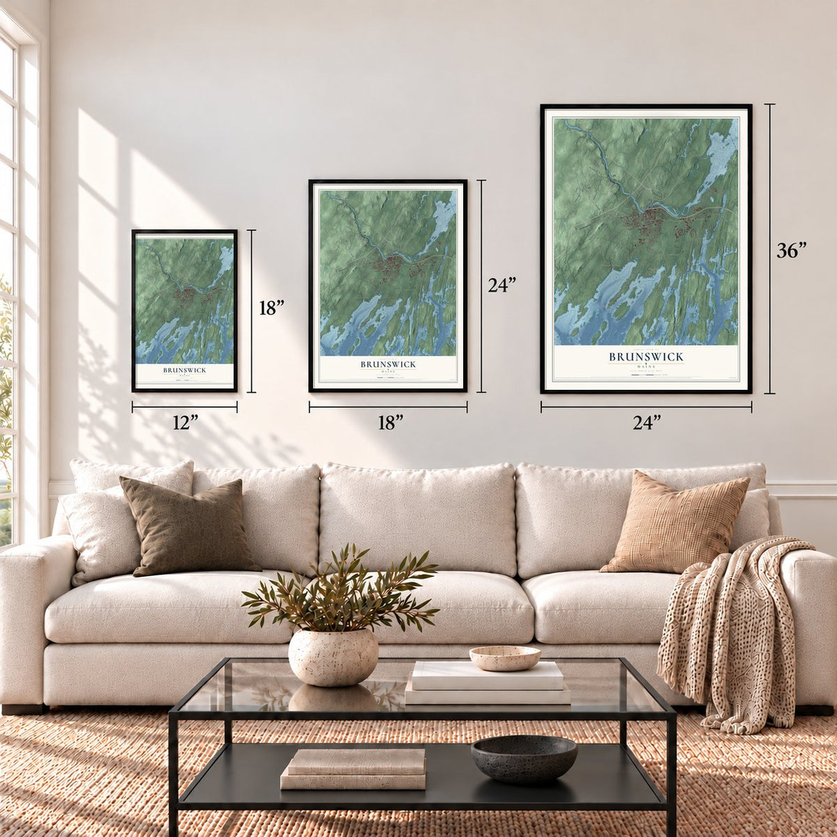
12" x 18" Archival Matte Print
A Map of Home. A Work of Art.
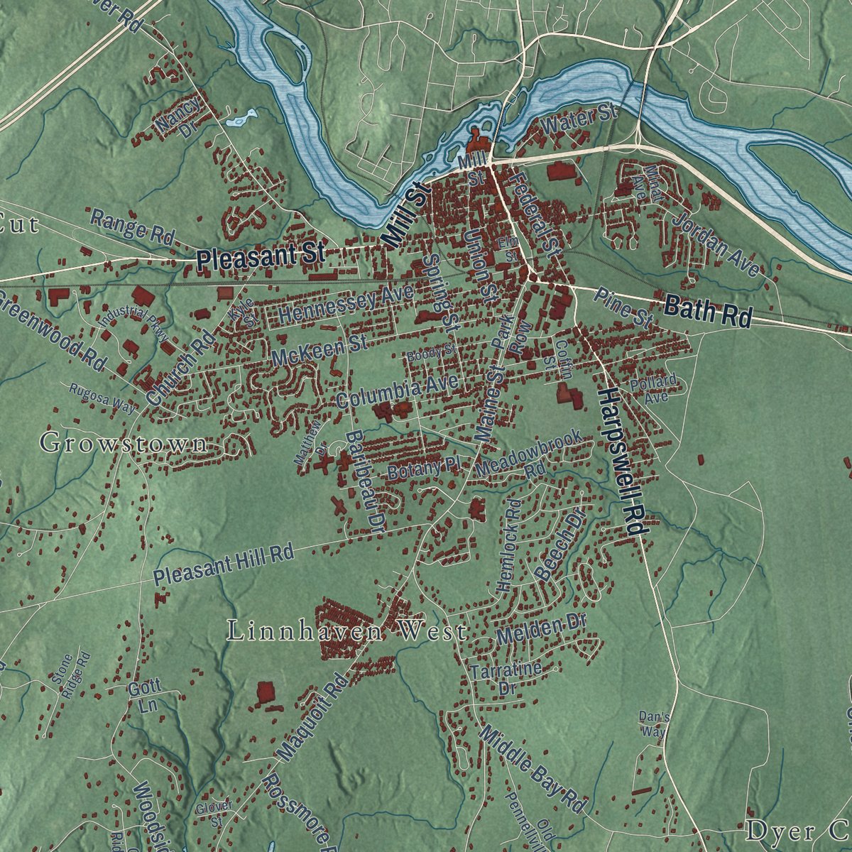
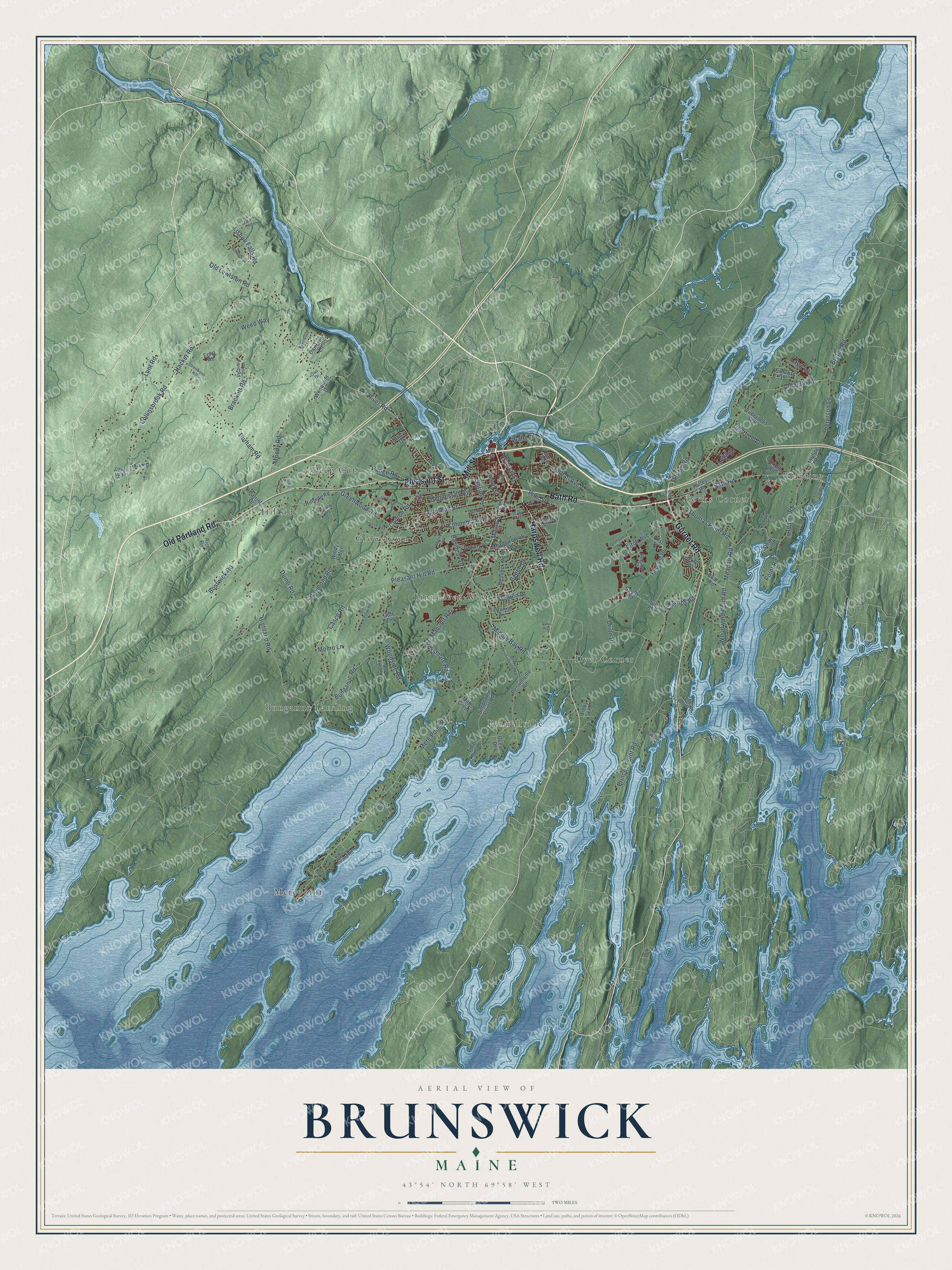
Explore Brunswick, Maine from a whole new perspective. Created using aerial imagery and detailed geographic data, this map captures Brunswick building by building, with labeled streets, familiar landmarks, and shaded topographical relief that highlights the natural contours of the landscape.
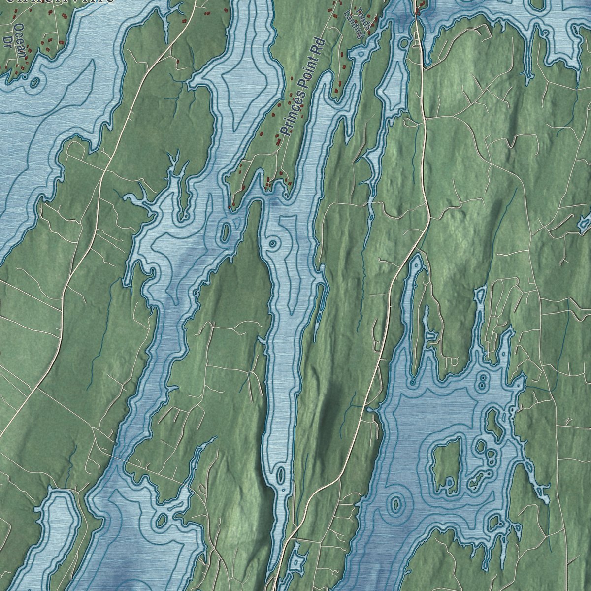
Combining modern data with the timeless character of a vintage atlas, this map is just as interesting up close as it is beautiful on the wall. Whether you grew up in Brunswick, spent memorable years there, or call it home today, this unique map is a great way to celebrate a place that means something to you. Zoom in on the preview to look for your street, and then order a print to put your memories on the wall.
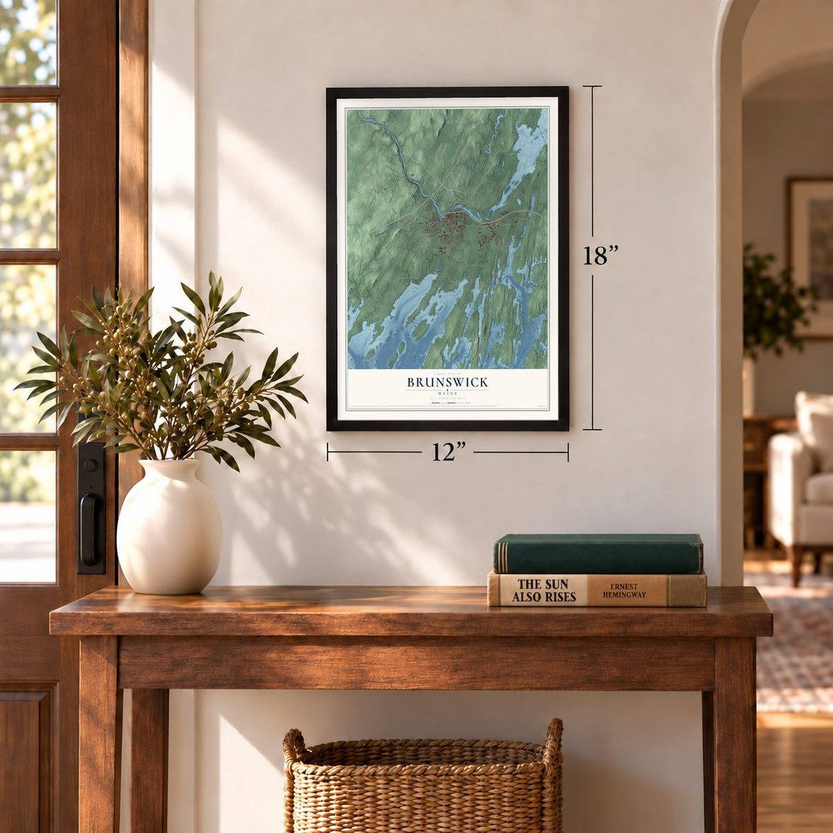
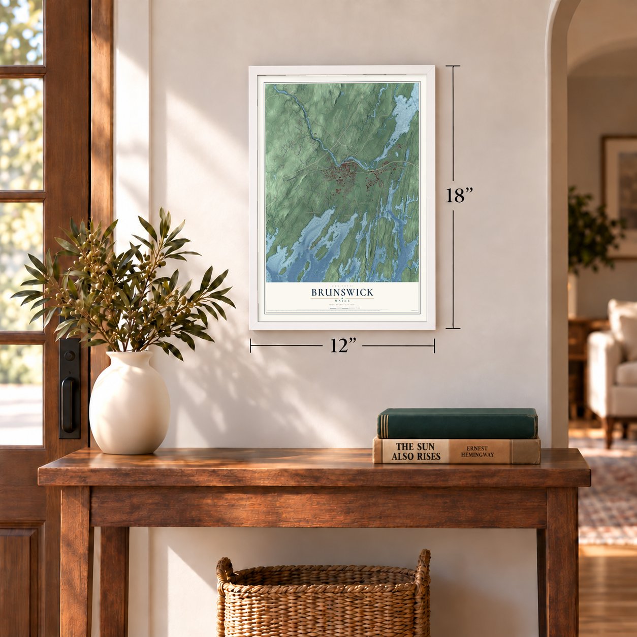
Three ways to hang it
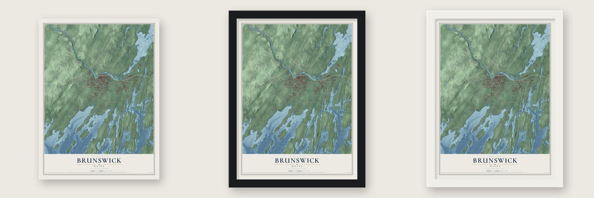
Unframed archival matte, a black wood frame or a white wood frame.
Up close
Geography Worth Displaying
This map was created using accurate cartographic data and authoritative geographic sources, including the U.S. Geological Survey (USGS) and FEMA. The map brings together terrain, waterways, roads, and building detail. The majority of the streets are labeled, houses are accurately depicted, and the topography is derived from government sources. Combining local data with carefully composed color and shading leads to this beautifully detailed Brunswick artwork for your wall.
Rather than simply showing street outlines, we’ve included as many of the street names as we could reasonably fit on the map while keeping their names legible. Zoom in on the high resolution preview to see exactly what’s on the map. We truly set out to create a statement piece for anyone who loves Brunswick. So whether it’s for you, or a gift for someone you love, we hope this map of Brunswick brings back fond memories.
Explore the full map of Brunswick, Maine and read about the local places it shows.
Find your street
Names on the Brunswick map
Every name below is printed on this map. Look for your street, your school, the park where you played, or the pond down the road.
Places and landmarks10
- Dyer Corner
- Merepoint
- Harding
- Bunganuc Landing
- Hillside
- Cooks Corner
- Pennellville
- Linnhaven West
- Growstown
- Deep Cut
Streets and roads125
- Bath Road
- Gurnet Road
- Pleasant Street
- Mill Street
- Old Portland Road
- Harpswell Road
- Maine Street
- Mere Point Road
- Coombs Road
- Orion Drive
- Thomas Point Road
- Adams Road
- River Road
- Old Lewiston Road
- Pleasant Hill Road
- Durham Road
- Highland Road
- Old Bath Road
- Woodside Road
- Princes Point Road
- Bunganuc Road
- Collinsbrook Road
- Maquoit Road
- Casco Road
- Church Road
- Lunt Road
- Hacker Road
- McKeen Street
- Columbia Avenue
- Middle Bay Road
Show all 125 streets
- Jordan Avenue
- Raymond Road
- Woodward Point Road
- Greenwood Road
- Rossmore Road
- Baribeau Drive
- Fitch Avenue
- Lisbon Falls Road
- Peterson Lane
- Brackett Road
- Hennessey Avenue
- Moody Road
- Spring Street
- Bridge Road
- Meadow Road
- Union Street
- Beech Drive
- Federal Street
- Weed Way
- Bostwick Road
- Storer Road
- Melden Drive
- Range Road
- Water Street
- Deerfield Drive
- Dump Road
- Pine Street
- Long Street
- Point Road
- Momo Lane
- Larry Lane
- Simpsons Point Road
- Hillside Road
- Pennellville Road
- Neptune Drive
- Pegasus Street
- Harding Road
- Farley Road
- Hemlock Road
- Park Row
- Meadowbrook Road
- Echo Road
- Botany Place
- Wilderness Way
- Purinton Road
- Ocean Drive
- Carriage Lane
- Tarratine Drive
- Board Road
- Libby Lane
- Woodland Drive
- Hickory Drive
- Tidal Run Lane
- Windy Ridge
- Primrose Lane
- Safari Drive
- Rich Road
- Patriot Drive
- Sandy Road
- Bridle Road
- Pogy Lane
- First Street
- Miller Creek
- Gott Lane
- Nancy Drive
- Old Pennellville Road
- Quarry Road
- Wood Pond Road
- Varney Lane
- Four Wheel Drive
- Gallows Island Road
- Oak Ridge Road
- Pollard Avenue
- Cheer Up Lane
- Coffin Street
- Minat Avenue
- Kyle Street
- Owl Drive
- Seahawk Avenue
- Industrial Parkway
- Madeline Drive
- Boody Street
- Toads Landing
- Glenwood Hill
- Tree Farm Road
- Minott Shore Road
- Rugosa Way
- Graham Road
- Sawyer Road
- Kingfisher Drive
- Matthew Drive
- Stone Ridge Road
- Elm Street
- Glover Street
- Dan's Way
Names are listed as they appear on the printed map. Zoom into the product photos to find them.
About Brunswick, Maine
Brunswick is a town of 21,756 people in Cumberland County, where the Androscoggin River meets the tide at the north end of Casco Bay. Thomas Purchase and his fellow fishermen arrived in 1628 at a spot the Native people called Pejepscot, for the long, rocky rapids of the river. In 1639 Purchase put the settlement under the Massachusetts Bay Colony's protection, but it was burned and abandoned during King Philip's War in 1676.
After the 1713 Treaty of Portsmouth brought peace, investors from Boston and Portsmouth bought the land in 1714. The Massachusetts General Court made it a township in 1717 and named it Brunswick for King George I and his royal house. Abenaki warriors from Norridgewock burned the village again on July 13, 1722, during Dummer's War. Settlers rebuilt it in 1727, and in 1739 Brunswick was incorporated as a town.
- Mills on three fallsThe river drops 41 feet in three steps here, and that power drove as many as 25 sawmills, some of them feeding the shipyards. In 1809 the Brunswick Cotton Manufactory Company built Maine's first cotton mill, for yarn, and in 1857 the Cabot Manufacturing Company started making cotton textiles in a brick mill by the falls. Short of room, Cabot got the town to move Maine Street in 1890. By 1900 Brunswick, with 6,806 people, was Maine's largest town.
- A footbridge for mill handsIn 1892 John A. Roebling's Sons Company, the builders of the Brooklyn Bridge, put up the Androscoggin Swinging Bridge. It gave the mill hands whose homes stood on Topsham Heights, on the far bank of the river, a crossing of their own, and walkers still use it to go back and forth between Brunswick and Topsham.
- Uncle Tom's Cabin, 1851Calvin Stowe came to teach at Bowdoin College in 1850, and his family rented a house on Federal Street. There Harriet Beecher Stowe wrote Uncle Tom's Cabin, after the idea came to her in pew 23 of the First Parish Church in 1851. The Stowes also hid John Andrew Jackson, who had fled slavery in South Carolina and was bound for Canada. Today the National Underground Railroad Network to Freedom counts the house among its sites.
- Joshua Chamberlain's houseJoshua Chamberlain studied at Bowdoin and later taught there. He held Little Round Top at Gettysburg, won the Medal of Honor, served four terms as governor of Maine and came back to lead the college as president. He once had his house at Maine and Potter streets raised so a new first floor could go in underneath, and the Pejepscot Historical Society now runs it as the Joshua L. Chamberlain Museum.
- Olympians at Whittier FieldBowdoin's outdoor stadium opened in 1896, when the college played Maine State College in football, and its Shingle Style grandstand went up in 1903. Steve Prefontaine and other American Olympians trained there in 1972 before the Munich Games. Joan Benoit Samuelson, who graduated from Bowdoin and won the Olympic marathon in 1984, ran on it as her home track.
Keep exploring Maine
Brunswick is one of 536 Maine towns we've mapped. Every dot on the map is a print of its own.
The search covers every state, Maine first.
Near Brunswick
Order 2 or more town maps and save 10%. Shown in the size and finish you picked above, so they hang as a set.
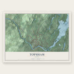
- Topsham 12" x 18" / Archival Matte Print $39.99
- West Bath 12" x 18" / Archival Matte Print $39.99
- Mast Landing 12" x 18" / Archival Matte Print $39.99


More maps nearby: Bath, Freeport, Lisbon Falls, Durham and Arrowsic.
The art of mapping a place
How This Map Was Made
Real places. Remarkable detail. Discover the layers that turn geographic data into a map of home.

The view from above
Aerial imagery reveals the character of the land: woodland, open fields, and the patterns of a place.

The shape of the land
Elevation data brings hills, valleys, and subtle changes in the landscape into view.

The details of home
Roads, waterways, and building footprints come together to make the map feel unmistakably local.

Geography becomes art
Considered color, shading, and typography bring the layers together in a map made for your wall.


Process illustrated with Mendon, Massachusetts. Aerial imagery: USDA NAIP. Terrain: USGS 3D Elevation Program. Map details and finished artwork: KNOWOL.
The Details
About This Print
Choose an archival matte print, or a black or white Ayous wood frame. The archival matte print is unframed.
Select your size and finish above to see the matching product image and price.
Materials & Craftsmanship
A contemporary map with the character of a classic atlas, printed on archival matte paper. Optional frames are made from Ayous wood.
Your printed map does not include the watermark shown in the full-map preview.
Shipping & Delivery
Free shipping within the United States. Every print is made to order in the USA.
Buying a gift? Add a note in your cart and we'll include it. We never put prices in the package.
Prints ship within 2 to 3 business days. Allow 7 to 10 days total from ordering for delivery. Timing may vary during holidays or periods of high order volume.
Read our shipping policy.
Returns and damaged prints
Each print is made to order. Change-of-mind refunds are not available after production.
If your print arrives damaged, misprinted or incorrect, contact support@knowol.com within 30 days of receiving it. Include your order number, photos and a description of the issue.
Read our full refund and replacement policy. For questions about your order, email support@knowol.com.